Browse Listings in World Maps
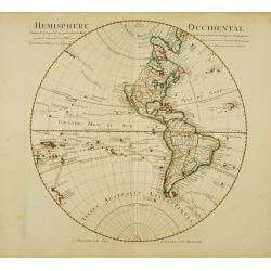
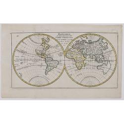
Hemisphere occidental Dresse en 1720..
Beautifully engraved, large map of the Western Hemisphere. Navigators' tracks and many south Pacific islands shown, less details in north Pacific. New Zealand is shown wi...
Place & Date: Amsterdam c. 1745
Selling price: $665
Sold
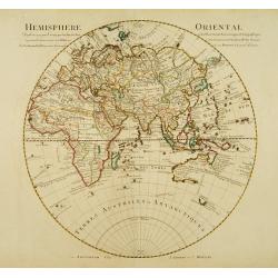
Hemisphere oriental Dressé en 1720..
Beautifully engraved, large map of the Eastern Hemisphere. Shows the tracks of the voyages of Halley and Abel Tasman.The map is from a Dutch edition of De L'Isle's work e...
Place & Date: Amsterdam, c. 1745
Selling price: $535
Sold
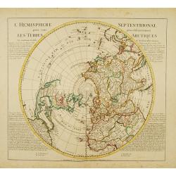
L'Hemisphere Septentrional pour voir plus distinctement les Terres Arctiques.
Decorative map depicting from the northern pole to the Equator with good detail, and showing all the political divisions. California is correctly shown as a peninsula wit...
Place & Date: Amsterdam, c. 1745
Selling price: $1200
Sold
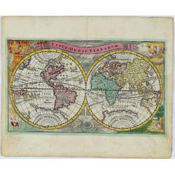
Typus Orbis Terrarum.
A decorative and rare World map published by Adam Friedrich Zurner in Nuremberg. California is shown as an island with a narrowing, irregular northern coast, substantial ...
Place & Date: Nürnberg, 1745
Selling price: $325
Sold in 2018
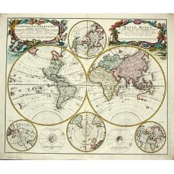
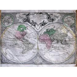
Planiglobbi Terrestris Mappa Universalis Utrumq Hemisphaerium Orient et Occidentale repraesentans / Mappe-Monde qui represente les Deux Hemispheres.
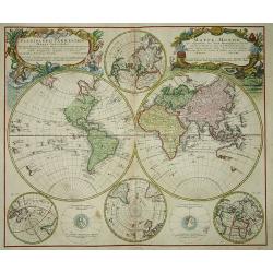
Homann Heirs (of Johann Baptist and Johann Christof) published: Grosser Atlas, 1731, 1737. Geogr. Maior, 1759, Atlas Homannianus, 1762.An attractive world map in 2 hemisp...
Place & Date: Nürnberg, 1746
Selling price: $1500
Sold in 2011
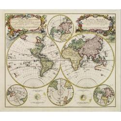
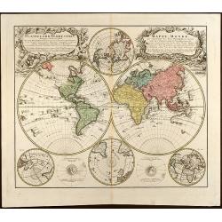
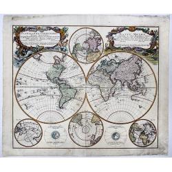
Planiglobii Terrestris Mappa Universalis.. - Mappe-Monde qui represente les deux Hemispheres..
Word map in double hemisphere. In centre two smaller hemispheres of the north and south pole are shown. Two interesting diagrams depict the earth as it would be seen from...
Place & Date: Nuremberg 1746
Selling price: $875
Sold
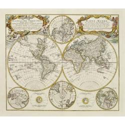
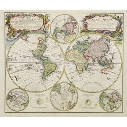
Planiglobii Terrestris Mappa Universalis.. - Mappe-Monde qui represente les deux Hemispheres..
Word map in double hemisphere. In center two smaller hemispheres of the north and south pole are shown. Two interesting diagrams depict the earth as it would be seen from...
Place & Date: Nuremberg 1746
Selling price: $800
Sold
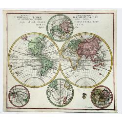
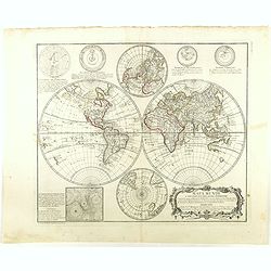
Planiglobii Terrestris Mappa Universalis Utrumq Hemisphaerium Orient et Occidentale repraesentans, Erx IV mappis generalibus Hasianis composita et adjectis ceteris hemisphaeriis designata a G.M. Lowizio. Excudentibus Homann Heredibus
Hand colored double hemisphere world map by J. M. Hase published by Homann Heirs showing also two circular charts of the North Pole and the South Pole and two small circu...
Place & Date: Nuremberg, 1746
Selling price: $1200
Sold in 2009
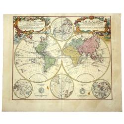
Planiglobii Terrestris Mappa Universalis.. - Mappe-Monde qui represente les deux Hemispheres..
Word map in double hemisphere. In centre two smaller hemispheres of the north and south pole are shown. Two interesting diagrams depict the earth as it would be seen from...
Place & Date: Nuremberg, 1746
Selling price: $2200
Sold
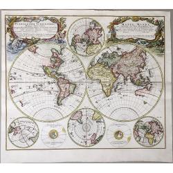
PLANIGLOBII TERRESTRIS. Mappa Universalis. - MAPPE - MONDE qui represente les deux Hemispheres savoir celui de l'Orient et celuit de l'Occident.
A world map in double hemisphere. In the centre two smaller hemispheres of the north and south pole are shown. Two interesting diagrams depict the earth as it would be se...
Place & Date: Nuremberg, 1746
Selling price: $850
Sold in 2019
Planiglobii - Terrestris Mappa Universalis. . . Mappe Monde.
The eft cartouche title (in Latin) reads: Planiglobii Terrestris Mappa Universalis Utrumqs Hemisphaerium Orient et Occidentale ...; The right cartouche title (in French)r...
Place & Date: Nuremberg, 1746
Selling price: $700
Sold in 2021
Planiglobii Terestris ... / Mappe Monde...
Word map in double hemisphere. In center two smaller hemispheres of the north and south pole are shown. Two interesting diagrams depict the earth as it would be seen from...
Place & Date: Nuremberg, 1746
Selling price: $425
Sold in 2020
EUROPA... / AFRICA... / ASIA... / AMERICA, Poly-Glotta. . .
A rare map of the four continents identifying the prevalent languages of the world. Includes tables identifying the characters of the each continent. Africa map identifie...
Place & Date: Nuremberg, 1746
Selling price: $560
Sold in 2020
Carte du globe terrestre où les terres de l'hémisphère méridl sont supposées être vues à travers celles de l'hémisphère septentl.
Important single hemisphere world map prepared by Buache's with Sea of the West. Published in Buache's "Considérations géographiques et physiques", one of his...
Place & Date: Paris, 1746
Selling price: $200
Sold in 2021
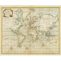
A new & correct chart of all the known world ..
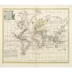
World map according to Mercator?s Projection. From Harris, A compleat collection of Voyages and Travels..A great geographic blank, labelled Parts Undiscovered, occupies a...
Place & Date: London 1747
Selling price: $610
Sold
A new & accurate chart of the world drawn from authentic..
Shows the world on Mercator's projection. The boundaries of both Australia and New Zealand are not yet completely defined. The northwest coast of North America and the su...
Place & Date: London, 1747
Selling price: $1050
Sold
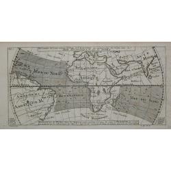
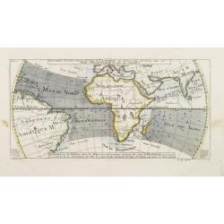
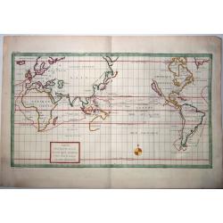
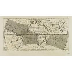
Representation du Cours ordinaire des Vents de Traverse qui regnent le long des Côtes dans la Mer Atlantique & celle des Indes.
A relatively early scientific map of the winds relating to the Atlantic and Indian oceans.Eight islands are named in the bottom margins which correspond to their location...
Place & Date: Paris 1747
Selling price: $80
Sold
Planiglobii Terrestris. . .
Johann Baptist Homann's well-engraved double hemisphere world map has large decorative cartouches.Johann Baptist Homann (1663-1724) was a German engraver and publisher, w...
Place & Date: Nuremberg, 1747
Selling price: $1100
Sold in 2009
A New & Accurate Chart of the World
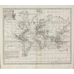
World map by Emanuel Bowen from 'A Complete System of Geography'. Showing the world in Mercator projection with isogonic lines. With one cartouche. New Zealand is largely...
Place & Date: London, 1747
Selling price: $475
Sold in 2010
A new & accurate map of all the known world. . .
A decorative very double hemisphere view of the world surrounded by vignettes of indigenous women representing all the continents, the moon, and with an attractive title ...
Place & Date: London, 1747
Selling price: $300
Sold in 2021
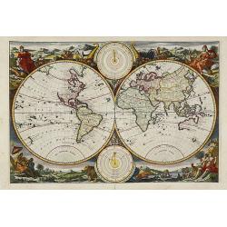
Untitled Worldmap Orbis terrarum
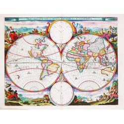
Lovely double hemisphere from a Dutch Bible published by the Keur family. The map is surrounded by allegorical representations of the continents based on Visscher. The Ke...
Place & Date: Amsterdam, 1748
Selling price: $1100
Sold in 2008
Untitled (World)
Beautiful double hemisphere from a Dutch Bible published by the Keur family. The map is surrounded by allegorical representations of the continents, based on Visscher. Th...
Place & Date: Amsterdam, 1748
Selling price: $1150
Sold in 2011
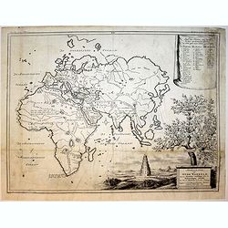
Afbeeldinge der Oude Waereld benevens Derzelve verdeling onder de Nakomelingen Noachs. 1749.
Willem Albert Bachiene (1712-1783), Dutch geographer in Maastricht. Most important work ' Heilige Geographie', a work on the Holy Land.A map of the World as it was known ...
Place & Date: Gorichem, Nicolaas Goetzee, 1748
Selling price: $120
Sold in 2017
Mappe Monde ou Description Du Globe Terrestre . . .​
Double Hemisphere Map of the World, published in Paris in 1748. The map includes the mythical cartography of the time period, including an unknown Alaska and Northwest Co...
Place & Date: Paris 1748
Selling price: $120
Sold in 2017
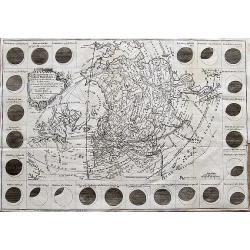
The Geography of the Great Solar Eclipse of July, 14 MDCCXLVIII : Exhibiting an accurate Map of all parts of the Earth in which it will be visible, with the North Pole, according to the latest discoveries.
An interesting map of much of the northern hemisphere. The map is surrounded by various views of the eclipse from different towns and cities around the world (Dublin, Edi...
Place & Date: London, 1748
Selling price: $150
Sold in 2017
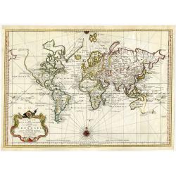
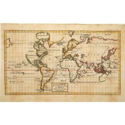
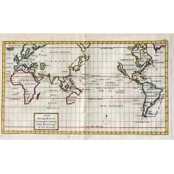
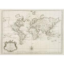
Versuch von einer kurzgefassen Karte welche die bekannten Theile der Erdkugel enthaelt ...
Detailed world map in Mercator projection showing the known parts of the globe, with cartouche and attractive compass rose.From a German edition of Bellin's Atlas 'Histoi...
Place & Date: 1748
Selling price: $425
Sold in 2021
Werelts.
A beautiful world map from a Dutch Bible published by the Keur family, this is probably the most decorative of Dutch Bible maps. The map is surrounded by allegorical repr...
Place & Date: Amsterdam, 1748
Selling price: $1100
Sold in 2019
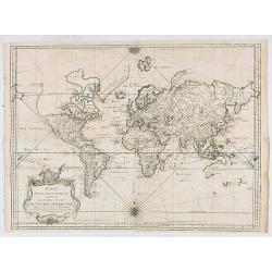
Essay d'une Carte reduite..du Globe Terrestre..
Detailed, and finely engraved large scale map of the World on Mercator's projection. Van Diemen still joined to New Holland, New Guinea has been split between Papous, the...
Place & Date: Paris, 1748
Selling price: $200
Sold in 2020
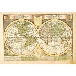
Globus ex probatisimis . . . .. / Terrestris phorum Observationibus. . .
Double hemisphere world map, in lower part of the map four blocks describing the different continents. With two celestial diagrams with depictions of the solar system bas...
Place & Date: Leipzig, 1749
Selling price: $150
Sold in 2023
Afbeeldinge der Oude Waereld...
Map of the ancient world. Tower of Bable. Descendants of Noach.
Place & Date: Amsterdam, 1749
Selling price: $70
Sold in 2016
Richtige Charte von allen bekannten theilen der Welt ..
Uncommon map of the world in Mercator projection. Title cartouche centered on the lower part of the document. Showing the track of Anson. With an incomplete coastline of ...
Place & Date: Germany 1750
Selling price: $160
Sold
An Essay of a new and compact map containing .. The known parts of the Terrestriale Globe..
A very large world chart on Mercator's projection with English title cartouche (the map has French text). North America is shown with a Fl. de L'Ouest connecting through ...
Place & Date: The Hague 1750
Selling price: $600
Sold
Diversi Globi Terr-Aquei, Statione Variante et Visu Intercendente
The magnificent, highly detailed world map from Seutter's set of world and continental maps features the world in two hemispheres, surrounded by windheads that recall 16t...
Place & Date: Nuremberg 1750
Selling price: $2400
Sold
Orbis Vetus in utra que continente..
Very decorative large, double-hemisphere map of the ancient world, by the leading French map-maker of the day. In the two cusps are finely engraved cartouches, around the...
Place & Date: Paris 1750
Selling price: $1000
Sold in 2009
General Karte zur erleuterung der Missions-Geschichte..
Fine map of the eastern hemisphere with Europe, Africa, Asia and tip of Australia (Nova Hollandia). With an unusually curved Korea. Including a over-sized I.Formosa Text ...
Place & Date: Germany c. 1750
Selling price: $480
Sold
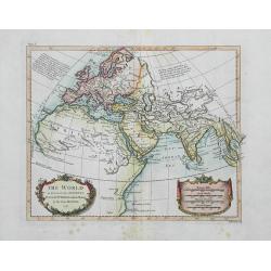
The World as known to the Antients...
Interesting map of the ancient world with notes of Ptolemy. Shows place names, rivers, islands, and mountains. Drawn for Rollin by D'Anville. Decorated with nice colorin...
Place & Date: London, c1750
Selling price: $30
Sold in 2016
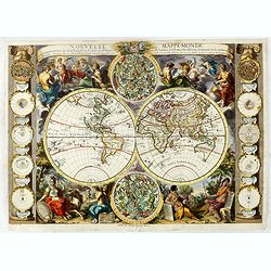
Nouvelle mappe-monde avec la représentation des deux hémisphères ... Gravée par Delamonce et publiée par Daudet, marchand de cartes à Lyon. . .
First state: This state does not include a Mer de L'Ouest as in state 2. Lower left, "Delamonce Inv. Et del. Avec Privilege du Roy". Lower center, "A LYON ...
Place & Date: Lyon, 1750
Selling price: $2750
Sold in 2016
Carte dans laquelle on voit la route que le Centurion a tenu dans le voiage au tour du monde.
A copper engraved map; overall size 33.5 x 50 cmA nicely colored World map, on Mercator's Projection, depicting Anson's voyage around the World. Engraved by Lattre; Frenc...
Place & Date: Paris, ca.1750
Selling price: $200
Sold in 2017
Mappa Totius Mundi Adornata juxta Observationes Dnn Academiae Regalis Scientarum. . .
A very decorative, large double hemisphere map of the World, published by Lotter in Augsburg, before 1775 (no date added in this version).This map is particularly interes...
Place & Date: Augsburg, ca. 1750
Selling price: $760
Sold in 2019
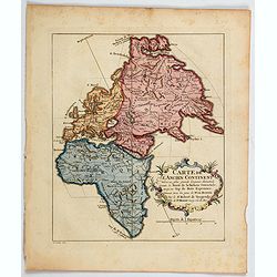
Carte de L'Ancien Continent. . .
An unusual map showing a north-south axis at an oblique angle to the continents. The map shows the old world of Africa, Europe and Asia from Russia to the Cape of Good Ho...
Place & Date: Paris, ca 1750
Selling price: $50
Sold in 2020
Voyage around World by Anson. -CARTE dans lequelleon voit la route que le Centurion a tenu. . .
A map of Anson's voyage around the world from the French edition of the voyage published in 1750. It was engraved by Lattre and is identical to the English edition "...
Place & Date: Paris, 1750
Selling price: $92
Sold in 2021
Orbis Terrarum Tabula Recens Emendata Et In Lucem Edita.
A world map in two hemispheres, decorated in the corners with the representations of the four continents in allegorical form.
Place & Date: Amsterdam, c. 1750
Selling price: $1160
Sold in 2022
Orbis Vetus in utraque continente. . .
Impressive, large double hemisphere map of the ancient world beautifully engraved in the robust style characteristic of Robert de Vaugondy. The map presents a historical ...
Place & Date: Paris, 1752
Selling price: $140
Sold in 2011
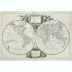
Mappemonde ou description du globe terrestre, dressee sur les memoires les plus nouveaux, et assujettie aux observations astronomiques. . .
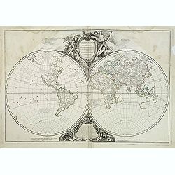
Beautiful world map in two hemispheres from the Delamarche edition of Giles and Didier Robert De Vaugondy's famous Atlas Universal. Map shows the voyages of Anson in 1740...
Place & Date: Paris, 1752
Selling price: $275
Sold in 2011
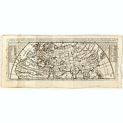
Carte pour servir d'entrée et d'introduction à la geographie et à l'itelligence de l'histoire universele.
Scarce small map of central Italy based on cartography of Nicolas Sanson. Published in "Nouveau traité de geographie par M**** ", published by La veuve Lottin ...
Place & Date: Paris, 1752
Selling price: $25
Sold in 2015
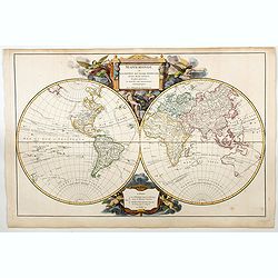
Mappemonde ou Description du Globe Terrestre. . .
A beautiful World map in two hemispheres from the 1757 first edition of Giles and Didier Robert De Vaugondy's famous Atlas Universal.The map shows the voyages of Anson in...
Place & Date: Paris, 1752
Selling price: $425
Sold in 2023
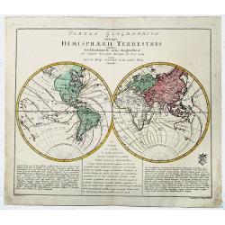
Tabula Geographica utriusque HEMISPHAERII TERRESTRIS.
A decorative, old color, double hemisphere map of the World, which appeared in Leonard Von Euler's world atlas, published in Berlin. The map provides a highly scientific ...
Place & Date: Berlin, 1752
Selling price: $239
Sold in 2019
Mappa Geographica UTRIUSQUE TERRAE HEMISPHAERII...
Decorative, double hemisphere map of the World, which appeared in Leonard Euler's world atlas, published in Berlin.The map provides a highly scientific look at the world,...
Place & Date: Berlin 1752
Selling price: $360
Sold in 2021
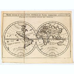
Mappe monde ou description generale du globe terrestre suivant Mr.de Lisle de l'academie Royale des sciences.
A scarce small map of the world by Guillaume Delisle. A copper engraving published in, "Nouveau traité de geographie..." Curiosities include a misshapen Japan ...
Place & Date: Paris, 1752
Selling price: $46
Sold in 2020
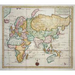
Nieuwe Kaart van het Oostelijkste Deel der Weereld
Finely engraved map of the Eastern Hemisphere provides an excellent view of the still evolving cartography of the Far East. The depiction of East Asia includes an extende...
Place & Date: Amsterdam 1753
Selling price: $190
Sold
Vorstellung des ordentlichen Strichs der Gegenwinde, . . . N°16.
Map showing the winds in the Atlantic and Indian Oceans, centered on Africa, with part of Europe, South America and part of Asia in particular India. In: Allgemeine Histo...
Place & Date: Leipzig, 1753
Selling price: $40
Sold in 2009
Versuch von einer kurzgefassten Karte welche die bekannten theile der Erdkugel . .
Map of the world with its five continents. In: Allgemeine Historie der Reisen zur Wasser und zu Lande: oder Sammlung aller Reisebeschreibungen.. in Englischen zusammen ge...
Place & Date: Leipzig, 1753
Selling price: $325
Sold in 2008
Tabula Geographica Hemisphaerii Borealis...
Uncommon map of the North Pole. Shows the fictitious Mer de L’Ouest prominently with an extensive river system connecting it with the Great Lakes. Alaska is shown parti...
Place & Date: Berlin, 1753
Selling price: $90
Sold in 2014
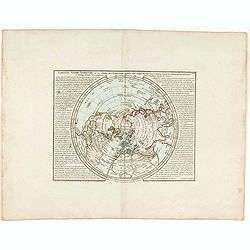
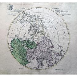
Tabula Geographica. HEMISPHAERII BOREALIS. . . [North-West passage, Bay of the West]
A scarce map with original full wash hand coloring, of the north pole by Johann Cristoph Rhode, showing the hypothetical Mer de L’Ouest, with an extensive river system ...
Place & Date: 1753
Selling price: $150
Sold in 2020
Nieuwe Wereld Kaart waar in de Reizen van den Hr. Anson rondsom de Wereld met een gestipte Linie worden Aangewezen.
A attractive world map in Mercator projection with the travels of Anson. California as an Island. Centered on Australia.Showing the route of Commodore Anson around the wo...
Place & Date: Amsterdam, 1754
Selling price: $160
Sold in 2011
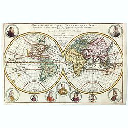
Mappe-Monde ou carte generale de la terre.
World map in two hemispheres prepared by de Lisle.
Place & Date: Paris, ca. 1754
Selling price: $175
Sold in 2016
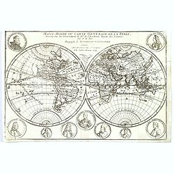
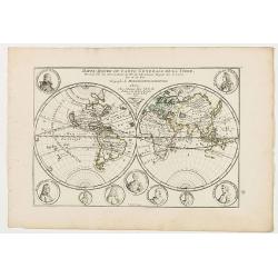
Mappe-Monde ou carte generale de la terre.
World map in two hemispheres prepared by de Lisle. The hemispheres are surrounded by small portraits of nine explorers: Père Tachard SJ, de la Salle, Dampier, Magellan, ...
Place & Date: Paris, ca. 1754
Selling price: $250
Sold in 2023
Mappe-Monde ou carte generale de la terre.
World map in two hemispheres prepared by de Lisle. The hemispheres are surrounded by small portraits of nine explorers: Père Tachard SJ, de la Salle, Dampier, Magellan, ...
Place & Date: Paris, ca. 1754
Selling price: $100
Sold in 2020
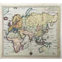
Nieuwe Kaart Van het Oostelykste Deel der Weereld. . .
A very decorative map of the Eastern part of the world. It provides an excellent view of the still evolving cartography, particularly in the Far East. The delineation of ...
Place & Date: Amsterdam, 1754
Selling price: $130
Sold in 2022
Nieuwe Kaart van het Westelykste Deel der Weereld. . .
A very decorative map of the Western part of the World by Isaac Tirion. The Americas display a speculative river to the West through North America, beginning at the Great...
Place & Date: Amsterdam, 1754
Selling price: $140
Sold in 2022
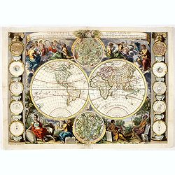
Nouvelle mappe-monde avec la représentation des deux hémisphères ... Gravée par Delamonce et publiée par Daudet, marchand de cartes à Lyon. . .
The much rarer state 2: Now with Mer de L'Ouest and De Fonte's geography ("De Fonte's myth") added to the northwest coast of North America. This is the rare var...
Place & Date: Lyon, 1755
Selling price: $3600
Sold in 2016
Mapa Mundi O Description Del Globo Terrestre Compuesta segun las ultimas y nuevas oserationes de las Academias, y de Parsi y de Londres . . .
Very rare and unrecorded double hemisphere map of the World. The map showing Nueva Hollanda (Australia), "Lago Hermoso" or Sea of the West, along with Lago Vela...
Place & Date: London or Spain, ca. 1755
Selling price: $1000
Sold in 2020
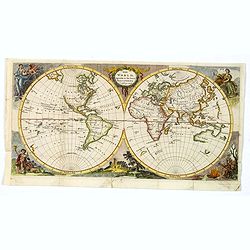
The World, Agreeable to the latest Discoveries.
A twin hemisphere map of the world by English cartographer Thomas Jeffereys, published in London during the mid-eighteenth century. The map shows an incomplete Australia ...
Place & Date: London, ca 1755
Selling price: $160
Sold in 2019
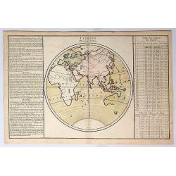
Climats d'Heures et de Mois.
A decorative map of the World showing one hemisphere divided into climates according to the length of the day. Left and right a box with information about these climates....
Place & Date: Paris, 1756
Selling price: $45
Sold in 2019
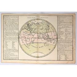
Division Generale et Naturelle de la Terre, Suivant les Anciens.
A decorative map of the Eastern Hemisphere, illustrating the zones of the world. With an incomplete image of Australia. Russia is labelled Tierre Incognita.Prepared by de...
Place & Date: Paris, 1756
Selling price: $42
Sold in 2019
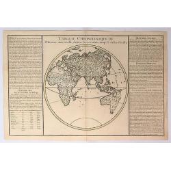
Tableau Chronologique de L'histoire Universelle Depuis la Creation Jusqu'a a Jesus Christ.
This map shows the history from the time of Christ, with the titles; Avant, Premier Age, Histoire Sacree, Histoire Profane and Situation du Paradis Terrestre. It is inter...
Place & Date: Paris, 1756
Selling price: $30
Sold in 2019
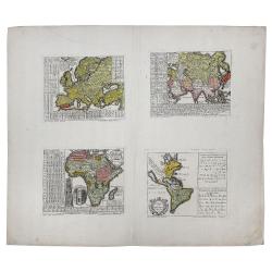
[4 sheets] LA EUROPA Dividida en sus principales Estados / EL AFRICA Dividida en todos sus principales Reynos / EL ASIA Co toda la Extension de sus Reinos y Provincias. . .
This is a rare spanish FOUR CONTINENTS MAP SET of Europe, Africa, Asia and America made by Pedro Gendron - the titles can be roughly translated as - ". . .divided in...
Place & Date: Madrid, after 1756
Selling price: $2000
Sold in 2021
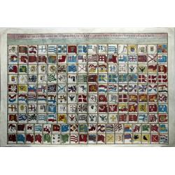
Tableau Des Pavillons ou Bannieres Que La Pluspart Des Nations Arborent a la Mer.
A large engraved plate with over 160 different National and Maritime Flags which appeared in Bellin's L'Hydrographie Francois. The map includes a remarkable array of nati...
Place & Date: Paris, 1756
Selling price: $450
Sold in 2020
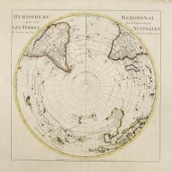
SOUTHERN HEMISPHERE.
Large map of the southern hemisphere, with the south pole in the center, showing also the southern parts of America, Africa, Asia and Australia. Originally designed and e...
Place & Date: Amsterdam, 1757
Selling price: $525
Sold
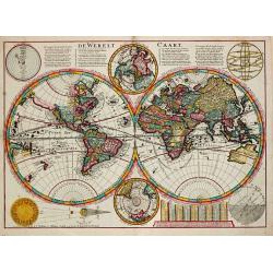
De Werelt Caart.
Dutch so-called ' Staten' bibles, published between 1637 and c. 1760, contained 5 maps: The World, ' Paradise', The Perigrinations, The Promised Land Canaan, The Travels ...
Place & Date: Amsterdam, S. Luchtmans, 1757
Selling price: $1350
Sold in 2008
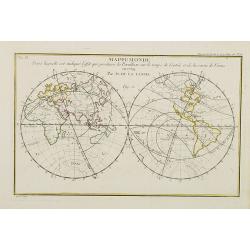
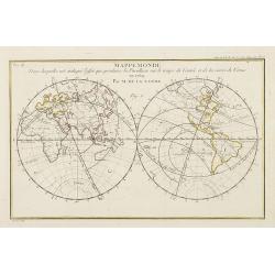
Mappemonde dans laquelle est indiqu\'e l\'effet que produira la parallaxe sur le temps de l\'entr\'ee et de la sortie de Venus en 1769 / par M. de la Lande.
Double hemispherical world map showing the transit of Venus in front of the Sun in 1769. In upper right margin: Mem. de l\'Ac. R. des Sc 1757, Page 250 Pl. 15. In upper l...
Place & Date: Paris, 1757
Selling price: $150
Sold in 2008
Mappemonde dans laquelle est indique l'effet que produira la parallaxe sur le temps de l'entr'ee et de la sortie de Venus en 1769 / par M. de la Lande.
Double hemispherical world map showing the transit of Venus in front of the Sun in 1769. In upper right margin: Mem. de l'Ac. R. des Sc 1757, Page 250 Pl. 15. In upper le...
Place & Date: Paris, 1757
Selling price: $200
Sold in 2009
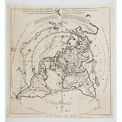
A Physical Planisphere wherein are represented all the known Lands and Seas with the Great Chain of Mountains. . . and Seas in the Great Chains of Mountains. . .
This is an elegant 1757 map of the world represented on an unusual polar projection rendered from the North Pole. The map covers from the North Pole Arctic region south b...
Place & Date: London, 1757
Selling price: $180
Sold in 2023
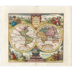
Typus Orbis Terrarum.
Decorative world map showing California as an island after the second Sanson model. The figures in each corner symbolise the four continents.
Place & Date: Nuremberg, 1758
Selling price: $860
Sold in 2023
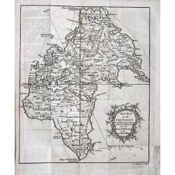
Old Map of the Continent according to the greatest diametrical Length from the Point of East Tartary to the Cape of Good Hope.
Unusual projection of Europe, Asia, and Africa. Shows major cities, regions, rivers and mountains. A woman’s face with a hat is incorporated into the title cartouche. ...
Place & Date: London, 1758
Selling price: $28
Sold in 2013
Répresentation du cours ordinaire des Vents de Traverse, qui règnent le long des côtes dans la Mer Atlantique & celle des Indes.
Jaques Nicolas Bellin (1702-720) was the most important French hydrographer of the 18th century. Sea-atlas 'Hydrographique Français' , 1756-65, atlas to accompany Prévo...
Place & Date: Paris, c. 1760
Selling price: $50
Sold
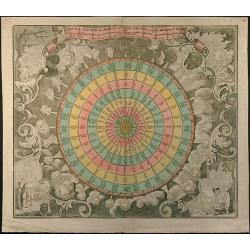
Tabula Anemographica seu Pyxis Nautica, vulgo Compass Charte
Wind map in stile of a wind rose. Original old coloring by the publisher.
Place & Date: Augsburg, 1760
Selling price: $1200
Sold in 2015
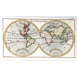
Mappemonde
A simple double hemisphere map of the world. Inconsistencies with current maps include: the eastern coast of Australia and New Zealand are not yet completely formed; the ...
Place & Date: Paris, ca. 1760
Selling price: $120
Sold in 2021
Mappa Mundi ou carta geografica de Europa, Africa, America e Azia.
Unrecorded very large double hemisphere world map from the second half of the XVIII century. The map closely resembles in its geographical features that of the Parisian p...
Place & Date: Portugal, ca 1760
Selling price: $3850
Sold in 2019
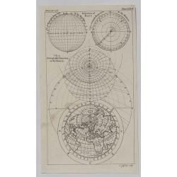
North Polar Regions.
A detailed little map of the North Polar Regions by Thomas Jeffreys in 1760. It features the Orthographic, Azimuth and Stereographic Projections as well as the world fro...
Place & Date: London, 1760
Selling price: $63
Sold in 2020
![Tabula Geographica. HEMISPHAERII BOREALIS. . . [North-West passage, Bay of the West]](/uploads/cache/83551-250x250.jpg)

![[4 sheets] LA EUROPA Dividida en sus principales Estados / EL AFRICA Dividida en todos sus principales Reynos / EL ASIA Co toda la Extension de sus Reinos y Provincias. . .](/uploads/cache/83544-250x250.jpg)
