Wish List
 With WishList / Virtual Collection, you can save and collect your favorite items in one place. It is free and you can delete an item from your list at any time.
We have already added the purchased items or items for which you have placed bids in the past. With one click, you can add any of the 30,000+ maps, prints or Medieval manuscripts from our BuyNow Catalog or Catalog Archive.
NOTE :
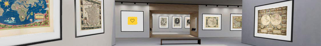
- Add an item to this Virtuam Collection List by clicking on the
 icon on any of the 30,000+ items in the BuyNow Catalog or Catalog Archive
- The item is can be deleted from this list by clicking on the
 icon.
icon.
- Below you can disable update notifications for specific categories.
- You will be the first to be updated when new items or updates in these categories become available in our BuyNow catalog. Select / deselect your email notifications settings.
- You need to be logged in to see your items. Learn more [+]
Your Virtual Collection list is empty.