Browse Listings in Europe > Switzerland > Switzerland General
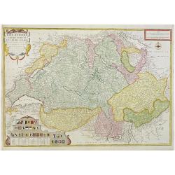
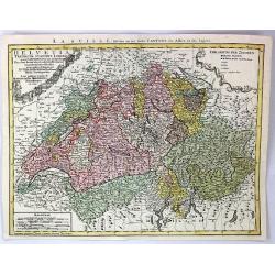
Helvetia Tredicim Statibus Liberis.
Detailed map of Switzerland along with parts of Italy, France, Germany, and Austria. The map notes fortified cities, villages, roads, bridges, forests, castles, and topog...
Place & Date: Nuremberg, 1752
Selling price: $101
Sold in 2016
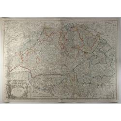
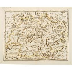
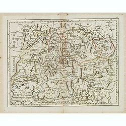
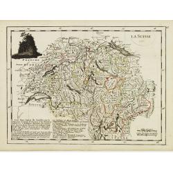
La Suisse.
Fine map of Switzerland with dark decorative cartouche on upper left corner. With date 1743 added in manuscript.George Louis Le Rouge was active from 1740- till 1780 as a...
Place & Date: Paris 1756
Selling price: $35
Sold in 2009
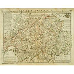
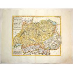
Nuovo Carta dei XIII Cantoni degli Svizzeri insieme coi loro Alleati e Sudditi.
Fine Copper Engraved map of Switzerland from "Atlante Novissimo che Contiene Tutte le Parti del Mondo" by Giambattista Albrizzi. Two block type cartouches. Giam...
Place & Date: Venice, 1740-1762
Selling price: $40
Sold in 2016
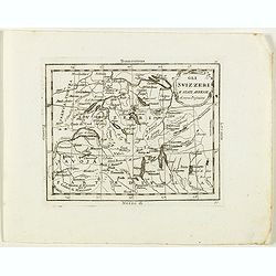
[No title] Carte générale d'Allemagne divisée et numérotée...des postes et autres routes de cet empire.
Map of Switzerland and part of south west Germany and Lake Como, including the postal roads until Milan and Turin.A so called post road mapspost route map.Desnos, born in...
Place & Date: Paris, 1766
Selling price: $45
Sold in 2011
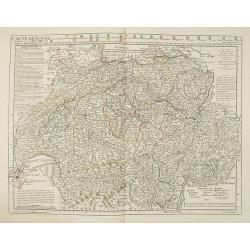
Les Suisses leurs sujets et leurs alliez. . .
Un uncommon later edition of De Fer's map of Switzerland, now updated and corrected by his successor, Louis Charles Desnos. In the lower left corner thirteen coats of arm...
Place & Date: Paris , ca. 1766
Selling price: $157
Sold in 2011
Carte de la Republique des Suisses.
A fine detailed map of Switzerland featuring the cantons. The map was engraved by J.E.. Hauman in Paris in 1777, and was published by Chez Mondhare. The map features a de...
Place & Date: Paris, 1777
Selling price: $112
Sold in 2019
Nova Totius Helvetiae cum suis subditis ac sociis tab. Geogr. . .
Detailed map of Switzerland divided up it its cantons. This one of the most decorative maps of Switzerland published in the eighteenth century, with many engraved place n...
Place & Date: Augsburg, 1778
Selling price: $250
Sold in 2011
Nova Totius Helvetiae cum suis subditis ac sociis tab. Geogr. . .
Detailed map of Switzerland divided up it its cantons. This one of the most decorative maps of Switzerland published in the eighteenth century, with many engraved place n...
Place & Date: Augsburg, 1778
Selling price: $200
Sold in 2021
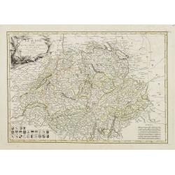
Carte de Suisse ou sont les Cantos de ..
General map of Switzerland with all the cantons good detail. In upper part 24 coats of arms of the different cantons.
Place & Date: Paris, 1780
Selling price: $250
Sold in 2014
Gli Svizzeri e stati Anessi di nuova Projezione.
Rare map of Switzerland, from "Atlante Novissimo ad uso Dei Giovani Studiosi Contenuto In Carte XXVII.", published by Giovanni Zempel in Rome, ca. 1780.The map ...
Place & Date: Rome, 1780
Selling price: $90
Sold in 2018
Les Treize Cantons de la Suisse, leurs allies, les sujets de ces Cantons; et ceux de leurs allies.
Attractive map with decorative coloring. Published in an atlas by Rigobert Bonne, engraved by André. Shows Switzerland and its bordering areas. Including parts of north...
Place & Date: Paris, 1780
Selling price: $17
Sold in 2021
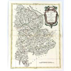
Parte Orientale Dell Elvezia Divisa Ne' Suoi Cantoni.
Parte Orientale Dell Elvezia Divisa Ne' Suoi Cantoni. Eastern Switzerland from Lake Constance (Bodensee) south to Lago Maggiore and Lago di Lugano. Cantons shown: Schaffh...
Place & Date: Venice, 1781
Selling price: $26
Sold in 2016
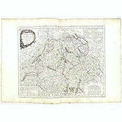
Carte de la Suisses des Alliés des Suisses et de leurs Sujets ..
Rare map of Switzerland prepared by J.B.Nolin and published by Monhare for his Atlas Général a l'usage des colleges et maisons d'education.. Louis Joseph Mondhare publi...
Place & Date: Paris, 1783
Selling price: $150
Sold in 2013
La Suisse divisée En Ses Treize Cantons Et Ses Alliés..
Attractive map of Switzerland, ornated with a rococo title cartouche. 24 coats of arms in the lower left corner. Boundaries outlined in hand color.From theAtlas moderne o...
Place & Date: Paris, ca 1783
Selling price: $35
Sold
Carte de la Suisses . . .
Scarce map of Switzerland prepared by de la Fosse and published by L.J. Mondhare for his Atlas Général a l'usage des colleges et maisons d'education.. Louis Joseph Mond...
Place & Date: Paris, 1783
Selling price: $50
Sold in 2017
La Suisse divisée en ses treize cantons et ses alliés..
Finely and crisply engraved map of Switzerland from Geneva to Lake Constance.Venetian edition of Giles Didier Robert De Vaugondy\'s map from Atlas Universel printed in 17...
Place & Date: Venice, 1778 - 1784
Selling price: $120
Sold in 2009
La Suisse divisée en ses treize cantons et ses alliés. . .
Finely and crisply engraved map of Switzerland from Geneva to Lake Constance.With ornamental title cartouche and noteworthy topographical detail.The map was prepared by t...
Place & Date: Venice, 1778 - 1784
Selling price: $55
Sold in 2017
Switzerland Divided Into Thirteen Cantons.
A very detailed map of Switzerland by Samuel Dunn and published by Robert Sayer in London in 1786.
Place & Date: London, 1786
Selling price: $17
Sold in 2016
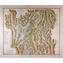
Carte de la Partie des Alpes Qui Avoisine le Mont Blanc.
A rare map featuring mountains in the Alps, mainly in Switzerland. This map is from the famous work by H. B. De Saussure "Voyages dans les Alpes" printed in Neu...
Place & Date: Paris, 1786
Selling price: $301
Sold in 2017
La Suisse Divisee en Toutes ses Cantons.
An attractive and informative map of Switzerland by French cartographer, Louis Brion de la Tour. It notes numerous towns, cities, rivers, forests, mountains and other top...
Place & Date: Paris, 1790
Selling price: $30
Sold in 2018
Nova et Accuratissima Helvetiae
Large map of Switzerland detailing the land from Lake Geneva to Lake Constance. The map shows the various cantons and has excellent pictorial representation of the topogr...
Place & Date: Amsterdam, 1792
Selling price: $300
Sold in 2009
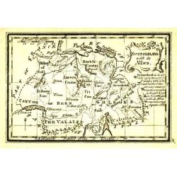
Switzerland with its Allies.
Uncommon miniature map from Gibson's "Atlas Minimus, or a New Set of Pocket Maps of the several Empires, Kingdoms and States of the known World".
Place & Date: London, 1792
Selling price: $35
Sold
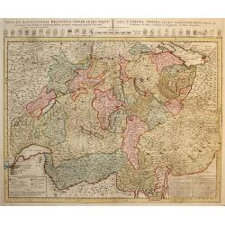
Nova et Accuratissima Helvetiae Foederatarumque... per de l'Isle
Large map of Switzerland detailing the land from Lake Geneva to Lake Constance. At the top of the map is a row of armorial shields for the cantons noting whether they wer...
Place & Date: Amsterdam, 1792
Selling price: $300
Sold in 2011
(2 Maps) La Republique Helvetique & Poitou, Aunis, Saintonge et Angoumous. La Marche, Limosen et Auvergne.
Two detailed maps by Delamarche, a worthy successor to R. de Vaugondy. ~One map is of Switzerland, and the other is of several provinces of France.
Place & Date: Paris, 1794
Selling price: $7
Sold in 2016
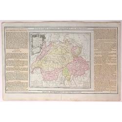
Carte Physique et Politique de la Suisse.
A finely engraved map of Switzerland issued in an “Atlas Universel de Géographie Physique et Politique, Ancienne et Moderne”, which was published in by Mentelle and...
Place & Date: Paris, 1798
Selling price: $70
Sold in 2017
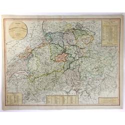
Charte von Helvetien und Wallis.
A pleasing map of Switzerland and Northern Italy. Detailed topography with mountains, rivers and lakes. The mapmaker was Goetze from Weimar in 1803. Four informational i...
Place & Date: Weimar, 1803
Selling price: $22
Sold in 2016
La République Helvétique en ses 19 Cantons.
Map of Switzerland. By C. F. Delamarche, successor of Robert de Vaugondy, Geographer.
Place & Date: Paris, 1794 - 1806
Selling price: $50
Sold in 2019
Swisserland
A fine map of Switzerland by John Thomson in 1817. It is divided into two parts, the top part of the sheet covers the Helvetic Confederation of Switzerland, as divided in...
Place & Date: Edinbourgh, 1817
Selling price: $110
Sold in 2019
Carte de Suise ou sont les Cantos de Zurich Berne . . .
Very interesting map of Switzerland, colored in outline. Along the top 26 coats of arms of the diverent cantons. Buache drew heavenly on the work of Delisle. This edition...
Place & Date: Paris, 1818
Selling price: $180
Sold
Suisse
Attractive map of Switzerland with decorative borders depicting typical artifacts and produce of the continent. Published in Les jeunes voyageurs en Europe.. . Engraved b...
Place & Date: Brussels, 1824
Selling price: $80
Sold in 2020
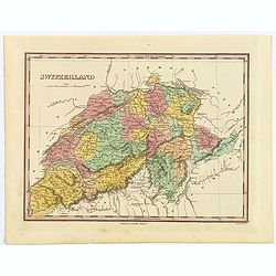
Switzerland.
A beautiful example of Finley's 1827 map of Switzerland. With Finley's classic minimalist style, this map identifies cities, forests, river systems, swamps and mountains....
Place & Date: Philadelphia, 1827
Selling price: $10
Sold in 2019
Carte routière de la Suisse . . .
Road map of Switzerland, prepared by A. H. Basset, rue Saint-Jacques, no. 64, Paris and published in Atlas classique et Universel de Géographie . . . .The engraver of th...
Place & Date: Paris, A.H. Basset, 1828
Selling price: $100
Sold
Confédération Suisse.
Finely engraved map of Switzerland prepared by A.H.Dufour and engraved by Giraldon-Bovinet. Published by Jules Renouard in his uncommon atlas "Le globe Atlas classiq...
Place & Date: Paris, Jules Renouard, ca.1840
Selling price: $20
Sold in 2017
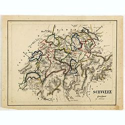
Schweiz gezeichnet von G.Asbach.
Fine manuscript map of Switzerland.
Place & Date: Germany, ca. 1843
Selling price: $23
Sold in 2018
Switzerland (Die Schweiz ; La Suisse)
Large striking map of Switzerland by W & A.K. Johnston in Edinburgh in 1843. It definitely shows the high level of mountains in the country. It features an insert of ...
Place & Date: Edinburgh, 1843
Selling price: $15
Sold in 2017
Carte de la Suisse..
Decorative map of Switzerland, prepared by J.G.Barbié du Bocage.Engraved by Ch.Smith, published by Basset who was established in Paris, rue de Seine 33. From atlas Illus...
Place & Date: Paris, 1846
Selling price: $45
Sold in 2009
Karta öfver Helvetien.
An very rare map of Switzerland with Swedish text. This is an updated version of his map of 1820 and is now dated 1833.From his atlas "Geographisk Hand-Atlas" f...
Place & Date: A. Wiborgs förlag, Stockholm, ca. 1848
Selling price: $50
Sold in 2017
Switzerland.
A very decorative steel-engraved map of Switzerland. Very detailed with numerous place names, mountains, rivers, hills, lakes, etc. Locates the Mount Blanc, Lake Como, an...
Place & Date: London, 1851
Selling price: $10
Sold in 2016
Carte de la Suisse, or Helvetie, par Delamarche, 1858.
Unusual map of Switzerland that has been boldly engraved to feature the remarkable mountainous topography of Switzerland. Charles-François Delamarche (1740 - 1817) was a...
Place & Date: Paris , 1858
Selling price: $16
Sold in 2017
Zwitseland en het Vorstendom Lichtenstein.
Uncommon map of Switzerland and Lichtenstein. Lithography by J.H. van Weijer, published in Atlas der geheele Aarde [?] in 24 kaarten.
Place & Date: Groningen, ca. 1860
Selling price: $15
Sold in 2008
Suisse.
Detailed map of Switzerland and surrounding regions. It comes from "ATLAS SPHEROIDAL & UNIVERSEL DE GEOGRAPHIE". published in Paris by Jules Renouard in 186...
Place & Date: Paris, 1860
Selling price: $45
Sold in 2017
Suisse.
Very detailed map from Atlas Sphéroïdal & Universel de géographie , Prepared by F.A.Garnier and edited by Jules Renouard, rue de To...
Place & Date: Paris, 1861
Selling price: $50
Sold in 2010
Suisse et Nord de l'Italie.
Large and very detailed lithographed map of Switzerland. Includes also Austria until Innsbruck, Italy until Modena, France until Grenoble, and Germany until Munich. V...
Place & Date: Paris, 1865
Selling price: $20
Sold in 2013
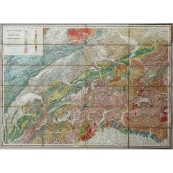
Carte Geologique de la Suisse de M.M.B. Studer et A. Escher von der Linth. 2nd Edition revue et corrigée d'après les publications récentes et les communications des auteurs et de M.M. v. Fritsch, Gilleron, Jaccard, Kaufmann, Mösch, Müller, Stoppani, Théob
Lithographic map, dissected and laid on linen as issued. When folded the map is protected by two contemporary "leather" covers with the title imprinted in gold....
Place & Date: Winterthur, 1869
Selling price: $201
Sold in 2020
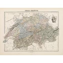
Suisse ou Helvétie.
Decorative map of Switzerland from Géographie Universelle, Atlas Migeon. published by J. Migeon. Very nice engraving of view of the Chapel of Willem Tell. Engraving by S...
Place & Date: Paris, 1874
Selling price: $30
Sold in 2011
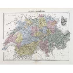
Suisse ou Helvétie.
A decorative map of Switzerland from Géographie Universelle, Atlas Migeon, published by J. Migeon. With an engraving of William Tell's Chapel in the upper right corner. ...
Place & Date: Paris, 1874
Selling price: $10
Sold in 2012
Wandkarte der Alpen nach dem Entwurfe & unter der Leitung des Vinzenz von Haardt ausgeführt in Ed. Holzel's geographischem Institut in Wien...
Large folding map of French and Swiss Alps. Hölzels' masterpiece of cartography, edited by Vincent von Haardt. Eduard Hölzel opened in 1844 a bookstore in Olomouc (now...
Place & Date: Vienna, 1885
Selling price: $500
Sold in 2019
Panorama vom Gornergrat.
The Gornergrat is situated in Switzerland, between the Gornergletscher and Findelgletscher and offers views of more than 20 four-thousand metre peaks, whose highest are t...
Place & Date: London, ca 1893
Selling price: $45
Sold in 2019
Map of Switzerland.
Rand McNally & Company. Indexed Atlas of the World.The name Rand McNally is today synonymous with maps, and Rand McNally & Company is one of the foremost cartog...
Place & Date: Chicago, 1895
Selling price: $25
Sold in 2010
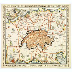
Switzerland The very Heart of Europe / and her International Railway Connections.
A fun map of a centrally positioned Switzerland, mapped in some detail, surrounded by all her many connecting train routes with her neighboring countries. Cities outside ...
Place & Date: Zurich, 1933
Selling price: $45
Sold in 2018
Map of the Republic Switzerland, describing its 22 cantons.
Very detailed map of Switzerland. Upper right hand corner geographical notes, lower left, explanations of the signs.James Wyld (the younger) was geographer to the Queen a...
Place & Date: London 1855/64
Selling price: $60
Sold
Die Eydtgnoschafft,oder das Schwytzerlandt. . .
An antique map of Switzerland and the source of the Rhine, by Sebastian Munster.One of the Earliest Modern Maps of Switzerland. This map is also the first of the 3 sheets...
Place & Date: Basel, ca 1550
Selling price: $150
Sold in 2020
![[No title] Carte générale d'Allemagne divisée et numérotée...des postes et autres routes de cet empire.](/uploads/cache/29261-250x250.jpg)
