Browse Listings in Europe > Switzerland > Swiss Cantons
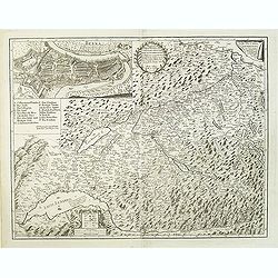
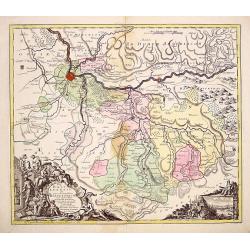
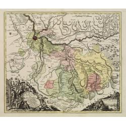
Inclytae Urbis et Ditionis BERNENSIS cum locis finidimis Tabula Geographica et Hydrographica noviter correcta.
Map centered on Bern. Inset: a bird-eye view of the city.VERY RARE!
Place & Date: Basle, 1734
Selling price: $720
Sold
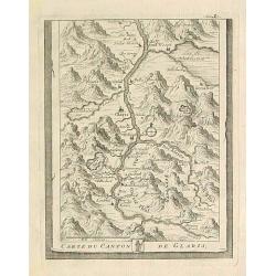
Carte du Canton de Glaris.
From Delice de la Suisse . Including Wallen See.
Place & Date: Austria 1740
Selling price: $10
Sold
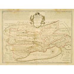
Carte de la Souveraineté de Neufchatel et de Vallangin..
Very beautiful map of Neufchatel in Switzerland, prepared by David François de Merveilleux in 1710.
Place & Date: Paris, 1745
Selling price: $250
Sold
[2 maps] Le cours du Rhin de Constance a Bale : en deux feuilles contenant le Fricqthal les Quatre Ville Forrestieres et partie de la Souabe / verifié sur les lieux par l'auteur.
Two maps forming an early map of the Rhine valley on such a large scale.1:100 000 Le Rouge (1712-1778) was born in Hanover and may have spent his youth there, though his ...
Place & Date: Paris, 1745
Selling price: $82
Sold in 2011
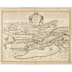
Carte de la Souverainité de Neuchatel et Vallangin.
Fine ornamental map representing the lake of Neufchatel. With explanatory text on both sides of the decorative title cartouche which is situated at the centre of the map....
Place & Date: Amsterdam, c. 1745
Selling price: $450
Sold in 2012
II. Cours du Rhin ou sont les environs de Basle, et de Rhinfelden.
Small detailed map illustrating the stretch of the Rhine which flows between Basel and Rheinfelden.From Atlas Portatif Universel, by Robert de Vaugondy.Unrecorded state w...
Place & Date: Paris, later than 1749
Selling price: $15
Sold in 2021
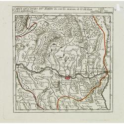
I. Carte du Cours du Rhin où sont les environs de Waltshut, et de Laufenburg.
Small detailed map centered on Laufenburg, illustrating the first stretch of the Rhine which flows between Germany and Switzerland.From Atlas Portatif Universel, by Rober...
Place & Date: Paris, later than 1749
Selling price: $25
Sold in 2013
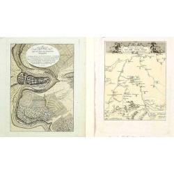
Two maps and a print of Switzerland. [3 items].
Uncommon map 38x61cm) centered on Lake Lucerne, with the Alps in the back ground. Engraved by Charles Nicolas Dauphin de Beauvais (1730-1785)WITH: a map "Carte g&...
Place & Date: Frankfurt 1623-78/ Paris 1760
Selling price: $30
Sold
Pagus Helvetiae Abbatiscellanus .. Valle Rhenana..
Scarce. A splendid map of the Swiss Alps, the area south west of the Boden See and west of the River Rhine, centered on Appenzell, St. Gallen. Engraved by Tobias C. Lotte...
Place & Date: Augsburg, 1760
Selling price: $600
Sold in 2008
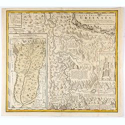
Canton Uri sive Pagus Helvetiae Uriensis cum subditis suis in Valle Lepontina...
Original copper engraving map of Swiss canton Uri. In lower left corner "Valle Leventina Das Liviner Thals, so dem Löblichen Canton Uri eigen gehört" and anot...
Place & Date: Nuremberg, 1768
Selling price: $50
Sold in 2021
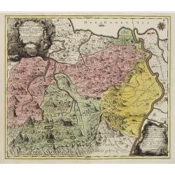
Pagi Basileensis qui pars est reipublicae Helvetiorum..
Detailed map of Basle Canton, centered on Basel and Rheinfelden.With fine title cartouche with panoramic view of Basel and heraldic figures like Neptune's, Mercury, Justi...
Place & Date: Augsburg 1780
Selling price: $380
Sold in 2013
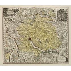
Delineatio Pagi Tigurini ex observationibus recentissimis et accuratissimis : accedit seorsim in tabella dominum Sax et Forsteck.
Detailed map centered on Zurich. With very fine cartouches, upper right 36 coats of arms of cities in the region.Engraved by Tobias C. Lotter.
Place & Date: Augsburg 1780
Selling price: $100
Sold in 2023
Pagi Basileensis qui pars est reipublicae Helvetiorum..
Detailed map of Basle Canton, centred on Basel and Rheinfelden.With fine title cartouche with panoramic view of Basel and heraldic figures like Neptune's, Mercury, Justit...
Place & Date: Augsburg, 1780
Selling price: $140
Sold in 2022
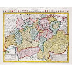
Les Cantons Suisses, leurs Alliés & pays sujets.
Jan Berend Elwe. Amsterdam-based publisher. Published a pocket-atlas of the Netherlands (1786) and Germany (1791). Published in 1792 as a folio-atlas with 37 maps. A re-i...
Place & Date: Amsterdam, 1792
Selling price: $375
Sold in 2009
Carte pétrographique du St. Gothard : cette portion de la chaine centrale des Alpes comprend les Monts St. Gothard. . .
Rare detailed Petrographic map of St. Gothard, showing the central chain of the Alps including the St. Gothard and Fourche mountains, the sources of the Rhône, the Rhin,...
Place & Date: Mechem, 1795
Selling price: $250
Sold in 2021
III. Cours du Rhin où sont les environs de Brisach, Newenburg, Fribourg &c.
Small detailed map illustrating the stretch of the Rhine which flows between Nuremburg and Breisach am Rhein.From Atlas Portatif Universel, by Robert de Vaugondy.Page 34c...
Place & Date: Paris, 1799
Selling price: $20
Sold in 2021
Bern gegen das Ende des dreyzehnten j./ Kriegs-Schauplatz..
Lot of 2 prints showing Bern in ancient times.
Place & Date: Austria 1813/1821
Selling price: $10
Sold in 2008
Karte der Kantone St.Gallen und Appenzell..
Scarce. A splendid map of the Swiss Alps, the area south west of the Boden See and west of the River Rhine, centered on Appenzell, St. Gallen.Prepared by Bernet and drawn...
Place & Date: Zürich/ St.Gallen/ Bern 1840
Selling price: $80
Sold
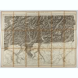
Generalkarte der Schweiz. Blatt IV.
Folding map showing the area from Mainz in the north to Bergamo and Como in the south. The map, engraved by Müllhaupt, is probably part of the 'Topographical Atlas of th...
Place & Date: Bern, 1873
Selling price: $40
Sold in 2023
Generalkarte der Schweiz. Blatt II.
Folding map showing Lake Constance and surroundings. The map, engraved by Müllhaupt, is probably part of the 'Topographical Atlas of the Federal General Staff reduced un...
Place & Date: Bern, 1875
Selling price: $50
Sold in 2021
[Mont-Blanc].
A detailed map cantered on the Mont Blanc and its vicinities published by the very successful St. Petersburg publisher "Cartographic institution A.Ilina".Alexey...
Place & Date: St. Petersburg, 1899
Selling price: $50
Sold in 2022
![[2 maps] Le cours du Rhin de Constance a Bale : en deux feuilles contenant le Fricqthal les Quatre Ville Forrestieres et partie de la Souabe / verifié sur les lieux par l'auteur.](/uploads/cache/17795-250x250.jpg)

![Two maps and a print of Switzerland. [3 items].](/uploads/cache/14381-250x250.jpg)




![[Mont-Blanc].](/uploads/cache/46165-250x250.jpg)