Browse Listings in Europe > Spain > Spain Provinces
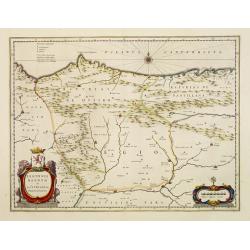
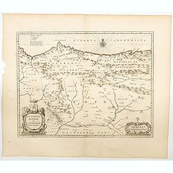
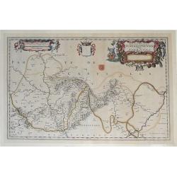
Legionis regnum et Asturiarum principatus.
Decorative map of the Spanish Province Asturias, Castile and Léon, including the towns of Oviedo, Leon, Santander, Valladolid, etc. With two fine title cartouches.
Place & Date: Amsterdam 1640
Selling price: $250
Sold
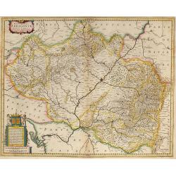
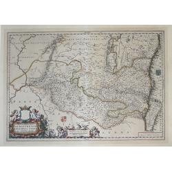
Arragonia Regnum.
Johan Blaeu succeeded his father Willem when the latter died in 1638. Johan led the Blaeu firm to its greatest achievement the ' Atlas Maior' in 12 parts, the greatest an...
Place & Date: Amsterdam, 1640
Selling price: $400
Sold
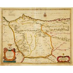
Legionis regnum..
Decorative map of the Spanish Province Asturias, Castile and Léon, including the towns of Oviedo, Leó,n, Santander, Valladolid, etc. With two fine title cartou...
Place & Date: Amsterdam, 1640
Selling price: $250
Sold in 2008
Novissima Arragoniae ?
Shows cities of Saragossa and Pamplona. Dedication to a list of worthies, deputies of the king in Aragon by Henricus Hondius.
Place & Date: Amsterdam, 1640
Selling price: $240
Sold in 2009
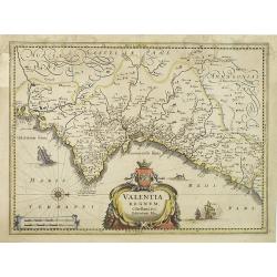
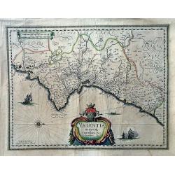
Valentia regnum Contestani, Ptol. Edentani, Plin.
Fine map of the Spanish province of Valencia, with large title cartouche and Dutch vessels offshore.
Place & Date: Amsterdam, 1640
Selling price: $100
Sold in 2023
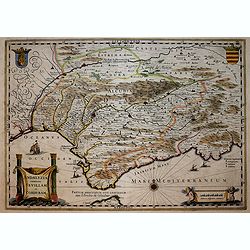
Andaluzia continens Sevillam . . .
ENGLISH TEXT EDITION Showing Gibraltar and the province of Andalusia and the city of Seville. Depicted also are the Straights of Gibraltar, know in classical times as the...
Place & Date: Amsterdam, 1640
Selling price: $400
Sold in 2018
Valentia Regnum; Contestani, Ptol. Edentani, Plin.
A large, very decorative map of Valencia depicting the area from the Cenia River to St. Gines and inland to Murcia and Teruel. The map has many place names with pictorial...
Place & Date: Amsterdam, 1640
Selling price: $152
Sold in 2022
Legionis Regnum et Asturiarum Principatus.
Blaeu's highly decorative map of the Spanish northwestern Provinces of Asturias, Castile and Léon, including the towns of Oviedo, Braganza in Portugal, Laredo, Burgos, ...
Place & Date: Amsterdam, ca 1640
Selling price: $170
Sold in 2023
Legionis regnum et Asturiarum principatus.
Decorative map of the Spanish Province Asturias, Castile and Léon, including the towns of Oviedo, Leòn, Santander, Valladolid, etc. With two fine ti...
Place & Date: Amsterdam 1639-1644
Selling price: $80
Sold
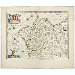
Gallaecia Regnum / descripta a F. Fer. Ojea Ord. praed. et postmodum multis in locis emandata et aucta.
A beautiful map of Galicia in north western Spain, decorated with finely engraved wind roses, sailing boats, a triton [supporter of the God Neptune] as bearer of the titl...
Place & Date: Amsterdam, 1644
Selling price: $200
Sold in 2020
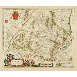
Navarra regnum.
With decorative title cartouche.
Place & Date: Amsterdam, 1645
Selling price: $600
Sold
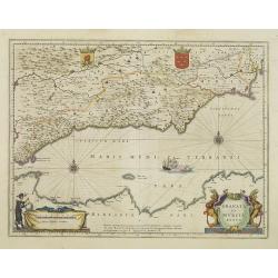
Granata et Murcia Regna.
A fine copy decorated with the Arms of both States and the figure of a surveyor. Extending from the Straits of Gibraltar to Alicante as far inland as the Guadalquivir val...
Place & Date: Amsterdam, 1645
Selling price: $700
Sold in 2013
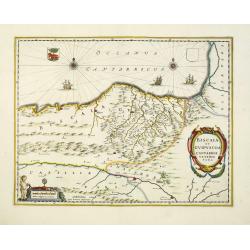
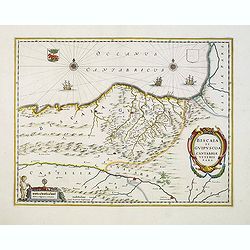
Biscaia et Guipuscoa Cantabriae Veteris Pars.
Janssonius' map of region centered on Bilbao and extending from S. Andero to Calgurris and Baiona. Shows cities of Bilbao and Laredo, and includes a charming vignette of ...
Place & Date: Amsterdam, 1645
Selling price: $200
Sold in 2012
Biscaia et Guipuscoa Cantabriae Veteris Pars.
A nice example of Janssonius map of region centered on Bilbao and extending from S. Andero to Calgurris and Baiona. Shows cities of Bilbao and Laredo, and includes a char...
Place & Date: Amsterdam, 1645
Selling price: $200
Sold in 2020
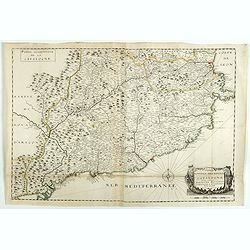
Nouvelle description de la principauté de Catalogne et des comtéz de Barcelone, Roussillon, Cerdagne et d'Ampurias. . .
A separately published and very rare two sheet map of Catalonia in original outline colors and compass rose.Apparently another recorded example of the map in Volume XV of...
Place & Date: Paris, 1645
Selling price: $1500
Sold in 2018
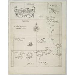
Carta particolare che comincia con il capo di Oringan in Biscaia è Finisce con la costa di Alcason In Francia . . . di Europa Carta XXIII.
First state of Dudley's magnificent chart showing the Bay of Biscay. Include sailing ships, compass card, notes on prevailing winds and currents and more stylized calligr...
Place & Date: Florence, 1646
Selling price: $2600
Sold in 2009
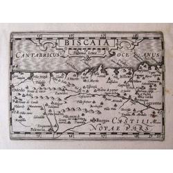
BISCAIA.
Detailed miniature map of Biscay, including Oviedo, Palencia, Burgos, Santander, Bilbao, Logroño...From Visschers reissue of the "Caert-Thresoor": "Tabula...
Place & Date: Amsterdam, 1649
Selling price: $120
Sold in 2014
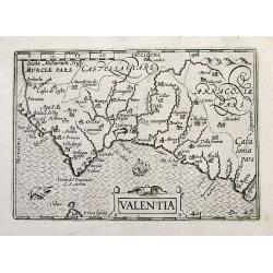
Valentia.
Detailed miniature map of South-East Spain. Includes Alicante, Valencia, and a tip of Ibiza. With a small sailing ship and a sea-monster.From Visschers reissue of the Cae...
Place & Date: Amsterdam, ca. 1649
Selling price: $90
Sold in 2019
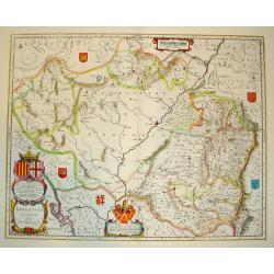
ARRAGONIA REGNUM
A highly decorative map of the historically significant Spanish province of Arragon. Features two elaborate cartouches and several coats of arms, identifying surrounding ...
Place & Date: Amsterdan, c. 1650
Selling price: $150
Sold
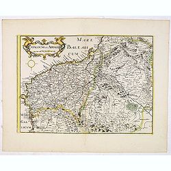
.Catalogne et Arragon.
Early imprint of this fine map of Catalonia. With decorative cartouches for the title and scale. Included in " Theatre geographique de France contenant les cartes pa...
Place & Date: Paris, 1650
Selling price: $300
Sold in 2016
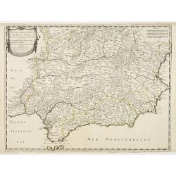
Les Etats de la couronne de Castille.. Andalousie..
Map of Andalusia, with original or early outline hand-color. Numerous place-names of counties, cities, towns, physical features. Prepared by N.Sanson and engraved by Somm...
Place & Date: Paris 1652
Selling price: $240
Sold
Les Etats de la couronne de Castille.. Andalousie..
Map of Andalusia, with original or early outline hand-color. Numerous place-names of counties, cities, towns, physical features. Prepared by N.Sanson.
Place & Date: Paris, 1652
Selling price: $75
Sold in 2021
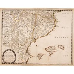
Les Etats de la couronne d'Arragon en Espagne..
"Fine map of Aragon, including Majorca, Minorca and Ibiza.This edition carries the date 1653.Nicolas Sanson was to bring about the rise of French cartography, althou...
Place & Date: Paris 1653
Selling price: $350
Sold
Pascaart van de Zee Kusten van Granada en Murcia..
Decorative and uncommon chart including the African and the Spanish coast. In top four insets of Almay, Buzema, Zasarinos Islands and Cartagena. A fifth large inset cover...
Place & Date: Amsterdam, 1661
Selling price: $900
Sold in 2010
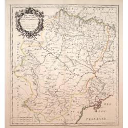
Royaume d'Arragon divisé, en sept dioeceses..
Map of Aragon, with original or early outline hand-color. Numerous place-names of counties, cities, towns, physical features. Prepared by N.Sanson.
Place & Date: Paris, 1663
Selling price: $200
Sold in 2009
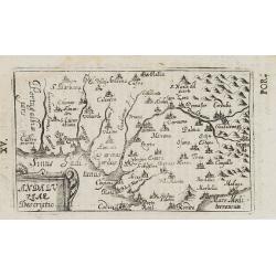
Andaluziae descriptio.
Charming little map of Andalusia made by Gabriel Bucelin (1599-1681). Bucelin was a Swiss genealogist and an author of several books and a number of manuscript maps of Ge...
Place & Date: Ulm, Johannes Görlin, 1658-1664
Selling price: $50
Sold in 2008
Episcopatus Turiassonensis Vulgo Tarracona. . .
Beautiful map of the Catalonia and Aragon region of northeastern Spain by Joan Blaeu. Shows the cities of Daroca, Calatajud, Borja, and Tarragona, along with the mountain...
Place & Date: Amsterdam, 1664
Selling price: $155
Sold in 2010
Episcopatus Balbastrensis, Ribagorca Comit. Et Sobrarbe. . .
Beautiful map of the Aragon and Catalonia regions of northeastern Spain, along the southern French border by Joan Blaeu. Shows the cities of Huesca and Lerida, along with...
Place & Date: Amsterdam, 1664
Selling price: $175
Sold in 2010
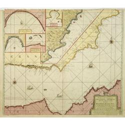
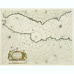
De Zee Custen van Hispanien Van Gibraltar tot Caep S. Martin, als mede van Barbarien Van Seute tot C. de Tenes.
Fine of the Strait of Gibraltar and the westernmost Mediterranean. Large title cartouche featuring two seamen using navigation instruments. Rhumb lines and two compass r...
Place & Date: Amsterdam, 1669
Selling price: $190
Sold in 2011
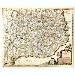
Cataloniae principatus nec non Ruscinonensis..
Map of the Spanish region of Catalonia with the Mediterranean coast line from the French border via Barcelona to Tortosa.. With decorative title cartouche.
Place & Date: Amsterdam 1680
Selling price: $485
Sold
Principatus Cataloniae et Comitatus Ruscinonis et Cerretaniae descriptio
Follows the Mediterranean Coast from Alfactus and Tortosa to the Gulf of Lyon and Leucate. Including Barcelona, Gascogne and Balbastro. Barcelona. The map shows a Catalan...
Place & Date: Amsterdam, 1680
Selling price: $450
Sold in 2014
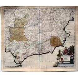
Regnorum Castellae, Novae, Andalujsae, Granadae, Valentae, et Murciae Accurata Tabula, in Episcopatus etc. divisa edita par Fredericum De Wit...
A very decorative, large, and accurate map of Southern Spain. It extends from Salamanca and Segovia in the north to the Gulfs of Valentia, Alicante and Cartgena in the ea...
Place & Date: Amsterdam, 1680
Selling price: $224
Sold in 2023
Nieuwe Pascaart waar in vertoont wert de Baij van Cadix In't groot.
An important sea-chart of the coast and island of Cadiz. With plate number 30 in lower right corner. Large title cartouche, with title in Dutch and French and a dedicatio...
Place & Date: Amsterdam, 1685
Selling price: $550
Sold
Insulae Canariae alias Fortunatae
A 17th century copper-engraved map (nautical chart) of the Canary Islands and Madeira, from a French edition of Olfert Dapper's ´Naukeurige Beschrijvinge der Afrikaensch...
Place & Date: Amsterdam, 1686
Selling price: $220
Sold in 2023
Novissima Arragoniae regni tabula.
Shows cities of Saragossa and Pamplona.
Place & Date: Amsterdam, 1690
Selling price: $350
Sold in 2010
GALLAECIA REGNUM, descripta a F. Fer.
Beautiful double-page copper engraved map of Galicia. By Valk and Schenk after Ferdinand Ajea. Extending from the Asturias de Oviedo region and Aviles in the Northeast to...
Place & Date: Amsterdam, ca. 1690
Selling price: $400
Sold in 2011
Regni Navarrae. . .
Centred on Pamplona. Orientated west to the top.
Place & Date: Amsterdam, 1690
Selling price: $160
Sold in 2018
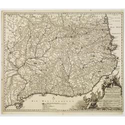
[6 sheets] Principaute De Catalogne. Ou sont compris Les Comtes de Roussillon et de Cerdagne divises en leurs Vigueries (Map and 5 sheets, with 32 additional Catalan Cities Plans and Table of Names,rare complete set in first edition!)
Principaute De Catalogne. Ou sont compris Les Comtes de Roussillon et de Cerdagne divises en leurs Vigueries. A striking large and highly detailed map of Catalonia, with ...
Place & Date: Paris, 1692
Selling price: $1300
Sold in 2020
Die Süd-West Cüste von Gallicien.
Very decorative map from Bodenehr's "Atlas curieux" published in Augsburg. The detailed map shows the area around Vigo in Gallicia in north-west Spain and inclu...
Place & Date: Augsburg, c1704
Selling price: $95
Sold
Royaume de Galice province d''Espagne. / Port et rade de Vigo.
Copper engraving by G. Inselin for Nicolas De Fer (1646-1720). Map is dated 1705. Three maps on one sheet. The left map reaches as far south as Caminha on the Miño river...
Place & Date: Paris, 1705
Selling price: $230
Sold in 2008
Principaute de Catalogne
A simply engraved map of the Spanish region of Catalonia depicting the Mediterranean coastline from the French border near Cadaques, southwest through Barcelona to the de...
Place & Date: Paris, 1705
Selling price: $140
Sold in 2009
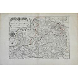
La Castille Vieiele et Nouvelle L'Estramadura De Castille Et De Leon. . .
Beautiful, detailed map of the Leon and Castille regions of Spain by Nicholas de Fer. The cities of Madrid and Toledo are depicted, as well as the mountains, forests, riv...
Place & Date: Paris, 1706
Selling price: $105
Sold in 2010
La Catalogne Dédiée au Roy..
A scarce map of Catalonia showing the coastline from Perpignan until the province of Valencia. Extensive shipping and a large title cartouche.Published by Mademoiselle Du...
Place & Date: Paris, 1707
Selling price: $1750
Sold
Pascaart van de Zee Kusten van Granada en Murcia.. Barbarische Zee-Kusten..
This sea chart covers the Spanish coast from Véléz-Malaga, in the region Andalucía, from Malaga as far as Alicante and Bay of Altea, in the province of Valencia. It sh...
Place & Date: Amsterdam, 1708
Selling price: $800
Sold
Paskaart van de Zee-kusten van Valence Catalonien Languedocq. . .
Fine sea chart showing the coast of Valencia, Catalonia, Languedoc, and Provence, and the islands of Majorca, Minorca and Ibiza.Title flanked by figures, topped by inset ...
Place & Date: Amsterdam, c.1710
Selling price: $700
Sold in 2013
Principatus Cataloniae nec non Comitatum. . .
Detailed map centered on Catalonia. Lower right splendid title cartouche.Maps published in Germany during the 18th century are usually in body colors, with uncolored cart...
Place & Date: Nurenberg, 1710
Selling price: $200
Sold in 2016
Gallaecia Regnum.
Fine map of part of Spain.
Place & Date: Amsterdam, 1720
Selling price: $430
Sold
Carte généalogique des rois de Navarre de Castille d'Arragon de Portugal et de Grenade, rangée en parallele avec la carte d'Espagne qui distingue les diverses situations de leurs états, leurs armes et alliances.
Interesting sheet with a map of Spain and Portugal and a genealogical tree of the kings of Castile and Navarre, with descriptive French text, from Chatelain's monumental ...
Place & Date: Amsterdam, 1720
Selling price: $50
Sold in 2014
Nieuwe Paskaart van t Naauw van de Straat. . . F.van Aerssen van Sommelsdyk, de plaat bommel en Spyk. . . Hendrik Lynslager. . . 1726.
Chart of the entrance of the Mediterranean overlooking the Strait of Gibraltar. Based on the charts by Hendrik Lynslager, a Dutch navigator, this interesting sea chart de...
Place & Date: Amsterdam, ca. 1727
Selling price: $900
Sold in 2013
Suite des Costes d?Espagne et Barbarie.
A chart showing the coast of Spain from Cartagena to Denia with Ibiza and Formentera and the coast of North Africa With 4 insets with coastal details and decorated with t...
Place & Date: Paris, 1727-1730
Selling price: $300
Sold
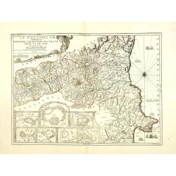
Le Roussillon Subdivisé en Cerdagne, Cap Sir, Conflans, Vals de Carol et de Spir ou se trouve encore le Lampourdan, Faisant Partie de la Catalogne.
Striking map of the region including part of the southeastern French Mediterranean coastline and neighboring Catalonia.This very decorative map includes in the lower left...
Place & Date: Paris, 1730
Selling price: $750
Sold
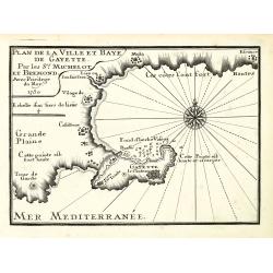
Plan de la Ville et Baye de Gayette.
An attractive chart centered on the Mediterranean. With scale and large compass-rose. Dated 1727, with the privilege of the King. From : Recueil des Plusieurs plans des p...
Place & Date: Marseille, 1730
Selling price: $200
Sold in 2013
Plan de la Baye et Citadelle de Rose et de Tourrille.
An attractive chart centered on Tourrille and Roses in Catalonia. With scale and large compass-rose. Dated 1727, with the privilege of the King. From : Recueil des Plusie...
Place & Date: Marseille, 1730
Selling price: $180
Sold in 2010
Partie de l'isle d'Yvice, et des isles fromentières.
An attractive chart centered on the south coasts of Ibiza and the Island of Formentera. With scale and large compass-rose. Dated 1730, with the privilege of the King. Fro...
Place & Date: Marseille, 1730
Selling price: $300
Sold
Plan de la Baye et Rades du Sofa.
An attractive chart centered on the Mediterranean. With scale and large compass-rose. Dated 1727, with the privilege of the King. From : Recueil des Plusieurs plans des p...
Place & Date: Marseille, 1730
Selling price: $60
Sold in 2022
Cataloniae principatus et Ruscionis ae Cerretaniae Comitatuum. . .
Decorative map of Catalonia in southern Spain with a large title cartouche with cherubs and coats of arms.A second state.
Place & Date: Augsburg, 1730
Selling price: $300
Sold in 2012
Accurata Designatio Celebris Freti prope Andalusiae Castellum Gibraltar...
Very decorative large-scale map of southern Spain. Shows the area from Cadiz and Jerez to Malaga and Motril in great detail. Includes two inset maps of Minorca and Ceuta,...
Place & Date: Augsburg, 1730
Selling price: $230
Sold in 2016
Carte nouvelle de L'ISLE de CADIX & du Detroit de GIBRALTAR.
A decorative map centered on the Strait of Gibraltar. With an inset plan of Gibraltar, decorative title cartouche and four vessels.
Place & Date: Nuremberg, 1730
Selling price: $170
Sold in 2019
Plan de la baye et ville de Cadis, de la rivière de St. Lucas de Barameda, de ses environs.
Beautiful map of the city and bay of Cadiz, engraved by Le Tellier in 1734. Decorated with a title cartridge and several vignettes representing the forts and batteries of...
Place & Date: Paris, 1734
Selling price: $300
Sold in 2017
Plan of the Camp of Tarragona.
Interesting battle plan. The cartouche features Neptune and sea serpents and there are three detailed ships at sea. Nicholas Tindal (1687-1774) / Paul de Rapin (1661-172...
Place & Date: London, 1740
Selling price: $28
Sold in 2016
Accurata Designatio Celebris Freti prope Andalusiae Castellum Gibraltar, inter in Europam et Africam, eum circumjacentibus... Portubus, et Castellis cura et impensis. . .
An attractive map by Mattheus Seutter, showing Gibraltar in great detail. With an impressive military style title cartouche, and five beautifully engraved insets of the i...
Place & Date: Augsburg, 1740
Selling price: $220
Sold in 2017
Plan of the Camp of Tarragona.
Copper engraved map of the Battle of Tarragona in Spain. Slendid cartouche with Neptune and two sea maonsters and with three detailed ships in the harbour. Paul de Rapin...
Place & Date: London, 1743
Selling price: $49
Sold in 2014
Plan of the Town and Castle of Lerida.
A striking plan of the siege of Lerida by the Bourbon forces under the Duke of Orleans, showing the siege of the town, fortifications, etc. A numbered and lettered key di...
Place & Date: London, 1745
Selling price: $93
Sold in 2019
Plan de la Baye de Rose et des Côtes des environs de puis le port de Cadequié jusques au Cap St. Sebastien..
Coastal chart illustrating part of the Spanish Catalan country seacoast. It covers the area from south of Begur to today Cadaqués, close to the French border.From the ra...
Place & Date: Marseille, 1732 - 1746
Selling price: $175
Sold
[5 charts of Spanish coasts and harbours.] Plan du Port et Rade ... Jacques Ayrouard
A set of 5 coastal charts from the rare chart book by Jacques Ayrouard: Recueil de plusieurs Ports ... de la Mer Mediterranie.Plan du Port et Rade de Palamos en Catalogne...
Place & Date: 1732-1746
Selling price: $750
Sold
Plan du Passage du Fort Brescon - Plan de la Rade de..
Four charts on one plate : Plan du Passage du Fort Brescon.. - Plan de la Rade de Peniscola en Valence.- Plan de la Rade de Carpi en Valence.- Plan de la Rade de Benidorm...
Place & Date: 1732-1746
Selling price: $100
Sold
Plan de la Baye de Rose et des Côtes des environs de puis le port de Cadequié jusques au Cap St. Sebastien..
Uncommon chart illustrating part of the Spanish Catalan country seacoast. It covers the area from south of Begur to today Cadaqués, close to the French border.From the r...
Place & Date: Marseille 1732 -1746
Selling price: $425
Sold
[Untitled Front views of the coastal relief of the Gulf of Valencia as far as Catalonia]
Copper engraving presenting separate front views of the southeastern coastal relief of Spain divided in stripes.Covering the area which extends from the Gulf of Valencia ...
Place & Date: Marseille 1732 - 1746
Selling price: $40
Sold
[Untitled] Front views of the Spanish coastal relief.
Separate front views mainly depicting the coastal relief of Catalonia, divided in stripes.From the rare book by Jacques Ayrouard: Recueil de plusieurs Ports .. de la Mer...
Place & Date: Marseille 1732 - 1746
Selling price: $155
Sold
[Untitled] Front views of the Spanish coastal relief.
Separate front views depicting great part of the Mediterranean coast of Spain, including Brescon, divided in stripes.It covers the littoral zone between Peñíscola and G...
Place & Date: Marseille, 1732 - 1746
Selling price: $120
Sold in 2010
Partie Septentrionale des Etats de Castille où se trouve le Royaume de Gallice..
Detailed map of Galicia, in the northwestern tip of the Iberian Peninsula. From Atlas Portatif Universel, by Robert de Vaugondy.Page 43 outside border top left. Mary Spon...
Place & Date: Paris, later than 1748
Selling price: $105
Sold
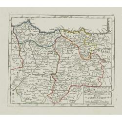
Partie Sept.le des Etats de Castille où se trouvent les Roy.mes des Asturies.. Biscaye.
Small detailed map of Northwestern Spain, including Asturias, León, Old Castille, New Castille and Biscaya. Extends southwards as far as Madrid.From Atlas Portatif Unive...
Place & Date: Paris, later than 1749
Selling price: $20
Sold in 2023
Partie Meridionale des Etats de Castille où se trouvent l'Andalousie et le Roy.me de Grenade.
Small detailed map of Andalusia. From Atlas Portatif Universel, by Robert de Vaugondy.Page 47 outside border top left. Mary Sponberg Pedley does not mention a state witho...
Place & Date: Paris, later than 1749
Selling price: $40
Sold in 2017
Partie Meridion.le des Etats de Castille, où se trouvent l'Estremadure-de-Leon et la Castille Nouvelle.
Small detailed map of Extremadura and New Castile. From Atlas Portatif Universel, by Robert de Vaugondy.Page 45 outside border top left. Mary Sponberg Pedley does not men...
Place & Date: Paris, later than 1749
Selling price: $120
Sold in 2011
Royaume de Navarre divisé en six Mérindades.
Small detailed map of Navarre. From Atlas Portatif Universel, by Robert de Vaugondy.Page 46 outside border top right. Mary Sponberg Pedley does not mention a state withou...
Place & Date: Paris, later than 1749
Selling price: $120
Sold in 2010
Partie Méridionale de la Couronne d'Aragon.. R.mes de Valence, de Maiorque et de Murcie..
RARE. Small detailed map encompassing the Valencian Community, the region of Murcia and the Balearic Islands.From Atlas Portatif Universel, by Robert de Vaugondy. Page 4 ...
Place & Date: Paris, later than 1749
Selling price: $220
Sold in 2010
Partie Septent.le de la Couronne d'Aragon où se trouvent le Roy.me d'Aragon.. Catalogne.
Small detailed map of Aragon and Catalonia. From Atlas Portatif Universel, by Robert de Vaugondy.Page 47 outside border top left. Mary Sponberg Pedley does not mention a ...
Place & Date: Paris, later than 1749
Selling price: $85
Sold
Partie septentrionale de la Couronne de Castille
Detailed map of the north-western part of Spain. Also depicting a small part of southern France.
Place & Date: Paris 1750
Selling price: $112
Sold
Etats de la Couronne d'Aragon?
Detailed map of a province of Spain. Numerous place-names of counties, cities, towns, physical features.
Place & Date: Paris, c.1750
Selling price: $100
Sold
Nieuwe Generale Paskaart van de Bocht van Vrankryk Biscaia en Gallissia tussen I. de Ouessant en C. de Finisterre.
Rare of the Gulf of Biscay including all the south-west coast of France from Brest to the south and continuing along the Spanish coast, including Bilbao, until Ferrol. I...
Place & Date: Amsterdam, ca. 1750
Selling price: $1150
Sold in 2011





![[6 sheets] Principaute De Catalogne. Ou sont compris Les Comtes de Roussillon et de Cerdagne divises en leurs Vigueries (Map and 5 sheets, with 32 additional Catalan Cities Plans and Table of Names,rare complete set in first edition!)](/uploads/cache/84497-250x250.jpg)






![[5 charts of Spanish coasts and harbours.] Plan du Port et Rade ... Jacques Ayrouard](/uploads/cache/23140-250x250.jpg)


![[Untitled Front views of the coastal relief of the Gulf of Valencia as far as Catalonia]](/uploads/cache/23947-250x250.jpg)
![[Untitled] Front views of the Spanish coastal relief.](/uploads/cache/24838-250x250.jpg)
![[Untitled] Front views of the Spanish coastal relief.](/uploads/cache/28217-250x250.jpg)

