Browse Listings in Europe > Spain > Spain General Maps
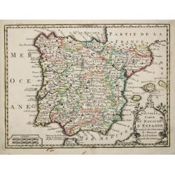
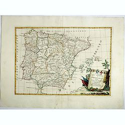
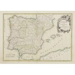
La Espana Dedicata all Ill Ed Ecc Sig. D. Carmine Niccolo Caracciolo. . .
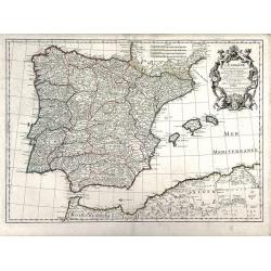
Rare map of Spain and Portugal. Engraved by Andrea Magliar and published by Paolo Petrini. Based on a map of Nicholas De Fer.This is the first edition of the map, which i...
Place & Date: Naples, 1700
Selling price: $450
Sold in 2013
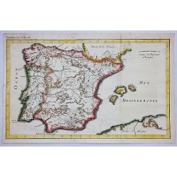
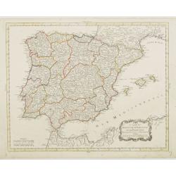
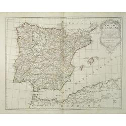
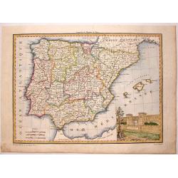
L'Espagne.
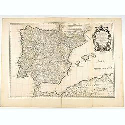
Beautiful map showing Spain and Portugal, the different Provinces ( Castille, Aragon, Andalousia..) and the North African coast. Decorative title cartouche.
Place & Date: Paris, 1701
Selling price: $160
Sold
L'Espagne, dresse fur la Description qui en a ete faite par Rodrigo Mendez Sylva. . .
Finely detailed map Spain by Guillaume de L'Isle. Shows cities, villages, mountains and rivers. Also shown are the islands of Minorca, Mallorca and Ibiza and well as the ...
Place & Date: Paris, 1701
Selling price: $85
Sold in 2010
Espagne et Portugal.
Small scale, detailed map of Portugal and Spain by French cartographer Nicholas de Fer. A decorative title cartouche is at the top right, and a small distance key is at t...
Place & Date: Paris, 1701
Selling price: $110
Sold in 2010
L'Espagne . . .
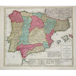
Detailed map showing Spain and Portugal, the different Provinces ( Castille, Aragon, Andalousia..) and the North African coast. Decorative title cartouche.The rare Amster...
Place & Date: Amsterdam, ca. 1701
Selling price: $50
Sold in 2022
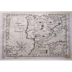
[Lot of 5 maps of the Iberian peninsula / Belearics]
Guillaume de l' Isle (1675-1724), Royal Geographer, was the most influential cartographer of the first quarter of the 18th century. ' Atlas de Géographie' (1700-12), pos...
Place & Date: 1701
Selling price: $210
Sold in 2022
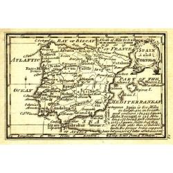
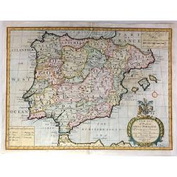
A New Map of Present Spain & Portugal, Shewing Their Principal Divisions, Chief Cities, Townes, Ports, Rivers, Mountains & c. Dedicated to his Highness, William, Duke of Gloucester
Drawn by Edward Wells and engraved by R. Spofforth. An attractive and decorative early map of Spain & Portugal from the beginning of the 18th Century.This map was pa...
Place & Date: London, 1704
Selling price: $85
Sold in 2015
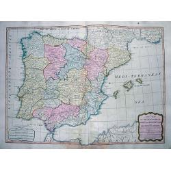
L'Espagne divisée en tous ses royaumes et Principautés. . .et sous la couronne de Portugal. . .
Very large map of Spain and Portugal, including the Balearic Islands Majorca, Minorca and Ibiza, ornated with a rococo title cartouche. A first state, without with lines ...
Place & Date: Amsterdam, c.1705
Selling price: $620
Sold in 2011
Reys-Weg uit Brabant?Spanje en Portugal.
Pieter van der Aa was a prolific publisher. He published a.o. ' Naauwkeurge versameling der gedenkwaardigste zee- en land-reysen', a series of accounts of voyages (1706-0...
Place & Date: Leiden, 1707
Selling price: $120
Sold in 2016
Theatre de la Guerre en Espange et en Portugal. . . Presenté à Philippe V Roy d'Espagne, et de Indes. . . [four sheets]
The map is exceptionally detailed, but the most remarkable feature of the engraving is the enormous, superbly detailed and designed title-piece. A dedication to Philip V ...
Place & Date: Amsterdam, 1710
Selling price: $4600
Sold in 2009
Tabula totius Hispaniae.
Scarce map extending from Madeira and Lanzarote, to the border of France. Published in Montecalerio's "Chorographica descriptio Provinciarum et Conventuum Fratrum mi...
Place & Date: Rome, 1643-1712
Selling price: $160
Sold in 2016
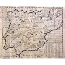
Carte Historique Et Geographique Des Royaumes D Espagne Et De Portugal Divises Selon Leurs Royaume et Provinces
Very detailed map of Spain and Portugal. Coats of arms and substantial details throughout the regions are delineated.From Chatelain's monumental Atlas Historique (in 7 vo...
Place & Date: Amsterdam, 1719
Selling price: $110
Sold in 2014
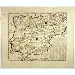
Carte Historique et Geographique des Royaumes d'Espagne et de Portugal..
Historical and geographical map of the kingdoms of Spain and Portugal divided according to their kingdoms and provinces. Including indexes, notes and an inset map of the ...
Place & Date: Amsterdam, ca. 1720
Selling price: $140
Sold
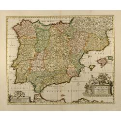
Hispaniae et Portugalliae regna per Nicolaum Visscher
Outstanding example of an Iberian peninsula map showing Spain and Portugal and Balearic Islands. Two beautiful cartouches with several putti and coat of arms. Published b...
Place & Date: Amsterdam, 1720
Selling price: $250
Sold in 2009
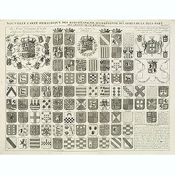
Nouvelle carte héraldique des rois d'Espagne accompagnée des armes . . .
Decorative sheet with coats of arms of Spanish and Portuguese Kings and noble families. This impressive engraving is a wonderful example of Chatelain’s elegant plates f...
Place & Date: Amsterdam, ca. 1720
Selling price: $30
Sold in 2012
Hispania ex Archetypo Roderici Mendez Sylvae.
Striking copperplate map of Spain & Portugal. Decorative allegorical cartouche with an older man's head and two white horses. The Lotter family were engravers and pub...
Place & Date: Augsburg, 1720
Selling price: $171
Sold in 2014
Carte Historique et Geographique des Royaumes d'Espagne et de Portugal..
Historical and geographical map of the kingdoms of Spain and Portugal divided according to their kingdoms and provinces. Including indexes, notes and an inset map of the ...
Place & Date: Amsterdam, ca. 1720
Selling price: $101
Sold in 2018
Carte généalogique des rois de Navarre de Castille d'Arragon de Portugal et de Grenade, rangée en parallele avec la carte d'Espagne qui distingue les diverses situations de leurs états, leurs armes et alliances.
Interesting sheet with a map of Spain and Portugal and a genealogical tree of the kings of Castile and Navarre, with descriptive French text, from Chatelain's monumental ...
Place & Date: Amsterdam, 1720
Selling price: $55
Sold in 2019
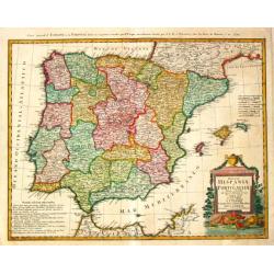
[Spain & Portugal] Hispania ex Archetypo Roderici Mendez Sylvae et variis Relationibus et Chartis manuscriptis et impressis huius Regni rectificatis per Observationes Sociorum Academiae Scientiarum quae est Parisiis.
Engraved map with original hand coloring 49.5 x 57 cm. (sheet size 53 x 62 cm.).
Place & Date: Augsburg, 1720
Selling price: $210
Sold in 2020
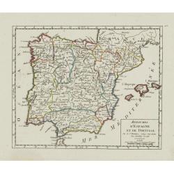
Espagne.
A nice little map of Spain,
Place & Date: Amsterdam, 1721
Selling price: $90
Sold
Regni Hispaniae Delineatio.
Uncommon map of Spain. The originally colored title cartouche is surrounded by mythological figures. From Atlas Portatif.
Place & Date: Nuremberg 1724
Selling price: $55
Sold
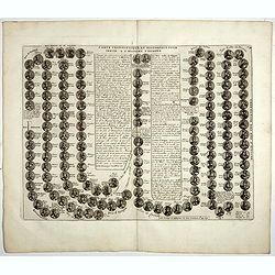
Carte cronologique et Historique pour servir a l'histoire d'Espagne.
This impressive engraving is a wonderful example of Chatelain’s elegant plates showing a genealogical chart and portraits of the kings of Spain and Portugal, from 406AD...
Place & Date: Amsterdam, 1728
Selling price: $50
Sold in 2018
Carte du Royaume d'Espagne.
A striking map of Spain and Portugal. It is from METHODE POUR ETUDIER L’HISTOIRE by L’Abbe Lenglet du Fresnoy, published in Paris in 1729. The map is quite rare and i...
Place & Date: Paris, 1729
Selling price: $65
Sold in 2020
Regnorum Hispaniae et Portugalliae tabula Generailis..
Fine map of Spain and Portugal, including Majorca and Minorca. Exceptionally detailed, but the most remarkable feature of the engraving is the large title-piece showing a...
Place & Date: Nuremberg 1730
Selling price: $350
Sold
Nova Regni Hispaniae accurata descriptio ad u sum serenissimi Burgundiae ducis.
Prepared by G.de L'Isle.The Amsterdam publishing firm of Covens and Mortier (1721 – c. 1862) was the successor to the extensive publishing empire build by Frenchman Pie...
Place & Date: Amsterdam, 1730
Selling price: $210
Sold in 2010
A New Map of Present Spain & Portugal
Decorative colored map of Spain and Portugal with parts of France, the northern part of Africa and the Balearic Islands. From "A New Sett of Maps both of Antient an...
Place & Date: London, 1738
Selling price: $350
Sold in 2012
St. Sebastian. A strong fortified town of Guiapuscoa laying at the bottom of the Bay of Biscay
A very rare plan of San Sebastian in Spain by W.H. TomsThis copper engraved plan of San Sebastian was drawn by G. S. Baudwin and sold, engraved and published by W. H. Tom...
Place & Date: London, 1740
Selling price: $1550
Sold in 2010
Nieuwe Kaart van Portugal en Spanjen.
A small map of the Iberian peninsula.
Place & Date: Amsterdam/ Deventer, 1742
Selling price: $50
Sold
Nieuwe Kaart van Portugal en Spanjen.
Attractive and uncommon map of Spain and Portugal. From Atlas Portatif . RARE.
Place & Date: Amsterdam/ Deventer, 1742
Selling price: $90
Sold in 2008
A New & Accurate Map of Spain & Portugal Drawn from the latest Surveys & most approved Maps & Charts The whole being adjusted by Astron Observations. By Emanuel Bowen
A fine Emanuel Bowen map of Spain and Portugal with two inset plans – ‘The Harbour of Port Mahon’ and ‘A Chart of the Straits of Gibraltar, with the Coast of Spai...
Place & Date: London, 1747
Selling price: $75
Sold in 2017
Antient Spain.
A nice map of Ancient Spain, published in "An Universal History from the Earliest Account of Time to the Present". It shows Spain in Roman times, with Latin spe...
Place & Date: London, 1747
Selling price: $35
Sold in 2019
Royaumes d'Espagne et de Portugal.
Detailed map of Spain, Portugal and Baleares islands. Showing also south part of France and Gibraltar. Dated 1748.From Atlas Portatif Universel, by Robert de Vaugondy.Pag...
Place & Date: Paris, ca. 1748
Selling price: $20
Sold in 2023
Hispania Antiqua.
Map of ancient Spain and Portugal. Engraved by G. Delahaye.
Place & Date: Paris, 1750
Selling price: $30
Sold
Hispania Antiqua.
Map of ancient Spain and Portugal. Engraved by G. Delahaye. From his "Atlas Universel".Gilles Robert de Vaugondy (1688–1766), also known as Le Sieur or Monsie...
Place & Date: Paris, 1750
Selling price: $30
Sold in 2015
Regnorum Hispaniae et Portugalliae. . .
A beautifully detailed map of Spain and Portugal by Homann. It offers excellent detail of the Iberian Peninsula and the Balearic Islands, plus parts of southwestern Franc...
Place & Date: Nuremberg, ca 1750
Selling price: $66
Sold in 2021
Royaumes d'Espagne et de Portugal.
Detailed map of Spain, Portugal and Baleares islands. Showing also south part of Franc and north Africa from his "Atlas Universel".Gilles Robert de Vaugondy (16...
Place & Date: Paris, 1752
Selling price: $60
Sold in 2015
Spain and Portugal.
A small interesting copper engraved map of the Iberian peninsula. It names many towns, rivers, and includes the Balearic Islands. Extends to show also Tanger and Ceuta.De...
Place & Date: London, ca 1754
Selling price: $32
Sold in 2018
L' Espagne Suivant les Nouvelles Observations.
Fine map of Spain and Portugal with decorative title cartouche. With date 1743 added in manuscript.George Louis Le Rouge was active from 1740- till 1780 as a publisher, a...
Place & Date: Paris 1756
Selling price: $60
Sold
L'Espagne divisée en ses Royaumes et .. avac le Royaumes de Portugal.
RARE map of Spain and Portugal prepared by J.B.Nolin and published by Daumont. A visually stunning map with a large title cartouche. To the left and right text boxes with...
Place & Date: Paris 1757
Selling price: $250
Sold
Carte des Royaumes d'Espagne et de Portugal.
Detailed map of Spain, Portugal and Baleares islands. Showing also southwestern part of France and north Africa from his "Atlas Universel".Gilles Robert de Vaug...
Place & Date: Paris, 1757
Selling price: $30
Sold in 2019
LOS REYNOS DE ESPANA Y PORTUGAL...
A nice example of Gendron's map of the Iberian Peninsula. As most 18th Century maps published in Spain, which are based upon non-Spanish sources, are based upon French so...
Place & Date: Madrid, 1757
Selling price: $200
Sold in 2021
A New and Accurate Map of the Kingdoms of Spain, Portugal and Part of France, The Islands of Majorca, Minorca &c.
Poduced for “Universal Magazine” by J. Hinton. It was engraved by Richard William Seale (1703-1762). The map features an attractive rococo cartouche and compass rose...
Place & Date: London, ca. 1760
Selling price: $115
Sold in 2018
Royaumes d'Espagne et de Portugal.
Detailed map of Spain, Portugal and Baleares islands. Showing also southwestern part of France and north Africa.
Place & Date: Paris, 1762
Selling price: $40
Sold
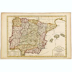
Carte d'Espagne, Dirigée par Mr. Philippe..
Detailed map of the Hibernian Peninsula and Baleares islands, showing a short legend in the lower left corner.
Place & Date: Paris, 1763
Selling price: $30
Sold
Nouvelle Carte du Royaume d' Espagne.
Attractive small map of the Iberian peninsula.
Place & Date: Paris, c. 1770
Selling price: $70
Sold
Carte d'Espagne. . .
Map of Spain and Portugal engraved by J.E.J. Vallet.
Place & Date: Paris, ca. 1773
Selling price: $50
Sold in 2015
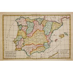
Le Royaume d'Espagne et celui de Portugal.
Rigobert Bonne (1727-1795), French cartographer. His maps are found in a.o. Atlas Moderne (1762), Raynal's Histoire Philos. du Commerce des Indes (1774) and Atlas Encyclo...
Place & Date: Paris, 1774
Selling price: $80
Sold
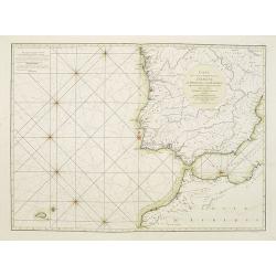
Carte des Côtes occidentales d'Espagne de Portugal et de Barbarie.
Rare French of Spain, Portugal, Gibraltar and part of Morocco. Prepared by Jacques-François L'Abbé Dicquemare (1733-1789). Latitude and longitude scales, compass rose ...
Place & Date: Paris, ca. 1775
Selling price: $150
Sold in 2015
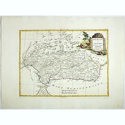
Andalusia e Granada.
Fine map of Southern Spain with the cities of Seville, Granada and Malaga, including Strait of Gibraltar. Shows administrative boundaries, major cities, villages, rivers ...
Place & Date: Venise, 1775
Selling price: $50
Sold in 2017
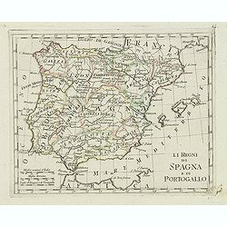
Li Regrni di Spagna E Portogallo . . .
Map of Spain and Portugal from "Atlas Novissimo" printed in Venice between 1776 and 1785. The map was issued in Zatta's Atlas Novissimo a monumental four volume...
Place & Date: Venice, 1775
Selling price: $50
Sold in 2017
Imperii Romani Pars Occidentalis. Hispania. L'Espagne..
Detailed map of the Hibernian Peninsula and Baleares islands, showing also southwestern part of France.Decorative title cartouche in the lower right corner.
Place & Date: Paris, ca 1780
Selling price: $45
Sold
Carte des Royaumes d' Espagne et de Portugal divisés par . . .
A detailed map of Spain and Portugal. Embellished with an attractive title-cartouche. Published by Charles François Delamarche (1740-1817), a Paris-based geographer and ...
Place & Date: Paris, 1780
Selling price: $250
Sold in 2016
Los reynos de España y Portugal, según las últimas y nuevas observaciones de las Academias de Paris y de Londres.
Very rare, likely separately issued map of Spain and Portugal with text in Spanish. Based on a map by William Faden from London.
Place & Date: Spain or London, c.1780
Selling price: $190
Sold in 2023
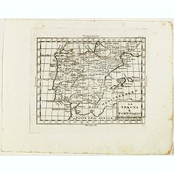
La Spagna e Portogallo.
Rare map of Spain and Portugal, from "Atlante Novissimo ad uso Dei Giovani Studiosi Contenuto In Carte XXVII.", published by Giovanni Zempel in Rome, ca. 1780.T...
Place & Date: Rome, 1780
Selling price: $50
Sold in 2019
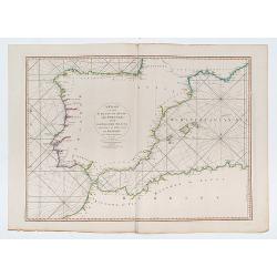
A Chart of the Coasts of Spain and Portugal, with the Balearic Islands, and Part of the Coast of Barbary.
Double page chart of the seas surrounding Spain and Portugal.
Place & Date: London, 1780
Selling price: $226
Sold in 2023
Regnorum Hispaniae et Portugalliae Tabula generalis.
Homann Heirs (of Johann Baptist and Johann Christof) published: Grosser Atlas, 1731, 1737. Geogr. Maior, 1759, Atlas Homannianus, 1762.Lopez?s map of the Iberian peninsul...
Place & Date: Nurnberg, 1782
Selling price: $300
Sold
Les Royaumes D'Espagne et de Portugal, divisés Par Grandes Provinces..
Attractive map of the Iberian Peninsula. Boundaries outlined in hand color.Ornated with a decorative title cartouche showing the coats of arms of Spain and Portugal.Prepa...
Place & Date: Paris, ca 1783
Selling price: $50
Sold in 2023
Carte du Royaume d' Espagne et de Portugal.
Detailed map of Spain, Portugal and Baleares islands. Showing also southwestern part of France and north Africa.Published in 1784 in his uncommon "Atlas Élémentair...
Place & Date: Paris, 1784
Selling price: $60
Sold in 2008
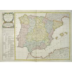
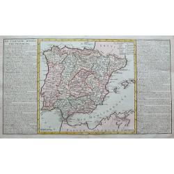
De l'Espagne divisee par provinces.
A large copper engraved sheet, with a map of the Iberian Peninsula and the Balearics, flanked with informative text about the regions and islands of Spain.
Place & Date: Paris, 1787
Selling price: $50
Sold in 2019
Carte de l'Espagne Dressée par Guillaume Delisle sur la description de Rodrigo Mendez Sylva . . . Le tout augmenté et vérifié en 1765 Par Phil. Buache, de l'Académie des Sciences.
Map of Spain and Portugal, including the North African coast and good detail for Majorca, Minorca and Ibiza. Taken from the Atlas Géographique.. published by Dezauche, a...
Place & Date: Paris, c.1790
Selling price: $50
Sold in 2022
Les Royaumes d?Espagne et de Portugal.
Jan Berend Elwe. Amsterdam-based publisher. Published a pocket-atlas of the Netherlands (1786) and of Germany (1791). Published in 1792 a folio-atlas with 37 maps.A map o...
Place & Date: Amsterdam, 1792
Selling price: $350
Sold in 2008
Spain and Portugal.
Uncommon miniature map from Gibson's "Atlas Minimus, or a New Set of Pocket Maps of the several Empires, Kingdoms and States of the known World".
Place & Date: London, 1792
Selling price: $40
Sold in 2011
Karte von dem Konigreiche Spanien.
An attractive oversized map of Spain and Portugal. With a decorative title cartouche in the lower right-hand corner and a legend on the left side.Franz Johann Josef von R...
Place & Date: Vienna, 1795
Selling price: $400
Sold in 2010
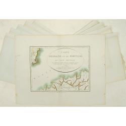
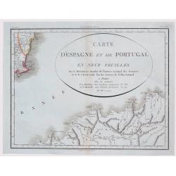
Carte d'Espagne et de Portugal en neuf feuilles.
Together forming a large wall map (970x126cm) of Spain and Portugal.
Place & Date: Paris, 1799
Selling price: $800
Sold
Carte D'Espagne et de Portugal en Neuf Feuilles ...
Fine unusual 1799 Mentelle & Chanlaire's copper engraved map covering part of Murcia, south-eastern Spain, centered on Cartagena. The map covers also northern porti...
Place & Date: Paris, 1799
Selling price: $170
Sold in 2021
A New Map of the Kingdoms of Spain and Portugal...
Attractive map of the Iberian Peninsula, including the Balearic Islands, parts of north Africa, and south France. Very detailed map with many place names, main roads, a l...
Place & Date: London, 1808
Selling price: $81
Sold in 2012
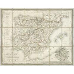
Carte des routes de postes et itinéraires d'Espagne et de Portugal par Ch. Pochet. . .
A charming dissected, linen mounted post route map of Spain and Portugal. With inset of the area around Madrid. Prepared by Lapie, who according to the title used materia...
Place & Date: Paris, 1810
Selling price: $300
Sold in 2009
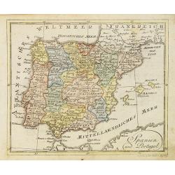
Spanien und Portugal.
Nice small map of Spain and Portugal published by Johannes Walch in his rare Allgemeiner Atlas Nach den bewährsten Hülfsmitteln und astronomischen Ortsbestimungen…, e...
Place & Date: Augsburg, 1812
Selling price: $25
Sold in 2023
Espagne et Portugal.
This map of Spain and Portugal was included in Malte-Brun's "ATLAS COMPLETE DU [RECIS DE LA GEOGRAPHIC UNIVERSELLE" published in Paris in 1812. The artist and e...
Place & Date: Paris, 1812
Selling price: $55
Sold in 2015
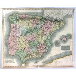
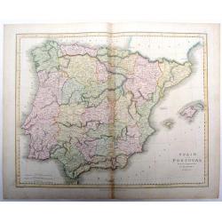
Spain & Portugal
A fine hand colored map of Spain and Portugal published by John Thomson in 1815.It is engraved in the minimalist English style begun in the early part of the 19th century...
Place & Date: Edinbourgh, 1815
Selling price: $130
Sold in 2020
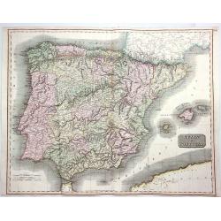
Spain & Portugal.
A fine hand colored 1815 map of Spain and Portugal, engraved in the minimalist English style pioneered in the early part of the 19th century. Thomson's map includes both ...
Place & Date: Edinbourgh, 1815
Selling price: $100
Sold in 2020
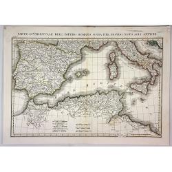
Parte Occidentale Dell Impero Romano Ossia del Mondo Noto Agli Antichi.
A fine map of the Mediterranean Sea with Spain, Italy, Sicily, Sardinia and Northern Africa as they were during the Roman Empire. By L. Rossi in Milan in 1820. Published ...
Place & Date: Milan, 1820
Selling price: $30
Sold in 2018
Spain and Portugal drawn & engraved for Dr. Playfair's Atlas.
Fine map of Spain and Portugal from Dr. Playfair's Atlas, from 1821. Published by Macredie, Skelly & Co. in Edinburgh. Engraved by B. Smith.
Place & Date: Edinburgh, 1821
Selling price: $21
Sold in 2018
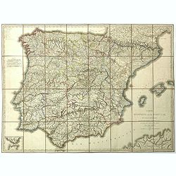
Carte d' Espagne et de Portugal en neuf feuilles. . .
Folding map of Spain and Portugal for the usage of travelers. Published by Edme Mentelle (1730-1815), geographer and historian at the Institut des Sciences, and Jean Bapt...
Place & Date: Paris, 1822
Selling price: $250
Sold in 2023
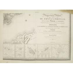
Mapa Civil ii Militar de Espana y Portugal con la nueva Division en distritos enriquecido de los planes particulares de 34 ciudades y puertos principales dedicado A las heroicas naciones espanola y portuguesa. . .
Lower right sheet of a rare six sheet map of Spain and Portugal in its 34 newly divided districts, printed in Paris with Noël et Dauty. Beside the title there are 6 inse...
Place & Date: Paris, 1823
Selling price: $550
Sold in 2008
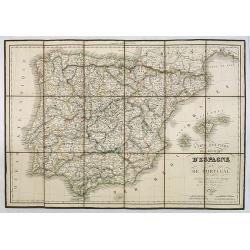
Carte Routière des Royaumes d'Espagne et de Portugal.
Road map of Spain and Portugal. Editor and engraver by L. H. Berthe at the Rue St. Jacques N°66 .
Place & Date: Paris, 1823
Selling price: $285
Sold in 2010
Il regni di spagna e di portogallo.
Charming map of Spain and Portugal from the rare atlas Atlante Tascabile o sia Serie di Num. XXI Cartine Geografiche nelle quali si rappresenta in ristretto lo Stato Attu...
Place & Date: Rome, 1823
Selling price: $25
Sold in 2023
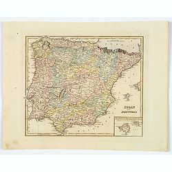
Spain and Portugal.
Fielding Lucas's 1823 elegantly engraved map of Spain & Portugal, with an inset of the islands of Majorca and Minorca. Fielding Lucas' fine work distinguished him as ...
Place & Date: Baltimore, 1823
Selling price: $25
Sold in 2019
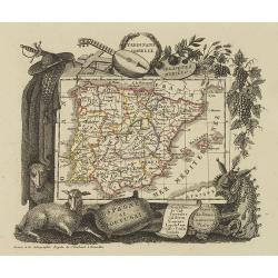
Espagne et Portugal
Attractive map of Spain and Portugal with decorative borders depicting typical artifacts and produce of the continent. Published in Les jeunes voyageurs en Europe.. . Eng...
Place & Date: Brussels, 1824
Selling price: $150
Sold in 2015
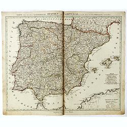
Karte der beeden koenidreiche Spanien und Portugal.
Uncommon map of Spain and Portugal published by Johannes Walch.Johann Walch (1757-1824) was cartographer and map publisher active in Augsburg, he was the son-in-law of Jo...
Place & Date: Augsburg, 1825
Selling price: $210
Sold in 2019



![[Lot of 5 maps of the Iberian peninsula / Belearics]](/uploads/cache/18379-(2)-250x250.jpg)


![Theatre de la Guerre en Espange et en Portugal. . . Presenté à Philippe V Roy d'Espagne, et de Indes. . . [four sheets]](/uploads/cache/01579-250x250.jpg)


![[Spain & Portugal] Hispania ex Archetypo Roderici Mendez Sylvae et variis Relationibus et Chartis manuscriptis et impressis huius Regni rectificatis per Observationes Sociorum Academiae Scientiarum quae est Parisiis.](/uploads/cache/1151518-250x250.jpg)


