Browse Listings in Europe > Scandinavia > Denmark
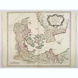
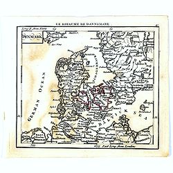
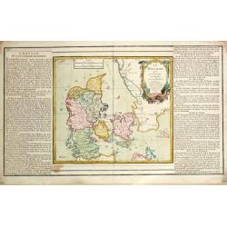
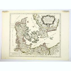
Royaume de Danemark. . .
A nice, detailed map of Denmark, including the Baltic Sea and the lower part of Sweden. Showing towns, rivers, mountains, ports, islands, etc. Adorned with a large title ...
Place & Date: Paris, ca 1750
Selling price: $40
Sold in 2020
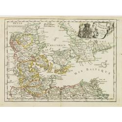
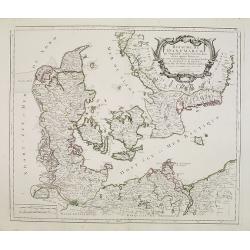
Royaume de Danemarck.
Fine map of Denmark with a decorative title cartouche. George Louis Le Rouge was active from 1740- till 1780 as a publisher, and was appointed engineer for the King of Fr...
Place & Date: Paris 1756
Selling price: $20
Sold
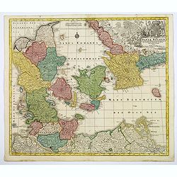
Daniae Regnum cum Ducatu Holsatiae et Slesvici. . .
An attractive map of Denmark by the German cartographer Tobias Lotter. The map also incorporates parts of northern Germany, including Schleswig Holstein, and the southern...
Place & Date: Augsburg, 1760
Selling price: $100
Sold in 2020
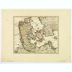
Nieuwe kaart van het Koninkryk van Deenemarken
A detailed and well engraved map of the kingdom of Denmark by one of the most important publishers in 18th century Amsterdam. With a box title and mileage scales below. I...
Place & Date: Amsterdam, 1760
Selling price: $20
Sold in 2021
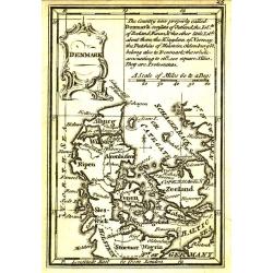
Denmark.
Uncommon miniature map of Denmark, engraved by Thomas Kitching for "A New General and Universal Atlas Containing Forty five Maps by Andrew Dury".This miniature ...
Place & Date: London, 1761-1763
Selling price: $25
Sold in 2020
Holmens Kirke.
A fantastic and rare view of the Holmens Kirke (Church of Holmen) in Copenhagen in Denmark. With the Holmens Kanal, several ships, people, and a horse carriage. From the ...
Place & Date: Copenhagen, 1763
Selling price: $34
Sold in 2018
Bar: Dehnsche Palais.
A fine view of the Palais, including people and horse carriages in the foreground.From the rare "Danske Atlas", the first and only edition of the monumental atl...
Place & Date: Copenhagen, 1763
Selling price: $51
Sold in 2018
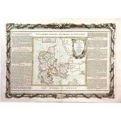
Le Danemark Divise par Provinces et Dioceses Sous une Metropole.
A very decorative map of Denmark, colored by its Provinces. From Brion's atlas, with elaborate decorative border - which was separately printed from the actual map. The s...
Place & Date: Paris, 1766
Selling price: $12
Sold in 2016
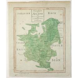
Geogr. Charta Seland. . .
This is an antique map of the Island of Zealand, Denmark made by Andrew Akerman (1721-1778) of Uppsala, Sweden and engraved by E Osterberg. Zealand is the largest and m...
Place & Date: Uppsala, 1768
Selling price: $4
Sold in 2021
Le Danemark
Louis Brion de la Tour (1756-1823), ' Atlas Géneral, Civil et Ecclésiastique', 1766, ' Atlas Général', 1790-98. Louis Charles Desnos (fl.1750-70), Le Rouge's 'Atlas N...
Place & Date: Paris, 1769
Selling price: $75
Sold
Le Danemark
Louis Brion de la Tour (1756-1823), ' Atlas Géneral, Civil et Ecclésiastique', 1766, ' Atlas Général', 1790-98. Louis Charles Desnos (fl.1750-70), Le Rouge's 'Atlas N...
Place & Date: Paris, 1769
Selling price: $135
Sold
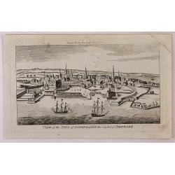
View of the City of Copenhagen, the Capital of Denmark.
A fine panoramic city view map of Copenhagen, Denmark. It features detailed sailing ships in the foreground. From "THE LADY'S MAGAZINE", published monthly in Lo...
Place & Date: London, 1780
Selling price: $40
Sold in 2018
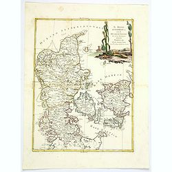
Il Regno di Danimarca con il Ducato di Sleswik. . .
A delicate and finely engraved map of Denmark by Antonio Zatta, published in Venice towards the end of the eighteenth century. The map is enhanced by a delightful title c...
Place & Date: Venice, 1781
Selling price: $60
Sold in 2019
Royaume de Danemarck..Sélande, Laland.
Finely and crisply engraved map of Denmark.Venetian edition of Giles Didier Robert De Vaugondy's map from Atlas Universel printed in 1776-84.Ornamental title cartouche in...
Place & Date: Venice, 1776 - 1784
Selling price: $100
Sold in 2016
Royaume de Danemarck. qui comprend le Nort-Jutland . . . Sélande, Laland.
A fine and crisp engraved map of Denmark. This is from the Venetian edition of Giles Didier Robert De Vaugondy's map from Atlas Universel printed in 1776-84.With a lovely...
Place & Date: Venice, 1776 - 1784
Selling price: $60
Sold in 2020
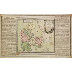
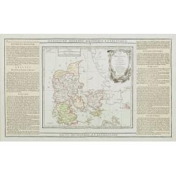
Le Danemark divisé par Provinces et Dioceses sous une Métropole..
Finely engraved map of Denmark, extending eastwards to show all islands including Bornholm. Decorative rococo-style cartouche.Left and right box with geographical informa...
Place & Date: Paris, 1790
Selling price: $30
Sold
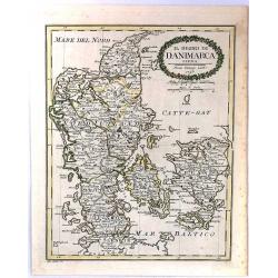
Il Regno Di Danimarca.
A rare map of Denmark, published by Pazzini Carli in Siena. Engraved by A. Borghi. With a lovely quaint, oval, floral, cartouche.
Place & Date: Siena, 1790
Selling price: $17
Sold in 2018
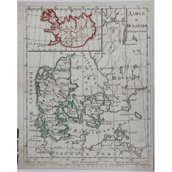
DANIJA I ISLANDIJA, (Russian map).
A copperplate Russian map of Denmark and Iceland, with original outline coloring, published in 1790.
Place & Date: St. Petersburg, 1790
Selling price: $425
Sold in 2017
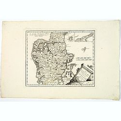
Des Konigreichs Daenemark halbinsel Jutland.
A map of the Danish province of Jutland, from J. Von Reilly's scarce Grosser Deutscher Atlas. Both Von Reilly & Schraembl led a marked revival of map making in Vienna...
Place & Date: Vienna, 1790
Selling price: $50
Sold in 2020
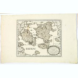
Des Konigreichs Daenemark Inseln Seeland, Moen, Bornholm, Funen, Langeland, Laaland, Falster.
A nice map by Von Reilly of several of Denmark's numerous islands. This map shows the islands of: Funen, Zealand, Falster, Langeland, Mon, Lolland, and has an inset of Bo...
Place & Date: Vienna, 1790
Selling price: $40
Sold in 2020
Denmark.
Uncommon miniature map from Gibson's "Atlas Minimus, or a New Set of Pocket Maps of the several Empires, Kingdoms and States of the known World".
Place & Date: London, 1792
Selling price: $40
Sold
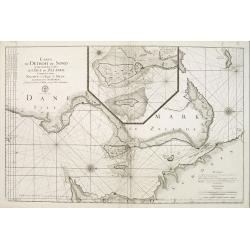
Carte du detroit du Sond contenant les costes de L'Isle de Zélande comprises entre Nicopen et l'Isle de Meun, et celles du Schonen ..
This large scale coastal chart which is oriented so that the west is at the top of the page, shows the north-eastern island of Denmark, Sjaelland on which is located Cope...
Place & Date: Versailles c.1793
Selling price: $150
Sold
Carte de la Mer de Dannemark et des entrées dans la Mer Baltique contenant les bancs, passes, isles et costes comprises depuis Norden et le Cap Der-Neus ..
A large and detailed nautical chart in Mercator projection, showing the seas surrounding Denmark and between Denmark, Norway and Sweden, from Jacques Nicolas Bellin?s ca....
Place & Date: Versailles c.1793
Selling price: $300
Sold
Denmark.
A fully colored map of Denmark from An Universal Atlas Consisting of a Complete Set of Maps, peculiarly adapted to illustrate and explain ancient and modern geography, S....
Place & Date: London, 1797
Selling price: $17
Sold in 2021
Denmark From the Best Authorities.
Finely detailed map of Denmark and Holstein by Russell.
Place & Date: London, 1799
Selling price: $23
Sold in 2016
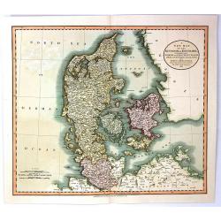
A New Map of the Kingdom of Denmark, Comprehending North and South Jutland, Zeeland, Fyen, Laaland, and Part of Holstein
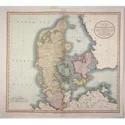
A striking map of the region, colored by its provinces. It shows towns, roads, rivers, lakes, mountains, islands, etc. The map offers great detail and color coding accor...
Place & Date: London, 1801
Selling price: $35
Sold in 2016
A New Map of the Kingdom of Denmark, Comprehending North and South Jutland, Zeeland, Fyen, Laaland, and Part of Holstein
An attractive, very detailed map of Denmark. Covers Jutland and the islands of Zeeland, Fyen, Laaland. Also includes most of the Duchy of Holstein and parts of Lower Saxo...
Place & Date: London, 1801
Selling price: $46
Sold in 2016
Danimarca.
A fine copper engraved Map of Denmark by Carlo Barbiellini. Engraved by Camiani. It is from "Atlante Delle Geograpfia Antica e Moderna".
Place & Date: Italy, 1807
Selling price: $23
Sold in 2016
Karta öfver Syd Westra delen af Öster Sjön..
Map centred on the south-western part of the Baltic Sea, namely on the Isles of Fyn and Sjaelland in Denmark. It gives also good detail of the southern coast of Germany a...
Place & Date: Stockholm 1808
Selling price: $200
Sold
Karte vom Königreichs Daenemark nach den von der Akademie der Wissenschaften zu Kopenhagen harausgegebenen Special Karten. . .
Uncommon folding map of Denmark and part of Sweden and Germany. A road system has been drawn in.More about folding maps. [+]
Place & Date: Berlin, ca. 1808
Selling price: $50
Sold in 2013
Daenemark.
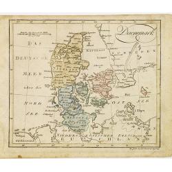
Nice small map of Denmark by Johannes Walch in his rare Allgemeiner Atlas Nach den bewährsten Hülfsmitteln und astronomischen Ortsbestimungen…, edition of 1812.Johann...
Place & Date: Augsburg, 1812
Selling price: $80
Sold in 2012
Denmark.
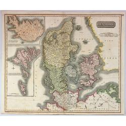
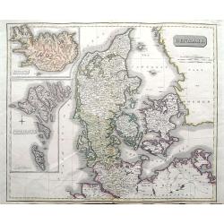
A pleasing, hand colored, 1814 Thomson map that features Denmark, with inserts of Iceland, and the Faeroe Islands. It is engraved in the minimalist English style pioneere...
Place & Date: Edinbourgh, 1814
Selling price: $150
Sold in 2019
Denmark.
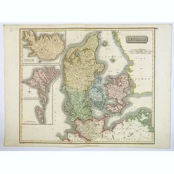
This fascinating hand colored 1814 map that depicts Denmark, Iceland and the Faeroe Islands. The whole is beautifully engraved in the minimalist English style pioneered i...
Place & Date: Edinburgh, 1814
Selling price: $30
Sold in 2021
Denmark, Iceland & Feroe Islands.
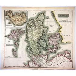
Very pleasing large engraved map of Denmark by Joun Johnson in Edinbourg in 1817. Features inserts of Iceland and Feroe Islands. John Thomson (1777-1840), was a Scottish...
Place & Date: Edinbourgh, 1817
Selling price: $30
Sold in 2017
Denmark; Iceland; Feroe Islands.
A double page map of Denmark with inset maps of Iceland and the Faroe Islands.
Place & Date: Edinburgh, 1817
Selling price: $50
Sold in 2020
A New map of the Kingdom of Denmark, Comprehending North and South Jutland, Zeeland, Fyen, Laaland, and Part of Holstein.
An accurate map of Denmark by John Cary who was considered 'the most representative, able and prolific of English cartographers'. Tooley says, 'As an engraver he was eleg...
Place & Date: London, 1819
Selling price: $33
Sold in 2020
Denmark.
An attractive steel engraved map of Denmark, with an inset map of Iceland, which was then a Danish dependency. Many place names and physical features shown.The Arrowsmith...
Place & Date: London, 1839
Selling price: $85
Sold in 2017
Neueste Karte von Danemark mit Holstein und Lauenburg. . .
A detailed regional map of Denmark, with inset map of the Danish dependency of Iceland. Administrative boundaries hand col. Relief shown by hachures. From Meyer's Hand At...
Place & Date: Hildburghausen, 1846
Selling price: $17
Sold in 2021
Denemarken Ijsland en de Faroër Eilanden.
Uncommon map of Denmark with inset map of Iceland. Lithography by J.H. van Weijer, published in Atlas der geheele Aarde [?] in 24 kaarten. With colored key to processions...
Place & Date: Groningen, ca. 1860
Selling price: $20
Sold in 2008
Danemark
Decorative map of the Denmark from Géographie Universelle, Atlas Migeon. published by J. Migeon. Engraved by Schroeder of a view of the castle of Kroneburg in the upper ...
Place & Date: Paris, 1874
Selling price: $30
Sold in 2019
Danemark, Islande et Iles Faeröe.
A decorative map of Denmark, Iceland and the Faroe Islands from Géographie Universelle, Atlas Migeon. published by J. Migeon. With an engraving of the Kronborgh Castle u...
Place & Date: Paris, 1874
Selling price: $20
Sold in 2013
Kobenhavn / North Seeland.
A nice, large, colorful town plan of the Danish capital, published in 1946. The map covers in some detail from the central train station and the Tivoli Gardens, north up ...
Place & Date: Kobenhavn, 1946
Selling price: $65
Sold in 2018
Helgolandia A o. 1649. / Helgoladt in annis Christi 800, 1300 & 1649. Johannnes Mejerus Husum.
Johan Blaeu succeeded his father Willem when the latter died in 1638. Johan led the Blaeu firm to its greatest achievement, the 'Atlas Maior' in 12 parts, the greatest an...
Place & Date: Amsterdam, 1662,
Selling price: $230
Sold
Castra Suedica ad Fridirici Uddam.
From Pufendorf's famous chronicle on the Baltic area, ' Histoire du règne de Charles Gustave, roy de Suède'The Swedish fortifications in front of Fredericia, 1657.
Place & Date: Nürnberg, C. Riegel, 1697.
Selling price: $75
Sold in 2008
