Browse Listings in Europe > Scandinavia
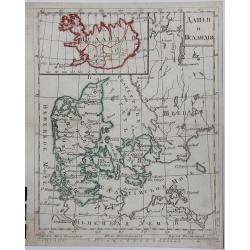
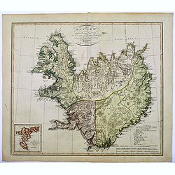
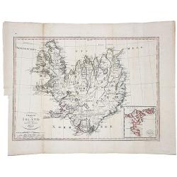
DANIJA I ISLANDIJA, (Russian map).
A copperplate Russian map of Denmark and Iceland, with original outline coloring, published in 1790.
Place & Date: St. Petersburg, 1790
Selling price: $425
Sold in 2017
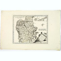
Des Konigreichs Daenemark halbinsel Jutland.
A map of the Danish province of Jutland, from J. Von Reilly's scarce Grosser Deutscher Atlas. Both Von Reilly & Schraembl led a marked revival of map making in Vienna...
Place & Date: Vienna, 1790
Selling price: $50
Sold in 2020
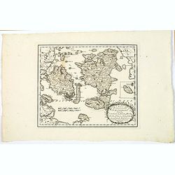
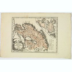
Des Konigreichs Daenemark Inseln Seeland, Moen, Bornholm, Funen, Langeland, Laaland, Falster.
A nice map by Von Reilly of several of Denmark's numerous islands. This map shows the islands of: Funen, Zealand, Falster, Langeland, Mon, Lolland, and has an inset of Bo...
Place & Date: Vienna, 1790
Selling price: $40
Sold in 2020
Pass Charta öfver N:ra Delen af Östersjön, Ålands Haf med S:dra Del:en af Botten-Hafvet..
Map of the opposing coasts of Sweden and Finland, centred on the Finnish region of Aland.With inset plans of the Northeasternest islands belonging to Aland in upper right...
Place & Date: Stockholm 1791
Selling price: $300
Sold
Pass Charta öfver Finska Wiken..
Maritime chart centred on the Gulf of Finland, depicting the opposing coasts of Finland and Russia.With 6 inset plans in the lower part of the map, illustrating enlargeme...
Place & Date: Stockholm 1791
Selling price: $550
Sold
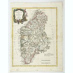
La Norvegia divisa Nelle Sue, Provincie Di nuova Projezione.
A fine large map of Norway, engraved by Zuliani after Pitteri. Few maps of Norway on its own were published during this period. Map shows the country divided into its pro...
Place & Date: Venice, 1791
Selling price: $180
Sold in 2019
La Norvegia divisa Nelle Sue, Provincie Di nuova Projezione.
A fine large map of Norway, engraved by Zuliani after Pitteri. Few maps of Norway on its own were published during this period. Map shows the country divided into its pro...
Place & Date: Venice, 1791
Selling price: $110
Sold in 2022
New and correct chart of the Gulf of Finland from the Russian and Swedish surveys Regulated and Ascertained by celestial observations. . .
Large scale blue-backed chart with three insets, . The Bay of Revel. The entrance of Cronstadt. The entrances to Fredrichstamn with Afpo Isles. The main chart has Saint P...
Place & Date: London, Liverpool, 1791
Selling price: $250
Sold in 2023
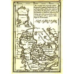
Denmark.
Uncommon miniature map from Gibson's "Atlas Minimus, or a New Set of Pocket Maps of the several Empires, Kingdoms and States of the known World".
Place & Date: London, 1792
Selling price: $40
Sold
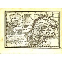
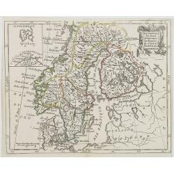
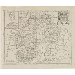
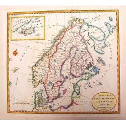
Sweden and Norway.
Uncommon miniature map from Gibson's "Atlas Minimus, or a New Set of Pocket Maps of the several Empires, Kingdoms and States of the known World".
Place & Date: London, 1792
Selling price: $35
Sold
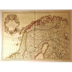
Cartes Des Courones Du Nord Jan.B.Elwe MDCCXCII [2 sheets]
Norway Sweden & Denmark on 2 sheets each 450 x 610mm Initially derived from a De L'Isle map these 2 sheets are printed from plates engraved by R 7 J Ottens in c1725. ...
Place & Date: Amsterdam, 1792
Selling price: $400
Sold in 2011
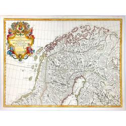
Carte des Courones du Nord.
A decorative map of Northern Scandinavia. The map shows part of the Kingdom of Norway, Swedish Lapland, Oulu, and Vasaa. Until 1775, the latter was known under Ostrobothn...
Place & Date: Amsterdam, 1792
Selling price: $50
Sold in 2019
Carte des Courones du Nord.
A decorative map of Northern Scandinavia. The map shows part of the Kingdom of Norway, Swedish Lapland, Finland, Oulu and Vasaa, until 1775. The map was dedicated to Prin...
Place & Date: Amsterdam, 1792
Selling price: $76
Sold in 2016
Das Konigreich Norwegen.
Von Reilly's map of Norway, published in the ‘Schauplatz der fünf Theile der Welt, Vienna, 1792. It shows central and southern Norway, with the northern half as an ins...
Place & Date: Vienna, 1792
Selling price: $19
Sold in 2021
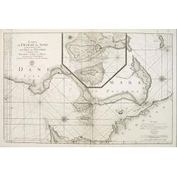
Carte du detroit du Sond contenant les costes de L'Isle de Zélande comprises entre Nicopen et l'Isle de Meun, et celles du Schonen ..
This large scale coastal chart which is oriented so that the west is at the top of the page, shows the north-eastern island of Denmark, Sjaelland on which is located Cope...
Place & Date: Versailles c.1793
Selling price: $150
Sold
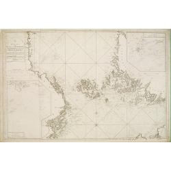
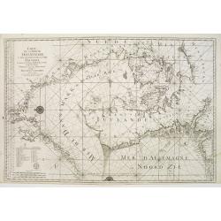
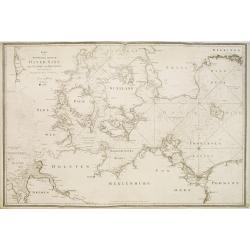
Carte de la Mer de Dannemark et des entrées dans la Mer Baltique contenant les bancs, passes, isles et costes comprises depuis Norden et le Cap Der-Neus ..
A large and detailed nautical chart in Mercator projection, showing the seas surrounding Denmark and between Denmark, Norway and Sweden, from Jacques Nicolas Bellin?s ca....
Place & Date: Versailles c.1793
Selling price: $300
Sold
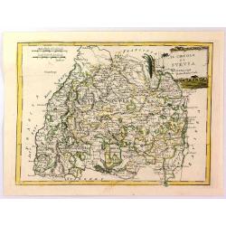
Il Circulo di Svevia.
"The Circle of Swabia" and below "1793 at Siena Pazzini Carli". The map comes from "Atlante Geografico...", the rare geographical atlas that...
Place & Date: Siena, 1793
Selling price: $10
Sold in 2018
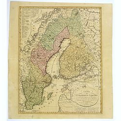
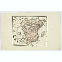
Charte uber das Konigreich Schweden. . .
A detailed map of the Kingdom of Sweden, which until 1809 included Finland, which was then lost to Russia. The original tri-colors of the map are typical of the period. S...
Place & Date: Nuremberg, 1793
Selling price: $110
Sold in 2018
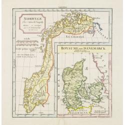
Norwege.. Royaume de Danemarck.
Attractive double page map of Norway and with a large inset map of Denmark.Original outline colors with later coulor addition.
Place & Date: Paris 1795
Selling price: $40
Sold
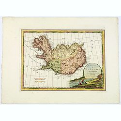
L'Isola d'Islanda Delineata Sulle ultime osservazioni.
Cassini’s splendid map depicts Iceland at the end of the eighteenth century. Though Iceland was geographically isolated from the European continent, for centuries it wa...
Place & Date: Rome, 1796
Selling price: $600
Sold in 2019
L'Isola d'Islanda Delineata Sulle ultime osservazioni.
Cassini’s splendid map depicts Iceland at the end of the eighteenth century. Though Iceland was geographically isolated from the European continent, for centuries it wa...
Place & Date: Rome, 1796
Selling price: $425
Sold in 2018
Spezial Karte vom des Konigreichs Schweden sudlichen Provinzen. . .
Map shows the southern most part of Sweden, Götaland. The area includes the ten historical provinces, also called "Landscapes", Småland, Öland, Västergötla...
Place & Date: Vienna, 1796
Selling price: $45
Sold in 2020
General Karte von den Konigreichen Schweden Daenemark u Norwegen mit Gronland und den Inseln Island und Foeroer.
Von Reilly's map of Scandinavia, together with insets of Iceland, Greenland and the Faroe islands. Elaborate title cartouche facing to the east of the map. With some good...
Place & Date: Vienna, 1796
Selling price: $80
Sold in 2019
Il Regno di Svezia divisio nelle sue provincie e delineato. . .
This delightful map of Sweden and Finland highlights rivers, lakes, mountains and towns. The decorative title cartouche depicts a man fishing with small ships sailing in ...
Place & Date: Rome, 1796
Selling price: $90
Sold in 2020
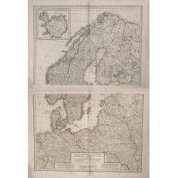
LES COURONNES DU NORD, le Danemarck, la Norwège, l' Islande, et la Suède. partie de la Russie d' Europe, de la Pologne, la Prusse, partie de l' Allemagne et des Frontières de la France.
Charles François Delamarche (1740-1817), Paris-based geographer and publisher, successor to Didier Robert de Vaugondy after his death in 1786.Two maps together depicting...
Place & Date: Paris, 1797
Selling price: $475
Sold in 2009
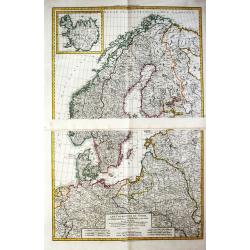
Les Cournonnes du Nord, le Danemarck, la Norwege, L'Islande et la Suede...
Huge two part map of northern Europe including Denmark, Norway, Sweden, European Russia, Poland, Germany. France, with an insert of Iceland. Charles-François Delamar...
Place & Date: Paris, 1797
Selling price: $381
Sold in 2019
Denmark.
A fully colored map of Denmark from An Universal Atlas Consisting of a Complete Set of Maps, peculiarly adapted to illustrate and explain ancient and modern geography, S....
Place & Date: London, 1797
Selling price: $17
Sold in 2021
Royaumes de Suede et de Norwege..
Small general map of Scandinavia. From Atlas Portatif Universel, by Robert de Vaugondy.Page 8 outside border top right. Mary Sponberg Pedley does not mention a state with...
Place & Date: Paris, ca. 1748-1799
Selling price: $100
Sold in 2019
Denmark From the Best Authorities.
Finely detailed map of Denmark and Holstein by Russell.
Place & Date: London, 1799
Selling price: $23
Sold in 2016
Island nach Murdochischer Projection...
An unusual map of Iceland by the German cartographer and geographer J.C.M. Reinecke, based on an earlier survey map by the Frenchman Verdun de la Crenne, done a generatio...
Place & Date: Weimar, 1800
Selling price: $315
Sold in 2016
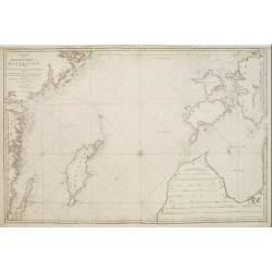
Charta öfver Medlersta Delen af Östersjön..
Uncommon chart centred on the Baltic Sea, giving good detail of the south-eastern coast of Sweden with the Gotland island, part of the coast of Latvia and Estonia with th...
Place & Date: Stockholm 1801
Selling price: $400
Sold
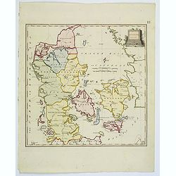
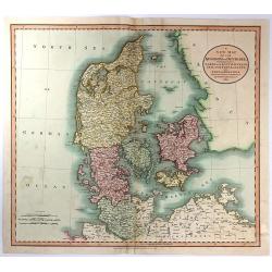
A New Map of the Kingdom of Denmark, Comprehending North and South Jutland, Zeeland, Fyen, Laaland, and Part of Holstein
A striking map of the region, colored by its provinces. It shows towns, roads, rivers, lakes, mountains, islands, etc. The map offers great detail and color coding accor...
Place & Date: London, 1801
Selling price: $35
Sold in 2016
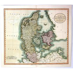
A New Map of the Kingdom of Denmark, Comprehending North and South Jutland, Zeeland, Fyen, Laaland, and Part of Holstein
An attractive, very detailed map of Denmark. Covers Jutland and the islands of Zeeland, Fyen, Laaland. Also includes most of the Duchy of Holstein and parts of Lower Saxo...
Place & Date: London, 1801
Selling price: $46
Sold in 2016
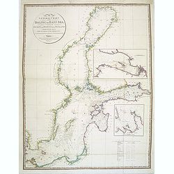
A General Chart of the Baltic or East Sea, including the Gulfs of Botnia and Finland . . .
Detailed and scarce chart of the Baltic and contiguous coasts, from Faden's general atlas. With two insets of the areas around Revel and St. Petersburg.Engraved by Neele ...
Place & Date: London, June 1803
Selling price: $350
Sold in 2014
Island nach Murdochisher Projection. . .
An unusual, odd looking map of Iceland, based on Patrick Murdoch's projection of the previous century. As a result the island of Iceland looks 'shortened' or 'compacted'....
Place & Date: Weimar, 1804
Selling price: $325
Sold in 2018
Norwege. . .
Map of Norway., with inset map of Denmark.By C. F. Delamarche, successor of Robert de Vaugondy, Geographer.
Place & Date: Paris, 1794 - 1806
Selling price: $40
Sold in 2023
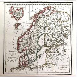
Les Couronnes du Nord, comprenant les royaumes de Suede, Norwege et Danemark.
Map of Sweden, Norway and Denmark, from Atlas moderne portatif composé de vingt-huit cartes sur toutes les parties du globe terrestre .. A l\'usage des Colléges, des Pe...
Place & Date: Paris, Prudhomme, Levrault, Debray, 1806
Selling price: $120
Sold in 2009
Les Couronnes du Nord, Comprenant les Royaumes de Suède, Norwege et Danemarck.
Map of Scandinavia, from Atlas de la Géographie de toutes les parties du monde .. Ouvrage destiné pour l'education, et nécessaire aux négocians, aux voyageurs, aux fo...
Place & Date: Paris, Prudhomme, Levrault, Debray, 1806
Selling price: $20
Sold in 2018
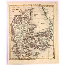
Danimarca.
A fine copper engraved Map of Denmark by Carlo Barbiellini. Engraved by Camiani. It is from "Atlante Delle Geograpfia Antica e Moderna".
Place & Date: Italy, 1807
Selling price: $23
Sold in 2016
Karta öfver Syd Westra delen af Öster Sjön..
Map centred on the south-western part of the Baltic Sea, namely on the Isles of Fyn and Sjaelland in Denmark. It gives also good detail of the southern coast of Germany a...
Place & Date: Stockholm 1808
Selling price: $200
Sold
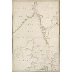
Karta öfver Kettegat och Bohus Bugten med en del af Skagerrack..
Chart encompassing the part of the North Sea between the Kattegat and the Skagerrak straits.It gives good detail of the Jutland seacoast as well as part of Norway and the...
Place & Date: Stockholm, 1808
Selling price: $100
Sold in 2011
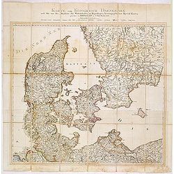
Karte vom Königreichs Daenemark nach den von der Akademie der Wissenschaften zu Kopenhagen harausgegebenen Special Karten. . .
Uncommon folding map of Denmark and part of Sweden and Germany. A road system has been drawn in.More about folding maps. [+]
Place & Date: Berlin, ca. 1808
Selling price: $50
Sold in 2013
Charte von Island und den Faroer-Inseln.
An edition of this scarce map of Iceland, by an anonymous publisher in Prague.It shows excellent detail in the interior of the Island, including political subdivisions, t...
Place & Date: Prague, 1808
Selling price: $120
Sold in 2021
Karta öfver Syd Ostra Delen af Öster Sjön..
Uncommon chart centred on the southern part of the Baltic Sea, giving good detail of the southern Swedish coast, part of Poland, Russia, Lithuania and Latvia.Decorated wi...
Place & Date: Stockholm 1810
Selling price: $325
Sold
Karta öfver Jönköpings Kronobergs och Blekings Höfdingdöme utgifven af Friherre S. G. Hermelin.
A highly detailed large-scale map of Småland and Blekinge in southern Sweden. The map shows the area from Gränna and Jönköping with the Vättern lake, until Kristians...
Place & Date: Stockholm, 1810
Selling price: $36
Sold in 2019
Sweden, Denmark, Norway and Finland from the Best Authorities.
A fine copper engraving map of Scandinavia engraved for Carey's American Edition of "Guthrie's Geography" improved. It has an inset of Iceland. Engraved by Sidn...
Place & Date: Philadelphia, 1811
Selling price: $45
Sold in 2013
Norwege, Suede et Danemark.
A striking map of Scandinavia, with a large inset of Iceland, and a smaller one of the Faroe Islands. Félix Delamarche was a French geographer and engineer who flourishe...
Place & Date: Paris, 1811
Selling price: $15
Sold in 2016
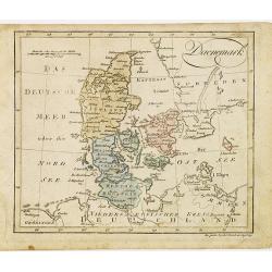
Daenemark.
Nice small map of Denmark by Johannes Walch in his rare Allgemeiner Atlas Nach den bewährsten Hülfsmitteln und astronomischen Ortsbestimungen…, edition of 1812.Johann...
Place & Date: Augsburg, 1812
Selling price: $80
Sold in 2012
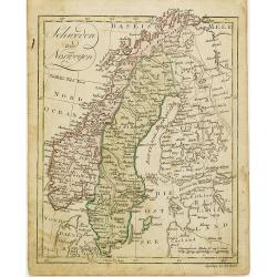
Schweden und Norwegen.
Nice small map of Scandinavia by Johannes Walch in his rare Allgemeiner Atlas Nach den bewährsten Hülfsmitteln und astronomischen Ortsbestimungen…, edition of 1812.Jo...
Place & Date: Augsburg, 1812
Selling price: $100
Sold in 2012
Carte particulière de la côte de Norwége, à l'est de Flekkeröe et Christiansand, avec partie de la côte de Suède jusqu'à. . .
Large sea chart showing northern part of Skagerrak with the coast of Norway with Kristiansand till Frederiksted and the Swedish coast till just north of Gothenburg. The c...
Place & Date: Paris, 1812
Selling price: $200
Sold in 2018
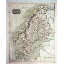
Scandinavia, or Sweden, Denmark & Norway.
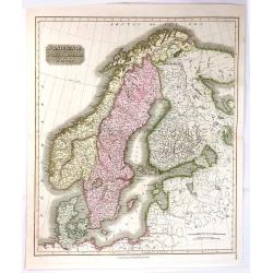
A pleasing hand colored 1817 map of Scandinavia; depicting Sweden, Denmark, and Norway. Modern day Finland, though included, was then part of the Kingdom of Sweden. Thoms...
Place & Date: Edinbourgh, 1814
Selling price: $60
Sold in 2019
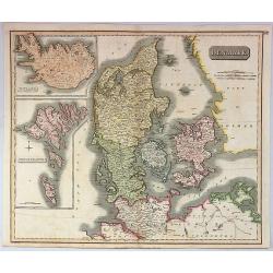
Denmark.
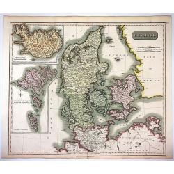
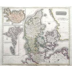
A pleasing, hand colored, 1814 Thomson map that features Denmark, with inserts of Iceland, and the Faeroe Islands. It is engraved in the minimalist English style pioneere...
Place & Date: Edinbourgh, 1814
Selling price: $150
Sold in 2019
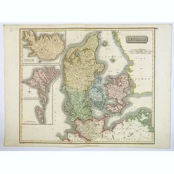
Denmark.
This fascinating hand colored 1814 map that depicts Denmark, Iceland and the Faeroe Islands. The whole is beautifully engraved in the minimalist English style pioneered i...
Place & Date: Edinburgh, 1814
Selling price: $30
Sold in 2021
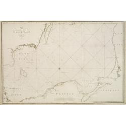
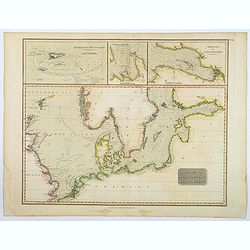
Chart of the North and Baltic Seas &c.
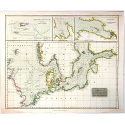
A detailed sea chart of the North Sea & Baltic Sea by John Thomson, the Edinburgh cartographer. This highly detailed chart features soundings, shoals, fishing banks a...
Place & Date: Edinburgh, 1816
Selling price: $80
Sold in 2020
Chart of the North and Baltic Seas
A detailed sea chart of the North Sea & Baltic Sea by John Thomson, the Edinburgh cartographer. This highly detailed chart features soundings, shoals, fishing banks ...
Place & Date: Edinbourgh, 1817
Selling price: $155
Sold in 2019
Scandinavia, or Sweden, Denmark & Norway
This fine hand colored map of Scandinavia depicts Sweden, Denmark, and Norway and Finland which was part of Sweden. The map is beautifully engraved in the minimalist Engl...
Place & Date: Edinbourgh, 1817
Selling price: $40
Sold in 2016
Denmark, Iceland & Feroe Islands.
Very pleasing large engraved map of Denmark by Joun Johnson in Edinbourg in 1817. Features inserts of Iceland and Feroe Islands. John Thomson (1777-1840), was a Scottish...
Place & Date: Edinbourgh, 1817
Selling price: $30
Sold in 2017
Denmark; Iceland; Feroe Islands.
A double page map of Denmark with inset maps of Iceland and the Faroe Islands.
Place & Date: Edinburgh, 1817
Selling price: $50
Sold in 2020
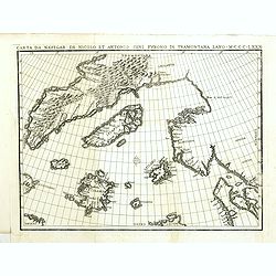
Carta da navegar de Nicolo et Antonio Zeni Furono in Tramontana Lano MCCCLXXX.
An early 19th-century example of Nicolo Zeno's map of the North Atlantic, based upon the legend of a 14th Century Venetian Zeno family and their reported travels to the N...
Place & Date: Venice, 1818
Selling price: $500
Sold in 2016
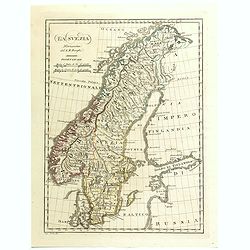
La Svezia Norissima.
A fine detailed map of Sweden
Place & Date: Florence, 1818
Selling price: $11
Sold in 2016
La Svezia Norissima.
A detailed map of Sweden and Norway from the rare "Geographic Atlas" by Borghi. Abbot Bartolomeo Borghi (1750-1821), was a cartographer, engraver and publisher....
Place & Date: Florence, 1819
Selling price: $50
Sold in 2018
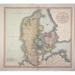
A New map of the Kingdom of Denmark, Comprehending North and South Jutland, Zeeland, Fyen, Laaland, and Part of Holstein.
An accurate map of Denmark by John Cary who was considered 'the most representative, able and prolific of English cartographers'. Tooley says, 'As an engraver he was eleg...
Place & Date: London, 1819
Selling price: $33
Sold in 2020
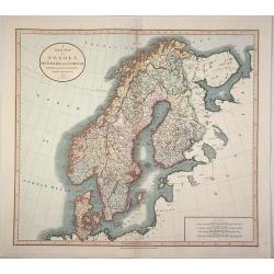
A New Map of Sweden, Denmark and Norway from the Latest Authorities.
An accurate map of Scandinavia by John Cary who was considered 'the most representative, able and prolific of English cartographers'. Tooley says, 'As an engraver he was ...
Place & Date: London, 1819
Selling price: $53
Sold in 2020
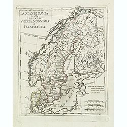
La scandinavia o sia i regni di suezia, norvegia e danimarca.
Charming and uncommon map of Scandinavia, including Norway, Sweden, Denmark, Finland and part of Russia, from the rare atlas Atlante Tascabile o sia Serie di Num. XXI Car...
Place & Date: Rome, 1823
Selling price: $120
Sold in 2011
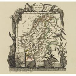
Suede et Norvege.
Attractive map of Norway and Sweden with decorative borders depicting typical artifacts and produce of the continent. Published in Les jeunes voyageurs en Europe.. . Engr...
Place & Date: Brussels 1824
Selling price: $100
Sold in 2010
Carte Generale des Royaumes de Suede, de Norvege et de la Danemark.
A fine and detailed large map of the region with insets of Denmark, Faroe Islands, and Iceland. A scroll style title with the embossed royal seal, a keyboard style border...
Place & Date: Paris, 1825
Selling price: $17
Sold in 2021
Islande.
PLANO SHEET : Map of Iceland: No. 1.bis covering Iceland, from his famous Atlas Universel.This atlas was one of the most remarkable world atlases ever produced, anticipat...
Place & Date: Brussels, 1825-1827
Selling price: $200
Sold in 2016
[ Spitzbergen ]
Uncommon aquatint depicting the southern bay of Spitzbergen, engraved by Fumagalli. From Giulio Ferrario's work Le Costume Ancien et Moderne ou Histoire du gouvernement, ...
Place & Date: Milan, 1827
Selling price: $50
Sold in 2020
Islande N° 1
Highly detailed and important map Iceland. Shows the entire island with many towns, glaciers, rivers, bays,...Vandermaelen accomplished the first atlas with map of the wo...
Place & Date: Brussels, 1827
Selling price: $31
Sold in 2011
Les Islandais.
Showing the traditional hairstyle of the women of Iceland. From Giulio Ferrario's work Le Costume ancien et moderne ou histoire du gouvernement, de la milice, de la relig...
Place & Date: Milan, 1827
Selling price: $80
Sold in 2018
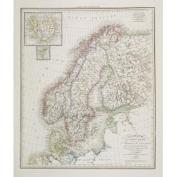
Scandinavie ou Suède et Norwège et Royaume de Danemark . . .
Detailed map of Sweden, Norway, Finland and Denmark, prepared by A. H. Basset, rue Saint-Jacques, no. 64, Paris and published in Atlas classique et Universel de Géograph...
Place & Date: Paris, A.H. Basset, 1828
Selling price: $100
Sold in 2010
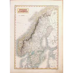
Sweden & Norway.
A striking hand-colored engraving featuring Sweden & Norway. It was engraved by Syd Hall and published in "A NEW GENERAL ATLAS" by Longman, Rees, Brown &...
Place & Date: London, 1828
Selling price: $16
Sold in 2018
Scandinavia including Sweden, Norway & Denmark.
An excellent steel engraved map of Scandinavia, including the Baltics and St. Petersburg. An inset map shows Iceland.
Place & Date: Edinburgh, ca 1831
Selling price: $50
Sold in 2019
La Svezia e la Gotia.
A fine map of Sweden by Francesco Constantino Marmocchi. It is from the atlas "Atlante di Geogrfia Universale" published in Florence in 1838. The map features a...
Place & Date: Florence, 1838
Selling price: $22
Sold in 2016
Denmark.
An attractive steel engraved map of Denmark, with an inset map of Iceland, which was then a Danish dependency. Many place names and physical features shown.The Arrowsmith...
Place & Date: London, 1839
Selling price: $85
Sold in 2017
L'Isola d'Islanda Delineata Sulle ultime osservazioni.
Cassini’s splendid map depicts Iceland at the end of the eighteenth century. Though Iceland was geographically isolated from the European continent, for centuries it wa...
Place & Date: Rome, 1796- before 1839
Selling price: $425
Sold in 2018
Monarchie Norvegieno Suedoise et Danemark.
Finely engraved map of Scandinavia, including Norway, Sweden, Denmark with insets of Iceland and Faroe Islands, prepared by A.H.Dufour and engraved by Giraldon-Bovinet. P...
Place & Date: Paris, Jules Renouard, ca.1840
Selling price: $30
Sold in 2012
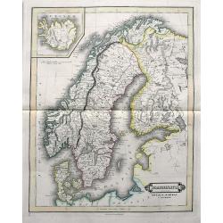
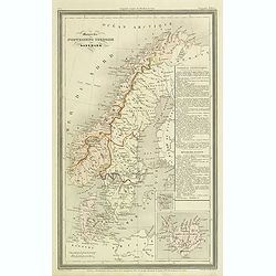
[Three S.D.U.K. Scandinavian Maps.]
Three Scandinavian SDUK maps including:1) Denmark and part of Norway.2) The southern Provinces of Sweden (Sverige).3) Sweden, Norway and Denmark.Published by the "So...
Place & Date: London, 1841
Selling price: $11
Sold in 2016
Plan de Reykjavík.
Detailed plan of Reykjavík from 'Voyage en Islande et au Groenland' by M. Paul Gaimard, published in Paris 1842. Engraved by Ambroise Tardieu' after 'V. Lottin'. Paul Ga...
Place & Date: Paris, 1842
Selling price: $450
Sold in 2019
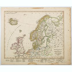
Schweden und Norwegen, Danemark, Island u. Faer-Oer. . .
A map of the northern Atlantic Ocean, centered on Scandinavia, the British Isles and Iceland published by Stieler in his 'Hand-Atlas.' Scandinavian region are listed belo...
Place & Date: Gotha, 1845
Selling price: $11
Sold in 2021



![Cartes Des Courones Du Nord Jan.B.Elwe MDCCXCII [2 sheets]](/uploads/cache/91753-250x250.jpg)










![[ Spitzbergen ]](/uploads/cache/27540-250x250.jpg)




![[Three S.D.U.K. Scandinavian Maps.]](/uploads/cache/96036-250x250.jpg)

