Browse Listings in Europe > Russia / Baltic / Black Sea region
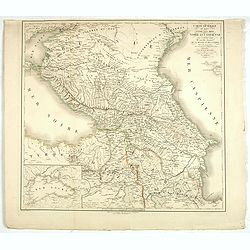
Carte générale du pays entre les mers Noire et Caspienne, avec la désignation des nouvelles frontières de la Russie et de la Perse. . .
A stunning map of Georgia, Armenia, and Azerbaijan. Area of coverage extends from the Black Sea to the Caspian Sea. This beautifully rendered map is truly a masterpiece o...
Place & Date: Paris, 1819
Selling price: $190
Sold in 2020
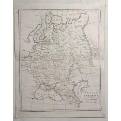
Russia Europea.
Detailed example of Bartolomeo Borghi’s 1819 engraved map of the Russian Empire in Europe. Includes Russia, Ukraine, Crimean Peninsula, Finland, Poland, Lithuania, Lat...
Place & Date: Florence, 1819
Selling price: $5
Sold in 2023
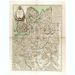
Carte générale de l'Empire de Russie comprise en Europe, pour l'intelligence de la guerre présente entre l'Impératrice de toutes les Russies et le Turc. . .
Rare and detailed two-sheet map of European Russia, Finland, Lapland and Baltic States with an ornamental title cartouche in the upper left corner. Prepared by Maurille A...
Place & Date: Paris, ca. 1820
Selling price: $1500
Sold in 2014
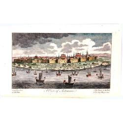
A View of Astracan.
A striking and highly detailed copper engraved panoramic view of Astrakhan,
Place & Date: London, 1820
Selling price: $21
Sold in 2016
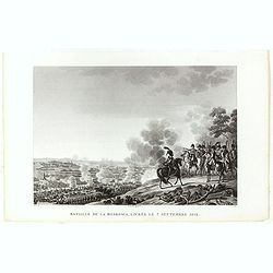
Bataille de la Moskowa, livrée le 7 septembre 1812.
Engraved plate of the battle of the Moskowa (or Borodino - 150 km from Moscow), on 7 September 1812. Napoleon is shown to the right, mounted on a white horse standing on ...
Place & Date: Paris, ca.1820
Selling price: $50
Sold in 2017
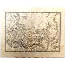
Carte Generale de la Russie d'Asie et des Regions Polaires Borleales.
Fine detailed map of Russia featuring the northern polar regions. The map comes from 'ATLAS UNIVERSEL". Original hand-colored in outline.
Place & Date: Paris, 1821
Selling price: $31
Sold in 2017
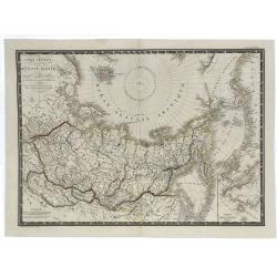
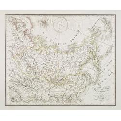
Carte Générale de la Russie d'Asie et des Regions Polaires Boreales.
A fine large-format 1821 Brué map of Russia and the Arctic Ocean featuring the North Pole at the upper centre of the map. Though not a true polar projection, it suggest...
Place & Date: Paris, 1821
Selling price: $17
Sold in 2019
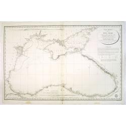
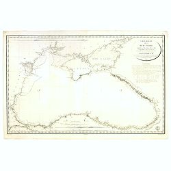
Carte réduite de la Mer Noire... Par M.Gauttier Captaine de Vaisseau secondé par M. Benoist...
Large scale chartof the Black Sea prepared by M. Gautier. Engraved by E.Collin. Stamp of the ‘ Depot General de la Marine’ at lower right corner.The chart shows sound...
Place & Date: Paris, 1822
Selling price: $300
Sold in 2013
Carte réduite de la Mer Noire... Par M.Gauttier Captaine de Vaisseau secondé par M. Benoist...
Large scale chartof the Black Sea prepared by M. Gautier. Engraved by E.Collin. Stamp of the ‘ Depot General de la Marine’ at lower right corner.The chart shows sound...
Place & Date: Paris, 1822
Selling price: $400
Sold in 2017
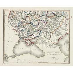
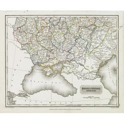
Russia in Europe south past.
Map showing the south of Russia around the Black Sea. Fine steel engraving by Sidney Hall after a drawing by A . Arrowsmith. Published by Archibald Constable
Place & Date: Edinburg, c. 1823
Selling price: $100
Sold in 2010
Russia in Europe south past.
Map sowing the area north of the Crimea region, north of the Black Sea and the Caspian Sea, including the Caucasus.
Place & Date: London, Edinburgh, 1823
Selling price: $90
Sold in 2010
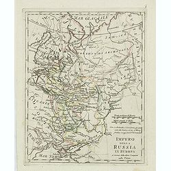
Impero della Russia in Europa. . .
Charming map of European part of Russia from the rare atlas Atlante Tascabile o sia Serie di Num. XXI Cartine Geografiche nelle quali si rappresenta in ristretto lo Stato...
Place & Date: Rome, 1823
Selling price: $100
Sold in 2011
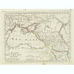
La regione del Caucaso. . .
Charming map of the region around the Black Sea from the rare atlas Atlante Tascabile o sia Serie di Num. XXI Cartine Geografiche nelle quali si rappresenta in ristretto ...
Place & Date: Rome, 1823
Selling price: $100
Sold in 2011
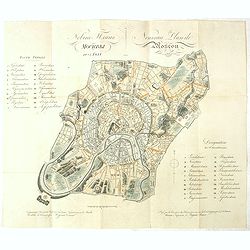
Nouveau Plan de Moscou 1825 / Dressee par la Commission des batimens pour servir au Guide du Voyageur par G.L. DeLaveau. Moscou, Imprimerie d' Auguste Semen.
This lovely rare authentic antique traveler’s folding guide of Moscow by G.L. De Laveau is dated 1824, a mere twelve years following Napoleon’s invasion, the destruct...
Place & Date: Moscow, A. Semen, 1824
Selling price: $1600
Sold in 2021
Carte des Possessions Russes.
A very significant, desirable map of Alaska still possessed by Russia. From J.A. Buchon, "Atlas Gégraphique Statistique, historique et chronologique des deux Ameriq...
Place & Date: Paris, 1825
Selling price: $250
Sold in 2012
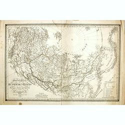
General Charte des Russischen Reichs in Europa, Asien, und America. . .
Uncommon map of Russia, prepared by C.F.Weiland. In the upper right corner the tip of Alaska Major Russian cities are underlined in orange ink lines. To the lower right a...
Place & Date: Weimar, 1825
Selling price: $360
Sold in 2014
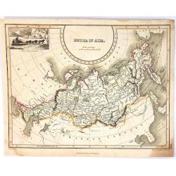
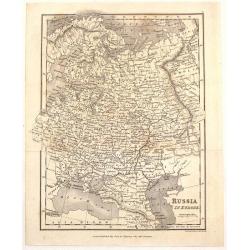
Russia in Asia
An attractive map of the eastern part of Russia. Published by Thomson in his "A GENERAL ATLAS...." in Edinburgh in 1825. The map is by James Wyld, the renowned ...
Place & Date: Edinburgh, 1825
Selling price: $20
Sold in 2016
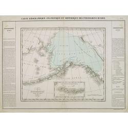
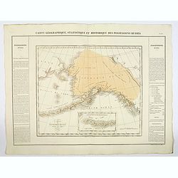
Carte Geographique, Statistique et Historique des Possessions Russes.
A very significant, desirable map of Alaska still possessed by Russia, From Buchon's Atlas Gégraphique Statistique, historique et chronologique des deux Ameriques et des...
Place & Date: Paris, 1825
Selling price: $115
Sold in 2019
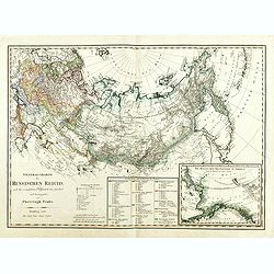
General Charte des Russischen Reichs. . .
Rare map of Russia, including Poland, Baltic, Ukraine, Siberia, Kurilles and in the lower right corner an inset map of Alaska and Bering Street. Engraved and published by...
Place & Date: Nürnberg, 1826
Selling price: $950
Sold in 2014
Province de Lithuanie contenant 15 Col. 2 M.on Prof. 2 Sém. 2 Novic. 3 Rés. Et plus de 40 Jésuites.
Rare map of Lithuania from "Atlas Universel indiquant les établissemens des Jésuites: avec la manière dont ils divisent la terre, suivi desévénemens remarquable...
Place & Date: Paris, Ambroise Dupont , 1826
Selling price: $225
Sold in 2017
Carte Générale de la Russie d'Europe, du Royaume de Pologne, des environs de Caucase et d'une partie des Pays Adjacents.
A fine large-format 1826 A. H. Brué's map of the European Russia. It shows all of Poland and extends east to the Black Sea to show all of the Crimea, and north to above ...
Place & Date: Paris, 1826
Selling price: $12
Sold in 2019
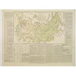
L'Empire Russe en Europe et en Asie avec ses acquisitions..
Map showing the extension of the Russian Empire at the beginning of the XIXth century. Several letterpress notations are present on the map.Surrounding letterpress explan...
Place & Date: Paris, 1827
Selling price: $80
Sold in 2009
[ Costumes des Scythes royaux ]
Aquatint depicting "Royal Scythians". Engraved by D.K. Bonatti, after drawings by A. Monticelli. Plate N° 16.From Giulio Ferrario''s work Le Cos...
Place & Date: Milan, 1827
Selling price: $30
Sold in 2009
[Femmes du Taschkent - inhabitants of Turkestan]
Aquatint engraved by D.K. Bonatti, after drawings by C. Bottigella of a family of Turkestan. Plate N° 20.From Giulio Ferrario''s work Le Costume Ancien et Moderne ou His...
Place & Date: Milan, 1827
Selling price: $40
Sold in 2009
[ Shamanes - Téleuths ].
Aquatint depicting a woman dancing around a camp fire engraved by D.K. Bonatti, after drawings by C. Bottigella of a family of Turkestan. Plate N° 27.From Giulio ...
Place & Date: Milan, 1827
Selling price: $80
Sold in 2009
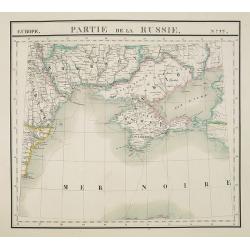
Europe. Partie de la Russie. N°22.
Detailed map of the Crimea region.From his famous Atlas Universel . This atlas was one of the most remarkable world atlases ever produced, anticipating the International ...
Place & Date: Brussels, 1825-1827
Selling price: $210
Sold in 2010
[Costume plate of warriors and a Prince of the Usden Circassiens tribe in the Caucasus ]
Aquatint costume plate of a Cabarde prince and of a Usden. The person most right presents a Khan Circassian. Plate N° 11. From Giulio Ferrario's work Le Costume ancien e...
Place & Date: Milan, 1827
Selling price: $120
Sold
[Costume plate of various Circassians classes. ]
Aquatint costume plate of various Circassians classes designed by Mr. Pelagio Palagi. The most left and right figures are two of the Kuban Circassians and the one second ...
Place & Date: Milan, 1827
Selling price: $60
Sold
[Costume plate of Circassian women from the Caucasus]
Aquatint costume plate of Circassian women from the Caucasus, designed by Mr. Pelagio Palagi. Plate N°13.From Giulio Ferrario's work Le Costume ancien et moderne ou hist...
Place & Date: Milan, 1827
Selling price: $60
Sold
[Costume plate of dancing Circassians - Caucasus]
Aquatint costume plate of dancing Circassians in the Caucasus, designed by Mr. Pelagio Palagi. Plate N°14.From Giulio Ferrario's work Le Costume ancien et moderne ou his...
Place & Date: Milan, 1827
Selling price: $120
Sold
[Costumes des Scythes - Tartarie]
Aquatint printed by D. Bonatti. After a design of A. Monticelli.Published in "Le Costume Ancien et Moderne ou Histoire du gouvernement, de la milice, de la religion,...
Place & Date: Milan, 1827
Selling price: $5
Sold in 2017
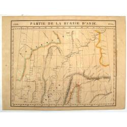
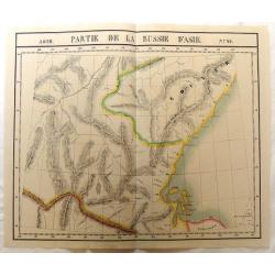
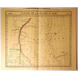
Asie, Partie de la Russie D'Asie, No. 26.
Large, hand-colored, lithographed map of the Khabarovsky Kray Oblest of Russia. Important ,as it probably was, at the time, the most detailed and largest map of this v...
Place & Date: Brusselles, 1827
Selling price: $150
Sold in 2013
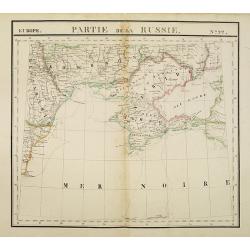
Europe. Partie de la Russie. N°22.
Detailed map of the Crimea region.From his famous Atlas Universel . This atlas was one of the most remarkable world atlases ever produced, anticipating the International ...
Place & Date: Brussels, 1825-1827
Selling price: $200
Sold in 2010
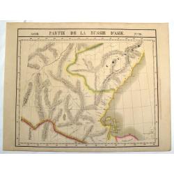
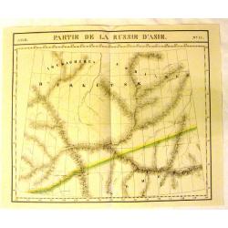
Asie, Partie de la Russie D'Asie No.24.
Large, hand-colored, lithographed map of Irkutsk and the Lake Baikal region of Russia. Important ,as it probably was, at the time, the most detailed and largest map of th...
Place & Date: Brusselles, 1827
Selling price: $150
Sold in 2013
[67 sheets - The Russian Empire in EUROPE & ASIA ]
A set of 67 maps covering the Russian Empire at time of publication. From his famous Atlas Universel . This atlas was one of the most remarkable world atlases ever produc...
Place & Date: Brussels, 1825-1827
Selling price: $4000
Sold in 2014
Mawman's Russia in Europe.
Fine little map of "Russia in Europe" published by J. Mawman & the Other Proprietors" in London in 1827. It was engraved by J. Neele.
Place & Date: London, 1827
Selling price: $26
Sold in 2015
Russia in Europe, Northern Part.
Detailed map of Northern Russia in Europe by Sidney Hall in 1827, published in London. It includes "Russian Lapland".
Place & Date: London, 1827
Selling price: $16
Sold in 2016
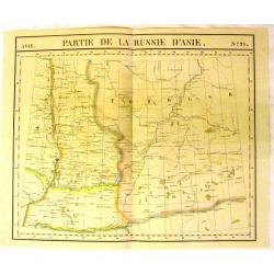
Asie, Partie de la Russie d'Asie, No.21.
Fine, large map of Russia by Philippe Vandermaelen (1795-18690, the well known Belgian geographer. It is from the Universal Atlas published in 1827.Featured is "PART...
Place & Date: Brussels, 1827
Selling price: $75
Sold in 2015
Asie, Partie de la Russie d'Asie, No.17.
Fine, large map of Russia by Philippe Vandermaelen (1795-18690, the well known Belgian geographer. It is from the Universal Atlas published in 1827.Featured is "PART...
Place & Date: Brussels, 1827
Selling price: $75
Sold in 2015
Asie, Partie de la Russie d'Asie, No.26.
Fine, large map of Russia by Philippe Vandermaelen (1795-18690, the well known Belgian geographer. It is from the Universal Atlas published in 1827.Featured is "PART...
Place & Date: Brussels, 1827
Selling price: $75
Sold in 2015
Partie de la Russie d'Asie, No. 12
From Vandemaelen’s “Atlas Universel”. This monumental work was the first atlas of the world with all maps on the same scale (about one inch to 26 miles), and the fi...
Place & Date: Brusselles, 1827
Selling price: $21
Sold in 2015
Carte de la Russie occidentale et du Royme. de Pologne par A. Brue, Geographe du Roi . . .
A large folio steel engraved map of Russia and Poland from his the Brue "Universal Atlas of physical geography, politics, ancient & modern." It shows wester...
Place & Date: Paris, 1827
Selling price: $40
Sold in 2020
Russie d'Asie. . .
Detailed map of Siberia, China and part of Alaska, prepared by A. H. Basset, rue Saint-Jacques, no. 64, Paris and published in Atlas classique et Universel de Géographie...
Place & Date: Paris, A.H. Basset, 1828
Selling price: $200
Sold in 2010
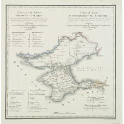
Carte générale du gouvernement de la Tauride. . .
Very rare map of Crimea with title in Russian and French from the atlas by Vasilii Petrovich PIADYSHEV [PIADISCHEFF] (1769-1836 Functionary of the 6th Rank.) : Geografice...
Place & Date: St.Petersburg, Topographic Depot, 1828
Selling price: $750
Sold in 2010
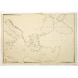
(Chart centered on the Eastern Mediterranean and Black Sea.)
Very detailed chart centered on Greece and Turkey, with the Black Sea and Southern part of Italy. Engraved by Besançon, prepared by Charles-François Beautemps-Beaupré....
Place & Date: Paris, c.1828
Selling price: $150
Sold in 2016
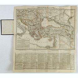
Carte du théatre de la guerre, comprenant la Turquie d'Europe et d'Asie, la Grèce entière et pays limitrophes, avec les routes. . .
Rare map of the Black Sea are, with the Caucasus, Turkey, Greece and Ukraine. Printed from two copper plates. Lower part containing "Suite de la description des prov...
Place & Date: Paris, H. Langlois, fils, 1828
Selling price: $280
Sold in 2020
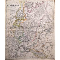
Charte von dem Europaeisch-Russischen Reiche...
Highly detailed map of Eastern Europe, from Finland to the Caspian Sea, centered on Moscow. Includes the Baltic's and the Ukraine. With a legend indicating the number of ...
Place & Date: Leipzig, 1829
Selling price: $56
Sold in 2014
[No title] Russland. Gouv. 31. Taurien und 31a das Land der Tschernomorkischen Kosaken.
Map depict the area north of the Black Sea, including the sea of Azov and the cities of Akhmetschet, Kaffa, Jekaterinodar, Kherson, etc.From "W. E. A. von Schliebens...
Place & Date: Leipzig, G. J. Göschen, ca 1825-1830
Selling price: $220
Sold in 2013
[No title, showing Minsk, Sloutsk, Mozouir, Ghorodnia, Starodoub, Klimovitschi,. . .]
Very detailed map of part of Russia, including the cities of Minsk, Sloutsk, Mozouir, Ghorodnia, Starodoub, Klimovitschi. . . Scale 1: 500.000
Place & Date: France, c.1830
Selling price: $120
Sold in 2011
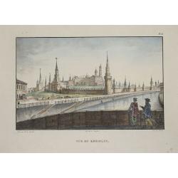
Vue du Kremlin.
Lithography showing the Kremlin in Moscow.
Place & Date: Paris, 1830
Selling price: $100
Sold in 2014
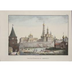
Vue intérieure du Kremlin.
Lithographie shows the Kremlin in Moscow.
Place & Date: Paris, 1830
Selling price: $100
Sold in 2014
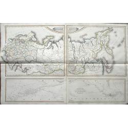
Russian Empire / Chart of the communication between the archipelago and Black Sea.
Large 2-sheet map (from 4 plates) of the Russian Empire, pubslished by Daniel Lizars son, William Hole Lizars. The unusual map shows Russia in great detail with many plac...
Place & Date: Edinburgh, ca 1830
Selling price: $35
Sold in 2019
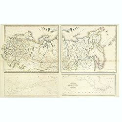
Russian empire. / Chart of the communication between the archipelago and black sea.
Printed on 2 sheets, each sheet has two maps printed from different copper plates. The lower map at 1:400,000 scale and includes northern part of the Black Sea with, Hell...
Place & Date: Edinburg, 1831
Selling price: $400
Sold in 2014
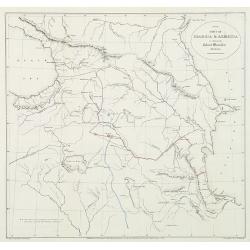
Part of Georgia & Armenia to illustrate Colonel Monteith's journal.
Uncommon map of the Caucasus of Monteith's who was a British Army colonel's travels at a time of Russian expansion in the region. Showing the Black Sea to the Caspian sea...
Place & Date: London, 1833
Selling price: $250
Sold in 2010
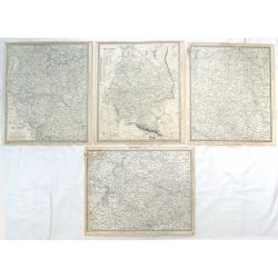
( 4 Large Maps ) Russia in Europe, Parts IV, V, VI & X.
Four maps featuring section (IV, V, VI & X) of "Russia in Europe" by S.D.U.K. and engraved by J & C Walker. Published by Baldwin & Craddock in Londo...
Place & Date: London, 1834
Selling price: $12
Sold in 2018
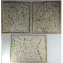
Three S.D.U.K. Maps - Russia II, Russia V & Russia VI
Three detailed maps of Russia by S.D.U.K. published in London in 1835 by Chapman & Hall. “Russia II” covers Olonetz, Iaroslav, Arkhangel, Vologda, Viarka & Pe...
Place & Date: London, 1835
Selling price: $24
Sold in 2016
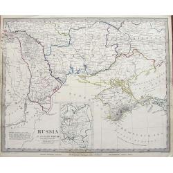
Russia in Europe Part VIII.
An early example of this interesting large scale map. Shows a part of the Black Sea with the Crimea, the Danube Delta, parts of Romania, Moldova, and the Ukraine. Include...
Place & Date: London, 1835
Selling price: $8
Sold in 2019
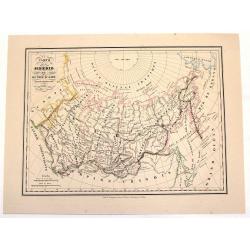
Carte de la Siberie ou Russie D'Asie.
An interesting hand-colored, lithograph map of Siberia from the Brussels edition of Malte-Brun's "Atlas Complet." The way that the provinces or Oblasts are diff...
Place & Date: Brusselles, 1836
Selling price: $90
Sold in 2013
Russia Europa.
Pleasing map of Russia with three pertinant flags. Includes Russian flag as well as flags of war and mercantile marine. The flags covers Russia, poland, Lithuania, Estoni...
Place & Date: Florence, 1838
Selling price: $90
Sold in 2013
Tour d'Observation et siège de police dans la grande Morskoi. (2 Juillet 1839).
A view of Observation Tower and police headquarters in the Morskoi in Saint Petersburg on August 9 1839. Plate taken from the first illustrated account of Russian archite...
Place & Date: Paris, 1840
Selling price: $250
Sold in 2013
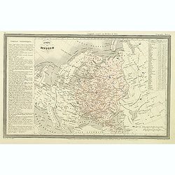
Empire de Russie.
Finely engraved map of Russia prepared by A.H.Dufour and engraved by Giraldon-Bovinet. Published by Jules Renouard in his uncommon atlas "Le globe Atlas classique Un...
Place & Date: Paris, Jules Renouard, ca.1840
Selling price: $40
Sold in 2012
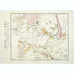
Sketch, to serve as a Basis for a Geological Map of European Russia, colored to show the connections of its Strata with those of the Surrounding Countries.
Uncommon geological map of Russia. Lithographed by B.R.Baker and printed by C.Hullmandel. From "Transactions of the Geographical Society".' With color key to th...
Place & Date: Transactions of the Geological Society c. 1840
Selling price: $100
Sold in 2011
Carte pour l'intelligence du journal d'une résidence en Circassie during the years 1837, 1838 and 1839.
Map of Circassia prepared by James Stanislaus Bell. Engraved by Barriére, 57 rue de la Harpe, Paris. James Stanislaus Bell was a British merchant. In his work Journal of...
Place & Date: Paris, Arthus Bertrand, after 1840
Selling price: $70
Sold in 2013
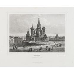
Moscou (Vue de la Basilique St. Basile).
View of the St. Basil Basilica in Moscow. Engraved by Rouargue.Also called the Cathedral of Saint Basil the Blessed, this basilica is a multi-tented church on the Red Squ...
Place & Date: Paris, 1842
Selling price: $100
Sold in 2009
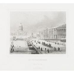
St. Pétersbourg.
View of St. Petersburg during winter time, with in background St Isaac's Square with Saint Isaac's Cathedral or Isaakievskiy Sobor. It was the largest cathedral (sobor) i...
Place & Date: Paris, 1842
Selling price: $100
Sold in 2009
Plan von St. Petersburg.
Bird's-eye view of St. Petersburg with 18 engraved vignettes of buildings throughout the great city. The map and bridge view are from the 1834 map by the Society for the ...
Place & Date: Amsterdam, Paris, and Philadelphia, 1844
Selling price: $300
Sold
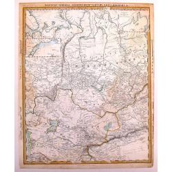
Western Siberia, Independent Tartary , Khivam, Bokhara, etc.
Detailed map of a little explored region of Russia. From the Russian Lapland to Bokhara and from the Caspian Sea to Yeniseisk. Insert Maps of nova Zemblia and Yeniseisk....
Place & Date: London, 1844
Selling price: $35
Sold in 2014
Entrée Méridionale et Tour dite des Saints.
A view of Troïtza Monastery near Moscow. Raffet lithographs figures. Plate taken from the first illustrated account of Russian architecture. This publication was the pro...
Place & Date: Paris, 1844
Selling price: $90
Sold
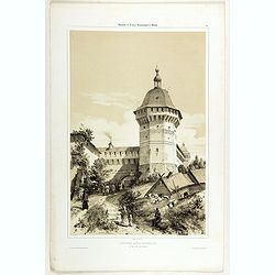
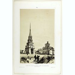
Ruines du Palais Tartare et Tour de Soumbecka intérieur de la Forteresse.
A view of the Tartar Palace's ruins and Soumbecka's tower in Kazan in southwest Russia, on the banks of the Volga and Kazanka rivers. Figures are lithographed by Raffet. ...
Place & Date: Paris, 1844
Selling price: $180
Sold in 2019
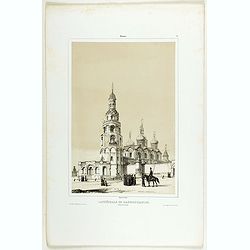
Cathédrale de l'Annonciation ( Blakovestchensky).
A view of l'Annonciation cathedral. Figures are lithographed by Raffet. Plate taken from the first illustrated account of Russian architecture. This publication was the p...
Place & Date: Paris, 1844
Selling price: $100
Sold in 2019
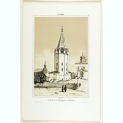
Tour de la Cathédrale d'Ouspensky.
A view of Ouspensky's cathedral. Figures are lithographed by Raffet. Plate taken from the first illustrated account of Russian architecture. This publication was the proj...
Place & Date: Paris, 1844
Selling price: $150
Sold
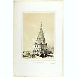
Dôme de Nikolskoï dans le Gastinnoï-dwor, (Grand Bazar).
A view of the Dome of Nikolskoï. Figures are lithographed by Raffet. Plate taken from the first illustrated account of Russian architecture. This publication was the pro...
Place & Date: Paris, 1844
Selling price: $115
Sold in 2019
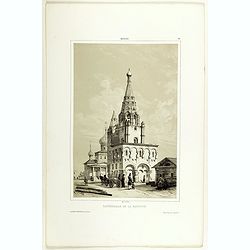
Cathédrale de la Nativite.
A view of the Nativité Cathedral. Figures are lithographed by Raffet. Plate was taken from the first illustrated account of Russian architecture. This publication was th...
Place & Date: Paris, 1844
Selling price: $50
Sold in 2022
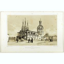
Monastère de Saint-Jean-Baptiste.
A view of Saint-Jean-Baptiste monastery, the 15 of September 1839. Figures are lithographed by Raffet. Plate taken from the first illustrated account of Russian architect...
Place & Date: Paris, 1844
Selling price: $120
Sold
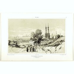
Vue de Nijni-Novgorod et du Monastère de l'annonciation.
A view of Nijni-Novgorod village, the 2 of September 1839. Figures are lithographed by Raffet. Plate taken from the first illustrated account of Russian architecture. Thi...
Place & Date: Paris, 1844
Selling price: $160
Sold in 2019
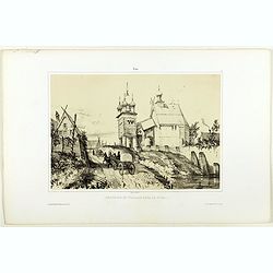
Chappelle et village de Tver.
A view of Tver village. Figures are lithographed by Raffet. Plate taken from the first illustrated account of Russian architecture. This publication was the project of Co...
Place & Date: Paris, 1844
Selling price: $90
Sold in 2019
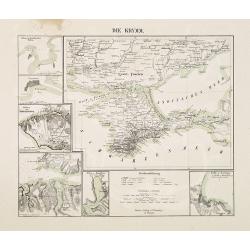
Die Krymm.
Uncommon map of Crimea and the area south of the Dnieper. Surrounded by six detailed inset plans of harbor towns (Sevastopol, Balaklava, Feodosia, etc) and a scale.
Place & Date: Glogau, 1845
Selling price: $105
Sold in 2010
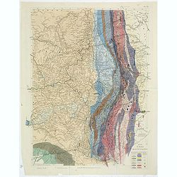
The Ural Mountains. Pl.VII.
A soil map of the Ural Mountains, with a color key in lower right corner. With very delicate original hand coloring.
Place & Date: London,1845
Selling price: $90
Sold in 2011
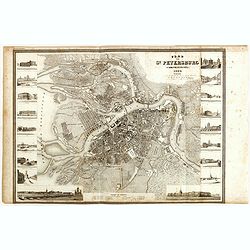
Plan von St. Petersburg.
Detailed plan of St. Petersburg features engraved vignettes of buildings throughout the great city, including a hospital, theater, library, bank, and churches. The title ...
Place & Date: Hildburghausen, 1845
Selling price: $250
Sold in 2015
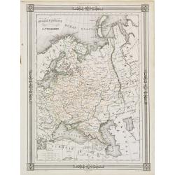
Russie d'Europe..
"Decorative map of Russia, prepared by J.G.Barbié du Bocage.Engraved by Ch.Smith, published by Basset who was established in Paris, rue de Seine 33. From ...
Place & Date: Paris 1846
Selling price: $10
Sold


![[ Costumes des Scythes royaux ]](/uploads/cache/24476-250x250.jpg)
![[Femmes du Taschkent - inhabitants of Turkestan]](/uploads/cache/24479-250x250.jpg)
![[ Shamanes - Téleuths ].](/uploads/cache/25819-250x250.jpg)
![[Costume plate of warriors and a Prince of the Usden Circassiens tribe in the Caucasus ]](/uploads/cache/62340-250x250.jpg)
![[Costume plate of various Circassians classes. ]](/uploads/cache/62341-250x250.jpg)
![[Costume plate of Circassian women from the Caucasus]](/uploads/cache/62342-250x250.jpg)
![[Costume plate of dancing Circassians - Caucasus]](/uploads/cache/62343-250x250.jpg)
![[Costumes des Scythes - Tartarie]](/uploads/cache/62345-250x250.jpg)
![[67 sheets - The Russian Empire in EUROPE & ASIA ]](/uploads/cache/35290-250x250.jpg)


![[No title] Russland. Gouv. 31. Taurien und 31a das Land der Tschernomorkischen Kosaken.](/uploads/cache/28947-250x250.jpg)
![[No title, showing Minsk, Sloutsk, Mozouir, Ghorodnia, Starodoub, Klimovitschi,. . .]](/uploads/cache/30616-250x250.jpg)
