Browse Listings in Europe > Russia / Baltic / Black Sea region
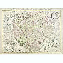
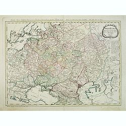
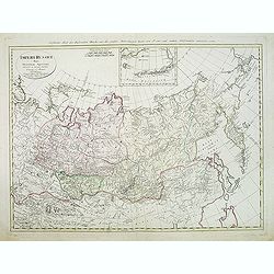
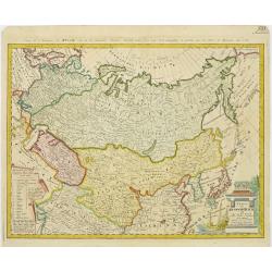
Charte das Russische Reich und die von den Tatarn..
Map showing the 'Russian Tartary' and as well the 'Asian Tartary', with French title in top.Title cartouche in the lower right corner and a table of explanations relating...
Place & Date: Nuremberg, 1786
Selling price: $350
Sold in 2009
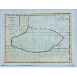
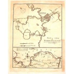
Plan du Canal de Wischnei-Wolotschok / Canal de Ladoga.
Two plans or maps on one page. The Canal Wischnei joins the Caspian and Baltic Seas. These canals are in European Russia.The map was engraved by Clauser and published by ...
Place & Date: Geneva, 1786
Selling price: $75
Sold in 2015
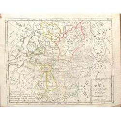
La Russie D'Europe, Divisee par Gouvernemens.
An interesting Russian map divided into its various provinces or oblasts. Note that Lapland was part of Russia at that time.The engraver was De La Porte and the map was p...
Place & Date: Paris, 1786
Selling price: $11
Sold in 2016
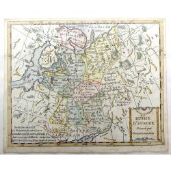
La Russie d'Europe, Divisee par Gouvernemens.
A map of Russia in Europe divided into its various provinces. Interestingly, the map shows Lapland as being governed by Russia. Includes Lithuania and Estonia.
Place & Date: Paris, 1786
Selling price: $16
Sold in 2016
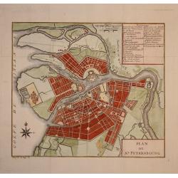
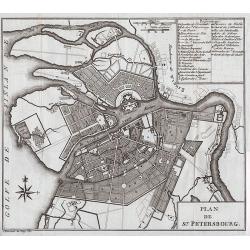
Plan de St. Petersbourg.
Nice town-plan of st. Petersburg.
Place & Date: Paris, 1787
Selling price: $300
Sold in 2009
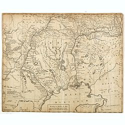
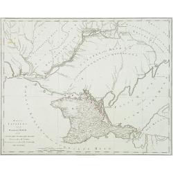
Karte TAURIENS oder der HALBINSEL KRIM und der WESTLICHEN NOGAYISCHEN TATAREI. . .
Map of the region north east of the Black sea, prepared by I.F.Schmid. Scale 1 : 900.000. Map 92 from this uncompleted Atlas by F.A.Schramble. With mileage in German (geo...
Place & Date: Vienna, 1787
Selling price: $600
Sold in 2010
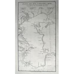
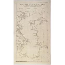
Karte Von Dem Caspischen Meer...
Excellent large-scale chart of the Caspian Sea, showing the harbors of Baku and Astrakan. Further with many towns, bays, small islands and peninsulas. After Johann Anto...
Place & Date: Vienna, 1787
Selling price: $120
Sold in 2011
Plan de St. Petersbourg
A folding map of Saint Petersburg, from Voyage en Pologne, Russie, Suède, Danemark, &c. published by Barde, Manget & Cie.
Place & Date: Geneva, 1787
Selling price: $160
Sold in 2012
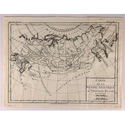
Carte de la Russie Asiatique ou Tartatie Russe.
A map of Asian Russia stretching from the Urals to the Pacific Ocean, divided into its various Provinces. From L’HISTOIRE DE RUSSE.Louis Brion de la Tour, (1743 – 180...
Place & Date: Paris, 1787
Selling price: $15
Sold in 2018
Karte Von Dem Caspischen Meer.
A simple chart of the Caspian Sea showing the harbours of Astrakan and Baku. Engraved by Johann Anton Guldenstadt od Riga, and published by Schraembl in 1787, and was in...
Place & Date: Vienna, 1787
Selling price: $25
Sold in 2020
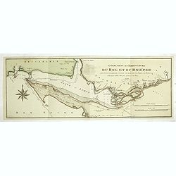
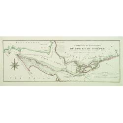
Confluent et Embouchure du Bog et du Dniéper..
Showing the mouth of the river Dnieper and the Black Sea, with border lines for the year 1787 and 1788 during the Russian, Turkish War.
Place & Date: Vienna, c.1788
Selling price: $300
Sold
Kriegstheater oder graenzkarte Oestereichs, Russland,. . .
Uncommon map of the northern part of Turkey, Sea of Marmora, Black Sea, Hungary, Bosnia, Serbia and Caucasus.The map is in contemp. color, each color indicating the posse...
Place & Date: Vienna, 1788
Selling price: $1000
Sold in 2009
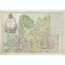
Carte générale de l'Empire de Russie comprise en Europe, pour l'intelligence de la guerre présente entre l'Impératrice de toutes les Russies et le Turc. . .
Uncommon and detailed map of the northern part of European Russia, Finland and Lapland with an ornamental title cartouche in the upper left corner. Prepared by Maurille A...
Place & Date: Paris, 1788
Selling price: $300
Sold in 2011
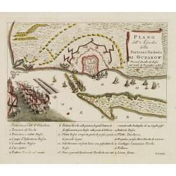
Piano dell'Assedio della Fortezza Turchesca di Oczakow : presa d'Assalto da' Russi nel mese di Decembre 1788.
Plan of Ochakiv (Ukraine) published by Antonio Zatta. Below the engraving (151x243mm.) is a numbered key, 1-19 showing the points of interest to this siege of Ochavik by ...
Place & Date: Venice, after 1788
Selling price: $650
Sold in 2012
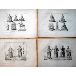
Set of 9 plates from \"Voyage de Pallas\".
An interesting collection of nine rare copper engraved plates with Russian and Mongolian people, gods, and costumes. Engraved by N. Thomas: "Femmes Mordouanes d...
Place & Date: Paris, c1788
Selling price: $150
Sold in 2013
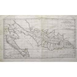
Route de M. de Lesseps,... dans la presqu\'île de Kamtschatka...
Rare and important map of Kamchatka. Shows the Peninsula with new discoveries. Many place names and rivers named. Jean-Baptiste Barthélemy de Lesseps was a translator o...
Place & Date: Paris, c1788
Selling price: $100
Sold in 2015
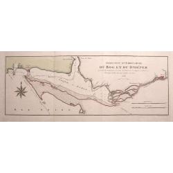
Confluent et Embouchure du Bog et du Dniéper. . .
Rare chart of the mouth of the Dnieper River into the Black Sea. Locates Kherson (Cherson) and Otchakof (Ochakiv). With many depth soundings.We were unable to identify th...
Place & Date: Vienna, 1788
Selling price: $175
Sold in 2015
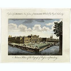
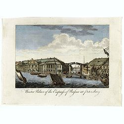
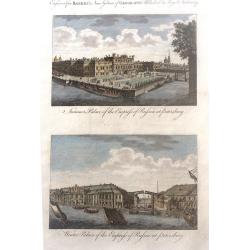
Summer Palace of the Empress of Russia at Petersburg and Winter Palace of the Empress of Russia at Petersburg
Two beautiul Russian scenes - "Summer Palace of the Empress of Russia at Petersburg" and "Winter Palace of the Empress of Russia at Petersburg", by an...
Place & Date: London, 1788
Selling price: $19
Sold in 2017
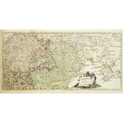
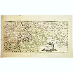
[2 sheets] Carte de Moscovie...
Dezauche's large two sheet map, based on the earlier map by de Lisle, of western Russia from Lapland, and the White sea in the north, to the Sea of Azov, and the Crimea i...
Place & Date: Amsterdam, ca. 1788
Selling price: $276
Sold in 2017
Plan de la Baye d'Awatska sur la Cote du Kamschatka
An interesting map of several countries along the east coast of Asia.
Place & Date: Paris, 1788
Selling price: $15
Sold in 2020
Summer Palace of the Empress of Russia at Petersburg.
Showing the "Summer Palace of the Empress of Russia at Petersburg". Published in Thomas Bankes's “New System of Universal Geography”
Place & Date: London, 1788
Selling price: $15
Sold in 2018
Winter Palace of the Empress of Russia at Petersburg.
Showing the "Winter Palace of the Empress of Russia at Petersburg". Published in Thomas Bankes's “New System of Universal Geography”.
Place & Date: London, 1788
Selling price: $15
Sold in 2018
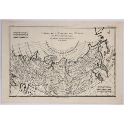
Carte de L'Empire de Russie.
A fine map of the empire of Russia by Bonne published in Paris in 1788. It embraced both Russia in Europe and Russia in Asia. Rigobert Bonne (1727-1795) was one of the mo...
Place & Date: Paris, 1788
Selling price: $17
Sold in 2019
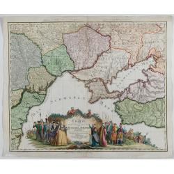
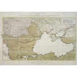
Charte von den oberhalb und seitwärts dem Schwarzen Meere gelegenen Russischen und Türkischen Ländern …
Very rare and detailed map of the black sea region, including parts of Ukraine, Turkey and Poland. In the lower part, a color key. Beautiful tittle cartouche with Empress...
Place & Date: Berlin, 1788
Selling price: $1500
Sold in 2023
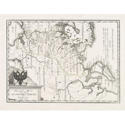
General = Karte von dem Russischen Reiche in Europa Nr. 60
Map of the European part of Russia, with a nice representation of coat of arms. Published by Franz Johann Joseph von Reilly, 1766-1820, who was a Viennese art dealer who ...
Place & Date: Vienna, 1789
Selling price: $75
Sold in 2009
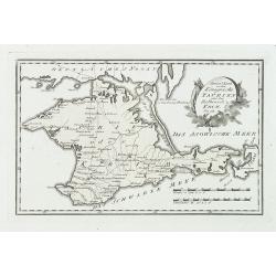
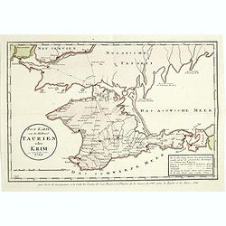
Special karte von dem königreiche Taurien oder der Haldinsel Krim. Nro. 61.
Clear engraving of Crimea, from Reilly's Postal Atlas, 1791. Including the cities of Praghtschisarai, Theodosia. The post road mapspost routes are indicated.
Place & Date: Vienna, 1789
Selling price: $200
Sold in 2018
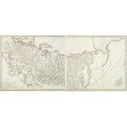
Carte de l'Empire de Russie. (2 maps)
Detailed map of Russia in two sheets, published at the outbreak of the French Revolution. Taken from the Atlas Géographique, published by Jean-Claude Dezauche (active 17...
Place & Date: Paris, c. 1789
Selling price: $800
Sold in 2014
Schauplatz des Türkenkriegs von MDCCLXXXIX.
Map showing the region of the east of Europe including Crimea, Romania, Moldova, Hungary, Serbia. Nice cartouche, rare map.
Place & Date: Germany, 1789
Selling price: $950
Sold in 2010
Schauplatz des Türkenkriegs von MDCCLXXXIX.
Map showing the War scene region if the east of Europe including Crimea, Romania, Moldova, Hungary, Serbia during the year 1789 when the Austrians capture Belgrade from t...
Place & Date: Austria, ca.1789
Selling price: $1000
Sold in 2012
Post Karte von der Halbinsel Taurien oder Krim 1788.
Detailed map of the Crimean Island. Prepared by François Joseph Maire (Vienna, 1738 - c.1800). F.J. Maire was a publisher, geographer and engineer active in Vienna. He p...
Place & Date: Vienna, 1788-1789
Selling price: $450
Sold in 2014
Confluent et embouchure du Bog et du Dniéper.
Detailed map of the mouth of the river Dnieper and the Black Sea, with border lines for the year 1787 and 1788 during the Russian, Turkish War. Prepared by François Jose...
Place & Date: Vienna, 1788-1789
Selling price: $350
Sold in 2014
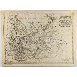
I Governi D'Arcangelo e Bielo-Ozero. . .
An unusual Vincenzo Pazzini Carli's copper engraved map of northern part of Russia in Europe, published in 1789. The map is filled with excellent topographic detail and ...
Place & Date: Rome, 1789
Selling price: $1
Sold in 2021
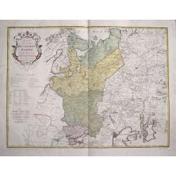
Des Russischen Reiches Statthalterschaften Pleskow, Polozk, Mohilew, Twer, Moskau, Koluga, Wolodimer, Iaroslaw, Tula, Smo, Lensko und Nischgorod. Nro.64
A map of the European part of Russia, that is centered on Moscow. Published by Franz Johann Joseph von Reilly, (1766-1820), who was a Viennese art dealer, who turned to m...
Place & Date: Vienna, 1789
Selling price: $17
Sold in 2021
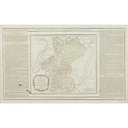
La Russie Européenne Conformément à l'Atlas de cet Empire. . .
Attractive map of the European part of Russia. Decorated with a title cartouche in the lower left corner.The map is flanked by two columns of French text containing geogr...
Place & Date: Paris, 1790
Selling price: $100
Sold in 2009
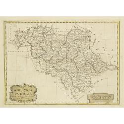
La Wolhynia e la Podolia divise ne' loro Palatinati.
From "Atlante geografico" by Bartolomeo Borghi (1750-1821), published in Sienna 1788-1800.
Place & Date: Siena, Presso Pazzini Carli, 1790
Selling price: $140
Sold in 2010
Plan de Kronstadt.
Map shows a city map of Kronstadt.
Place & Date: Paris, 1790
Selling price: $120
Sold in 2014
L'Imperio Della Gran Russia.
Striking and highly detailed unusual copper engraved map of the European Russian empire. The map provides several topographic details concerning cities, towns, rivers, la...
Place & Date: Paris, 1790
Selling price: $99
Sold in 2015
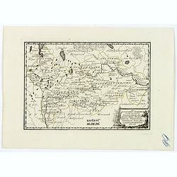
Mappa gubernii Orelensis.
Highly detailed rare map covering the area of the Oryol Oblast in Russia, south of Moscow.The map is a result of a new survey of Russia done in the first years of the rei...
Place & Date: St Petersburg, 1750-1790
Selling price: $700
Sold in 2016
Map of the Steppe between the Lower Volga and the Don, where the Caspian Sea was formerly united with that of Azof.
A Russian map showing the rivers Don and lower Volga flowing into the Caspian Sea. Many other small rivers and tributaries are engraved, along with places and salt lakes ...
Place & Date: London, ca 1790
Selling price: $7
Sold in 2020
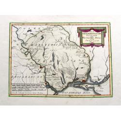
Die Otschakowische Tartarey oder Westliches Nogaj, auch Jedisan. Nro 12.
A map of the Ukraine, between the Bug River and the Dniestr River, and Yeni Duni (todays Odessa) on the Black Sea, Ochakiv also known as Ochakov, Palance and Bender in Mo...
Place & Date: Vienna, 1790
Selling price: $86
Sold in 2019
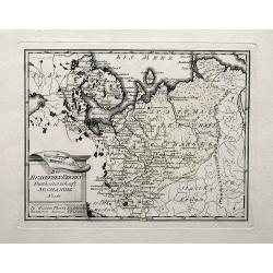
Des Russischen Reiches Statthalterschaft Archangel Nro. 66.
A map of a part of Russia with Arkhangelsk, the Kola peninsula, and the White Sea. Extends south until Wologda and todays Jaroslawl. With rivers, mountains, lakes, etc.
Place & Date: Vienna, 1790
Selling price: $32
Sold in 2019
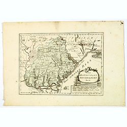
Die Landschaft Bessarabien.
A map of southwestern corner of Ukraine, bordering on the Black Sea, from Izmail on the Danube in the south, to Bender in Transnistria in the north. Larger towns and citi...
Place & Date: Vienna, 1790
Selling price: $11
Sold in 2021
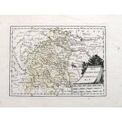
Die Landschaft Bukowina Nro. 8.
A fine map of the Bukovina (Bukowina, Bucovina), a region in todays Romania and Ukraine that until WWI was the easternmost province of the Austrian Empire. Shows Chotyn (...
Place & Date: Vienna, 1790
Selling price: $28
Sold in 2019
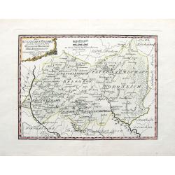
Des Russischen Reiches statthalterschaften Woronesch, Belgorod, Kiow o. Kleinrussland und Charkow od. d. Prussische Ukraine. Nro. 63.
A map of a part of the Ukraine and Russia, with Kiev, Luhansk, Charkow, Belgorod, and Voronezh. Richly detailed with many smaller towns in between. Also the Dniepr, Donez...
Place & Date: Vienna, 1790
Selling price: $38
Sold in 2019
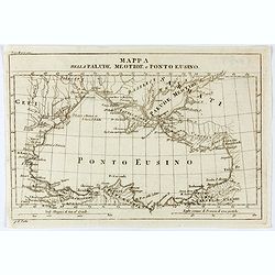
Mappa della Palude Meotide e Ponto Eusino.
An uncommon map of the Black and Azof Seas in the Crimea. Probably from Barthelemy Jean Jacques, Viaggio d'Anacarsi il giovine nella Grecia, 1791, Antonio Zatta e figli, ...
Place & Date: Venice, 1791
Selling price: $30
Sold
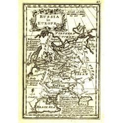
Russia in Europe.
Uncommon miniature map from Gibson's "Atlas Minimus, or a New Set of Pocket Maps of the several Empires, Kingdoms and States of the known World".
Place & Date: London, 1792
Selling price: $40
Sold in 2011
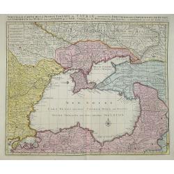
Nouvelle carte de la petite Tartarie ou Taurie, montrant les frontiers de l\'imperatrice de Russie et l\'empereur des Turcs, tant en Europe qu\'en Asie. by J B Elwe....
J B Elwe This map shows the region of the Black Sea surrounded by Russia, Bulgaria, Poland, and Turkey.
Place & Date: Amsterdam, 1792
Selling price: $475
Sold in 2011
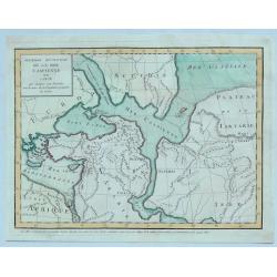
Premiere Revolution de la Mer Caspiernne. . .
One of four maps of the Caspian Sea by Delisle in 1792. This map represents an early period in which the Caspian sea was connected to other known Asiatic waters including...
Place & Date: Paris, 1792
Selling price: $17
Sold in 2023
Seconde Revolution de la Mer Caspienne. . .
This map depicts the Caspian Sea according to 2nd century BC Alexandrian geographer Claudius Ptolemy. This map depicts the Caspian Sea surrounded by the coasts of Persia,...
Place & Date: Paris, 1792
Selling price: $1
Sold in 2023
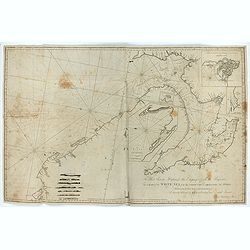
To Her Serene Highness the Empress of all the Russias, This Chart of the White Sea from the North Cape to Archangel and Onega ..
Rare chart dedicated to Catherine II (1729-1796). The chart consists of several inset charts: 1. "A Chart of the River Dwina to Archangel. The Depth of Water in Fe...
Place & Date: London, 1792
Selling price: $210
Sold in 2023
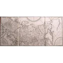
Carte générale de l\'empire de Russie 1787.
Monumental map of Russia. One of the largest maps of the 18th century! Extends from Moscow until Kamtschatka and the border to China. Includes a small part of Alaska. Pub...
Place & Date: Paris, 1793
Selling price: $400
Sold in 2014
Imperium Russicum, cum regionibus adiacentibus duabus Tabulis ex optima quae A. 1784 tribus foliis comparavit Mappa geographica, aliisque subsidiis delineatum a C. Mannert, Tabula Ima. . .
A detailed map of the European part of the Russian Empire. Scarce map. Copper etching by C. Mannert and edited by Adam Gottlieb Schneider and Johann Christoph Weigel. Man...
Place & Date: Nuremberg, 1794
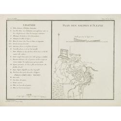
Plan des salines d'Jlezki.
Map from a second French edition of Peter Simon Pallas' Voyages du Professeur Pallas, dans Plusieurs Provinces de l'Empire de Russie et dans l'Asie Septentrionale, engrav...
Place & Date: Paris, Maradan, 1794
Selling price: $40
Sold in 2010
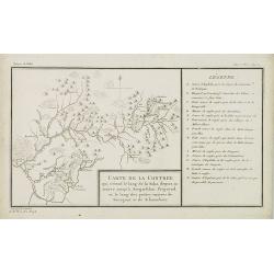
Carte de la contrée qui s'étend le long de la Soka. . .rivieres de Sourgout et de Schoumbout.
Map from a second French edition of Peter Simon Pallas' Voyages du Professeur Pallas, dans Plusieurs Provinces de l'Empire de Russie et dans l'Asie Septentrionale, engrav...
Place & Date: Paris, Maradan, 1794
Selling price: $50
Sold in 2010
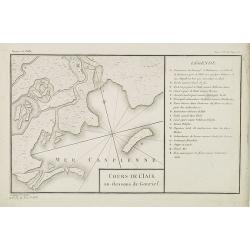
Cours de l'Iaik au dessous de Gourief.
Engraved map of the estuary of the river Ural south of Gurjev. Map from a second French edition of Peter Simon Pallas' Voyages du Professeur Pallas, dans Plusieurs Provin...
Place & Date: Paris, Maradan, 1794
Selling price: $60
Sold in 2010
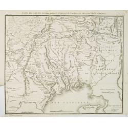
Carte des Landes situées entre le Volga et l'Oural, et des contrées voisines.
Map of the north of the Caspian sea, including Astrakhan, Orenburg, etc. Map from a second French edition of Peter Simon Pallas' Voyages du Professeur Pallas, dans Plusie...
Place & Date: Paris, Maradan, 1794
Selling price: $100
Sold in 2010
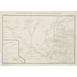
Carte des Monts Altaisk et des deserts salins qui avoisinent.
Map of the Altai Mountains in Central Russia, from a second French edition of Peter Simon Pallas' Voyages du Professeur Pallas, dans Plusieurs Provinces de l'Empire de Ru...
Place & Date: Paris, Maradan, 1794
Selling price: $85
Sold in 2010
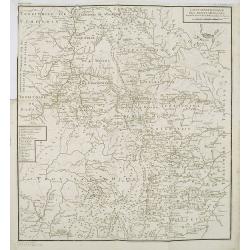
Carte des colonies Allemandes établies sur le Volga dans le territoire de Saratof.
Map of south west of Russia around Saratof. Map from a second French edition of Peter Simon Pallas' Voyages du Professeur Pallas, dans Plusieurs Provinces de l'Empire de ...
Place & Date: Paris, Maradan, 1794
Selling price: $85
Sold in 2010
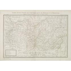
Carte d'une partie des gouvernemens de Tobolsk et d'Irkoutsk. . .
Map of the region around Lake Baikal. Map from a second French edition of Peter Simon Pallas' Voyages du Professeur Pallas, dans Plusieurs Provinces de l'Empire de Russie...
Place & Date: Paris, Maradan, 1794
Selling price: $95
Sold in 2010
Carte mineralogique des Monts Ouralsks depuis la source de la Bielaia jusqu'à la Sosva.
Map from a second French edition of Peter Simon Pallas' Voyages du Professeur Pallas, dans Plusieurs Provinces de l'Empire de Russie et dans l'Asie Septentrionale, engrav...
Place & Date: Paris, Maradan, 1794
Selling price: $100
Sold in 2010
10 engravings of architecture prints : Ancien batiment à Bolgari, et Monnoies. . .
10 Engravings of buildings and structures in Russia from a second French edition of Peter Simon Pallas' Voyages du Professeur Pallas, dans Plusieurs Provinces de l’Empi...
Place & Date: Paris, Maradan, 1794
Selling price: $100
Sold in 2010
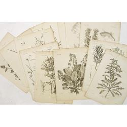
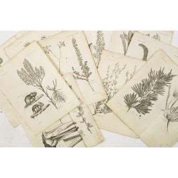
12 engravings of botanical prints : pyrus salicifolia. . .
12 Engravings from a second French edition of Peter Simon Pallas' Voyages du Professeur Pallas, dans Plusieurs Provinces de l’Empire de Russie et dans l’Asie Septentr...
Place & Date: Paris, Maradan, 1794
Selling price: $100
Sold in 2019
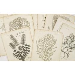
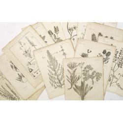
12 engravings of botanical prints: Hedisarum grandiflorum. . .
12 Botanical engravings from the second French edition of Peter Simon Pallas' Voyages du Professeur Pallas, dans Plusieurs Provinces de l’Empire de Russie et dans l’A...
Place & Date: Paris, Maradan, 1794
Selling price: $80
Sold in 2018
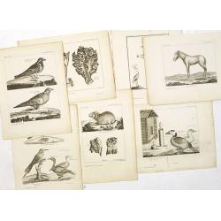
7 animals engravings prints : Alauda tatarica. . .,cheval sauvage, piège pour les oiseaux, lepus alpinus. . .,grue blanche. . .,fringilla calcarata, fourneau pour la préparation des cuirs. . .,
7 engravings from a second French edition of Peter Simon Pallas' Voyages du Professeur Pallas, dans Plusieurs Provinces de l’Empire de Russie et dans l’Asie Septentri...
Place & Date: Paris, Maradan, 1794
Selling price: $70
Sold in 2015
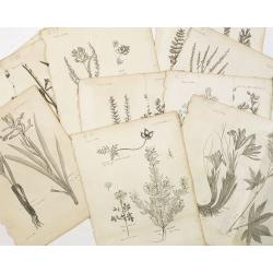
10 engraving of botanical prints : astragalus melilotoides. . .
10 Engravings from a second French edition of Peter Simon Pallas' Voyages du Professeur Pallas, dans Plusieurs Provinces de l’Empire de Russie et dans l’Asie Septentr...
Place & Date: Paris, Maradan, 1794
Selling price: $100
Sold in 2015
9 engravings of botanical prints: Cucubalus fruticosus. . .
9 Engravings from a second French edition of Peter Simon Pallas' Voyages du Professeur Pallas, dans Plusieurs Provinces de l’Empire de Russie et dans l’Asie Septentri...
Place & Date: Paris, Maradan, 1794
Selling price: $25
Sold in 2022
Imperium Russicum, cum regionibus adiacentibus duabus Tabulis ex optima quae A. 1784 tribus foliis comparavit Mappa geographica, aliisque subsidiis delineatum a C. Mannert, Tabula Ima. . .
A detailed map of the European part of the Russian Empire. Very rare map. Copper etching by C. Mannert and edited by Adam Gottlieb Schneider and Johann Christoph Weigel. ...
Place & Date: Nuremberg, 1794
Selling price: $800
Sold in 2011
Imperii Russici Pars Orientem Spectans Tab. II da. ex optimis subsidiis delineata a. C. Mannert Norimberge Prostat in Officina A. G. Schneideriana. . .
The Russian empire eastward from the Dvina River, indicating some still unexplored coastlines in Nova Zemlya and northeastern Siberia. Includes an inset with a portion of...
Place & Date: Nurnburg, 1794
Selling price: $800
Sold in 2011
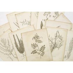
12 engravings of botanical prints : astragalus dasyanthus. . .
12 Engravings from a second French edition of Peter Simon Pallas' Voyages du Professeur Pallas, dans Plusieurs Provinces de l’Empire de Russie et dans l’Asie Septentr...
Place & Date: Paris, Maradan, 1794
Selling price: $100
Sold in 2015
12 engravings of botanical prints : Salicorna Foliata. . .
12 Engravings from a second French edition of Peter Simon Pallas' Voyages du Professeur Pallas, dans Plusieurs Provinces de l’Empire de Russie et dans l’Asie Septentr...
Place & Date: Paris, Maradan, 1794
Selling price: $75
Sold in 2015
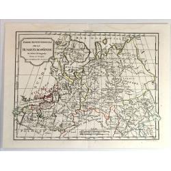
Partie Septenttrionale de la Russie Europeenne par Robert de Vaugondy
Map of European Russia by C. F. Delamarche, successor of Robert de Vaugondy, Geographer. With a color key to Russian, Prussian and Austrian possessions.C.F. Delamarche wa...
Place & Date: Paris, 1794
Selling price: $20
Sold in 2019
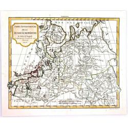
Partie Septentrionale de la Russie Europeenne.
A highly detailed map of the Northwestern part of Russia, from the Gulf of Finland and Poland, to the western part of Asian Russia, by Charles Francois Delamarche, the su...
Place & Date: Paris, 1794
Selling price: $27
Sold in 2016
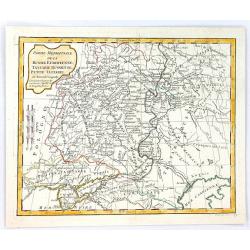
Partie Meridionale de la Russie Europeenne, tartarie Russienne, Petit Tartatie.
A highly detailed map of middle Russia, from Poland to Siberia, by Charles Francois Delamarche, the successor to Robert de Vaugondy.Charles François Delamarche, (1740–...
Place & Date: Paris, 1794
Selling price: $6
Sold in 2016
Vorstellung der zwischen der Wolga und dem Ural-Fluss gelegnen Wüsten, Steppe und der benachbarten Gegenden
Rare and detailed map of European Russia between the Volga and Ural rivers. From "Allgemeine Geschichte der neuesten Entdeckungen ... in vielen Gegenden des russisch...
Place & Date: Bern, der typographischen Gesellschaft, 1777 or 1795
Selling price: $115
Sold in 2014
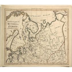
Northern Part of Russia in Europe.
Interesting antique map of the northern part of western Russia including Saint Petersburg, Novogorod, Russian Lapland, and the area stretching to the Gulf of Kara and the...
Place & Date: London, 1795
Selling price: $20
Sold in 2019
Karte von dem Ruschischen Reiche in Europa.
Map shows the west part of Russia.
Place & Date: Vienna, 1796
Selling price: $36
Sold in 2015
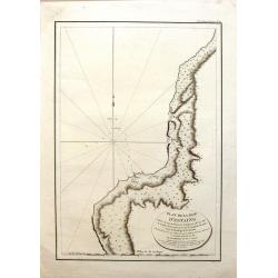
Plan de la Baie d'Estaing.
Large map of the Bay of D'Estaing on the coast of Tchoka in the Uglegorsk Region of Russia. It is from "ATLAS DU VOYAGE DE LA PEROUSE". Perouse set sail from Fr...
Place & Date: Paris, 1797
Selling price: $99
Sold in 2015
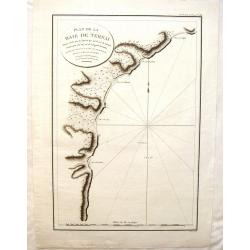
Plan de la Baie de Ternai.
A crisp clear map of the Bay of Ternai in Tartary (Russian Provinces). It is from "ATLAS DU VOYAGE DE LA PEROUSE". Perouse set sail from France in 1785 to conti...
Place & Date: Paris, 1797
Selling price: $75
Sold in 2015
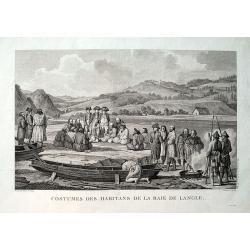
Costumes des habitans de la Baie de Langle.
From the important 1797 French edition. A fine engraved view showing local people and sailors near today's Tomari Bay, Sakhalin. Dessine par Duche-de Vancy. Grave par Cat...
Place & Date: Paris, 1797
Selling price: $21
Sold in 2019
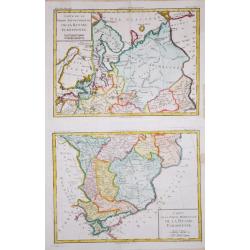
Carte de la Partie Septentrionale/ Meridionale de la Russie Euopéenne.
Two maps together depicting European Russia. From Brunet's 'Histoire Universelle, depuis le commencement du monde jusqu'a present'.Louis Brion de la Tour (1756-1823), Fre...
Place & Date: Paris, 1790-1798
Selling price: $110
Sold in 2020
![[2 sheets] Carte de Moscovie...](/uploads/cache/38419-250x250.jpg)
