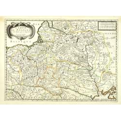
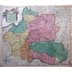
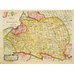
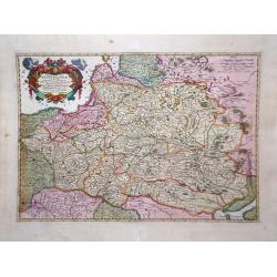
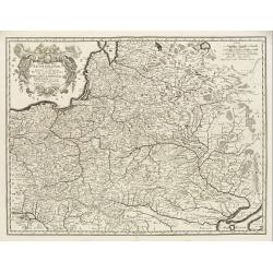
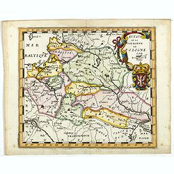
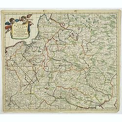
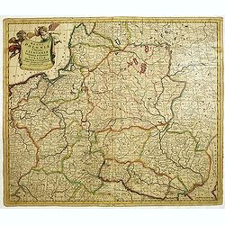
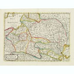
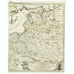
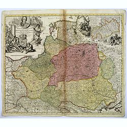
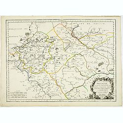
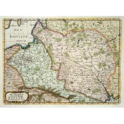
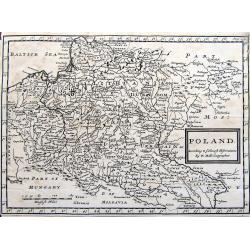
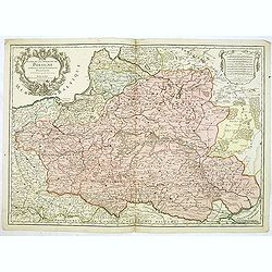
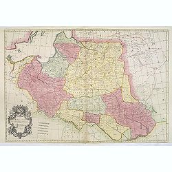
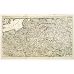
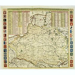
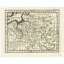
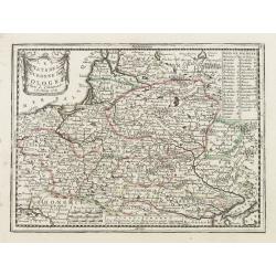
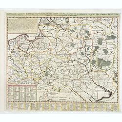
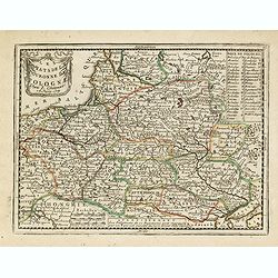
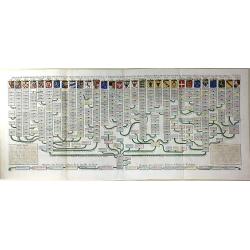
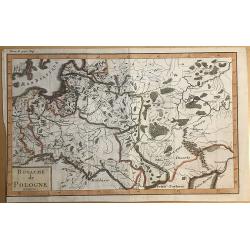
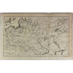
Carte de Pologne et des Estats qui en dépendent Par du Val. . .
Uncommon map of Poland, Lithuania, Latvia, Estonia and a portion of Russia, extending from the Oder to the Black Sea and Smolensk, centered on Wilma. Includes all of Pola...
Place & Date: Paris, ca 1665
Selling price: $425
Sold in 2010
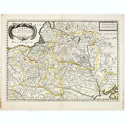
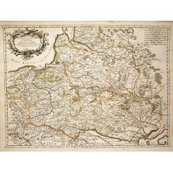
Carte de Pologne et des Estats qui en dépendent Par du Val. . .
Uncommon map of Poland, Lithuania, Latvia, Estonia and a portion of Russia, extending from the Oder to the Black Sea and Smolensk, centered on Wilma. Includes all of Pola...
Place & Date: Paris, ca 1665
Selling price: $700
Sold in 2012
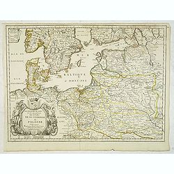
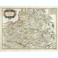
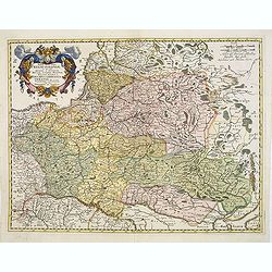
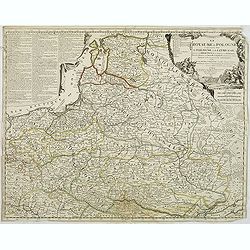
Les Royaumes du Nort ou Sont principalement les estats de la Couronne de Pologne. . .
Uncommon and detailed map of Poland. With decorative tittle cartouche lower left with a dedication to Jean-Jacques de Mesmes, comte d'Avaux (1640 – 9 January 1688) who ...
Place & Date: Paris, c.1666
Selling price: $500
Sold in 2012
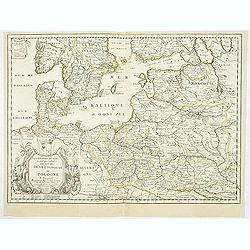
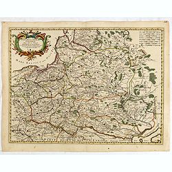
Les Royaumes du Nort ou Sont principalement les estats de la Couronne de Pologne. . .
Uncommon and detailed map of Poland. With decorative title cartouche lower left with a dedication to Jean-Jacques de Mesmes, comte d'Avaux (1640 – 9 January 1688) who w...
Place & Date: Paris, c.1666
Selling price: $450
Sold in 2012
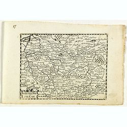
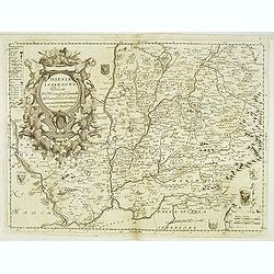
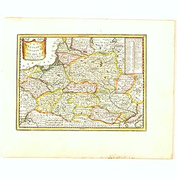
Pologne et Silesie.
Rare map of Poland and Silesia, published by Jollain in 1667. Lower right map number 17.Published in "Trésor Des Cartes Geographiques Des Principaux Estats de Luniv...
Place & Date: Paris, 1667
Selling price: $200
Sold in 2023
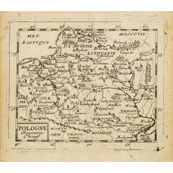
POLOGNE Royaume Electif.
Nice miniature map of Poland.
Place & Date: Paris, 1670
Selling price: $80
Sold in 2008
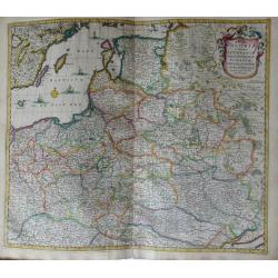
Regni Poloniae et Ducatus Lithuaniae Voliniae, Podoliae Ucraniae Prussiae, Livoniae, et Curlandiae descriptio.
Attractive original hand-colored map of Poland, Belarus, Ukraine, and the Baltic countries. The map is decorated with a cartouche and there are sailing ships in the Balti...
Place & Date: Amsterdam, 1670
Selling price: $750
Sold in 2012
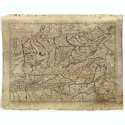
Germaniae Omniumque eius provinciarum, atque Austriae, Boemiae, Ungariae, Carinthiae, Corvatiae, Poloniae, Moraviae, Bossinae, Serviae, Prussiae, Masoviae, Transilvaniae, Lithuaniae, Russiae,. . .
ONLY KNOWN IN ONE OTHER EXAMPLE : Map of Poland and Eastern Europe, originally prepared by Ferrando Bertelli (1491) and was reprinted in 1583 by Donato Bertelli - the onl...
Place & Date: Basano, 1491-1670
Selling price: $1550
Sold in 2016
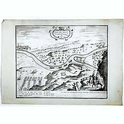
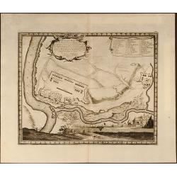
DISSEGNO DEL FORTE DI MONTE SPIZ PRESO DAL GRAN MARESCIALLE LUBOMIRSCHI.
An etching shows the Polish military leader and nobleman Jerzy Sebastian Lubomirski (1616–1667) above the fortress Biala Góra (here marked in Italian as Monte Spiz and...
Place & Date: Vienna, J.B. Hacque 1672
Selling price: $550
Sold in 2016
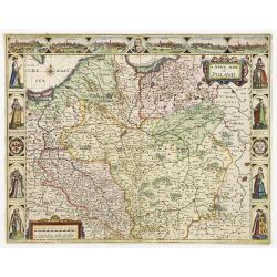
A Newe mape of Poland Done into English by I.Speede.
A wonderful map of Poland. Incorporated into Speed's 'Prospect Of The Most Famous Parts Of The World'. Includes birds-eye views of Cracow, Dantzick, Posna, Crossen, Sando...
Place & Date: London 1676
Selling price: $2250
Sold
Stati della Corona di Polonia Divisa nella sue Principali Provincie e Palatinati da Guglielmo Sansone. . .
Rare map of Poland, Lithuania and the Ukraine. Copies of his first edition of 'Mercurio Geografico', published in 1674, do not contain a map of Poland. Only added in late...
Place & Date: Rome, 1678
Selling price: $650
Sold in 2017
Stati della Corona di Polonia Divisa nella sue Principali Provincie e Palatinati da Guglielmo Sansone. . .
Engraved by Bin Mariotti. Giacomo Rossi's fine late 17th century map of Poland. Showing the Polish-Lithuanian Commonwealth at a time when it was one of the largest and mo...
Place & Date: Rome, 1678
Selling price: $800
Sold in 2015
Regni Poloniae....
Map of Poland, Lithuania, Ukraine... The Danckerts family was very large with many family members active in engraving as artists. The family's roots can be traced back to...
Place & Date: Amsterdam, 1680
Selling price: $800
Sold in 2010
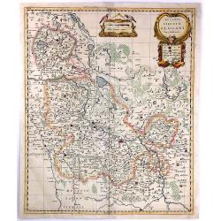
Ducatus Silesiae Glogani Vera Delineatio
A detailed map of Poland showing parts of Silesia with Glogau, Grünberg Guhrau and Schwiebus. Very detailed, especially showing different sizes of cities and towns, fore...
Place & Date: Amsterdam, 1680
Selling price: $225
Sold in 2016
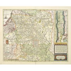
Magni ducatus Lithuaniae Caeterarumq Regionum illi adiacentium exacta descrip. . .
Highly detailed map of Lithuania including the inset of the Dnieper River, based upon Blaeu's four sheet map. Highly detailed, extending from Cracow to the Baltic in the ...
Place & Date: Oxford, 1682
Selling price: $1350
Sold in 2010
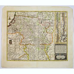
Magni ducatus Lithuaniae Caeterarumq Regionum illi adiacentium exacta descrip. . .
Highly detailed map of Lithuania including the inset of the Dnieper River, based upon Blaeu's four sheet map. Highly detailed, extending from Cracow to the Baltic in the ...
Place & Date: Oxford, 1682
Selling price: $600
Sold in 2017
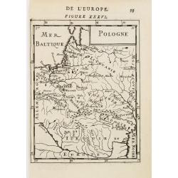
Pologne (Figure XXXVI).
Map of Poland extending from the Baltic south into Turkey. It shows some detail and names numerous cities and villages.From the French text edition of Description d\'Univ...
Place & Date: Paris 1683
Selling price: $110
Sold in 2008
Estats de la Couronne de Pologne.
Nicolas Sanson (1600-67), ' father of the French cartography' and founder of the Sanson firm. Atlas ' Cartes générales de toutes les parties du Monde', 1658-70 and a po...
Place & Date: Utrecht, S.de Vries / J. Ribius, 1683
Selling price: $120
Sold
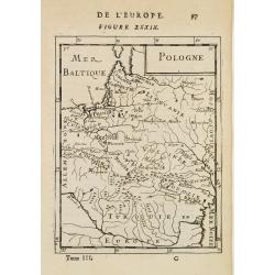
Pologne (Figure XXXIX).
Map of Poland extending from the Baltic south into Turkey. It shows some detail and names numerous cities and villages.From the French text edition of Description d'Unive...
Place & Date: Paris, 1683
Selling price: $190
Sold in 2010
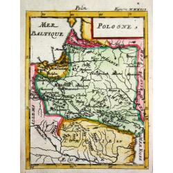
Pologne.
Alain Manneson Mallet (1603-1706) published in 1683 his ' Description de l' Univers' in 5 volumes. In 1686 a German edition appeared.Map of Poland. From the German editio...
Place & Date: Frankfurt, 1686
Selling price: $75
Sold
Tabula nova totius Regni Polonia ? Ducatus et Provincia Prussia, Cujavia, Mazovia, Russia Nigria, Ducatus Lithuania, Ukrania?
Map by Visscher after Sanson showing Poland, Lithuania, Latvia, Estonia and Russia with beautiful original color.
Place & Date: Amsterdam, 1688
Selling price: $550
Sold in 2010
Poland by Robt Morden.
Antique Map of Poland and Lithuania by Robert Morden. Shows major rivers, regions, and towns.
Place & Date: London, 1688
Selling price: $50
Sold in 2023
Poland by Robt Morden.
Antique Map of Poland and Lithuania. Shows major rivers, regions, and towns.
Place & Date: London, 1688
Selling price: $120
Sold in 2016
Stati Della Corona di Polonia.
Title: 'Stati Della Corona di Polonia', from the La Guida Del Mercurio Geografico per Tutte Le Parti Del Mondo. Map title inside cartouche of crossed weapons and a crown ...
Place & Date: Rome, 1683-1688
Selling price: $600
Sold in 2019
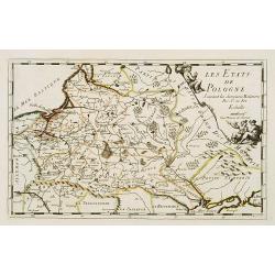
Les Etats de Pologne. Suivant des dernieres relations..
Rare miniature map of Poland by N. de Fer.
Place & Date: Paris 1689
Selling price: $165
Sold
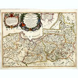
La Prussia Divisa in Reale Che Appartiene al Ré Di Polonia et in Ducale Che Spetta all'Elettore Di Brandeburgo. Da Giacomo Cantelli Da ...
In upper left hand corner a large title cartouche with dedication to Cardinal Denhoff. The map is dated 1689.The cartographer was Giacomo Cantelli (1643-1695) who was act...
Place & Date: Rome, 1689
Selling price: $1050
Sold in 2014
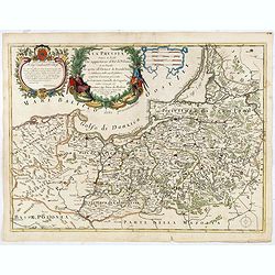
La Prussia Divisa in Reale Che Appartiene al Ré Di Polonia et in Ducale Che Spetta all'Elettore Di Brandeburgo. Da Giacomo Cantelli Da ...
In upper left hand corner a large title cartouche with dedication to Cardinal Denhoff. The map is dated 1689.The cartographer was Giacomo Cantelli (1643-1695) who was act...
Place & Date: Rome, 1689
Selling price: $475
Sold in 2016
Tabula nova totius regni Poloniae..
Map of Poland, Lithuania, Latvia, Belarus and Ukraine with decorative cartouche in the upper left corner.Published by Nicolaas Visscher after N. Sanson.
Place & Date: Amsterdam, 1690
Selling price: $700
Sold in 2009
Tabula nova totius Regni Poloniae in quo sunt Ducatus et Provinciae Prussia, Cujavia, Mazovia, Russia, Nigra &c. Ducatus Lithuania, Ukrania...Volhynia et Podolia.
Map of Poland, Lithuania, Latvia, Belarus and Ukraine with decorative cartouche in the upper left corner showing two wind heads, a cheetah's head and two sets of bows and...
Place & Date: Amsterdam, 1690
Selling price: $850
Sold in 2013
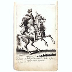
Johannes III D.G. Polonorum . . .
Equestrian portrait of Johannes III, full-length in profile to left but looking at the viewer, horse seen in frontal view, after Pieter Stevens ( c.1683-1692).This is one...
Place & Date: Antwerp, c.1690
Selling price: $200
Sold in 2018
Regni Poloniae et Ducatus Lithuaniae Voliniae, Podoliae..
Standard map of Poland.
Place & Date: Amsterdam, 1690
Selling price: $600
Sold in 2019
Estats de la Couronne de Pologne.
A fine map of Poland, Lithuania, Belarus and Ukraine. This map appeared in Peeters "L'Atlas en Abrrege."
Place & Date: Antwerp, 1692
Selling price: $175
Sold in 2017
Silesia Inferiore. . .
Uncommon map of lower Silesia engraved in Coronelli's strong and distinctive style. In upper right corner a imposing dedicational cartouche surmounted by coats of arms an...
Place & Date: Venice, 1695
Selling price: $1050
Sold in 2012
Polonia parte occidentale, Descritta, e Dedicata Dal P.Mae
A scarce and very attractive detailed map of Poland in two un-joined sheets and includes numerous coats of arms in the body of the map and a large decorative title cartou...
Place & Date: Venice, 1696
Selling price: $2100
Sold in 2011
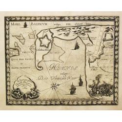
Ichnographia Castelli Pillau et adiacentium locorum Anno 1656.
From Pufendorf's famous chronicle on the Baltic area, ' Histoire du règne de Charles Gustave, roy de Suède' A decorative map of the town of Pillau (Baltiisk) on the ent...
Place & Date: Nürnberg, C. Riegel, 1697
Selling price: $125
Sold in 2016
Delineatio Regionis Vbi Wistula, et Bugus confluunt , vt et Castrorum Suedicorum
Attractive copper engraved map of view of the Wistula River, Nowy Dwor, Mazowiecki, north west of Warsaw (Warszawa) in Poland. From the famous chronicle of Baron von Pufe...
Place & Date: Nuremberg, 1697
Selling price: $100
Sold in 2009
Delineatio et Situs Montower Spitze / Exquisita Delineatio Fluvii Nogat
Two copper engraved maps on one sheet. Top map showing the area Vitula River and Nogat River crossing at "Montower Spitze". The second map showing the course of...
Place & Date: Nuremberg, 1697
Selling price: $100
Sold in 2009
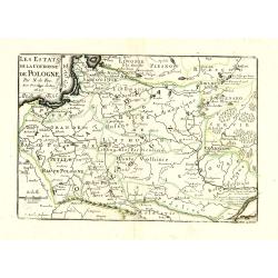
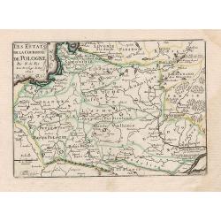
Les Estats de la Couronne de Pologne avec privilege du Roy.
Charming little map of Poland, engraved by C.Inselin and published by Nicolas de Fer.
Place & Date: Paris, 1697
Selling price: $100
Sold in 2010
Le royaume de Pologne comprenant les états de Pologne et de Lithuanie, divisez en provinces et subdivisez en Palatinats, selon les mémoires de Starovolse, de Hartknoch. . .
Uncommon and detailed map of Poland prepared by Tillemont. Part of the Black Sea in the lower right corner.
Place & Date: Paris, 1697
Selling price: $1100
Sold in 2011
Les Estats de la Couronne de Pologne.
Charming little map of Poland, from Petit et Nouveau Atlas, engraved by C. Inselin and published by Nicolas de Fer.
Place & Date: Paris, 1697
Selling price: $330
Sold in 2012
Geometrica Delineatio Munitionis Dantziger Hoeft.
From Pufendorf's famous chronicle on the Baltic area, ' Histoire du règne de Charles Gustave, roy de Suède'A detailed map of the fortress Dantziger Hoeft.
Place & Date: Nürnberg, C. Riegel, 1697
Selling price: $110
Sold in 2016
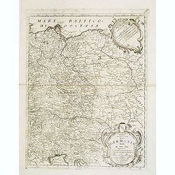
Parte orientale della Germania. . .
A beautiful and flamboyantly engraved large-scale map of Poland, Eastern part of Germany and Austria. On verso a map of the Malay Peninsular as far south as Singapore. (2...
Place & Date: Venice, 1698
Selling price: $400
Sold in 2012
Etats de la Couronne de Pologne.
Detailed map covering the region of present-day Poland, Lithuania, Belarus and Ukraine. Engraved by Anthony d'Winter.
Place & Date: Amsterdam, 1700
Selling price: $130
Sold in 2008
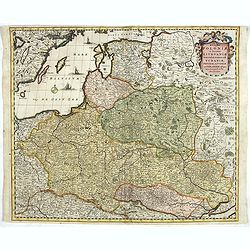
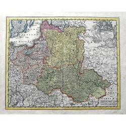
Regni Poloniae et Ducatus Lithuaniae, Volinae, Podoliae, Ucraniae, Prussiae et Curlandiae . . .
Finely detailed map of the Baltic Sea region, including the regions of Poland, Hungary, Prussia, Ukraine, eastern Germany, and southwest Sweden by Frederick de Wit. Villa...
Place & Date: Amsterdam, c.1700
Selling price: $950
Sold in 2010
Regni Poloniae et Ducatus Lithuaniae Voliniae..
Rare map issued by Justus Danckerts attractive map of Poland and Lithuania.Decorative title cartouche upper left hand corner.The map has strong original coloring, the tit...
Place & Date: Amsterdam, 1700
Selling price: $900
Sold in 2011
Regni Poloniae et Ducatus Lithuaniae Voliniae. . .
Rare issue of Justus Danckerts attractive map of Poland and Lithuania.Decorative title cartouche upper left hand corner.The map has strong original coloring, the titles f...
Place & Date: Amsterdam, 1700
Selling price: $800
Sold in 2013
Les Etats de la couronne de Pologne.
Fine map of Poland, engraved by A. de Winter for "Description de tout L'Univers en plusieurs cartes, & en divers traitez de Geographie et d'Histoire. . .".
Place & Date: Amsterdam, F.Halma, 1700
Selling price: $175
Sold in 2012
Carte des Etats de Suede, de Dannemarq, et de Pologne sur le Mer Batlique. . .
Map covers Poland and Lithuania. Decorative title cartouche supported by a bear and a wild horse in lower right corner.In itself complete, but the right sheet, only, of a...
Place & Date: Paris, 1700
Selling price: $300
Sold in 2012
Frederico Augusto .. Polon. Lithuan. Borus. Pomer. Regi..
A decorative map and rare map of the Kingdom of Poland, which in the early eighteenth century included much of Ukraine, White Russia, and the Baltic States. There is an i...
Place & Date: Amsterdam, 1700
Selling price: $1350
Sold in 2018
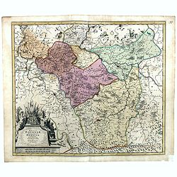
Basse ou Grande Pologne ou sont les Palatinats de Posna, Calisch, Sirad, Lencici, Rava, Brest, et Inowlocz. . .
Uncommon state of this map of Poland, covering much of present-day Poland and includes the cities of Grudziadz in the north, Warsaw in the east, Opole in the south and Gl...
Place & Date: Paris, 1703
Selling price: $500
Sold in 2015
De Staten van de Kroon Poolen.
Detailed map covering the region of present-day Poland, Lithuania, Belarus and Ukraine. Engraved by Anthony d'Winter.
Place & Date: Amsterdam 1705
Selling price: $120
Sold
Poland. According to ye newest observations. . .
A small but detailed map of Poland, the Ukraine, Lithuania, Latvia, and parts of Russia. Extends from Vienna to Moscow, including Riga, Warsaw, Kaliningrad, Kiev, and man...
Place & Date: London, ca 1705
Selling price: $47
Sold in 2019
Estats de la couronne de Pologne subdivisés suivant l'estendue des palatinats. . .
Decorative and detailed map of Poland, with tip of the Black Sea lower right. Prepared by Sanson, but published by Hubert Jaillot. Engraved by Cordier. A scarce map.
Place & Date: Amsterdam, 1708
Selling price: $400
Sold in 2012
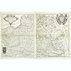
Poland Corrected from the Observations Communicated to the Royal Society at London and the Royal Academy at Paris . . .
A two sheet map of Poland, one of the largest maps of Poland ever to appear in an English Atlas. The map extends from the Baltic, Silesia and Hungary in the West to Biela...
Place & Date: London, 1708
Selling price: $1350
Sold in 2013
La Pologne Dressée sur ce qu'en ot donné Starovolsk, Beauplan, Hartnoch. . .
Scarce and 2nd state of the map of Poland with the imprint "a la Courone de Diamans" : "La Pologne. Chez l’Auteur sur le Quai de l’Horloge a la C. ne d...
Place & Date: Paris, 1707/1708
Selling price: $500
Sold in 2023
Reipublicae et status generalis Poloniae nova Tabula comprehendens Maioris et minoris Poloniae Regni.
Large map of Poland, reaching in the east as far as the Crimea. Engraved by Jacob Keyser.Joachim Ottens (1663 - 1719) and his sons Renier and Joshua were prominent Dutch ...
Place & Date: Amsterdam, ca. 1710
Selling price: $975
Sold in 2010
Carte De Pologne Avec La Chronologie Des Rois Et Des Ducs De Lithuanie, Ainsi Que Des Grands Maitres De L'Ordre Teutonique Les Evechez et Archeveches, et Les Armes Des Provinces . . .
Map of Poland with a key table to the towns, and 30 coats of arms on both sides, extending south the Black Sea. Zacharias Chatelain (d.1723) was the father of Henri Abrah...
Place & Date: Amsterdam, ca. 1714
Selling price: $2050
Sold in 2012
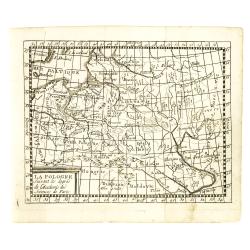
La Pologne suivant les degrés de l'academie des sciences de Paris 1714.
Uncommon miniature map of Poland from one of the editions of the work by Claude Buffier (25 May 1661 – 1737), was a French philosopher, historian & educationalist, ...
Place & Date: Paris, ca. 1714
Selling price: $170
Sold in 2012
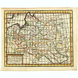
La Pologne suivant les degrés de l'academie des sciences de Paris.
Uncommon miniature map of Poland from one of the editions of the work by Claude Buffier (25 May 1661 – 1737), was a French philosopher, historian & educationalist, ...
Place & Date: Paris, ca. 1714
Selling price: $80
Sold in 2015
La Pologne suivant les degrés de l'academie des sciences de Paris.
Uncommon miniature map of Poland from one of the editions of the work by Claude Buffier (25 May 1661 – 1737), who was a French philosopher, historian and educationalist...
Place & Date: Paris, ca. 1714
Selling price: $130
Sold in 2016
Poloniae & Lithuania accurante curatius.
A very scarce map of Poland, Lithuania, and a large part of Latvia. The copper engraved map extends from the Baltic Sea until Hungary and the southern Ukraine. Published ...
Place & Date: Nuremberg, ca 1715
Selling price: $92
Sold in 2019
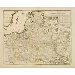
Les Etats de la couronne de Pologne..
Rare map of Poland. In upper right corner a title cartouche, key with longitudes and latitudes to the important cities and coats of arms of Poland, Lithuania, Prussia, Cu...
Place & Date: Paris 1716
Selling price: $900
Sold
Les Estats de la Couronne de Pologne.
Lovely small map of Poland with title cartouche and a panel in the upper right corner listing local rulers.From Le Nouveau et Curieux Atlas Geographique et Historique.. b...
Place & Date: Paris, 1719
Selling price: $150
Sold in 2008
Nouvelle carte du royaume de Pologne, divisée selon. . .
Chatelain's map of Poland. The title is in two lines across the map. On bottom border appears an index to the map's contents. At the top of the map appear historical rema...
Place & Date: Amsterdam, 1719
Selling price: $750
Sold in 2015
Les Estats de la Couronne de Pologne.
Lovely small map of Poland with title cartouche and a panel in the upper right corner listing local rulers.From Le Nouveau et Curieux Atlas Geographique et Historique.. b...
Place & Date: Paris, 1719
Selling price: $190
Sold in 2014
Nouvelle Carte Genealogique des Souverains et des Familles Illustres Aliez a la Maison Ouaux Decendans de la Famille Roialle de Piaste Roi de Pologne...
A genealogical tree of the Royal family of Poland from AD.804 to AD.1704. Produced as a supplement to a 7 volume "Atlas Historique" by Henry Chatelaine in1710. ...
Place & Date: Amsterdam, 1719
Selling price: $325
Sold in 2016
Les Estats de la Couronne de Pologne.
The very rare first edition published by Antoine Menard (with his signature) in 1711 in "Le Nouveau et Curieux Atlas géographique et historique.". The map is m...
Place & Date: Paris, 1719
Selling price: $150
Sold in 2020
Nouvelle Carte de Pologne.
Henri Abraham Chatelain was a Amsterdam-based geographer and publisher. His main product is the 'Atlas Historique et Méthodique', in seven volumes, published between 171...
Place & Date: Amsterdam, c.1720
Selling price: $275
Sold
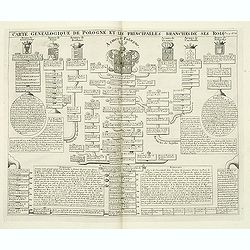
Carte genealogique de Pologne et les princiales. . .
A genealogical tree of the Polish rules from 9th - 17th century. This impressive engraving is a wonderful example of Chatelain’s elegant plates from his "Atlas His...
Place & Date: Amsterdam, ca. 1720
Selling price: $260
Sold in 2012
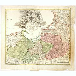
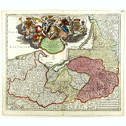
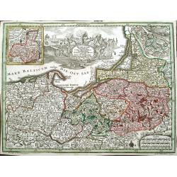
Regnum Borussiae gloriosis auspiciis serenissimi et potentissimi princip. Friderici III primi Borussiae regis march. et elect. Brandenburg inauguratum die 18 Jan...1701.
Map covering the region along the Baltic Sea from Prussia to northern Poland.Beautiful ornamental title cartouche in upper center. Centered on Danzig, Konigsberg, Heilspe...
Place & Date: Nuremberg, 1720
Selling price: $275
Sold in 2016
Regnum Borussiae gloriosis auspiciis serenissimi et potentissimi princip. Friderici III primi Borussiae regis march. et elect. Brandenburg inauguratum die 18 Jan...1701.
Map covering the region along the Baltic Sea from Prussia to northern Poland.Beautiful ornamental title cartouche in upper middle with later color addition. Centered on D...
Place & Date: Nuremberg, 1720
Selling price: $350
Sold
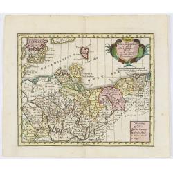
Des OberSächßischen Creißes Nordlicher Theil..
Uncommon map of Obersachsen. The originally colored title cartouche is surrounded by mythological figures. From Atlas Portatif.
Place & Date: Nuremberg 1724
Selling price: $200
Sold in 2015
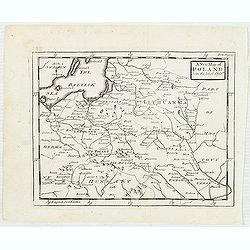
A new map of Poland from the latest Obser.ns
Uncommon map of Poland and Lithuania. In upper right corner "front Page 137". Published in "Patrick Gordon's Geography Anatomiz'd" by John Senex.
Place & Date: London, J. Senex, ca. 1725
Selling price: $105
Sold in 2012
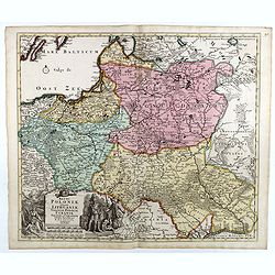
Regni Poloniae, ducatus Lithuaniae Voliniae, Podoliae Ucraniae Prussiae et Curlandiae Descriptio emendata per R. & I. Ottens.
Very rare map of Poland Lithuania and Ukraine, etc. Engraved by A. Schut.Joachim Ottens (1663 - 1719) and his sons Renier and Joshua were prominent Dutch booksellers and ...
Place & Date: Amsterdam, 1725
Selling price: $2300
Sold in 2017
Regni Poloniae, ducatus Mazoviae et province Cujaviae / descriptio emendata per R. & I. Ottens
Very rare map of Poland Lithuania and Ukraine, etc. Engraved by A. Schut.Joachim Ottens (1663 - 1719) and his sons Renier and Joshua were prominent Dutch booksellers and ...
Place & Date: Amsterdam, 1725
Selling price: $1500
Sold in 2017
Borussiae Regnum cum adjacentibus Regionibus. . .
Seutter's pocket map of northern Poland, Konigsburg (Kaliningrad) and of Lithuania. Includes the cities of Gdansk (Danzig), Elblag (Elbing), Malbork (Marienburg), Lidzbar...
Place & Date: Augsburg, ca. 1725
Selling price: $27
Sold in 2018
Grande Pologne et Prusse avec les frontières de la Misnie, Lusace, Moravie et Lithuanie.
Detailed map of Poland and Prussia. Published by Pieter van der Aa who published a.o. "Naauwkeurge versameling der gedenkwaardigste zee- en land-reysen", a seri...
Place & Date: Leiden, 1729
Grande Pologne et Prusse avec les frontières de la Misnie, Lusace, Moravie et Lithuanie
Fine map of Poland. This well executed engraving was published in 1729 and 1727 by Pieter van der AA, in Leiden in "Les Voyages tres-curieux et tres-renommez faits e...
Place & Date: Leiden, 1729
Selling price: $400
Sold in 2020
Royaume de Pologne.
Striking map of Poland. It is from “METHODE POUR ETUDIER L’HISTOIRE” by L’Abbe Lenglet du Fresnoy, pulished in Paris in 1729. The map is quite rare and is not now...
Place & Date: Paris, 1729
Selling price: $100
Sold in 2019
Royaume de Pologne.
Striking map of Poland. It is from “METHODE POUR ETUDIER L’HISTOIRE” by L’Abbe Lenglet du Fresnoy, published in Paris in 1729. The map is quite rare and is not no...
Place & Date: Paris, 1729
Selling price: $60
Sold in 2018
