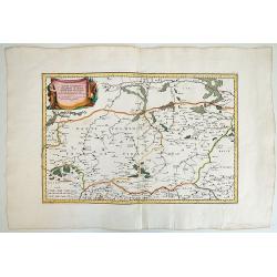
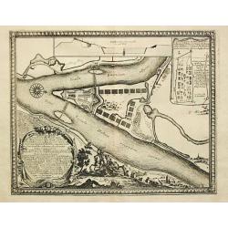
Sylva Montow Werd.
From Pufendorf's famous chronicle on the Baltic area, ' Histoire du règne de Charles Gustave, roy de Suède'A print showing the crossing of the Vistal river by the Swede...
Place & Date: Nürnberg, C. Riegel, 1697
Selling price: $110
Sold in 2009
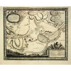
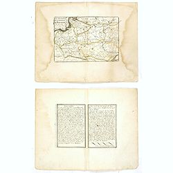
Ichnographia Oppidi Itzehoae.
From Pufendorf's famous chronicle on the Baltic area, ' Histoire du règne de Charles Gustave, roy de Suède'A plan of the town of Itzehoae on the Stoer river.
Place & Date: Nürnberg, C. Riegel, 1697
Selling price: $185
Sold in 2008
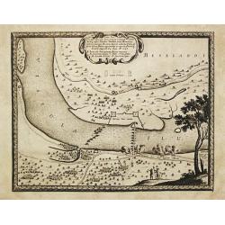
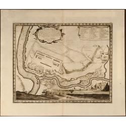
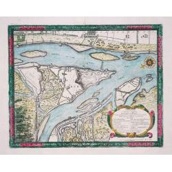
Ichnographia Castelli ad Caput Vistulae vulgo Hoft Schantz.
From Pufendorf's famous chronicle on the Baltic area, ' Histoire du règne de Charles Gustave, roy de Suède'.A splendid view of the Hoft Schanz on the old and the Dantzi...
Place & Date: Nürnberg, C. Riegel, 1697
Selling price: $170
Sold in 2017
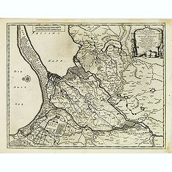
Delineatio Regionis Vbi Wistula, et Bugus confluunt , vt et Castrorum Suedicorum
Attractive copper engraved map of view of the Wistula River, Nowy Dwor, Mazowiecki, north west of Warsaw (Warszawa) in Poland. From the famous chronicle of Baron von Pufe...
Place & Date: Nuremberg, 1697
Selling price: $100
Sold in 2009
Delineatio Fortality Polonorum ad Lysouiam quo a Serenissimo Principe Palatino Adolpho Johanne Supremo Duce militiae Sueciae
Beautifully copper engraved plan of the region along the Vistula River opposite the village of Dirzovia, close to Malbork and Tczewa. From the famous chronicle of Baron v...
Place & Date: Nuremberg, 1697
Selling price: $100
Sold in 2009
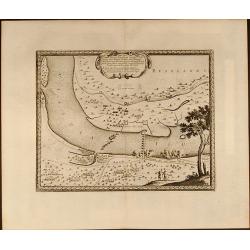
Situs loci in quo Situs loci in quo Sereniss: Princ. Sueciæ General.mus subito - Vistulam inter Montower Spitz et paruum Montow trajecit, cohortes Polon. fugavit, - - fluminiq. Pontem imposuit d. 4. Aug: Ao 1658
Nice copper engraved plan of the region along the Vistula River. From the famous chronicle of Baron von Pufendorf.
Place & Date: Nuremberg, 1697
Selling price: $100
Sold in 2009
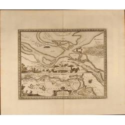
Delineatio et Situs Montower Spitze / Exquisita Delineatio Fluvii Nogat
Two copper engraved maps on one sheet. Top map showing the area Vitula River and Nogat River crossing at "Montower Spitze". The second map showing the course of...
Place & Date: Nuremberg, 1697
Selling price: $100
Sold in 2009
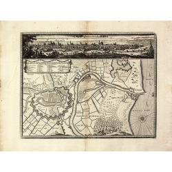
Dantiscum / Ichnographia Urbi Gedani et Castelli ad ostium Uistulae vulgo Weichselmunde.
Beautiful copper engraved map of the Vistula delta with a town plan and panoramic view of Danzig/Gdansk by S. Pufendorf. With several sailing ships and a compass rose in ...
Place & Date: Nuremberg, 1697
Selling price: $500
Sold in 2011
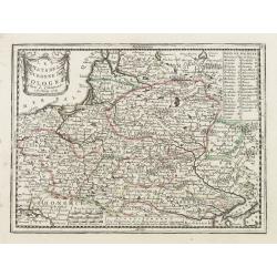
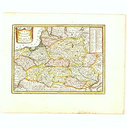
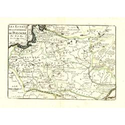
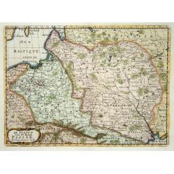
Les Estats de la Couronne de Pologne avec privilege du Roy.
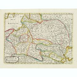
Charming little map of Poland, engraved by C.Inselin and published by Nicolas de Fer.
Place & Date: Paris, 1697
Selling price: $100
Sold in 2010
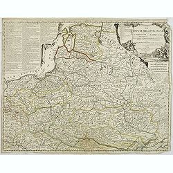
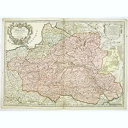
Le royaume de Pologne comprenant les états de Pologne et de Lithuanie, divisez en provinces et subdivisez en Palatinats, selon les mémoires de Starovolse, de Hartknoch. . .
Uncommon and detailed map of Poland prepared by Tillemont. Part of the Black Sea in the lower right corner.
Place & Date: Paris, 1697
Selling price: $1100
Sold in 2011
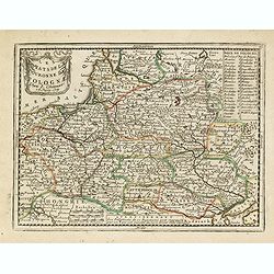
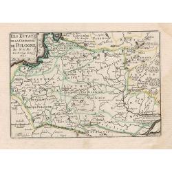
Les Estats de la Couronne de Pologne.
Charming little map of Poland, from Petit et Nouveau Atlas, engraved by C. Inselin and published by Nicolas de Fer.
Place & Date: Paris, 1697
Selling price: $330
Sold in 2012
Geometrica Delineatio Munitionis Dantziger Hoeft.
From Pufendorf's famous chronicle on the Baltic area, ' Histoire du règne de Charles Gustave, roy de Suède'A detailed map of the fortress Dantziger Hoeft.
Place & Date: Nürnberg, C. Riegel, 1697
Selling price: $110
Sold in 2016
Estats de la Couronne de Pologne.
An interesting small map of Poland by Nicolas de Fer. Engraved by C.Inselin. From his rare "Petit et Nouveau Atlas". The first edition was published in 1697 and...
Place & Date: Paris, 1697
Selling price: $150
Sold in 2017
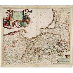
Ducatus Prussiae tam Polono Regiae..
Rare issue of Justus Danckert's attractive map of northern part of Poland.Decorative title cartouche upper left hand corner.
Place & Date: Amsterdam, 1698
Selling price: $900
Sold in 2010
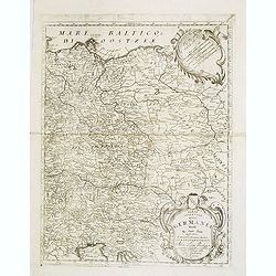
Parte orientale della Germania. . .
A beautiful and flamboyantly engraved large-scale map of Poland, Eastern part of Germany and Austria. On verso a map of the Malay Peninsular as far south as Singapore. (2...
Place & Date: Venice, 1698
Selling price: $400
Sold in 2012
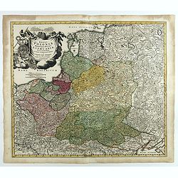
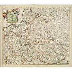
Regni Poloniae et Ducatus Lithuaniae Voliniae..
Rare issue of Justus Danckerts attractive map of Poland and Lithuania.Decorative title cartouche upper left hand corner.SEE a large description of the Danckerts family on...
Place & Date: Amsterdam 1700
Selling price: $610
Sold
Etats de la Couronne de Pologne.
Detailed map covering the region of present-day Poland, Lithuania, Belarus and Ukraine. Engraved by Anthony d'Winter.
Place & Date: Amsterdam, 1700
Selling price: $130
Sold in 2008
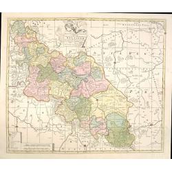
Accuratissima Ducatus Silesiae eique Regnum Bohemiae..
Rare issue of Theodorus Danckert's attractive map of part of Poland, centered on Breslau.Decorative title cartouche upper right hand corner.
Place & Date: Amsterdam, 1700
Selling price: $650
Sold in 2013
Regni Poloniae et Ducatus Lithuaniae, Volinae, Podoliae, Ucraniae, Prussiae et Curlandiae . . .
Finely detailed map of the Baltic Sea region, including the regions of Poland, Hungary, Prussia, Ukraine, eastern Germany, and southwest Sweden by Frederick de Wit. Villa...
Place & Date: Amsterdam, c.1700
Selling price: $950
Sold in 2010
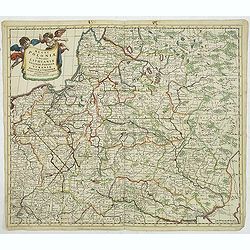
Regni Poloniae et Ducatus Lithuaniae Voliniae..
Rare map issued by Justus Danckerts attractive map of Poland and Lithuania.Decorative title cartouche upper left hand corner.The map has strong original coloring, the tit...
Place & Date: Amsterdam, 1700
Selling price: $900
Sold in 2011
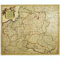
Regni Poloniae et Ducatus Lithuaniae Voliniae. . .
Rare issue of Justus Danckerts attractive map of Poland and Lithuania.Decorative title cartouche upper left hand corner.The map has strong original coloring, the titles f...
Place & Date: Amsterdam, 1700
Selling price: $800
Sold in 2013
Les Etats de la couronne de Pologne.
Fine map of Poland, engraved by A. de Winter for "Description de tout L'Univers en plusieurs cartes, & en divers traitez de Geographie et d'Histoire. . .".
Place & Date: Amsterdam, F.Halma, 1700
Selling price: $175
Sold in 2012
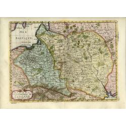
Carte des Etats de Suede, de Dannemarq, et de Pologne sur le Mer Batlique. . .
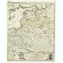
Map covers Poland and Lithuania. Decorative title cartouche supported by a bear and a wild horse in lower right corner.In itself complete, but the right sheet, only, of a...
Place & Date: Paris, 1700
Selling price: $300
Sold in 2012
Sonnenburch
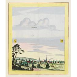
Very decorative and rare panoramic of Sonnenburg near Küstrin .The engraver and publisher of prints, Mrs. Anna Beek of the Hague, enlarged the print and mounted it on l...
Place & Date: The Hague 1700
Selling price: $600
Sold in 2012
Frederico Augusto .. Polon. Lithuan. Borus. Pomer. Regi..
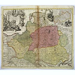
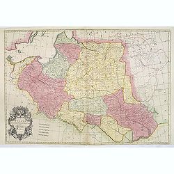
A decorative map and rare map of the Kingdom of Poland, which in the early eighteenth century included much of Ukraine, White Russia, and the Baltic States. There is an i...
Place & Date: Amsterdam, 1700
Selling price: $1350
Sold in 2018
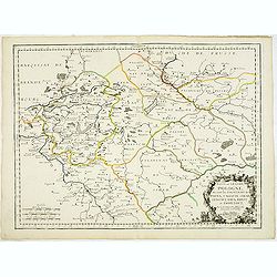
Basse ou Grande Pologne ou sont les Palatinats de Posna, Calisch, Sirad, Lencici, Rava, Brest, et Inowlocz. . .
Uncommon state of this map of Poland, covering much of present-day Poland and includes the cities of Grudziadz in the north, Warsaw in the east, Opole in the south and Gl...
Place & Date: Paris, 1703
Selling price: $500
Sold in 2015
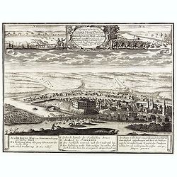
Representation Vonder Stadt Poltoski nebst der Action so geschehen zwischen Ihro Konichg. Maij. von Schweden unter eigene Hohe Commando, und Ihro Koniglg. Maij: von Pohln uner Commando des Feldt Marschal Steinau. . .
A rare print depicting the Battle of Pultusk, approximately 40 miles north of Warsaw, on April 21, 1703 during the Great Northern War.A very rare view--we are not able to...
Place & Date: ca. 1703
Selling price: $250
Sold
Mappa Geographica Exactissima, Continens Imperatoris Haereditarium Dominium Silesiam, nec non eiusdem Provincias interiores Ducatus, Comitatus, Baronatus etc. edente Petro Schenck Cum Privilegio Ord. General. Holland et West Frisiae
Map of part of Poland and Germany. The region along the river Oder. Cracow in lower right corner. Prague in lower left. Copper engraving, hand colored in outline and wash...
Place & Date: Amsterdam, 1704
Selling price: $350
Sold in 2015
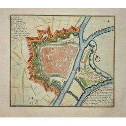
Stetin.
Nice city plan of Stetin with the fortification walls at the Oder river.
Place & Date: Paris, 1705
Selling price: $55
Sold
De Staten van de Kroon Poolen.
Detailed map covering the region of present-day Poland, Lithuania, Belarus and Ukraine. Engraved by Anthony d'Winter.
Place & Date: Amsterdam 1705
Selling price: $120
Sold
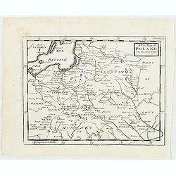
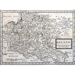
Poland. According to ye newest observations. . .
A small but detailed map of Poland, the Ukraine, Lithuania, Latvia, and parts of Russia. Extends from Vienna to Moscow, including Riga, Warsaw, Kaliningrad, Kiev, and man...
Place & Date: London, ca 1705
Selling price: $47
Sold in 2019
Ducatus Silesiae Glogani vera Delineatio. . .
An unusual and very attractive map of the area around Glogau (Głogów) in Poland. Highly detailed and showing many small villages, rivers, hills, and lakes. The ...
Place & Date: Amsterdam, ca. 1707
Selling price: $50
Sold in 2020
Estats de la couronne de Pologne subdivisés suivant l'estendue des palatinats. . .
Decorative and detailed map of Poland, with tip of the Black Sea lower right. Prepared by Sanson, but published by Hubert Jaillot. Engraved by Cordier. A scarce map.
Place & Date: Amsterdam, 1708
Selling price: $400
Sold in 2012
Poland Corrected from the Observations Communicated to the Royal Society at London and the Royal Academy at Paris . . .
A two sheet map of Poland, one of the largest maps of Poland ever to appear in an English Atlas. The map extends from the Baltic, Silesia and Hungary in the West to Biela...
Place & Date: London, 1708
Selling price: $1350
Sold in 2013
La Pologne Dressée sur ce qu'en ot donné Starovolsk, Beauplan, Hartnoch. . .
Scarce and 2nd state of the map of Poland with the imprint "a la Courone de Diamans" : "La Pologne. Chez l’Auteur sur le Quai de l’Horloge a la C. ne d...
Place & Date: Paris, 1707/1708
Selling price: $500
Sold in 2023
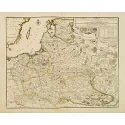
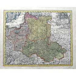
Reipublicae et status generalis Poloniae nova Tabula comprehendens Maioris et minoris Poloniae Regni.
Large map of Poland, reaching in the east as far as the Crimea. Engraved by Jacob Keyser.Joachim Ottens (1663 - 1719) and his sons Renier and Joshua were prominent Dutch ...
Place & Date: Amsterdam, ca. 1710
Selling price: $975
Sold in 2010
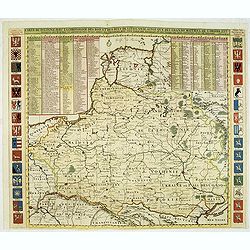
Carte De Pologne Avec La Chronologie Des Rois Et Des Ducs De Lithuanie, Ainsi Que Des Grands Maitres De L'Ordre Teutonique Les Evechez et Archeveches, et Les Armes Des Provinces . . .
Map of Poland with a key table to the towns, and 30 coats of arms on both sides, extending south the Black Sea. Zacharias Chatelain (d.1723) was the father of Henri Abrah...
Place & Date: Amsterdam, ca. 1714
Selling price: $2050
Sold in 2012
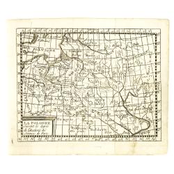
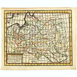
La Pologne suivant les degrés de l'academie des sciences de Paris 1714.
Uncommon miniature map of Poland from one of the editions of the work by Claude Buffier (25 May 1661 – 1737), was a French philosopher, historian & educationalist, ...
Place & Date: Paris, ca. 1714
Selling price: $170
Sold in 2012
La Pologne suivant les degrés de l'academie des sciences de Paris.
Uncommon miniature map of Poland from one of the editions of the work by Claude Buffier (25 May 1661 – 1737), was a French philosopher, historian & educationalist, ...
Place & Date: Paris, ca. 1714
Selling price: $80
Sold in 2015
La Pologne suivant les degrés de l'academie des sciences de Paris.
Uncommon miniature map of Poland from one of the editions of the work by Claude Buffier (25 May 1661 – 1737), who was a French philosopher, historian and educationalist...
Place & Date: Paris, ca. 1714
Selling price: $130
Sold in 2016
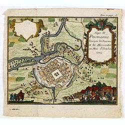
(Poznan) Siege de Posnanie levé par les Saxons & les Moscovites au Mois d'Octobre 1704
Uncommon print of the Battle of Poznan which battle took place on August 9, 1704 in Poznan, Poland during the Great Northern War. The Swedes won the battle.
Place & Date: ca. 1714
Selling price: $110
Sold in 2015
[Varsovie]
Bird's eye-view of Warsaw. With a smaller frontal view of the town in the lower part and 2 insets in the upper corners illustrating Louwitz or Lowicz Castle. Engraved by ...
Place & Date: Paris, ca. 1715
Selling price: $900
Sold in 2008
[Varsovie].
Bird's eye-view of Warsaw. With a smaller frontal view of the town in the lower part and 2 insets in the upper corners illustrating Louwitz or Lowicz Castle. Engraved by ...
Place & Date: Paris, ca. 1715
Selling price: $350
Sold in 2016
Poloniae & Lithuania accurante curatius.
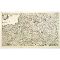
A very scarce map of Poland, Lithuania, and a large part of Latvia. The copper engraved map extends from the Baltic Sea until Hungary and the southern Ukraine. Published ...
Place & Date: Nuremberg, ca 1715
Selling price: $92
Sold in 2019
[Varsovie].
Bird's eye-view of Warsaw. With a smaller frontal view of the town in the lower part and 2 insets in the upper corners illustrating Louwitz or Lowicz Castle. Engraved by ...
Place & Date: Paris, ca. 1715
Selling price: $240
Sold in 2020
Les Etats de la couronne de Pologne..
Rare map of Poland. In upper right corner a title cartouche, key with longitudes and latitudes to the important cities and coats of arms of Poland, Lithuania, Prussia, Cu...
Place & Date: Paris 1716
Selling price: $900
Sold
Les Estats de la Couronne de Pologne.
Lovely small map of Poland with title cartouche and a panel in the upper right corner listing local rulers.From Le Nouveau et Curieux Atlas Geographique et Historique.. b...
Place & Date: Paris, 1719
Selling price: $150
Sold in 2008
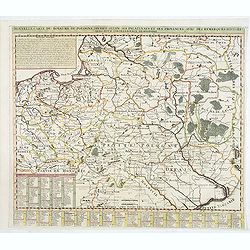
Nouvelle carte du royaume de Pologne, divisée selon. . .
Chatelain's map of Poland. The title is in two lines across the map. On bottom border appears an index to the map's contents. At the top of the map appear historical rema...
Place & Date: Amsterdam, 1719
Selling price: $750
Sold in 2015
Les Estats de la Couronne de Pologne.
Lovely small map of Poland with title cartouche and a panel in the upper right corner listing local rulers.From Le Nouveau et Curieux Atlas Geographique et Historique.. b...
Place & Date: Paris, 1719
Selling price: $190
Sold in 2014
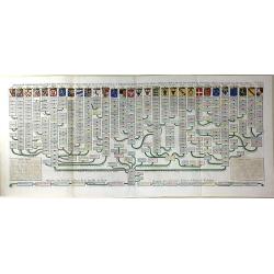
Nouvelle Carte Genealogique des Souverains et des Familles Illustres Aliez a la Maison Ouaux Decendans de la Famille Roialle de Piaste Roi de Pologne...
A genealogical tree of the Royal family of Poland from AD.804 to AD.1704. Produced as a supplement to a 7 volume "Atlas Historique" by Henry Chatelaine in1710. ...
Place & Date: Amsterdam, 1719
Selling price: $325
Sold in 2016
Les Estats de la Couronne de Pologne.
The very rare first edition published by Antoine Menard (with his signature) in 1711 in "Le Nouveau et Curieux Atlas géographique et historique.". The map is m...
Place & Date: Paris, 1719
Selling price: $150
Sold in 2020
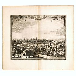
La ville de Dantzic dans la Prusse Royale.
Decorative view of Danzig. This well executed engraving was published in 1719 by Pieter van der AA, in Leiden in "Les Voyages tres-curieux et tres-renommez faits en ...
Place & Date: Leiden, 1719
Selling price: $300
Sold in 2019
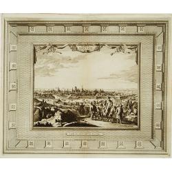
La ville de Dantzic dans la Prusse Royale.
Fine and uncommon panoramic view of Dantzig. The view is printed within a large, elaborately engraved mock-frame border, which was prepared with a blank center so that th...
Place & Date: Leiden, 1720
Selling price: $350
Sold
Nouvelle Carte de Pologne.
Henri Abraham Chatelain was a Amsterdam-based geographer and publisher. His main product is the 'Atlas Historique et Méthodique', in seven volumes, published between 171...
Place & Date: Amsterdam, c.1720
Selling price: $275
Sold
Tractuum Borussiae, circa Gedanum et Elbingam..
A decorative map including Gdansk, Elblag and Malbork.
Place & Date: Amsterdam, 1720
Selling price: $550
Sold
Dantzick.
A very RARE panoramic view of Danzig, including a numbered legend in the lower part.The plate is numbered in red pencil in upper right corner.Engraved by Jean Crepy (the ...
Place & Date: Paris, 1690-1720
Selling price: $350
Sold in 2008
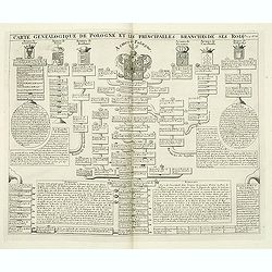
Carte genealogique de Pologne et les princiales. . .
A genealogical tree of the Polish rules from 9th - 17th century. This impressive engraving is a wonderful example of Chatelain’s elegant plates from his "Atlas His...
Place & Date: Amsterdam, ca. 1720
Selling price: $260
Sold in 2012
Les trois isles appellées. . . Dantzic Marienbourg et Elbing dans la Prusse Royale. . .
Fine and uncommon map including the town of Danzig and the region south of it. East to the top.From van der Aa's very rare work La galerie agréable du Monde. Very attrac...
Place & Date: Leiden, 1720
Selling price: $300
Sold in 2015
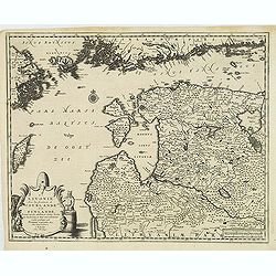
La Lavonie Avec les frontieres de Courlande et de Finlande . . .
Fine and uncommon map showing already quite accurate Livonia, Eastland and Curland. Many villages and towns are named.In the upper part the coast line of Finland.From van...
Place & Date: Leiden, 1720
Selling price: $375
Sold in 2012
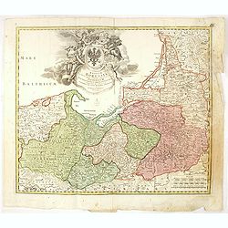
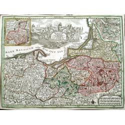
Regnum Borussiae gloriosis auspiciis serenissimi et potentissimi princip. Friderici III primi Borussiae regis march. et elect. Brandenburg inauguratum die 18 Jan...1701.
Map covering the region along the Baltic Sea from Prussia to northern Poland.Beautiful ornamental title cartouche in upper center. Centered on Danzig, Konigsberg, Heilspe...
Place & Date: Nuremberg, 1720
Selling price: $275
Sold in 2016
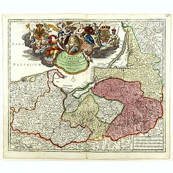
Regnum Borussiae gloriosis auspiciis serenissimi et potentissimi princip. Friderici III primi Borussiae regis march. et elect. Brandenburg inauguratum die 18 Jan...1701.
Map covering the region along the Baltic Sea from Prussia to northern Poland.Beautiful ornamental title cartouche in upper middle with later color addition. Centered on D...
Place & Date: Nuremberg, 1720
Selling price: $350
Sold
Des OberSächßischen Creißes Nordlicher Theil..
Uncommon map of Obersachsen. The originally colored title cartouche is surrounded by mythological figures. From Atlas Portatif.
Place & Date: Nuremberg 1724
Selling price: $200
Sold in 2015
A new map of Poland from the latest Obser.ns
Uncommon map of Poland and Lithuania. In upper right corner "front Page 137". Published in "Patrick Gordon's Geography Anatomiz'd" by John Senex.
Place & Date: London, J. Senex, ca. 1725
Selling price: $105
Sold in 2012
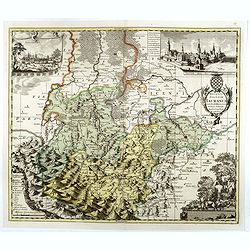
Ducatus Silesiae Iauranus. Aut : Frid : Kühnovio. . .
Rare Pieter Schenk edition of Friedrich Kubn's (Kühnovio) map of Jawor in southwest Poland based on Johann Gottfried Bartsch, map first published in Świdnica (then Schw...
Place & Date: Amsterdam, 1700-1725
Selling price: $1250
Sold in 2017
Regni Poloniae, ducatus Lithuaniae Voliniae, Podoliae Ucraniae Prussiae et Curlandiae Descriptio emendata per R. & I. Ottens.
Very rare map of Poland Lithuania and Ukraine, etc. Engraved by A. Schut.Joachim Ottens (1663 - 1719) and his sons Renier and Joshua were prominent Dutch booksellers and ...
Place & Date: Amsterdam, 1725
Selling price: $2300
Sold in 2017
Regni Poloniae, ducatus Mazoviae et province Cujaviae / descriptio emendata per R. & I. Ottens
Very rare map of Poland Lithuania and Ukraine, etc. Engraved by A. Schut.Joachim Ottens (1663 - 1719) and his sons Renier and Joshua were prominent Dutch booksellers and ...
Place & Date: Amsterdam, 1725
Selling price: $1500
Sold in 2017
Borussiae Regnum cum adjacentibus Regionibus. . .
Seutter's pocket map of northern Poland, Konigsburg (Kaliningrad) and of Lithuania. Includes the cities of Gdansk (Danzig), Elblag (Elbing), Malbork (Marienburg), Lidzbar...
Place & Date: Augsburg, ca. 1725
Selling price: $27
Sold in 2018
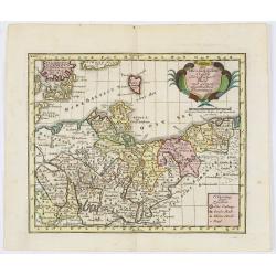
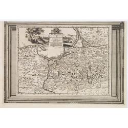
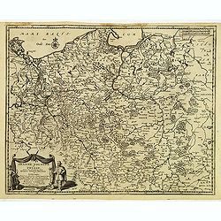
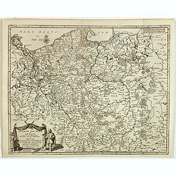
La Prusse, suivant les nouvelles observations..
Scarce edition of this map of Prussia, Poland and Northern Germany. With decorative title cartouche upper part.This example is unusual in having the additional separately...
Place & Date: Amsterdam, 1728
Selling price: $190
Sold in 2009
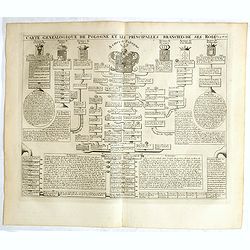
Carte genealogique de la Pologne et les principalles branches ses rois.
Genealogical tree, showing the lineage of the Polish Kings, dating back to 700. Henri Abraham Chatelain (1684 – 1743) was a Huguenot pastor of Parisian origins. He live...
Place & Date: Amsterdam, 1728
Selling price: $100
Sold in 2018
Grande Pologne et Prusse avec les frontières de la Misnie, Lusace, Moravie et Lithuanie.
Detailed map of Poland and Prussia. Published by Pieter van der Aa who published a.o. "Naauwkeurge versameling der gedenkwaardigste zee- en land-reysen", a seri...
Place & Date: Leiden, 1729
Grande Pologne et Prusse avec les frontières de la Misnie, Lusace, Moravie et Lithuanie
Fine map of Poland. This well executed engraving was published in 1729 and 1727 by Pieter van der AA, in Leiden in "Les Voyages tres-curieux et tres-renommez faits e...
Place & Date: Leiden, 1729
Selling price: $400
Sold in 2020
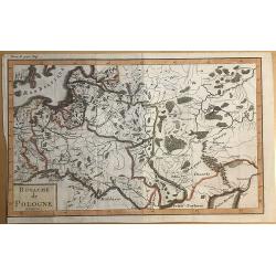
Royaume de Pologne.
Striking map of Poland. It is from “METHODE POUR ETUDIER L’HISTOIRE” by L’Abbe Lenglet du Fresnoy, pulished in Paris in 1729. The map is quite rare and is not now...
Place & Date: Paris, 1729
Selling price: $100
Sold in 2019
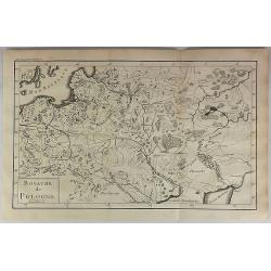
Royaume de Pologne.
Striking map of Poland. It is from “METHODE POUR ETUDIER L’HISTOIRE” by L’Abbe Lenglet du Fresnoy, published in Paris in 1729. The map is quite rare and is not no...
Place & Date: Paris, 1729
Selling price: $60
Sold in 2018
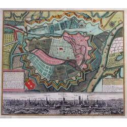
Dantiscum f. Gedanum.../ Dantzig eine berühmte...
SCARCE town-plan of Danzig (Gdansk) in Poland. Superbly engraved and very detailed map of the city and the fortifications. Also showing fields, woods, a few buildings, ou...
Place & Date: Augsburg, 1730
Selling price: $450
Sold in 2013
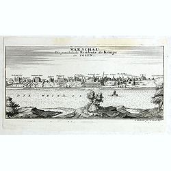
Warschau die gewöhnliche Residenz der Könige in Polen.
Very rare panoramic view of Wachau published by Gabriel Bodenehr, first state without the text on the left.
Place & Date: Augsburg, 1730
Selling price: $500
Sold in 2018
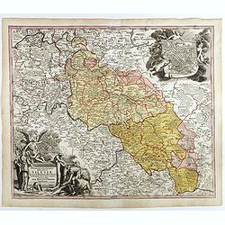
Superioris et inferioris ducatus Silesiae in suos XVII minores principatus et dominia divisi nova tabula. . .
Detailed map of the region dissected by the Oder, showing Wroclaw, Breslau, Silesia, with a large cartouche and large inset plan of Brelaw, held aloft by Cherubs. Shows c...
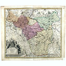
Place & Date: Nuremberg, ca. 1730
Selling price: $155
Sold in 2018
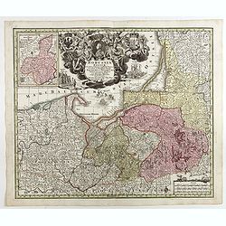
Borussiae Regnum sub fortissimo Tutamine et justissimo Regimine Friderici Wilhelmi. . .
Covers Prussia, Pomerania, Planica, Hockerlandia, Pomesania, Warmiaermelandia, Natanglensis, Galindia, Nandrovia, Sclavonia, and the Baltic Sea.In top center a large cart...
Place & Date: Augsbourg, 1730
Selling price: $165
Sold in 2017
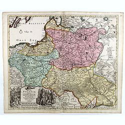
Regni Poloniae Magnique Ducatus Lithuaniae Nova et exacta tabula ad memtem Starovolcy descripta . . .
Map of Poland, Lithuania, Latvia, Estonia and a portion of Russia and the Ukraine, extending from the Oder to the Black Sea and Smolensk, centered on Vilna.
Place & Date: Nuremberg, ca. 1730
Selling price: $375
Sold in 2018
HAUTE VOLHYNIE ou PALATINAT DE LUSUC,titre de la grande carte de l Ukraine du S.le Vasseur de Beauplan.
Fine map of Volinia, a region actually in North West Ukraine, at that time territory of Poland Federation.The map has been prepared by Robert ( de Vaugondy ) in Paris and...
Place & Date: Paris, 1730
Selling price: $1000
Sold in 2019
BASSE PODOLIE ou PALATINAT DE BRACLAW ,tiré de la Grande Ukraine de S. le Vasseur de Beauplan.
Fine map of Podolia ,a region actually in North West Ukraine ,but that time territory of Poland Confederation. This map by Robert ( de Vaugondy ) has been based in the pr...
Place & Date: Paris, 1730
Selling price: $1000
Sold in 2019




![[Varsovie]](/uploads/cache/24496-250x250.jpg)
![[Varsovie].](/uploads/cache/37246-250x250.jpg)
![[Varsovie].](/uploads/cache/45606-250x250.jpg)
