Browse Listings in Europe > Netherlands > Limburg > maps
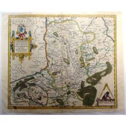
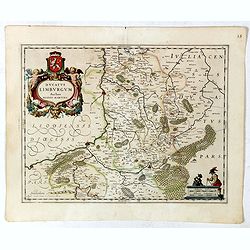
Limburgensis Ducatus Nova Descriptio . .
This hand colored Mercator/Hondius map of the Duchy of Limburg is now of northeastern Belgium and southern Netherlands. Large title cartouche with coat of arms. Latin tex...
Place & Date: Antwerp, 1603
Selling price: $275
Sold in 2015
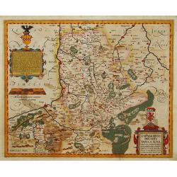
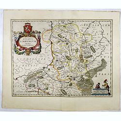
Limburgensis Ducatus Tabula Nova..
Map of Limburg, prepared by the Antwerp expert in law and mathematics Aegidius Martini. After 1600 Jan Baptist Vrients acquired the stock and the plates of Ortelius' Thea...
Place & Date: Antwerp 1606-1612
Selling price: $1050
Sold
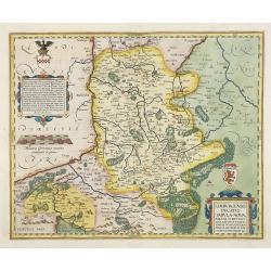
Limburgensis Ducatus Tabula Nova.
Map of Limburg, prepared by the Antwerp expert in law and mathematics Aegidius Martini. After 1600 Jan Baptist Vrients acquired the stock and the plates of Ortelius' Thea...
Place & Date: Antwerp, 1606-1612
Selling price: $950
Sold in 2010
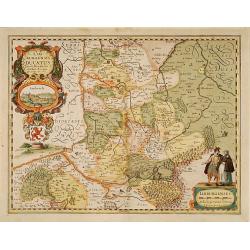
Limburgensis Ducatus.
In 1616 prepared by Aegidio Martini. Includes the towns of Maastricht as well as of Aachen. A very large title cartouche which includes a panoramic view and two citizens ...
Place & Date: Amsterdam 1617
Selling price: $880
Sold
Limburgensis Ducatus Nova Descriptio.
Map of Limburg, prepared by the Antwerp expert in law and mathematics Aegidius Martini.
Place & Date: Amsterdam, 1630
Selling price: $200
Sold in 2020
Limburgensis Ducatus Nova Descriptio.
Map of Limburg, prepared by the Antwerp expert in law and mathematics Aegidius Martini.
Place & Date: Amsterdam, 1630
Selling price: $900
Sold in 2015
Limburgensis Ducatus Nova Descriptio.
Map of Limburg, prepared by the Antwerp expert in law and mathematics Aegidius Martini.
Place & Date: Amsterdam, 1630
Selling price: $250
Sold in 2008
Nouvelle carte de S. Stevens=Weert avec ces fortifications. Anno 1633.
A very rare map of the siege of Stevensweert. In upper part a second map of the river Maas from Maastricht until Venlo. Prepared P. Chatel and F. Boullain, engraved by A....
Place & Date: Brussels, 1633
Selling price: $1500
Sold in 2015
Fossa quae a Rheno ad Mosam duci caepta est Anno CLC ICCXXVII.
FIRST STATE without the coats of arms and it final title "Fossa Sanctae Mariae." - Only included in a few early editions.Detailed map of part of the country bet...
Place & Date: Amsterdam, 1634
Selling price: $60
Sold
Fossa Eugeniana que a Rheno ad Mosam..
Detailed map of part of the country between rivers Rhine and Meuse showing a canal to be dug between 1626 and 1628 between Rheinberg in Germany and Venlo. A deficiency of...
Place & Date: Amsterdam 1639
Selling price: $280
Sold
Ducatus Limburgum.
Decorative map of Belgium that is centered roughly on the Meuse River (Latin Mosa) and its cities of Hoy, Liege, and Maastricht. Finely detailed to show numerous towns an...
Place & Date: Amsterdam, 1645
Selling price: $100
Sold in 2019
Ducatus Limburgum.
Decorative map of Dutch and Belgium Limburg that is centered roughly on the Meuse River (Latin Mosa) and its cities of Hoy, Liege, and Maastricht. Finely detailed to show...
Place & Date: Amsterdam, 1645
Selling price: $110
Sold in 2018
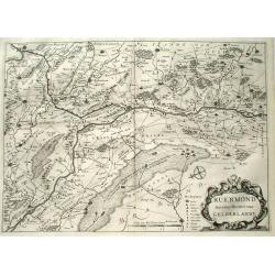
Ruermond, Het Over Vierdeel van Gelderlandt
Rare map of the southern part of the former duchy of Gelre, now a part of the Dutch province of Limburg. The map shows the area of Northern Limburg and the eastern part o...
Place & Date: Arnhem 1653
Selling price: $425
Sold
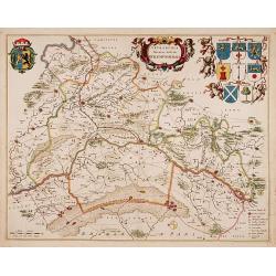
Tetrachia Ducatus Gelriae Rurmundensis.
East to the top. Covering northern part of Limburg, including the towns of Gennip, Geldern, Venlo, Roermond, Weert. In top coats of arms of 8 cities and the province. Rar...
Place & Date: Amsterdam, 1664
Selling price: $750
Sold in 2018
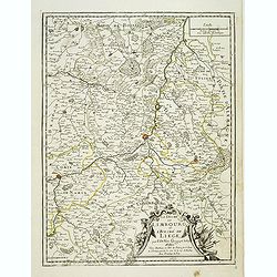
Le duché de Limbourg et l'Eveché de Liege . . .
Detailed map of the duchy of Limburg and diocese of Liege. With fine title cartouche lower right. Dated 1675.More about [+]
Place & Date: Paris, 1675
Selling price: $150
Sold in 2019
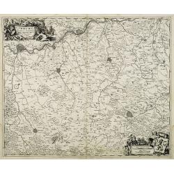
Limburgi Ducatus et Comitatus Valkenburgi. . .
The map describes the southern part of Limburg and reaches into Belgium (Liege, Verviers) and Germany (Aachen). It has two very decorative cartouches.
Place & Date: Amsterdam, 1680
Selling price: $250
Sold in 2018
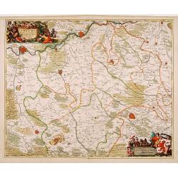
Limburgi Ducatus et Comitatus Valckenburgi Nova Descriptio Per N. Visscher.
The map describes the southern part of Limburg and reaches into Belgium (Liege, Verviers) and Germany (Aachen). The map has two decorative cartouches, etched by Mr. Romey...
Place & Date: Amsterdam, 1684
Selling price: $150
Sold in 2018
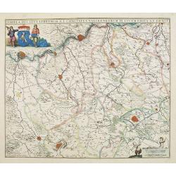
Tabula ducatus Limburch et comitatus Valckenburch. . .
The map describes the southern part of Limburg and reaches into Belgium (Liége, Verviers) and Germany. With two very decorative cartouches.
Place & Date: Amsterdam, 1690
Selling price: $200
Sold in 2021
Gueldre espagnole, ou quartier de Ruremonde. . .
Fine map covering the are between the rivers Maas and Rhine, in North Limburg and part of German Gelderen. Including the towns of Gennep, Maaseik, Roermond, Venlo, up to ...
Place & Date: Amsterdam, 1692
Selling price: $50
Sold in 2021
Carte Particuliere des environs de Roermonde, Venlo, le Mararais de Peel, &c.
Detailed map of the area of Roermond, Venlo, Eindhoven. Prepared by E.H.Frix.
Place & Date: Amsterdam 1715
Selling price: $80
Sold
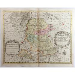
Le Limbourg, Le Duche de Limbourg, Le Comte de Dalem, Les Seigneures de Fauquemont et de Rolduc. . .
A fine and detailed map of Limburg and Dalem in the southern Netherlands. Based on the work of Nicholas Sanson, the map highlights the counties and lordships of Faquemont...
Place & Date: Amsterdam, 1720
Selling price: $3
Sold in 2023
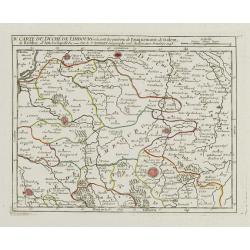
IV. Carte du Duché de Limbourg.. Aix la Chapelle &c.
Attractive small map showing an area straddling the border between the Netherlands, Belgium and Germany.Delimited by the towns of Sittard, Aachen and Dalhem. Dated 1748.F...
Place & Date: Paris, 1748
Selling price: $80
Sold in 2012
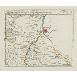
II. Carte de l'Etat de Lyege.. et partie du D.ché de Limbourg.
Attractive small map showing an area straddling the border between the Netherlands, Belgium and Germany. Centered on Roermond. Dated 1748.From Atlas Portatif Universel, b...
Place & Date: Paris, 1748
Selling price: $100
Sold
.jpg)
