Browse Listings in Europe > Netherlands > Holland - North
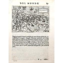
Ollandt.
A fine miniature map of Holland, including a sea-monster and several sailing ships. The map was published by Pietro Marchetti in his Il Theatro del Mondo, an Italian pir...
Place & Date: Venice, ca. 1655
Selling price: $75
Sold in 2019
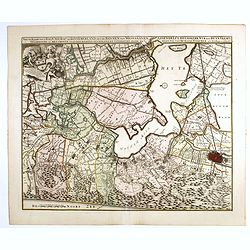
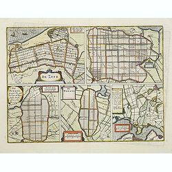
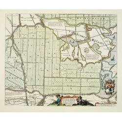
De Zype./ Purmer/ Wormer/ Beemster/ Waterland.
Five maps on one sheet. Showing the polders of De Zype, De Purmer, De Wormer, De Beemster and a map of Waterland, including de Bylmermeer and Monnekedam. Showing the Noor...
Place & Date: Amsterdam, 1652-1658
Selling price: $110
Sold in 2011
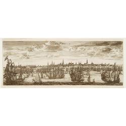
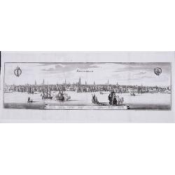
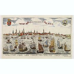
Amsterdam.
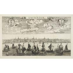
A panoramic view of the town from 't IJ.
Place & Date: Frankfurt, 1659
Selling price: $375
Sold in 2021
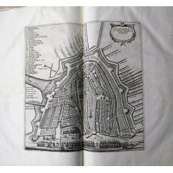
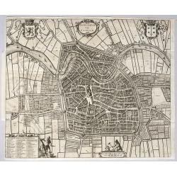
Harlemum vulgo Haerlem. [Haarlem]
Fine plan of Haarlem. Lower left a numbered key (1-67).From JANSSONIUS RARE town book of the Netherlands. Copied after the plan of Blaeu, but much rarer.
Place & Date: Amsterdam 1660
Selling price: $400
Sold
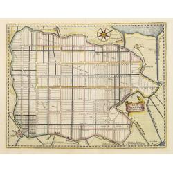
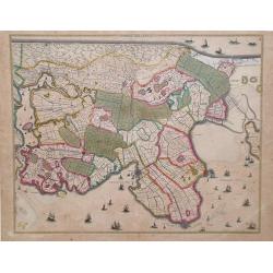
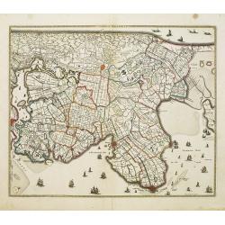
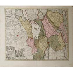
[Waterland, Purmer, and Bijlmer] Kaarte vande Buycker-slooter, Broecker ende Belmer Meeren in Water-land Gemeten door Mr. SN Boonacker. . .
Five maps on one sheet. Showing the polders of De Zype, De Purmer, De Wormer, De Beemster and a map of Waterland, including de Bylmermeer and Monnekedam. Showing the Noor...
Place & Date: Amsterdam, 1660
Selling price: $300
Sold in 2019
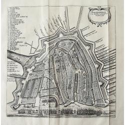
AMSTELREDAM Soo deselue is geweest tot int Jaer 1612
Rare town plan of Amsterdam showing the city in 1612. Very detailed plan showing buildings, canals, streets, and numerous sailing ships in the port. Embellished wit...
Place & Date: Amsterdam, c1660
Selling price: $285
Sold in 2011
Agri Biemstrani Descriptio a L.I.S.
Detailed map of the polder Beemster in Noord Holland. Including the towns of Purmerend, De Ryp, Oudendijk, etc.
Place & Date: Amsterdam, 1661
Selling price: $275
Sold in 2019
Caerte van de Scher-meer Alsoo deselve is Bedyckt, ende by Cavels van 15 Morgen suyver landt door lotinge uytgedelt, op den 25 October Anno 1635, ende aldus met groote verbeteringe int licht gegeven.
Attractive map of the polder Schermer near Alkmaar by Cornelis Ian allers Bogaert and published by Blaeu. At the lower right side a coat of arms of Schermer. In the lower...
Place & Date: Amsterdam, 1661
Selling price: $400
Sold in 2019
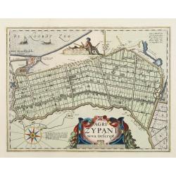
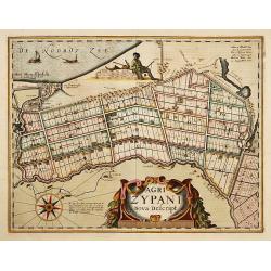
Agri Zypani Nova Descript.
Fine map of the region of the Zype. From a Latin text edition of the Atlas Maior.The copperplate was originally by Petrus Kearius, but was considerably revised by Joan Bl...
Place & Date: Amsterdam, 1662
Selling price: $500
Sold in 2011
Le Comte de Hollande.
Map of northern Holland by Jaillot after Sanson; shows Amsterdam at the very bottom.
Place & Date: Paris, 1662
Selling price: $60
Sold in 2010
Agri Zypani Nova Descript.
Fine map of the region of the Zype. From a French text edition.The copperplate was originally by Petrus Kaerius, but was considerably revised by Joan Blaeu for his Atlas ...
Place & Date: Amsterdam, 1663
Selling price: $275
Sold in 2019
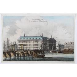
Een ander gesicht van 'T LANDTS MAGAZYN.
A decorative print of the 'T Landts Magazyn, formerly the V.O.C. warehouse and arsenal for the Admiralty of Amsterdam, now-a-days the Scheepvaartmuseum (Maritime Museum)....
Place & Date: Amsterdam, 1663
Selling price: $200
Sold in 2023
La Cour du Prince ou College de l'Admirauté. - HET PRINCEN HOF.
Decorative view of the "Prinsen Hof" in Amsterdam, now-a-days the "Hotel The Grand".Published in a French edition of "Historische Beschrijving de...
Place & Date: Amsterdam, c.1663
Selling price: $50
Sold in 2020
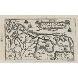
Hollandiae superficialis descriptio.
Charming little map of Holland made by Gabriel Bucelin (1599-1681). Bucelin was a Swiss genealogist and an author of several books and a number of manuscript maps of Germ...
Place & Date: Ulm, Johannes Görlin, 1658-1664
Selling price: $250
Sold in 2008
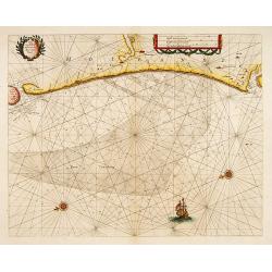
Cust van Hollant tusschen de Maes ende Texel.
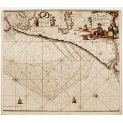
Uncommon and detailed chart of the coast of Holland, including the southern tip of Texel. East at the top. Two fine compass cards, soundings and a large "Bree Veerth...
Place & Date: Amsterdam 1669
Selling price: $570
Sold
De Cust van Hollant Tussen Texel en de Maes. . .
Signed lower right-hand corner: Jacob Colom opt Water Inde Vyerige Colom. Jacob Colom (1600-1673) was a printer, publisher and bookseller in the Fiery Colom in Amsterdam....
Place & Date: Amsterdam, 1669
Selling price: $300
Sold in 2020
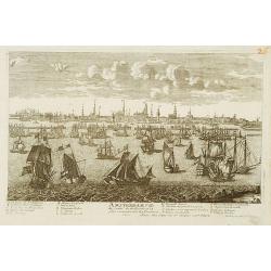
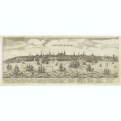
Amstelredam.
Decorative panoramic of Amsterdam, published by Marcus Willemsz. Doornick (1633 - 1703). With extensive shipping on the IJ. Underneath the engraving extensive text : Ams...
Place & Date: Amsterdam, 1670
Selling price: $130
Sold in 2012
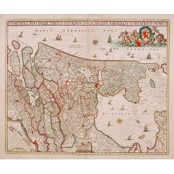
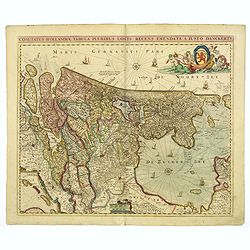
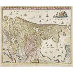
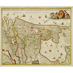
[Lot of 4 maps] Comitatus Hollandiae Tabula Pluribus Locus Recens Emendata a Nicolao Visscher.
The fourth state (of 5) of Claes Jansz. Visscher's attractive map of Holland, published by his grand-son Nicolaas II. Embellished with a cartouche with the coat-of-ar...
Place & Date: Amsterdam, ca. 1670
Selling price: $200
Sold in 2022
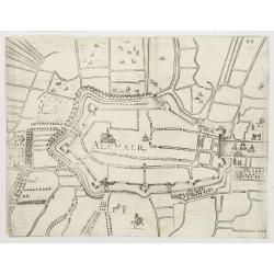
Alkmaar.
Plan of the Dutch town Alkmaar in the now-a-days province Nord Holland. From Priorato's book "Schauplatz dess Niderlands", printed and edited in Vienna 1673.
Place & Date: Vienna 1673
Selling price: $50
Sold
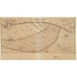
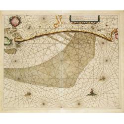
Cust van Hollant Tusschen de Maes ende Texel.
A sea-chart of the coast of Holland with the "Bree Veertien", the large shallow which lays before the coast. Embellished with two cartouches, a ship and two com...
Place & Date: Amsterdam, 1676
Selling price: $250
Sold in 2019
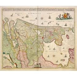
Comitatus Hollandiae Tabula Pluribus Locus Recens Emendata a Nicolao Visscher.
West to the top. Very fine map of the province of Holland, here in a 4th state.
Place & Date: Amsterdam 1677
Selling price: $500
Sold in 2015
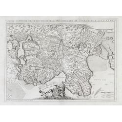
Rhenolandia, Amstelandia et Circumjacentia aliquot Territoria, cum Aggeribus omnibus Terminisq . . .
Decorative folio map of the region surrounding Amsterdam orientated with north to the right edge, encompassing Haarlem, Leiden, The Hague and Gouda. Blank on verso. Certa...
Place & Date: Amsterdam, c.1678
Selling price: $300
Sold in 2012
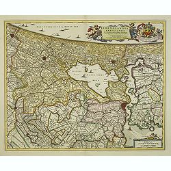
Rhenolandia, Amstelandia..
West to the top. Including towns of Amsterdam, Weesp, Gouda, Den Haag and Leiden. Very decorative title cartouche with dedication to Johan Hudde, senator of Amsterdam.
Place & Date: Amsterdam 1680
Selling price: $760
Sold
Rhinolandiae, Amstelandiae et circumiacent. Aliquot territor . . .
Map centered on The Hague, Leiden, Haarlem, Amsterdam, Gouda, etc. West to the top. Prepared by Balthasar Floris van Berkenrode.BR>Originally the plate was published b...
Place & Date: Amsterdam, 1680
Selling price: $250
Sold in 2009
Noordt Hollandt.
A detailed map of the northern part of Holland. At that time practically all polders -with the exception of the IJ-polder- had already been reclaimed.
Place & Date: Amsterdam, 1680
Selling price: $100
Sold in 2009
Amsterdam.
Beautiful panoramic town-view Amsterdam seen from the IJ. Extensive shipping in the foreground. Coats-of-arms of the town in top. A label has been pasted underneath the c...
Place & Date: Paris, ca. 1680
Selling price: $700
Sold in 2009
Noordt Hollandt
Map of Noord Holland region, in northern region of The Netherlands, showing cities of Enkhuizen and Medemblick. A variety of ships and sea vessels are depicted in the Mar...
Place & Date: Amsterdam, 1680
Selling price: $165
Sold in 2010
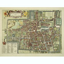
Haga Comitis Vulgo 'S Graven-Hage.
A very RARE bird's-eye town-plan of The Hague. The work was copied after Joan Blaeu.The plan is finely engraved and provides superb detail of the city's important buildin...
Place & Date: Amsterdam, 1680
Selling price: $550
Sold in 2012
Noordt Hollandt.
A detailed map of the northern part of Holland. At that time practically all polders -with the exception of the IJ-polder- had already been reclaimed.
Place & Date: Amsterdam, 1680
Selling price: $250
Sold in 2014
Comitatus Hollandiae. . .
Scarce Danckerts edition of this decorative map of the Netherlands. It includes decorative cartouche, compass rose, coat of arms, sailing ships, etc. Orientated west to t...
Place & Date: Amsterdam, 1680
Selling price: $140
Sold in 2017
Nieuwe Paskaert van de kust van Hollandt tussen Texel en..
Sea-chart of the coast of Holland with large decorative cartouche, depicting scenes related to cheese producing.
Place & Date: Amsterdam 1681
Selling price: $720
Sold
AMSTERDAM Gelyek die geweest is tot dem jare 1658.
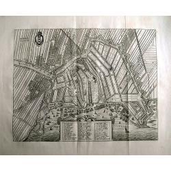
Rare town plan of Amsterdam.Embellished with the coat of arms and a cartouche holding the legend. A very detailed plan showing buildings, canals, streets, windmills, fiel...
Place & Date: Amsterdam, 1663-1683
Selling price: $240
Sold in 2011
AMSTERDAM alsoo het geweest is inden jare 1482 tot den jare 1601.
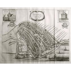
Rare town plan of Amsterdam, showing the city with detailed buildings and houses, canals, bridges, etc. Decorated with the coat of arms, two inset views of the "Stad...
Place & Date: Amsterdam, 1663-1683
Selling price: $325
Sold in 2011
Amsterdam Gelijck die geweest is tot den irae 1658.
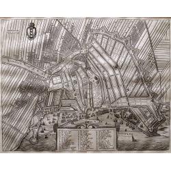
Rare town plan of Amsterdam. Embellished with the coat of arms and a cartouche holding the index key. Very detailed plan showing buildings, canals, streets, windmills, fi...
Place & Date: Amsterdam, 1663-1683
Selling price: $210
Sold in 2015
Comitatus Hollandiae Tabula Pluribus Locis Recens Emendata.
Third state of 5) of this popular map of Holland, copied by F. de Wit, J. Danckerts and C. Allard and P. Schenk up to late in the 18th century. Bottom left corner an inse...
Place & Date: Amsterdam, 1684
Selling price: $750
Sold in 2010
Hand-vesten, Privilegien, Octroyen, Costumen en Willekeuren der Stad Amstelredam.
Very rare work on Amsterdam. With one page-sized map of the area around Amsterdam, and three (two double-page) scarce town plans. Folio, 1208 pages, two titles, plus regi...
Place & Date: Amsterdam, 1662-1684
Selling price: $490
Sold in 2020
Amsterdam.
A rare panoramic view of the city of Amsterdam from 't IJ, with keys numbered from 1-21 to the principal buildings. A very decorative print with extensive shipping. Etchi...
Place & Date: Augsburg, ca. 1685
Selling price: $200
Sold in 2012
Contado d'Ollanda Parte Meridionale Dedicato All' Illustrissimo. . .
A beautifully engraved map of the central part of Holland locating the cities of Leiden, The Hague, Delft, Rotterdam, Breda, Utrecht, Amersfoort, s'Hertogenbosch, etc. Th...
Place & Date: Venice, 1688
Selling price: $250
Sold in 2018
Novissima Amstelodami Tabula per I. Bormeester
Kip's rare and decorative city map of Amsterdam, with excellent detail on the houses, streets, canals and the harbour. Orientation: south-southwest top. With a panoramic ...
Place & Date: Amsterdam, 1688
Selling price: $690
Sold in 2023
Comitatus Hollandiae tabula pluribus..
West to the top. Lower left inset of the Wadden Islands, Texel, Vlieland, Terschelling and part of Ameland.
Place & Date: Amsterdam 1690
Selling price: $600
Sold
Hollandiae Pars Meridionalior Vulgo Zuyd-Holland.
A regional map of Holland by Nicholas Visscher depicting major cities such as Breda, Gouda and Gorcum and major river systems and bodies of water. A very detailed cartouc...
Place & Date: Amsterdam, circa 1690
Selling price: $110
Sold in 2010
Hollandiae comitatus in esjudem subjacentes dittones..
Prepared after Dou and Broeckhuysen. The map bears a long Dutch and Latin title and is orientated to the north. It was engraved by G.Gouwen.
Place & Date: Amsterdam, 1690
Selling price: $279
Sold in 2015
Harlemum, vulgo Haerlem, by Gregorio Leti, 1690.
A detailed and very decorative bird's-eye view of the Dutch city of Haarlem, with the city's and the province's coats of arms, together with two decorative cartouches at ...
Place & Date: Amsterdam, 1690
Selling price: $660
Sold in 2020
Comte de Hollande dresse sur les Memoires les plus Nouveaux . . .
Fine map of the province of Holland, ornated with a rococo title cartouche incorporating five scales. This cartouche has also a dedication to Le Dauphin with his coat of ...
Place & Date: Amsterdam, 1692
Selling price: $300
Sold in 2018
Amsterdam met des selfs omleggende landen.
Late 17th city plan of Amsterdam, from "Beschryvinge van Amsterdam, (...)," by Casparus Commelin. Very detailed plan of the city showing fields, fortifications,...
Place & Date: Amsterdam, 1693
Selling price: $110
Sold in 2012
Carte des Entrees du Suyder Zee et de l'Embs... entre la Hollande et la Frise. . .
Full title at bottom right: 'Carte des Entrees du Suyder Zee et de L’Embs avec les Isles Bancs et Costes Comprises entre La Hollande et la Frise Orientale' From: Pierre...
Place & Date: Amsterdam, 1693
Selling price: $600
Sold in 2022
Amstelodamum cum antiquis et Neperrimis pomoeriis.
A very decorative and rare bird's-eye view of the town. The plan shows the garden plots of the patrician houses lining the Heren-, Keizers- and Prinsengracht in contrast ...
Place & Date: Amsterdam 1694
Selling price: $3325
Sold
Amsterdam aan de Waterkant vanaf 't IJ te Sien.
A panoramic view of the town from 't IJ. Engraved by Daniël Stoopendaal.Dare to go in Black. All early maps were printed in black and white; many were kept that way for ...
Place & Date: Amsterdam, 1694
Selling price: $300
Sold in 2023
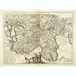
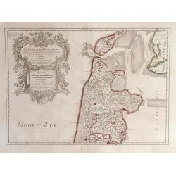
Parte Septtentrionale Dell'Hollanda, vulgo Westuriesland en Tnoorder Quartier. . .
Detailed map of the West Friesland region of northwestern Holland by Vincenzo Coronelli that shows the cities of Amsterdam and Haarlem af the left side of the map.. This ...
Place & Date: Venice, 1695
Selling price: $160
Sold in 2010
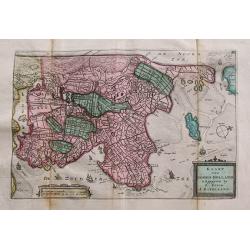
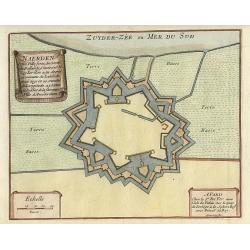
Naerden.
Nice plan of Naarden.
Place & Date: Paris 1696
Selling price: $80
Sold
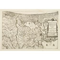
La Rhinlande Amstellande et Terres Circovosines..
Attractive map of the province of Holland, from the atlas "de Vyerighe Colom".
Place & Date: Amsterdam, 1696
Selling price: $86
Sold
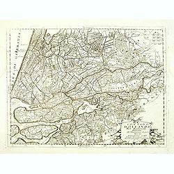
Contado d'Ollanda parte settentrionale / Contado d'ollanda parte meridionale. . .
A beautifully engraved two-sheet map of Holland locating the cities of Leiden, The Hague, Delft, Rotterdam, Breda, Utrecht, Amersfoort, s'Hertogenbosch, etc. The region i...
Place & Date: Venice, ca. 1696
Selling price: $500
Sold in 2012
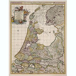
Contado d'Ollanda parte settentrionale / Contado d'ollanda parte meridionale. . . [two sheet map]
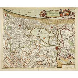
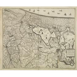
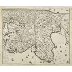
A beautifully engraved two-sheet map of Holland locating the cities of Leiden, The Hague, Delft, Rotterdam, Breda, Utrecht, Amersfoort, s'Hertogenbosch, etc. The region i...
Place & Date: Venice, ca. 1696
Selling price: $250
Sold in 2020
Comitatus Hollandiae tabula pluribus..
West to the top. Lower left inset of the Wadden Islands, Texel, Vlieland, Terschelling and part of Ameland.
Place & Date: Amsterdam 1698
Selling price: $480
Sold
Parte septtentrionale dell' Hollanda, vulgo Westuriesland en Tnoorder Quartier. . .
A beautifully engraved map of northern Netherlands or "West Friesland", including the towns of Amsterdam, Hoorn, Haerlem, t'Huys, Edam, etc. The region is fille...
Place & Date: Venice, 1698
Selling price: $240
Sold
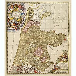
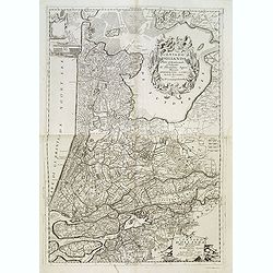
Kennemaria et Westfrisia vulgo et vernacule Noord Holland.
A most decorative map, in bright full original colors, of the northern part of Holland. At that time practically all polders -with the exception of the IJ-polder- had alr...
Place & Date: Amsterdam, 1698
Selling price: $350
Sold in 2012
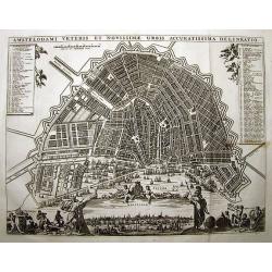
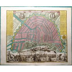
AMSTELODAMI VETERIS ET NOVISSIMAE URBIS ACCURATISSIMA DELINEATIO
SCARCE and unknown city plan of Amsterdam by or after (?) Visscher. Smaller edition of Visschers famous map of Amsterdam from ca. 1678. Embellished with numerous figures...
Place & Date: ca. 1700
Selling price: $600
Sold in 2011
T' LANTS MAGESYN.
A decorative print of the 'T Landts Magazyn of the V.O.C. now-a-days the Maritime Museum.
Place & Date: Amsterdam, 1700
Selling price: $300
Sold in 2023
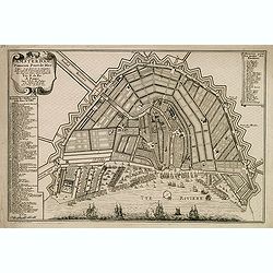
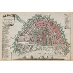
Amsterdam, fameux port de mer. . .
Fine town-plan of Amsterdam. Key at left identifies 83 important sites within the city. Key at upper right identifies the 26 "bastions" around the city walls, e...
Place & Date: Paris, 1701
Selling price: $100
Sold in 2012
Amsterdam, Fameux port de mer.
Plan of Amsterdam, engraved by Van Loon, from De Fer's Atlas Curieux.
Place & Date: Paris, 1705
Selling price: $300
Sold in 2010
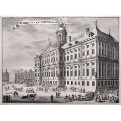
'T Stadhuys van Amsterdam.
Fine view of the City Hall in Amsterdam. A very busy scene with numerous people, horses, dogs, etc. Published in 'Algemene Wereldtbeschrijving', by Francois Halma, printe...
Place & Date: Leeuwarden, 1705
Selling price: $36
Sold in 2016
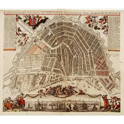
Amstelodami Veteris et Novissimi Delineatio..
A rare contemporary colored town-plan of Amsterdam with a panoramic inset view of the harbour and city. Jacob de la Feuille (1668-1719) was mapmaker, engraver and publish...
Place & Date: Amsterdam 1706
Selling price: $2125
Sold
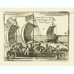
Carro, che uà à vela Su le Piagge di Schevelingue.
Italian version of Prince Maurits' sailing carriage designed by Simon Stevin. The big sailing-carriage could seat 28 persons and could reach a speed of seven miles per ho...
Place & Date: Venice, 1707
Selling price: $100
Sold in 2012
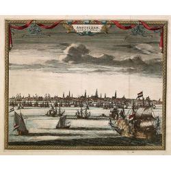
Amsterdam
A panoramic view of Amsterdam seen from 't IJ. A very decorative print with extensive shipping.From "Les Délices de la Hollande.. Ouvrage Nouveau sur le p...
Place & Date: The Hague 1710
Selling price: $150
Sold
Nieuwe Kaerte van t'Baljuwschap van Kennemerland met de Bannen van Westsaanen, Assendelft, Heemskerk . . .
Rare map prepared by Elisabeth Visscher who was the widow of Nicolas Visscher and republished by Petrus Schenk. East to the top. Including Haarlem, Heemskerk, Velsen, etc...
Place & Date: Amsterdam, 1715
Selling price: $600
Sold in 2017
Amsterdam. Capitale de la Hollande.
A panoramic view of the town of Amsterdam seen from 't IJ.Rare.
Place & Date: Leiden 1720
Selling price: $360
Sold
Amsterdam Ville du Comte de Hollande.
A very RARE panoramic view of the city of Amsterdam, including a legend in the lower both corners.The plate is numbered in red pencil in upper right corner.Engraved by Je...
Place & Date: Paris 1690-1720
Selling price: $520
Sold
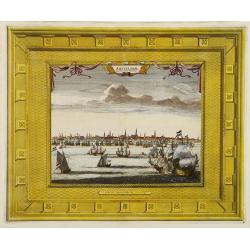
Amsterdam Capitale de la Hollande.
A panoramic view of the town of Amsterdam seen from 't IJ. Set within a decorative border, printed from a separate plate.Uncommon.
Place & Date: Leiden, 1720
Selling price: $150
Sold in 2008
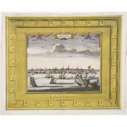
Amsterdam Capitale de la Hollande.
A panoramic view of the town of Amsterdam seen from 't IJ. Set within a decorative border, printed from a separate plate. Rare.
Place & Date: Leiden, 1720
Selling price: $275
Sold in 2009
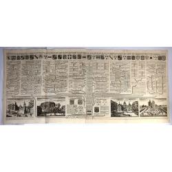
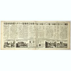
Carte Genealogique de la Maison de Wassenaar ...
A magnificent large copper engraved chart, featuring the genealogy of the House of Wassenaar in Holland. There are four fine topographical engravings, and 41 coats of arm...
Place & Date: Paris, 1720
Selling price: $32
Sold in 2016
Carte genealogique de la maison des Wassenaar . . .
A magnificent large copper engraved chart, featuring the genealogy of the House of Wassenaar in Holland. There are four fine topographical engravings, and 41 coats of arm...
Place & Date: Amsterdam, 1720
Selling price: $30
Sold in 2017
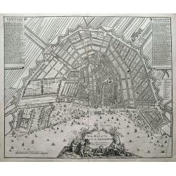
A new map of the city of Amsterdam. . .
A detailed and decorative plan of the city. With numerous streets, windmills, buildings, and sailing ships. 288 streets and 26 buildings are named in the legends. Decorat...
Place & Date: London, 1721
Selling price: $250
Sold in 2018
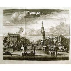
Montalbaans Toren en Waterkeer.
Suberp view of the Montelbaanstoren in Amsterdam. Highly detailed print with buildings, people loading barrels, the watergate, and sailing ships.
Place & Date: Amsterdam, 1726
Selling price: $110
Sold in 2012
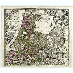
Tabula Comitatus Hollandiae in Praefecturas sua distributa, cui adjuncta est Provinc. Ultraiectina et maxima pars Geldriae summo studio delin. . .
Fine map of the provinces of North and South Holland. In upper left hand corner an inset with the islands of Texel and Vlieland. Just below the inset map a harbour scene ...
Place & Date: Augsburg 1730
Selling price: $77
Sold in 2018
Hollandiae Septentrionalis & Frisiae Occidentalis. . .
Map of the Dutch region of North Holland between Amsterdam, Enkhuizen and Texel island. Large figurative cartouche and inset map of the islands Texel, Vlieland and Tersch...
Place & Date: Amsterdam, ca. 1737
Selling price: $450
Sold in 2009
Hollandiae comitatus una cum Ultrajectino Dominio nec non maximis partibus Geldriae Ducatus / per C. Specht. . .
Scarce map of the center of the Low Countries, with the provinces North and South Holland in full contemporary body colors, with inset map of Texel and Vlieland in upper ...
Place & Date: Amsterdam, 1740
Selling price: $200
Sold in 2020
Plan tres exact de la fameuse ville marchande d'Amsterdam..
Uncommon large scale plan of Amsterdam, with a key (A-X, 1-93) in upper right corner. and a key (94-139) and a map of the region of Amsterdam in upper left corner. In the...
Place & Date: Amsterdam 1740
Selling price: $926
Sold
Amsterdam die Weltberuhmte Haupt-und Handel Statt in Holland auf das neuest und accurateste eintworffen und verlegt.
Birds-eye plan view of Amsterdam, depicting the city's architectural landmarks.Matthaus Seutter the elder first published his "Atlas Geographicus" in 1720 and a...
Place & Date: Augsburg, ca. 1740
Selling price: $230
Sold in 2018
Kaart van Noord-Holland...
Interesting map of the northern part of the Netherlands. Oriented to the west. It extends from Amsterdam northward as far as Texel and southward as far as Enkhuizen. With...
Place & Date: Amsterdam, c1745
Selling price: $15
Sold in 2014
Amsterdam, die weltberuhmte Haupt - und Handel Statt in Holland (..)
A copper engraved map with original hand coloring. Overall size 55 x 68 cm. A beautifully engraved map of Amsterdam, with 2 coat-of-arms, 2 vignettes in the lower corner,...
Place & Date: Augsburg, ca. 1745
Selling price: $800
Sold in 2017
.jpg)
![Harlemum vulgo Haerlem. [Haarlem]](/uploads/cache/15745-250x250.jpg)
![[Waterland, Purmer, and Bijlmer] Kaarte vande Buycker-slooter, Broecker ende Belmer Meeren in Water-land Gemeten door Mr. SN Boonacker. . .](/uploads/cache/11504-250x250.jpg)

![[Lot of 4 maps] Comitatus Hollandiae Tabula Pluribus Locus Recens Emendata a Nicolao Visscher.](/uploads/cache/18172-250x250.jpg)


![Contado d'Ollanda parte settentrionale / Contado d'ollanda parte meridionale. . . [two sheet map]](/uploads/cache/34725-250x250.jpg)
