Browse Listings in Europe > Netherlands > Friesland > maps
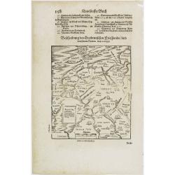
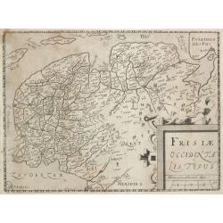
Friesland.
RECTO: A map of Friesland. VERSO: two woodcuts of two mice, one entering a mouse trap, and the other of a pope.Taken from Sebastian Munster's encyclopedic work, the "...
Place & Date: Basle, ca. 1564
Selling price: $50
Sold in 2009
Oost ende West Vrieslandte beschryvinghe.
Prepared by Jacob van Deventer. A very decorative map of the Dutch provinces of Friesland, Groningen and Drente and of the German Province of Friesland. §
Place & Date: Antwerp, 1574
Selling price: $550
Sold in 2011
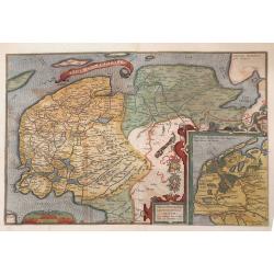
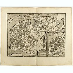
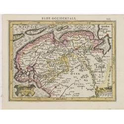
Frisia Occidentalis.
Map of northern province of the Netherlands, Friesland, based from a manuscript map by Sibrandus Leo. Included is and inset of map of the seat of ancient Frisia under emp...
Place & Date: Antwerp, 1579
Selling price: $275
Sold in 2010
Frisia Occidentalis.
Includes the provinces of Friesland and Groningen. The map was prepared by Sibrandus Leonis (Leo Sybrands) from Leeuwarden in 1579. In a large inset a map of the Netherla...
Place & Date: Antwerp 1580
Selling price: $600
Sold
Oost ende West Vrieslandte beschryvinghe.
Prepared by Jacob van Deventer. A very decorative map of the Dutch provinces of Friesland, Groningen and Drente and of the German Province of Friesland.
Place & Date: Antwerp, 1584
Selling price: $750
Sold in 2008
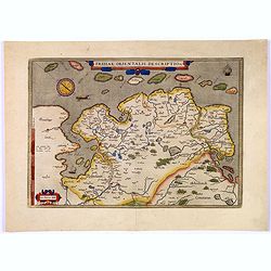
Frisiae Orientalis Descriptio.
Nice example of Ortelius' map of East Friesland, from the 1587 French edition of his Theatrum Orbis Terrarum, the first modern atlas of the world.This map includes a comp...
Place & Date: Antwerp, 1587
Selling price: $110
Sold in 2017
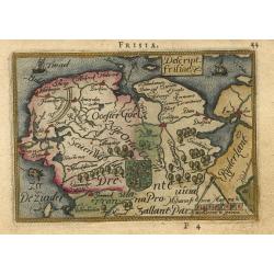
Descript. Frisiae
Charming little map of the northern part of The Netherlands, the Provinces of Friesland, Groningen and part of Drenthe. The map is beautifully engraved with stippled seas...
Place & Date: Antwerp, 1588
Selling price: $230
Sold
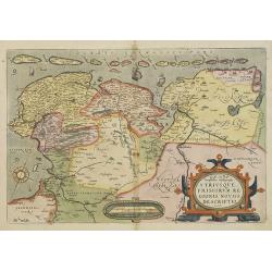
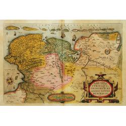
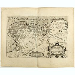
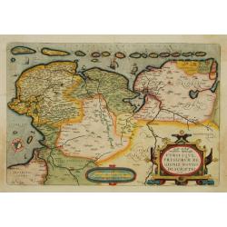
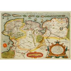
Utriusque Frisiorum Regionis Noviss Descriptio.
From 'Theatrum Orbis Terrarum [Atlas of the Whole World]'. Dare to go in Black. All early maps were printed in black and white, and many were kept that way for a long t...
Place & Date: Antwerp, 1590
Selling price: $240
Sold in 2018
Frisia Occidentalis.
Includes the provinces of Friesland and Groningen. The map was prepared by Sibrandus Leonis (Leo Sybrands) from Leeuwarden in 1579. In a large inset a map of the Netherla...
Place & Date: Antwerp, 1598
Selling price: $250
Sold in 2022
Oost ende West Vrieslandte beschryvinghe.
Prepared by Jacob van Deventer. A very decorative map of the Dutch provinces of Friesland, Groningen and Drente and of the German Province of Friesland.
Place & Date: Antwerp 1598
Selling price: $465
Sold
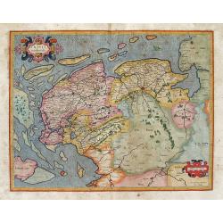
Frisia Occidentalis.
Finely engraved map of the provinces Groningen and Friesland. Mercator was born in Rupelmonde in Flanders and studied in Louvain under Gemma Frisius, Dutch writer, astron...
Place & Date: Amsterdam 1606
Selling price: $410
Sold
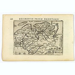
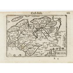
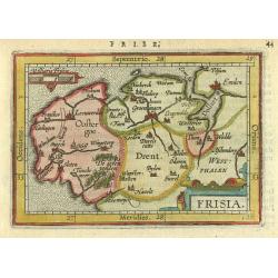
Frisia.
An attractive miniature map of the north Holland, region of Frisia, published by Petrus Bertius, in Amsterdam at the beginning of the seventeenth century. It features a s...
Place & Date: Amsterdam, 1606
Selling price: $60
Sold in 2019
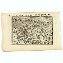
Descriptio Comitatus Embdani.
An original early 17th century copper engraved miniature antique map of East Friesland by Petrus Bertius, that was published in Amsterdam at the beginning of the seventee...
Place & Date: Amsterdam, 1606
Selling price: $40
Sold in 2023
Frisia Occidenta.
Map of the provinces Groningen and Friesland. From the first French-text edition of Jodocus Hondius' Atlas Minor.Shortly after the publication of the big folio-atlases th...
Place & Date: Amsterdam, 1608
Selling price: $50
Sold in 2016
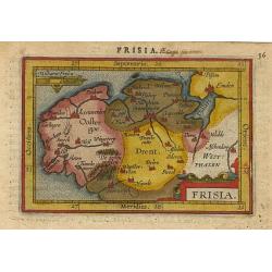
Frisia.
Miniature map of Frisia with also the provinces Drente and Groningen, The upper east part of the Netherlands with major cities named. Sea is stipple engraved. Strapwork t...
Place & Date: Antwerp 1609
Selling price: $80
Sold
Frisia.
A miniature map covering the province of Friesland in Germany. Title cartouche on the lower right corner.First published in 1598 in his Caert-Thresoor, the plates were ex...
Place & Date: Amsterdam/Frankfurt 1609
Selling price: $121
Sold
Frisia occidentalis.
Finely engraved map of the provinces Groningen and Friesland. Prepared by Gerard Mercator and published by Jodocus Hondius.
Place & Date: Amsterdam 1610
Selling price: $395
Sold
Oost ende West Vrieslandte beschryvinghe.
Prepared by Jacob van Deventer. A very decorative map of the Dutch provinces of Friesland, Groningen and Drente and of the German Province of Friesland. Dated 1605.Very a...
Place & Date: Antwerp 1570-1612
Selling price: $800
Sold in 2011
Frisiae Occidentalis Typus.
From Ludovico Guicciardini.'s description of the Netherlands ' Beschrijvinghe van alle de Nederlanden anderssins ghenoemt Neder-Duytslandt ', published by Willem Blaeu.A ...
Place & Date: Amsterdam, W.Blaeu, 1612
Selling price: $140
Sold in 2014
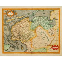
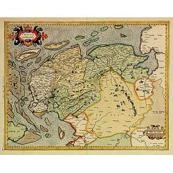
Frisia occidentalis Gerardum Mercatorem cum privilegio.
Highly detailed map of Friesland with Groningen, etc. in The Netherlands. The map was used for Mercator's Atlas Sive Cosmographicae... in 1595. One further edition of th...
Place & Date: Duisburg and then Amsterdam, (1585-95) 1613
Selling price: $185
Sold in 2013
Frisia.
Map of the Province of Friesland, Groningen and Drente, with its major cities and small villages.
Place & Date: Amsterdam 1616
Selling price: $100
Sold
Frisia Occidentalis Auctoribus Adriano Metio et Gerardo Freitag.
Original old colored map of West Friesland with the islands Vlieland, Terschelling und Ameland. With 3 cartouches, two sailing ships, and a compass rose. Published by H. ...
Place & Date: Amsterdam, 1630
Selling price: $550
Sold in 2009
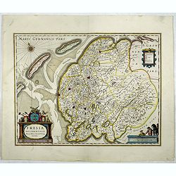
Frisia occidentalis.
Finely engraved map of the northern part of the Netherlands. The map has no text on the verso and is a very good and dark impression, indicating the map originates from t...
Place & Date: Amsterdam, 1631
Selling price: $1500
Sold in 2013
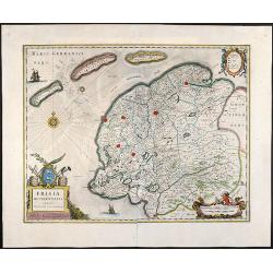
Frisia occidentalis.
This fine map of Friesland was made by the Franeker scientist Adrian Metius. The main towns are shown by miniature plan, attractive title cartouche bottom left, key carto...
Place & Date: Amsterdam, 1637
Selling price: $250
Sold in 2012
Frisia Occidentalis.
Map of Friesland. The main towns are shown by miniature plan, attractive title cartouche bottom left, key cartouche top right, scale cartouche bottom right.More about map...
Place & Date: Amsterdam, 1645
Selling price: $150
Sold in 2020
Frisia Occidentalis, Auctoribus Adriano Metio et Gerardo Freitag
Original old colored map of Friesland in northern Holland with 3 beautiful cartouches, two sailing ships and a compass rose. From \"Atlas Contractus\" published...
Place & Date: Amsterdam, 1666
Selling price: $950
Sold in 2008
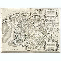
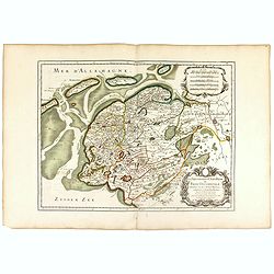
La seigneurie d'ouest-Frise ou Frise Occidentale
Fine map of the Friesland with a decorative title and scale cartouche.Alexis-Hubert Jaillot (1632-1712), was a French cartographer. He joined the Sanson heirs and redrew ...
Place & Date: Paris, 1674
Selling price: $150
Sold in 2013
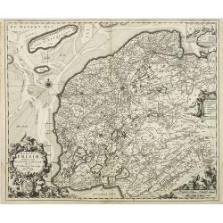
Dominii Frisiae..
This large copper engraved map details the coastline of Friesland and Terschelling. At east is a part of Groningen. The main cities are colored in red. The very decorativ...
Place & Date: Amsterdam ca.1680
Selling price: $130
Sold in 2012
Tabula Comitatus Frisiae.
The map was prepared by B.Schotanus à Steringa.
Place & Date: Amsterdam, 1680
Selling price: $85
Sold in 2013
Tabula Comitatus Frisiae.
The map was prepared by B.Schotanus à Steringa.
Place & Date: Amsterdam 1680
Selling price: $400
Sold
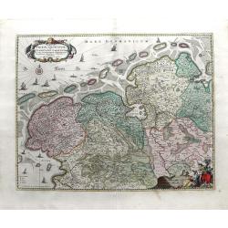
Tabula Frisia, Groninga, et Territorii Emdensis nec non circumjacentium Regionum, puta Transisalaniae, Benthemiae, Westphalae et Oldenburgi
Map of the Friesland and Groningen provinces of northern Holland, including the capital cities of Leeuwarden and Groningen. A beautifully rendered and colored title carto...
Place & Date: Amsterdam, c. 1680
Selling price: $310
Sold in 2010
Dominii Frisia Tabula, inter Flevum et Lavicam.
Map of Friesland, a northern province of the Netherlands. The major cities of Friesland, such as Franeker, Leeuwarden and Sneek. The coat of arms of Friesland is depicted...
Place & Date: Amsterdam, 1677-1684
Selling price: $150
Sold in 2010
Dominii Frisae Tabula, inter Flevumrt Lavicam, Auctore B. Schotano à Sterringa. Ex Officina Nicolai Visscher.
Map of the provinces Friesland. This map was prepared by B.Schotanus à Steringa. Taken from the atlas Germania Inferior, sive XVII Provinciarum Geographicae generales ut...
Place & Date: Amsterdam, 1684
Selling price: $150
Sold in 2010
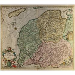
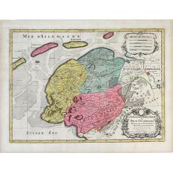
La Seigneurie d'Ovest-Frise ou Frise Occidentale, divisee en ses Trois Parties subdivisees en leurs Juridictions. . .
Map of Friesland, a province in the northern Netherlands by Sanson and published by Covens and Mortier. The three colored regions or shires are Seven Wolden (Seven Forest...
Place & Date: Amsterdam, c. 1690
Selling price: $132
Sold in 2010
La seigneurie d'ouest-Frise ou Frise Occidentale . . .
Fine map of the Friesland with a decorative title and scale cartouche.Alexis-Hubert Jaillot (1632-1712), was a French cartographer. He joined the Sanson heirs and redrew ...
Place & Date: Paris, 1693
Selling price: $130
Sold in 2016
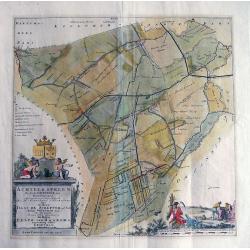
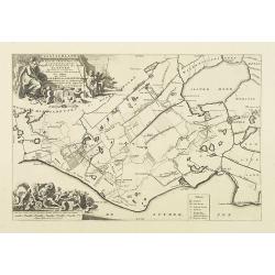
ACHTKERSPELEN De sesde Grietenie van Ooster-goo...
Unusual copper engraving published in the 'Portrayal of Heerlijheit Friesland' by François Halma in 1718. Large scale map showing towns such as Rottevalle, Drogeham, Sur...
Place & Date: Amsterdam, after 1694
Selling price: $115
Sold in 2013
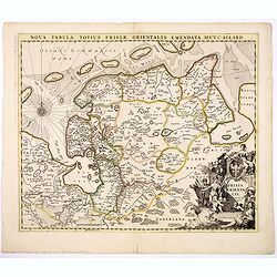
Nova Tabula Totius Frisiae Orientalis.
The map is a cooper engraved map of East Friesland by Carel Allard.
Place & Date: Amsterdam, ca. 1700
Selling price: $50
Sold in 2017
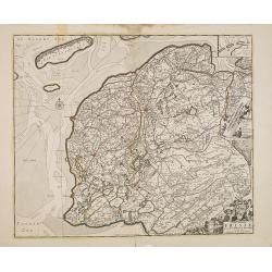
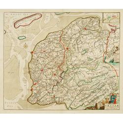
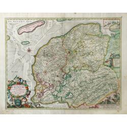
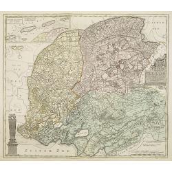
Frisiae dominium vernaculé Friesland. . .
Very detailed and decorative map of Friesland. Upper left hand corner inset map of the Frisian islands. Lower left statue of the Steenen Man of Harlingen. Key map from th...
Place & Date: Amsterdam, 1718
Selling price: $250
Sold in 2013
Frisiae dominium vernaculé Friesland..
Very detailed and decorative map of Friesland. Upper left hand corner inset map of the Frisian islands. Lower left statue of the Steenen Man of Harlingen. Key map from th...
Place & Date: Amsterdam 1718
Selling price: $300
Sold
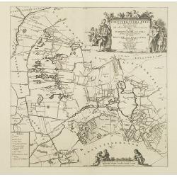
Gaasterland. De zevende Grietenije van de Zevenwolden. . .
Very detailed map of "Gaasterland. De zevende Grietenije van de Zevenwolden" in Friesland prepared by Bernardus Schotanus Steringa. With Sloter Meer and the tow...
Place & Date: Leeuwarden, 1718
Selling price: $250
Sold in 2014
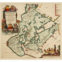
Tjietjerkstera deel. De achtste Grietenije van Ooster-Goo. . .
Very detailed map of "Tjietjerkstera deel. De achtste Grietenije van Ooster-Goo" in Friesland prepared by Bernardus Schotanus Steringa. Centered on Bergum and B...
Place & Date: Leeuwarden, 1718
Selling price: $375
Sold in 2014
De Grietenije van Smallingerland de negende grietenij van Oostergo
Very detailed map of "De Grietenije van Smallingerland de negende grietenij van Oostergo" in Friesland prepared by Bernardus Schotanus van Steringa. With decora...
Place & Date: Leeuwarden, 1718
Selling price: $150
Sold in 2018
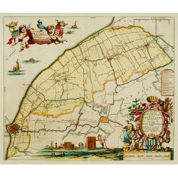
Hemelumer oude vaart en de Noort Woude. . .
Very decorative map including the towns of Staveren, Hindelopen, Workum and several of the Frisian Lakes from the Uitbeelding der Heerlijkheit Friesland prepared by Schot...
Place & Date: Leeuwarden, F.Halma, 1718
Selling price: $600
Sold in 2014
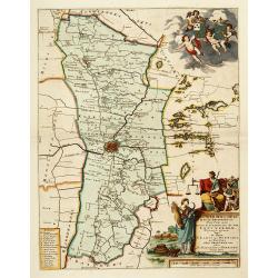
Leeuwerdera deel.. der stad Leeuwerden. . .
Very decorative map centered on Leeuwarden from the Uitbeelding der Heerlijkheit Friesland prepared by Schotanus. With decorative title cartouche lower right mentioning t...
Place & Date: Amsterdam, 1718
Selling price: $500
Sold in 2012
Stellingwerf westeinde, de tiende en laafte Grientenije van de Zevenwolden. . .
Very decorative map, with decorative title cartouche lower right, and with three finely engraved cherubs in the upper left corner holding a coat of arms. From the Uitbeel...
Place & Date: Amsterdam, 1718
Selling price: $240
Sold in 2010
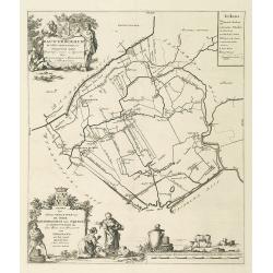
Rauwerderhem de elfde grietenije van Oostergoo . . .
A very detailed map of "Rauwerderhem de elfde grietenije van Oostergoo" in Friesland prepared by Bernardus Schotanus Steringa. Centered on Deersum with in lower...
Place & Date: Leeuwarden, 1718
Selling price: $150
Sold in 2010
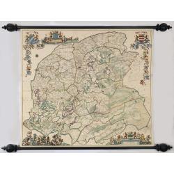
Nieuwe caert van Frieslant vermeerdert en verbetert op ordre en Gedeputeerde Staten door Bernard Schotanus à Sterringa vervaardigd en verbeterd door Johan Vegelin van Claerenbergen.
This very decorative wallmap - the so-called 'Vegelin-map' - is showing the Friesland counties, Oostergo, Westergo and Zevenwolden. The map is embellished with the coats ...
Place & Date: Amsterdam, 1739
Selling price: $4800
Sold
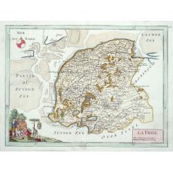
La Frise.
Map of the Dutch province Friesland, decorated with a nice title cartouche and a compass rose in the sea.
Place & Date: Paris 1748
Selling price: $80
Sold
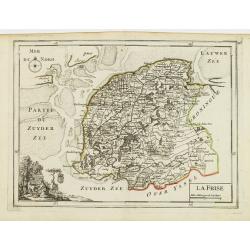
La Frise.
Fine map of Friesland with a decorative cartouche on lower left corner. George Louis Le Rouge was active from 1740- till 1780 as a publisher, and was appointed engineer f...
Place & Date: Paris 1756
Selling price: $60
Sold
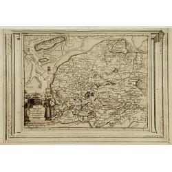
La Frise, suivant les nouvelles observations..
With decorative title cartouche lower left corner.This example is unusual in having the additional separately engraved decorative framework border around the map, the res...
Place & Date: Amsterdam 1728.
Selling price: $220
Sold
.jpg)
