Browse Listings in Europe > Netherlands
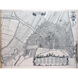
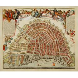
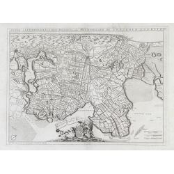
Amsterdam met des selfs omleggende landen.
Late 17th city plan of Amsterdam, from "Beschryvinge van Amsterdam, (...)," by Casparus Commelin. Very detailed plan of the city showing fields, fortifications,...
Place & Date: Amsterdam, 1693
Selling price: $110
Sold in 2012
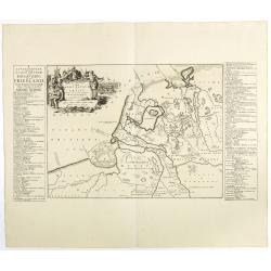
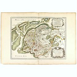
La seigneurie d'ouest-Frise ou Frise Occidentale . . .
Fine map of the Friesland with a decorative title and scale cartouche.Alexis-Hubert Jaillot (1632-1712), was a French cartographer. He joined the Sanson heirs and redrew ...
Place & Date: Paris, 1693
Selling price: $130
Sold in 2016
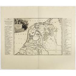
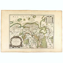
La Seigneurie de Groningue . . .
Fine map of the Groningen in the northern part of the Netherlands with a decorative armorial cartouche and small scale.Alexis-Hubert Jaillot (1632-1712), was a French car...
Place & Date: Paris, 1693
Selling price: $120
Sold in 2016
Carte des Entrees du Suyder Zee et de l'Embs... entre la Hollande et la Frise. . .
Full title at bottom right: 'Carte des Entrees du Suyder Zee et de L’Embs avec les Isles Bancs et Costes Comprises entre La Hollande et la Frise Orientale' From: Pierre...
Place & Date: Amsterdam, 1693
Selling price: $600
Sold in 2022
Amstelodamum cum antiquis et Neperrimis pomoeriis.
A very decorative and rare bird's-eye view of the town. The plan shows the garden plots of the patrician houses lining the Heren-, Keizers- and Prinsengracht in contrast ...
Place & Date: Amsterdam 1694
Selling price: $3325
Sold
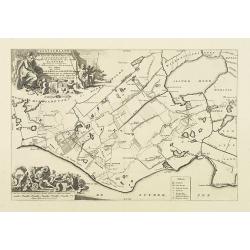
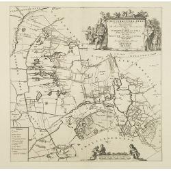
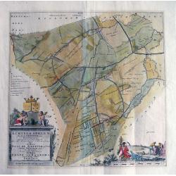
ACHTKERSPELEN De sesde Grietenie van Ooster-goo...
Unusual copper engraving published in the 'Portrayal of Heerlijheit Friesland' by François Halma in 1718. Large scale map showing towns such as Rottevalle, Drogeham, Sur...
Place & Date: Amsterdam, after 1694
Selling price: $115
Sold in 2013
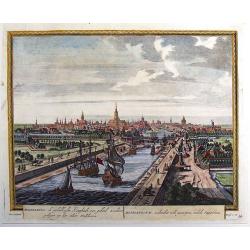
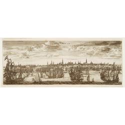
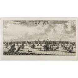
Amsterdam aan de Waterkant vanaf 't IJ te Sien.
A panoramic view of the town from 't IJ. Engraved by Daniël Stoopendaal.Dare to go in Black. All early maps were printed in black and white; many were kept that way for ...
Place & Date: Amsterdam, 1694
Selling price: $300
Sold in 2023
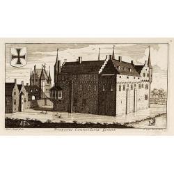
Prospectus Commandariae Gemert.
One of the earliest views of the Castle of Gemert.
Place & Date: Amsterdam, 1695
Selling price: $60
Sold in 2017
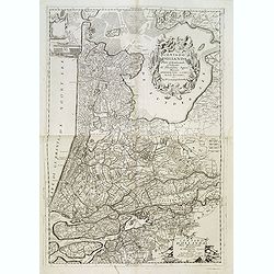
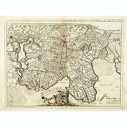
Parte Septtentrionale Dell'Hollanda, vulgo Westuriesland en Tnoorder Quartier. . .
Detailed map of the West Friesland region of northwestern Holland by Vincenzo Coronelli that shows the cities of Amsterdam and Haarlem af the left side of the map.. This ...
Place & Date: Venice, 1695
Selling price: $160
Sold in 2010
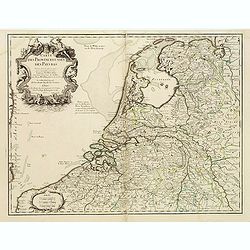
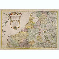
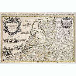
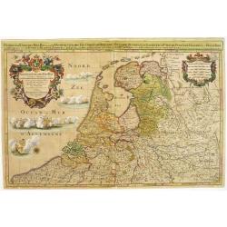
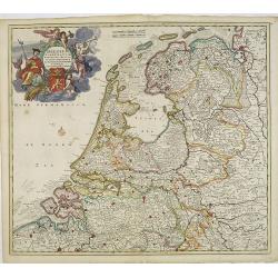
Provinces-Unies des Pays-Bas. . .
A large and most beautiful map of the Netherlands with two decorative title cartouches, fighting ships on the sea: a very decorative map, prepared by N.Sanson and publish...
Place & Date: Paris, c.1695
Selling price: $325
Sold in 2015
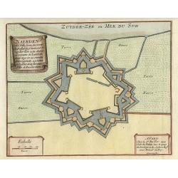
Naerden.
Nice plan of Naarden.
Place & Date: Paris 1696
Selling price: $80
Sold
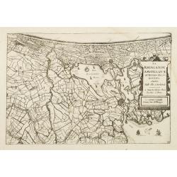
La Rhinlande Amstellande et Terres Circovosines..
Attractive map of the province of Holland, from the atlas "de Vyerighe Colom".
Place & Date: Amsterdam, 1696
Selling price: $86
Sold
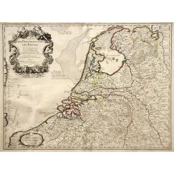
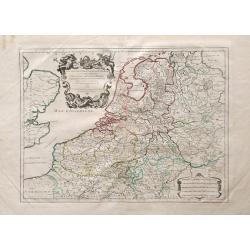
Provinces-Unies des Pays-Bas..
A large and most beautifully colored title cartouche with fighting ships on the sea: a very decorative map, prepared by N.Sanson.Because of its dimensions the map was eng...
Place & Date: Paris, 1696
Selling price: $950
Sold in 2008
Ducatus Brabantia divise in Hispanicam et Batavam?
Carol Allard map of Dutch and Belgium Brabant and Holland with beautiful original color. Shows from cities of Breda, Holland in the north to Namen, Belgium in the south.
Place & Date: Amsterdam, 1696
Selling price: $160
Sold in 2010
Noviffima Comitatus Zutphaniae, Totiufa Fluminis Isulae Descriptio.
A map by Nicholas Visscher from his Atlas Minor showing the regions between Emmerick, Germany and Kampen. Major rivers, lakes and cities are depicted, and the map feature...
Place & Date: Amsterdam, 1696
Selling price: $55
Sold in 2010
Ducatus Geldriae et Zutphaniae Comitatus
Map of Gelderland by Nicholas Visscher from his "Atlas Minor Sive Geographica". This map depicts major cities such as Buren, Grol, and Alphen and includes dynam...
Place & Date: Amsterdam, 1696
Selling price: $60
Sold in 2010
Contado d'Ollanda parte settentrionale / Contado d'ollanda parte meridionale. . .
A beautifully engraved two-sheet map of Holland locating the cities of Leiden, The Hague, Delft, Rotterdam, Breda, Utrecht, Amersfoort, s'Hertogenbosch, etc. The region i...
Place & Date: Venice, ca. 1696
Selling price: $500
Sold in 2012
Contado d'Ollanda parte settentrionale / Contado d'ollanda parte meridionale. . . [two sheet map]
A beautifully engraved two-sheet map of Holland locating the cities of Leiden, The Hague, Delft, Rotterdam, Breda, Utrecht, Amersfoort, s'Hertogenbosch, etc. The region i...
Place & Date: Venice, ca. 1696
Selling price: $250
Sold in 2020
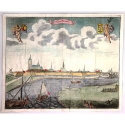
De Stad St. Maertens Dyke.
Decorative panoramic view of the town of St. Maartendijk, from "M. Smallegange Cronyk van Zeeland". The city view features a banner title cartouche with two her...
Place & Date: Middelburg, Amsterdam, 1696
Selling price: $39
Sold in 2017
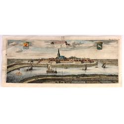
De Stad Tholen
A fine plan of the Dutch town of Tholen in the province of Zeeland. It features two putti holding coats of arms. There are several ships in the foreground. Engraved by Ma...
Place & Date: Amsterdam, 1696
Selling price: $21
Sold in 2018
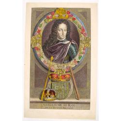
Portrait of "Guillaume III Roi".
Hand colored engraving of King William III of the Netherlands. Engraved by E. Desrochers in 1697. Prince Willen III (1650-1702) of the Netherlands became King William I ...
Place & Date: Amsterdam, 1697
Selling price: $89
Sold in 2016
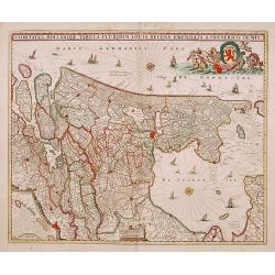
Comitatus Hollandiae tabula pluribus..
West to the top. Lower left inset of the Wadden Islands, Texel, Vlieland, Terschelling and part of Ameland.
Place & Date: Amsterdam 1698
Selling price: $480
Sold
Parte septtentrionale dell' Hollanda, vulgo Westuriesland en Tnoorder Quartier. . .
A beautifully engraved map of northern Netherlands or "West Friesland", including the towns of Amsterdam, Hoorn, Haerlem, t'Huys, Edam, etc. The region is fille...
Place & Date: Venice, 1698
Selling price: $240
Sold
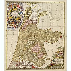
Kennemaria et Westfrisia vulgo et vernacule Noord Holland.
A most decorative map, in bright full original colors, of the northern part of Holland. At that time practically all polders -with the exception of the IJ-polder- had alr...
Place & Date: Amsterdam, 1698
Selling price: $350
Sold in 2012
Veduta di Rotterdam (4 sheet view of Rotterdam)
A beautiful and flamboyantly engraved detailed panoramic view of Rotterdam. The Laurens Church, still with his wooden lantern [removed ca. 1650] upon the bell tower. A de...
Place & Date: Venice, ca. 1698
Selling price: $425
Sold in 2014
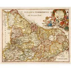
Hodiernae Belgicae sive Germaniae..
Decorative miniature map of the Low Countries. West to the top.
Place & Date: Amsterdam 1700
Selling price: $180
Sold
Frisiae Libera.
Unusual map of ancient Holland Germany and Belgium. The "Zuthera Zea" is still enclosed and a great portion of the country is covered with swamps and forests.Se...
Place & Date: Amsterdam 1700
Selling price: $170
Sold
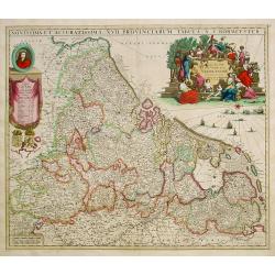
Novissima et accuratissima XVII Provinciarum tabula A. J.Bormeester.
Rare issue of Justus Danckert's attractive map of the Low Countries.Decorative title cartouche upper right hand corner.
Place & Date: Amsterdam 1700
Selling price: $1750
Sold
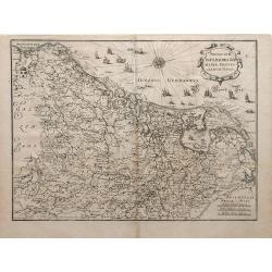
Novus XVII Inferioris Germania, Proviniarum Typus.
Finely detailed map of Belgium and Holland from Merian's Topographia Germania Inferioris. Ships, sea monsters, and a pretty compass rose are depicted in the North Sea.
Place & Date: Frankfurt, 1700
Selling price: $95
Sold in 2010
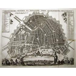
AMSTELODAMI VETERIS ET NOVISSIMAE URBIS ACCURATISSIMA DELINEATIO
SCARCE and unknown city plan of Amsterdam by or after (?) Visscher. Smaller edition of Visschers famous map of Amsterdam from ca. 1678. Embellished with numerous figures...
Place & Date: ca. 1700
Selling price: $600
Sold in 2011
Leyden.
Manuscript fortification town-plan of Leiden, as it was at about 1670. With a numbered key (1-46) pointing to the important buildings, streets and canals in town.
Place & Date: France, ca. 1670-1700
Selling price: $1645
Sold in 2013
Belgium foederatum emendatius auctum. . .
Rare issue of Justus Danckert's attractive map of present-day The Netherlands.Decorative title cartouche upper left hand corner.
Place & Date: Amsterdam, 1700
Selling price: $350
Sold in 2022
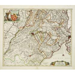
Ultraiectini dominii tabula.
Rare issue of Justus Danckert's attractive map of the province of Utrecht. Shows the land development in Utrecht, Holland, near the Zuyder Zee and it shows Utrecht, Amers...
Place & Date: Amsterdam, 1700
Selling price: $500
Sold in 2012
Ducatus Brabantiae tabula continens sacri imperii. . .
Rare issue of Cornelis Danckert's attractive map of Brabant.Decorative title cartouche lower left hand corner.
Place & Date: Amsterdam, 1700
Selling price: $160
Sold in 2023
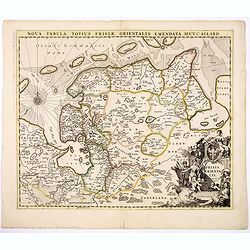
Nova Tabula Totius Frisiae Orientalis.
The map is a cooper engraved map of East Friesland by Carel Allard.
Place & Date: Amsterdam, ca. 1700
Selling price: $50
Sold in 2017
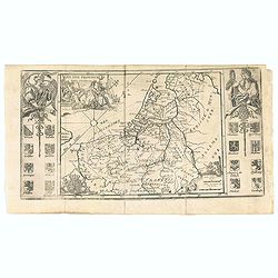
Les XVII Provincies des Pais Bas.
Map of the Netherlands, with coats of arms.
Place & Date: Amsterdam, 1700
Selling price: $50
Sold in 2020
T' LANTS MAGESYN.
A decorative print of the 'T Landts Magazyn of the V.O.C. now-a-days the Maritime Museum.
Place & Date: Amsterdam, 1700
Selling price: $300
Sold in 2023
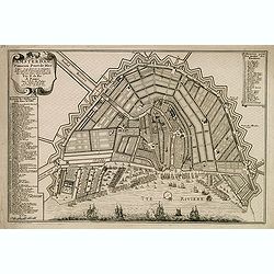
Amsterdam, fameux port de mer. . .
Fine town-plan of Amsterdam. Key at left identifies 83 important sites within the city. Key at upper right identifies the 26 "bastions" around the city walls, e...
Place & Date: Paris, 1701
Selling price: $100
Sold in 2012
Les Provinces Unies ou la Partie Septentrionale des Pays Bas . . . par le P. Coronelli . . . 1690 [together with] La partie Meridionale des Pays Bas connue sur le nom Flandre. . .
Two attractive map of the northern and southern parts of the Low Countries. The northern part was produced by the Venetian cosmographer Vincenzo Coronelli when he was wor...
Place & Date: Paris, 1701
Selling price: $160
Sold in 2015
Provinces Unies des Pays Bas
A uncommon map of the XVII Provinces.
Place & Date: Amsterdam 1701
Selling price: $140
Sold in 2018
Kaart van de Ring van Putten, bestaande uit vier delen Caerte gemaeckt op ordre vande bovengenoemde heeren opperdijckgraeff en hoog heemraden des Ringhs van Putten
Wall map consisting of four separate maps, each measuring 50 x 63 cm. The Ring van Putten concerns the region south of Rotterdam, with cities such as Spijkenisse, Geervli...
Place & Date: 1701
Selling price: $220
Sold in 2022
Carte des Provinces Unies des Pays Bas.
Rare first edition "Chez l'Auteur Rue des Canettes préz de St. Sulpice". "The "Rue des Canettes" address appears on the original versions of map...
Place & Date: Paris, 1702
Selling price: $500
Sold in 2020
Carte des Provinces Unies des Pays Bas
Map of the United Provinces of the Netherlands and northern Belgium.
Place & Date: Paris, 1702
Selling price: $96
Sold in 2010
Middelburg, de Gelukkigste Koopstadt Van Geheel Zeelant.
A view of Middelburg, Netherlands, one of the three fortified towns erected to guard against the Viking raids. Petrus Schenck, (1660 – 1711) was a German engraver an...
Place & Date: Amsterdam, 1702
Selling price: $80
Sold in 2013
Carte des Provinces Unies des Pays Bas.
Rare state of the map of the Netherlands with the imprint "a la Courone de Diamans" and " a Amsterdam chez Louis Renard Libraire près la Bourse. Decorated...
Place & Date: Paris, 1702
Selling price: $50
Sold in 2023
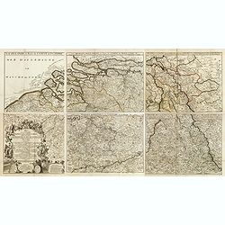
Carte pour la guerre dans les Pays-Bas Dedié et Presenté à monseigneur le Duc de Bourgogne. . . (Six sheet wall map)
Scarce six-sheet map of the southern provinces of the Low Countries and the most western provinces of Germany.Published by the heirs of Jean-Baptiste Nolin and also avail...
Place & Date: Paris, 1703
Selling price: $425
Sold in 2015
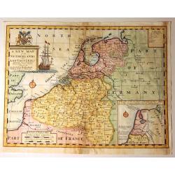
A New Map of the Netherlands or Low Countries.
Decorative map of the Netherlands, with a large sailing ship, and an inset of the Sea Coasts of Holland. Also included, is a fine coat of arms with a Unicorn and a Lion. ...
Place & Date: London, 1703
Selling price: $51
Sold in 2015
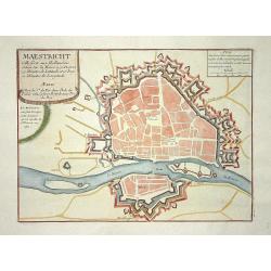
Maestricht.
Nice city plan of Maastricht in the Southern part of The Netherlands.
Place & Date: Paris 1705
Selling price: $85
Sold
La Haie
Decorative plan of the Dutch city The Hague.
Place & Date: Paris, 1705
Selling price: $100
Sold in 2009
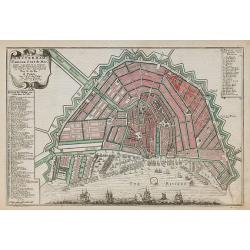
Amsterdam, Fameux port de mer.
Plan of Amsterdam, engraved by Van Loon, from De Fer's Atlas Curieux.
Place & Date: Paris, 1705
Selling price: $300
Sold in 2010
Carte de Brabant.
Guillaume del'Isle map of Brabant region of Belgium and the Netherlands.
Place & Date: Paris, 1705
Selling price: $72
Sold in 2010
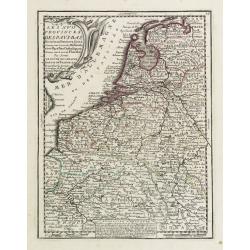
Les XVII Provinces Païs Bas Divisées.
An interesting small map of the Netherlands by Nicolas de Fer. From his rare "Petit et Nouveau Atlas". The first edition was published in 1697 and was republish...
Place & Date: Paris, 1705
Selling price: $70
Sold in 2020
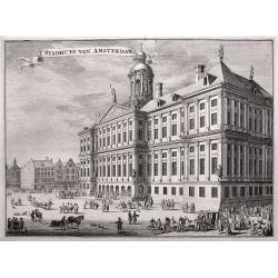
'T Stadhuys van Amsterdam.
Fine view of the City Hall in Amsterdam. A very busy scene with numerous people, horses, dogs, etc. Published in 'Algemene Wereldtbeschrijving', by Francois Halma, printe...
Place & Date: Leeuwarden, 1705
Selling price: $36
Sold in 2016
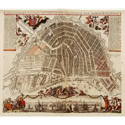
Amstelodami Veteris et Novissimi Delineatio..
A rare contemporary colored town-plan of Amsterdam with a panoramic inset view of the harbour and city. Jacob de la Feuille (1668-1719) was mapmaker, engraver and publish...
Place & Date: Amsterdam 1706
Selling price: $2125
Sold
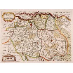
La Mayerie de BOLDVC, autrement dict Bois le Duc.
From his atlas Oorlogs tablessen, Oft uytgesochte Kaarten. Covering the so-called area Meierij van 's-Hertogenbosch. Eindhoven in the centre of the map.
Place & Date: Amsterdam 1706
Selling price: $200
Sold
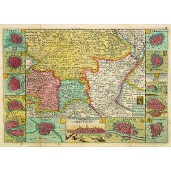
Kaart van 't Hertogdom Brabant.
From his atlas Oorlogs tablessen, Oft uytgesochte Kaarten. Covering the Dutch and Belgium province of Brabant and Limburg.Surrounded by 13 plans of the towns of 's-Hertog...
Place & Date: Amsterdam 1706
Selling price: $550
Sold
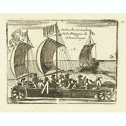
Carro, che uà à vela Su le Piagge di Schevelingue.
Italian version of Prince Maurits' sailing carriage designed by Simon Stevin. The big sailing-carriage could seat 28 persons and could reach a speed of seven miles per ho...
Place & Date: Venice, 1707
Selling price: $100
Sold in 2012
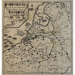
Les Dix-Sept Provinces des Pays-Bas, suivant qu\'elles sont possedees par les Roys de France et d\'Espagne et les Estates Generaux des Provinces-Unies
Map of the 17 provinces of the Low Countries, the territories grouped by the dukes of Burgundy and Emperor Charles V in the early 16th century, includes present day Belgi...
Place & Date: Paris, 1709
Selling price: $73
Sold in 2010
Amsterdam
A panoramic view of Amsterdam seen from 't IJ. A very decorative print with extensive shipping.From "Les Délices de la Hollande.. Ouvrage Nouveau sur le p...
Place & Date: The Hague 1710
Selling price: $150
Sold
Tabula Nova Provinciae UltraJectinae. . .
This striking map was prepared by Nicolas Visscher, now published by Petrus Schenk. It shows the land development in Gelderland, Holland, near the Zuyder Zee and it shows...
Place & Date: Amsterdam, 1710
Selling price: $155
Sold in 2020
't Hooge Heemraedschap van Delflant.
Beautifully engraved map, a reduced from of the wall map, of 't Hooge Heemraedschap van Delfland prepared by Nicolaas and Jacob Kruikius. Decorated with the Delfland coat...
Place & Date: Delft, 1712
Selling price: $1557
Sold
Carte Particuliere des environs de Roermonde, Venlo, le Mararais de Peel, &c.
Detailed map of the area of Roermond, Venlo, Eindhoven. Prepared by E.H.Frix.
Place & Date: Amsterdam 1715
Selling price: $80
Sold
Nieuwe Kaerte van t'Baljuwschap van Kennemerland met de Bannen van Westsaanen, Assendelft, Heemskerk . . .
Rare map prepared by Elisabeth Visscher who was the widow of Nicolas Visscher and republished by Petrus Schenk. East to the top. Including Haarlem, Heemskerk, Velsen, etc...
Place & Date: Amsterdam, 1715
Selling price: $600
Sold in 2017
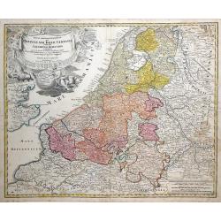
Tabula Generalis Totius Belgii qua Provincia XVII Infer Germania olim fub S.R.I. Circulo Burgundia . . .
Decorative map by Johann Baptist Homann which shows the entire region of The Netherlands and Belgium with its seventeen provinces. A decorative title cartouche is in the ...
Place & Date: Nuremberg, 1716
Selling price: $90
Sold in 2010
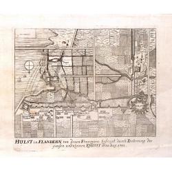
Hulst in Flandern von Denen Franzosen, 1702.
Fine copper engraving of the Hulst Fortress by Merian from "THEATRUM EUROPAEUM" in 1717.
Place & Date: Frankfurt am Main, 1717
Selling price: $17
Sold in 2015
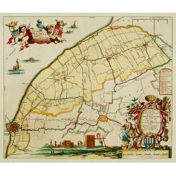
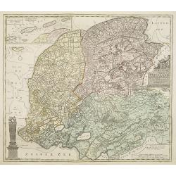
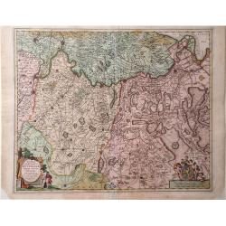
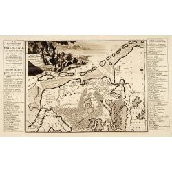
Frisiae dominium vernaculé Friesland..
Very detailed and decorative map of Friesland. Upper left hand corner inset map of the Frisian islands. Lower left statue of the Steenen Man of Harlingen. Key map from th...
Place & Date: Amsterdam 1718
Selling price: $300
Sold
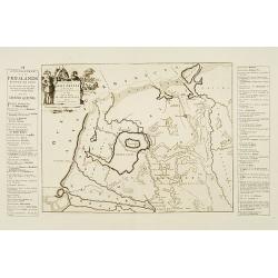
Descriptio Agri Frisii..
Historical map of the northern part of the Netherlands, north of the river Rhine and east of the river Elbe. Prepared by the Menso Alting (1637-1713). He was burgomaster ...
Place & Date: Amsterdam 1718
Selling price: $120
Sold
Descriptio Frisiae. . .
Historical map of the present-day Low Countries prepared by the Menso Alting (1637-1713). He was burgomaster of Groningen and geographer, who prepared in 1701 his histori...
Place & Date: Leeuwarden, F.Halma, 1718
Selling price: $80
Sold in 2018
Descriptio veteris Agri Batavi et Frisii. . .
Historical map of the present-day Low Countries prepared by the Menso Alting (1637-1713). He was burgomaster of Groningen and geographer, who prepared in 1701 his histori...
Place & Date: Leeuwarden, F.Halma, 1718
Selling price: $80
Sold in 2018
Frisiae dominium vernaculé Friesland. . .
Very detailed and decorative map of Friesland. Upper left hand corner inset map of the Frisian islands. Lower left statue of the Steenen Man of Harlingen. Key map from th...
Place & Date: Amsterdam, 1718
Selling price: $250
Sold in 2013
Stellingwerf westeinde, de tiende en laafte Grientenije van de Zevenwolden. . .
Very decorative map, with decorative title cartouche lower right, and with three finely engraved cherubs in the upper left corner holding a coat of arms. From the Uitbeel...
Place & Date: Amsterdam, 1718
Selling price: $240
Sold in 2010
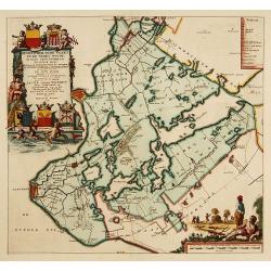
Gaasterland. De zevende Grietenije van de Zevenwolden. . .
Very detailed map of "Gaasterland. De zevende Grietenije van de Zevenwolden" in Friesland prepared by Bernardus Schotanus Steringa. With Sloter Meer and the tow...
Place & Date: Leeuwarden, 1718
Selling price: $250
Sold in 2014
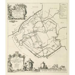
Tjietjerkstera deel. De achtste Grietenije van Ooster-Goo. . .
Very detailed map of "Tjietjerkstera deel. De achtste Grietenije van Ooster-Goo" in Friesland prepared by Bernardus Schotanus Steringa. Centered on Bergum and B...
Place & Date: Leeuwarden, 1718
Selling price: $375
Sold in 2014
De Grietenije van Smallingerland de negende grietenij van Oostergo
Very detailed map of "De Grietenije van Smallingerland de negende grietenij van Oostergo" in Friesland prepared by Bernardus Schotanus van Steringa. With decora...
Place & Date: Leeuwarden, 1718
Selling price: $150
Sold in 2018
Rauwerderhem de elfde grietenije van Oostergoo . . .
A very detailed map of "Rauwerderhem de elfde grietenije van Oostergoo" in Friesland prepared by Bernardus Schotanus Steringa. Centered on Deersum with in lower...
Place & Date: Leeuwarden, 1718
Selling price: $150
Sold in 2010
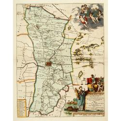
Leeuwerdera deel.. der stad Leeuwerden. . .
Very decorative map centered on Leeuwarden from the Uitbeelding der Heerlijkheit Friesland prepared by Schotanus. With decorative title cartouche lower right mentioning t...
Place & Date: Amsterdam, 1718
Selling price: $500
Sold in 2012
Hemelumer oude vaart en de Noort Woude. . .
Very decorative map including the towns of Staveren, Hindelopen, Workum and several of the Frisian Lakes from the Uitbeelding der Heerlijkheit Friesland prepared by Schot...
Place & Date: Leeuwarden, F.Halma, 1718
Selling price: $600
Sold in 2014
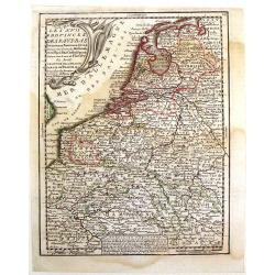
Les XVII Provinces Des Pays Bas..
Decorative map of the Low Countries, extending southwards as far as the North-East of France.From Le Nouveau et Curieux Atlas Geographique et Historique.. by Jacques Chiq...
Place & Date: Paris 1719
Selling price: $50
Sold
A new map of the Flanders and Holland. . .
Uncommon and large attractive map of The Low Countries. According to the title cartouche the map was printed by Charles Inselin in Paris. The cartouche with the address o...
Place & Date: London or Paris,? c.1707-1719
Selling price: $325
Sold in 2015
Les XVII Provinces des Pays Bas.
A pleasant little map of the Netherlands. It features the twelve provinces and has an insert explaining the "Rebellion d'Hollande." JACQUES CHIQUET (1673-1721) ...
Place & Date: Paris, 1719
Selling price: $30
Sold in 2016
.jpg)


![Contado d'Ollanda parte settentrionale / Contado d'ollanda parte meridionale. . . [two sheet map]](/uploads/cache/34725-250x250.jpg)



![Les Provinces Unies ou la Partie Septentrionale des Pays Bas . . . par le P. Coronelli . . . 1690 [together with] La partie Meridionale des Pays Bas connue sur le nom Flandre. . .](/uploads/cache/35670-250x250.jpg)
