Browse Listings in Europe > Netherlands
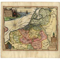
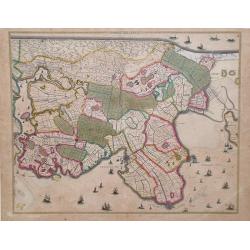
Noordt Hollandt
Map of Noord Holland region, in northern region of The Netherlands, showing cities of Enkhuizen and Medemblick. A variety of ships and sea vessels are depicted in the Mar...
Place & Date: Amsterdam, 1680
Selling price: $165
Sold in 2010
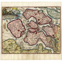
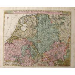
Tabula Geographica qua pars Septentrionalis Sive Inferior Rheni, Mosae, et Mosellae Maximaeque Partes Visorgis, Moeni, Amasi, Scaldis, Isalae, at Alia in Eofdem Influentia Flumina, Necnon, Provinciae Germaniae Inferioris, Westphaliae, Hassiae, Archiepisco
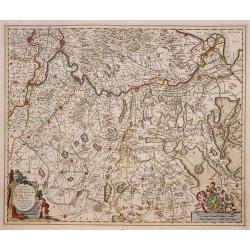
A map depicting the regions between Amsterdam Holland to Frankfurt Germany, which includes major cities such as Munster, Antwerp and Philippville. This wonderfully detail...
Place & Date: Amsterdam, 1680
Selling price: $85
Sold in 2010
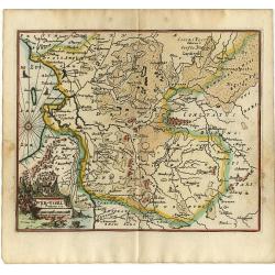
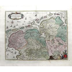
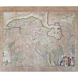
Tabula Frisia, Groninga, et Territorii Emdensis nec non circumjacentium Regionum, puta Transisalaniae, Benthemiae, Westphalae et Oldenburgi
Map of the Friesland and Groningen provinces of northern Holland, including the capital cities of Leeuwarden and Groningen. A beautifully rendered and colored title carto...
Place & Date: Amsterdam, c. 1680
Selling price: $310
Sold in 2010
Tabula Dominii Groeningae quae et Complectitur Maximam Partem Drentiae Emendata A.F. De Wit.
Splendid map of the Groningen region of The Netherlands by Frederick de Wit. Small inset maps showing the islands of the region in the top right corner. Shows the cities ...
Place & Date: Amsterdam, 1680
Selling price: $100
Sold in 2010
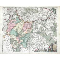
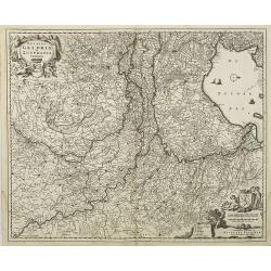
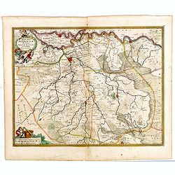
Comitatus Zutphaniae sive Geldriae Tetrachiae Zutphaniensis Isalae Fluvii Correctissima Descriptio denovo revisa, accurate divisa, et edta per F. de Witt
Beautiful map showing the regions of Gelderland, Flevoland and OverIjssel of The Netherlands by Frederick de Wit. The cities of Arnhem, Doesburg, Zutphen, Deventer and Ka...
Place & Date: Amsterdam, c. 1680
Selling price: $170
Sold in 2010
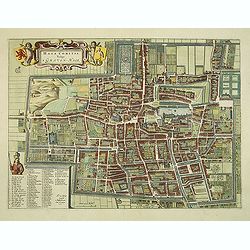
Haga Comitis Vulgo 'S Graven-Hage.
A very RARE bird's-eye town-plan of The Hague. The work was copied after Joan Blaeu.The plan is finely engraved and provides superb detail of the city's important buildin...
Place & Date: Amsterdam, 1680
Selling price: $550
Sold in 2012
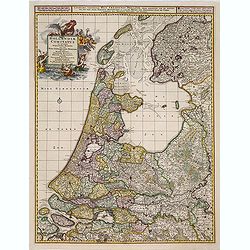
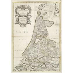
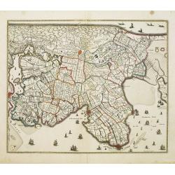
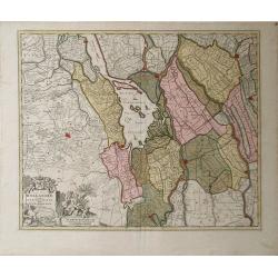
Noordt Hollandt.
A detailed map of the northern part of Holland. At that time practically all polders -with the exception of the IJ-polder- had already been reclaimed.
Place & Date: Amsterdam, 1680
Selling price: $250
Sold in 2014
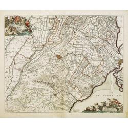
Ultraiectini dominii tabula. . .
Important map of Utrecht. Orientated south/west to the top. With two very decorative cartouches.
Place & Date: Amsterdam, 1680
Selling price: $250
Sold in 2014
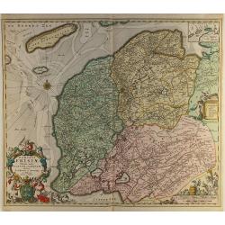
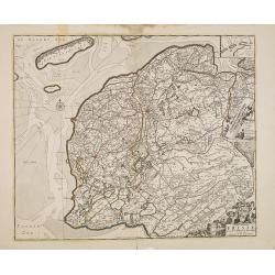
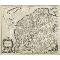
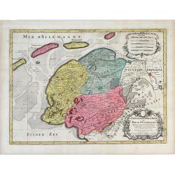
Dominii Frisiae..
This large copper engraved map details the coastline of Friesland and Terschelling. At east is a part of Groningen. The main cities are colored in red. The very decorativ...
Place & Date: Amsterdam ca.1680
Selling price: $130
Sold in 2012
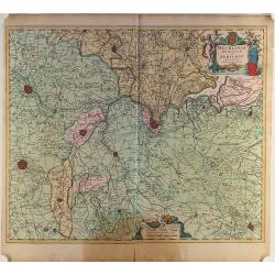
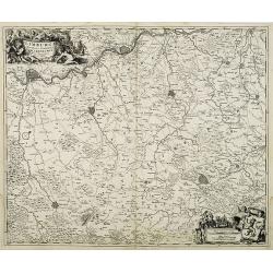
Mechelinia Dominium et Aerschot..
Detailed map of the southern part of The Netherlands and the northern part of Belgium with Antwerp and Brussels. Large (colored) cartouche with a coat of arms and putti.
Place & Date: Amsterdam ca.1680
Selling price: $27
Sold in 2014
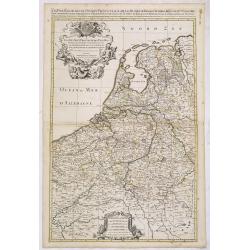
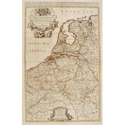
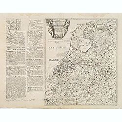
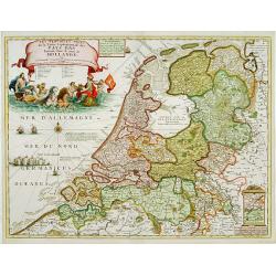
Cartes des provinces unies des Pays Bas connues sous les nom de Hollande. . .
Unrecorded map of the Low Countries, printed from two copper plates by François Jollain (ca. 1641 – 18 April 1704).To the left a detailed description of the Dutch prov...
Place & Date: Paris, ca. 1680
Selling price: $2000
Sold
Tabula Comitatus Frisiae.
The map was prepared by B.Schotanus à Steringa.
Place & Date: Amsterdam, 1680
Selling price: $85
Sold in 2013
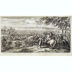
Le Rhin passé à la nage par les François, à la veuë de l'Armée de Hollande, 11 juin 1672.
Showing Louis XIV crossing the Rhine at Lobit at Tolhuis on 11 June 1672. Etching by C. Simmoneau after Adam Frans van der Meulen (1632-1690) who was a Flemish Baroque pa...
Place & Date: Paris, ca. 1680
Selling price: $500
Sold in 2021
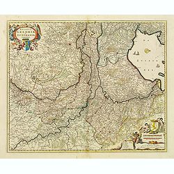
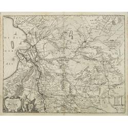
Ducatus Geldriae et Zutphaniae Comitatus.
Map of the Dutch provinces of Gelderland and Noord Brabant. Showing the Ijselmeer (Zuyder Zee), Zwolle, Wesel, Eindhoven and Utrecht. North orientated to the right. Decor...
Place & Date: Amsterdam, ca. 1680
Selling price: $150
Sold in 2015
Tabula Ducatus Brabantiae continens Marchionatum Sacri Imperii et Dominium Mechliniense emendate à F. de Wit 1666
Shows present-day Belgium and Dutch province of Brabant. Including the Maas and Waal rivers. Shows Antwerp, Brussels, Namur, Liege and Venlo among other towns and cities....
Place & Date: Amsterdam, 1680
Selling price: $25
Sold in 2016
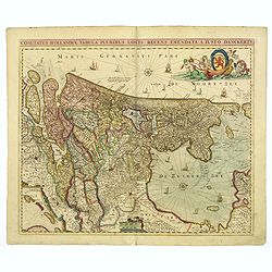
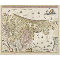
Comitatus Hollandiae. . .
Scarce Danckerts edition of this decorative map of the Netherlands. It includes decorative cartouche, compass rose, coat of arms, sailing ships, etc. Orientated west to t...
Place & Date: Amsterdam, 1680
Selling price: $140
Sold in 2017
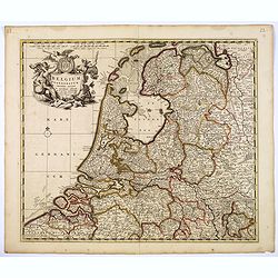
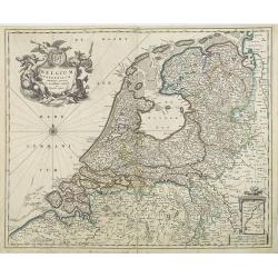
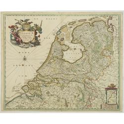
Belgium Foederatum emenate auctum et novissime editum.
A beautiful detailed map of the area of the modern Netherlands less the southern part of Limburg. The map is enhanced by a title cartouche representing the commerce, the ...
Place & Date: Amsterdam, 1680
Selling price: $120
Sold in 2018
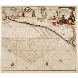
Nieuwe Paskaert van de kust van Hollandt tussen Texel en..
Sea-chart of the coast of Holland with large decorative cartouche, depicting scenes related to cheese producing.
Place & Date: Amsterdam 1681
Selling price: $720
Sold
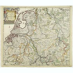
Accuratissima Rheni Inferioris Mosae et Mosellae tabula. . .
Danckerts' scarce map of the rivers Rhine, Maas and Waal. Including, Belgium, Luxemburg and large part of Germany.
Place & Date: Amsterdam, 1682
Selling price: $300
Sold in 2011
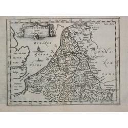
Belgii Veteris Typus Abrahami Ortelii
Philippe Cluverius (1580-1622), geographer of Danzig, settled in Leiden (Holland) specialized in Near Easrt and Ancient Geography. His main works ' Geographicus Academicu...
Place & Date: Amsterdam, 1683
Selling price: $75
Sold
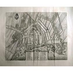
AMSTERDAM Gelyek die geweest is tot dem jare 1658.
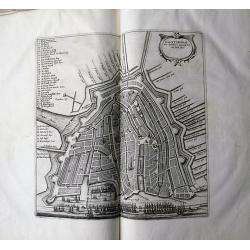
Rare town plan of Amsterdam.Embellished with the coat of arms and a cartouche holding the legend. A very detailed plan showing buildings, canals, streets, windmills, fiel...
Place & Date: Amsterdam, 1663-1683
Selling price: $240
Sold in 2011
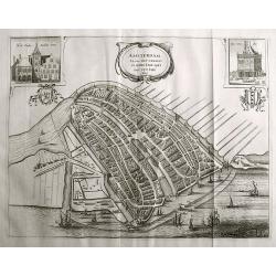
AMSTERDAM alsoo het geweest is inden jare 1482 tot den jare 1601.
Rare town plan of Amsterdam, showing the city with detailed buildings and houses, canals, bridges, etc. Decorated with the coat of arms, two inset views of the "Stad...
Place & Date: Amsterdam, 1663-1683
Selling price: $325
Sold in 2011
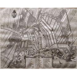
Amsterdam Gelijck die geweest is tot den irae 1658.
Rare town plan of Amsterdam. Embellished with the coat of arms and a cartouche holding the index key. Very detailed plan showing buildings, canals, streets, windmills, fi...
Place & Date: Amsterdam, 1663-1683
Selling price: $210
Sold in 2015
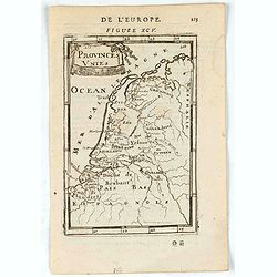
Provinces Unies.
A charming map of The Netherlands. Title in curtain draped at top. French text on verso.From the original 1683 text edition of "Description d'Univers. . ." by A...
Place & Date: Paris, 1683
Selling price: $1
Sold in 2023
Amsterdam.
A charming view of Amstderdam. Title in curtain draped at top. French text on verso.From the original 1683 text edition of "Description d'Univers. . ." by Allai...
Place & Date: Paris, 1683
Selling price: $30
Sold in 2022
Novissima Comitatus Zutphaniae, Totiusque Fluminis Insulae Descriptio, ex Officina Nicolai Visscher.
Map of the province of Gelderland in the Netherlands. Taken from the atlas Germania Inferior, sive XVII Provinciarum Geographicae generales ut et particulares tabulae. Ka...
Place & Date: Amsterdam, 1684
Selling price: $60
Sold in 2013
Novissima Comitatus Zutphaniae, Totiusque Fluminis Insulae Descriptio, ex Officina Nicolai Visscher.
Map of the province of Gelderland in the Netherlands. Taken from the atlas Germania Inferior, sive XVII Provinciarum Geographicae generales ut et particulares tabulae. Ka...
Place & Date: Amsterdam, 1684
Selling price: $110
Sold in 2009
Ducatus Geldria et Zutphania Comitatus.
Map of Gelderland. West to the top. Taken from the atlas Germania Inferior, sive XVII Provinciarum Geographicae generales ut et particulares tabulae. Kaert-Boeck van de X...
Place & Date: Amsterdam, 1684
Selling price: $130
Sold in 2009
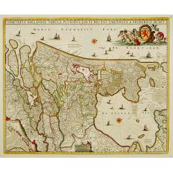
Comitatus Hollandiae Tabula Pluribus Locis Recens Emendata.
Third state of 5) of this popular map of Holland, copied by F. de Wit, J. Danckerts and C. Allard and P. Schenk up to late in the 18th century. Bottom left corner an inse...
Place & Date: Amsterdam, 1684
Selling price: $750
Sold in 2010
Transisalania Provincia vulgo Over-Yssel. Auctor. N. ten-Have.
Map of central part of the Netherlands with relief shown pictorially. With a decorative cartouche, showing a fisherman, typical for Claes Jansz. Visscher's maps. Prepared...
Place & Date: Amsterdam, 1684
Selling price: $160
Sold in 2009
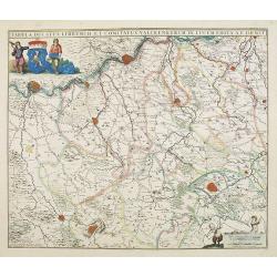
Limburgi Ducatus et Comitatus Valckenburgi Nova Descriptio Per N. Visscher.
The map describes the southern part of Limburg and reaches into Belgium (Liege, Verviers) and Germany (Aachen). The map has two decorative cartouches, etched by Mr. Romey...
Place & Date: Amsterdam, 1684
Selling price: $150
Sold in 2018
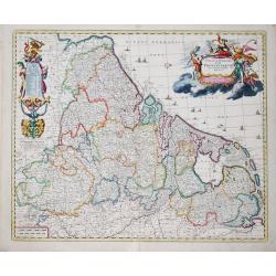
Belgium Foederatum emmendatè auctum et novissimè editum per Nicolaum Visscher.
A well detailed map of the present day Netherlands. The most southern part of Limburg in an inset, lower right corner. Taken from the atlas Germania Inferior, sive XVII P...
Place & Date: Amsterdam, 1684
Selling price: $300
Sold in 2013
Dominii Frisae Tabula, inter Flevumrt Lavicam, Auctore B. Schotano à Sterringa. Ex Officina Nicolai Visscher.
Map of the provinces Friesland. This map was prepared by B.Schotanus à Steringa. Taken from the atlas Germania Inferior, sive XVII Provinciarum Geographicae generales ut...
Place & Date: Amsterdam, 1684
Selling price: $150
Sold in 2010
Belgium Foederatum emmendatè auctum et novissimè editum per Nicolaum Visscher.
A well detailed map of the present day Netherlands. The most southern part of Limburg in an inset, lower right corner. Taken from the atlas Germania Inferior, sive XVII P...
Place & Date: Amsterdam, 1684
Selling price: $500
Sold in 2017
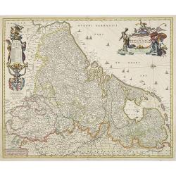
Novissima et accuratissima XVII Provinciarum Germaniae Inferior Delineatio, Ex Officina Nicolai Visscher.
Map of Belgium, the Netherlands and Luxembourg with a decorative title cartouche and cartouche of explanations and a dedication to Johan Munter. North orientated to the r...
Place & Date: Amsterdam, 1684
Selling price: $425
Sold in 2009
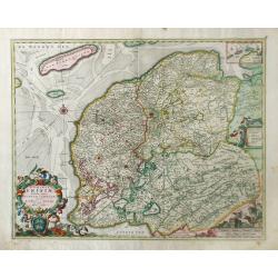
Dominii Frisia Tabula, inter Flevum et Lavicam.
Map of Friesland, a northern province of the Netherlands. The major cities of Friesland, such as Franeker, Leeuwarden and Sneek. The coat of arms of Friesland is depicted...
Place & Date: Amsterdam, 1677-1684
Selling price: $150
Sold in 2010
Hand-vesten, Privilegien, Octroyen, Costumen en Willekeuren der Stad Amstelredam.
Very rare work on Amsterdam. With one page-sized map of the area around Amsterdam, and three (two double-page) scarce town plans. Folio, 1208 pages, two titles, plus regi...
Place & Date: Amsterdam, 1662-1684
Selling price: $490
Sold in 2020
Novissima Comitatus Zutphaniae, Totiusque Fluminis Insulae Descriptio.
Map of the province of Gelderland in the Netherlands.Taken from the atlas Germania Inferior, sive XVII Provinciarum Geographicae generales ut et particulares tabulae. Kae...
Place & Date: Amsterdam, 1684
Selling price: $150
Sold in 2014
Amsterdam.
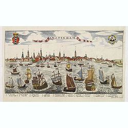
A rare panoramic view of the city of Amsterdam from 't IJ, with keys numbered from 1-21 to the principal buildings. A very decorative print with extensive shipping. Etchi...
Place & Date: Augsburg, ca. 1685
Selling price: $200
Sold in 2012
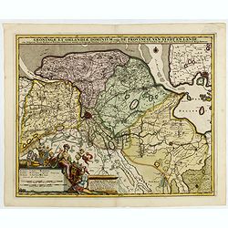
Groningae et Omlandiae Dominium vulgo De Provincie van Stadt en Lande, cum subjacent. Territ. Praefect. Et Tractibus. [Lud Tjarda â Starckenburg Nicol:Visscher. (P)
Detailed map of the northern Dutch region of Groningen with figurative cartouche and coats of arms. The town of Groningen in the center, Emden just on the right. Engraved...
Place & Date: Amsterdam, 1685
Selling price: $240
Sold in 2015
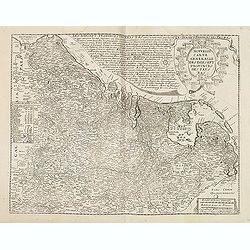
Nouvelle Carte Generale des Dix sept Provinces des Pays Bas. 1686
Unrecorded map of the Low Countries with a decorative tittle cartouche upper right corner. This is a reworked plate as remains of previous texts are still visible in the ...
Place & Date: Paris, 1686
Selling price: $2550
Sold in 2013
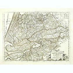
Contado d'Ollanda Parte Meridionale Dedicato All' Illustrissimo. . .
A beautifully engraved map of the central part of Holland locating the cities of Leiden, The Hague, Delft, Rotterdam, Breda, Utrecht, Amersfoort, s'Hertogenbosch, etc. Th...
Place & Date: Venice, 1688
Selling price: $250
Sold in 2018
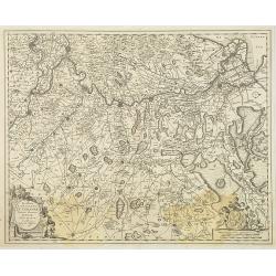
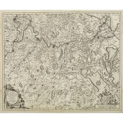
Quartae Partis Brabantiae seu Ditionis Silvae Ducis...
Very detailed map of the fourth quarter of Brabant, including the towns of Tilburg, Den Bosch, Helmond and Eindhoven. Based on Willibrordus van der Burght map of 1635.Rar...
Place & Date: Amsterdam, 1688
Selling price: $250
Sold in 2015
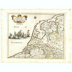
Provincie Unite De Paesi Bassi . . . 1672.
Rossi's map of the Low Countries, based upon Sanson's map, but with revised Italian nomenclature. The engraver was Giorgio Widman.Giacomo Rossi's fine late 17th century m...
Place & Date: Rome, 1677-1688
Selling price: $90
Sold in 2016
Novissima Amstelodami Tabula per I. Bormeester
Kip's rare and decorative city map of Amsterdam, with excellent detail on the houses, streets, canals and the harbour. Orientation: south-southwest top. With a panoramic ...
Place & Date: Amsterdam, 1688
Selling price: $690
Sold in 2023
[4 sheet map] Le Diecisette Provincie de Paesi Bassi. . .
Scarce map of the Low Countries. Elaborate heraldic title cartouche. The engraver was A Barbey.
Place & Date: Rome, 1689
Selling price: $450
Sold in 2016
Haga Comitis Vulgo 'sGraven-Hage.
Bird-eye view of the town. Copied after Blaeu. From the rare work by G.Letie. Teatro Belgico.. , printed by Willem de Jonge.RARE.
Place & Date: Amsterdam 1690
Selling price: $925
Sold
Comitatus Hollandiae tabula pluribus..
West to the top. Lower left inset of the Wadden Islands, Texel, Vlieland, Terschelling and part of Ameland.
Place & Date: Amsterdam 1690
Selling price: $600
Sold
Les Provinces Unies ou la Partie Septentrionale..
RARE map of The Netherlands. A visually stunning map with a large title cartouche. This large one-sheet map was produced by the Venetian cosmographer Vincenzo Coronelli w...
Place & Date: Paris 1690
Selling price: $700
Sold
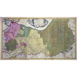
Tabula nova Provinciae Ultrajectinae quam jussu Nob: hujus Dominij Ordinum Emensus esat Bernardus du Roy?.
Large and highly detailed map showing the area between Amsterdam, Gouda, Arnheim and Zutphen including Utrecht and Amersfoort. Many towns, streets (some with names!), riv...
Place & Date: Amsterdam, c1690
Selling price: $160
Sold
Tabula ducatus Limburch et comitatus Valckenburch. . .
The map describes the southern part of Limburg and reaches into Belgium (Liége, Verviers) and Germany. With two very decorative cartouches.
Place & Date: Amsterdam, 1690
Selling price: $200
Sold in 2021
Nova atque emendata descriptio Suydt Hollandiae edita a Frederico de Wit.
Detailed map covering the area around the Biesbos, including Breda, Willemstad, Dordrecht, Culembourg, Gorichem and Gouda.The map is oriented with west at the top. Superb...
Place & Date: Amsterdam, 1690
Selling price: $350
Sold in 2011
Delflandia, Schielandia et circumjacentes Insulae ut Voorna, Overflackea, Goerea, Yselmonda et aliae.
Detailed map of Southern Holland, which includes the cities of The Hague (Gravenhag), Rotterdam, Willemstad, Gouda and Delft (Delet). Ships and naval battles are shown th...
Place & Date: Amsterdam, 1690
Selling price: $185
Sold in 2010
Hollandiae Pars Meridionalior Vulgo Zuyd-Holland.
A regional map of Holland by Nicholas Visscher depicting major cities such as Breda, Gouda and Gorcum and major river systems and bodies of water. A very detailed cartouc...
Place & Date: Amsterdam, circa 1690
Selling price: $110
Sold in 2010
La Seigneurie d'Ovest-Frise ou Frise Occidentale, divisee en ses Trois Parties subdivisees en leurs Juridictions. . .
Map of Friesland, a province in the northern Netherlands by Sanson and published by Covens and Mortier. The three colored regions or shires are Seven Wolden (Seven Forest...
Place & Date: Amsterdam, c. 1690
Selling price: $132
Sold in 2010
Corso del Reno parte settentrio [tohether with] . . . parte meridionale. . . [2 sheets]
A two sheet map of the course of the river Rhine. Each of the map has a decorative cartouche for title and dedication to Paulo Querini. Engraved in Coronelli's unique sty...
Place & Date: Venice, 1690
Selling price: $250
Sold in 2012
Hollandiae comitatus in esjudem subjacentes dittones..
Prepared after Dou and Broeckhuysen. The map bears a long Dutch and Latin title and is orientated to the north. It was engraved by G.Gouwen.
Place & Date: Amsterdam, 1690
Selling price: $279
Sold in 2015
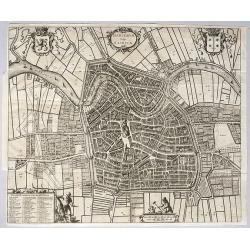
Harlemum, vulgo Haerlem, by Gregorio Leti, 1690.
A detailed and very decorative bird's-eye view of the Dutch city of Haarlem, with the city's and the province's coats of arms, together with two decorative cartouches at ...
Place & Date: Amsterdam, 1690
Selling price: $660
Sold in 2020
Germaniae Inferioris XVII PROVINCIARUM Accuratissima Tabula.
The third state of Nicolaas Visscher I's attractive map of the XVII Provinces of the Netherlands, published by his son Nicolaas II. Embellished with a large and decorativ...
Place & Date: Amsterdam, ca 1690
Selling price: $200
Sold in 2023
Les Provinces des Pays-Bas Catholiques . . . Le Roy de France, le Roy d'Espagne, et les Etats Généraux des Provinces-Unies . . .
Fine map of the Catholic Netherland Provinces with a decorative armorial cartouche and small scale of miles.Alexis-Hubert Jaillot (1632-1712), was a French cartographer. ...
Place & Date: Amsterdam, 1692
Selling price: $300
Sold in 2013
Les Dix-Sept Provinces des Pays-Bas..
Map of the present-day Benelux by Hubert Jaillot.
Place & Date: Paris 1692
Selling price: $490
Sold
Les Pays Bas.
Small map of the Netherlands and Belgium, with a decorative scene in the corner.
Place & Date: Antwerp, 1692
Selling price: $70
Sold
Over-Yssel
Small map of the East part of The Netherlands.
Place & Date: Antwerp, 1692
Selling price: $60
Sold
Comitatus Zelandiae
Small map of the South-West part of The Netherlands.
Place & Date: Antwerp, 1692
Selling price: $150
Sold
Ducatus Brabantiae
Small map of the Southern part of The Netherlands.
Place & Date: Antwerp, 1692
Selling price: $80
Sold
Tran-siselana.
A most attractive and decorative map by Vincenzo Coronelli. An elaborate title cartouche garlanded with intertwined flowers and dedicated to Antonio Martinelli. The remar...
Place & Date: Venice 1692
Selling price: $200
Sold
Les Pays Bas.
Small map of the Netherlands and Belgium, with a decorative scene in the corner. Engraved by Jacob Harrewijn.
Place & Date: Antwerp, 1692
Selling price: $150
Sold in 2008
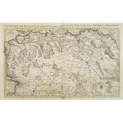
Le Duché de Brabant, qui comprend les Quartiers de LOUVAIN, BRUSSELLES, ANVERS, et BOSLEDUC . . .
Fine map of the present-day Dutch province of North Brabant. The map notes Nicolas Sanson as the mapmaker and claims that the map was published by Alexis-Hubert Jaillot (...
Place & Date: Amsterdam, 1692
Selling price: $350
Sold in 2009
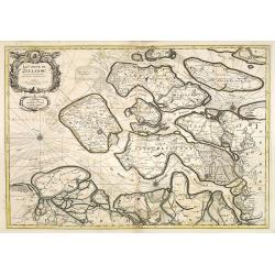
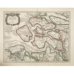
Le Comté de Zeelande . . .
Fine map of the province of Zeeland ornated with a rococo title cartouche with the coat of arms of Zeeland showing a lion half-emerged from water.Boundaries outlined in h...
Place & Date: Amsterdam, 1692
Selling price: $450
Sold in 2009
Comte de Hollande dresse sur les Memoires les plus Nouveaux . . .
Fine map of the province of Holland, ornated with a rococo title cartouche incorporating five scales. This cartouche has also a dedication to Le Dauphin with his coat of ...
Place & Date: Amsterdam, 1692
Selling price: $300
Sold in 2018
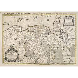
La Seigneurie de Groningue . . .
Fine map of the Groningen in the northern part of the Netherlands with a decorative armorial cartouche and small scale.Alexis-Hubert Jaillot (1632-1712), was a French car...
Place & Date: Amsterdam, 1692
Selling price: $450
Sold in 2013
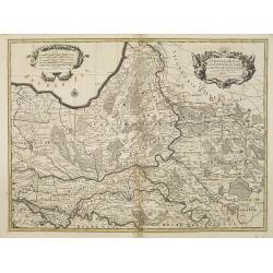
La Veluwe, La Betuwe et Le Comté de Zutphé dans le Duché de Gueldre . . .
Fine map of the Gelderland Duchy with a decorative title and scale cartouche.Alexis-Hubert Jaillot (1632-1712), was a French cartographer. He joined the Sanson heirs and ...
Place & Date: Amsterdam, 1692
Selling price: $250
Sold in 2009
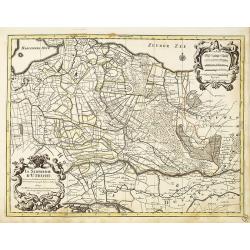
La seigneurie d'Utrecht
Fine map of Utrecht with a decorative title and scale cartouche.Alexis-Hubert Jaillot (1632-1712), was a French cartographer. He joined the Sanson heirs and redrew Nicola...
Place & Date: Amsterdam, 1692
Selling price: $300
Sold in 2016
Gueldre espagnole, ou quartier de Ruremonde. . .
Fine map covering the are between the rivers Maas and Rhine, in North Limburg and part of German Gelderen. Including the towns of Gennep, Maaseik, Roermond, Venlo, up to ...
Place & Date: Amsterdam, 1692
Selling price: $50
Sold in 2021
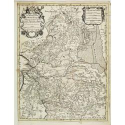
La Seigneurerie d'Over-Yssel . . .Sallant, Twente, at Drente . . .
Fine map of the central eastern part the Netherlands with a figurative armorial cartouche and small scale of miles.Alexis-Hubert Jaillot (1632-1712), was a French cartogr...
Place & Date: Amsterdam, 1692
Selling price: $400
Sold in 2010
Contado D'Ollanda Parte Meridionale Dedicato All'Illustrifsino Signore Auocato Benedettto Gori. . .
Detailed map of Southern Holland by Vincenzo Coronelli that shows the cities of Rotterdam, Delft and Breda. This map is the bottom half of what was published as a two par...
Place & Date: Venice, 1692
Selling price: $150
Sold in 2010
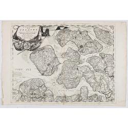
Contado di Zelanda. . .
A most attractive and decorative map of Zeeland by Vincenzo Coronelli. An elaborate title cartouche garlanded with intertwined flowers and dedicated to Vincenzo Caualli. ...
Place & Date: Venice, 1692
Selling price: $110
Sold in 2022
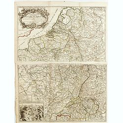
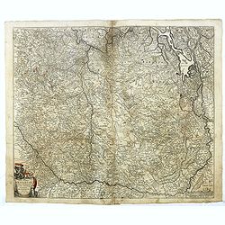
La Partie occidentale de l\'Allemagne Avec les Pays Adjacents le long du Rhein et des Rivieres qui s\'y rendent Tirée des Memoires de Cantel et plus.rs autres Corrigée et augm. Par M. le Prieur du Neufmarché. . .
Scarce two-sheet map of the countries along the River Rhine. In lower left corner inset "Les environs des sources du Rhine".Published by the heirs of Jean-Bapti...
Place & Date: Paris, 1692
Selling price: $210
Sold in 2015
Contado di Zelanda. . .
A most attractive and decorative map of Zeeland by Vincenzo Coronelli. An elaborate title cartouche garlanded with intertwined flowers and dedicated to Vincenzo Caualli. ...
Place & Date: Venice, 1692
Selling price: $170
Sold in 2021
Le Comté de Zeelande . . .
Fine map of the province of Zeeland ornated with a rococo title cartouche with the coat of arms of Zeeland showing a lion half-emerged from water.Boundaries outlined in h...
Place & Date: Paris, 1693
Selling price: $200
Sold in 2010
.jpg)


![[4 sheet map] Le Diecisette Provincie de Paesi Bassi. . .](/uploads/cache/36418-250x250.jpg)



![Corso del Reno parte settentrio [tohether with] . . . parte meridionale. . . [2 sheets]](/uploads/cache/31970-250x250.jpg)
