Browse Listings in Europe > Netherlands
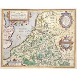
Belgii Veteris Typus..
A fine map of this historic region with many ancient place names. The map is decorated with 4 cartouches, and a compass rose in the sea. Map is dated 1594
Place & Date: Antwerp 1584
Selling price: $535
Sold
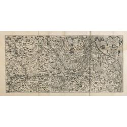
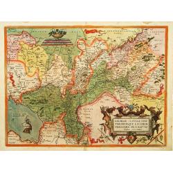
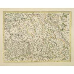
Gelriae, Cliviae, Finitimorumque locorum verissima..
East to the top. Fine map of Geldria and Limburg, prepared by Christian s'Grooten. Very fine title cartouche lower right with painters utensils around cartouche.
Place & Date: Antwerp, 1584
Selling price: $600
Sold in 2011
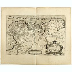
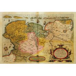
Oost ende West Vrieslandte beschryvinghe.
Prepared by Jacob van Deventer. A very decorative map of the Dutch provinces of Friesland, Groningen and Drente and of the German Province of Friesland.
Place & Date: Antwerp, 1584
Selling price: $750
Sold in 2008
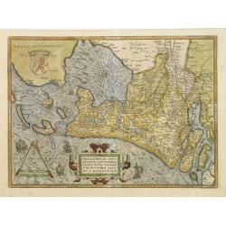
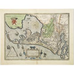
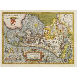
Hollandiae Antiquorum Catthorum Sedis Nova Descriptio . . .
Ortelius' atlas publication of Jacob van Deventer's survey of the province of Holland surveyed in 1537 and published first in Antwerp in nine sheets by Bernard van der Pu...
Place & Date: Antwerp, ca.1584
Selling price: $900
Sold in 2012
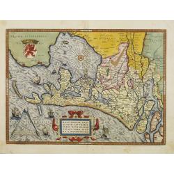
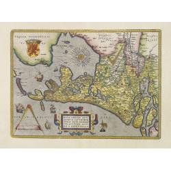
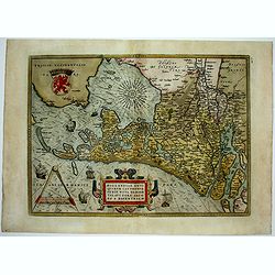
Hollandiae Antiquorum.
A mile stone map published by Ortelius on the basis of the map drawn by Jacob van Deventer in abt. 1550. Decorated with a large strapwork title cartouche, scale of miles ...
Place & Date: Antwerp, 1584
Selling price: $690
Sold in 2015
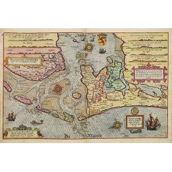
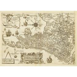
Beschrijvinge vande vermaerde stroemen, Tvlie ende Tmaersdiep: opstreckende Inde Zijder Zee voerby Enchuijsen tot Amsterdam. . .
A detailed chart of the coast of Holland decorated by several cartouches with several colorful cartouches, scale cartouches, compass roses, 5 vessels and 2 sea monster. F...
Place & Date: Leiden, Plantijn, 1585
Selling price: $3500
Sold in 2009
Brabantia, Gulick et Cleve.
The full coloring of the different areas with the borderlines in the same color, only slightly darker, is typical of the 16th century.
Place & Date: Duisburg, 1585
Selling price: $600
Sold in 2017
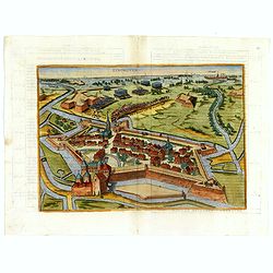
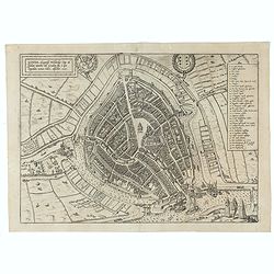
Gouda, elegantiss. Hollandiae Opp. ad Isalam amnem, ubi Goudam flu. à quo Oppidum nomen habet, absorbet. 1585.
A bird's-eye town-plan of Gouda. From the greatest publication in this genre!. The Civitates was compiled and written by George Braun, Canon of Cologne Cathedral. Braun g...
Place & Date: Cologne, 1585
Selling price: $100
Sold in 2021
[Guerre des Pays-Bas] Geschichtsblätter (172 plates).
Illustrated with 170 plates dealing with Belgium, Dutch and German war sites (1567-1586) showing scenes of battles, sieges, executions, assassinations, parades, court sce...
Place & Date: Cologne, c.1586
Selling price: $6750
Sold
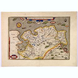
Frisiae Orientalis Descriptio.
Nice example of Ortelius' map of East Friesland, from the 1587 French edition of his Theatrum Orbis Terrarum, the first modern atlas of the world.This map includes a comp...
Place & Date: Antwerp, 1587
Selling price: $110
Sold in 2017
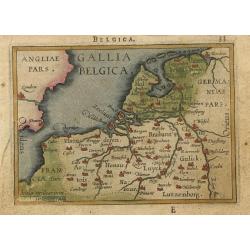
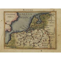
Gallia Belgica.
Miniature map covering Belgium and the Netherlands. The map is beautifully engraved with stippled seas.
Place & Date: Antwerp, 1588
Selling price: $65
Sold
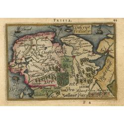
Descript. Frisiae
Charming little map of the northern part of The Netherlands, the Provinces of Friesland, Groningen and part of Drenthe. The map is beautifully engraved with stippled seas...
Place & Date: Antwerp, 1588
Selling price: $230
Sold
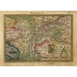
Geldria
Charming little map of a part of The Netherlands, the Province of Gelderland. The map is beautifully engraved with stippled sea and a sailing ship.
Place & Date: Antwerp, 1588
Selling price: $90
Sold
Gallia Belgica.
Miniature map covering Belgium and the Netherlands. The map is beautifully engraved with stippled seas. Hard to find now-a-days in original colors.
Place & Date: Antwerp, 1588
Selling price: $260
Sold in 2008
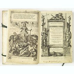
Descrittione di M. Lodovico Guicciardini, gentil- huomo fiorentino, di tutti Paesi Bassi . . .
Italian text edition of this famous description of the Low Countries. The book is illustrated with 53 double page town plans, 12 maps and 13 one page views.Ludovico Guicc...
Place & Date: Antwerp, 1588
Selling price: $5600
Sold in 2010
Rotterdam / Roterodamum Hollandiae Opp.
Large and detailed birds-eye view of Rotterdam, with figures in the foreground, and the harbour and city behind. With sailing ships, windmills, numerous buildings, and th...
Place & Date: Cologne, c1588
Selling price: $120
Sold in 2012
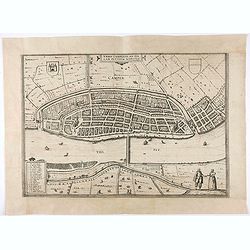
Urbis Campensis..
A bird's eye view of the town of Kampen. From the first town book.
Place & Date: Cologne, 1581-1588
Selling price: $70
Sold in 2020
Sneecha, vulgo Sneeck ... [on sheet with] Doccum [and] Sloten [and] Ylsta. (Sneek, Doccum, Sloten, IJlst)
Antique map with four bird's-eye view plans by Braun and Hogenberg: Sneek, Doccum, Sloten, IJlst.SNEEK with CARTOUCHE: Sneecha, commonly known as Sneek. A town in West Fr...
Place & Date: Cologne, 1588
Selling price: $180
Sold in 2020
Bolzvardia vetus in Frisia Foederis Anzae teurinicae Op. [on sheet with] Stavria, vulgo Stavere ... [and] Harlinga [and] Hindelop. (Bolsward, Stavoren, Harlingen, Hindelopen)
Four bird's-eye views - plans by Braun and Hogenberg: Bolsward, Stavoren, Harlingen and Hindelopen. The four views are made after Jacob van Deventer.BOLSWARD CARTOUCHE: B...
Place & Date: Cologne, 1588
Selling price: $250
Sold in 2020
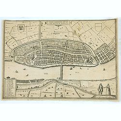
Urbis Campensis..
A bird's eye view of the town of Kampen.
Place & Date: Cologne, 1581-1588
Selling price: $50
Sold in 2020
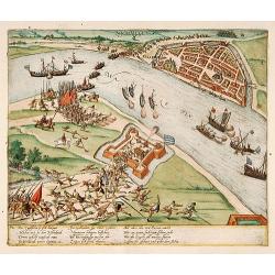
Die Englischen so sich.. (Nijmegen, Anno 1586)
Early print showing Nijmegen, river Waal and fort Knodsenburg.The plates by Hogenberg are dealing with the independence war of Holland against Spain.Recently a very inter...
Place & Date: Cologne 1590
Selling price: $280
Sold
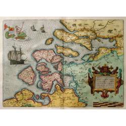
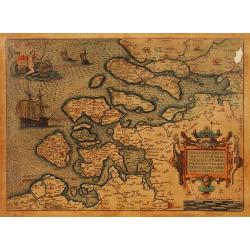
Zelandicarum Insularum Exactissima et Nova Descriptio.
From 'Theatrum Orbis Terrarum [Atlas of the Whole World]', The Theatrum was re-issued in 42 editions with 5 supplements with text in Latin, Dutch, German, French, Spanish...
Place & Date: Antwerp 1590
Selling price: $575
Sold
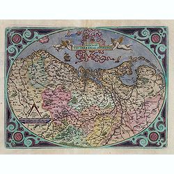
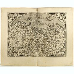
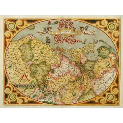
Descriptio Germaniae Inferioris.
The oval map is surrounded by a strapwork frame and the title, adorned with ribbons, is held aloft by two winged cherubs.
Place & Date: Antwerp 1590
Selling price: $600
Sold
Zelandicarum Insularum Exactissima et Nova Descriptio.
From 'Theatrum Orbis Terrarum [Atlas of the Whole World]', Latin ed, pl. 39, CN no. 18.The Theatrum was re-issued in 42 editions with 5 supplements with text in Latin, Du...
Place & Date: Antwerp 1590
Selling price: $310
Sold
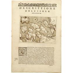
Isole Selandie.
In the stippled sea a compass-rose in the shape of a circular disc with indication of eight wind directions by means of the first letter of the Italian names: T, G, a Cro...
Place & Date: Venise 1590
Selling price: $160
Sold
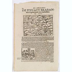
De Ducatu Brabantino .. [Brabant]
On recto an early map of Brabant (Map : 94x135 mm). From a Latin text edition of his "Geographia", that great compendium of Renaissance knowledge.
Place & Date: Bâle, 1550-1590
Selling price: $97
Sold
Caarte vanden .. Graefschappe van Hollandt..
Early map of Holland, engraved by Saenredam. Based on a map by Jacob van Deventer (1550). East is at the top. In the lower part, a typical 16th-century cartouche in Renai...
Place & Date: Antwerp 1590
Selling price: $380
Sold
EYNDHOVEN - Nach dem Eindhoven mitt kriegs macht. . . .
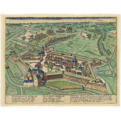
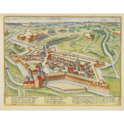
Earliest printed bird's-eye view of Eindhoven. Showing the siege of April 13-23 1583. On April 22nd the young Count Carel van Mansfeld was taking the town after a 9 days ...
Place & Date: Cologne, 1590
Selling price: $1100
Sold in 2015
Als nun Truxes Reutter und knecht.. (Delft)
Early of Delft with a Spanish army entering the town.The plates by Hogenberg are dealing with the independence war of Holland against Spain.Recently a very interesting r...
Place & Date: Cologne, 1590
Selling price: $150
Sold in 2017
EYNDHOVEN - Nach dem Eindhoven mitt kriegs macht. . . .
Earliest printed bird's-eye view of Eindhoven. Showing the siege of April 13-23 1583. On April 22nd the young Count Carel van Mansfeld was taking the town after a 9 days ...
Place & Date: Cologne, 1590
Selling price: $1900
Sold in 2009
Holandt. [Holland].
On verso an early map of Holland (215x140 mm). From a German text edition of his Geographia , that great compendium of Renaissance knowledge.
Place & Date: Basle, 1550-1590
Selling price: $60
Sold in 2010
Von der Bischofflichen Statt Utrecht..
An early representation of the city of Utrecht (125x155 cm). From a German text edition of his Geographia , that great compendium of Renaissance knowledge.
Place & Date: Basle, 1550-1590
Selling price: $10
Sold in 2021
Belegerung der statt Maestricht Anno Drij MDLXXIX Im April.
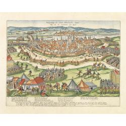
Early print showing the siege of Maastricht under command of the sick Count Parma, June 29th 1579.The plates by Hogenberg are dealing with the independence war of Holland...
Place & Date: Cologne, 1590
Selling price: $345
Sold in 2012
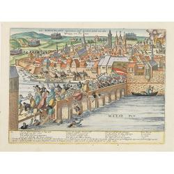
Wie Maestricht ingenomen und erobert wirdt. . .
Early print showing the siege of Maastricht under command of the sick Count Parma, June 29th 1579.The plates by Hogenberg are dealing with the independence war of Holland...
Place & Date: Cologne, 1590
Selling price: $200
Sold in 2017
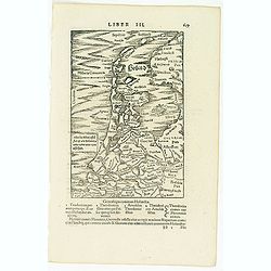
Holland. . .
On recto a map of the provinces of North and South Holland in the Netherlands. />From a Latin text edition of his Geographia , that great compendium of Renaissance kno...
Place & Date: Basle, 1550-1590
Selling price: $100
Sold in 2013
[Amsterdam]
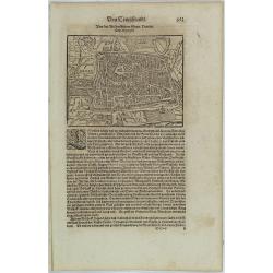
On verso an early birds-eye town-plan of Amsterdam. The wood block print is showing hundreds of individual buildings and houses. Ships in the harbor and the Amstel River....
Place & Date: Basle, 1550-1590
Selling price: $75
Sold in 2013
De Germania de Ducatu Brabantino. . . (Brabant)
On recto a map of the province of Brabant covering present-day the Netherlands and Belgium. From a Latin text edition of his Geographia , that great compendium of Renaiss...
Place & Date: Basle, 1550-1590
Selling price: $17
Sold in 2013
EYNDHOVEN - Nach dem Eindhoven mitt kriegs macht. . . .
Earliest printed bird's-eye view of Eindhoven. Showing the siege of April 13-23 1583. On April 22nd the young Count Carel van Mansfeld was taking the town after a 9 days ...
Place & Date: Cologne, 1590
Selling price: $1300
Sold in 2023
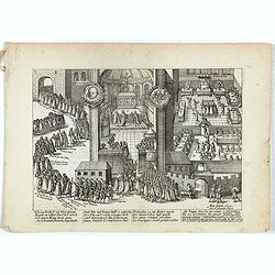
Hertzog Friedrich von Wirtenbergh. . .
Early print showing count Friedrich von Wirtenbergh receiving the English equestrian order on 16 November 1603 in Stuttgart.Plate from the series about the " Eighty ...
Place & Date: Cologne, ca. 1590
Selling price: $25
Sold in 2019
Gouda, elegantiß Hollandiae...
A highly detailed 16th-century birds-eye perspective plan of Gouda, with numerous buildings, streets, places, churches, and squares, together with the city walls, the har...
Place & Date: Cologne, ca. 1590
Selling price: $205
Sold in 2017
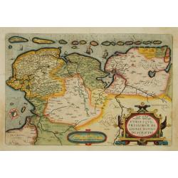
Utriusque Frisiorum Regionis Noviss Descriptio.
From 'Theatrum Orbis Terrarum [Atlas of the Whole World]'. Dare to go in Black. All early maps were printed in black and white, and many were kept that way for a long t...
Place & Date: Antwerp, 1590
Selling price: $240
Sold in 2018
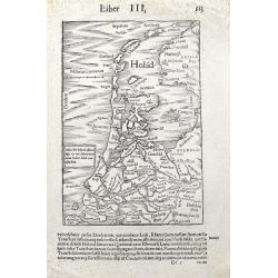
Holad.
A very early woodcut map from a Latin edition of Münsters famous 'Cosmographie'. It shows the area from Ameland until Bergen including many famous cities. With a ship sh...
Place & Date: Basel, ca 1590
Selling price: $36
Sold in 2019
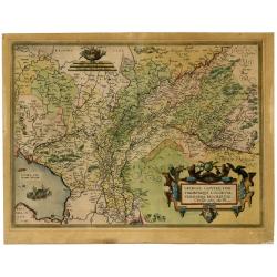
Gelria, Cliviae, Fini Timorumque Locorum Verissima Descriptio ...
Very decorative map of Gelderland and a part of Cleves in Germany. Shows two ships and a decorative cartouche with birds. Based on a manuscript map by Christiaan Sgrothen...
Place & Date: Antwerp, 1592
Selling price: $350
Sold in 2021
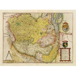
Brabantiae Belgarum Provinciae recens. . .
Based on a map by Jacob van Deventer, by order of King Charles V. Jacob van Deventer was one of the first cartographers of the Southern Netherlands. He was famous for his...
Place & Date: Antwerp, 1593
Selling price: $2000
Sold
Hollandt comitatus Utrecht episcop.
The rare first edition, with a large marshland in the Zuiderzee filled with ducks.The country of Holland, i.e.: present Noord- and Zuid-holland, plus Utrecht. Oriented we...
Place & Date: Duisburg, 1593
Selling price: $375
Sold in 2011
Germania Inferior Gallia, Belgica dicta, continens Hispaniarum Regis Provincias Septentrionalis.
Extremely rare map of Belgium, Luxemburg and the Netherlands from: "Speculum Orbis Terrarum" by Gerard and Cornelis de Jode.In 1578 Gerard de Jode published his...
Place & Date: Antwerp, 1578 - 1593
Selling price: $900
Sold in 2016
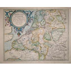
Descriptio Germaniae Inferioris.
The oval map is surrounded by a strapwork frame and the title, adorned with ribbons, is held aloft by two winged cherubs.According to P. Meurer based on de Jode's 12 shee...
Place & Date: Antwerp, 1595
Selling price: $305
Sold in 2015
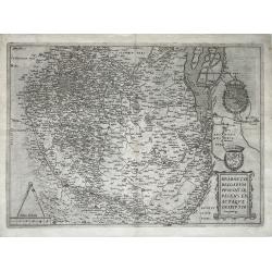
Brabantiae Belgarum Provinciae Exactaque Descriptio.
A very rare Brabant map, Netherlands, Belgium, Brabant; by Gerard de Jode - Brabantiae Belgarum Provinciae recens exactaque descriptio - 1595.Orientation: is West upwards...
Place & Date: Antwerp, 1595
Selling price: $1550
Sold in 2021
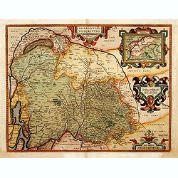
Brabantiae Descriptio.
In an inset Mechelen and surroundings. Decorative scale and title cartouche with dedicational initials which may refer to Laurentius Michaelis who may be connected with t...
Place & Date: Antwerp 1598
Selling price: $575
Sold
Oost ende West Vrieslandte beschryvinghe.
Prepared by Jacob van Deventer. A very decorative map of the Dutch provinces of Friesland, Groningen and Drente and of the German Province of Friesland.
Place & Date: Antwerp 1598
Selling price: $465
Sold
Descriptio Germaniae Inferioris.
The oval map is surrounded by a strapwork frame and the title, adorned with ribbons, is held aloft by two winged cherubs. Dare to go in Black. All early maps were prin...
Place & Date: Antwerp, 1598
Selling price: $400
Sold in 2021
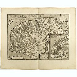
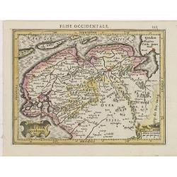
Frisia Occidentalis.
Includes the provinces of Friesland and Groningen. The map was prepared by Sibrandus Leonis (Leo Sybrands) from Leeuwarden in 1579. In a large inset a map of the Netherla...
Place & Date: Antwerp, 1598
Selling price: $250
Sold in 2022
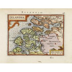
Zelandia.
Map of the Province of Zeeland, with its many islands and peninsulas. Major cities, small villages.
Place & Date: Amsterdam 1599
Selling price: $130
Sold
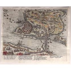
Der Candinal vor Hulst Komt An...
A very fine copper engraving of the attack of Hulst, showing the military strengths of opposing forces. Attack by Archduke Albert Von Austria, governor of the Netherlands...
Place & Date: Cologne, ca. 1600
Selling price: $37
Sold in 2018
Tabula Geographica Provinciarum Brabantiae, Geldriae, Comitatus sutphaniae, Trajectini, Transilvaniae, Drentiae, Twentiae, Hollandiae et Frisiae.
One of the rarest maps covering a large part of the Netherlands, engraved by Benjamin Wright and published by Cornelis Claesz. Schilder mentions only one other know copy ...
Place & Date: Amsterdam, c.1600
Selling price: $4000
Sold in 2014
Hollandiae Antiquorum Catthorum..
Prepared by Jacob van Deventer in 1550. It shows Holland in great detail, including small towns, walled cities, rivers and lakes (many of which were reclaimed in the 17th...
Place & Date: Antwerp 1602
Selling price: $850
Sold
Hollandiae Antiquorum Catthorum. . .
Prepared by Jacob van Deventer in 1550. It shows Holland in great detail, including small towns, walled cities, rivers and lakes (many of which were reclaimed in the 17th...
Place & Date: Antwerp, 1602
Selling price: $1400
Sold in 2008
Hollandiae Antiquorum Catthorum. . .
Prepared by Jacob van Deventer in 1550. It shows Holland in great detail, including small towns, walled cities, rivers and lakes (many of which were reclaimed in the 17th...
Place & Date: Antwerp, 1602
Selling price: $750
Sold in 2016
Hollandiae Antiquorum.
A third state of this mile stone map published by Ortelius on the basis of the map drawn by Jacob van Deventer in abt. 1550. Decorated with a large strapwork title cartou...
Place & Date: Antwerp, 1603
Selling price: $555
Sold in 2015
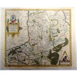
Limburgensis Ducatus Nova Descriptio . .
This hand colored Mercator/Hondius map of the Duchy of Limburg is now of northeastern Belgium and southern Netherlands. Large title cartouche with coat of arms. Latin tex...
Place & Date: Antwerp, 1603
Selling price: $275
Sold in 2015
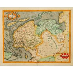
Frisia Occidentalis.
Finely engraved map of the provinces Groningen and Friesland. Mercator was born in Rupelmonde in Flanders and studied in Louvain under Gemma Frisius, Dutch writer, astron...
Place & Date: Amsterdam 1606
Selling price: $410
Sold
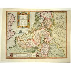
Belgii..
A beautiful map of the Low Countries, with a nice cartouche and a sail ship going the England.
Place & Date: Amsterdam 1606
Selling price: $420
Sold
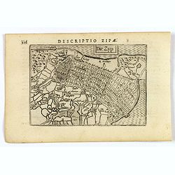
Die Zyp.
A lovely miniature map of the Zijpepolder in The Netherlands, published by Petrus Bertius, in Amsterdam at the beginning of the seventeenth century. There is a small rect...
Place & Date: Amsterdam, 1606
Selling price: $50
Sold in 2020
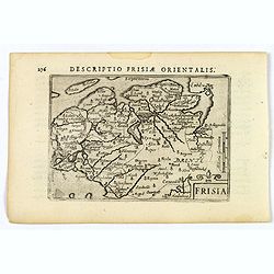
Frisia.
An attractive miniature map of the north Holland, region of Frisia, published by Petrus Bertius, in Amsterdam at the beginning of the seventeenth century. It features a s...
Place & Date: Amsterdam, 1606
Selling price: $60
Sold in 2019
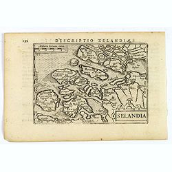
Selandia.
An original early 17th century copper engraved miniature antique map of the S.W. Dutch province of Zeeland by Petrus Bertius, that was published in Amsterdam at the begin...
Place & Date: Amsterdam, 1606
Selling price: $60
Sold in 2022
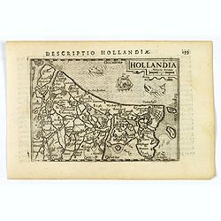
Hollandiae.
An original early 17th century copper engraved miniature antique map of Holland by Petrus Bertius, that was published in Amsterdam at the beginning of the seventeenth cen...
Place & Date: Amsterdam, 1606
Selling price: $60
Sold in 2019
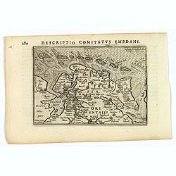
Descriptio Comitatus Embdani.
An original early 17th century copper engraved miniature antique map of East Friesland by Petrus Bertius, that was published in Amsterdam at the beginning of the seventee...
Place & Date: Amsterdam, 1606
Selling price: $40
Sold in 2023
Zuydhollad.
An very attractive miniature map of south Holland, published by Petrus Bertius, and published in Amsterdam at the beginning of the seventeenth century. A map that is beau...
Place & Date: Amsterdam, 1606
Selling price: $45
Sold in 2022
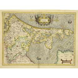
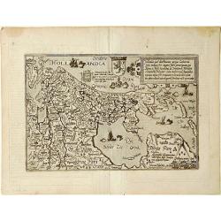
Hollandia Occidens.
Quad's atlas publication of Jacob van Deventer's survey of the province of Holland surveyed in 1537 and published first in Antwerp in nine sheets by Bernard van der Putte...
Place & Date: Cologne 1592 - 1608
Selling price: $360
Sold
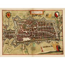
Trajectum. (Utrecht)
A bird's eye view of the town. From the first Dutch translation of Guicciardini's description of the Netherlands.
Place & Date: Amsterdam 1608
Selling price: $230
Sold
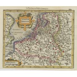
Inferior Germania.
Small map of the Netherlands, Belgium and Luxembourg with strap work title cartouche and scale of miles cartouche.From the first French-text edition of Jodocus Hondius' A...
Place & Date: Amsterdam, 1608
Selling price: $210
Sold in 2008
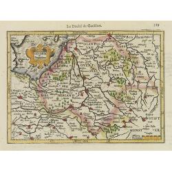
Geldria et Transisulana.
One of the earliest maps of Gelderland and Overijssel, from the first French-text edition of Jodocus Hondius' Atlas Minor.Shortly after the publication of the big folio-a...
Place & Date: Amsterdam, 1608
Selling price: $200
Sold in 2008
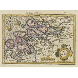
Zeelandia.
Striking example of Mercator?s close-up map of the region. A few old place names have been retained today.Strap work cartouche and scale bar. Sailing ship and ship being ...
Place & Date: Amsterdam, 1608
Selling price: $220
Sold in 2008
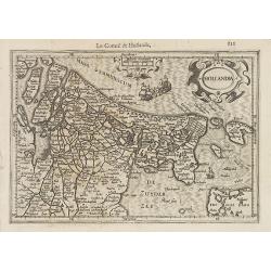
Hollandia.
Small map of the province Holland, with strapwork title cartouche and scale of miles cartouche.From the first French-text edition of Jodocus Hondius' Atlas Minor.Shortly ...
Place & Date: Amsterdam, 1608
Selling price: $100
Sold in 2022
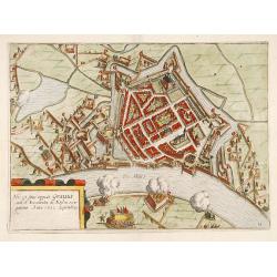
Hic est situs oppidi Grauiae.. (Grave)
Showing the siege of Grave in the year 1602. From the first Dutch translation of Guicciardini's description of the Netherlands.
Place & Date: Amsterdam, 1608
Selling price: $150
Sold in 2019
Frisia Occidenta.
Map of the provinces Groningen and Friesland. From the first French-text edition of Jodocus Hondius' Atlas Minor.Shortly after the publication of the big folio-atlases th...
Place & Date: Amsterdam, 1608
Selling price: $50
Sold in 2016
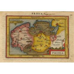
Frisia.
Miniature map of Frisia with also the provinces Drente and Groningen, The upper east part of the Netherlands with major cities named. Sea is stipple engraved. Strapwork t...
Place & Date: Antwerp 1609
Selling price: $80
Sold
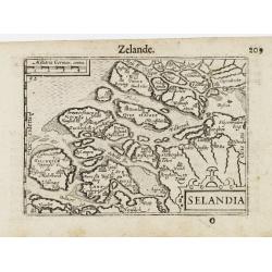
Selandia / Zelande.
A miniature map of Zeeland. Title cartouche on the lower right corner.First published in 1598 in his Caert-Thresoor, the plates were executed by the most famous engravers...
Place & Date: Amsterdam/Frankfurt 1609
Selling price: $120
Sold
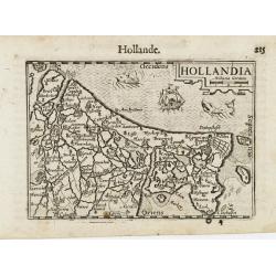
Holandia / Hollande.
A miniature map of Holland. Title cartouche on the upper right corner. The sea is decorated with two fantastic animals and a ship.First published in 1598 in his Caert-Thr...
Place & Date: Amsterdam/Frankfurt 1609
Selling price: $100
Sold
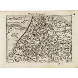
Zyudhollad / Zud Hollande.
A miniature map of Holland. Title cartouche on the upper left corner. The sea is decorated with a ship.First published in 1598 in his Caert-Thresoor, the plates were exec...
Place & Date: Amsterdam / Frankfurt, 1609
Selling price: $100
Sold
.jpg)
![[Guerre des Pays-Bas] Geschichtsblätter (172 plates).](/uploads/cache/44450-250x250.jpg)

![Sneecha, vulgo Sneeck ... [on sheet with] Doccum [and] Sloten [and] Ylsta. (Sneek, Doccum, Sloten, IJlst)](/uploads/cache/84373-250x250.jpg)
![Bolzvardia vetus in Frisia Foederis Anzae teurinicae Op. [on sheet with] Stavria, vulgo Stavere ... [and] Harlinga [and] Hindelop. (Bolsward, Stavoren, Harlingen, Hindelopen)](/uploads/cache/84374-250x250.jpg)
![De Ducatu Brabantino .. [Brabant]](/uploads/cache/13794-250x250.jpg)

![Holandt. [Holland].](/uploads/cache/26999-250x250.jpg)
![[Amsterdam]](/uploads/cache/32574-250x250.jpg)
