Search Listings matching "cyprus" in Europe > Mediterranean & Islands
Calaris [on sheet with] Malta [and] Rhodus [and] Famagusta.
One sheet with very desirable and early town-plans of four Mediterranean island capitals—Cagliari (Sardinia), Valletta (Malta), Rhodes, and Famagusta (Cyprus). "C...
Place & Date: Cologne, (1572) 1577
Selling price: $550
Sold in 2015
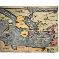
Tafel Der Lender Darin Der Apostel Paulus Geprediget Hat.
The Eastern Mediterranean, from the "Itinerarium Sacrae Scripturae", showing Italy, Sicily, Greece, Cyprus, Asia Minor, the Holy Land and North Africa, with cit...
Place & Date: Magdeburg, 1585
Selling price: $400
Sold in 2014
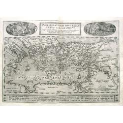
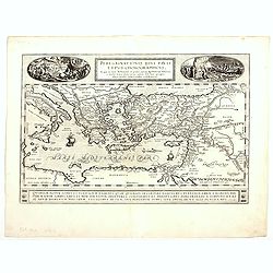
Peregrinationis Divi Pauli Typus Corographicus...
Ortelius's map of Paulus's travels from his Atlas Theatrum Orbis Terrarum. It covers the Mediterranean Sea from Italy and Sicily until the Near East and Egypt, with Cypru...
Place & Date: Antwerp, 1587
Selling price: $180
Sold in 2019
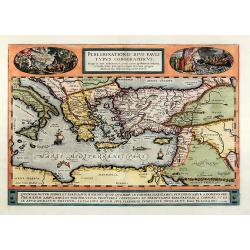
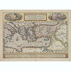
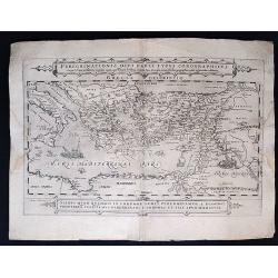
Peregrinationis divi Pauli typus corographicus
Hand colored map of the Eastern Mediterranean by Abraham Ortelius. Covering the Mediterranean Sea between Israel and Sicily with Cyprus, Italy, Greece and Turkey. With tw...
Place & Date: Antwerp, 1592
Selling price: $700
Sold in 2010
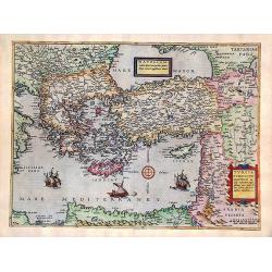
Natoliam Moderni dicunt tam partem quam Asiam minrem appelauere veteres (with Cyprus)
Engraved by Van Deutecum, this is a spectacular example of the 1593 edition of the very rare De Jode's map of the Eastern Mediterranean and Asia Minor. It has two title c...
Place & Date: Antwerp, 1593
Selling price: $2900
Sold in 2014
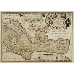
Aeneae Troiani navigatio..
After the destruction of Troy, Aenaeas is reported to have roamed the seas for seven years, as described in the writings of Xenophon, Ovidius, Lycrophonous, but most exte...
Place & Date: Antwerp 1595
Selling price: $320
Sold
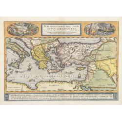
Peregrinationis Divi Pauli Typus Corographicus . . .
A splendid map depicting the travels of Paulus. With two fine scenes in top. Showing the countries along the Mediterranean, including Cyprus and Italy. Based on Mercator'...
Place & Date: Antwerp, 1595
Selling price: $1300
Sold
Peregrinationis Divi Pauli Typus...
A splendid map depicting the travels of Paulus. With two fine scenes in top. Showing the countries along the Mediterranean, including Cyprus and Italy. Based on Mercator'...
Place & Date: Antwerp, 1595
Selling price: $600
Sold in 2014
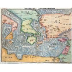
Tafel der Lender / darin der Apostel Paulus geprediget hat.
Woodcut showing the Eastern Mediterranean from the "Itinerarium Sacrae Scripturae", showing Italy, Sicily, Greece, Cyprus, Asia Minor, the Holy Land and North A...
Place & Date: Magdeburg, 1595
Selling price: $340
Sold in 2017
Peregrinatio Pauli..
Early map showing the travels of Paulus, including Greece, Crete, Turkey, Palestine and Cyprus.From the first French-text edition of Jodocus Hondius'' Atlas Minor.Shortly...
Place & Date: Amsterdam, 1608
Selling price: $220
Sold in 2008
Cyprus Ins
From the "Gerardi Mercatoris Atlas sive Cosmographicae meditationes de fabrica mundi et fabricati figura denuò auctus". Latin text on verso. An elegant map of ...
Place & Date: Amsterdam, c 1611
Selling price: $800
Sold
Aeneae Troiani Navigatio.
From the famous historical Atlas Parergon. The map is ornated with four cartouches, on top in the middle the title cartouche, on the middle right, underneath a decorative...
Place & Date: Antwerp, 1612
Selling price: $1200
Sold in 2013
Peregrinationis Divi Pauli Typus…
A splendid map depicting the travels of Paulus. With two fine scenes in top. Showing the countries along the Mediterranean, including Cyprus and Italy. Based on Mercator'...
Place & Date: Antwerp, 1624
Selling price: $350
Sold in 2023
Peregrinationis Divi Pauli Typus Corographicus. . .
Peregrinationis Divi Pauli Typus Corographicus In quo & novi testamenti, in primis autem apostulorum historiae, a Sancto Luca descripta, omnia fere loca geographica, ...
Place & Date: Paris, 1655
Selling price: $550
Sold in 2020
Insular Aliquot Aegaei Maris Antiqua Descrip.
A small map of Mediterranean islands based in part on Ortelius. The central map is of the Greek island Euboea and is surrounded by small maps of other islands. This compo...
Place & Date: Amsterdam 1661
Selling price: $80
Sold
Deze Caerte van de reysen Pauli..
Rare wood block map, depicting the Mediterranean, with an over-sized Cyprus from the final Dutch edition of Heinrich Bünting's famous Itinerarium Sacrae Scripturae, a bo...
Place & Date: Amsterdam 1663
Selling price: $420
Sold
Pas Kaert der Middelandsche.
Companion sea chart of lot 15518 from Doncker?s Nieuw Groot Stuurmans Straets-Book depicting eastern half of Mediterranean covering Italy and Cyprus and entire eastern sh...
Place & Date: Amsterdam 1670
Selling price: $755
Sold
Parte Orientale del Mediterraneo..
A beautiful map depicting the eastern part of the Mediterranean Basin, including a nice representation of Cyprus. With decorative title cartouche and scale cartouche.Hist...
Place & Date: Venice 1690
Selling price: $850
Sold
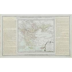
Turquie Européenne, Avec les Pays limitrophes..
Copper engraved map centered on Greece, extending northwards and eastwards to include the Balkans and Ukraine as well as Cyprus.The map is flanked by two columns of Frenc...
Place & Date: Paris, 1790
Selling price: $120
Sold in 2012
A Pictorial Map of Cyprus.
An attractive hand painted map of Cyprus a scroll cartouche has the Historical dates of the Islands occupation, the map centers on Nicosia. The sea has galleons, sea mons...
Place & Date: ca. 1950
Selling price: $95
Sold in 2014
Cyprus
Large Admiralty sea chart of Cyprus.
Place & Date: London, 1964
Selling price: $60
Sold in 2017
![Calaris [on sheet with] Malta [and] Rhodus [and] Famagusta.](/uploads/cache/33682-250x250.jpg)
