Browse Listings in Europe > Italy > Italy Provinces
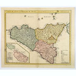
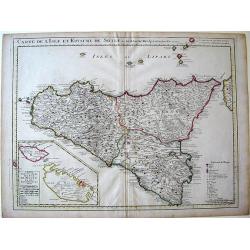
Carte de l'Isle et Royaume de Sicile Par Guillaume del 'Isle . . .
Detailed and rare issue of this map of Sicily prepared by de L'Isle. Beautiful rendering of Mt. Etna. An inset map of the islands of Malta and Gozzo, " Carte particu...
Place & Date: Amsterdam c. 1744
Selling price: $700
Sold in 2015
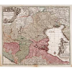
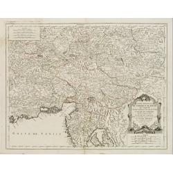
Le Duché de Carniole. . .
Fine map of part of Italy with Istria and part of Slovenia with a splendid cartouche. With inset of "Lake de Gireknitz" in lower right corner. From his rare atl...
Place & Date: Paris, 1744
Selling price: $130
Sold in 2016
Carte de l'Isle et Royaume de Sicile Par Guillaume del 'Isle . . .
A detailed and rare issue of this map of Sicily prepared by de L'Isle, highlighted by some beautiful rendering of Mt. Etna. An inset map of the islands of Malta and Gozzo...
Place & Date: Amsterdam ca 1744
Selling price: $200
Sold in 2021
Regionum Italiae Mediarum Tabula Geographica.
Very decorative map of the central Italy showing Rome at the centre of the sheet. An interesting inset on lower left corner of the map illustrates topographical features ...
Place & Date: Amsterdam, c. 1745
Selling price: $275
Sold in 2014
Carte du Piemont et du Monferrat Dressée sur plusieurs Cartes..
Large, detailed map of Valle d'Aosta and most part of Piedmont. Includes illustrated topography with notations about towns, roads, passes, mountains, etc. Relief shown pi...
Place & Date: Amsterdam, c. 1745
Selling price: $500
Sold in 2008
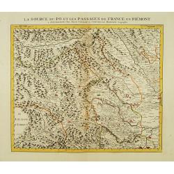
La Source du Po, et les passages de France en Piémont.
First of 5 detailed maps illustrating the flow of the river Po, in northern Italy, this maps depicts the mountainous area at the border between Italy and France. Relief s...
Place & Date: Amsterdam c. 1745
Selling price: $335
Sold
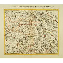
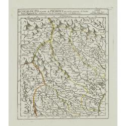
Le Cours du Po dans le Piemont et le Montferrat.
Second of 5 detailed maps illustrating the flow of the river Po, in northern Italy, this maps depicts the stretch of river flowing through the Piedmont and the Monferrato...
Place & Date: Amsterdam c. 1745
Selling price: $335
Sold
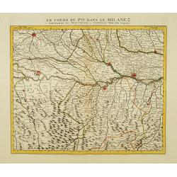
Le Cours du Po dans le Milanez.
Third of 5 detailed maps illustrating the flow of the river Po, in northern Italy, this maps depicts the stretch of river marking the natural border between Lombardy and ...
Place & Date: Amsterdam c. 1745
Selling price: $335
Sold
Le Cours du Po dans le Duche de Mantoue.
Fourth of 5 detailed maps illustrating the flow of the river Po, in northern Italy, this maps depicts the stretch of river flowing through the province of Mantua as far a...
Place & Date: Amsterdam c. 1745
Selling price: $300
Sold
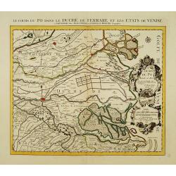
Le Cours du Po dans le Duché de Ferrare et les Etats de Venise..
Last of 5 detailed maps illustrating the flow of the river Po, in northern Italy, this maps depicts the last stretch of river from Ravalle as far as its delta into the Ad...
Place & Date: Amsterdam c. 1745
Selling price: $335
Sold
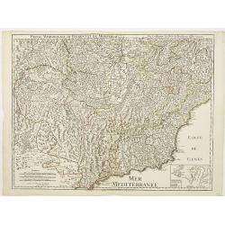
Partie Meridionale du Piemont et du Monferrat..
Map covering the southern part of the Piedmont and the "Riviera di ponente", the sea coast at the east of Genoa. It includes par of France and the Principality ...
Place & Date: Paris 1745
Selling price: $200
Sold
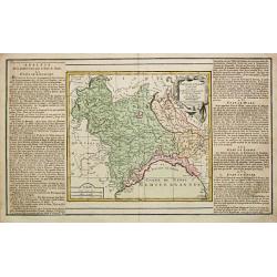
Partie Meridionale du Piemont et du Monferrat . . . plusieurs Cartes..
Large, detailed map of Valle d'Aosta and most part of Piedmont. Includes illustrated topography with notations about towns, roads, passes, mountains, etc. Relief shown pi...
Place & Date: Amsterdam, c. 1745
Selling price: $600
Sold
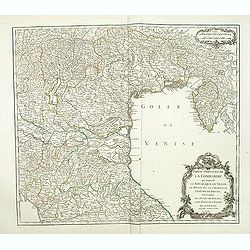
Carte du Golfe de Venise . . .
Map of N.E. Italy, from Venice to Trieste
Place & Date: Amsterdam, c.1745
Selling price: $210
Sold in 2010
[Untitled] Front views of the Tyrrhenian coastal relief of Italy.
Copper engraving presenting separate front views of the coastal relief of Italy between Tuscany and Campania with its Tyrrhenian islands, divided in stripes.From the rare...
Place & Date: Marseille, 1732 - 1746
Selling price: $50
Sold in 2009
[Untitled] Front views of the Italian coastal relief.
Copper engraving presenting separate front views of the Tyrrhenian as well as Ionian coastal relief of Italy, divided in stripes.From the rare chart book by Jacques Ayrou...
Place & Date: Marseille, 1732 - 1746
Selling price: $60
Sold in 2009
Plan du Port et Rade de Livourne..
Copper engraving showing the harbor and roadstead of Livorno with the adjacent seashores. Decorated with a large compass rose.From the rare chart book by Jacques Ayrouard...
Place & Date: Marseille, 1732 - 1746
Selling price: $225
Sold in 2009
Plan du Port et Rade de Livourne..
Copper engraving centered on the harbour and roadstead of Livorno. Decorated with a large compass rose.From the rare chart book by Jacques Ayrouard: Recueil de plusieurs ...
Place & Date: Marseille, 1732 - 1746
Selling price: $150
Sold in 2015
Plan du Port de Civita-Vechia. . .
Large plan of the harbour in Civitavecchia. Decorated with a large compass rose.From the rare chart book by Jacques Ayrouard: Recueil de plusieurs Ports .. de la Mer Méd...
Place & Date: Marseille, 1732 - 1746
Selling price: $150
Sold in 2015
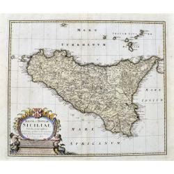
Regni & Insulae Siciliae Tabula geographica ex Archetypo...
A fine and detailed map of Sicily and the Aeolian Islands. Includes many towns, roads, mountains, rivers, bays, etc. Decorated with a large cartouche.
Place & Date: Nuremberg, 1747
Selling price: $125
Sold in 2017
A New and Accurate Map of Savoy, Piedmont, and Montferrat. . .
This is the striking 1747 map of Savoy, Piedmont and Montserrat in northern Italy by Emanuel Bowen. It covers part of modern day France and Italy from Lake Geneva south a...
Place & Date: London, 1747
Selling price: $110
Sold in 2018
Middle or Proper Italy.
A map of central Italy, from Roman times, and published in "An Universal History from the Earliest Account of Time to the Present". With a quaint title cartouch...
Place & Date: London, ca 1747
Selling price: $120
Sold in 2019
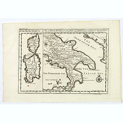
A Map of Great Greece and of the Islands of Sardinia and Corsica. . .
A map showing the islands of Sardinia and Corsica, and southern Italy to the northern tip of Sicily in roman times. From "An Universal History, from the Earliest Acc...
Place & Date: London, 1747
Selling price: $50
Sold in 2020
Regni & Insulae Siciliae tabula geographica...
A very detailed map of Sicily and surrounding smaller islands (Lipari, Stromboli, Ustica, etc.). Shows the Etna volcano, rivers, hills, roads, and many place names. With ...
Place & Date: Nuremberg, ca. 1747
Selling price: $250
Sold in 2021
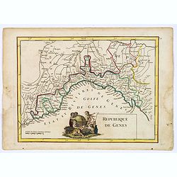
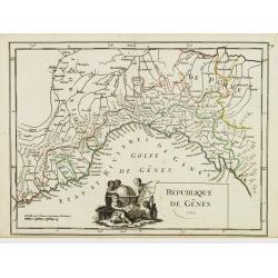
Republique de Genes.
Nice map of northwest Italy and the Gulf of Genoa, at left Nice and Monaco, there is a nice putti-scene in the sea.
Place & Date: Paris 1748
Selling price: $130
Sold
II. Cours du Po et Partie du Piémont où sont les environs de Turin..
Detailed small map showing the northwestern part of Piedmont and a short stretch of the river Po going through Turin.Relief shown pictorially. From Atlas Portatif Univers...
Place & Date: Paris, later than 1748
Selling price: $135
Sold
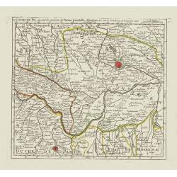
V. Cours du Po, où sont les environs de Parme, Guastalle, Mantoue, &c.
Detailed small map centered on the stretch of the river Po flowing through the region Lombardy, between Villanova sull'Arda and San Siro, southeast of Mantua.From Atlas P...
Place & Date: Paris, later than 1748
Selling price: $135
Sold
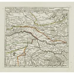
VI. Cours du Po, ou sont les environs de la Mirandole, partie du Veronese, Padouan, Ferrarese, Bolonois, &c.
Detailed small map centered on the stretch of the river Po flowing between Ostiglia and Ro, in the Province of Ferrara.From Atlas Portatif Universel, by Robert de Vaugond...
Place & Date: Paris, later than 1748
Selling price: $135
Sold
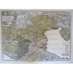
Etat de la Seigneurie et République de Venise avec l'Evêché de Trente.
Detailed small map of northern Italy. Including Istria in the East and extending westwards as far as Bergamo and Crema.From Atlas Portatif Universel, by Robert de Vaugond...
Place & Date: Paris, 1748
Selling price: $100
Sold in 2010
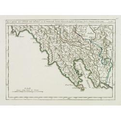
[III]. Carte de l'Etât de Gênes où se trouvent la Principauté d'Oneille, les enviros d'Albinga, le Marquisat de Finale &c.
Detailed small map showing the Ligurian seacoast stretching from Oneglia as far as Vado Ligure.Relief shown pictorially. From Atlas Portatif Universel, by Robert de Vaugo...
Place & Date: Paris, later than 1748
Selling price: $100
Sold in 2013
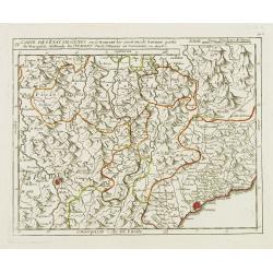
IV. Carte de l'Etât de Gênes ou se trouvent les environs de Savone..
Detailed small map showing an area straddling the Piedmontese province of Cuneo and the Ligurian province of Savona.Relief shown pictorially. From Atlas Portatif Universe...
Place & Date: Paris, later than 1748
Selling price: $100
Sold in 2013
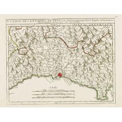
V. Carte des Environs de Genes..
Detailed small map centered on Genoa. With Portofino in the lower right corner. Relief shown pictorially.From Atlas Portatif Universel, by Robert de Vaugondy.Page 56.e ou...
Place & Date: Paris, later than 1748
Selling price: $50
Sold in 2017
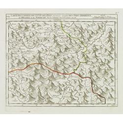
VII. Carte des Confins de l'Etât de Gênes.. Milanez et du Parmesan.
Detailed small map showing an area straddling the provinces of Alessandria, Pavia and Piacenza on 3 different regions.Relief shown pictorially. From Atlas Portatif Univer...
Place & Date: Paris, later than 1748
Selling price: $100
Sold in 2014
IX. Carte de l'Etât de Gênes ou se trouvent Sestri-di Levante, Spetia et Sarzana.
Detailed small map showing the east most tip of Liguria. Relief shown pictorially.From Atlas Portatif Universel, by Robert de Vaugondy.Page 56.i outside border top right....
Place & Date: Paris, later than 1748
Selling price: $100
Sold in 2008
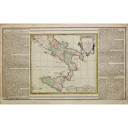
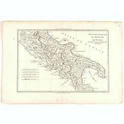
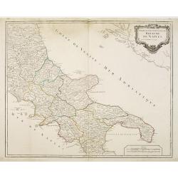
Partie septentrionale du Royaume de Naples.
Map of the southern part of Italy with Naples from his "Atlas Universel".Gilles Robert de Vaugondy (1688–1766), also known as Le Sieur or Monsieur Robert, and...
Place & Date: Paris, 1748
Selling price: $60
Sold
Republique de Genes.
A nice map of northwest Italy and the Gulf of Genoa, at left Nice and Monaco, there is a nice putti-scene in the sea, reflecting Genoese exploration and discovery around ...
Place & Date: Paris, 1748
Selling price: $50
Sold in 2019
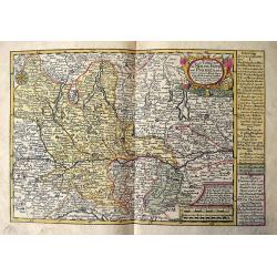
Das meiste von der Lombardey als Meyland, Parma und Piacenza...
Rare map of Lombardy, Piemont, Aosta, Liguria, and Ticino in Switzerland. With the Lago Maggiore, Lago di Como, Lago di Garda, Lago d'Iseo. Extends from Torino to Verona,...
Place & Date: Leipzig, 1749
Selling price: $100
Sold in 2017
Das Groshertzogthum Florentz und die Republic Lucca...
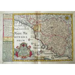
Fine map of Tuscany. Extends from Genoa until Civitavecchia, and inland until Cervia. With Elba and Isola del Giglio. Filled with place names, such as Florence, Siena, Lu...
Place & Date: Leipzig, 1749
Selling price: $90
Sold in 2018
Siciliae Regnum cum adjacente Insula Sardinia et maxima parte Regni Neapolitani.
Map of Sicily, Sardinia, Malta and parts of Corsica, South Italy and North Africa. Inset map of Messina and Cartana.
Place & Date: Augsburg, 1750
Selling price: $300
Sold in 2010
Partie septentrionale du Royaume de Naples.
Map of the southern part of Italy with Naples.
Place & Date: Paris, c.1750
Selling price: $35
Sold in 2011
Partie méridionale du royaume de Naples où se trouvent la Calabre et l'isle et royaume de Sicile. . .
Detailed map of Calabria and Sicily, and inset map with Malte Islands. Dated 1750.Ornated with a large title cartouche and a scale cartouche in the left corners. Inset ma...
Place & Date: Paris, 1750
Selling price: $145
Sold in 2011
Gross Griechenland oder Apulien, Lucanien und Bruttium.
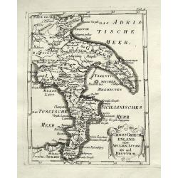
A rare map of soutern Italy. Shows the area from Apulia to Messina in Sicily, including Salerno, Paestum, Potenza, Bari, Tarent, Lamezia, Crotone, Reggio, and many more w...
Place & Date: Anon, ca. 1750
Selling price: $76
Sold in 2018
Der Adriatische Meerbusen und die daran graenzende Alte Völker.
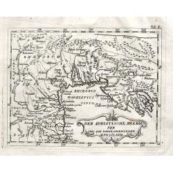
A rare map of northern Italy. Shows the area from Brixen to Istria, including Verona, Venice, Trieste, and Pula, by an unidentified and unknown cartographer.
Place & Date: Anon, ca. 1750
Selling price: $55
Sold in 2018
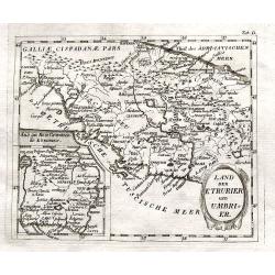
Land der Etrurier und Umbrier.
A rare map of central Italy. Shows the area from Porto Venere until Ancona, including Rome, Pisa, and Siena. An inset map shows the area around Rome. By an unidentified a...
Place & Date: Anon, ca. 1750
Selling price: $105
Sold in 2018
Wohnsitz der Sabiner, und ihrer Abkömlinge.
A rare map of central Italy. Shows the area from Ancona to Benevento, including Rome, Narni, Terni, Ortona, and many more with their old names. An inset map shows the Vel...
Place & Date: Anon, ca. 1750
Selling price: $17
Sold in 2018
Vorstellung v. Campanien u. Samnium.
A rare map of the area around Naples. Shows the area from Città di Castello until Salerno. Includes Naples, Nola, Sorrento, islands of Capri and Ischia, and many more wi...
Place & Date: Anon, ca. 1750
Selling price: $17
Sold in 2018
Partie Meridionale du Royaume de Naples. . .
A quite striking map of Sicily, Naples and neighbouring islands, with a large attractive inset of Malta, and extreme southern portion of Sicily, taken from an early editi...
Place & Date: Paris, ca 1750
Selling price: $110
Sold in 2019
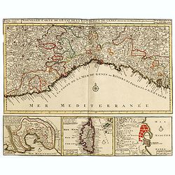
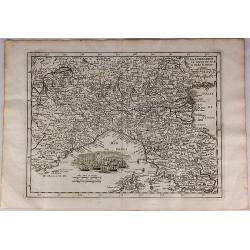
Nouvelle Carte de l'Etat de la Republique de Genes. Dressé sur les mémoires les plus nouveaux. . .
Uncommon map of the Ligurian coast around Genoa in northern Italy with three insets below of the harbors of Genoa and Bastia and the island of Corsica.Joachim Ottens (166...
Place & Date: Amsterdam, 1751
Selling price: $550
Sold in 2016
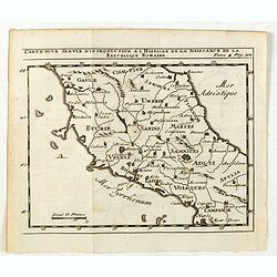
Carte pour servir d'introduction à l histoire de la naissance de la republique Romaine.
Scarce small map of central Italy based on cartography of Guillaume Delisle (. Published in "Nouveau traité de geographie par M**** ", published by La veuve Lo...
Place & Date: Paris, 1752
Selling price: $25
Sold in 2015
[3 Maps] Latium, Italia propria, Magna Graecia Italiae antiquae pars.
Map 1 Latium Roma and its environs. Good condition strong impression, Map 2 Italia propria condition one small margin tear top left strong impression, Map 3 Magna Graec...
Place & Date: Leipzig, 1755
Selling price: $170
Sold in 2013
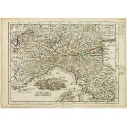
La Lombardie, Le Cours du Po &c Le Duché de Toscane.
Fine map of northern Italy with decorative cartouche illustrating some vessels in the gulf of Genoa. With manuscript notes in right margin giving some historical informat...
Place & Date: Paris 1756
Selling price: $75
Sold
République de Gênes.
Fine map of the gulf of Genoa. With decorative title cartouche. With date 1749 added in manuscript.George Louis Le Rouge was active from 1740- till 1780 as a publisher, a...
Place & Date: Paris 1756
Selling price: $75
Sold
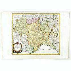
Partie occidentale de la Lombardie. . .
Detailed map of the region of the north of Italy from his "Atlas Universel." Gilles Robert de Vaugondy (1688–1766), also known as Le Sieur or Monsieur Robert,...
Place & Date: Paris, 1756
Selling price: $75
Sold in 2011
Partie occidentale de la Lombardie qui comprend la République de Venise. . .
Detailed map of region of north of Italia from his "Atlas Universel".Gilles Robert de Vaugondy (1688–1766), also known as Le Sieur or Monsieur Robert, and his...
Place & Date: Paris, 1756
Selling price: $120
Sold in 2011
Partie occidentale de la Lombardie. . .
Detailed map of region of north of Italy from his "Atlas Universel".Gilles Robert de Vaugondy (1688–1766), also known as Le Sieur or Monsieur Robert, and his ...
Place & Date: Paris, 1756
Selling price: $140
Sold in 2016
La Lombardie le Cours du Po & le Duche de Toscane...
A fine map of northern Italy with a decorative cartouche illustrating some vessels in the gulf of Genoa. With manuscript notes in right margin giving some historical info...
Place & Date: Paris, 1756
Selling price: $37
Sold in 2018
Carte de L\'Isle et Royaume de Sicile.
Map of Sicily.
Place & Date: Amsterdam, 1760
Selling price: $163
Sold in 2010
Ducatus Sabaudiae, Principatus Pedemontium et ducatis Montisferrati.
Johan Baptist Homann (1663-1724). Outstanding German cartographer. Founder of the Homann publishing house. After the death of the son Johann Christoph, the firm continued...
Place & Date: Nurnberg, 1762
Selling price: $275
Sold
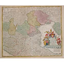
Dominii Veneti.
Johan Baptist Homann (1663-1724). Outstanding German cartographer. Founder of the Homann publishing house. After the death of the son Johann Christoph, the firm continued...
Place & Date: Nürnberg, 1762
Selling price: $300
Sold
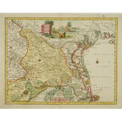
Carta Geografica del Territorio Padovano.
Very fine decorative map of Venice and its immediate environs, the surrounding rice fields intersected by a network of waterways and canals.
Place & Date: Venice, 1740-1762
Selling price: $250
Sold in 2015
Status Mutinensis.
Homann Heirs (of Johann Baptist and Johann Christof) published: Grosser Atlas, 1731, 1737. Geogr. Maior, 1759, Atlas Homannianus, 1762.A map of Modena and the area around...
Place & Date: Nürnberg, 1762
Selling price: $360
Sold
Regiae Celsitudinis Sabaudicae Status in quo ducatus Sabaudiae Principatus Dedemontium. . .
A highly detailed map of the Piedmont region in Northern Italy. The major cities of Torino, Milan, and Genoa and Geneva as well as Switzerland are shown. Cartouche includ...
Place & Date: Nuremberg, 1762
Selling price: $46
Sold in 2018
Plan de Porto Ferara. [26]
Charming chart of Ferara harbour. Showing town and harbour plan, with soundings, anchorages, rocks, shoals, fortifications, lighthouses.Joseph Roux (1725-1793) was a Mars...
Place & Date: Marseille, 1764
Selling price: $45
Sold in 2015
Partie de l' Italy Comprenant les etats du Roy de Sardaigne, de Milan, Parme et Génes.
Louis Brion de la Tour (1756-1823), ' Atlas Géneral, Civil et Ecclésiastique', 1766, ' Atlas Général', 1790-98. Louis Charles Desnos (fl.1750-70), Le Rouge's 'Atlas N...
Place & Date: Paris, 1769
Selling price: $140
Sold
Etats des deux Siciles.
Louis Brion de la Tour (1756-1823), ' Atlas Géneral, Civil et Ecclésiastique', 1766, ' Atlas Général', 1790-98. Louis Charles Desnos (fl.1750-70), Le Rouge's 'Atlas N...
Place & Date: Paris, 1769
Selling price: $180
Sold
Dominium Venetum..
Seutter's well-engraved map has a large decorative cartouche. Detailed map centred on Venice.The map is in original wash color and has an uncolored cartouche.
Place & Date: Nuremberg 1770
Selling price: $515
Sold
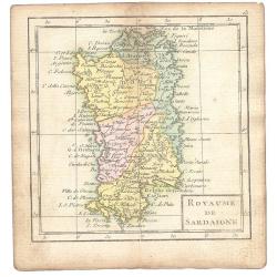
Royaume De Sardaigne
A map showing Sardinia from the uncommon miniature atlas Almanach Geographique ou Petit Atlas Elémentaire, published by Desnos in Paris ca. 1770. Acclaimed French map ...
Place & Date: Paris ca. 1770
Selling price: $61
Sold
Dominii Veneti in Italia. . .
Map of Northeast Italy, including Venice.
Place & Date: Amsterdam, Covens and Mortier, 1770
Selling price: $315
Sold in 2010
Partie Septentrionale du Royaume de Naples.
Map of the Northern part of the Kingdom of Naples, by Rigobert Bonne.
Place & Date: Paris, 1771
Selling price: $15
Sold in 2022
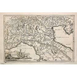
Gallia Cisalpina.
Christoforus Cellearius (1638-1707), geographer. Geographia Antiqua, 1686-1812, Notitia orbis antiquis sive geographia plenior, 1703.A map of northern Italy. From "N...
Place & Date: Leipzig, 1773
Selling price: $85
Sold
Partie Meridionale du cercle D'Autriche. . .
Uncommon, finely and crisply engraved map with large decorative title cartouche.Very detailed sheet that is centered roughly on Trieste and extends in to the mouth of the...
Place & Date: Venice 1777
Selling price: $90
Sold in 2017
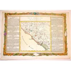
Suite de L'Histoire de Rome, Depuis L'An 3565 Jusqu'a l'An 3591.
Pleasant hand-colored copper engraved map of ancient Rome. With lovely floral ribboned border, engraved separately. Text in French. Louis Charles Desnos (1725-1805) was ...
Place & Date: Paris, 1780
Selling price: $32
Sold in 2015
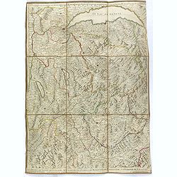
Les duchés de Savoye, de Genevois, de Chablais, les comtés de Maurienne, de Tarentaise et la baronie de Faucigny, le bailliage de Gex et la Seigneurie de Genève.
Uncommon folding case map showing the region of Pays de Gex et le Genevois, le Chablais et le Faucigny, la Savoie, la Maurienne et la Tarentaise. Prepared by H.Jaillot an...
Place & Date: Paris, ca. 1780
Selling price: $80
Sold in 2016
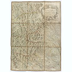
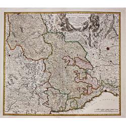
Les Estats de Savoye et de Piémont. Le Dauphiné, la Bresse partie de Linois et de la Provence
Uncommon folding case map showing the region of Pays de Gex et le Genevois, le Chablais et le Faucigny, la Savoie, la Maurienne et la Tarentaise. Prepared by H.Jaillot an...
Place & Date: Paris, ca. 1780
Selling price: $100
Sold
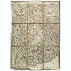
La Principauté de Piémont, les Marquisatsde Saluce et de Sueze, les Comtés de Nice et d'Ast, le Montferrat.
Uncommon folding case map showing the region of Pays de Gex et le Genevois, le Chablais et le Faucigny, la Savoie, la Maurienne et la Tarentaise. Prepared by H.Jaillot an...
Place & Date: Paris, ca. 1780
Selling price: $80
Sold in 2016
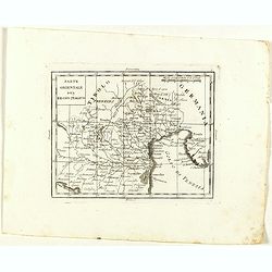
Parte Orientale del Regno Italico.
Rare map of north western Italy with Trieste region and Venice and it's bay, from "Atlante Novissimo ad uso Dei Giovani Studiosi Contenuto In Carte XXVII.", pub...
Place & Date: Rome, 1780
Selling price: $55
Sold in 2022
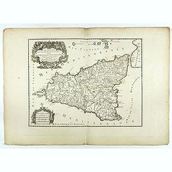
La Sicile divisee en ses trois povinces ou valees. . .
Fine map of Sicily with a decorative title and scale cartouche. The uncommon updated version by Louis Denis, dated 1782.Alexis-Hubert Jaillot (1632-1712), was a French ca...
Place & Date: Paris, 1782
Selling price: $150
Sold in 2022
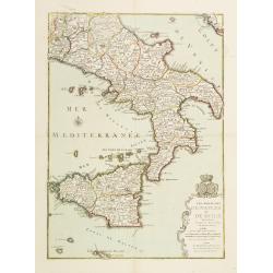
Les Royaumes de Naples et de Sicile.
Un uncommon re-issue by Desnos of this fine map of Italy, including Sardinia and Corsica. Prepared by Sanson and originally published by Jaillot.The map is colored in out...
Place & Date: Paris 1783
Selling price: $229
Sold
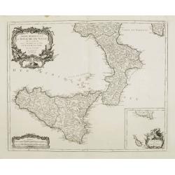
Partie Méridionale du Royaume de Naples où se trouvent la Calabre et l'Isle et Royaume de Sicile.
Finely and crisply engraved map of southern Italy, depicting Sicily and the region Calabria with remarkable topographical detail.Ornated with a large title cartouche and ...
Place & Date: Venice, 1776 - 1784
Selling price: $200
Sold in 2015
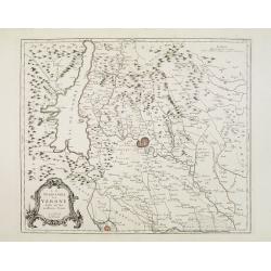
Le Territoire de Verone dressé sur les meilleures Cartes.
Finely and crisply engraved map centered on Verona. Showing lake Garda and Mantua.Large decorative title cartouche in the lower left corner. Relief shown pictorially.
Place & Date: Venice, 1776 - 1784
Selling price: $100
Sold in 2018
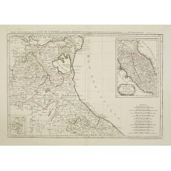
Partie Septentrionale de l'Etat de l'Eglise, contenant les légations de Ferrare, de Bologne, et de Romagne..
Finely and crisply engraved map depicting Romagna and part of Emilia with remarkable topographical detail. Including Remini, Ravenna, Bologna, etc.2 inset maps respective...
Place & Date: Venice, 1776 - 1784
Selling price: $450
Sold







![[Untitled] Front views of the Tyrrhenian coastal relief of Italy.](/uploads/cache/24835-250x250.jpg)
![[Untitled] Front views of the Italian coastal relief.](/uploads/cache/24836-250x250.jpg)



![[III]. Carte de l'Etât de Gênes où se trouvent la Principauté d'Oneille, les enviros d'Albinga, le Marquisat de Finale &c.](/uploads/cache/24546-250x250.jpg)





![[3 Maps] Latium, Italia propria, Magna Graecia Italiae antiquae pars.](/uploads/cache/92133-250x250.jpg)

![Plan de Porto Ferara. [26]](/uploads/cache/12246-250x250.jpg)
