Browse Listings in Europe > Greece > Greek Islands
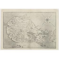
Isle de Crete.
A charming late 17th century map of the Island of Crete. By Allain Manneson Mallet (1630-1706), a well traveled military engineer and geographer who worked in 17th centur...
Place & Date: Frankfurt, 1684
Selling price: $50
Sold in 2008
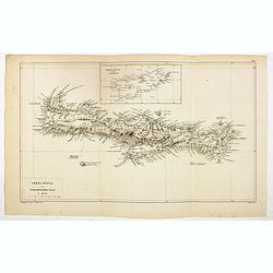
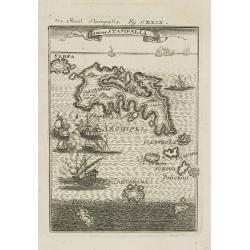
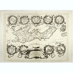
Isle de Stampalia.
A charming late 17th century map of the Stampalia Island. Stampalia is a Greek island which belongs to the Dodecanese, an island group of twelve major islands in the sout...
Place & Date: Frankfurt, 1684
Selling price: $50
Sold in 2011
Arcipelago Mar Egeo con le coste del medesimo...
Giacomo Rossi's fine late 17th century map of the Greek Islands. Issued in Il Mercurio geografico In upper right dedicational cartouche, and in the center a tittle cartou...
Place & Date: Rome, 1685
Selling price: $260
Sold in 2015
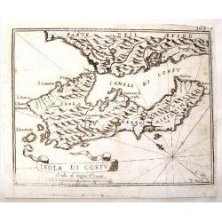
Isola di Corfu.
Little map of the Island of Corfu near Greece by Jan Peeters. From an atlas by Vincenzo Coronelli. It is signed P. Bai. With interesting ribbon title cartouche.
Place & Date: Antwerp, 1687
Selling price: $220
Sold in 2015
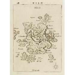
MILO.
Rare map of the island of Milo from Francesco Piacenza's : L'Egeo Redivivo o'sia Chrorographia dell'Arcipelago, e dello stato primiero, & attuale di quell'isole, regn...
Place & Date: Modena, 1688
Selling price: $300
Sold
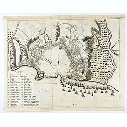
CANDIA
Rare map of the island of Creta from Francesco Piacenza's : L'Egeo Redivivo o'sia Chrorographia dell'Arcipelago, e dello stato primiero, & attuale di quell'isole, reg...
Place & Date: Modena, 1688
Selling price: $445
Sold
Archipelagi Meridionalis; seu Cycladum.
Decorative map showing in Greece the Southern Aegean Islands with its neighbouring regions by Dapper/van Meur. An accurate map with many engraved small islands and place ...
Place & Date: Amsterdam, 1688
Selling price: $160
Sold in 2009
Morea.
Fine map of the Island of Morea. Etched by Gaspar Bouttats (1640-1695).The Antwerp based publisher Jacques Peeters published ca. 1690 a series of prints related to the Ha...
Place & Date: Antwerp, c.1690
Selling price: $300
Sold in 2013
Insula di Candia del Mare Mediteranea.
Magnificent map of Crete. Engraved by Coenraad Lauwers.The Antwerp based publisher Jacques Peeters published ca. 1690 a series of prints related to the Habsburg-Ottoman w...
Place & Date: Antwerp, c.1690
Selling price: $200
Sold in 2014
Candia.
A bird's eye view of the town of Heraklion, in Crete, engraved by Bouttats, G. Showing the siege of the Turks in 1667.
Place & Date: Antwerp, ca. 1690
Selling price: $60
Sold in 2020
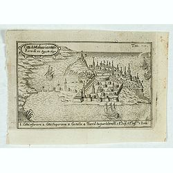
Citta di Malvasia in Mora Reas di 12 Agosto 1690.
Bird's-eye view of the island of Malvasia, nowadays called Monemvasia, with part of the eastern shore of the Peloponnese, showing the island fortress of Monemvasia in Gre...
Place & Date: Italy, after 1690
Selling price: $110
Sold in 2023
La Moree et les Isles de Zante, Cefalonie, Ste Maure, Cerigo.
A large wall size map of Morea, the Southern part of Greece. Printed from two plates, and con-joined. Twelve small city maps and fortification plans surround the title ca...
Place & Date: Paris, 1692
Selling price: $145
Sold in 2016
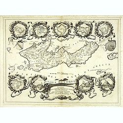
Isola e Regno di Candia. . .
A scarce and very attractive detailed two sheet map of Crete within wide garland of vines incorporating the names of 100 Cretan towns, coat-of-arms of Cardinal d' Estrée...
Place & Date: Venice, 1696
Selling price: $1600
Sold in 2012
Isola di Corfu.
One of the most attractive maps of the island of Corfu ever produced. The central map is surrounded by nine plans and views of fortified locations and the ancient city of...
Place & Date: Venice, 1696
Selling price: $800
Sold in 2014
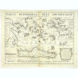
Parte Meridionale deli Archipelago. . .
A scarce and very attractive detailed map of Crete and the Aegean Sea. Forming a set with lot 31826The remarkable Vincenzo Coronelli (1650-1718), encyclopaedist, geograph...
Place & Date: Venice, 1696
Selling price: $450
Sold in 2012
Peloponneso hoggidi Morea. . .
Decorative and highly detailed map of Morea, southern Greece with title cartouche lower left.The remarkable Vincenzo Coronelli (1650-1718), encyclopaedist, geographer, in...
Place & Date: Venice, 1696
Selling price: $450
Sold in 2013
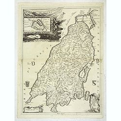
Isola di S. Maura.
A scarce and very attractive detailed map of S. Maura, with a dedication to Matteo Sanudo. With inset map. The remarkable Vincenzo Coronelli (1650-1718), encyclopaedist, ...
Place & Date: Venice, 1696
Selling price: $600
Sold
Peloponneso, hoggidi Morea,. . .
A beautiful and flamboyantly engraved large-scale map of Morea, who was in 1683 invaded by the Venetians. The map carries a dedication to Marcello Sacchetti, ambassador f...
Place & Date: Venice, ca. 1696
Selling price: $500
Sold
Simie, Piscopia, Nisari.
Three maps of Symi, Telos and probably Nisiros in the south Aegean Sea. Large sheet with the three maps and lengthy Italian text about the islands. From Coronelli's famou...
Place & Date: Venice, 1696
Selling price: $80
Sold in 2015
Carchi e Limonia.
Early map of the islands of Halki and Alimia near Rhodes. The map is set on a sheet with italian text, printed on both sides.
Place & Date: Venice, 1696
Selling price: $75
Sold in 2015
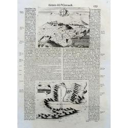
Kefalonia.
Three maps/views of Kefalonia, the largest of the Ionian islands. Includes a view of a hillside town labeled 'Cefalonia', map of the harbor of 'Argostoli', and a plan of ...
Place & Date: Venice, 1696
Selling price: $40
Sold in 2017
Isola di Corfu.
One of the most attractive maps of the island of Corfu ever produced. The central map is surrounded by nine plans and views of fortified locations and the ancient city of...
Place & Date: Venice, 1696
Selling price: $500
Sold in 2019
[Isola e Regno di Candia. . .only right hand side of this two sheet map]
The right hand side of this very attractive detailed two sheet map of Crete within wide garland of vines incorporating the names of 100 Cretan towns, coat-of-arms of Card...
Place & Date: Venice, 1696
Selling price: $170
Sold in 2017
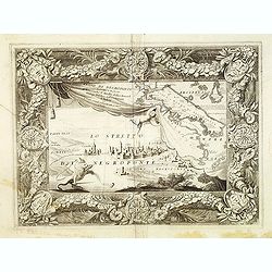
Regno di Negroponte Descritto e Dedicato al Reverendismo. P. Maestro Felice Rotondi . . .ok
A beautiful and flamboyantly engraved large-scale view of Chalkida (Halkida) with in the top right corner an inset map of the island of Evia. With a wide decorative flora...
Place & Date: Venice, 1696
Selling price: $150
Sold in 2021
Regno di Negroponte Descritto e Dedicato al Reverendismo. P. Maestro Felice Rotondi . . .
A beautiful and flamboyantly engraved large-scale view of Chalkida (Halkida) with in the top right corner an inset map of the island of Evia. With a wide decorative flora...
Place & Date: Venice, 1698
Selling price: $152
Sold in 2012
De Nieuwe Stadt / De Oude Stadt Candia.
Rare plan of the town of Candia. With extensive shipping on foreground and Turkish troops sieging the town.The Siege of Candia (Heraklion, Crete) (1648-1669) was possibly...
Place & Date: Netherlands c.1700
Selling price: $200
Sold
Insularum Archipelagi septentrionalis.
Aegean Islands (North)
Place & Date: Amsterdam, 1703
Selling price: $100
Sold in 2010
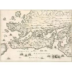
Negroponte.
Penisolur of Negroponte.
Place & Date: Amsterdam, 1703
Selling price: $150
Sold in 2010
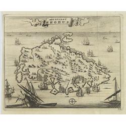
Het Eylant Rhodus.
Pieter van der Aa was a prolific publisher. He published a.o. "Naaukeurige versameling der gedenkwaardigste zee- en land-reysen", a series of accounts of voyage...
Place & Date: Leiden, 1707
Selling price: $80
Sold in 2017
Paskaart Van de Archipelagusche Eylanden..
This sea chart represents the Northern Aegean Islands. It contains an enlarged inset map of the eastern coast of the Chios island as well as one of the gulf of Smyrna, in...
Place & Date: Amsterdam, 1708
Selling price: $1000
Sold
Isle et Royaume de Candie.
Uncommon small map of Crete displaying precise engraving and a flourishing, banner-style cartouche.From Le Nouveau et Curieux Atlas Geographique et Historique.. by Jacque...
Place & Date: Paris, 1719
Selling price: $100
Sold in 2012
Isle et Royaume de Candie.
Uncommon small map of Crete displaying precise engraving and a flourishing, banner-style cartouche.From Le Nouveau et Curieux Atlas Geographique et Historique.. by Jacque...
Place & Date: Paris, 1719
Selling price: $150
Sold in 2014
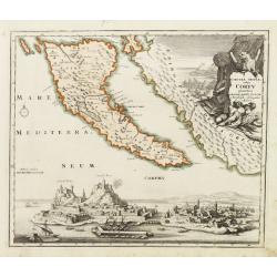
Corcyrae insulae, vulgo Corfv planities unacum parte Greciae ..
Corfu with part of the coastline of Greece, large battle-scene title vignette upper right, and panoramic view of Corfu harbour and fortress across the lower portion of th...
Place & Date: Nuremberg 1720
Selling price: $550
Sold
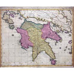
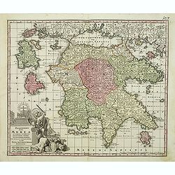
Regnum Moreae accuratissime divisum in Provincias Saccaniam, Tzaconiam, Caliscopium et Ducatum Clarensae, una cum Insulis Cephalonia, Zacyntho, Cythera, Aegina et Sidra
Uncommon map of Greece, by Gerardus Valk and Leonardus Valk in old colors.
Place & Date: Amsterdam, circa 1720
Selling price: $170
Sold in 2017
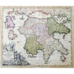
Peloponesus hodie Moreae Regnum...
Large scale map of the Peloponnese, the mainland in the north, and surrounding islands, including Zakynthos and Cephalonia. Shows many details and names, also some notes ...
Place & Date: Nuremberg, ca. 1720
Selling price: $70
Sold in 2019
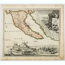
Corcyrae Insula, vulgo Corfu planities unacum parte Greciae.
A scarce map of Greece’s most northerly island, originally drawn by Christoph Weigel, well known as one of the 18th century’s most prolific map makers. To the right o...
Place & Date: Nurnberg, ca 1720
Selling price: $150
Sold in 2021
Peloponnesus hodie Morea.
Decorative regional map of Morea and contiguous islands.
Place & Date: Leiden 1729
Selling price: $100
Sold
Het Eylant Rhodus.
An attractive bird's eye-view of the island of Rhodes. Pieter van der Aa was a prolific publisher. He published a.o. "Naaukeurige versameling der gedenkwaardigste ze...
Place & Date: Leiden, 1729
Selling price: $30
Sold in 2009
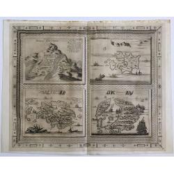
Bergh Cinthus ; Sara ; Eylant Cerigo ; Santorini
A beautiful copper engraving by Van Der Aa of 4 Greek islands, all with a very nicely designed border.
Place & Date: 1729
Selling price: $55
Sold in 2016
Peloponnesus Hodie Morea Ad Normam Veterum Et Recentiorum Mappa Accuratissime Adornata Aeri Incisa Et Venalis. . .
Decorative regional map of Morea and contiguous islands, with an ornate cartouche showing a lion bearing a sword defeating Turkish and other invaders.Matthaus Seutter the...
Place & Date: Augsburg, 1730
Selling price: $125
Sold in 2018
Peloponnesus Hodie Morea Ad Normam Veterum Et Recentiorum Mappa Accuratissime Adornata Aeri Incisa Et Venalis. . .
Decorative regional map of Morea and contiguous islands, with an ornate cartouche showing a lion bearing a sword defeating Turkish and other invaders.
Place & Date: Augsburg, 1740
Selling price: $210
Sold in 2013
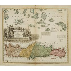
Insula Creta nunc Candia. . .
One of the most spectacular maps of Crete, divided into its four territories, and the islands to its north. The lower part is filled with a bird's-eye view of the city of...
Place & Date: Augsburg, 1741
Selling price: $980
Sold in 2011
A Chart of the South part of Cephalonia, with the Islands of Zante and the Coast of Morea ... [on sheet with] A Chart of the South Coast of Morea from Venetica to CS. Angelo
This two part sea chart features the island of Zante and Cephanolia on the left side, and Serigo to Candia (Crete) on the right. Engraved by 'J[oel] Gas[coyne]' this plat...
Place & Date: 1747
Selling price: $100
Sold in 2016
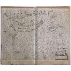
A Chart of the Islands Corfu, Pachsu and Antipachsu with ye Channel and Roads between the Island of Corfu & ye Graetian Coast
A superb rare sea chart with rhumb lines of Corfu and nearby coastlines. The main town and castle in Corfu is clearly outlined. It is engraved by 'J[oel] Gascoyne' and wa...
Place & Date: 1747
Selling price: $100
Sold in 2016
Insula Creta hodie Candia.
Johann Baptist Homann's well-engraved map has a large decorative cartouche. Detailed map of Crete.Johann Baptist Homann (1663-1724) was a German engraver and publisher, w...
Place & Date: Nuremberg 1749
Selling price: $425
Sold
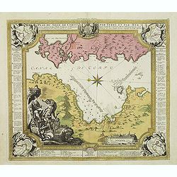
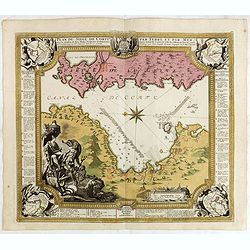
Plan du siege de Corfu par Terre et par Mer.
Uncommon map of the western coast of Corfu, including the town of Kérkira and its siege on July 5th, 1716. Upper part the coast of the Greek province of Sarande. Well-en...
Place & Date: Nuremberg, 1753
Selling price: $900
Sold in 2010
Plan du siege de Corfu par Terre et par Mer.
Uncommon map of the western coast of Corfu, including the town of Kérkira and its siege on July 5th, 1716. Upper part the coast of the Greek province of Sarande. Well-en...
Place & Date: Nuremberg, 1753
Selling price: $225
Sold in 2013
Plan du siege de Corfu par Terre et par Mer.
Uncommon map of the western coast of Corfu, including the town of Kérkira and its siege on July 5th, 1716. Upper part the coast of the Greek province of Sarande. Well-en...
Place & Date: Nuremberg, 1753
Selling price: $350
Sold in 2021
Plan de la place de Corfu avec ses environs. . .
Uncommon map of the town of Kérkira and its siege in 1716, on the island of Corfu. Johann Baptist Homann's well-engraved map has a large decorative cartouche and in each...
Place & Date: Nuremberg 1753
Selling price: $325
Sold in 2023
Graeciae Antiquae Specimen Geographicum.
Decorative map of Ancient Greece, with a large, decorative, Rococo, title cartouche. With an inset depicting northern Greece. Jean Baptiste d'Anville (1697-1782) born in...
Place & Date: Paris, 1762
Selling price: $125
Sold in 2013
I. Metelin. [53]
Charming chart of the island of Metelin. Showing town and harbour plans, with soundings, anchorages, rocks, shoals, fortifications, lighthouses.Joseph Roux (1725-1793) wa...
Place & Date: Marseille, 1764
Selling price: $90
Sold in 2018
XII Feuille. (Chart of northern part of Greece with Thessaloniki)
Detail of a larger chart of Northern part of Greece, prepared by Bellin and published by J. Roux. The left half of chart XII from Joseph Roux's Carte de La Mer Meriterane...
Place & Date: Marseille, 1764
Selling price: $110
Sold in 2013
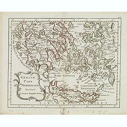
Graeciae pars meridionalis auctore. . .
Rare map of Greece and the most western coastline of Turkey, prepared by Nolin and published by L.J. Mondhare for his Atlas Général a l'usage des colleges et maisons d'...
Place & Date: Paris, 1781
Selling price: $45
Sold in 2017
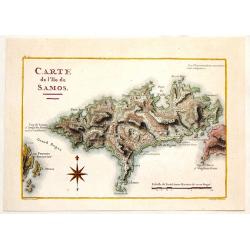
Carte de L\'Ile de Samos.
Fine copper engraved, hand-colored map of the Island of Samos in the Greek Islands. Marie-Gabriel-Florent-Auguste de Choiseul-Gouffier (1752-1817) was a member of the A...
Place & Date: Paris, 1782
Selling price: $76
Sold in 2014
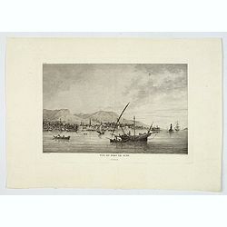
Vue du Port de Scio.
A delightful copperplate view of the port of the Greek island of Chios. It shows fishermen on their boats in the foreground, and the town and surrounding hills in the bac...
Place & Date: Paris, 1782
Selling price: $22
Sold in 2019
Graeciae Pars Meridionalis. . .
Rare map of Greece prepared by J.B.Nolin and published by Monhare for his Atlas Général a l'usage des colleges et maisons d'education.. Louis Joseph Mondhare was active...
Place & Date: Paris, 1783
Selling price: $150
Sold in 2008
Graeciae Pars Septentrionalis?
Rare map of northern part of Greece, prepared by J.B.Nolin and published by Monhare for his Atlas Général a l'usage des colleges et maisons d'education.. Louis Joseph M...
Place & Date: Paris, 1783
Selling price: $275
Sold in 2008
Greece, Archipelago and Part of Anadoli by L.S. De La Rochette
A large folio engraved map of Greece and part of Turkey. Engraved by William Palmer. Showing the Peloponnese, Central Greece, southern part of Albania, Constantinople in ...
Place & Date: London, 1791
Selling price: $140
Sold in 2016
Les Cyclades. . .
A map of Greek islands called the Cyclades in the Aegean Sea. The map extends from Athens to Anafe. Including Andros, Mikonos, Naxos, Ios, Milos, Santorini. An inset map ...
Place & Date: Paris, 1791
Selling price: $16
Sold in 2019
Creta Insula sec. Stadiasmum Maris Magni.
Delicate map of ancient Crete, according to the "Stadiasmus Maris Magni", prepared by Karl Wilhelm Ludwig Muller (1813-1894) and published in "Geographi Gr...
Place & Date: Paris, Ambrosio Firmin Didot, 1855
Selling price: $30
Sold in 2017
Rodi. Rhodes. Rhodos
Pictorial map of Rhodes, the island of the sun or rose island in Greece. Signed by Egon Huber Rodi 1935 on lower right. On upper right: Rodi, Rhodes, Rhodos, Rhodus. Show...
Place & Date: Italty, 1935
Selling price: $100
Sold in 2021
Creta Candia
Unique manuscript map of Crete. Award-winning manuscript card, prepared by Antonio Raggio for the 11th Congreso de la Union Postal Universal (World Postal Congress) Expos...
Place & Date: Buenos Aires, 1939
Selling price: $250
Sold in 2023
Mandria, Fornoli, Lipso and Cruscia /.(verso) Lango.
Benedetto Bordone (1460-1531), cartographer and engraver. Published in 1528 his islands book, 'Isolario'.Two woodcut maps from Bernadetto Bordone?s ?Isolario?.
Place & Date: Venice, 1532.
Selling price: $140
Sold
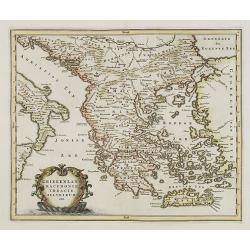
GREECE.
Map of Greece. Macedonia, western coast of Turkey and part of Italy. Cartouche in the left hand bottom with titles. From the book "History of the Jews" by Humph...
Place & Date: The netherlands 18th. century.
Selling price: $360
Sold in 2008









![[Isola e Regno di Candia. . .only right hand side of this two sheet map]](/uploads/cache/40771-250x250.jpg)








![A Chart of the South part of Cephalonia, with the Islands of Zante and the Coast of Morea ... [on sheet with] A Chart of the South Coast of Morea from Venetica to CS. Angelo](/uploads/cache/97451-250x250.jpg)



![I. Metelin. [53]](/uploads/cache/12273-250x250.jpg)

