Browse Listings in Europe > Greece > Greece General
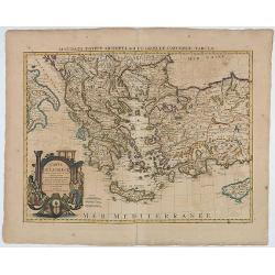
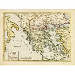
Carte de la Grece.(Accurata Totius Archipelagi et Greciae ...
The map was originally issued by G.de L'Isle.
Place & Date: Amsterdam, 1740
Selling price: $90
Sold in 2020
La Grecia Propriamenete Detta per la Storia Romana.
A superb map of the region of present-day Greece. The map which shows Greece under rule by the Roman Empire is well engraved with excellent detail in D'Anville's simple, ...
Place & Date: Paris, 1742
Selling price: $27
Sold in 2021
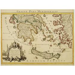
Graeciae Pars Meridionalis..
Very decorative map illustrating the southern part of Greece and a small part of Turkey. It represents the Aegean Islands and Crete as well as some islands in the Ionian ...
Place & Date: Amsterdam c. 1745
Selling price: $200
Sold
Carte de la Grece dressée sur un grand nombre de memoires..
Detailed copper-engraved map of Greece with its neighbouring countries, including southern Italy and part of Cyprus. Relief shown pictorially. With large decorative title...
Place & Date: Amsterdam c. 1745
Selling price: $355
Sold
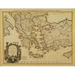
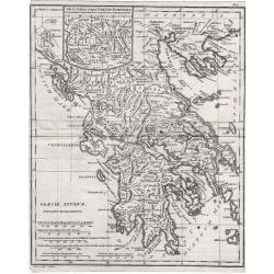
Graeciae Antiquae Tabula Nova . . .
Finely detailed map of Greece, Crete and the southeastern coast of Asia Minor based on a 1707 map by de L'Isle, and later republished by Buache in 1745. Cities, villages,...
Place & Date: Paris, 1745
Selling price: $110
Sold in 2010
A new & accurate map of Turkey in Europe with the adjacent countries. . .
An excellent mid 18th century map of Greece, including Albania, Macedonia, Romania, Bulgaria, Serbia, Croatia, Hungary etc. the Black Sea and part of Turkey. An early imp...
Place & Date: London, 1747
Selling price: $200
Sold in 2023
Carte de la Turquie d\'Europe des Isles de la Grece et de l\'Archipel.
Small detailed map encompassing the area between the Adriatic Sea and the Black Sea. Centered on Greece.From Atlas Portatif Universel, by Robert de Vaugondy. Page 63 and ...
Place & Date: Paris, later than 1748
Selling price: $120
Sold in 2008
Carte de l'Ancienne Grece ..
Uncommon map of ancient Greece. For Introduction à l'Histoire Universelle du Baron de Puffendorf.
Place & Date: Paris c.1750
Selling price: $90
Sold
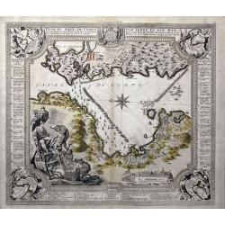
Plan du siege de Corfu par Terre et par Mer...
This uncommon map depicts the western coast of Corfu, including Kérkira at the time of the siege on July 5th, 1716 against the Turkish marine. Part the Greek coast (prov...
Place & Date: Nuremberg, 1750
Selling price: $400
Sold in 2015
Carte pour servir a l'intelligence de l'histoire Grecque.
Scarce small map of Greece based on cartography of Guillaume Delisle. Published in "Nouveau traité de geographie par M**** ", published by La veuve Lottin &...
Place & Date: Paris, 1752
Selling price: $25
Sold in 2020
Neue Vorstellung der Insel Creta. . .
A rare map of the Aegean Sea and its islands. From Chalkidiki until Crete. With parts of the Greek and Turkish coats.After Anville, engraved by Reinhardt, published by th...
Place & Date: Frankfurt & Leipzig, 1753
Selling price: $100
Sold in 2017
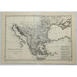
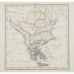
Turquie Européenne.
A beautiful map of Greece, with the coast of Turkey from De Vaugondy’s 1752 Atlas Universal. Depicts the whole of Greece from Bosnia and Croatia east to through Bulgari...
Place & Date: Paris, 1755
Selling price: $50
Sold in 2011
Pannonia Moesia Illyricum & Thracia.
Pannonia Moesia Illyricum & Thracia by Christoph Cellarius c1755 from his Geographia Antiqua. Highly detailed map of ancient Greece.
Place & Date: Leipzig, 1755
Selling price: $40
Sold in 2014
Turquie Européenne.
A beautiful map of Greece, with the coast of Turkey from De Vaugondy’s 1752 Atlas Universal. Depicts the whole of Greece from Bosnia and Croatia east to through Bulgari...
Place & Date: Paris, 1755
Selling price: $105
Sold in 2013
La Grece.
Fine map of Greece. George Louis Le Rouge was active from 1740- till 1780 as a publisher, and was appointed engineer for the King of France. From his Atlas Nouveau Portat...
Place & Date: Paris 1756
Selling price: $85
Sold
Oud Griekenland zo als 't eerste in Koninkrijken..
Very unusual map of ancient Greece. In upper left margin V. Deel Bladz.275.
Place & Date: Utrecht c.1757
Selling price: $105
Sold
Graecia Vetus ex schardis Sansonianis desumpta. . .
Decorative map of ancient Greece and neighboring Islands in the Ionian and Aegean Seas, with a large decorative cartouche. Also shows a fair amount of Turkish Asia, along...
Place & Date: Paris, 1757
Selling price: $50
Sold in 2012
Graecia Vetus ex schardis Sansonianis desumpta. . .
Decorative map of ancient Greece and neighboring Islands in the Ionian and Aegean Seas, with a large decorative cartouche. Also shows a fair amount of Turkish Asia, along...
Place & Date: Paris, 1757
Selling price: $65
Sold in 2012
Graecia Nova et Mare Aegeum l'Archipelagus .. Morea..
An attractive map of Greece, with a beautiful title cartouche, and an explanation table and mileage scales filling the lower corners of the map.T.C. Lotter married M. Seu...
Place & Date: Augsburg, 1760
Selling price: $181
Sold in 2017
[Lot of 6 maps of Italy]
Claude Buy de Mornas (dl 1783), géographe du roi (1764). Atlas Méthodique et Elémentaire de Géographie et d' Histoire, 1761, Atlas Historique et Géographique, 1762.�...
Place & Date: c. 1760
Selling price: $200
Sold in 2022
Hongrie, Turquie Europ?
General map of Greece. From Gilles Robert de Vaugondy's Nouvel Atlas Portatif.
Place & Date: Paris, 1762
Selling price: $60
Sold in 2011
Suite de L'Histore d'Athens Depuis L'An 3573 Jusqu'a L'An 3581.
Striking map of ancient Athens featuring the territory including current Italy and Greece, north of the Mediterranean Sea. The text in the sides of the map describe the h...
Place & Date: Paris, 1762
Selling price: $85
Sold in 2015
Turky in Europe.
Uncommon miniature map of Greece with the western most coast of Turkey, engraved by Thomas Kitching for "A New General and Universal Atlas Containing Forty five Maps...
Place & Date: London, 1761-1763
Selling price: $30
Sold in 2017
Turquie Europeenne.
Louis Brion de la Tour (1756-1823), ' Atlas Géneral, Civil et Ecclésiastique', 1766, ' Atlas Général', 1790-98. Louis Charles Desnos (fl.1750-70), Le Rouge's 'Atlas N...
Place & Date: Paris, 1766
Selling price: $90
Sold in 2017
Turquie Européenne avec les états qui en sont tributaires.
Louis Brion de la Tour (1756-1823), ' Atlas Géneral, Civil et Ecclésiastique', 1766, ' Atlas Général', 1790-98. Louis Charles Desnos (fl.1750-70), Le Rouge's 'Atlas N...
Place & Date: Paris, 1769
Selling price: $125
Sold
Carte de la Grece dressée sur un grand nombre de memoires..
Detailed copper-engraved map of Greece with its neighboring countries, including southern Italy and part of Cyprus. Relief shown pictorially. With large decorative title ...
Place & Date: Paris, 1780
Selling price: $200
Sold in 2009
Partie de Turquie en Europe.
Nicolas Sanson (1600-67), ' father of the French cartography' and founder of the Sanson firm. Atlas ' Cartes générales de toutes les parties du Monde', 1658-70 and a po...
Place & Date: Paris, c. 1780
Selling price: $135
Sold
Bottom Part Only of Huge Map centering on Greece.
A large bottom portion of a huge map centering on Greece. The original map was about 41" x 32".This section covers the area between Libya and Iraq on the south ...
Place & Date: Anon, ca. 1780
Selling price: $55
Sold in 2017
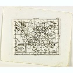
Grecia Antica e Moderna.
Rare map of Greece, from "Atlante Novissimo ad uso Dei Giovani Studiosi Contenuto In Carte XXVII.", published by Giovanni Zempel in Rome, ca. 1780.The map is ba...
Place & Date: Rome, 1780
Selling price: $55
Sold in 2020
Orbis Romani Pars Orientalis. . .
Unusual map of Ancient Turkey, including a curiously shaped Cyprus, prepared by Nolin and published by L.J. Mondhare for his Atlas Général a l'usage des colleges et mai...
Place & Date: Paris, 1781
Selling price: $80
Sold in 2023
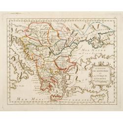
Le Royaume de Hongrie et la Turquie d'Europe ..
Rare map of Greece and Hungary prepared by J.B.Nolin and published by Monhare for his Atlas Général a l'usage des colleges et maisons d'education.. Louis Joseph Mondhar...
Place & Date: Paris, 1783
Selling price: $185
Sold
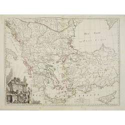
Turquie d'Europe et partie de celle d'Asie..
Attractive map centered on the Aegean Sea, encompassing the whole Balkan Peninsula and part of Turkey.It includes also Crete and Cyprus. Decorated with a decorative title...
Place & Date: Paris, ca 1783
Selling price: $70
Sold in 2011
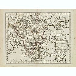
Le Royaume de Hongrie et la Turquie d'Europe. . .
Scarce map of Greece, Romania, Bulgaria and Hungary prepared by Nolin and published by L.J. Mondhare for his Atlas Général a l'usage des colleges et maisons d'education...
Place & Date: Paris, 1783
Selling price: $50
Sold in 2017
Turquie d'Europe et partie de celle d'Asie divisee. . .
An attractive map centered on the Aegean Sea, encompassing the whole Balkan Peninsula and part of Turkey.It includes also Crete and Cyprus. Decorated with a pretty title ...
Place & Date: Paris, ca 1783
Selling price: $27
Sold in 2021
Turquie d'Europe..
Detailed map encompassing present day Greece and part of Turkey. In the lower right corner a large depiction of Cyprus. Venetian edition of the map by Bellin, to whom San...
Place & Date: Venice, 1776 - 1784
Selling price: $250
Sold in 2008
Turquie d'Europe..
Detailed map encompassing present day Greece and part of Turkey. In the lower right corner a large depiction of Cyprus. With ornamental title cartouche and noteworthy top...
Place & Date: Venice, 1776 - 1784
Selling price: $150
Sold in 2018
Graecia Antiqua.
A detailed map of Ancient Greece and contiguous Islands and countries. Issued as part of Zatta's Atlante Novissimo. Inset of northern Greece. Pretty title cartouche.
Place & Date: Venice, 1785
Selling price: $50
Sold in 2019
ALEXANDER THE GREAT, Imperium ALEXANDRI MAGNI Per Europam, Asiam, et Africam.
A detailed map of the Empire of Alexander the Great, extending from Asia Minor and Greece to the regions around the Black Sea and Capian Sea, reaching the Indus River in ...
Place & Date: Venice, 1785
Selling price: $120
Sold in 2022
Turquie D'Europe.
A fine, detailed, antique map of Greece, by Bonne, published in the 1787 “Atlas Encyclopedique”.Rigobert Bonne (1727–1794) was one of the most important cartographe...
Place & Date: Paris, 1787
Selling price: $17
Sold in 2018
La Turchia d. Europa.
A small map depicting Greece and the Balkan, from the Italian edition of Claude Buffier's ' Geographie Universelle'.
Place & Date: Venice, 1790
Selling price: $50
Sold
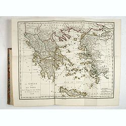
Recueil de Cartes Geographiques, Plans, Vues et Medailles de L'Ancienne Grece, Relatifs Au Voyage du Jeune Anacharsis, Precede d'une Analyse Critique des Cartes.
Great atlas of Ancient Greece, including many classical maps and battle plans. 31 copper engraved maps plans and plates with several hand colored in outline, many double ...
Place & Date: Paris, 1790
Selling price: $241
Sold in 2017
A Correct Map of Ancient Greece.
A striking, highly detailed copper engraved map of Greece in ancient times. The map provides good topographic details. An inset map of north-eastern Sicily, Italy, adorns...
Place & Date: London, 1790
Selling price: $30
Sold in 2019
Greece. Archipelago and Part of Anadoli. By L.S. de la Rochette. MDCCXC. London, Published for Willm. Faden, Geographer to the King. January 1st. 1791
Large Folio engraved map of Greece and Western part of Turkey from W. Faden, engraved by William Palmer. Showing the Peloponnese, Central Greece, southern part of Albania...
Place & Date: London, 1791
Selling price: $180
Sold in 2009
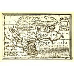
Turky in Europe.
Uncommon miniature map from Gibson's "Atlas Minimus, or a New Set of Pocket Maps of the several Empires, Kingdoms and States of the known World".
Place & Date: London, 1792
Selling price: $55
Sold in 2011
Graeciae Antiquae.
Graeciae Antiquae 1795 by Samuel John Neele. Published May 10th 1795 by Cadell & Davies of the Strand London.Highly detailed small map.
Place & Date: London, 1795
Selling price: $50
Sold in 2012
Griechenland, der Archipelagus, Albanien, Macedonien, Romanien und ein Theil von Anadoli: nach De la Rochette, Le Clerc etc ... Schneider & Weigel, 1796.
Nice map of Greece, Albania, Macedonia and Romania by Weigel.
Place & Date: Augsburg, 1796
Selling price: $170
Sold in 2019
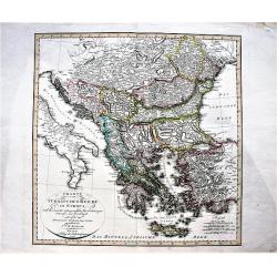
Charte vom Türkischen Reiche in Europa / nach den neuesten astronomischen Ortsbestimmungen entworfen. . .
A large, decorative map of central and south Europa showing the possessions of the Ottoman Empire in Europe in the year 1800.
Place & Date: Weimar, 1800
Selling price: $140
Sold in 2019
Le Royaume de Hongrie et la Turquie d'Europe.
Map of south eastern Europe centered on Greece and the Aegean Sea. From Atlas de la Géographie de toutes les parties du monde .. Ouvrage destiné pour l'education, et n�...
Place & Date: Paris, Prudhomme, Levrault, Debray, 1806
Selling price: $30
Sold in 2020
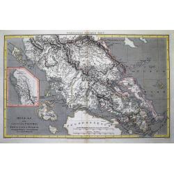
Hellas sive Graecia propria Thessalia et Epirus...
Interesting map showing a part of Greece during ancient times, extending from Kefalonia and Zakynthos (Zante) Island to Nisos Evvoia. Includes Korfu, parts of Macedonia, ...
Place & Date: London, 1807
Selling price: $2
Sold in 2012
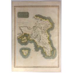
Attica.
This is an attractive 1814 John Thomson map of Attica, Greece. The map features many of the important cities and sites in early Greek History. It shows Athens, the Plain ...
Place & Date: Edinburgh, 1815
Selling price: $25
Sold in 2017
Attica.
An attractive map of Attica, in Greece. It features many of the important cities from early Greek History including: Athens, the Plain of Marathon, Salamis, and the islan...
Place & Date: Edinburgh, 1816
Selling price: $35
Sold in 2016
General Charte von der Europaischem Türkey
Nice map of Greece, Albania, etc by Johannes Walch.Johann Walch (1757-1824) was cartographer and map publisher active in Augsburg, he was the son-in-law of Johann Martin ...
Place & Date: Augsburg, 1820
Selling price: $175
Sold in 2019
South Part of Turkey in Europe.
A map of Greece, showing Crete, Albania and Turkey. It was drawn & engraved for Thomson's "NEW GENERAL ATLAS" in Edinburgh in 1821.
Place & Date: Edinburgh, 1821
Selling price: $20
Sold in 2016
L'ungheria e la turchia Europea. . .
Charming map of Hungary, Macedonia, Bulgaria and Greece from the rare atlas Atlante Tascabile o sia Serie di Num. XXI Cartine Geografiche nelle quali si rappresenta in ri...
Place & Date: Rome, 1823
Selling price: $75
Sold in 2011
Carte Générale de la Turquie d'Europe et de la Grèce. . .
Map of Greece, including the regions of Romania, Bulgaria, Bosnia, Servia and part of the Black Sea with the western part of Turkey including Constantinople. Published a...
Place & Date: Paris, 1827
Selling price: $60
Sold in 2011
Grecia Antiqua . . .
Detailed map of Ancient Greece, prepared by A. H. Basset, rue Saint-Jacques, no. 64, Paris and published in Atlas classique et Universel de Géographie . . . .The engrave...
Place & Date: Paris, A.H. Basset, 1828
Selling price: $13
Sold in 2022
Turkey in Europe, Greece & the Ionian Islands.
A scarce and a highly detailed map of Turkey and Greece. Includes the Balkans, Cyprus, Crimea and the Black Sea. An attractive example.
Place & Date: Edinburgh, ca 1835
Selling price: $35
Sold in 2020
Turquie d' Europe. (Greece)
Detailed map of Greece.From Malte-Brun's Atlas Géographie Universelle.. ., revised by Jean Jacques Nicolas Huot.This very fine executed map has been printed by Fosset an...
Place & Date: Paris, 1837
Selling price: $16
Sold in 2013
Turkey in Europe.
A large steel engraved map of Turkey in Europe, stretching from Croatia and Bosnia in the west across to the countries bordering the Black sea, southwards through mainlan...
Place & Date: London, 1839
Selling price: $120
Sold in 2020
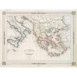
La Grèce et ses colonies.
Detailed map of Greece, prepared by Charles V. Monin (fl.1830-1880) a French cartographer of Caen and Paris. Published in Atlas Universel de Géographie Ancienne &c M...
Place & Date: Paris, 1845
Selling price: $20
Sold in 2020
La Gréce et ses colonies.
Decorative map of Greece after A.H.Dufour, prepared by J.G.Barbié du Bocage.Engraved by Ch.Smith, published by Basset who was established in Paris, rue de Seine 33. From...
Place & Date: Paris 1846
Selling price: $10
Sold
PALICAR. (Iles de l'archipel grec). Costumes Syriens 8.
A beautiful hand colored lithograph of a Palicar published in the French work "Galerie Royale de Costumes peints d´après nature par divers artistes et lithographi�...
Place & Date: Paris, Chez Aubert & Cie., 1842-1848
Selling price: $250
Sold in 2017
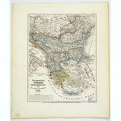
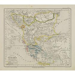
Europaeische Turkey, Griechenland und die Ionischen Inseln.
A steel-engraved outline hand color map Turkey in Europe, color-coded by region, with an explanation box lower right corner. An interesting historical map showing the reg...
Place & Date: Hildburghausen, 1850
Selling price: $17
Sold in 2021
Ionian Islands and Greece.
This is John Tallis’ pretty map of the Ionian Islands and Greece. The map is surrounded by a five delicate steel engraved vignettes, and the whole is surrounded by a de...
Place & Date: London, 1851
Selling price: $20
Sold in 2018
Scylacis Periplus. . .
Delicate map of ancient Greece and the West coast of Turkey according to the "Stadiasmus Maris Magni", prepared by Karl Wilhelm Ludwig Muller (1813-1894) and pu...
Place & Date: Paris, Ambrosio Firmin Didot, 1855
Selling price: $10
Sold in 2017
Das Königreich Hellas oder Griechenland und die Republik der sieben Ionischen Inseln (Ephtánisos).
Large and highly detailed map extending from Corfu to Santorini. With Peloponnese, Euboia, Mykonos, Kythira, Zakynthos, and many others. Includes two inset maps of Athens...
Place & Date: Weimar, 1858
Selling price: $15
Sold in 2017
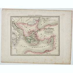
Bacino del Mediterraneo ( Parte orientale) . . .
Uncommon map with the Mediterranean Sea, centered on Greece. With a key to tracks of different streamline routes, prepared by Francesco Costantino Marmocchi. Above the ma...
Place & Date: Genova, Paolo Rivara fu Giacomo, 1858
Selling price: $15
Sold in 2021
Europish Turkije, Griekenland Jonische Eilander.
Uncommon map of Greece, Lithography by J.H. van Weijer, published in Atlas der geheele Aarde in 24 kaarten. With colored key to processions.
Place & Date: Groningen, ca. 1860
Selling price: $40
Sold in 2012
Nouvelle carte Illustrée Turquie d'Europe et de la Grèce . . .
A most decorative mid 19th century map, in upper and lower part 12 vignettes giving a wealth of statistic and commercial information. With a color key . Beside Greeve the...
Place & Date: Paris, Fatout, 1860
Selling price: $350
Sold in 2010
Turquie d'Europe.
Map of Greece, including Serbia, Bulgaria, Albania, Bosnia.
Place & Date: France, ca. 1860
Selling price: $35
Sold in 2015
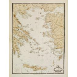
Carte Generale de L'Archipel.
Very detailed map from Atlas Sphéroïdal & Universel de géographie. Prepared by F.A.Garnier and edited by Jules Renouard, rue de Tournon, Paris. Uncommon map with d...
Place & Date: Paris, 1861
Selling price: $55
Sold in 2022
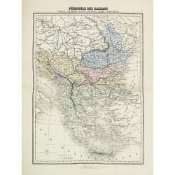
Pèninsule des Balkans.
Decorative map of the Balkan from Géographie Universelle, Atlas Migeon. published by J. Migeon. From one of the last decorative atlases published in the 19th century.
Place & Date: Paris, 1874
Selling price: $10
Sold in 2017
Caligula's Palace and Bridge.
Fine hand-colored steel engraving by E. Goodall from a painting by the renowned J.M.W. Turner. It was published in 1875 by Appleton in New York. The engraving features &...
Place & Date: New York, 1875
Selling price: $15
Sold in 2015
Map of Turkey in Europe. Illustrating the Berlin CongressTtreaty, July 1878.
An unusual map of Turkey, Greece, the Balkans, Austria and a part of the Ukraine, illustrating the nations created under the Berlin Congress Treaty, as well as the lands ...
Place & Date: Philadelphia, 1878
Selling price: $50
Sold in 2021
[Greece].
A detailed map of Greece published by the very successful St. Petersburg publisher "Cartographic institution A.Ilina".Alexey Afinogenovich Ilyin was a lieutenan...
Place & Date: St. Petersburg, 1899
Selling price: $25
Sold in 2020
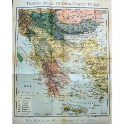
Teatro della guerra Greco-Turca.
Unusual map of South-East Europe with Greece, Romania, Bulgaria, and parts of Turkey. Coloring indicates the countries during the The Greco-Turkish War of 1919–1922. Pu...
Place & Date: Milan, c. 1925
Selling price: $100
Sold in 2017
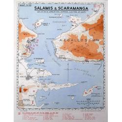
Salamis & Scaramanga.
A "Secret" map was printed by the South African Survey Co, in December 1941, after the German invasion of Greece. Shows a portion of the Saronic Gulf with the S...
Place & Date: South Africa, 1941
Selling price: $70
Sold in 2016
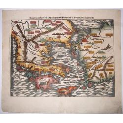
Neuw Griechenlandt, mit andern. . .
A nice full color example of Münster's first map of modern Greece, from Munster's 'Cosmographia', one of the most influential geographical works of the 16th century. Dat...
Place & Date: Basel, ca 1550
Selling price: $200
Sold in 2020
Argonautica.
A very nice map of Greece. Very decorative title cartouche centred in the upper part of the map. Three inset maps in upper left-hand corner and lower-right-hand corner, i...
Place & Date: Antwerp 1603-1618.
Selling price: $440
Sold
Graecia Antiquae Tabula Nova / Pars Meridionalis.
Guillaume de l' Isle (1675-1724), Royal Geographer, was the most influential cartographer of the first quarter of the 18th century. ' Atlas de Géographie' (1700-12), pos...
Place & Date: Paris, 1707.
Selling price: $360
Sold





![[Lot of 6 maps of Italy]](/uploads/cache/20941-(1)-250x250.jpg)






















![[Greece].](/uploads/cache/46170-250x250.jpg)
