Browse Listings in Europe > Germany > German Provinces
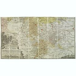
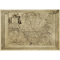
Neu vermehrte post charte der chur Braunschweigischen und angrenzenden lande. . . Von Friedrich Wilhelm Ohsen, ... privatim entworfen im Jahre 1774, verbessert 1805.
Unfortunately only the lower half of a post road maps map of North-Western Germany, centered on Braunsschweig.Prepared by Friederich Wilhelm Ohsen in 1774 and updated for...
Place & Date: Hannover, 1774 - 1805
Selling price: $50
Sold in 2018
Haut et Bas Rhin Franconie Souabe.
Map of High and Low Rhine Franconie Souabe. By Robert de Vaugondy, Geographer.
Place & Date: Paris, 1794 - 1806
Selling price: $5
Sold in 2022
Karte vom Herzogthum Schleswig, nach der von der Gesellschaft der Wissenschaften in Kopenhagen bekannt gewordenen Ortsbestimmung und nach Special-Karten. Kolor. Kupferstichkarte von F. v. Golowin. Schleswig, Röhss u. Christiani, 1806.
Von Golowin was a Lieutenant in the "Schleswigschen Infanterie-Regiment" and appointed cartographer to the King. The first edition of this road map was publishe...
Place & Date: Schleswig, Röhfs und Christiani, 1806
Selling price: $175
Sold in 2010
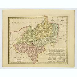
Prussia.
An attractive map with full original color from Wilkinson's General Atlas of the World, Quarters, Empires, Kingdoms, States &c. with Appropriate Tables published by R...
Place & Date: London, 1808
Selling price: $1
Sold in 2021
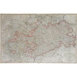
Das Sconigr. Sachsen mit den Kurfurstlich und Herzoglich Saechsischen Laendern. . .
Detailed map of the region of eastern Germany published by the Nuremberg firm Schneider and Weigel in 1809. Shows the cities of Berlin (at the north), Dresden, Leipzig an...
Place & Date: Nuremberg, 1809
Selling price: $70
Sold in 2010
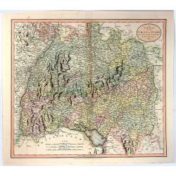
A New Map of the Circle of Swabia, from the Latest Authorities
A fine map of the Swabia region of Germany. Map covers from the Upper Rhine region south as far as Switzerland. Extends eastward as far as Bavaria and westward as far as ...
Place & Date: London, 1811
Selling price: $20
Sold in 2016
A New Map of the Circle of Bavaria, From the Latest Authorities . . .
A detailed map of John Cary’s Bavaria, from the important early 19th century “NEW UNIVERSAL ATLAS”. The map covers the entire circle of Bavaria. Ronald Vere Tooley...
Place & Date: Paris, 1811
Selling price: $43
Sold in 2017
A New Map of the Circles of the Upper and Lower Rhine, from the Latest Authorities
A fine map of the Rhine region of Germany. Map covers from the Westphalia region south as far as France. Extends eastward as far as Luxemburg, and westward as far as Fran...
Place & Date: London, 1811
Selling price: $16
Sold in 2016
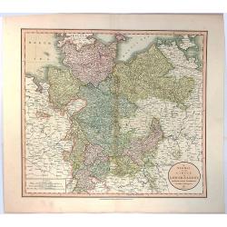
A New Map of the Circle of Lower Saxony, from the Latest Authorities.
A fine map of the Lower Saxony region of Germany. Map covers from the Holstein region south as far as Lower Rhine. Extends eastward as far as Westphalia and westward as ...
Place & Date: London, 1811
Selling price: $27
Sold in 2016
A New Map of the Circle of Westphalia From the Latest Authorities.
An attractive example of John Cary's 1811 map of the Westphalia region of Germany. Map covers from the North Sea to the Lower Rhine, it also includes much of Holland, Bel...
Place & Date: London, 1811
Selling price: $46
Sold in 2017
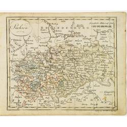
Sachsen.
Nice small map of Saxe in Germany by Johannes Walch in his rare Allgemeiner Atlas Nach den bewährsten Hülfsmitteln und astronomischen Ortsbestimungen…, edition of 181...
Place & Date: Augsburg, 1812
Selling price: $20
Sold in 2017
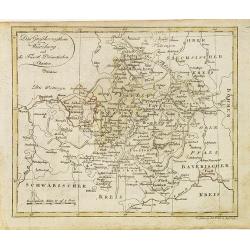
Das Grossherzogthum Würzburg, und die Fûrst Primatischen Staaten.
Nice small map of Wurzburg in Southern Germany by Johannes Walch in his rare Allgemeiner Atlas Nach den bewährsten Hülfsmitteln und astronomischen Ortsbestimungen…, e...
Place & Date: Augsburg, 1812
Selling price: $50
Sold in 2018
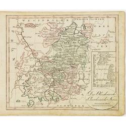
Der Oberrheinische u. Churrheinische Kreis.
Nice small map centered on Frankfurt in Eastern part of Germany by Johannes Walch in his rare Allgemeiner Atlas Nach den bewährsten Hülfsmitteln und astronomischen Orts...
Place & Date: Augsburg, 1812
Selling price: $25
Sold in 2020
Das Königreich Baiern.
Nice small map of Bayern in Southern Germany by Johannes Walch in his rare Allgemeiner Atlas Nach den bewährsten Hülfsmitteln und astronomischen Ortsbestimungen…, edi...
Place & Date: Augsburg, 1812
Selling price: $45
Sold in 2015
Obersachsischer Kreis Nordlicher Theil. (Brandenberg & Pommern)
Infomative little map of Brandenberg and Pommern. By Johann Walsh (1757 - 1824) from the 1812 edition of his atlas, "ALLGEMEINER ATLAS NACH DEN BEWAHSTEN".
Place & Date: Augsburg, 1812
Selling price: $11
Sold in 2016
Germany, North of the Mayne.
A fine hand colored 1816 map depicting the semi-autonomous kingdoms, duchies, and Prussian territories of northern Germany. These include: Westphalia, Rhineland, Saxony, ...
Place & Date: Edinburgh, 1816
Selling price: $47
Sold in 2018
Germany South of the Maine.
A fine map of southern Germany published in Edinburgh in 1817 in Thomson's “New General Atlas”.It is an interesting large format copper engraved antique map of the ea...
Place & Date: Edinbourgh, 1817
Selling price: $117
Sold in 2020
La Bassa Germania (4 Maps)
Four rare maps from "Atlante Geografico" by the priest Bartolomeo Borghi. This was considered as the most important Florentine atlas. The four maps are hand mar...
Place & Date: Florence, 1818
Selling price: $1
Sold in 2015
Partie des Estats Des Cercles des quatre Electeurs et Du Haut Rhin ou sont L'Archevesché et Electorat de Treves..
Detailed map of Rhineland-Palatinate and part of the contiguous regions.Towns highlighted in red. Showing Trier, Bonn, Koblenz, Frankfurt and Mainz.Prepared by Henry Seng...
Place & Date: Paris 1824
Selling price: $50
Sold
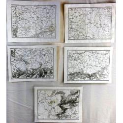
(5 Maps) from “Precis des Evenemens Militares”
A collection of five out a total of 117 specific military events and plans to serve the intelligence of military operations described in the text. These maps are numbered...
Place & Date: Paris, ca 1826
Selling price: $15
Sold in 2016
Batailles de Biberach Livrees Entre les Armees Francaises et Autricheinnes en 1796 et 1800.
Fine military map depicting the details of the battlefield of Biberach. It features fortifications and troop placements. Three plain block cartouches and unique compass r...
Place & Date: Paris, 1839
Selling price: $10
Sold in 2015
Panoramic Map of the Rhine from Cologne to Meyence.
A lovely long panoramabird's eye viewshowing the route from Cologne to Meyence, engraved to accompany Tombleson's view books on the Upper Rhine. Panorama is flanked on ei...
Place & Date: London, ca. 1840
Selling price: $45
Sold in 2018
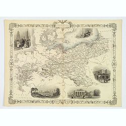
Prussia.
A nice example of this marvelous map of Prussia, surrounded by five decorative vignettes. They include the French Church in Berlin, Frederick the Great, The Royal Palace,...
Place & Date: London, 1851
Selling price: $30
Sold in 2019
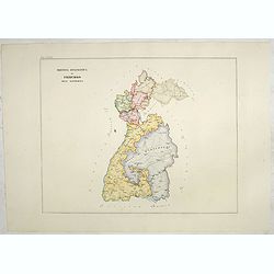
Provincia ecclesiastica di Frigurgo nell' Alemagna (Tav LXXIX)
A large-format map south eastern Germany with Fribourg and its different dioceses. The map is finely engraved and beautifully colored and was prepared by Girolamo Petri, ...
Place & Date: Rome, 1858
Selling price: $150
Sold in 2021
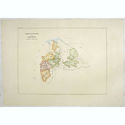
Provincia ecclesiastica di Colonia nella Prussia (Tav LXXX)
A large-format map of west Germany and Cologne with its different dioceses. The map is finely engraved and beautifully colored and was prepared by Girolamo Petri, a lawye...
Place & Date: Rome, 1858
Selling price: $110
Sold in 2019
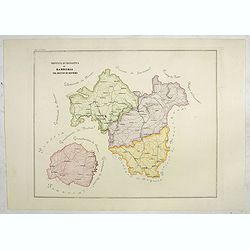
Provincia ecclesiastica di Bamberga nel regno di Baviera (Tav LXXVIII)
This large-format Bamberg map is finely engraved and beautifully colored and was prepared by Girolamo Petri, a lawyer who served as a senior official within the Vatican�...
Place & Date: Rome, 1858
Selling price: $100
Sold in 2020
Preussischer Staat.
Map of the Prussian state showing Posen, Pommern, Brandenburg, Sachsen, Westphalia, Rheinprovinz, Preussen. Nicely colored. Inset of Neufchatel, and a legend box.Cities s...
Place & Date: Glogau/Leipzig, ca 1860
Selling price: $50
Sold in 2019
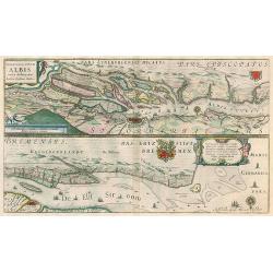
Celeberrimi Fluvii Albis nove delineation.
Hamburg area & Elbe river by Blaeu. Latin text on verso.
Place & Date: Amsterdam, 1644-45
Selling price: $100
Sold in 2010
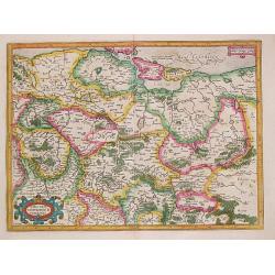
MARCA BRANDEBURGENSIS & POMERANIA.
Gerard Mercator (1512-94). His 'Atlas sive Cosmographica' was posthumously published in 1595. Jodocus Hondius (1563-1612), a founder of the Hondius publishing house, acqu...
Place & Date: Amsterdam, 1613.
Selling price: $310
Sold
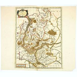
Marchia Nova Vulgo New Marck in March Brandenburg.
Hand-colored copper engraving by Moses Pitt and Stephan Swart. Published in Amsterdam, 1695.
Place & Date: Amsterdam, 1695.
Selling price: $20
Sold in 2020
Cercle de Westphalie, suivant les nouvelles observations..
With decorative title cartouche upper left corner.This example is unusual in having the additional separately engraved decorative framework border around the map, the res...
Place & Date: Amsterdam 1728.
Selling price: $70
Sold
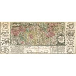
Charte Geographique de la Campagne du Haut Rhin...
Large map by J.F. Oettinger on 2 sheets.
Place & Date: Augsburg, 1740.
Selling price: $300
Sold in 2009
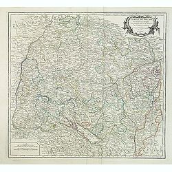
Cercle de Souabe. . .
Finely and crisply engraved map of south part of Germany. Ornamental title cartouche in the upper part of map from his "Atlas Universel".Gilles Robert de Vaugon...
Place & Date: Paris, 1751.
Selling price: $20
Sold in 2015
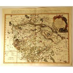
Carte Particuliere de la Principaute de Halberstadt
Carte Particuliere de la Principaute de Halberstadt. A large and rare map of Halberstadt, Germany, and its surroundings by Le Rouge. Showing the town in the German state...
Place & Date: Paris, 17576
Selling price: $112
Sold in 2015
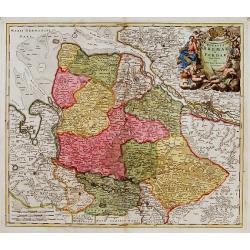
Ducatus Bremae et Ferdae nova tabula.
A very decorative and detailed map with Hamburg on the river Elbe. Also including Oldenburg and Bremen. With a very decorative title cartouche showing putti and allegoric...
Place & Date: Nuremberg, 18th century
Selling price: $150
Sold
