Browse Listings in Europe > Germany > German Provinces
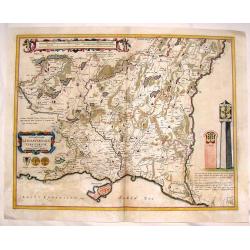
Lusatia Superior.
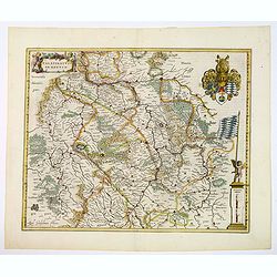
Attractive map of the region straddling present-day southwestern Poland, Saxony and the Czech Republic.Old city names including Lieba, Gorlitz, Dresden, Pirnaw, and Prybu...
Place & Date: Amsterdam, 1647
Selling price: $110
Sold in 2011
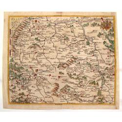
Territorium Abbatiae Herefeldensis - 't Stift Hirszfeldt.
Detailed map centered on Hirschfelt. Title cartouche embellished with two cherubs.
Place & Date: Amsterdam, 1647
Selling price: $21
Sold in 2018
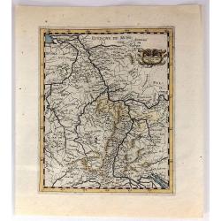
L'Allemagne Audeca du Rhin
A quaint and charming 367 year old map featuring the region of Germany and Luxemburg around the Rhine River from Lake Constance to Gueldre.
Place & Date: Paris, 1649
Selling price: $20
Sold in 2019
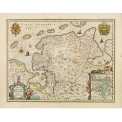
Typus Frisiae Orientalis.
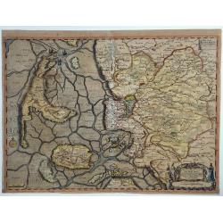
Decorative map of east Frisia in Germany with the Watten islands. With inset map of the area south of Emden. Prepared by Ubbo Emmius (1547-1625).
Place & Date: Amsterdam, 1650
Selling price: $150
Sold in 2018
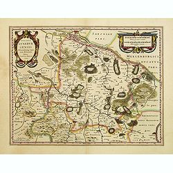
Ducatus Luneburgensis..
Very detailed map centered on Albis river and the cities of Hamburg and Lunburg to the north. Also showing Bremen. Very decorative title cartouche. Scale cartouche embell...
Place & Date: Amsterdam, 1650
Selling price: $220
Sold
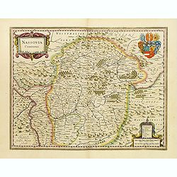
Nassovia Comitatus.
Beautiful map of Nassau, including Coblenz, Siegen, etc.
Place & Date: Amsterdam, 1650
Selling price: $240
Sold
Wirtenberg Ducatus
Map depicting the area south of Heidelberg, including Stuttgart, Ulm, etc.. and river Danube.A beautiful coat of arms and a splendid title cartouche decorated by three ch...
Place & Date: Amsterdam, 1650
Selling price: $90
Sold
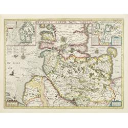
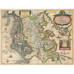
Ducatus Holsatiae nova tabula.
Beautiful map of Schleswich Holstein with two insets.
Place & Date: Amsterdam, 1650
Selling price: $230
Sold in 2011
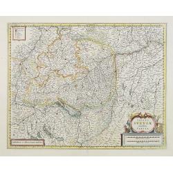
Totius Sueviae novissima tabula.
Beautiful map of Swaben, including Heidelberg, Ulm, Augsburg, Stuttgart, Basel, Zürich, Lucerne, Boden See and Lake Constance.
Place & Date: Amsterdam, 1650
Selling price: $55
Sold in 2018
Circulus Westphalicus sive Germaniae Inferioris.
West to the top. Detailed map of the northern part of Germany far south to Düsseldorf and Waldeck and Paderborn.Lower right imposing title cartouche with inset map of Ha...
Place & Date: Amsterdam, 1650
Selling price: $170
Sold in 2013
Nova descriptio Palatinatus Rheni.
Detailed map of Germany centered of Manheim. An extremely rare map finely engraved. The map is copied by Cornelis Danckerts II after a map by Henricus Hondius. This map a...
Place & Date: Amsterdam, ca. 1650
Selling price: $80
Sold in 2023
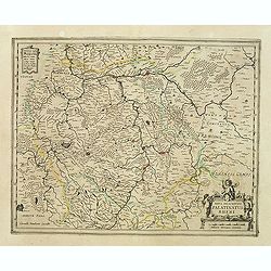
Palatina tus ad Rhenum.
A lovely, super-decorated, detailed map of Germany with "three" cartouches depicting "seven" putti plus a coat of arms. The cities, including Bingen, ...
Place & Date: Amsterdam, 1650
Selling price: $48
Sold in 2016
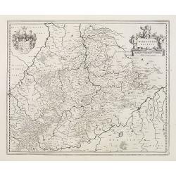
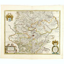
Thuringia landgraviatus...
Detailed map of Thuringa centered on Erfurd on the middle of the map. Showing also Weimar. Embellished with a very decorative title cartouche surrounded by six cherubs. I...
Place & Date: Amsterdam, 1650
Selling price: $50
Sold in 2016
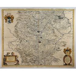
Thuringia Landgraviatus.
A detailed map of Thuringa in central Germany, centred on Erfurd on the middle of the map. Showing also Weimar. Embellished with a very decorative title cartouche that is...
Place & Date: Amsterdam, 1650
Selling price: $37
Sold in 2018
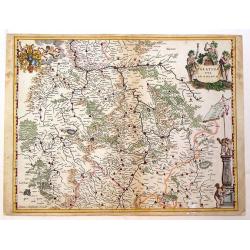
Palatinatus ad rhenum.
A beautiful, detailed map of the south western province of Rhineland-Palatinate in Germany by Blaeu, one of the most famous of all map publishers.A decorative map, coveri...
Place & Date: Amsterdam, ca 1650
Selling price: $50
Sold in 2020
Das Ambt Tondern ohne Lundtoff Herde Anno 1648.
A very decorative, large, rare map of the northern coast of Germany and Denmark published by Casper Dankwerth in the famous, rare atlas "Newe Landesbeschreibung der ...
Place & Date: Hossum, 1651
Selling price: $390
Sold in 2023
Palatinatus Rheni Nova et Accurata Descriptio
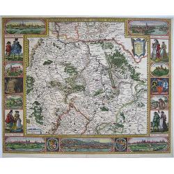
Showing the Rheinland-Pfalz region. With city views of Metz and Frankfurt-am-Main, Worms, Speyer and Heidelberg, and partial views of Heidelberg Castle, the wolf fountain...
Place & Date: Amsterdam, 1652
Selling price: $2000
Sold in 2008
Palatinatus Rheni Nova et Accurata Descriptio.
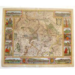
Fine copper engraved map of the Rheinland-Pfalz region of Germany. With city views of Metz, Frankfurt-am-Main, Spier, Heidelberg and Worms. Smaller views of Heidelberg Ca...
Place & Date: Amsterdam, 1652
Selling price: $601
Sold in 2014
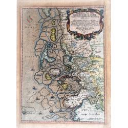
Landtcarte Von dem Nortfrieslande in dem Hertzogthumbe Sleßwig Anno 1651.
A very decorative, rare map showing part of the coastal area of the German North Sea (Nordfriesland). It includes the island of Sylt. From the rare atlas of Mejer Danckwe...
Place & Date: Husum, 1652
Selling price: $130
Sold in 2021
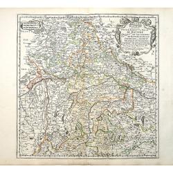
Bayern Baviere..
"Covering southern part of Germany, centered on Regensburg, Augsburg, Munich, etc. Engraved by R.Cordier Abbauil. Nicolas Sanson was to bring about the rise of Frenc...
Place & Date: Paris 1655
Selling price: $70
Sold
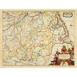
Nova Totius Westphaliae.
Shows the area between Maastricht, Dockum, Herschfelt and Hamburg. A fine copy in attractive colors.
Place & Date: Amsterdam 1656
Selling price: $450
Sold
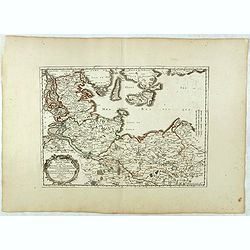
Basse partie de la Basse Saxe.. Duches de Sleswick, Holsace, Meckelenbourg..
Detailed map of the northeastern part of Germany. Nicolas Sanson was to bring about the rise of French cartography, although the fierce competition of the Dutch would las...
Place & Date: Paris, 1657
Selling price: $50
Sold in 2017
[No tile - Bavaria]
Charming little map of part of Souther Germany, including de river Danube, made by Gabriel Bucelin (1599-1681). Bucelin was a Swiss genealogist and an author of several b...
Place & Date: Ulm, Johannes Görlin, 1659
Selling price: $30
Sold in 2011
Civitatis Imp. Lindaviensis Territorium.
Hand-colored copper engraved map of Lindau (Bodensee), Germany. Two beautiful strapwork cartouches with scale cartouche with two putti holding it. Also two pillars dat3ed...
Place & Date: Amsterdam, 1659
Selling price: $28
Sold in 2017
Palatinatus Rheni.
Striking map of the Palentine region of Germamy featuring the cities of Worms, Heydleberg and Kobelberg. A wonderful coat of arms cartouche with three lions decorates the...
Place & Date: Frankfurt, 1660
Selling price: $69
Sold in 2015
Ducatus Sonderborg cum adiacentibus Territoriis Alssen, Sundewitt, et Luxburgh.
With an inset of the castle and plan of Sonderborg. Engraved by the brothers Hus and Petersen. Prepared by Johannes Mejer ( 1606-1674), who surveyed the duchies of Schles...
Place & Date: Amsterdam, 1662
Selling price: $300
Sold in 2011
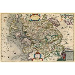
Ducatus Sleswicum sive Iutia Australis.
Map of the area of Schleswig from Blaeu's Major atlas. Latin text on verso.
Place & Date: Amsterdam, 1662
Selling price: $200
Sold in 2009
Ducatus Sleswici Pars Borealis.
Decorative map of North Schleswig from Blaeu's Major atlas. Latin text on verso.
Place & Date: Amsterdam, 1662
Selling price: $150
Sold in 2010
Ducatus Slewici pars Meridionalis.
South Schleswig from Blaeu's Major atlas.
Place & Date: Amsterdam, 1662
Selling price: $170
Sold in 2010
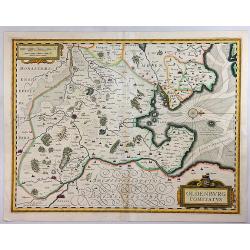
Oldenburg Comitatus.
An attractive map of the region of Oldenburg and Bremen, showing the Jadebusen, and the estuary of the Weser. The topography and towns are beautifully detailed with nice ...
Place & Date: Amsterdam, 1662
Selling price: $20
Sold in 2018
Nordertheil des Amptes Gottorff, Anno 1649.
Map after J. Mejer from Danckwerth, shows the area around Hollingstedt, Holm, Schleswig, Eckernförde, Kappeln, Schlei, Husby. Appeared first in 1652 in "New descrip...
Place & Date: Amsterdam, 1662
Selling price: $170
Sold in 2022
Novam Hanc TERRITORII FRANCOFURTENSIS Tabulam..
Map of Hessen, centred on Frankfurt and the river Main, bordered by design with arms and titles of 33 dignitaries, allegorical figures and cartouche shields with German E...
Place & Date: Amsterdam 1663
Selling price: $650
Sold
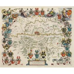
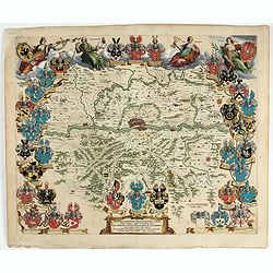
Novam Hanc TERRITORII FRANCOFURTENSIS Tabulam.
One of the most decorative maps of Hessen, centered on Frankfurt and the river Main, bordered by design with arms and titles of 33 dignitaries, allegorical figures and ca...
Place & Date: Amsterdam, 1663
Selling price: $500
Sold in 2022
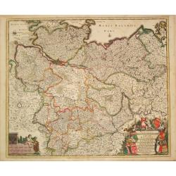
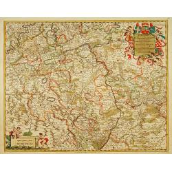
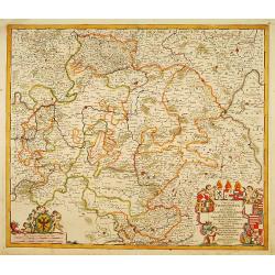
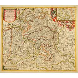
[Set of 4 maps] Meklenburg Ducatus / Circulus Westphalicus / Thuringia Landgraviatus / Oldenburg Comitatus.
The first map is of Mecklenburg, and it is a finely engraved map with a very decorative title cartouche adorned with a chain of fruits. A ship is sailing on the Baltic ne...
Place & Date: Amsterdam, 1635 - 1665
Selling price: $100
Sold in 2017
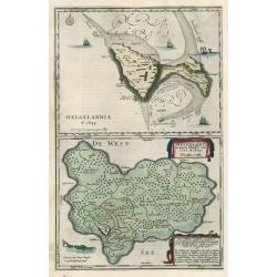
HELGELANDIA Helgelandt in annis Christi 800, 1300 & 1649
This map by Johannes Blaeu illustrates the impact of flooding on Helgelandia (modern day Heligoland), in the southeast corner of the North Sea. The area depicted is a sma...
Place & Date: 1666
Selling price: $150
Sold in 2023
Tabula Geographica Archi-Dioecesis Trevirensis Antiquo-nova 1667.
Rare map of the region of Trier. Inset map with panorama of Trier.
Place & Date: 1667
Selling price: $90
Sold in 2010
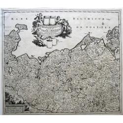
Ducatus Mecklenburgicus. . .
In a large and decorative title cartouche six angels with the coats-of-arms of Vandalia, Mecklenburg, Rostock, Schwerin and Stargard are depicted.Frederick de Wit, Sr. wa...
Place & Date: Amsterdam, c.1670
Selling price: $90
Sold in 2010
Nemetes Evesché de Spire partie de l'Eslectorat et Palatinat du Rhein. . .
Detailed and rare map of Speyer, including the towns of Mannheim, Heidelberg, Heilbronn, Bad Bergzabern and Sindelfingen by Nicolas Sanson d' Abbeville in Paris. Dated 16...
Place & Date: Paris, 1673
Selling price: $135
Sold in 2021
Eslectorat et Marquisat de Brandebourg..
Fine map of the north eastern part of Germany.This edition carries the date 1679. Nicolas Sanson was to bring about the rise of French cartography, although the fierce co...
Place & Date: Paris 1679
Selling price: $120
Sold
Baviere.. Saltzbourg/ Ratisbone/ Passau..
Covering southern part of Germany, centred on Regensburg, Augsburg, München, etc. Engraved by R.Cordier Abbauil.This edition carries the date 1679.Nicolas Sanson was to ...
Place & Date: Paris 1679
Selling price: $80
Sold
Juliacensis, Cliviensis,..Coloniensis Archiepiscopatus..
Detailed map covering the area in-between Maastricht, Weert, Nijmegen, Deventer, Dortmund, Olpe, Cologne and Bonn. Lower right inset map of river Rhine near Koblenz.
Place & Date: Amsterdam 1680
Selling price: $100
Sold
Moguntini Archiepiscopat' et Electoratus..
Map depicting part of western Germany, focusing on Rhineland-Palatinate and Hessen and orientated with north to the left.Marking Frankfurt and Heidelberg.The title cartou...
Place & Date: Amsterdam 1680
Selling price: $240
Sold
Dithmarsia, Rendesburgum, Kiel et Bordesholm in Occodentali parte Holsatiae.
Moses Pitt (d.London,1696), planned to publish together with Janssonius' son-in-law, Janssonius van Waesbergen, a 12 volume atlas. Only 4 vol. 1680-83. Vol. I ' World &am...
Place & Date: London, 1680
Selling price: $80
Sold in 2019
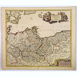
Carte géographique du duché de Pomeranie et de Mecklenbourg. . .
Decorative map of the provinces of Pomerania and Mecklenburg in Germany. With Lubeck, the island of Rugen, Stettin reaching into modern day's Poland.
Place & Date: Amsterdam, 1680
Selling price: $160
Sold in 2011
Exactissima Palatinatus Rheni.
Decorative map of the Rhine River valley includes Frankfurt, Manheim, Heidelberg, Ulm, and Durlach. The topography is noted pictorially, and a simple compass rose orients...
Place & Date: Amsterdam ca.1680
Selling price: $75
Sold in 2014
Wetteravia die Wetteraw.
Published in Oxford 1680 by Moses Pitt and Stephen Swart from the map plates by Joannes Janssonius. Uncommon and very beautiful map of the region around Frankfurt. Extre...
Place & Date: Oxford,1680
Selling price: $200
Sold in 2016
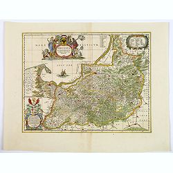
Prussia Accurate Descripta.
As indicated in the title cartouche, the map was prepared by the German cartographer Gaspher Henneberg of Erlich. In a second cartouche it is dedicated to Dr.Nicolao van ...
Place & Date: Oxford, ca 1680
Selling price: $125
Sold in 2020
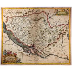
Tabula Geographica Novissima Ducatus Stormariae in Meridionali Parte Holsatiae.
A rare and beautiful map of the region of Germany around Hamburg. Fine detailed topography, including roads, fortifications, cities and villages. The title cartouche is s...
Place & Date: Amsterdam, 1681
Selling price: $145
Sold in 2017
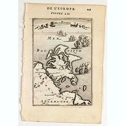
Isee de Rugen.
A map of Rugen island.Title in curtain draped at top. French text on verso.From the original 1683 text edition of "Description d'Univers. . ." by Allain Manesso...
Place & Date: Paris, 1683
Selling price: $10
Sold in 2020
Elettorato Palatinato del Reno.
Fine, detailed, copper engraved map of the course of the Rhine from Mulberg to Bacharach. Frankfort is to the right of the fancy cartouche.Giacomo Cantelli da Vignola (16...
Place & Date: Rome, 1688
Selling price: $17
Sold in 2015
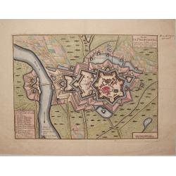
Plan de Philipsbourg Situe Sur le Rhin dans L'Eveche de Spire a Deux Lieux de Cette Ville.
This map features the bishopric fortified town of Philipsbourg on the Rhine River in Germany. It has three plain title and information cartouches.
Place & Date: Paris, 1688
Selling price: $35
Sold in 2015
Marchesato, Et Elettorato di Brandeburg. . .
Rossi's map of Northern Germany, based upon Sanson's map, but with revised Italian nomenclature. The engraver was Francesco Donia Messis.Issued in a second edition of Il ...
Place & Date: Rome, 1688
Selling price: $50
Sold in 2015
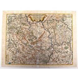
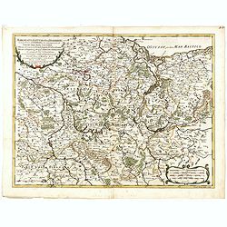
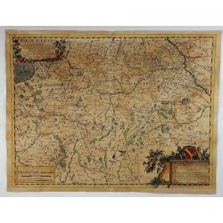
Paese d'Eiffel nel quale sono parte del ducato di Iuliers, il principato d'Arenberg, li stati di conti di Manderscheit. . .
Rossi's map of Eiffel region in Germany, based upon Sanson's map, but with revised Italian nomenclature. From his 'Mercurio Geografico...'. The engraver was Pietra Santa....
Place & Date: Rome, 1689
Selling price: $50
Sold in 2015
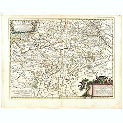
Paese d'Eiffel.
A map of Germany by Rossi in Rome in 1689. From the Atlas La Guida Del Mercurio. Featuring a floral title cartouche and a second cartouche with three putti and a family ...
Place & Date: Rome, 1689
Selling price: $35
Sold in 2018
Archiepiscopatus et Electoratus Moguntini..
Centred on Frankfurt, Mainz and Heidelberg.
Place & Date: Amsterdam, 1690
Selling price: $65
Sold in 2022
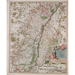
Totius Alsatiae Novissima Tabula qua simul Sundgovia, Brisigavia, Ortenavia maxima pars Marchionatus Badensis.
Frederik de Wit (1610-98), Amsterdam-based cartographer and publisher of 'Atlas minor', 1670, 'Zee-Atlas', 1675, 'Atlas Major', 1690. Nicolaas Visscher (1618-1679), son o...
Place & Date: Amsterdam, F.de Wit, c.1690
Selling price: $190
Sold in 2014
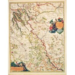
Regionum Coloniensis Electoratu et Archiepiscopatu Tabula.
Nicolaas Visscher's attractive map of Nordrhein-Westfalen. Embellished with a title-cartouch and a cartouche with scales.From Frederick de Wit's' Atlas Maior'. Frederik d...
Place & Date: Amsterdam, F. de Wit, c.1690
Selling price: $80
Sold in 2021
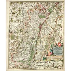
Totius Alsatiae Novissima Tabula qua simul Sundgovia, Brisigavia, Ortenavia maxima pars Marchionatus Badensis.
Frederik de Wit (1610-98), Amsterdam-based cartographer and publisher. ' Atlas minor', 1670, ' Zee-Atlas', 1675, ' Atlas Major', 1690. Nicolaas Visscher (1618-1679), son ...
Place & Date: Amsterdam, F.de Wit, c.1690
Selling price: $50
Sold in 2018
Circulus Franconia in quo sunt Episcopatus Wurtzburg, Bamberg et Aichstet.Ducatus Coburgensis, Marchionatus Cullembach et Onspach Comitatus Henneberg, Wertheim, Holach, Reinec, Papenheim, Erpach, Schwartzenberg, et Castel. Sensheim et Terr. Norinbergense.
Frederik de Wit (1610-98), Amsterdam-based cartographer and publisher. ' Atlas minor', 1670, ' Zee-Atlas', 1675, ' Atlas Major', 1690.An attractive map of the Fränkische...
Place & Date: Amsterdam, c.1690
Selling price: $340
Sold in 2010
Moguntini Archipiscopat' et electorat nec non Commitatum Utriusque Cattimeliboci Verhemensis & Erpachiensi.
Nicolaas Visscher's attractive map of the southern part of Rheinland-Pfalz, Hessen and Wertheim. Embellished with a very cartouche.Frederik de Wit (1610-98), Amsterdam-ba...
Place & Date: Amsterdam, F.de Wit, c.1690
Selling price: $50
Sold in 2018
Marchionatus Brandenburgi et Ducatus Pomeraniae Tabula.
Frederik de Wit (1610-98), Amsterdam-based cartographer and publisher. ' Atlas minor', 1670, ' Zee-Atlas', 1675, ' Atlas Major', 1690.An attractive map of Brandenburg and...
Place & Date: Amsterdam, c.1690
Selling price: $550
Sold in 2008
Circulus Westphalicus in quo sunt Episcopatus Monarsteriensis Paderbornensis et Osnabrugiensis, Ducatus Iuliasnensis, Clivensis, et Montensis, Principatus Mindensis, Ferdensis et Frisiae Orientalis, Comitatus Marchiae &c.
Frederik de Wit (1610-98), Amsterdam-based cartographer and publisher. ' Atlas minor', 1670, ' Zee-Atlas', 1675, ' Atlas Major', 1690.An attractive map of Rheinland-Westf...
Place & Date: Amsterdam, c.1690
Selling price: $90
Sold in 2017
Ciculis Saxoniae Inferioris in quo sunt Ducatus Holsatiae Mecklenburgi, Lauwenburgi, Luneburgi, Brunsuigi, Bremae et Ferdae, Comitatus Dannebergi, Archiepiscopatus Maegdenburgensis, Episcopatus Hildesiae et Halberstad.
An attractive map of Niedersachsen and Hamburg-Holstein. Embellished with a title-cartouche with the coats-of-arms and a cartouche with scales. From Frederick de Wit's &q...
Place & Date: Amsterdam, c.1690
Selling price: $80
Sold in 2019
Electoratus et Palatinatus Rheni..
Centered on the river Rhine, including Frankfurt am Main, Mainz, Speyer, Worms and Heidelberg.
Place & Date: Amsterdam, 1690
Selling price: $100
Sold in 2016
Circulus Franconicus. . .
Detailed map with decorative title cartouche. Centered on the towns of Nuremberg Wurzburg and Bamberg.
Place & Date: Amsterdam, 1690
Selling price: $60
Sold in 2016
Circulus Bavaricus. . .
Decorative map including towns of München, Augsburg, Regensburg, Passau, etc.
Place & Date: Amsterdam, 1690
Selling price: $60
Sold in 2018
Partie des cercles du Haut et Bas Rhein ou sont partie des archevechez de Mayence et de Treves, et les evechez de Wormes et Spire, le Palatinat du Rhein, et les Palatinats de Birkenfelt et de Lautereck. . .
An attractive map of central part of Germany with river Rhine and centered on Manheim. This large one-sheet map was produced by the Venetian cosmographer Vincenzo Coronel...
Place & Date: Paris, 1690
Selling price: $50
Sold in 2015
Paskaart vande Jade, Weser en Elve..
The map extends from Helgoland to the estuaries of Jade, Weser and The Elbe. On the bottom left is the title cartouche stating the manufacturer Johannes van Keulen The te...
Place & Date: Amsterdam, 1690
Selling price: $350
Sold in 2016
Circulus Westphaliae cum Omnibus Suis Subjacentibus....
The circle of Westphalia and surrounding area of Germany. Very detailed map by Justus Dankerts in the Netherlands. The Danckerts family was very large and had a lot of m...
Place & Date: Amsterdam, 1690
Selling price: $22
Sold in 2016
Del Palatinato, et Elettorato Del Reno Parte Orientale... [and] Descritta Dal P. Coronelli Cosmografo della Serema. Repuca.
A large 2-sheet, detailed and decorative map of the Rhine Valley from Coronelli’s Corso Geografico Universale, published in Venice in 1690.The map shows the eastern par...
Place & Date: Venice, 1690
Selling price: $300
Sold in 2018
Marchionatus Brandenburgi et Ducatus Pomeraniae Tabula. . .
An attractive map of Brandenburg and Pommeren. Embellished with a title-cartouche with winged putti, fronds and a pair of coats-of-arms, plus a cartouche with three sets ...
Place & Date: Amsterdam, 1690
Selling price: $50
Sold in 2019
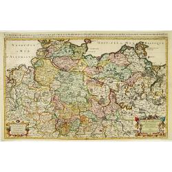
Le cercle de la basse Saxe..
Large scale map of Northern Germany, with Berlin, reaching as far as Poland, with Stettin.Prepared by Sanson and published by Jaillot.Very large and decorative piece.
Place & Date: Paris 1692
Selling price: $105
Sold
Ducatus Brunsuicensis. . . Calenbergicum, Grubenhag..
With numerous coats of arms of principal cities all over the map.The cartouche is painted in a strong and a somewhat impressionistic way. Varnish is used for the dark sha...
Place & Date: Nurmberg, 1692
Selling price: $50
Sold in 2018
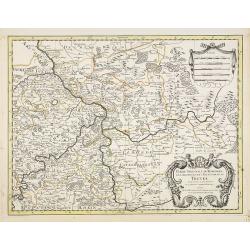
Partie Orientale du Temporel de l'Archevesché et Eslectorat de Treves . . .
Fine map of Trier with a figurative title and scale cartouche.The French name of the city of Trier, in Germany.Alexis-Hubert Jaillot (1632-1712), was a French cartographe...
Place & Date: Amsterdam, 1692
Selling price: $50
Sold in 2021
Partie Occidentale du Temporel de l'Archevesché et Eslectorat de Treves . . .
Fine map centered on Trier and the river Meuse, with its wine region. Figurative title cartouche in upper part and small scale cartouche.Alexis-Hubert Jaillot (1632-1712)...
Place & Date: Amsterdam, 1692
Selling price: $50
Sold in 2021
Partie Occidentale du Temporel de l'Archevesché et Eslectorat de Mayence . . .
Fine map centered on Wertheim, Glashütten, Freudenberg, along the river Main, with a figurative title and scale cartouche.Alexis-Hubert Jaillot (1632-1712), was a French...
Place & Date: Amsterdam, 1692
Selling price: $50
Sold in 2021
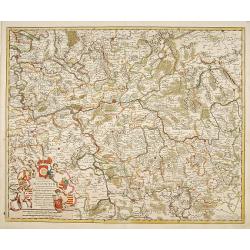
Partie Occidentale du Palatinat et Eslectorat du Rhein Le Duché de Simmeren . . .
Detailed map of the eastern Rheinpfalz, the immediate area around Heidelberg and Mannheim, reaching to Kaiserslautern, Gernsheim, Heilbronn and Karlsruhe. Decorative cart...
Place & Date: Amsterdam, 1692
Selling price: $50
Sold in 2021
Le cercle de Franconie. . .
Fine map of Frankenland with a decorative title and scale cartouche. Including the towns of Mainz, Wurzburg, Bamberg, etc.Alexis-Hubert Jaillot (1632-1712), was a French ...
Place & Date: Amsterdam, 1692
Selling price: $50
Sold in 2020
Le cercle de Baviere. . .
Fine map of Bavaria with a decorative title and scale cartouche. Including the towns of Regensburg, Passau, etc.Alexis-Hubert Jaillot (1632-1712), was a French cartograph...
Place & Date: Amsterdam, 1692
Selling price: $105
Sold in 2021
Oost-Frise, ou Le Comté d'Embden . . .
Fine map of East Friesland with a decorative cartouche and small scale of miles.Alexis-Hubert Jaillot (1632-1712), was a French cartographer. He joined the Sanson heirs a...
Place & Date: Amsterdam, 1692
Selling price: $40
Sold in 2012
![[No tile - Bavaria]](/uploads/cache/26977-250x250.jpg)


![[Set of 4 maps] Meklenburg Ducatus / Circulus Westphalicus / Thuringia Landgraviatus / Oldenburg Comitatus.](/uploads/cache/40529-250x250.jpg)
![Del Palatinato, et Elettorato Del Reno Parte Orientale... [and] Descritta Dal P. Coronelli Cosmografo della Serema. Repuca.](/uploads/cache/81112-250x250.jpg)
