Browse Listings in Europe > Germany > German Provinces
Cleve et Murs.
Map of Cleve, including Eindhoven, Dusseldorf, Aachen, Maastricht, etc. From the first French-text edition of Jodocus Hondius' Atlas Minor.Shortly after the publication o...
Place & Date: Amsterdam, 1608
Selling price: $50
Sold in 2019
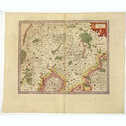
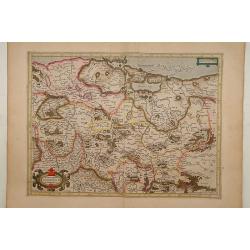
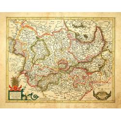
Thuringia.
Detailed map showing the region around Erfurt and Weimar. With major cities of the area named.From the first French-text edition of Jodocus Hondius' Atlas Minor.Shortly a...
Place & Date: Amsterdam, 1608
Selling price: $20
Sold in 2020
Holsatia.
Map of Holsatia, including the town of Hamburg. From the first French-text edition of Jodocus Hondius' Atlas Minor.Shortly after the publication of the big folio-atlases ...
Place & Date: Amsterdam, 1608
Selling price: $30
Sold in 2017
Pomerania.
Miniature map of the Northern part of Germany, with major cities named. Strapwork title cartouche at the top. Sea is stipple engraved. Latin text on verso.
Place & Date: Antwerp 1609
Selling price: $70
Sold
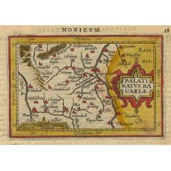
Palatinatus Bavariae.
Miniature map of the German part Bavaria, with major cities named; Bamberg, Nuremberg, and Regensburg. Strap work title cartouche at right. Latin text on verso.
Place & Date: Antwerp 1609
Selling price: $70
Sold
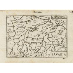
Bavaria.
Miniature map of a part of Germany and Austria, with major cities named like Munchen and Salzburg. Strapwork title cartouche at the bottom. The Chiemsee is stipple engrav...
Place & Date: Antwerp 1609
Selling price: $70
Sold
NORIMBERG. AGRI, FIDISSIMA DESCRIP.1590.
Abraham Ortelius(1527-98), Dutch cartographer and publisher of the first modern atlas, "Theatrum Orbis Terrarum" in 1570. Editions till 1612. Also an atlas of a...
Place & Date: Antwerp, Robert Bruneau, 1609
Selling price: $175
Sold in 2009
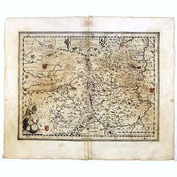
HENNENBERGEN: / SIS DITIONIS. / vera delineatio.
Abraham Ortelius(1527-98), Dutch cartographer and publisher of the first modern atlas, ' Theatrum Orbis Terrarum' in 1570. Editions till 1612. Also an atlas of ancient ca...
Place & Date: Antwerp, Robert Bruneau, 1609
Selling price: $140
Sold in 2011
TURINGI: / AE NOVISS. / DESCRIPT.
Abraham Ortelius(1527-98), Dutch cartographer and publisher of the first modern atlas, ' Theatrum Orbis Terrarum' in 1570. Editions till 1612. Also an atlas of ancient ca...
Place & Date: Antwerp, Robert Bruneau, 1609
Selling price: $140
Sold in 2014
BASILIEN: / SIS TERRITORII / DESCRIPTIO NOVA.
Abraham Ortelius(1527-98), Dutch cartographer and publisher of the first modern atlas, ' Theatrum Orbis Terrarum' in 1570. Editions till 1612. Also an atlas of ancient ca...
Place & Date: Antwerp, Robert Bruneau, 1609
Selling price: $70
Sold in 2020
HENNENBERGEN: / SIS DITIONIS. / vera delineatio.
Abraham Ortelius(1527-98), Dutch cartographer and publisher of the first modern atlas, ' Theatrum Orbis Terrarum' in 1570. Editions till 1612. Also an atlas of ancient ca...
Place & Date: Antwerp, Robert Bruneau, 1609
Selling price: $25
Sold in 2013
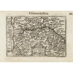
Palatinatus Rheni / Palatinat du Rhin.
A miniature map centered on Heidelberg and Manheim. Title cartouche on the lower part.First published in 1598 in his Caert-Thresoor, the plates were executed by the most ...
Place & Date: Amsterdam/Frankfurt 1609
Selling price: $35
Sold
Thiet Marsia.
A miniature map of Holstein. Title cartouche on the upper right corner.First published in 1598 in his Caert-Thresoor, the plates were executed by the most famous engraver...
Place & Date: Amsterdam/Frankfurt 1609
Selling price: $50
Sold
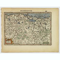
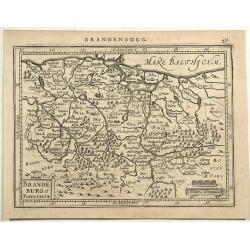
Brandenburg / Marquisat de Brandebourg.
A miniature map of Brandenburg province. The title cartouche on the lower right corner.First published in 1598 in his Caert-Thresoor, the plates were executed by the most...
Place & Date: Amsterdam / Frankfurt, 1609
Selling price: $15
Sold in 2022
Saxonia / Thuringia / Misnia.
A miniature map centered on Saxen, Misnie and Thuringen. Title cartouche on the lower left corner.First published in 1598 in his Caert-Thresoor, the plates were executed ...
Place & Date: Amsterdam / Frankfurt, 1609
Selling price: $20
Sold in 2021
Franconia.
A miniature map including Frankfort and Nuremberg, Title cartouche on the upper left corner.First published in 1598 in his Caert-Thresoor, the plates were executed by the...
Place & Date: Amsterdam/Frankfurt ,1609
Selling price: $20
Sold in 2021
Bavaria.
A miniature map showing a part of Bavaria, including the cities of Innsbruck, Augsburg, Ingolstat, Munich, etc. Title cartouche on the lower right corner.First published ...
Place & Date: Amsterdam/Frankfurt 1609
Selling price: $35
Sold
HOLSATIAE / DESCRIPTIO.
Abraham Ortelius(1527-98), Dutch cartographer and publisher of the first modern atlas, 'Theatrum Orbis Terrarum' in 1570. Editions till 1612. Also an atlas of ancient car...
Place & Date: Antwerp, Robert Bruneau, 1609
Selling price: $240
Sold
WEST: / PHALIAE / TOTIUS, FINI: / TIMARUMQUE . REGIONUM / ACCURATA / DESCRIP: / TIO. 1579.
Abraham Ortelius(1527-98), Dutch cartographer and publisher of the first modern atlas, ' Theatrum Orbis Terrarum' in 1570. Editions till 1612. Also an atlas of ancient ca...
Place & Date: Antwerp, Robert Bruneau, 1609
Selling price: $550
Sold
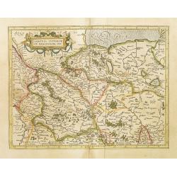
Saxonie Inferior et Meklenborg Duc.
Mercators Saxony map with gold highlights. French text on verso.
Place & Date: Amsterdam, 1609
Selling price: $100
Sold in 2009
Brandeburg et Pomerania.
A nice small map of Brandenburg and Pomerania, in northeastern Germany, with the western portion of Poland. Berlin is shown roughly in the center of the map. Many larger ...
Place & Date: Amsterdam, 1610
Selling price: $17
Sold in 2021
Hennebergensis ditionis vera delineatio. / Hassiae descriptio..
Two maps on one sheet, also with Schweinfurt and Bamberg.
Place & Date: Antwerp 1612
Selling price: $80
Sold
FRANCKENLANDT Francia orientalis.
Gerard Mercator (1512-94). His ' Atlas sive Cosmographica' was posthumuously published in 1595. Jodocus Hondius (1563-1612), founder of the Hondius publishing house, acqu...
Place & Date: Amsterdam, 1613
Selling price: $290
Sold
BERGHE Ducatus MARCK Comitatus et COLONIENsis Diocesis Per Gerardum Mercatorem.
The map covers a large section of the lower Rhine River and the surrounding region, including to Frankfurt and north to Duisburg.9174691746 Gerard Mercator (1512-1594) w...
Place & Date: Amsterdam, (1585-95) 1613
Selling price: $125
Sold in 2011
Bavaria Ducatus. Per Gerardum Mercatorem.
Map of Bavaria in Germany. Danube River across top third of the map. Numerous cities (Ingolstat, Regensburg, etc.), towns and villages on the map with various lakes incl...
Place & Date: Amsterdam, (1585-95) 1613
Selling price: $65
Sold in 2014
Emden & Olden Borch Comit Per Gerardum Mercatorem.
The highly detailed map shows northwest Germany and the northern portion of Lower Saxony. Extends from Bremen at lower right, Oldenburg (here Oldenborch) and west to the ...
Place & Date: Duisburg and then Amsterdam, (1585-95) 1613
Selling price: $90
Sold in 2013
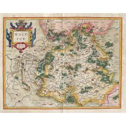
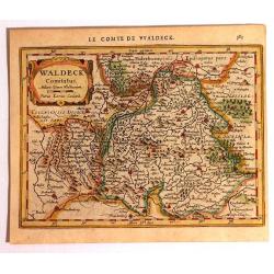
Waldeck: Waldeck Comitatus. . .
Map of Waldeck in Germany. The map first appeared in 1585 and then in Gerard Mercator’s Atlas sive Cosmographicae..., published in 1595 & 1602.In 1604, the copper...
Place & Date: Amsterdam, (1585-95) 1613
Selling price: $50
Sold in 2014
Bavaria Ducatus.
Bayern
Place & Date: Amsterdam, 1619
Selling price: $170
Sold in 2016
Palatinatus RhenI.
A nice, detailed map of the Rheinpfalz in Germany by Mercator, an early and famous map publisher.An attractive map, covering part of the river Rhine, that includes (among...
Place & Date: Amsterdam, ca 1619
Selling price: $55
Sold in 2021
Alsatia Milliaria Germa.
Pleasing miniature map od The Alsatia region of Germany. Published in about 1620 by Hondius. Ir has Latin scrip on verso. Interesting strap title cartouche.
Place & Date: Amsterdam, c. 1620
Selling price: $25
Sold in 2016
Complete set of 7 maps of German provinces.
The extremely rare set of seven maps, prepared by Johann Michael Gigas who sold the maps separately and later included them in the first Regional Atlas "Prodomus Geo...
Place & Date: Cologne, Hogenberg, ca. 1620
Selling price: $3400
Sold in 2016
Brandeburg et Pomeraniae.
Regional map of north eastern Germany showing Berlin, Brandenburg etc. and part of western Poland, with decorative cartouche, from the 'Atlas Minor' by Mercator and Hondi...
Place & Date: Amsterdam, 1620
Selling price: $30
Sold in 2019
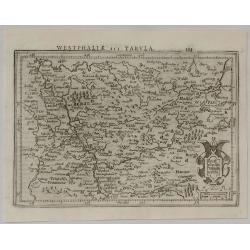
Westphalia Tabula Tertia.
A pleasing small copperplate map of Westphalia with Cologne, Cassel and Frankfurt, by Gerardus Mercator (1512–1594). He was a 16th-century geographer, cosmographer and ...
Place & Date: Duisburg, 1620
Selling price: $36
Sold in 2020
Der Teutschen fursen neuwer Zug auff gericht an 1591
Fine engraving of different German troups complete with the name of their leader and number of soldiers. Plate from the series about the " Eighty Years War" or ...
Place & Date: Cologne, ca. 1620
Selling price: $25
Sold in 2021
Abriss und verzeichnus dess orts UDENHEIM und deren gelegenheit, wie ihm Jahr 1618. . . [Udenheim, Spier- Heidelberg-Manheim ...]
Bird's eye- map of the region of Spier, Heidelberg and Manhei.
Place & Date: Cologne, ca. 1620
Selling price: $70
Sold in 2020
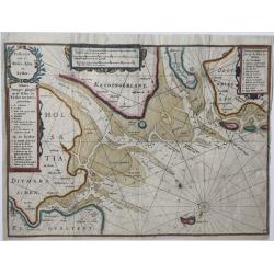
Paskaart van de Weser, Elve en Eyder.
Sea chart of the entrances to the ports of Bremerhaven and Hamburg and the mouths of the Weser, Elbe and Eyser rivers in Northeastern Germany.A rare and early small map, ...
Place & Date: Amsterdam, 1623
Selling price: $260
Sold in 2020
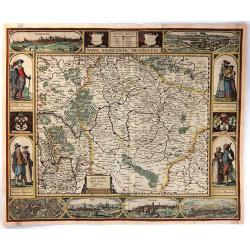
Nova Franconiae Descriptio.
A striking example of Jansson & Goos’s “Carte a Figures” map of the Franconia region of Germany. In its decorative border there are city views featured of Nurem...
Place & Date: Amsterdam, 1626
Selling price: $825
Sold in 2016
Cleve et Murs
Map of Cleve, including Eindhoven, Dusseldorf, Aachen, Maastricht, etc., published by Janssonius and included in Atlas Minor Gerardi Mercatoris. Engraved by Petrus Kaeriu...
Place & Date: Amsterdam 1628
Selling price: $50
Sold
Emden et Oldenbor.
c published by Janssonius and included in Atlas Minor Gerardi Mercatoris. Engraved by Petrus Kaerius.
Place & Date: Amsterdam 1628
Selling price: $40
Sold
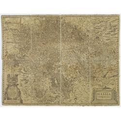
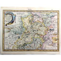
Hassa Landgraviarus.
Folding-map of Hassia: the Latin name for the German state Hessen (capital Wiesbaden). Beautiful map of a part of Germany from Jansson's edition of Mercator's Atlas.More ...
Place & Date: Amsterdam, 1628
Selling price: $35
Sold in 2020
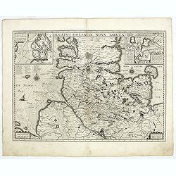
Ducatus Holsatiae nova tabula.
Extremely rare first edition of this beautiful map of Schleswich Holstein.Jodocus Hondius Jr. planned to produce a new modern atlas less dependent on the Mercator plates ...
Place & Date: Amsterdam, 1629
Selling price: $600
Sold in 2020
Celeberrimi Fluvis Albis nova delineatio.
Extremely rare first edition of this beautiful map of Elbe and Hamburg.Jodocus Hondius Jr. planned to produce a new modern atlas less dependent on the Mercator plates tha...
Place & Date: Amsterdam, 1629
Selling price: $750
Sold in 2020
Marca Brandeburgensis & Pomerania.
Centered on the towns of Brandenburg and Berlin. Based on the map by Elias Cameriarus (abt.1530-1581).RARE second state, with both the signatures of Gerard Mercator and H...
Place & Date: Amsterdam, 1630
Selling price: $300
Sold in 2015
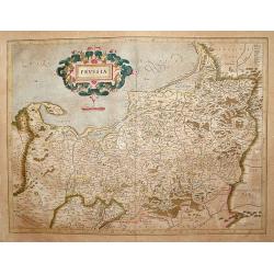
Prussia .
An attractive map of Prussia, embellished with a large strapwork title-cartouche.
Place & Date: Amsterdam, 1630
Selling price: $650
Sold in 2009
Bavaria Ducatus.
Map depicting Germany province of Bavaria.RARE second state: with both the signatures of Gerard Mercator and Henricus Hondius. The address Henricus Hondius and date 1627 ...
Place & Date: Amsterdam, 1630
Selling price: $205
Sold in 2016
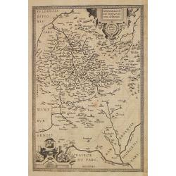
Palatinatus Bavariae.
Map depicting part of Germany provinces, north of the river Danube.RARE second state: with both the signatures of Gerard Mercator and Henricus Hondius. The address Henric...
Place & Date: Amsterdam, 1630
Selling price: $50
Sold in 2023
Emden & Oldenboch Comit.
Map of the northern province of Germany.
Place & Date: Amsterdam, 1630
Selling price: $50
Sold in 2018
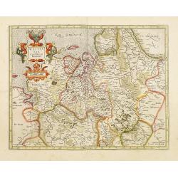
Westfalia Cum Dioecesi Bremensi.
Map of the northern province of Germany. RARE second state: with both the signatures of Gerard Mercator and Henricus Hondius. The address Henricus Hondius was added to th...
Place & Date: Amsterdam, 1630
Selling price: $100
Sold in 2014
Berghe Ducatus Marck Comitatus et Colonien..
Including the River Rhine and the towns of Cologne, Coblenz and Frankfurt.RARE second state: with both the signatures of Gerard Mercator and Henricus Hondius. The address...
Place & Date: Amsterdam 1630
Selling price: $90
Sold in 2022
Wirtenberg Ducatus.
Map depicting part of Germany provinces.RARE second state: with both the signatures of Gerard Mercator and Henricus Hondius. The address Henricus Hondius was added to the...
Place & Date: Amsterdam 1630
Selling price: $65
Sold
Alsatia superior..
Map of the upper part of Germany province of Elsas, including the towns of Basel and Strasbourg. In the center the river Rhine.RARE second state: with both the signatures...
Place & Date: Amsterdam 1630
Selling price: $50
Sold in 2020
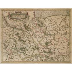
Saxonia inferior et meklenborg duc.
Map of Saxony.RARE second state: with both the signatures of Gerard Mercator and Henricus Hondius. The address Henricus Hondius was added to the copper plate in 1627 and ...
Place & Date: Amsterdam, 1630
Selling price: $50
Sold in 2022
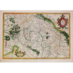
Thuringia.
Map depicting part of Germany provinces in the east.RARE second state: with both the signatures of Gerard Mercator and Henricus Hondius. The address Henricus Hondius and ...
Place & Date: Amsterdam, 1630
Selling price: $90
Sold in 2022
Frankenlandt. Francia orientalis.
Map depicting part of Germany provinces.RARE second state: with both the signatures of Gerard Mercator and Henricus Hondius. The address Henricus Hondius and date 1627 wa...
Place & Date: Amsterdam, 1630
Selling price: $50
Sold in 2015
Saxonia Superioris Lusatiae..
Map of Saxony.RARE second state: with both the signatures of Gerard Mercator and Henricus Hondius. The address Henricus Hondius and date 1627 was added to the copper plat...
Place & Date: Amsterdam 1630
Selling price: $50
Sold in 2022
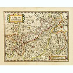
Coloniensis archiepiscopatus.
Detailed map centered on the river Rhine and the city of Cologne, punctuated by several coats of arms.
Place & Date: Amsterdam, 1630
Selling price: $50
Sold in 2016
Totius Circuli Westphalici Accurata Defcriptio.
Map of Lower Saxony by Hondius which includes Friesland and depicts the coastline along the German Sea between the mouth of the Rhine and Elbe rivers and the regions down...
Place & Date: Amsterdam, 1630
Selling price: $40
Sold in 2010
Braunswyck & Meydburg cum Ceteris Adiacentibus.
RARE second state: with both the signatures of Gerard Mercator and Henricus Hondius. The address Henricus Hondius was added to the copper plate in 1627 and only used in a...
Place & Date: Amsterdam, 1630
Selling price: $50
Sold in 2015
Palatinat Bavariae
A lovely map of the land north of the Danube River. Two fancy matching strapwork cartouches decorate this little map with detailed forests, towns, mountains, lakes and ci...
Place & Date: Amsterdam, ca. 1630
Selling price: $20
Sold in 2013
Saxoniae Superioris, Lusatiae Misniaeque Des
Striking map of Upper Saxony, Germany including portions of Czechoslovakia and Poland. From the Cloppenburg edition with French text on verso. Engraved by Pietre van den ...
Place & Date: Amsterdam, ca. 1630
Selling price: $45
Sold in 2014
Marca Brandeburgensis & Pomerania.
Centered on the towns of Brandenburg and Berlin. Based on the map by Elias Cameriarus (abt.1530-1581).RARE second state, with both the signatures of Gerard Mercator and H...
Place & Date: Amsterdam, 1630
Selling price: $40
Sold in 2018
Prussia .
The map was prepared by the German cartographer Gaspher Henneberg of Erlich.
Place & Date: Amsterdam, 1630
Selling price: $55
Sold in 2015
Hassia Landtgraviatus Miliaria Communia.
Fine copperplate map originally by Gerard Mercator, republished by Cloppenburgh in 1630 in "ATLAS MINOR". Engraved by Pieter Van Der Keere (Petrus Kaerius).
Place & Date: Amsterdam, 1630
Selling price: $22
Sold in 2017
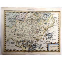
Thuringia, Milliaria Communia.
Fine hand colored, copperplate map originally by Gerard Mercator, republished by Cloppenburgh in 1630 in "ATLAS MINOR". Engraved by Pieter Van Der Keere (Petrus...
Place & Date: Amsterdam, 1630
Selling price: $111
Sold in 2016
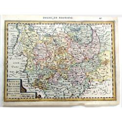
Braunswyck & Meydburg Cum Ceteris Adiacentibus.
Fine hand colored, copperplate map originally by Gerard Mercator, re-published by Cloppenburgh in 1630 in "ATLAS MINOR". Engraved by Pieter Van Der Keere (Petru...
Place & Date: Amsterdam, 1630
Selling price: $20
Sold in 2019
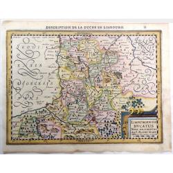
Limburgensis Ducatus Nova Descriptio, Auct. Aegidio Martini.
Fine hand colored, copperplate map originally by Gerard Mercator, re-published by Cloppenburgh in 1630 in "ATLAS MINOR". Engraved by Pieter Van Der Keere (Petru...
Place & Date: Amsterdam, 1630
Selling price: $45
Sold in 2019
Waldeck Comitatus
Published in the first Cloppenburgh edition of Gerhard Mercator's 'Atlas Minor' in 1630. This is the first Cloppenburgh edition with new engraved maps in a larger format....
Place & Date: Amsterdam, 1630
Selling price: $81
Sold in 2015
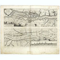
Nobilis fluvius Albis ... a J. Janssonio. [With a View of] Emporium Hamburgum.
This very attractive map of the area of the course of the Elbe river from Hamburg to its mouth on the North Sea. Hamburg and its many small islands are in the left of the...
Place & Date: Amsterdam, after 1630
Selling price: $60
Sold in 2016
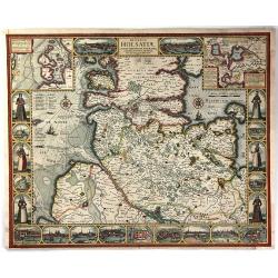
Ducatus Holsatiae, Summa Diligentia Accurataque Censura Noviter.
A beautiful, rare, decorative “Carte a Figures” map of Holstein, Germany by Johannes Visscher of Amsterdam. It was engraved by Abraham Goos, and shows the former Duch...
Place & Date: Amsterdam, 1630
Selling price: $700
Sold in 2016
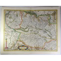
Alsatia Superior.
A pleasant colored map of the Alsace from the Mercator-Hondius "Atlas Minor". Covering the area between Strasbourg and Basel. In the centre is the Rhine River a...
Place & Date: Amsterdam, 1630
Selling price: $25
Sold in 2018
Ducatus Holsatiae nova tabula.
Very detailed map of Northern Germany centered on Hamburg and Lubeck. With two insets.
Place & Date: Amsterdam, 1629-1630
Selling price: $85
Sold in 2020
Nobilis fluvius Albis..
Two maps. The first one centered on the city of Hamburg, showing the Albis river. The second one decorated with a coat of arms and seventeen keys for the city.
Place & Date: Amsterdam, 1629-1630
Selling price: $75
Sold in 2019
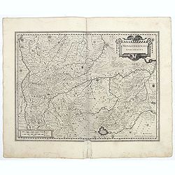
Monasteriensis Episcopatus.
A very detailed map of Germany centered on Munster and Linge. Also showing Wessel to the top of the map and Oldenburg to the right. North to the right. The map is adorned...
Place & Date: Amsterdam, 1629-1630
Selling price: $50
Sold in 2021
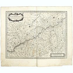
Coloniensis archiepiscopatus.
Detailed map centered on the river Rhine and the city of Cologn, punctuated by several coats of arms.
Place & Date: Amsterdam, 1629-1630
Selling price: $50
Sold in 2021
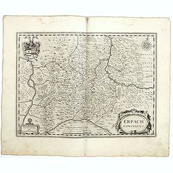
Erpach comitatus.
A detailed map centered on the german country of Erpach. Also showing the town of Heidelberg in left lower part and including the river Rhine on the left side. A very dec...
Place & Date: Amsterdam, 1629-1630
Selling price: $50
Sold in 2021
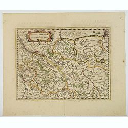
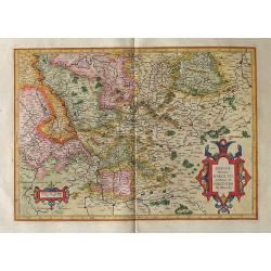
Saxonia Inferior et Meklenborg Duc.
A map of the northern German region of Lower Saxony, showing the region on either side of the Elbe River. Some larger cities are highlighted in red, Hamburg, Lunenburg, B...
Place & Date: Amsterdam, 1630
Selling price: $28
Sold in 2021
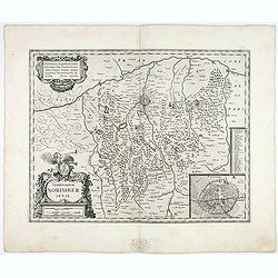
Territorium Norimbergense.
Very beautifull map centered on Nuremberg and its surrounding countryside. With an inset giving the detailed plan of the city, capital of the printing shop of Homann. A k...
Place & Date: Amsterdam, 1629-1630
Selling price: $150
Sold in 2021
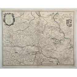
Comitatus Mansfeldia.
A copper engraved map of Saxony-Anhalt by Hondius. It features a decorative cartouche, a coats-of-arms and a mileage scale. Showing the area between Halle a. d. Saale, As...
Place & Date: Amsterdam, 1630
Selling price: $26
Sold in 2022
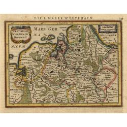
Westphalia Cum Diocesi Bremensi.
Map depicting a part of Germany with Bremen and Emden. Decorated with a small strapwork title cartouche. German text on verso.
Place & Date: Amsterdam, 1631
Selling price: $60
Sold
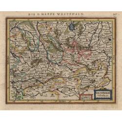
Westphalia tabula II
This little map covers part of North Rhein-Westphalia north of the Lippe River, with southern portions of Lower Saxony as far as Meppen and Diepholz. The strapwork title ...
Place & Date: Amsterdam, 1631
Selling price: $50
Sold
















![Abriss und verzeichnus dess orts UDENHEIM und deren gelegenheit, wie ihm Jahr 1618. . . [Udenheim, Spier- Heidelberg-Manheim ...]](/uploads/cache/43506-250x250.jpg)










![Nobilis fluvius Albis ... a J. Janssonio. [With a View of] Emporium Hamburgum.](/uploads/cache/37563-250x250.jpg)
