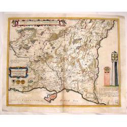
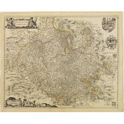
Hassia Landgraviatus.
Centered on the town of Kassel. With decorative title cartouche. Latin text on verso.With scale of longitude and latitude, and decorative cartouches.
Place & Date: Amsterdam 1645
Selling price: $50
Sold
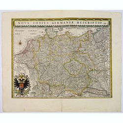
Nova Totius Germaniae Descriptio.
As indication in the title cartouche, the map was prepared by the German cartographer Gaspher Henneberg of Erlich. Showing central Europe, including the Netherlands, Belg...
Place & Date: Amsterdam, 1645
Selling price: $210
Sold
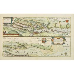
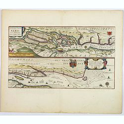
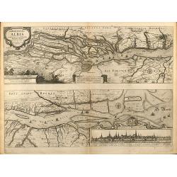
Celeberrimi Fluvis Albis nova delineatio.
Beautiful map of the river Elbe and Hamburg. Latin text on verso.Originally engraved for Jodocus Hondius, at his death on August 18, 1629, this among 39 other Hondius cop...
Place & Date: Amsterdam, 1645
Selling price: $120
Sold in 2020
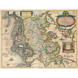
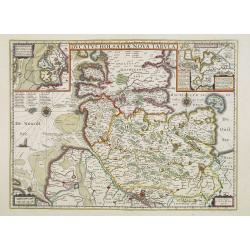
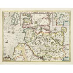
Ducatus Holsatiae nova tabula.
Finely engraved map centered on the area north of Hamburg and Lubeck with two insets.This is a second state of a map initially made by Jodocus Hondius.
Place & Date: Amsterdam, 1645
Selling price: $100
Sold in 2019
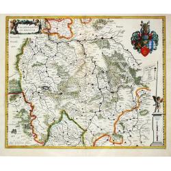
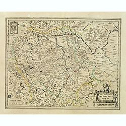
Palatinatus ad Rhenum.
Willem Blaeu, founder of the famous publishing firm. Originally publishing pilot-guides, he issued his first atlas, 'Atlantis Appendix', in 1630, followed by his "Th...
Place & Date: Amsterdam, 1645
Selling price: $90
Sold in 2019
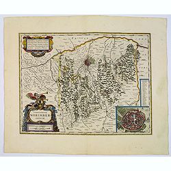
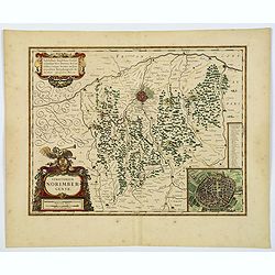
Territorio Norimbergense.
Decorative map with inset cityplan of Nurnberg. Latin text on verso.
Place & Date: Amsterdam, c. 1645
Selling price: $80
Sold in 2010
Carte generale de L'Empire d'Allemagne et pays circonvoisins. . .
Early imprint of this fine map of Germany, Poland, Low countries, Switzerland and Austria. The map was first published by Tavernier and later by Mariette. This edition ca...
Place & Date: Paris, 1642 -1645
Selling price: $50
Sold in 2023
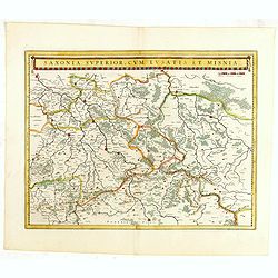
Saxonia Superior, cum Lusatia et Misnia.
Finely engraved and detailed map of Saxony including Halle, Leipzig, Meissen, and Dresden. Filled with forests and tiny villages. It presents Prague close to the center o...
Place & Date: Amsterdam, 1645
Selling price: $50
Sold in 2016
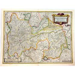
Monasteriensis Episcopatus.
A beautifully detailed map of Germany, centred on Munster and Linge. The map is decorated with several small coats of arms pertaining to the main cities.There is a striki...
Place & Date: Amsterdam, 1645
Selling price: $26
Sold in 2016
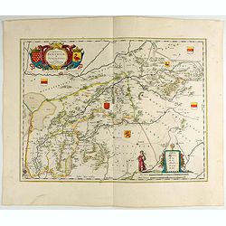
Comitatus Bentheim et Steinfurt.
An excellent and early map of the former county of Bentheim (Lower Saxony) and Steinfur (North Rhine-Westphalia) and bordering areas in Germany. Very decorative title car...
Place & Date: Amsterdam, 1645
Selling price: $50
Sold in 2022
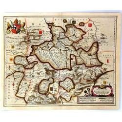
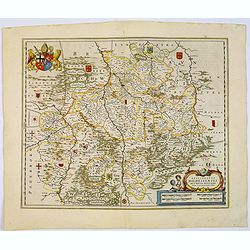
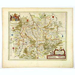
Episcopatus Hildesiensis de Scriptio Novissima.
A fine mid-17th century copper engraved map of the region around Hildesheim, in Lower Saxony. It includes numerous cities and corresponding coat of arms held by a lion on...
Place & Date: Amsterdam, 1645
Selling price: $15
Sold in 2016
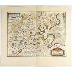
Oldenburg Comitatus.
Willem Blaeu's attractive map of Oldenburg, also depicting Bremen. Some nice calligraphy, decorative title cartouche and mileage scale, rhumb lines and a compass rose fur...
Place & Date: Amsterdam, 1645
Selling price: $25
Sold in 2023
Episcopatus Hildesiensis Descriptio Novissima.
This is Blaeu's attractive map centered on the city of Hildesheim. The extensive forests and woodlands of the area are highlighted, as are the rivers Leine and Innerste. ...
Place & Date: Amsterdam, 1645
Selling price: $50
Sold in 2017
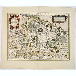
Ducatus Brunsvicensis fereq Lunaeburgensis. . .
Shows the Duchy of Braunschweig in detail with many locations. In the north it borders the Duchy of Lüneburg, in the south the Eichsfeldt, in the west to Minden, and eas...
Place & Date: Amsterdam, 1645
Selling price: $50
Sold in 2017
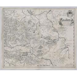
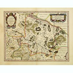
Ducatus Luneburgensis. . .
A very detailed Blaeu map centered on the Albis river, and the northern cities of Hamburg and Lunburg. Also shows Bremen. With a very decorative title cartouche. Scale ca...
Place & Date: Amsterdam, 1645
Selling price: $50
Sold in 2017
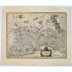
Palatinatus Bavariae.
Area north of Danube. Including the towns of Nuremberg, Ingolstadt, Regensburg, etc. Attractive title cartouche lower right portion of map.From early on Willem Jansz. Bla...
Place & Date: Amsterdam, 1645
Selling price: $30
Sold in 2023
Territorium Norimbergense.
Centered on Nuremberg the capital of the printing shop of Homann. Lower right hand corner inset plan of Nuremberg, with a key to the major buildings. The large title cart...
Place & Date: Amsterdam, 1645
Selling price: $50
Sold in 2022
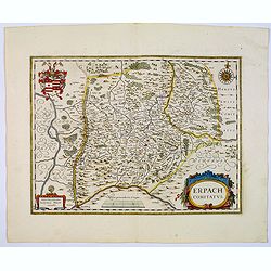
Erpach Comitatus.
Blaeu's regional map of Erpach, showing the region between the Rhine, Necar and Mayn Rivers, including Heidelberg and Erpach. Other cities include Dorfenbach, Miltenberg,...
Place & Date: Amsterdam 1645
Selling price: $25
Sold in 2023
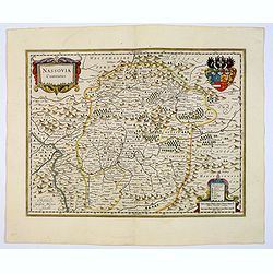
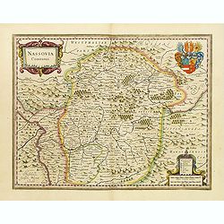
Nassovia Comitatus.
An elegantly engraved map of the region including Koblenz, Sigen and Dillenburg. The mountainous topography is graphically depicted and there is a coats of arms in the ri...
Place & Date: Amsterdam, 1645
Selling price: $50
Sold in 2019
Nova Totius Germaniae Descriptio.
This map was prepared by the German cartographer Gaspher Henneberg of Erlich. Showing central Europe, including the Netherlands, Belgium, Luxemburg, part of Poland and Hu...
Place & Date: Amsterdam, 1645
Selling price: $70
Sold in 2017
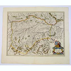
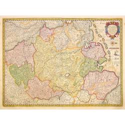
Bavaria Ducatus.
A beautiful map depicting the southern Germany province of Bavaria.Prepared by Gerard Mercator who is given credit in the attractive title cartouche. Plenty of map detail...
Place & Date: Amsterdam, 1645
Selling price: $70
Sold in 2017
Germaniae veteris typus.
A very attractive historical map of Germany that was concepted after the map of Abraham Ortelius. It shows the area from the North Sea and Baltic Sea in the north to sout...
Place & Date: Amsterdam, 1645
Selling price: $50
Sold in 2017
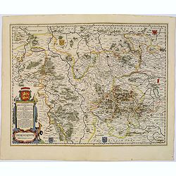
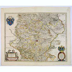
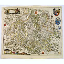
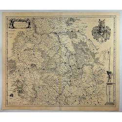
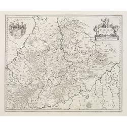
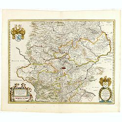
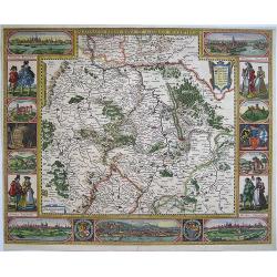
Thuringia Landgraviatus...
A beautifully detailed map of Thüringen, centered on Erfurt on the middle of the map, also showing Weimar. Embellished with a very decorative title cartouche surrounded ...
Place & Date: Amsterdam, 1645
Selling price: $80
Sold in 2018
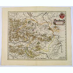
Mansfeldia Comitatus. . .
An attractive and detailed map centered on Mansfield, prepared by Tilemano Stella (1527-1589) a German cartographer who made maps of Germany and the Holy Land. Plenty of ...
Place & Date: Amsterdam, 1645
Selling price: $50
Sold in 2021
Territorium Abbatiae Heresfeldensis. 't Stift Hirszfeldt.
A large seventeenth century hand colored map of the territory of Hirschfeld, (Hersfeld / Hesse) in Germany by Blaeu. It shows the Bad Hersfeld vicinity. There is Latin on...
Place & Date: Amsterdam, 1645
Selling price: $50
Sold in 2021
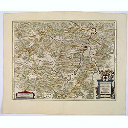
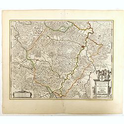
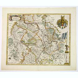
Hassia Landgraviatus.
A very attractive map centered on the town of Kassel. With a decorative title cartouche. Latin text on verso, together with a beautiful mileage scale, regional heraldic a...
Place & Date: Amsterdam, 1645
Selling price: $50
Sold in 2018
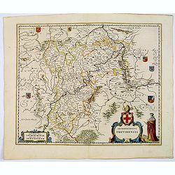
Archiepiscopatus Trevirensis.
An attractive map showing the area either side of the Moselle and Rhine rivers. Rhineland-Palatinate (Germany). Towns shown include: Trier, Kern, Gerrestein, Witlich, Cob...
Place & Date: Amsterdam, 1645
Selling price: $50
Sold in 2017
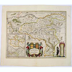
Comitatus Marchia et Ravensberg.
With an inset of Ravensberg comitatus in lower left corner. A central, decorative title cartouche with coats of arms. Mileage scale cartouche with a surveyor, lower right...
Place & Date: Amsterdam, 1645
Selling price: $80
Sold
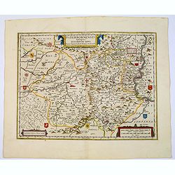
Paderbornensis Episscopatus Descriptio Nova.
An extremely detailed map centered on Paderborn. Prepared by Joannes Michael Gigas (1580-1650), a doctor, mathematician and geographer who made also maps of Osnabrug, Wes...
Place & Date: Amsterdam, 1645
Selling price: $50
Sold in 2022
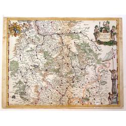
Palatinatus ad Rhenum.
Blaeu's attractive, detailed map of the Rheinpfalz, including Frankfurt and Heidelberg. It features an attractive separate coat-of-arms, a title, a scale of miles, and a ...
Place & Date: Amsterdam, 1645
Selling price: $29
Sold in 2018
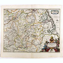
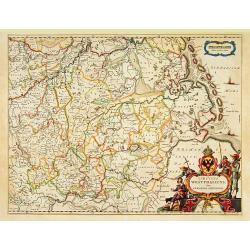
Circulus Westphalicus sive Germaniae Inferioris.
West orientated to the top, north to the right. A fine and detailed map by Blaeu of the northern part of Germany as far south to Düsseldorf, Waldeck and Paderborn.Lower ...
Place & Date: Amsterdam, 1645
Selling price: $57
Sold in 2022
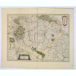
Franconia vulgo Franckenlandt.
A fine copy centered on Bamberg, Nuremberg, Würzburg, and Nuremberg, Latin text on verso. With a decorative title cartouche adorned with two cherubs.As Willem Blaeu died...
Place & Date: Amsterdam, 1645
Selling price: $25
Sold in 2023
Celeberrimi Fluvii Albis nova delineatio.
A beautiful map of part of the river Elbe and Hamburg. The River Elbe is depicted in two sections from the mouth to Hamburg. The upper map hones in on the area immediatel...
Place & Date: Amsterdam, 1645
Selling price: $50
Sold in 2018
Mansfeldia Comitatus.
A pleasing detailed map of Mansfeld, Germany. Prepared by Tilemano Stella (1527-1589) a German cartographer who made maps of Germany and the Holy Land. Published by Blae...
Place & Date: Amsterdam, 1645
Selling price: $43
Sold in 2019
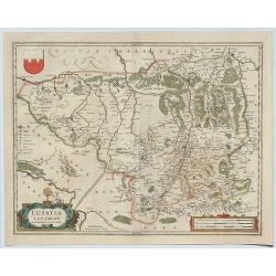
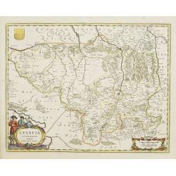
Lusatia Superior.
A detailed regional map of Lusatia, centered on Gorlitz, Germany and shows Zitta Lieba, Budissin, Seidenberg, Dresden, and Pirnaw. With two decorative cartouches and sma...
Place & Date: Amsterdam, 1645
Selling price: $250
Sold in 2019
Episcopatus Hildesiensis descriptio novissima.
A fine and attractive mid-17th century folio sheet copper engraved map of the region around the Bishopric of Hildesheim, in Lower Saxony, the map includes numerous cities...
Place & Date: Amsterdam, ca 1645
Selling price: $42
Sold in 2021
Territorium Norimbergense.
A lovely Blaeu map centered on Nuremberg the capital of the printing shop of Homann. Lower right hand corner has a delightful inset plan of Nuremberg, with a key above to...
Place & Date: Amsterdam, 1645
Selling price: $50
Sold in 2020
Monachium. München. [Munich]
City map of the city of Munich with the bavarian and the munich coats of arms, a windrose and an index.Munich-Munchen, the name of the city is derived from the Old/Middle...
Place & Date: Frankfurt, ca. 1646
Selling price: $150
Sold in 2020
Territorium Abbatiae Heresfeldensis. 't Stift Hirszfeldt
A large seventeenth century hand colored map of the territory of Hirschfeld, (Hersfeld/Hesse) Germany. Shows Bad Hersfeld vicinity. From Niewe Atlas. 23.25" x 19.75&...
Place & Date: Amsterdam, ca.1647
Selling price: $150
Sold
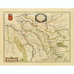
Clivia Ducatus et Ravestein Dominium
A very decorative map showing the towns of Nijmegen, Venlo, Moers and Emmerich.
Place & Date: Amsterdam, 1647
Selling price: $375
Sold
Lusatia Superior.
Attractive map of the region straddling present-day southwestern Poland, Saxony and the Czech Republic.Old city names including Lieba, Gorlitz, Dresden, Pirnaw, and Prybu...
Place & Date: Amsterdam, 1647
Selling price: $110
Sold in 2011
Territorium Abbatiae Herefeldensis - 't Stift Hirszfeldt.
Detailed map centered on Hirschfelt. Title cartouche embellished with two cherubs.
Place & Date: Amsterdam, 1647
Selling price: $21
Sold in 2018
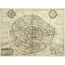
Aquisgranum, vulgo Aich Per antiqua Imperii urbs, etc.
Nice bird?s-eye view of the city of Aachen. With coats of arms of German Empire and the city. South is on top of the view. Copper etching nr. 100 in the 1648 Dutch Jansso...
Place & Date: Amsterdam, 1648
Selling price: $200
Sold in 2008
Germaniae Antiquae Adiecta.
A pleasant, little, detailed, copper engraved map of ancient Germany. It is enhanced by a strapwork cartouche featuring the face of a cherub.Philippe Briet (1601 - 1668) ...
Place & Date: Paris, 1649
Selling price: $17
Sold in 2016
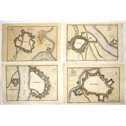
Four hand-colored fortification plans by Caspar Merian.
Four striking city and fortifications of Rhynberg, Wesel, Emmerich and Gelderen. Caspar Merian (1627-1686) was one of the most important topographical engravers of the Ba...
Place & Date: Frankfurt, 1649
Selling price: $25
Sold in 2017
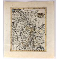
L'Allemagne Audeca du Rhin
A quaint and charming 367 year old map featuring the region of Germany and Luxemburg around the Rhine River from Lake Constance to Gueldre.
Place & Date: Paris, 1649
Selling price: $20
Sold in 2019
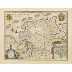
Typus Frisiae Orientalis.
Decorative map of east Frisia in Germany with the Watten islands. With inset map of the area south of Emden. Prepared by Ubbo Emmius (1547-1625).
Place & Date: Amsterdam, 1650
Selling price: $150
Sold in 2018
Germaniae Veteris typus.
Map made on the basis of the writings by the ancient authors Tacitus, Caesar, Dionysus, Ptolemy, Suetonius, Eutropius, Seneca, Plinius and Strabo.Showing an substantial p...
Place & Date: Amsterdam 1650
Selling price: $57
Sold
Ducatus Luneburgensis..
Very detailed map centered on Albis river and the cities of Hamburg and Lunburg to the north. Also showing Bremen. Very decorative title cartouche. Scale cartouche embell...
Place & Date: Amsterdam, 1650
Selling price: $220
Sold
Nassovia Comitatus.
Beautiful map of Nassau, including Coblenz, Siegen, etc.
Place & Date: Amsterdam, 1650
Selling price: $240
Sold
Wirtenberg Ducatus
Map depicting the area south of Heidelberg, including Stuttgart, Ulm, etc.. and river Danube.A beautiful coat of arms and a splendid title cartouche decorated by three ch...
Place & Date: Amsterdam, 1650
Selling price: $90
Sold
Ducatus Holsatiae nova tabula.
Beautiful map of Schleswich Holstein with two insets.
Place & Date: Amsterdam, 1650
Selling price: $230
Sold in 2011
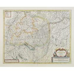
Totius Sueviae novissima tabula.
Beautiful map of Swaben, including Heidelberg, Ulm, Augsburg, Stuttgart, Basel, Zürich, Lucerne, Boden See and Lake Constance.
Place & Date: Amsterdam, 1650
Selling price: $55
Sold in 2018
Nobilis Fluvius Albis ... A Ioanne Ianssonio Amstelodami / Emporium Hamburgum
Nice mid 17th century copper engraved map of the course of the Elbe river between Hamburg and the Nordsee by J. Janssonius. With one cartouche and a cityview of Hamburg. ...
Place & Date: Amsterdam, 1650
Selling price: $220
Sold in 2009
Circulus Westphalicus sive Germaniae Inferioris.
West to the top. Detailed map of the northern part of Germany far south to Düsseldorf and Waldeck and Paderborn.Lower right imposing title cartouche with inset map of Ha...
Place & Date: Amsterdam, 1650
Selling price: $170
Sold in 2013
Nova descriptio Palatinatus Rheni.
Detailed map of Germany centered of Manheim. An extremely rare map finely engraved. The map is copied by Cornelis Danckerts II after a map by Henricus Hondius. This map a...
Place & Date: Amsterdam, ca. 1650
Selling price: $80
Sold in 2023
Palatina tus ad Rhenum.
A lovely, super-decorated, detailed map of Germany with "three" cartouches depicting "seven" putti plus a coat of arms. The cities, including Bingen, ...
Place & Date: Amsterdam, 1650
Selling price: $48
Sold in 2016
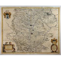
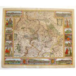
Thuringia landgraviatus...
Detailed map of Thuringa centered on Erfurd on the middle of the map. Showing also Weimar. Embellished with a very decorative title cartouche surrounded by six cherubs. I...
Place & Date: Amsterdam, 1650
Selling price: $50
Sold in 2016
Thuringia Landgraviatus.
A detailed map of Thuringa in central Germany, centred on Erfurd on the middle of the map. Showing also Weimar. Embellished with a very decorative title cartouche that is...
Place & Date: Amsterdam, 1650
Selling price: $37
Sold in 2018
Palatinatus ad rhenum.
A beautiful, detailed map of the south western province of Rhineland-Palatinate in Germany by Blaeu, one of the most famous of all map publishers.A decorative map, coveri...
Place & Date: Amsterdam, ca 1650
Selling price: $50
Sold in 2020
Das Ambt Tondern ohne Lundtoff Herde Anno 1648.
A very decorative, large, rare map of the northern coast of Germany and Denmark published by Casper Dankwerth in the famous, rare atlas "Newe Landesbeschreibung der ...
Place & Date: Hossum, 1651
Selling price: $390
Sold in 2023
Palatinatus Rheni Nova et Accurata Descriptio
Showing the Rheinland-Pfalz region. With city views of Metz and Frankfurt-am-Main, Worms, Speyer and Heidelberg, and partial views of Heidelberg Castle, the wolf fountain...
Place & Date: Amsterdam, 1652
Selling price: $2000
Sold in 2008
Palatinatus Rheni Nova et Accurata Descriptio.
Fine copper engraved map of the Rheinland-Pfalz region of Germany. With city views of Metz, Frankfurt-am-Main, Spier, Heidelberg and Worms. Smaller views of Heidelberg Ca...
Place & Date: Amsterdam, 1652
Selling price: $601
Sold in 2014
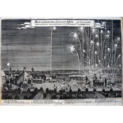
Abriß des Kayserlichen Fewerwercks Schlosses: und Barraquen. . .
Curious view of the fireworks in Nuremberg in 1650 to celebrate the peace after the Thirty Years' War. Shows the barracks and the large square with the city in the backgr...
Place & Date: Frankfurt, 1652
Selling price: $100
Sold in 2013
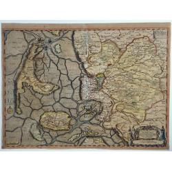
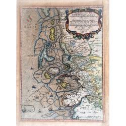
Landtcarte Von dem Nortfrieslande in dem Hertzogthumbe Sleßwig Anno 1651.
A very decorative, rare map showing part of the coastal area of the German North Sea (Nordfriesland). It includes the island of Sylt. From the rare atlas of Mejer Danckwe...
Place & Date: Husum, 1652
Selling price: $130
Sold in 2021
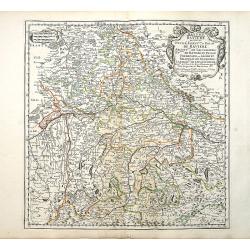
Bayern Baviere..
"Covering southern part of Germany, centered on Regensburg, Augsburg, Munich, etc. Engraved by R.Cordier Abbauil. Nicolas Sanson was to bring about the rise of Frenc...
Place & Date: Paris 1655
Selling price: $70
Sold
Nova Totius Westphaliae.
Shows the area between Maastricht, Dockum, Herschfelt and Hamburg. A fine copy in attractive colors.
Place & Date: Amsterdam 1656
Selling price: $450
Sold
Germania antiqua. . .
Fine map of ancient Germany, The Netherlands, Belgium, Switzerland, Austria and Poland. The map was first published by Tavernier and later by Mariette. This edition carri...
Place & Date: Paris, 1641-1657
Selling price: $50
Sold in 2022
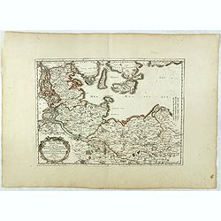
Basse partie de la Basse Saxe.. Duches de Sleswick, Holsace, Meckelenbourg..
Detailed map of the northeastern part of Germany. Nicolas Sanson was to bring about the rise of French cartography, although the fierce competition of the Dutch would las...
Place & Date: Paris, 1657
Selling price: $50
Sold in 2017
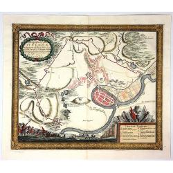
Ichnogeraphia Oppidi Itzehoae.
Itzehoe Germany town plan with course of the Stoer River. The map is copperplate engraved with hand coloring and shows the hinterland of Itzehoe during the Swedish Thirt...
Place & Date: Stockholm , 1657
Selling price: $27
Sold in 2017
[No tile - Bavaria]
Charming little map of part of Souther Germany, including de river Danube, made by Gabriel Bucelin (1599-1681). Bucelin was a Swiss genealogist and an author of several b...
Place & Date: Ulm, Johannes Görlin, 1659
Selling price: $30
Sold in 2011
Civitatis Imp. Lindaviensis Territorium.
Hand-colored copper engraved map of Lindau (Bodensee), Germany. Two beautiful strapwork cartouches with scale cartouche with two putti holding it. Also two pillars dat3ed...
Place & Date: Amsterdam, 1659
Selling price: $28
Sold in 2017
Tabula Prussiae eximia cura conscripta per Casparum Henneberch ..
Very fine and uncommon map of Prussia, prepared by Caspar Henneberger (1592-1600) in 1576. Engraved by Abraham Goos. In upper left corner inset view of Köningsberg (Kali...
Place & Date: Amsterdam, 1660
Selling price: $500
Sold in 2013
Carte generalle d'allemaigne nouvellement misse en françois et Ampliffiée de tous les Royaumes. . .
Attractive and rare map of Germany, the Low Countries, Austria, Switzerland and part of Poland.
Place & Date: Paris, 1632-1660
Selling price: $50
Sold in 2017
Palatinatus Rheni.
Striking map of the Palentine region of Germamy featuring the cities of Worms, Heydleberg and Kobelberg. A wonderful coat of arms cartouche with three lions decorates the...
Place & Date: Frankfurt, 1660
Selling price: $69
Sold in 2015
Germania.
Small map covering all of central Europe. The map is engraved with detail of rivers, mountains, and forests. Decorative title cartouche. At left of Holland a sailing ship...
Place & Date: Amsterdam 1661
Selling price: $70
Sold
Ducatus Sonderborg cum adiacentibus Territoriis Alssen, Sundewitt, et Luxburgh.
With an inset of the castle and plan of Sonderborg. Engraved by the brothers Hus and Petersen. Prepared by Johannes Mejer ( 1606-1674), who surveyed the duchies of Schles...
Place & Date: Amsterdam, 1662
Selling price: $300
Sold in 2011
Ducatus Sleswicum sive Iutia Australis.
Map of the area of Schleswig from Blaeu's Major atlas. Latin text on verso.
Place & Date: Amsterdam, 1662
Selling price: $200
Sold in 2009
Ducatus Sleswici Pars Borealis.
Decorative map of North Schleswig from Blaeu's Major atlas. Latin text on verso.
Place & Date: Amsterdam, 1662
Selling price: $150
Sold in 2010
Ducatus Slewici pars Meridionalis.
South Schleswig from Blaeu's Major atlas.
Place & Date: Amsterdam, 1662
Selling price: $170
Sold in 2010




![Monachium. München. [Munich]](/uploads/cache/84272-250x250.jpg)



![[No tile - Bavaria]](/uploads/cache/26977-250x250.jpg)
