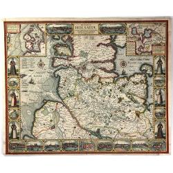
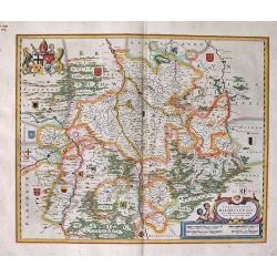
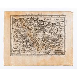
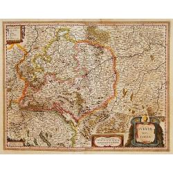
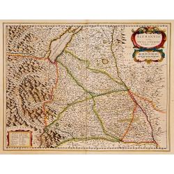
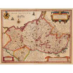
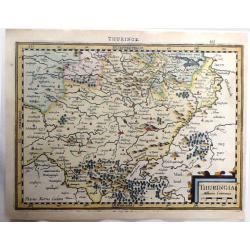
Thuringia, Milliaria Communia.
Fine hand colored, copperplate map originally by Gerard Mercator, republished by Cloppenburgh in 1630 in "ATLAS MINOR". Engraved by Pieter Van Der Keere (Petrus...
Place & Date: Amsterdam, 1630
Selling price: $111
Sold in 2016
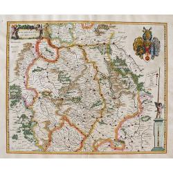
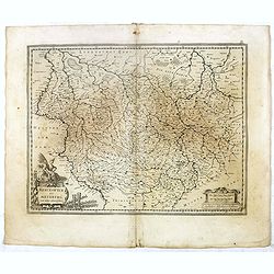
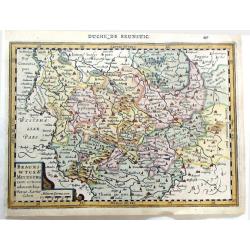
Braunswyck & Meydburg Cum Ceteris Adiacentibus.
Fine hand colored, copperplate map originally by Gerard Mercator, re-published by Cloppenburgh in 1630 in "ATLAS MINOR". Engraved by Pieter Van Der Keere (Petru...
Place & Date: Amsterdam, 1630
Selling price: $20
Sold in 2019
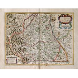
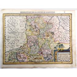
Limburgensis Ducatus Nova Descriptio, Auct. Aegidio Martini.
Fine hand colored, copperplate map originally by Gerard Mercator, re-published by Cloppenburgh in 1630 in "ATLAS MINOR". Engraved by Pieter Van Der Keere (Petru...
Place & Date: Amsterdam, 1630
Selling price: $45
Sold in 2019
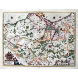
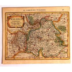
Waldeck Comitatus
Published in the first Cloppenburgh edition of Gerhard Mercator's 'Atlas Minor' in 1630. This is the first Cloppenburgh edition with new engraved maps in a larger format....
Place & Date: Amsterdam, 1630
Selling price: $81
Sold in 2015
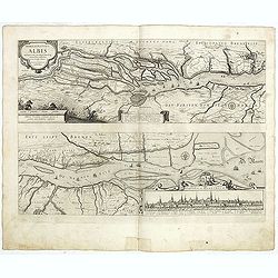
Nobilis fluvius Albis ... a J. Janssonio. [With a View of] Emporium Hamburgum.
This very attractive map of the area of the course of the Elbe river from Hamburg to its mouth on the North Sea. Hamburg and its many small islands are in the left of the...
Place & Date: Amsterdam, after 1630
Selling price: $60
Sold in 2016
Ducatus Holsatiae, Summa Diligentia Accurataque Censura Noviter.
A beautiful, rare, decorative “Carte a Figures” map of Holstein, Germany by Johannes Visscher of Amsterdam. It was engraved by Abraham Goos, and shows the former Duch...
Place & Date: Amsterdam, 1630
Selling price: $700
Sold in 2016
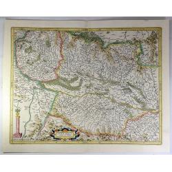
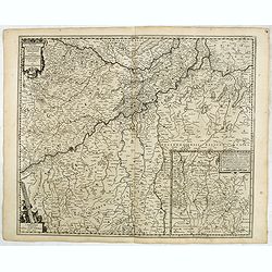
Alsatia Superior.
A pleasant colored map of the Alsace from the Mercator-Hondius "Atlas Minor". Covering the area between Strasbourg and Basel. In the centre is the Rhine River a...
Place & Date: Amsterdam, 1630
Selling price: $25
Sold in 2018
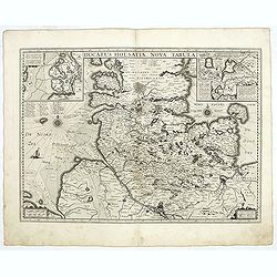
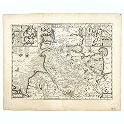
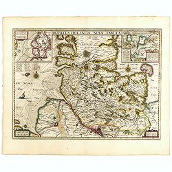
Ducatus Holsatiae nova tabula.
Very detailed map of Northern Germany centered on Hamburg and Lubeck. With two insets.
Place & Date: Amsterdam, 1629-1630
Selling price: $85
Sold in 2020
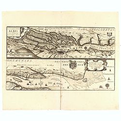
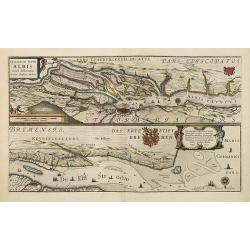
Nobilis fluvius Albis..
Two maps. The first one centered on the city of Hamburg, showing the Albis river. The second one decorated with a coat of arms and seventeen keys for the city.
Place & Date: Amsterdam, 1629-1630
Selling price: $75
Sold in 2019
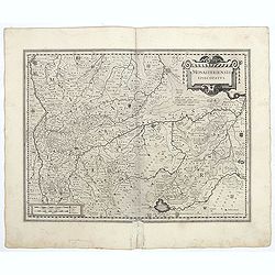
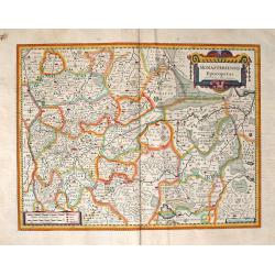
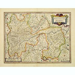
Monasteriensis Episcopatus.
A very detailed map of Germany centered on Munster and Linge. Also showing Wessel to the top of the map and Oldenburg to the right. North to the right. The map is adorned...
Place & Date: Amsterdam, 1629-1630
Selling price: $50
Sold in 2021
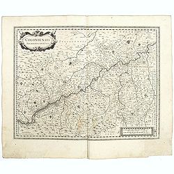
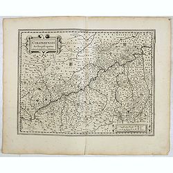
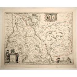
Coloniensis archiepiscopatus.
Detailed map centered on the river Rhine and the city of Cologn, punctuated by several coats of arms.
Place & Date: Amsterdam, 1629-1630
Selling price: $50
Sold in 2021
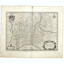
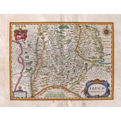
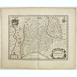
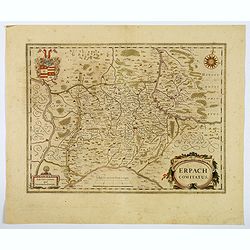
Erpach comitatus.
A detailed map centered on the german country of Erpach. Also showing the town of Heidelberg in left lower part and including the river Rhine on the left side. A very dec...
Place & Date: Amsterdam, 1629-1630
Selling price: $50
Sold in 2021
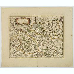
Saxonia Inferior et Meklenborg Duc.
A map of the northern German region of Lower Saxony, showing the region on either side of the Elbe River. Some larger cities are highlighted in red, Hamburg, Lunenburg, B...
Place & Date: Amsterdam, 1630
Selling price: $28
Sold in 2021
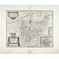
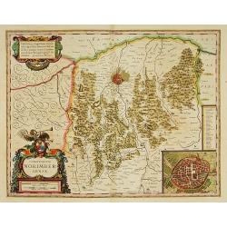
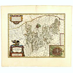
Territorium Norimbergense.
Very beautifull map centered on Nuremberg and its surrounding countryside. With an inset giving the detailed plan of the city, capital of the printing shop of Homann. A k...
Place & Date: Amsterdam, 1629-1630
Selling price: $150
Sold in 2021
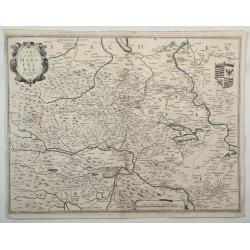
Comitatus Mansfeldia.
A copper engraved map of Saxony-Anhalt by Hondius. It features a decorative cartouche, a coats-of-arms and a mileage scale. Showing the area between Halle a. d. Saale, As...
Place & Date: Amsterdam, 1630
Selling price: $26
Sold in 2022
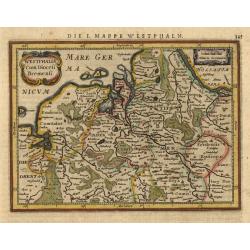
Westphalia Cum Diocesi Bremensi.
Map depicting a part of Germany with Bremen and Emden. Decorated with a small strapwork title cartouche. German text on verso.
Place & Date: Amsterdam, 1631
Selling price: $60
Sold
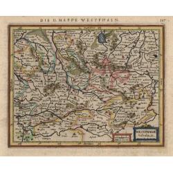
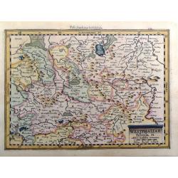
Westphalia tabula II
This little map covers part of North Rhein-Westphalia north of the Lippe River, with southern portions of Lower Saxony as far as Meppen and Diepholz. The strapwork title ...
Place & Date: Amsterdam, 1631
Selling price: $50
Sold
Westphaliae, Tabula II, Miliaria Westfalica Communia.
Fine map by Gerard Mercator from "ATLAS MINOR". Engraved by Peter Kaerius in 1632 in Amsterdam.
Place & Date: Amsterdam, 1632
Selling price: $19
Sold in 2016
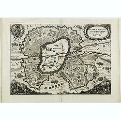
Castra Suecica ad Norimbergam. Kön. Schwedische Läger zu Nürnberg.
Nice print published by Mathias Merian publishing house. The Merian Journal presents the comprehensive defensive measures ordered by the Swedish king Gustav Adolf. Nuremb...
Place & Date: Frankfurt, 1632
Selling price: $80
Sold in 2018
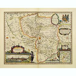
Osnabrugensis episcopatus.
A beautiful map of Münster centered on the city of Osnabruck. Prepared by Joannes Michael Gigas (1580-1650+), a doctor, mathematician and geographer. Showing an inset wi...
Place & Date: Amsterdam, 1633
Selling price: $100
Sold in 2017
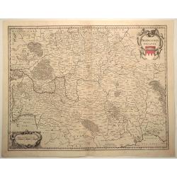
Franconia Ducatus.
Fine detailed map of Franconia in southern Germany. Engraved by Henricus Hondius in 1633 and published in the “Atlas Theater du Monde” by Jan Janssonius. Features two...
Place & Date: Amsterdam, 1633
Selling price: $230
Sold in 2019
Germania.
Copper engraved map of the German empire, which stretches from Holland to Poland and from Switzerland to Hungary. Strapwork title and scale of miles cartouche with a sail...
Place & Date: Amsterdam 1634
Selling price: $60
Sold
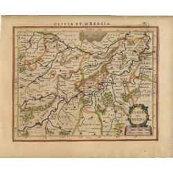
Cleve et Muers.
Map depicting a part of Germany with Coln and Cleve. Decorated with a small strapwork title cartouche. Latin text on verso.
Place & Date: Amsterdam 1634
Selling price: $45
Sold
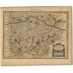
Bavaria Ducatus.
Map depicting a part of Germany. Decorated with a small strapwork title cartouche. Latin text on verso.
Place & Date: Amsterdam 1634
Selling price: $35
Sold
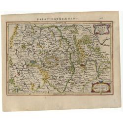
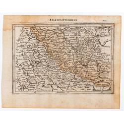
Palatinatus Rheni.
Map depicting a part of Germany with Heidelberg. Decorated with a small strapwork title cartouche. Latin text on verso.
Place & Date: Amsterdam 1634
Selling price: $50
Sold
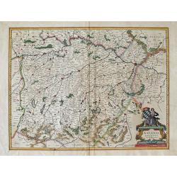
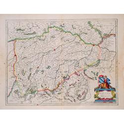
BAVARIA DUCATUS.
Beautiful map of Bavaria, based on Mercator's earlier map of this region.Willem Janszoon, or Willem Jansz Blaeu (1571-1638) as he is more commonly known, was one of the m...
Place & Date: Amsterdam, 1634
Selling price: $95
Sold in 2013
Hildesheim: Episcopatus HILDESIENSIS Descriptio ...
Highly attractive map. First appearance in an atlas of Blaeu's folio map of Hildesheim, Hartz Mountains, etc. with numerous attractive elements. Willem Janszoon, or Wil...
Place & Date: Amsterdam, 1634
Selling price: $100
Sold in 2013
PALATINATUS AD RHENUM
Attractive map of the Rheinpfalz and the lower Rhine, with the Rhine River running top to bottom through the center of the map, shows major cities such as Heidelberg, wit...
Place & Date: Amsterdam, 1634
Selling price: $110
Sold in 2013
Alemannia Sive Sueuia Superior. . .
Highly detailed map of the region of upper Swabia centered on Ulm. Willem Janszoon, or Willem Jansz Blaeu (1571-1638) as he is more commonly known, was one of the most ...
Place & Date: Amsterdam, 1634
Selling price: $51
Sold in 2014
Brandenburg, Pommern, Mecklenburg, with Berlin : BRANDEBURGUM MARCHIONATUS Ducatibus Pomeraniae et Mekelenburg. Amsterdami Apud Guiljelmum et Ioannem Blaeu.
Highly attractive and detailed map of Brandenburg, Pommern, Mecklenburg, with Berlin.The example we have is from the early 1634 German edition of Willem Blaeu's Novus Atl...
Place & Date: Amsterdam, 1634
Selling price: $185
Sold in 2012
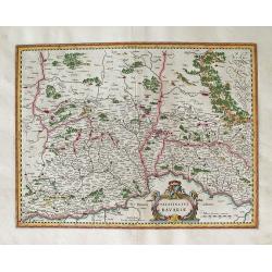
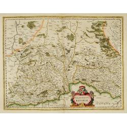
PALATINATUS BAVARIA.
Attractively colored map of the Oberpfalz, showing a large section of southwestern Germany. The Palatinate, historically also Rhenish Palatinate, and at one time in union...
Place & Date: Amsterdam, 1634
Selling price: $65
Sold in 2014
ERPACH Comitatus.
This is Blaeu's map of Heidelberg, centered on Eparch and showing part of the River Rhine and River Main with the towns of Gensheim, Worms, Miltenberg and Oldenburg. Bla...
Place & Date: Amsterdam, (1629) 1634
Selling price: $51
Sold in 2014
Monasteriensis Episcopatus.
Blaeu's fine engraved and detailed folio map of Münster. Blaue purchased the copperplate that made this map from the widow of Jodocus Hondius Jr. in 1629. This...
Place & Date: Amsterdam, (1629) 1634
Selling price: $80
Sold in 2014
Ducatus Holsatiae nova tabula.
A finely engraved map centered on the area north of Hamburg and Lubeck with two lovely inset maps and embellished with compass roses, rhumb lines and a ship.Originally en...
Place & Date: Amsterdam, 1634
Selling price: $50
Sold in 2018
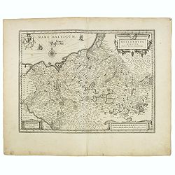
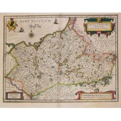
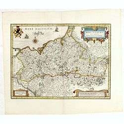
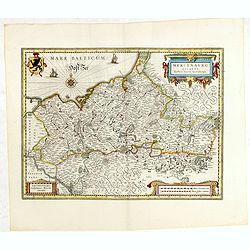
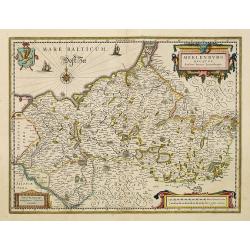
Mecklenburg ducatus. Auctore Ioanne Laurenbergio.
Finely engraved map with a very decorative title cartouche adorned with a chain of fruits. A ship is sailing on the Baltic near a wind rose. In the left-hand corner a loc...
Place & Date: Amsterdam, 1634
Selling price: $50
Sold in 2021
Nova Totius Germaniae Descriptio.
A finely engraved map of the German Empire, including the Netherlands, Germany, Switzerland, Austria, Bohemia, Moravia, Poland and the Baltic Countries. In partial color ...
Place & Date: Amsterdam, 1634
Selling price: $50
Sold in 2018
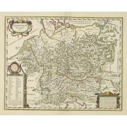
Germaniae veteris typus.
This very attractive and historical map of Germany was concepted after the map of Abraham Ortelius. It shows the area from the North Sea, Poland and Baltic Sea in the nor...
Place & Date: Amsterdam, 1634
Selling price: $50
Sold in 2022
Coloniensis Archiepiscopatus.
Originally engraved for Jodocus Hondius II, at his death in August 1629 this map was, among 39 other copper plates,purchased by Willem Blaeu who deleted Hondius' name and...
Place & Date: Amsterdam, 1634
Selling price: $50
Sold in 2022
Erpach comitatus.
Originally engraved for Jodocus Hondius II, at his death in August 1629 this map was, among 39 other copper plates,purchased by Willem Blaeu who deleted Hondius' name and...
Place & Date: Amsterdam, 1634
Selling price: $20
Sold in 2016
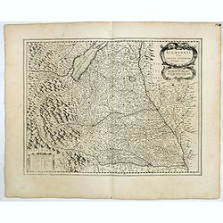
Alemania sive suevia superior
Detailed map of the Baden-Württemberg region filled with detailed information and a graphic depiction of the mountains to the east. With the Boden See in upper left corn...
Place & Date: Amsterdam, 1634
Selling price: $50
Sold in 2021
Palatinatus Bavariae.
Area north of Danube. Including the towns of Nuremberg, Ingolstadt, Regensburg, etc. Attractive title cartouche lower right portion of map.From early on Willem Jansz. Bla...
Place & Date: Amsterdam, 1634
Selling price: $50
Sold in 2021
Paderbornensis Episcopatus Descriptio Nova.
Originally engraved for Jodocus Hondius II, at his death in August 1629 this map was, among 39 other copper plates,purchased by Willem Blaeu who deleted Hondius' name and...
Place & Date: Amsterdam 1634
Selling price: $50
Sold in 2021
Monasteriensis Episcopatus.
Originally engraved for Jodocus Hondius II, at his death in August 1629 this map was, among 39 other copper plates,purchased by Willem Blaeu who deleted Hondius' name and...
Place & Date: Amsterdam, 1634
Selling price: $50
Sold in 2019
Celeberrimi Fluvis Albis nova delineatio.
Originally engraved for Jodocus Hondius II, at his death in August 1629 this map was, among 39 other copper plates,purchased by Willem Blaeu who deleted Hondius' name and...
Place & Date: Amsterdam, 1634
Selling price: $90
Sold in 2020
Ducatus Iuliacensis, Cliviensis, Montensis. et Comitatus Marciae et Rapens-Bergae finitimaeque eis Regiones de novo accurate in lucem editae. per Nicolaum I. Piscatorem. t'Amsterdam Gedruckt bij Claes Ianß. Visscher. Anno 1633.': .
Claes Visscher map of the German Duchies Jülich, Cleves, Berg with the County of Mark. - Bottom right is an inset map the country around Ravensberg. Top left is a pretty...
Place & Date: Amsterdam, 1634
Selling price: $200
Sold in 2018
Celeberrimi Fluvis Albis nova delineatio.
Originally engraved for Jodocus Hondius II, at his death in August 1629 this map was, among 39 other copper plates,purchased by Willem Blaeu who deleted Hondius' name and...
Place & Date: Amsterdam, ca. 1634
Selling price: $150
Sold in 2016
BRAUNSWYCK et MEYDBURG cum terris adjacentibus.
Map centered on Hildesheim, Wolffenbütel, Halberstadt, etc, engraved by E.S. Hammersveldt and Rogeri for Johannes Janssonius.
Place & Date: Amsterdam, 1634
Selling price: $4
Sold in 2016
Palatinus Rheni.
Single page map of the region surrounding Mannheim. Several old light pencil annotations. Latin text on verso.
Place & Date: Amsterdam, J.Janssonius, 1628-1634
Selling price: $21
Sold in 2020
Brandeburg et Pomerania.
Single page map of north eastern Germany.
Place & Date: Amsterdam, J.Janssonius, 1628-1634
Selling price: $50
Sold in 2023
Sueviae nova tabula
Beautiful map of Swaben, including Ulm, Augsburg, Stuttgart, Zürich, Lucerne and Lake Constance.Originally, we owe the first edition of this map to Jodocus Hondius. On J...
Place & Date: Amsterdam, 1635
Selling price: $75
Sold in 2016
Alemania sive suevia superior
Map of Upper Schwabenland, with the BodenSee in upper left corner. French text edition. Two colored title and key cartouches.
Place & Date: Amsterdam, 1635
Selling price: $50
Sold in 2016
Meklenburg Ducatus.
Finely engraved map with a very decorative title cartouche adorned with a chain of fruits. A ship is sailing on the Baltic near a wind rose. In the left-hand upper part, ...
Place & Date: Amsterdam, 1635
Selling price: $75
Sold in 2017
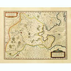
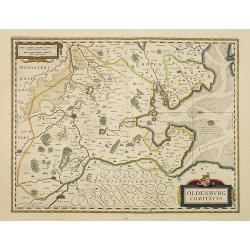
Oldenburg Comitatus.
Willem Blaeu's attractive map of Oldenburg, also depicting Bremen. From the French edition of Willem Blaeu's atlas "Theatrum".
Place & Date: Amsterdam, 1635
Selling price: $50
Sold in 2022
Monasteriensis Episcopatus.
A very detailed map of Germany centered on Munster and Linge. Also showing Wessel to the top of the map and Oldenburg to the right. North to the right. The map is adorned...
Place & Date: Amsterdam, 1635
Selling price: $50
Sold in 2021
Germaniae veteris typus
A very attractive historical map of Germany was concepted after the map of Abraham Ortelius. It shows the area from the North Sea and Baltic Sea in the north to south of ...
Place & Date: Amsterdam, 1635
Selling price: $200
Sold
Nova totius germaniae descriptio.
Detailed and finely engraved map of Germany, Poland, Netherlands, Belgium, Austria and a little part of Italy and Croatia. Embellished with an enormous title cartouche al...
Place & Date: Amsterdam, 1635
Selling price: $200
Sold in 2018
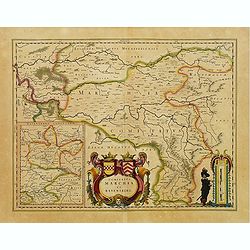
Comitatus Marchia et Ravensberg.
With an inset of Ravensberg comitatus. Decorative title cartouche with coats of arms. Scale cartouche with a surveyor.
Place & Date: Amsterdam, 1635
Selling price: $50
Sold in 2014
Meklenburg Ducatus. Auctore Ioanne Laurenbergio.
Willem Blaeu, founder of the famous publishing firm. Originally publishing pilot-guides, he issued his first atlas, 'Atlantis Appendix', in 1630, followed by his "Th...
Place & Date: Amsterdam, 1635
Selling price: $250
Sold
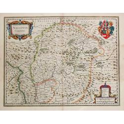
Nassovia Comitatus.
Willem Blaeu, founder of the famous publishing firm. Originally publishing pilot-guides, he issued his first atlas, 'Atlantis Appendix', in 1630, followed by his "Th...
Place & Date: Amsterdam, 1635
Selling price: $300
Sold in 2011
Palatinatus Bavariae.
Area north of Danube. Including the towns of Nuremberg, Ingolstadt, Regensburg, etc.
Place & Date: Amsterdam, 1635
Selling price: $50
Sold in 2022
Territorium Norimbergense.
Centered on Nuremberg the capital of the printing shop of Homann. Lower right hand corner inset plan of Nuremberg. Very fine.As Willem Blaeu died in 1638 most of his maps...
Place & Date: Amsterdam, 1635
Selling price: $150
Sold in 2015
Bavaria Ducatus.
Willem Blaeu, founder of the famous publishing firm. Originally publishing pilot-guides, he issued his first atlas, 'Atlantis Appendix', in 1630, followed by his "Th...
Place & Date: Amsterdam, 1635
Selling price: $54
Sold in 2020
Ducatus Holsatiae nova tabula.
Beautiful map of Schleswich Holstein covering the region from Hussum till Hamburg, with numerous place-names of cities, towns, villages, forests and castles. With two ins...
Place & Date: Amsterdam, 1635
Selling price: $100
Sold in 2016
Territorium Norimbergense.
Centered on Nuremberg the capital of the printing shop of Homann. Lower right hand corner inset plan of Nuremberg. Very fine.As Willem Blaeu died in 1638 most of his maps...
Place & Date: Amsterdam, 1635
Selling price: $55
Sold in 2015
Meklenburg Ducatus...
Finely engraved map with a very decorative title cartouche adorned with a chain of fruits. A ship is sailing on the Baltic near a wind rose. In the left-hand upper part, ...
Place & Date: Amsterdam, 1635
Selling price: $40
Sold in 2015
Episcopatus Hildesiensis Descriptio Novissima.
A fine and attractive mid-17th century folio sheet copper engraved map of the region around Hildesheim, in Lower Saxony. It includes numerous cities and corresponding coa...
Place & Date: Amsterdam, 1635
Selling price: $17
Sold in 2018
Meklenburg Ducatus...
Finely engraved map with a very decorative title cartouche adorned with a chain of fruits. A ship is sailing on the Baltic near a wind rose. In the left-hand upper part, ...
Place & Date: Amsterdam, 1635
Selling price: $50
Sold in 2020
Erpach Comitatus.
An elegantly engraved Dutch map of the early seventeenth century of the region including Heidelberg, centered on Eparch and showing part of the River Rhine and River Main...
Place & Date: Amsterdam, ca 1635
Selling price: $17
Sold in 2021
Iulacensis et Montensis Ducatus de Hertoghdomen Gulick en Berghe.
A fine map showing the Duchies of Julich and Berg on both sides of the Rhine River between Bonn and Wesel. Centered on Dusseldorf and reaching to Maastricht in the west a...
Place & Date: Amsterdam, 1635
Selling price: $30
Sold in 2019
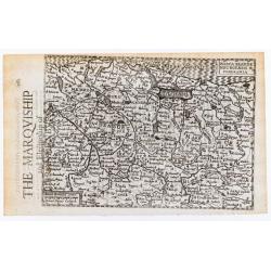
Marca Brandenburgensis & Pomerania. / The Marquiship and Electorship of Brandenburg.
Single page map showing part of north eastern Germany and Poland. English text on verso. From "Historia Mundi or Mercator's Atlas ..."
Place & Date: London, T.Cotes for M. Sparkes, 1635
Selling price: $60
Sold in 2023
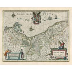
Mare Bal Ticum. Pomeraniae Ducatus Tabula Auctore Eilharo Lubino
This handsome decorative map by Willem Blaeu depicts the region on the south shore of the Baltic Sea called Pomerania, which is Poland’s entire Baltic coast and Germany...
Place & Date: Amsterdam, 1635
Selling price: $125
Sold in 2023
Germaniae nova et accurata delineatio.. 1631.
Striking example of Hondius' map of the German Empire, extending from the Low Countries in the Northwest to the Baltic and Russia in the Northeast and Italy and the Balka...
Place & Date: Amsterdam 1636
Selling price: $300
Sold
Germaniae nova et accurata delineatio.. 1631.
This scarce edition with French text verso is signed and dated 1631. This fine engraving shows Germany extending from the Low Countries to Russia,Poland and south as far ...
Place & Date: Amsterdam, 1636
Selling price: $250
Sold in 2013
Albis Fluvius Germaniae celebris A Fontibus Ad Ostia. . .
A nice original colored map showing the course of the Elbe River in Germany from the North Sea to Prague. By the famous Dutch cartographer Jan Jansson. The map Includes t...
Place & Date: Amsterdam, 1636
Selling price: $50
Sold in 2019
Germaniae veteris typus
A very attractive historical map of Germany was concepted after the map of Abraham Ortelius. It shows the area from the North Sea and Baltic Sea in the north to south of ...
Place & Date: Amsterdam, 1638
Selling price: $55
Sold in 2016
Prussiae nova tabula.
As indicated in the title cartouche, the map was prepared by the German cartographer Gaspar Henneberg of Erlich.As Willem Blaeu died in 1638 most of his maps are actually...
Place & Date: Amsterdam, 1638
Selling price: $750
Sold in 2010
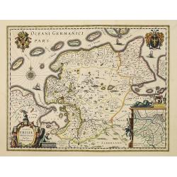
Typus Frisiae Orientalis. . .
Decorative map of east Friesland in Germany with the Watten islands. With inset map of the area south of Emden.Prepared by Ubbo Emmius (1547-1625).As Willem Blaeu died in...
Place & Date: Amsterdam, 1638
Selling price: $170
Sold in 2010
Oldenburg Comitatus.
Willem Blaeu's attractive map of Oldenburg, also depicting Bremen. As Willem Blaeu died in 1638 most of his maps are actually published by his son Joan. This maps carries...
Place & Date: Amsterdam, 1638
Selling price: $50
Sold in 2016
Celeberrimi Fluvis Albis nova delineatio.
Beautiful map of the river Elbe and Hamburg. French text on verso.Originally engraved for Jodocus Hondius, at his death on August 18, 1629, this among 39 other Hondius co...
Place & Date: Amsterdam, 1638
Selling price: $280
Sold in 2013
Meklenburg Ducatus.
Finely engraved map with a very decorative title cartouche adorned with a chain of fruits. A ship is sailing on the Baltic near a wind rose. In the left-hand upper part, ...
Place & Date: Amsterdam, 1638
Selling price: $75
Sold in 2021
![Nobilis fluvius Albis ... a J. Janssonio. [With a View of] Emporium Hamburgum.](/uploads/cache/37563-250x250.jpg)
