Browse Listings in Europe > France > France Provinces
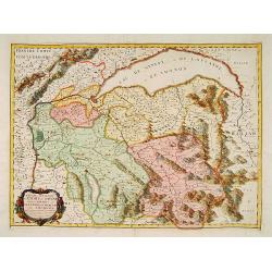
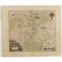
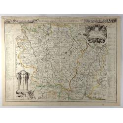
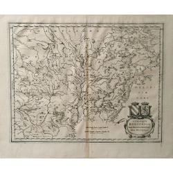
Urivsque Burgundiae tum Ducatus tum Comitatus Descriptio.
Fine copper engraved map by Matthäus Merian from “Neuwe Archontologia Cosmica” Published in Frankfurt in 1646. The map shows the French region of Burgundy with the...
Place & Date: Frankfurt, 1655
Selling price: $20
Sold in 2018
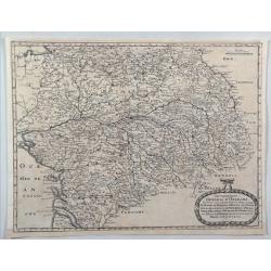
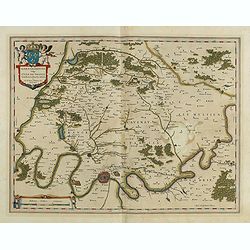
Gouvernement General D'Orleans.
A nice regional map of France showing the area around Tours and Orleans. From M. Merian's "Topographiae Galliae".Matthäus Merian the Elder (1593-1650) studied ...
Place & Date: Frankfort, 1655
Selling price: $9
Sold in 2020
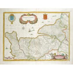
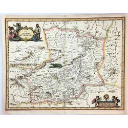
Normandia Ducatus.
Very decorative map of the Normandy coast. The map shows details of even the tiniest villages and prominently depicts the fortified cities. Numerous ships, fishing boats ...
Place & Date: Amsterdam, 1656
Selling price: $225
Sold in 2012
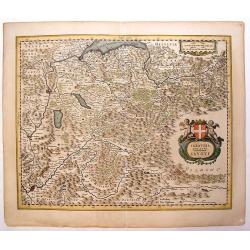
Sabaudia Ducatus Savoye
Lovely, very detailed map of Savoy with two cartouches: An ornamental title cartouche with two putti and a coat of arms and a strapwork scale cartouche. Features the two ...
Place & Date: Amsterdam, 1656
Selling price: $200
Sold in 2013
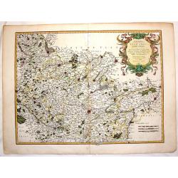
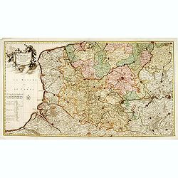
Atrebates. Evesche d'Arras Comte d'Artois.
Fine copper engraved map of the French department of Nord-Pas-de-Calais. The map includes the cities of Douai, Lens, Cambrai and Bapaume. Very decorative ribboned title c...
Place & Date: Paris, 1656
Selling price: $31
Sold in 2016
Quercy olim Cadurcium.
Decorative map east to the top of the French province in the south-east of the country. With Cahors and the river Lot in the center.
Place & Date: Amsterdam, 1656
Selling price: $250
Sold in 2020
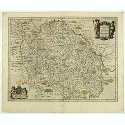
Borbonium Ducatus - Bourbonnois.
A fine map of the Bourbon in central France with nice detail of cities, villages, forests and rivers. Decorated with two beautiful cartouches flanked by musketeers and pu...
Place & Date: Amsterdam, 1656
Selling price: $21
Sold in 2019
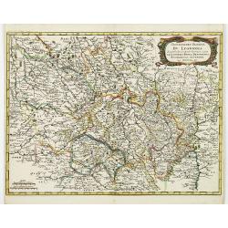
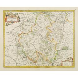
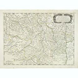
Gouvernement General du Lyonnois. . .
Very detailed map of the area Limonges and Lyon in France. Showing also Thiers, Vichy, Bourges, Vallance, Vienne. From M. Merian's famous "Topographia".
Place & Date: Frankfurt, 1657
Selling price: $35
Sold in 2011
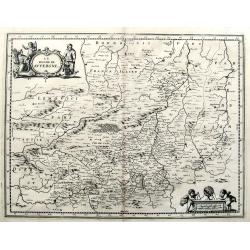
Le Duche de Auvergne.
A quaint map of the Auvergne, printed in Frankfurt by Caspar Merian in 1657. With a decorative title cartouche featuring three peasants from the region. A striking scale ...
Place & Date: Frankfurt, 1657
Selling price: $22
Sold in 2016
Le Duche de Auvergne.
A fine 17th century copper engraved map after Jansson, published in Martin Zeiller's Topographia Galliae. Very detailed, filled with towns, areas, rivers, woods, etc. Wit...
Place & Date: Frankfurt, c1657
Selling price: $13
Sold in 2019
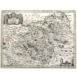
Bituricum Ducatus / Duche de Berri.
A fine copper engraved map published in Martin Zeiller's Topographia Galliae. Very detailed, filled with towns, areas, rivers, woods, etc.
Place & Date: Frankfurt, ca. 1657
Selling price: $17
Sold in 2019
Ager Parisiensis Vulgo L'Isle de France. . .
A very decorative map showing the environs north of Paris with beautiful cartouches.
Place & Date: Amsterdam, 1658
Selling price: $250
Sold in 2016
Champaigne et Brie etc.
A good engraved map of Champagne-Ardennes area, embellished with decorative title cartouche and scale cartouche with putti and surveying instruments. Paris, Metz, Reims, ...
Place & Date: Amsterdam, 1660
Selling price: $120
Sold in 2011
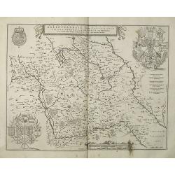
Galloflandria, in qua Castellaniae Lilana, Duacena, & Orchiesia, cum dependentibus, necnon Tornacum, & Tornacesium. Auctore Martino Doue Gallo-Flandro.
Map of French Flanders. Blank on verso. A finely engraved map from the most important Dutch map publishers of the 17th century. The plate was acquired by the Blaeu's from...
Place & Date: Amsterdam, 1660
Selling price: $75
Sold in 2019
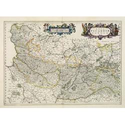
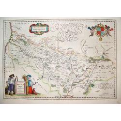
Nova Picardiae Tabula.
Detailed map of the northern part of France, including the area east of Calais till the Ardennes. Published in Joan Blaeu's "Atlas Maior".More about Joan Blaeu ...
Place & Date: Amsterdam, 1660
Selling price: $500
Sold
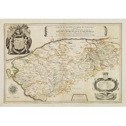
Carte du Duché et Pairie de Thouars dediée a Tres-Haut et Tres Puissant Prince Henri-Charles de la Tremoille . . .
Scarce map of the Touars Duchy with a beautiful coat of arms upper left and a title cartouche on center right. A key and a scale cartouche lower right. With a dedication ...
Place & Date: Paris, 1660
Selling price: $250
Sold in 2013
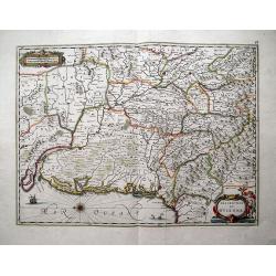
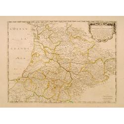
Description du Guienne.
Map of the Gascogne region, Aquitaine, including the coast of the Bay of Biscay, Bordeaux, Bayonne, San Sebastian, Bergerac, and Toulouse. North orientated to the left. ...
Place & Date: Amsterdam, c1660
Selling price: $64
Sold in 2013
Comitatuum Boloniae et Guines Descriptio. / Bolonia & Guines Comitatus. / Territorium Metense . .
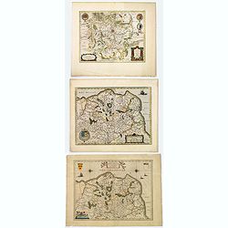
[Three maps] The first of this handsome set of maps has west is orientated to the top. Very fine copper engraved map by one of the acknowledged masters of seventeenth cen...
Place & Date: Amsterdam, ca. 1620 - 1660
Selling price: $70
Sold in 2018
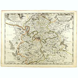
Diocese, Prevoste, et Eslection de Paris . . .
A good engraved map of Ile de France region, centered on Paris.
Place & Date: Paris, 1660
Selling price: $75
Sold in 2020
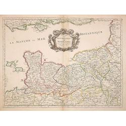
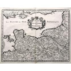
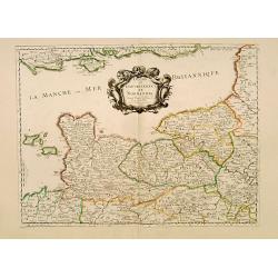
Duche et Gouvernement de Normandie. . .
Fine map of Normandy.This edition carries the date 1661, engraved by R.Cordier.Nicolas Sanson was to bring about the rise of French cartography, although the fierce compe...
Place & Date: Paris, 1661
Selling price: $300
Sold
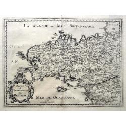
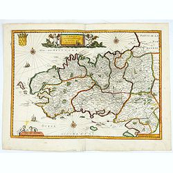
Duche et Gouvernement de Bretagne.
An unusual map published shortly after the very similar map by Sanson. Very detailed, filled with place names, rivers, woods, islands, etc. From Martin Zeiller's Topograp...
Place & Date: Frankfurt, ca 1661
Selling price: $81
Sold in 2019
Duche et Gouvernement de Normandie.
A fine map published in Martin Zeiller's Topographia Galliae. Very detailed, filled with place names, rivers, woods, islands, etc. Extends just until Paris, includes the ...
Place & Date: Frankfurt, ca 1661
Selling price: $82
Sold in 2019
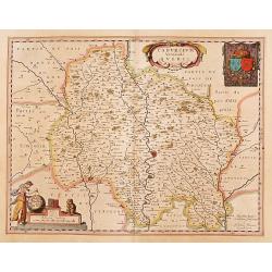
Cadurcium vernaculé Querci.
Detailed map of a province of France by one of the most famous map publisher. Centered on Cahors. In the lower left corner, a colored scale cartouche surmounted by a monk...
Place & Date: Amsterdam 1662
Selling price: $200
Sold
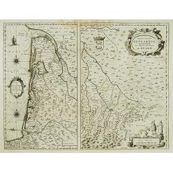
Carte du Bourdelois../ Principatus Benearnia..
Two maps on one sheet. The left map is centered on Bordeaux. Depicting The Garonne, The Arcachon basin and the country of the Landes. Also showing Bayonne. Embellished wi...
Place & Date: Amsterdam 1662
Selling price: $120
Sold
Government General d'Orleans.
Map of Orleans in northern central France, along the Loire River in the Loire Valley from the atlas "Topographia Galliae". This map also shows many regions of F...
Place & Date: Frankfurt, 1662
Selling price: $1
Sold in 2010
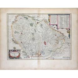
Cenomanorum Galliae regionis typus Vulgo Le Mans.
Beautifully colored map of the region surrounding Le Mans, in northwest France, published by the Blaeu firm. Accompanying Dutch text on verso.Born in Alkmaar, Holland, Wi...
Place & Date: Amsterdam, 1662
Selling price: $100
Sold in 2010
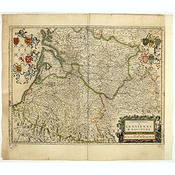
Gouvernement de la Guienne & Gascogne.
Decorative map of Guyenne et Gascogne with cartouches on each side with regional coats of arms and an allegorical title cartouche with wine grapes and puttie.
Place & Date: Amsterdam, ca. 1662
Selling price: $60
Sold in 2019
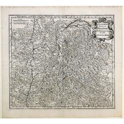
Le Gouvernement General Du Daufiné et des Pays circomuoisins ou sont La Savoye, La Bresse.
Map of central eastern France including Savoy and Bresse from Merian's atlas, "Topographia Galliae". Numerous cities and regions are noted including Lyon, Genev...
Place & Date: Amsterdam, 1663
Selling price: $8
Sold in 2010
Artesia. . .
Charming little map of French province of Artois made by Gabriel Bucelin (1599-1681). Bucelin was a Swiss genealogist and an author of several books and a number of man...
Place & Date: Ulm, Johannes Görlin, 1658-1664
Selling price: $35
Sold in 2008
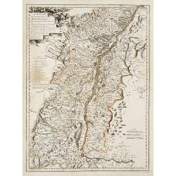
L'Alsace, ou Conquestes du Roy en Allemagne..
"Fine map of the French, German and Swiss region Alsace, engraved by R. Cordier d'Abbauil. Including the towns of Strasbourg, Basle, Colmar, etc. The cartouche is de...
Place & Date: Paris 1666
Selling price: $200
Sold in 2009
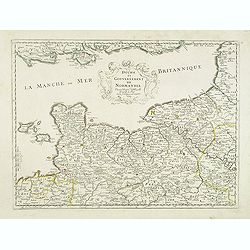
Duche et Gouvernement de Normandie.
Fine map of Normandy.This edition carries the date 1667.Nicolas Sanson was to bring about the rise of French cartography, although the fierce competition of the Dutch wou...
Place & Date: Paris 1667
Selling price: $300
Sold
Duche et gouvernement de Normandie.
Fine map of Normandy, with the islands of Jersey and Guernsey. Engraved by R. Cordier d'Abbauil. This edition carries the date 1667. Nicolas Sanson was to bring about the...
Place & Date: Paris, 1667
Selling price: $180
Sold
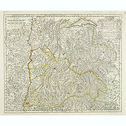
Le gouvernement general du Daufine, et.. La Savoye. . .
Fine map of south eastern part of France and part of Switzerland. Centered on Basle and the Alps.This edition carries the date 1667. Engraved by R. Cordier d'Abbauil.Nico...
Place & Date: Paris, 1667
Selling price: $240
Sold
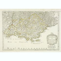
Comte et Gouvernement de Provence, avec les pays. . .
Fine map of the Provence, engraved by R. Cordier d'Abbauil. The cartouche has the date of 1669. Nicolas Sanson was to bring about the rise of French cartography, although...
Place & Date: Paris, 1669
Selling price: $200
Sold in 2012
Le Comte d'Artois suivant qui est presentement divise en Francois et Espagnol . . .
Attractive and very detailed copper engraving with decorative (uncolored) title cartouche and scale. Includes the cities of Abbeville, Arras, Valenciennes and Boulogne in...
Place & Date: Paris, 1674
Selling price: $120
Sold
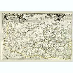
Comtes d'Artois et de Hainaut . . .
Detailed map of the northern part of France including the regions of Artois and Hainaut with the title along the top. Lille, Douai and Arras in the center.Dated 1675.More...
Place & Date: Paris, 1675
Selling price: $240
Sold
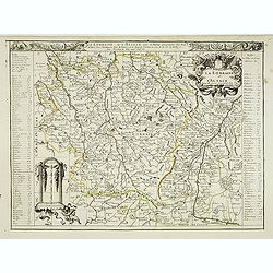
La lorraine et L'Alsace . . .
Detailed map of the French provinces Lorraine and Alsace with fine title cartouche upper right . To the left and right a key to the towns.More about [+]
Place & Date: Paris, 1675
Selling price: $360
Sold
Gouvernement général du Lyonnois suivant les derniers Estats generaux ou sont le Lyonnois . . .
Fine map of central part of France centered on Clermont-Ferrand and with Lyon in the most eastern part of the map.This edition has no date and carries the address of Pier...
Place & Date: Paris, 1676
Selling price: $120
Sold
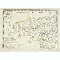
Duche et Gouvernement de Bretagne.
Fine map of Bretagne, including the cities of Nantes, Rennes, Belle-Île, etc. engraved by R. Cordier d'Abbauil. The map is still dated 1650. In the dedicational cartouch...
Place & Date: Paris, 1676
Selling price: $200
Sold in 2012
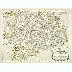
Gouvernement General d'Orleans . . .
Fine map of south eastern part of France, centered on the river Loire, including Isle d'Ré, S.Malo and Paris in the upper right corner. This edition carries the date 165...
Place & Date: Paris, 1676
Selling price: $100
Sold in 2012
La Lorraine et l'Alsace.
A detailed 1676 copper engraved map of the French wine-making region of Lorraine and Alsace by Du Val. It covers the northeast portion of France along with parts of neigh...
Place & Date: Paris, 1676
Selling price: $190
Sold in 2020
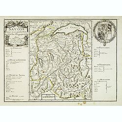
La Savoye divisée en ses Grandes Parties . . .
Detailed map of the province Savoie with fine title cartouche left and coat of arms to the right. Detailed key notions and fine arms right. More about [+]
Place & Date: Paris, 1677
Selling price: $480
Sold
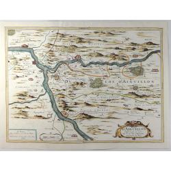
Duche D'Aiguillon.
A striking, unusual 1677 copper engraved regional map of France. Centred on the town of Aiguillon, the map covers the region of Lot-et-Garonne. The map provides excellent...
Place & Date: Paris, 1677
Selling price: $170
Sold in 2019
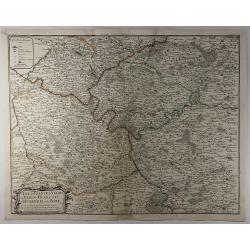
L'Isle de France, le Valois, le Vexin-Francois, le Hurepoix et le Brie.
A highly detailed copper engraved map of the Île-de-France region of France. Centred on Paris, the map is filled with topographic details including cities, towns, villag...
Place & Date: Paris, 1677
Selling price: $35
Sold in 2019
Gouvernement General de l'Ile de France ..
Fine map of Isle de France, centred on ParisThis edition carries the date 1679 and the publishers address A PARIS chez l'Autheur aux Galleries du Louvre. Nicolas Sanson w...
Place & Date: Paris 1679
Selling price: $180
Sold
Gouvernement General de Guienne et Gascogne..
Fine map of south western part of France.This edition carries the date 1679 and the publishers address A PARIS chez l'Autheur aux Galleries du Louvre. Nicolas Sanson was ...
Place & Date: Paris 1679
Selling price: $120
Sold
Carte du gouvernement du duché de Bretagne.
Map de Bretagne region. Published by H. Langlois, cartographers, publishers and booksellers at 12 rue de la Seine, Faubourg Saint Germain in Paris. Drawn up by Jean-Bap...
Place & Date: Paris, 1679
Selling price: $500
Sold in 2020
"Le Comté d'Artois et des Environs ou l'on voit le.."
Including the towns of d'Abbeville, Arras, Bapaume, Douai, Valenciennes, Mons, etc.
Place & Date: Amsterdam 1680
Selling price: $200
Sold
Tabula comitatus ARTESIAE emendata. A. Frederico de Wit.
A fine early engraved map of the region, embellished with two decorative cartouches.
Place & Date: Amsterdam , ca. 1680
Selling price: $100
Sold
Vtrivsque Burgvndiae Tum Ducatus Tum Comitatus Descriptio.
Map of the Burgundy region of France by Casper Merian from his atlas Topographia Germaniae Inerioris. This wonderfully detailed map depicts major cities such as Toullon, ...
Place & Date: 1680
Selling price: $8
Sold in 2010
Picardi.
A very well defined map of the Picardi region of France. Two typical regional folk are depicted in the foreground and the royal arms of France are in the top right hand c...
Place & Date: Amsterdam, ca. 1680
Selling price: $125
Sold in 2011
Geographica Artesiae..
Detailed map of a part of France with Calais in the left top corner. Large (colored) cartouche with a coat of arms and putti.
Place & Date: Amsterdam ca.1680
Selling price: $26
Sold in 2014
Tabula comitatus Artesiae emendata...
A large-scale map of Nord-Pas-de-Calais, packed with incredible detail. Even the smallest villages are shown, including a network of roads, rivers, forests, etc. With Cal...
Place & Date: Amsterdam, ca 1680
Selling price: $60
Sold in 2016
The Sea Coasts of France from Olone to Cape Machiacaca in Biscay.
Detailed chart of Biscay Bay, showing the Coast of Southwestern France and Northwestern Spain, originally engraved by John Seller, here with the address "Sold by Ri....
Place & Date: London, ca. 1680
Selling price: $450
Sold
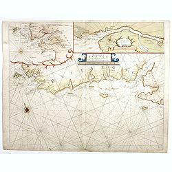
The Sea Coasts of France from Ufhent to Olone . . .
Detailed chart of Biscay Bay, showing the Coast of Brittany. The chart is oriented with north-east at the top and includes two large insets of the Loire River with Nantes...
Place & Date: London, ca. 1680
Selling price: $500
Sold
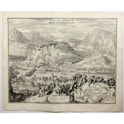
Arx et Oppidum Montismeliani.
A prospect of Montmélian, a fortress guarding the stategic bridge over the Isère River, with an inset plan of the fortress walls. It is in the Auvergne-Rhône-Alpes reg...
Place & Date: Amsterdam, 1682
Selling price: $120
Sold in 2018
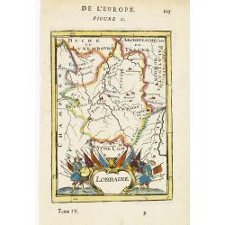
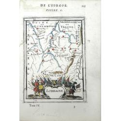
Lorraine.
Map of Lorraine, with decorative title cartouche. From the French text edition of Description d'Univers, 1683. by Allain Manneson Mallet (1630-1706), a well traveled mili...
Place & Date: Paris, 1683
Selling price: $20
Sold in 2012
Lorraine
Small scale map Lorraine, a region of northeastern France, by Allain Manesson Mallet's Description de L'Univers. Also includes the surrounding regions of Champagne, Luxem...
Place & Date: Paris, 1683
Selling price: $65
Sold in 2010
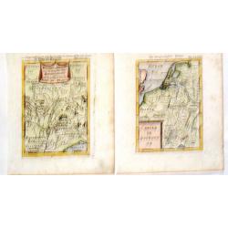
Royaume de Bourgogne Sous la Race des Roys & Cercle de Bourgogne.
Pair of Mallet maps featuring the Bourgogne region of France including Provence, Lombardie, Savoy, Champagne etc. Each has an appropriate cartouche.Alain Manesson Mallet ...
Place & Date: Paris, 1683
Selling price: $8
Sold in 2015
[ Carte de Franche Comté]
A small map of Franche Comté region, with several inserts for the main cities of this region. French text on verso.From the original 1683 text edition of "Descrip...
Place & Date: Paris, 1683
Selling price: $10
Sold in 2020
[ Carte de Lorraine]
A small map of Lorraine region, with several inserts for the main cities of this region.
Place & Date: Paris, 1683
Selling price: $10
Sold in 2020
Lorraine.
Map of Lorraine region in FranceFrench text on verso.From the original 1683 text edition of "Description d'Univers. . ." by Allain Manesson Mallet (1630-1706), ...
Place & Date: Paris, 1683
Selling price: $10
Sold in 2020
Lorraine.
Map of Lorraine region in FranceFrench text on verso.From the original 1683 text edition of "Description d'Univers. . ." by Allain Manesson Mallet (1630-1706), ...
Place & Date: Paris, 1683
Selling price: $10
Sold in 2020
De Zee Custen van Vrancryck tusschen Swartenes en C.de la Hague, Als mede de Custen van Engelandt. . .
A decorative late seventeenth century sea chart by Doncker, showing the south coast of England from Sandwich (Kent) to Portland Bill (Dorset), and the French coastline fr...
Place & Date: Amsterdam, ca 1686
Selling price: $375
Sold in 2018
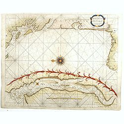
Dedicato Agli Illustrissimi Signori Gio. Francesco, Girolamo, e Giovanni Querini...
Map of the Royal Canal, or Canal du Midi, in Southern France by Vincenzo Coronelli. The beautiful, decorative title cartouche is flanked by the coat of arms for the Langu...
Place & Date: Venice, 1688
Selling price: $220
Sold in 2010
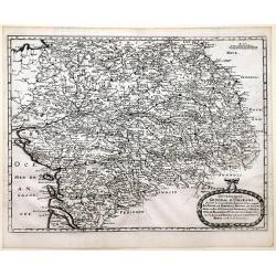
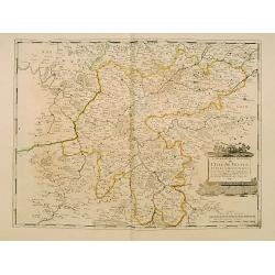
Le Haut et Bas Poictou. . .
Uncommon centered map of French province Poitou with fine title cartouche upper right.More about [+]
Place & Date: Paris, 1689
Selling price: $350
Sold in 2012
Il Ducato Dibar - Il Ducato Lorena.
A truly remarkable, large map with three decorative cartouches. It features a high degree of detail of the Duchies of Bar and Lorena in France.Giacomo Cantelli da Vignola...
Place & Date: Rome, 1689
Selling price: $110
Sold in 2013
Diocese de Coutances, divisé en ses quatre archidiaconés . . .
Lower left sheet of this rare 4-sheet wall map, showing mainly a title cartouche with the islands of Minquiers and Banes Grélets to the right. In top right tip of Britan...
Place & Date: Paris, ca. 1689
Selling price: $60
Sold in 2017
Partie Meridionale des Estats de Savoye..
"Map of Savoie. With original or early outline hand-color. Numerous place-names of counties, cities, towns, physical features. Prepared by N.Sanson.This edition carr...
Place & Date: Paris 1690
Selling price: $240
Sold in 2009
Partie Septentrionale des Estats de Savoye..
Map of Savoy. With original or early outline hand-color. Numerous place-names of counties, cities, towns, physical features. Prepared by N.Sanson.This edition carries the...
Place & Date: Paris 1690
Selling price: $340
Sold
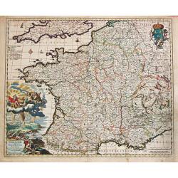
Galliae seu Francia Tabula.
Frederik de Wit (1610-98), Amsterdam-based cartographer and publisher of 'Atlas minor', 1670, 'Zee-Atlas', 1675, 'Atlas Major', 1690.A very attractive map of France. Embe...
Place & Date: Amsterdam, F. de Wit, c.1690
Selling price: $225
Sold
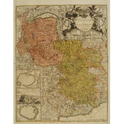
Les Etats de Savoye et de Piemont..
With a panoramic inset view of Chambery, and insets of plans of Yvrée, Montmelian, Nice, Turin, Verrue, Vercelli. Showing the Mediterranean coastline from Antibe, Nice t...
Place & Date: Paris, 1690
Selling price: $325
Sold
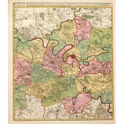
Carte Particulire du terroir et des Environs de Paris qui est la plus grande partie de L' Isle de France.
Frederik de Wit (1610-98), Amsterdam-based cartographer and publisher. 'Atlas minor', 1670, 'Zee-Atlas', 1675, ' Atlas Major', 1690.Nicolas Visscher's attractive map of I...
Place & Date: Amsterdam, Wit, F. de, 1690
Selling price: $80
Sold in 2020
Comitatus Burgondiae.
Frederik de Wit (1610-98), Amsterdam-based cartographer and publisher. ' Atlas minor', 1670, ' Zee-Atlas', 1675, 'Atlas Major', 1690.An attractive map of Burgondy. Embell...
Place & Date: Amsterdam, F. de Wit, c.1690
Selling price: $140
Sold in 2014
Isola D'oleron Nelle Piaggie Occidentali della Francia, Dedicata Dal P. Maestro Coronelli, coscmografo et Lettore Publico all Illustrisimo, et Eccellentissimo Sig. Polo Dona...
A beautiful map showing the isle of Oleron, located in the Bay of Biscay off the coast of France, from Vincenzo Coronelli's Corso Geografico Universale. A numbered key of...
Place & Date: Venice, 1690
Selling price: $200
Sold in 2010
Isola de Re, nel Mare di Guascogna . . .
A beautiful and rare map showing Isle de Ré. The title cartouche is held by and trumpet-blowing angel.The remarkable Vincenzo Coronelli (1650-1718), encyclopaedist, geog...
Place & Date: Venice, 1690
Selling price: $360
Sold
Generalis Lotharingiae Ducatus Tabula
Frederik de Wit (1610-98), Amsterdam-based cartographer and publisher. ' Atlas minor', 1670, ' Zee-Atlas', 1675, ' Atlas Major', 1690.An attractive map of Lorraine. Embel...
Place & Date: Amsterdam, F. de Wit, c.1690
Selling price: $80
Sold in 2020
Le gouvernement général de Languedoc divisé en Haut et Bas Languedoc et Sévennes par N. de Fer, géographe de sa majesté catolique. . .
Scarce map by J.-B. Nolin, after Sr. Tillemon.
Place & Date: Paris, ca. 1690
Selling price: $100
Sold in 2015
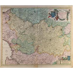
Geographica Artesiae Comitatus Tabula.
A fine large map of the region of Artois by Nicolaes Visscher II, produced in Amsterdam in 1690. Beautiful embellishments such as decorative cartouches, five putti, and ...
Place & Date: Amsterdam, 1690
Selling price: $58
Sold in 2021
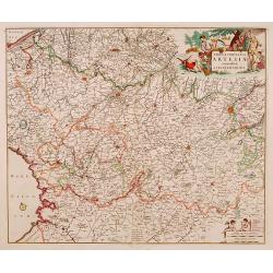
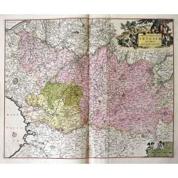
Novissima Artesiae Comitatus Tabula.
A fine original color example of Justus Danckerts map of Artois in France, published in Amsterdam in 1690. It features a decorative cartouche with eight putti.Justus Danc...
Place & Date: Amsterdam, 1690
Selling price: $36
Sold in 2022
![[ Carte de Franche Comté]](/uploads/cache/46493-250x250.jpg)
![[ Carte de Lorraine]](/uploads/cache/46494-250x250.jpg)
