Browse Listings in Europe > France > France Cities
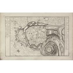
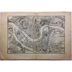
Lion, Ville Tres Considerable du Royaume.
This bird's-eye plan of Lion (Lyon) and vicinity illustrates the strategic position of its fortifications on the Saône and the Rhône rivers.It provides an excellent vie...
Place & Date: Paris, 1706
Selling price: $51
Sold in 2019
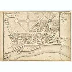
Plan de la belle et magnifique maison de Monsieur à St Cloud. . .
Garden plan in St. Cloud near Paris.
Place & Date: Paris, 1707
Selling price: $25
Sold in 2013
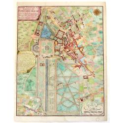
Bourg, Chateau et Jardins de Fontaine-Blaeu.
A striking plan view of Fontainebleau, a one-time Royal residence near Paris. The plan has three cartouches, and a splendid compass rose. Signed in print by C. Inselin. N...
Place & Date: Paris, 1708
Selling price: $60
Sold in 2013
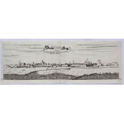
Stenay Dedic All' Illustrissimo Sig Bertuccio Valier Patritio Veneto.
A detailed copper engraved panoramic view of Stenay, a commune in the Meuse department in Grand Est in north-eastern France. The view shows the city with his buildings, c...
Place & Date: Venice, 1708
Selling price: $30
Sold in 2021
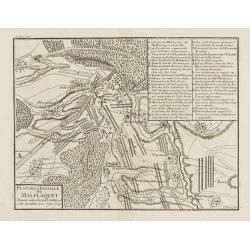
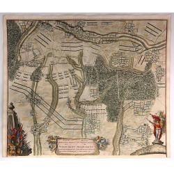
Plan de la Bataille de Malplaquet Donnée entre l'armée du Roy et celle des alliés le 11. Sept. 1709.
Extremely fine and detailed plan depicting the siege of de Malplaquet over Price Eugéne on September 11th 1709. With key list in the upper right corner. Engrav...
Place & Date: Paris, 1710
Selling price: $50
Sold in 2009
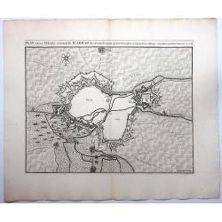
Plan de la Ville et Citadelle D'Arras.
A detailed plan of the town and citadelle of Arras. Arras is the capital of the Pas-de-Calais department of France, which forms part of the region of Hauts-de-France. Ar...
Place & Date: Amsterdam, 1710
Selling price: $26
Sold in 2020
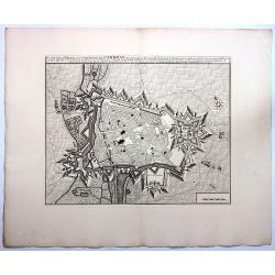
Plan de la Ville et Citadelle de Cambray.
A detailed plan of the town and Citadelle of Cambray. Cambrai, (old spelling Cambray) is a commune in the Nord department and in the Hauts-de-France region of France on ...
Place & Date: Amsterdam, 1710
Selling price: $25
Sold in 2019
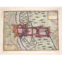
Bouchain: Ville Forte du Comte de Hainaut Situee Sur la Riviere d'Escaut.
Fine little plan of the fortification of Bouchain by Pieter Devel and published by Eugene Henry Fricx. The Siege of Bouchain (August – September 1711), was a siege of ...
Place & Date: Brussels, 1711
Selling price: $35
Sold in 2013
Plan et Profil de la Ville de Maubeuge.
A detailed plan of the town and profile of Maubeuge. Maubeuge is a commune in the Nord department in northern France. It is situated on both banks of the Sambre River, e...
Place & Date: Amsterdam, 1712
Selling price: $25
Sold in 2019
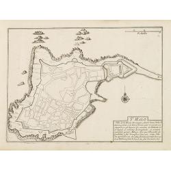
St. Malo
Fortification town-plan of St. Malo in Brittany. Wind rose and explanatory panel in lower right corner.Nicolas de Fer [1646-1720] was one of the most prolific and influen...
Place & Date: Paris, 1715
Selling price: $120
Sold
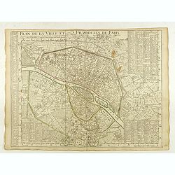
Plan de la Ville et Fauxbourgs de Paris.
A detailed plan of the city and surrounding suburbs of Paris, published "A Paris chez l’Auteur sur le Quai de l’Or.loge avec Pr.r Juin 1716" .The plan has i...
Place & Date: Paris, 1716
Selling price: $140
Sold in 2022
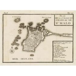
Plan de la ville et château de St Malo
Town-plan of St. Malo with the castle. With a lettered key A-N in lower right corner. In top, Tome 8, Page 414.
Place & Date: France, c. 1720
Selling price: $55
Sold in 2010
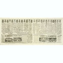
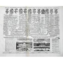
Carte généalogique des branches naturelles ou du coté gauche de la maison des Bourbons. . .
Interesting sheet with an impressive engraving ornamented with numerous vignettes representing French castles of Meudon, Versailles, St. Germain en Laye and Fontaine Blea...
Place & Date: Amsterdam, ca. 1720
Selling price: $145
Sold in 2012
Nouvelle carte généalogique des branches du coté gauche de la maison de valois . . .
This impressive engraving is a wonderful example of Chatelain’s elegant plates from his "Atlas Historique, Ou Nouvelle Introduction A L’Histoire …", Tom 7...
Place & Date: Amsterdam, ca. 1720
Selling price: $45
Sold in 2012
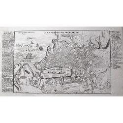
Marseille oder Marsilien.
Very detailed German plan of Marseille and environs, with the harbor and fortifications. With extensive information to the left, and a 26 letter key locating important bu...
Place & Date: Augsburg, c1720
Selling price: $85
Sold in 2013
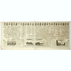
Carte généalogique des branches naturelles du coté gauche de la maison de Bourbon accompagnée des armes et alliances
Interesting sheet with an impressive engraving ornamented with numerous vignettes representing French castles of Meudon, Versailles, St. Germain en Laye and Fontaine Blea...
Place & Date: Amsterdam, 1720
Selling price: $50
Sold in 2014
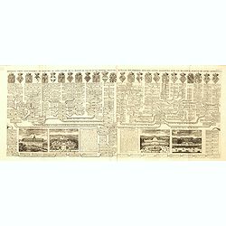
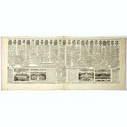
Nouvelle carte généalogique des branches du coté gauche de la maison Valois.
Interesting sheet with a map of the family tree of the house of Valois. In lower part views of les Invallides, Trianon, Versailles, St.Cloud and descriptive French text, ...
Place & Date: Amsterdam, 1720
Selling price: $28
Sold in 2022
Versailles / St. Cloud
An interesting double page, showing the genealogy of Ducs de Nevers, Ducs de Bourgogne, Ducs de Brabant etc. It features 12 lovely coat of arms, and views of Versailles a...
Place & Date: Amsterdam, 1720
Selling price: $37
Sold in 2016
Nouvelle carte généalogique des branches du coté gauche de la maison des Valois ...
The family tree of the house of Valois issued from the 'third race' (Capetian dynasty), including the other houses issued from it or associated to it through marriage (su...
Place & Date: Amsterdam, ca. 1720
Selling price: $15
Sold in 2022
Nouvelle carte généalogique des familles Roiales de France . . .
Family tree of the French royal families issued from the 'first race' (Pharamond & the Merovingian Kings) and the 'second race' (the Carolingian Kings), until the adv...
Place & Date: Amsterdam, ca. 1720
Selling price: $15
Sold in 2022
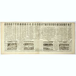
Carte généalogique des branches naturelles ou du coté gauche de la Maison Bourbon . . .
Interesting sheet with an impressive engraving ornamented with numerous vignettes representing French castles of Meudon, Versailles, St. Germain en Laye and Fontaine Blea...
Place & Date: Amsterdam, ca. 1720
Selling price: $55
Sold in 2018
Plan de la Ville de Douay et du Fort D'Escarpe.
Striking engraved plan showing the city of Douay, drawn by Eugène Henry Fricx, a Brussels printer specialized in battles and sieges. Nice copy with large margins. The ma...
Place & Date: Amsterdam, ca. 1720
Selling price: $17
Sold in 2019
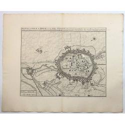
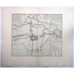
Plan de St. Venant.
A very fine city plan of St. Venant, published by Covens & Mortier. It has a detailed legend on the right bottom corner.Saint-Venant is a commune in the Pas-de-Calais...
Place & Date: Amsterdam, 1720
Selling price: $19
Sold in 2019
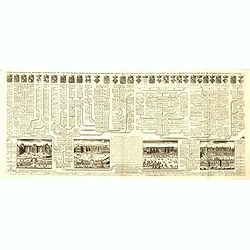
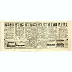
Carte genealogique de la maison des Valois. . .
Ornamented with numerous vignettes representing Place Royal, Palais des Tuilleries and Palais du Luxembourg in Paris.Exhaustive information about the settlements is given...
Place & Date: Amsterdam, ca. 1720
Selling price: $12
Sold in 2022
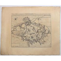
Plan de la Ville et Citadelle de Valenciennes.
Beautiful engraved plan showing the city and the citadel of Valenciennes, drawn in 1709 by Eugène Henry Fricx, a Brussels printer specialized in battles and sieges. Nice...
Place & Date: Amsterdam, 1723
Selling price: $24
Sold in 2019
Plan et Profil de la Ville de Maubeuge.
Beautiful engraved plan showing the city of Maubeuge, drawn by Eugène Henry Fricx, a Brussels printer specialized in battles and sieges. Nice copy with large margins. Th...
Place & Date: Amsterdam, 1723
Selling price: $40
Sold in 2017
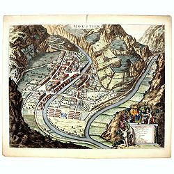
Moustiers.
A beautifully engraved and richly decorated plan of Moustiers. A key (A-Q) in the lower part refers to the principal places of interest in the town.Joan Blaeu published d...
Place & Date: Amsterdam, 1724
Selling price: $150
Sold in 2016
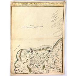
Les Environs de Calais, Gravelines, Bourbourg, d'Ardes, et d'Embleteuse & c.
A map showing the border between France and the Netherlands near Calais, Gravelines, Bourbourg, Ardes, and Embleteuse, by Nicolas de Fer, published in Paris in 1724. It w...
Place & Date: Paris, 1724
Selling price: $10
Sold in 2018
Plan der Glorieuse Veldislag van Malplaquet
A plan of the Battle of Malplaquet gained by the Allies Sep.11th 1709 , by the Duke of Marlborough. It was the last great battle in the War of the Spanish Succession (170...
Place & Date: Paris, 1729
Selling price: $52
Sold in 2020
Plan Van de Attaque Van Ryssel & Plan de l'Attaque de Lille
Plans of the attacks on Ryssel/Lille on October 22nd, 1708 by the Duke of Marlborough. It was one of the last great battles in the War of the Spanish Succession (1701–1...
Place & Date: Paris, 1729
Selling price: $17
Sold in 2023
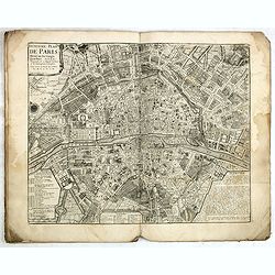
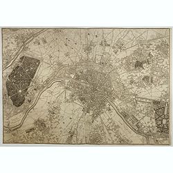
Troisieme plan de la ville de Paris, son étendiie et les bourgs dont elle êtoit environnée sous le regne de Loüis le Jeune, VIIe du nom [...] par M.L.C.D.L.M.
Engraved plan of Paris, oriented to the North with a compass rose (upper part) and equipped with a double scale (400 geometrical steps and 1000 not common) with a brief c...
Place & Date: Paris, 1729
Selling price: $110
Sold
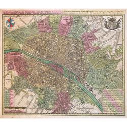
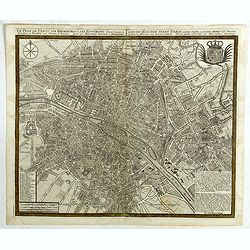
Le Plan de Paris, ses Faubourgs et ses Environs...
A spectacular city plan of Paris illustrating with deepest detail churches, palaces, streets, gardens, etc. The work embellished by a compass rose and the royal coat of a...
Place & Date: Augsburg, 1730
Selling price: $580
Sold in 2014
Plan de la Situation du Siege du Quesnoy Investi.
A fine detailed map of the fortifications around the town Quesnoy at the time of the siege in 1712. Le Quesnoy is a commune in the Nord department in northern France.Cove...
Place & Date: Amsterdam, ca. 1730
Selling price: $20
Sold in 2019
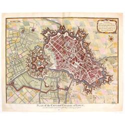
Plan of the City and Citadel of Lisle. (Lille)
Detailed city plan of the city and citadel of Lille in northern France. It is from Mr. Tindal's continuation of Mr. Tindal's "HISTORY OF ENGLAND" published in L...
Place & Date: London, 1732
Selling price: $45
Sold in 2020
Steenvoorde.
An unusual birds-eye view of Steenvoorde, a commune in the Nord department in northern France. Engraved by Reynier Blokhuysen. Highly detailed with buildings, streets, pe...
Place & Date: The Hague, Jan van der Deyster, 1735
Selling price: $90
Sold in 2020
Traité de la Police. (8 plans of Paris).
Set of eight city plans of Paris, each map showing Paris from the time of Julius Caesar to Paris in 1705. The plate volume of Nicolas Delamare’s "La Traité de la ...
Place & Date: Paris, 1705-1738
Selling price: $1500
Sold
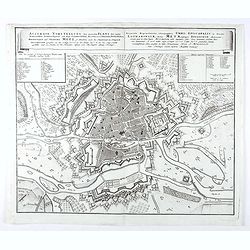
Accurata Repraesentatio ichnographica Urbis Episcopalis in Ducatu Lotharingiae, dictae Metae, antiquis Divodorum Mediomatricorum . . .
Map of Metz after a design of W. Zollmann.
Place & Date: Nuremberg, 1738
Selling price: $55
Sold in 2021
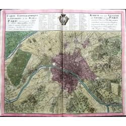
Carte Topographique des Environs & du Plan de Paris levée par Msr. l'Abbé Delagrive & copiée selon l'original Parisien. . .
An unusual plan of old Paris, based on Abbé Jean Delagrive's map of 1738. In the map many of today's city districts appear as villages. Highly detailed, showing the terr...
Place & Date: Nuremberg, 1739
Selling price: $338
Sold in 2019
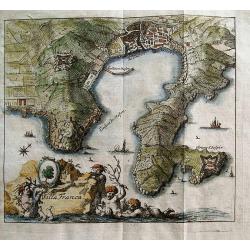
Villa Franca.
Unusual anonymous map of Villefranche-sur-Mer! Extends to Saint-Jean-Cap-Ferrat. Small but very detailed map, with fields, roads, towers, forts, etc.The title is in Frenc...
Place & Date: Germany, c1740
Selling price: $75
Sold in 2012
Environs de Paris Levés géométriquement par M. l'Abbé De La Grive. . .
Nine detailed maps of the environs of Paris, including Versailles and Saint-Cloud, each map is on a double sheet with its original centerfold. This remarkable collection ...
Place & Date: Paris, 1740
Selling price: $3700
Sold in 2017
Le plan de Paris et ses Faubourgs et ses environs . . .
Plan of Paris.Matthaus Seutter the elder first published his "Atlas Geographicus" in 1720 and added to the contents in subsequent editions under the title "...
Place & Date: Augsburg, ca. 1740
Selling price: $220
Sold in 2018
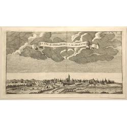
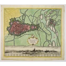
La Citta di Strasburgo o Sia Argentina.
Fine city view engraving of Strasburg, France by Thomas Salmon. Published in Rome by Giambattista Albrizzi in 1740.Giambattita Albrizzi was a famous Venetian publisher an...
Place & Date: Venice, 1740
Selling price: $7
Sold in 2023
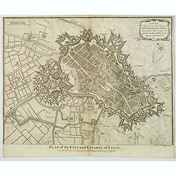
Plan of the City and Citadel of Lisle.
An elaborate bird's-eye view of the fortifications and city of the northern French town of Lisle, and the surrounding countryside. With fortifications shown in great deta...
Place & Date: London, 1740
Selling price: $30
Sold in 2020
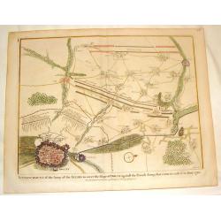
Plan of the Army of the Allies to Cover the Siege of Douay.
Fine detailed plan of the Siege of Douay in 1710. Copper engraving featuring the city of Douay and the Fort of Scarpe. Nicholas Tindal (1687-1774) / Paul de Rapin (1661-...
Place & Date: London, 1742
Selling price: $15
Sold in 2016
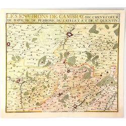
Les Environs de Cambray, de Crevecoeur, de Bapaume, De Perrone, Du Catelet de St. Quentin
A map showing the north part of France near Cambray on the Scheldt River, by Nicolas de Fer in Paris in 1724. It was published by Chez Le Benard.Nicolas de Fer (1646-172)...
Place & Date: Paris, 1743
Selling price: $17
Sold in 2019
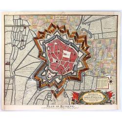
Plan of Bethune
An old detailed antique battle plan of Bethune in France showing the bastions, rivers, canals and fortifications outside the city and the shelling during the Spanish Succ...
Place & Date: London, 1743
Selling price: $39
Sold in 2016
Plan of the City of Aire and of Fort St. Francis with a View of St. Venant
A very strong City and Castle in the Low Countries, in the Earldom of Artois, taken by the Allies in 1710, but restored to the French by the Treaty of Utrecht. The map is...
Place & Date: London, 1743
Selling price: $30
Sold in 2016
Plan of the Battle of Wynendal, Between the Troops of the Allies Commanded by Major Gen. Webb
A copper engraved battle plan between Major General Webb and Count de la Motte, with actual miniature pictures of the troupes. With a very fancy rococo cartouche, with ca...
Place & Date: Paris, 1743
Selling price: $30
Sold in 2016
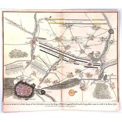
Entrenchment of the Army of the Allies to cover the Siege of Douay ...
An antique old battle plan of the fortified Town of Douai, France during the War of Spanish Succession (1701-1713) with surrounded area. The map shows the preparation of ...
Place & Date: London, 1743
Selling price: $41
Sold in 2016
Vue du Château de Marli. Prise du bas du grand parterre. . .
A magnificent view of a stunning Château de Marli by the celebrated landscape engraver Jacques Rigaud (1681-1754). At the Château of Marly, Louis XIV of France escaped ...
Place & Date: Paris, c. 1745
Selling price: $300
Sold in 2009
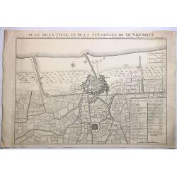
Plan de la Ville et de la Citadelle de Dunkerque.
A striking large example of Covens & Mortier's plan of Dunkerque. The map focuses on the town fortifications and also includes details of the town plan, upper and low...
Place & Date: Amsterdam, 1745
Selling price: $9
Sold in 2023
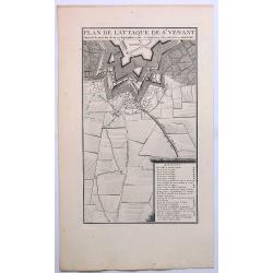
Plan de L'Attaque de St. Venant.
A striking example of Covens & Mortier's plan of St. Venant. The map focuses on the town fortifications and includes details of the town plan and environs. The primar...
Place & Date: Amsterdam, ca. 1745
Selling price: $16
Sold in 2019
Nouveau Plan de la Bataille Donnee Pres de Hochstet ....
The Battle of Blenheim (referred to in some countries as the Second Battle of Höchstädt), fought on 13 August 1704, was a major battle of the War of the Spanish Success...
Place & Date: Amsterdam, 1747
Selling price: $22
Sold in 2019
Vue particulierie de Paris. Prise du Pont Royal regardant vers le Pont Neuf. Ou l''on voit les Galeries du Louvre et une partie des Thuilleries cs.
A beautiful optical view of Pont Neuf with the Louvre in Paris.
Place & Date: Paris, c. 1750
Selling price: $180
Sold in 2008
Vue de l'Interieur de l Église Cathedrale de notre Dame de Paris.
An optical view of the interior of the Notre Dame in Paris.
Place & Date: Paris, c. 1750
Selling price: $100
Sold
Les Environs de l'orient et du Port Louis. Dédiés à Monseigneur le comte d'Argençon Ministre et Secretaire d'Etat de la Guerre
A very large and rare map of Port Louis and Lorient by Le RougeThe copper engraved map published by G. L. le Rouge in 1750 and printed from two plate. It shows the area a...
Place & Date: Paris, 1750
Selling price: $950
Sold in 2010
Stadt und Vestung Strasburg samt dem Fort Kehl.
Scarce decorative town-plan of Strasbourg with fine panoramic view of the city.
Place & Date: Nuremberg, 1750
Selling price: $200
Sold in 2011
Vue Perspective de L'Interieur de L'Eglise des Invalides Prise Dessous les Orgues.
A Vue Optique featuring the interior of the Church of the Invalids in Paris. Jacques Chéreau (1688–1776) was a portrait engraver, printmaker and publisher of optical...
Place & Date: Paris, 1750
Selling price: $20
Sold in 2018
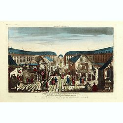
8e Vue d'optique nouvelle représentant la Foire St Ovide qui se tient dans la place Vendôme, à Paris.
Showing the St Ovide fair at the Vendôme Place in Paris. Likely published by J. Chereau, who was a well-known publisher of optical prints, established in rue St.Jacques ...
Place & Date: Paris, ca. 1750
Selling price: $100
Sold in 2015
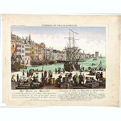
L'interieur du port de marseille...
A so-called optical print. A lively and harbor scene of Marseille, with many people loading a vessel. Engraved by Balthazar Frederic Leizelt.. The image is actually of a...
Place & Date: Augsburg, c. 1750
Selling price: $250
Sold in 2016
Plan de Nancy Avec les Changements que le Roy de Pologne Duc de Lorraine et de Bar a fait Dedié à sa Majesté Polonoise Par Le Rouge
A Rare plan of Nancy by Georges-Louis le RougeA large and detailed copper engraved plan of Nancy, published by le Rouge in 1752. Surrounded by important buildings of the ...
Place & Date: Paris, 1752
Selling price: $700
Sold in 2011
Plan de Besancon. Capitalle du Compté de Bourgogne.
A rare plan of Besancon in the Bourgogne by Le Rouge. Showing the fortified city with the adjacent streets, title to the left, and a keys to the right. We could not locat...
Place & Date: Paris, 1752
Selling price: $240
Sold
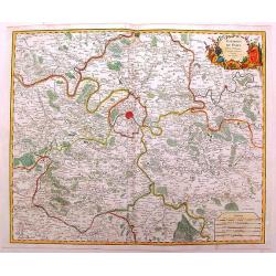
Environs de Paris
Detailed map of Paris and its surroundings with a decorative title cartouche and with cities, towns, forests. lakes, rivers & mountains clearly delineated. Gilles Rob...
Place & Date: Paris, 1753
Selling price: $71
Sold in 2014
La Citta di Nizza Capitale della Contea di Nizza.
Fine panoramic views of Nice, taken from Storia moderna di tutti I popoli del mondo , edited by Thomas Salmon. A Italian edition of this famous work, published in 26 volu...
Place & Date: Venice, 1740-1756
Selling price: $210
Sold in 2011
Plan de Paris divisé en seize quartiers. . .
Large decorative plan with lettered key to the streets, parishes, colleges, hospitals and communities. The end of the address has been erased, state not cited by Vallée.
Place & Date: Paris, 1756
Selling price: $625
Sold in 2021
Paris.
Very rare bird's-eye plan of Paris. To the sides a historical description and a numbered key.George Christophe Kilian (1709-1780) active as engraver of Augsburg published...
Place & Date: Augsburg 1757
Selling price: $150
Sold
A Plan of the Town, Harbour and citadel of Havre de Grace
A handsome plan of the French port city of Havre de Grace that shows its many fortifications. A key at left locates churches, bastions, etc. Excellent detail of jetties, ...
Place & Date: London, 1759
Selling price: $26
Sold in 2016
Lille.
"A very RARE panoramic view of the city of Lille, including a numbered legend in both lower corners. The plate is numbered in black pencil in upper right corner. Pub...
Place & Date: Paris, 1760
Selling price: $180
Sold
Bourdeaux.
"A very RARE panoramic view of the city of Bordeaux, including a numbered legend in both lower corners. The plate is numbered in black pencil in upper right corner. ...
Place & Date: Paris, 1760
Selling price: $120
Sold
Vüe Méridionale de la Place Royale de Nancy.
So-called optical print illustrating the southern side of the Royal Square in Nancy. Published by Daumont, active at rue St.Martin, who was a well-known publisher of opti...
Place & Date: Paris 1760
Selling price: $185
Sold in 2011
Vue perspective de la Place Royale de Nancy 1760.
So-called optical print illustrating a perspective view of the Royal Square in Nancy.Mondhare, active at rue St.Jacques a l'Hotel Saumur, was a well-known publisher of op...
Place & Date: Paris, 1760
Selling price: $200
Sold in 2011
54e Vue d'Optique Representant Les Cascades de Versailles.
So-called optical print, illustrating a water basin with fountains in the gardens of Versailles.In the eighteenth and nineteenth centuries there were many popular special...
Place & Date: Paris 1760
Selling price: $230
Sold in 2015
Vue du grand Bassin au bas des Tuilleries d'où l'on decouvre la place de Louis XV. Les Champs Elisée tel que cela doit être executé
So-called optical print illustrating a perspective view of the big basin in the Tuileries gardens, in Paris.Mondhare was a well-known publisher of optical prints, establi...
Place & Date: Paris 1760
Selling price: $180
Sold
Vue du Chateau de Maisons du Côté de l'Avenue..
Uncommon, so-called optical print illustrating a perspective view of a castle, probably Fontainebleau.In the eighteenth and nineteenth centuries there were many popular s...
Place & Date: Paris, 1760
Selling price: $200
Sold in 2009
Vüe de la Maison Royalle de choisy du Côté du Jardin
So-called optical print illustrating a perspective view of a royal mansion in Choisy, near Paris.In the eighteenth and nineteenth centuries there were many popular specia...
Place & Date: Paris, 1760
Selling price: $160
Sold in 2010
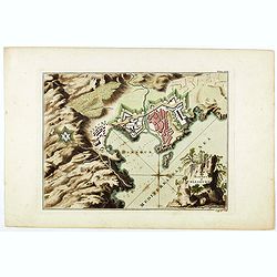
Plan of the Town and Mole of Agde with the Fort de Brescou.
Fine copper engraved map of Agde near the towns of Marseillan and Bessan, on the coastline of southern France in the Gulf of Lion. By John Hinton engraved for the "N...
Place & Date: London, 1760
Selling price: $50
Sold in 2019
Vue de l'Hôtel de Ville de Marseille du Côté du Port.
Striking copper engraved optical print illustrating a perspective view of the City Hall of Marseille, France, taken from the harbour.In the eighteenth and nineteenth cent...
Place & Date: Paris, 1760
Selling price: $17
Sold in 2018
L'Exterieur de la Chapelle du Chateau de Versailles, du Cote de la Cour.
So-called optical print of The Exterior of the Chapel of the Chateau de Versailles, the Court of Approval (lOUIS XIV'S CHAPEL) by Basset.Basset was a well-known publisher...
Place & Date: Paris , 1760
Selling price: $16
Sold in 2016
Plan of the town and harbour of Collioure.
Plan of the town and harbour of Collioure, a commune in the southern French department of Pyrénées-Orientales. In upper right Plate LXIX. Thomas Jefferys (c. 1719 – 1...
Place & Date: London, ca. 1760
Selling price: $150
Sold in 2023
A plan of the city of Paris.
Uncommon plan of Paris with a very decorative title cartouche with globe, sun, etc. A numbered key (1-78) to most important buildings and streets in town. Engraved by J. ...
Place & Date: London 1760
Selling price: $170
Sold in 2019

![Troisieme plan de la ville de Paris, son étendiie et les bourgs dont elle êtoit environnée sous le regne de Loüis le Jeune, VIIe du nom [...] par M.L.C.D.L.M.](/uploads/cache/42142-250x250.jpg)
