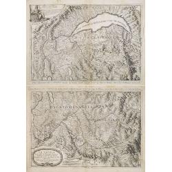
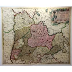
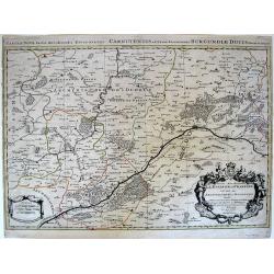
La Savoia divisa nelle sue Principali Provincie da Giacomo Cantelli da Vignola . . .
A set of two late 17th century maps of the Savoye region, based on the reports of Giacomo Cantelli da Vignola and published in Roma in Giacomo de Rossi's world atlas Merc...
Place & Date: Rome, 1692
Selling price: $400
Sold in 2013
Totius Regni Galliae sive Franciae..
A finely engraved detailed map of France with imposing title cartouche and coats of arms. °
Place & Date: Nuremberg, 1692
Selling price: $28
Sold in 2011
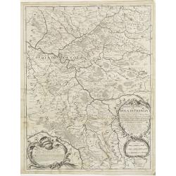
Governo Generale dell' Isola di Francia . . .
In lower left hand corner a large ornamental title cartouche. A late 17th century map of Isle de France region, centered on Paris. Prepared by Giacomo Cantelli da Vignola...
Place & Date: Rome, 1692
Selling price: $65
Sold in 2009
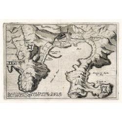
Veue du Port et des Envirions de Ville Franche ...
Rare early map of Villefranche-sur-Mer near Nice in southern France. Includes Mont Boron (here called Monbourone) and the peninsula of Saint-Jean-Cap-Ferrat. Finely exec...
Place & Date: Paris, 1692
Selling price: $100
Sold in 2009
Nanceium, Nancy ville capitale du duché de Lorraine.
A very decorative and extremely raretown-viewof Nancy, including a numbered key (1-6) in lower part. Engraved by Pierre-Alexandre Aveline. With "fait par Aveline ave...
Place & Date: Paris, ca.1692
Selling price: $120
Sold in 2010
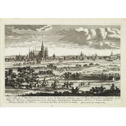
La ville de St Denis en France. . .
A very decorative and extremely rare of Saint Denis. Engraved by Pierre-Alexandre Aveline. With "fait par Aveline avec Privilege du Roy" in lower right margin....
Place & Date: Paris, ca.1692
Selling price: $225
Sold in 2017
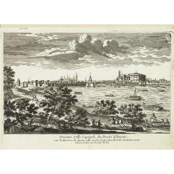
Angers, Ville Capitale du Duché d'Anjou. . .
A very decorative and extremely raretown-viewof Angers. Angers is a city in the Maine-et-Loire department in north-western France about 300 km (190 mi) south-west of Pari...
Place & Date: Paris, ca.1692
Selling price: $150
Sold in 2010
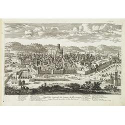
Aix, ville Capitale du Comte de Provence siege d'un Archeveche et d'un Parlement. . .
A very decorative and extremely raretown-viewof Aix-en-Provence, including a numbered key (1-23) in lower part. Engraved by Pierre-Alexandre Aveline. With "Fait par ...
Place & Date: Paris, ca.1692
Selling price: $750
Sold in 2010
Donkerke, ville du comté de Flandre sur la costé. . .
A very decorative and extremely raretown-viewof Duinkerke including a numbered key (1-16) in lower part. Engraved by Pierre-Alexandre Aveline. With "Fait par Aveline...
Place & Date: Paris, ca.1692
Selling price: $200
Sold in 2010
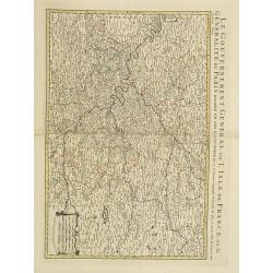
Le gouvernement general de l'Isle de France. . .
Fine map of Isle de France with a decorative title and scale cartouche.Alexis-Hubert Jaillot (1632-1712), was a French cartographer. He joined the Sanson heirs and redrew...
Place & Date: Amsterdam, 1692
Selling price: $300
Sold
La Francia Antica, e Moderna. . .
Beautiful and finely detailed map of the west coast of France, including the Pyrenees region in the South to the Normandy region in the North by Vincenzo Coronelli. The t...
Place & Date: Venice, 1692
Selling price: $140
Sold in 2010
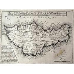
Marquisat et gouvernement de Bell-Isle divisée en ses quatre paroisses, Du Palais, De Bangor, De Lomaria, et de Sauzon.
Rare and detailed map of Belle-Isle off the coast of Brittany. The map provides very good detail of the topography, ports, cities and towns. With the large title banner, ...
Place & Date: Paris, 1692
Selling price: $57
Sold in 2011
(Two Aveline Panoramic Views) Cascades de St. Cloud & Chateau de Meudon.
Two rare panoramic views entitled: “Veue et Perspective des Cascades de St. Cloud” and “Veue et Perspective du Chateau de Meudon du Cote du Jardin.” Engraved in P...
Place & Date: Paris, 1692
Selling price: $201
Sold in 2018
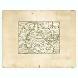
Les environs de Paris.
An interesting small map of present area of Paris by Nicolas de Fer. From his rare "Petit et Nouveau Atlas". The first edition was published in 1697 and was rep...
Place & Date: Paris, 1692
Selling price: $30
Sold in 2023
La Generalite de Paris Divisee en Ses Eslections.
A fine and detailed map of the region southeast of Paris between Orleans, Troyes and Nevers, from Jaillot’s 'Nouvelle Introduction a le Geographie….' Embellished with...
Place & Date: Paris, 1692
Selling price: $55
Sold in 2020
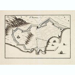
St Tropez.
Early plan of St.Tropez. From his "Introduction à la fortification".
Place & Date: Paris, 1693
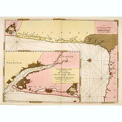
Carte Particulière des Costes de Guienne..
From the "Neptune Français", two charts on one sheet, in lower left showing the mouth of the Gironde till Bordeaux. The main chart depicting the coast of Gasco...
Place & Date: Paris (Amsterdam), 1693
Selling price: $200
Sold
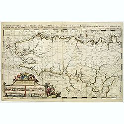
Carte Nouvelle des Costes De Bretagne depuis St. Malo jusques a l'emboucheure de la Riviere de Loire. . .
Chart of the French province of Brittany. From the first edition of Mortier's Atlas Maritime, showing the whole of Brittany and inset panoramic views of St.Malo, Brest, C...
Place & Date: Amsterdam, 1693
Selling price: $1850
Sold in 2011
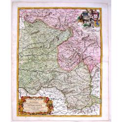
Il Limosino, Il Quercy e la Rovergue che Costituiscono Parte del Gouverno Generale di Guascogna
Highly detailed copper engraved map of Limousin & Quercy, regions located in Central France. The map includes the cities of Montauban, Villefranche sur Saonne, Limoge...
Place & Date: Modena, 1693
Selling price: $145
Sold in 2015
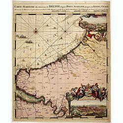
Carte Maritime des Environs de DIEPPE depuis PONT ASSELANE
From the first edition of Mortier's Neptune François showing the mouth of the Seine and inset panoramic views of Dieppe and Rouen. According to Koeman: ...the most expen...
Place & Date: Amsterdam, 1693
Selling price: $500
Sold in 2015
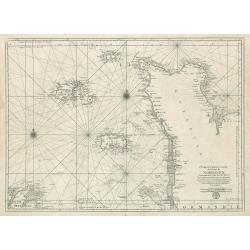
Carte Particuliere des Costes de Normandie
This is an original, uncolored sea chart of the coast of Normandy, France and the islands of Jersey Guernsey (Grenezey), and Alderny (Aurigny) that reside within the Engl...
Place & Date: Paris 1693
Selling price: $400
Sold in 2023
Plan de la ville, cite universite et fauxbourgs de Paris comme il est jourddhuy. . ..
One of the most sought after large plans of the city of Paris of the XVII century. Extremely important and decorative.On the top left, and the bottom right and left, are ...
Place & Date: Paris, 1694
Selling price: $1150
Sold in 2016
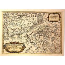
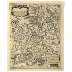
Partie Occidentale du Temporel de / l' Archeversche et Eslectorat de Mayence et le Haut et Bas Comte de Catzenellenboge
A large attractive map showing Mainz and Frankfurt along the course of the Rhine River, by N. Sanson in 1692, with a fine baroque title and scale cartouches. From “ Les...
Place & Date: Paris, 1694
Selling price: $50
Sold in 2019
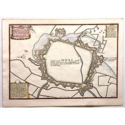
Mons.
Fine engraved map featuring the encampment of Mons, France. Features a detailed drapery cartouche and two other informational cartouches. Engraved by H. Van Loon. Nicolas...
Place & Date: Paris , 1694
Selling price: $12
Sold in 2018
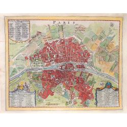
PARIS
A plan of the city of Paris, by N. de Fer, around 1695 - 1742. Published in "Les forces de l'Europe, ou description des principales villes...".
Place & Date: Paris, ca 1695
Selling price: $210
Sold in 2016
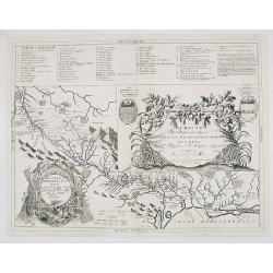
Disegno Idrografico del Canale Reale . . .
A decorative Coronelli map showing the Canal du Midi. It shows the extent of the canal from the Mediterranean sea at Narbonne to Toulouse. Featuring a pair of large coats...
Place & Date: Venice, 1695
Selling price: $100
Sold in 2020
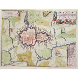
Nanci.
Nice city plan of Nancy with all rivers and canals around the city.
Place & Date: Paris 1696
Selling price: $80
Sold
Calais.
Nice city plan of Calais with all rivers and canals around the city.
Place & Date: Paris 1696
Selling price: $45
Sold
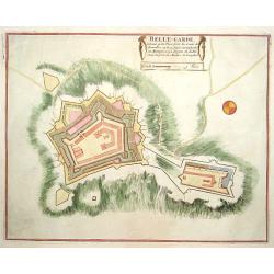
Belle-Garde.
Nice plan of Belle-Garde.
Place & Date: Paris 1696
Selling price: $30
Sold
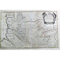
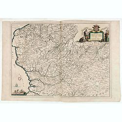
Le Comte d' Artois. Paris, 1693.
Alexis-Hubert Jaillot (1632-1712), French cartographer. He joined the Sanson heirs and redrew Nicolas Sanson's maps on a larger scale. "Atlas Nouveau" (1674), s...
Place & Date: Amsterdam, 1696
Selling price: $250
Sold
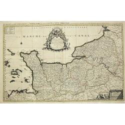
Le Duche et Gouvernement de Normandie divisee en Haute et Basse Normandie. Paris, 1695.
Alexis-Hubert Jaillot (1632-1712), French cartographer. He joined the Sanson heirs and redrew Nicolas Sanson's maps on a larger scale. 'Atlas Nouveau' (1674), sea-atlas '...
Place & Date: Amsterdam, 1696
Selling price: $250
Sold
Brest
Nice city plan of Brest with the fortificationwalls and the chateau.
Place & Date: Paris 1696
Selling price: $60
Sold
Nanci.
Nice city plan of Nancy with all rivers and canals around the city.
Place & Date: Paris 1696
Selling price: $70
Sold
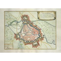
Valenciennes
Nice city plan of Valenciennes.
Place & Date: Paris 1696
Selling price: $70
Sold
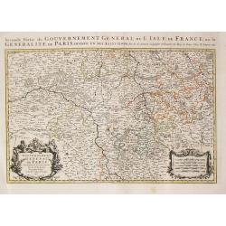
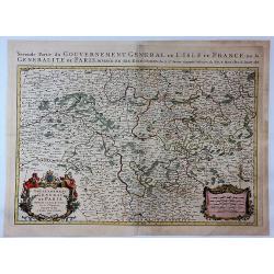
Seconde Partie du Gouvernement General de l\' Isle de France, ou la Generalite de Paris. Paris, 1692.
Alexis-Hubert Jaillot (1632-1712), French cartographer. He joined the Sanson heirs and redrew Nicolas Sanson's maps on a larger scale. 'Atlas Nouveau' (1674), sea-atlas '...
Place & Date: Amsterdam, 1696
Selling price: $120
Sold in 2013
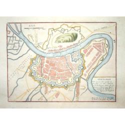
Grenoble.
Nice city plan of Grenoble.
Place & Date: Paris 1696
Selling price: $60
Sold
Calais.
Nice city plan of Calais.
Place & Date: Paris 1696
Selling price: $50
Sold
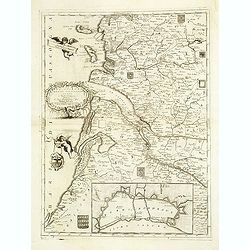
La Guienna, Medoc, Saintonge, Aunis. . .
A beautiful and flamboyantly engraved large-scale map of southwest of France with Bordeaux region with the Isles De Re and Oleron, and an inset plan of the fortified port...
Place & Date: Venice, ca. 1696
Selling price: $420
Sold
Partie Orientale du Temporel de l'Archevesché et Eslectorat de Mayence et le Comte de Remeck.
An attractive map of the eastern part of the Electorate of Mainz (Mayence) and the counties of Wertheim, Reinecke and Wuerzburch. Embellished with a large title and scale...
Place & Date: Paris, 1696
Selling price: $12
Sold in 2019
Partie Occidentale du Temporel de l'Archevesché et Eslectorat de Treves
A fine map centred on Trier and the river Meuse, with its wine region. A figurative title cartouche in upper part and scale cartouche. By N. Sanson in 1692 from “ Les A...
Place & Date: Paris, 1696
Selling price: $35
Sold in 2016
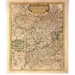
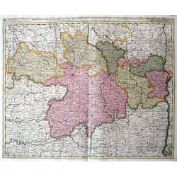
Gouvernement Generalite de Paris Divisee en Eslections.
A fine and detailed map of the region southeast of Paris between Orleans, Troyes and Nevers. From Jaillot’s “Nouvelle Introduction a le Geographie....” Embellished ...
Place & Date: Paris, 1696
Selling price: $125
Sold in 2017
Contea dell' Artesia. Dedicata All' Illustriss, et Eccellentis: S. Bartolomeo Grimani Dal P. Coronelli.
Map of north of France, including Callais From the "Atlante Farnese". In 1683 the Venetians invaded Greece trying to wrest control from the Turks. Starting in t...
Place & Date: Venice, 1696
Selling price: $45
Sold in 2020
Galliae seu Franciae Tabula.
The map is decorated with a beautiful cartouche relating to Neptune and the four elements and with the French coat of arms.
Place & Date: Amsterdam, ca. 1698
Selling price: $300
Sold
Isola d'Oleron.
A beautiful map showing the isle of Oleron, located in the Bay of Biscay off the coast of France, from Vincenzo Coronelli's Corso Geografico Universale.A numbered key of ...
Place & Date: Venice, 1698
Selling price: $240
Sold in 2012
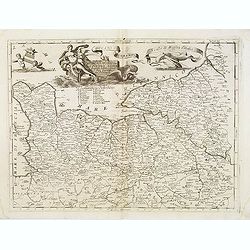
Ducato di Normandi.
A beautiful and flamboyantly engraved large-scale map of Normandy, with a fine title cartouche featuring Leda in her carriage drawn by swans.On verso are plans of Le Havr...
Place & Date: Venice, 1698
Selling price: $360
Sold
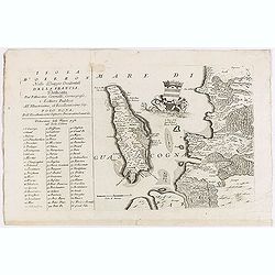
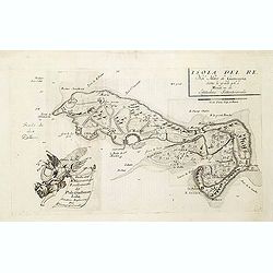
Isola del Re Nel Mare di Guascogna. . .
A beautiful map showing Ile de Ré in Bretagne, located in the Bay of Biscay off the coast of France, from Vincenzo Coronelli's Corso Geografico Universale.Italian text o...
Place & Date: Venice, 1698
Selling price: $360
Sold
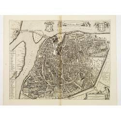
Ichnographia Munitissima Urbis Valentiae Quae Gallice Pronunciatur Valenciennes Belgice.
A detailed large bird's eye city view of Valenciennes, in France, by De Wit. The plan shows individual buildings, streets and trees. The map is adorned by a title cartouc...
Place & Date: Amsterdam, 1698
Selling price: $95
Sold in 2016
Le Royaume de France...
Well engraved 17th century copper engraved map of France. The large title cartouche is surrounded by a plan of Paris and 10 other cities in France.
Place & Date: Paris, 1698
Selling price: $215
Sold in 2019
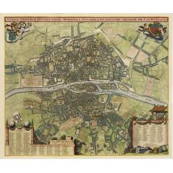
Lutetiae Parisiorum Universae Galliae Metropolis Novissima & Accuratissima Delineatio per F. de Wit cum Privilegio.
Bird-eye view of Paris, with key to the different locations. De Wit used the copper plate of Joannes de Ram from 1690. The plan was made after Jouvin de Rochefort and sho...
Place & Date: Amsterdam, c. 1700
Selling price: $3000
Sold
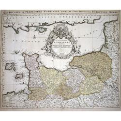
Le Duché et Gouvernement du Normandie diviseé...
Large scale map of Northern France, with excellent detail of La Manche. Latin title "Nova ducatus et praefecturae normanniae tabula, ad usum serenissimi burgundi...
Place & Date: Amsterdam, ca1700
Selling price: $150
Sold in 2009
A New Map of Ancient Gaul or Gallia Transalpina.
A striking map of Ancient France during the time of Augustus Caesar. Includes a wonderful large title cartouche that includes fruit, ribbons and the Gloucester coat of ar...
Place & Date: Oxford, 1700
Selling price: $89
Sold in 2017
Praefectura Lugunensis Generalis...
A very detailed map of a part of South-Central France, centred on the former Auvergne region. Includes the cities of Périgueux, Limoges, Clermont-Ferrand, Montelimar, M�...
Place & Date: Amsterdam, ca 1700
Selling price: $30
Sold in 2016
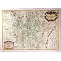
La Lorraine, qui Comprend les Duches de Lorraine et de Bar.
A handsome map of the Lorraine region of France. It includes the cities of Metz, Verdun and Nancy. The topography is detailed with trees, mountains and cities dotting th...
Place & Date: Paris, 1700
Selling price: $41
Sold in 2016
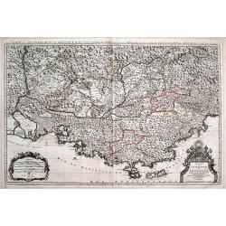
Le Comté et Gouvernement de Provence, divisée en ses vigueries...
Large scale map of Provence with immense detail after Sanson. Extends from Montélimar, Arles, and the Carmargue in the East, until Nice and Stroppo near Cuneo in the Wes...
Place & Date: Amsterdam, ca. 1700
Selling price: $71
Sold in 2016
Delphinatus Praefectura Quae Gallis audit Gouvernement de Daufine.
A very detailed, antique map of the Dauphiné in the southeast of France by G. Valk. On the left the Rhône from Lyon, Vienne, Tournon-sur-Rhône, Valence to Montélimar....
Place & Date: Amsterdam, ca. 1700
Selling price: $21
Sold in 2018
Comté et Gouvernement general de Champagne ou sont la Vraye Champagne, la Brie, le Remois, Retelois, Senonois, la Pertois, Bassigny. . .
A large and detailed map of the Champagne region, a part of Luxembourg in the north, and Auxerre in the south. Filled with place names and topographical information. With...
Place & Date: Amsterdam, ca 1700
Selling price: $50
Sold in 2018
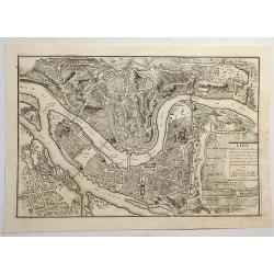
Lion, Ville Tres Considerable du Royaume.
A bird's-eye plan of Lion (Lyon) and vicinity that illustrates the strategic position of its fortifications on the Saône and the Rhône rivers. It provides an excellent ...
Place & Date: Paris, 1700
Selling price: $195
Sold in 2023
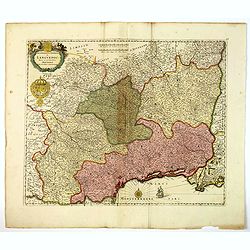
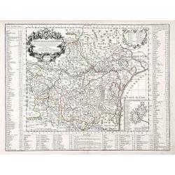
Gouvernement General de Languedoc. Divise en ses Vint Deux Diocesez.
A lovely late seventeenth century map of the central south French region of Languedoc, part of which borders the Mediterranean Sea by Dutch publisher and cartographer, Fr...
Place & Date: Amsterdam, ca 1700
Selling price: $60
Sold in 2019
Die Stadt und der See-Haven Ville franche oder Villa franca, welche im Jahr 1691, dem Herzog von Savoyen durch die Franzosen abgenommen worden.
Detailed map of Villefranche-sur-Mer, including Saint-Jean-Cap-Ferrat, Saint-Michel, and the borders of today's Nice. It shows forts, towers, a few buildings, roads, hill...
Place & Date: Frankfurt, 1702
Selling price: $80
Sold in 2015
Partie Septrentionale Du Duche de Bourgogne. . .
Finely detailed map of the Duchy of Bourgogne, what is now the wine growing region of Burgundy in France by Guillaume de L'Isle. A beautifully illustrated distance key, f...
Place & Date: Paris, 1703
Selling price: $110
Sold in 2010
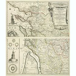
La Generalite de La Rochelle Comprenant le Pays d'Aunis, la Saintonge, &c., Divisee en Cinq Elections . . .
A stunning and strongly engraved map in two sheets and showing La Rochelle, Ile d'Orléron, Ile Ré and the entrance of the river Gironde. The map extends to include Roch...
Place & Date: Paris, 1703
Selling price: $800
Sold in 2011
Veüe de la Chambre des Comptes, la Ste. Chapelle et la Porte Ste. Anne.
Nice view from Veües des plus beaux bâtimens de France, engraved by Perelle, published by Langlois.
Place & Date: Paris, c. 1687-1703
Selling price: $80
Sold in 2011
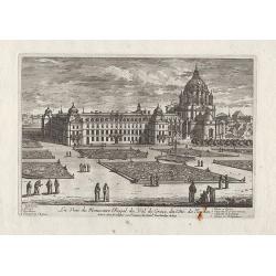
La Veüe du Monastere Royal du Val de Grace, ...
Nice view from Veües des plus beaux bâtimens de France, engraved by Perelle, published by Langlois.
Place & Date: Paris, c. 1687-1703
Selling price: $60
Sold in 2012
La Maison de Vaux le Vicomte ...
Nice view from Veües des plus beaux bâtimens de France, engraved by Perelle, published by Langlois.
Place & Date: Paris, c. 1687-1703
Selling price: $65
Sold in 2012
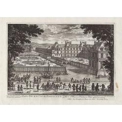
Autre Veüe de la Cour des Fontaines et de la Gallerie d'Ulisse à Fontaine-bleau.
Nice view from Veües des plus beaux bâtimens de France, engraved by Perelle, published by Langlois.
Place & Date: Paris, c. 1687-1703
Selling price: $75
Sold in 2012
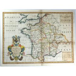
New Map of France Shewing its Principal Divisions, Chief Cities, Townes, Ports, Rivers, Mountains &c. Dedicated to His Highness William Duke of Gloucester...
A striking map of France divided by its provinces, including details such as mountains. The cartouche is splendid, and it includes the Gloucester coat of arms, fruit and ...
Place & Date: Oxford, 1703
Selling price: $57
Sold in 2016
New Map of France Shewing its Principal Divisions, Chief Cities, Townes, Ports, Rivers, Mountains &c. Dedicated to His Highness William Duke of Gloucester....
A striking map of France divided into its provinces, including details such as mountains. The cartouche is splendid, and it includes the Gloucester coat of arms, fruit an...
Place & Date: Oxford, 1703
Selling price: $40
Sold in 2016
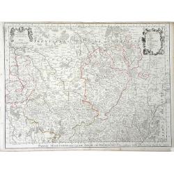
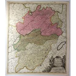
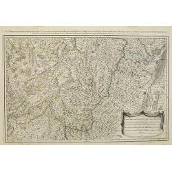
Superior Burgundiae Comitatus Vulgo la Franche Comte. . .
A detailed map of Upper Burgundy and its contiguous regions. Bottom right is a beautiful title cartouche featuring three putti.Gerard Valk (1652–1726) and his son Leona...
Place & Date: Amsterdam, 1703
Selling price: $27
Sold in 2018
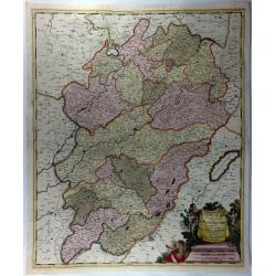
Superior Burgundiae Comitatus; Vulgo La Franche Comte.
A detailed map of Upper Burgundy and its contiguous regions. Bottom right is a beautiful title cartouche featuring three putti.Gerard Valk (1652–1726) and his son Leona...
Place & Date: Amsterdam, 1703
Selling price: $22
Sold in 2018
Le Bois de Boulagne.
A bird’s-eye view of Le Bois de Boulogne in Paris, detailed with paths, walls, trees, buildings, and a compass rose. It features a decorative title cartouche. Nicolas d...
Place & Date: Paris, 1703
Selling price: $14
Sold in 2019
AVENIO Vulgo AVIGNON.
Bird-eye view of Avignon. From the rare town book by Mortier.
Place & Date: Amsterdam 1704
Selling price: $240
Sold
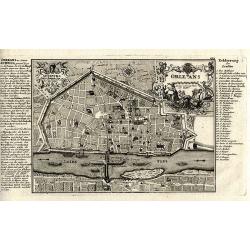
Orleans.
Superb copper-engraved city plan from Bodenehr's "Atlas curieux" published in Augsburg.
Place & Date: Augsburg, c1704
Selling price: $80
Sold in 2012
Parie Meridinale de L'Evesché de Chartres. . .
Map of Central France, centered on Chartres.
Place & Date: Paris, c. 1704
Selling price: $6
Sold in 2010
Carte Du Diocese de Narbonne. . .
Finely detailed map of the Diocese of Narbonne, a Catholic Diocese that existed in southwestern France until the French Revolution, by Guillaume de L'Isle. A nice inset m...
Place & Date: Paris, 1704
Selling price: $65
Sold in 2010
Les prevotez, senechaussee, et comte, qui font partie des Balliages de Vosges ou Mirecour . . .
Map of Vosges including the city of Epinal, Colmar.
Place & Date: Paris, 1704
Selling price: $80
Sold in 2011
Huitième Plan DE PARIS Divisé en ses Vingts Quartiers.
Beautifull plan of Paris showing the new districts built under the reign of Louis XIV. Description and legends in the margins.
Place & Date: Paris 1705
Selling price: $215
Sold
La Rochelle
Nice city plan of La Rochelle with the fortification walls and the port at the ocean.
Place & Date: Paris 1705
Selling price: $40
Sold
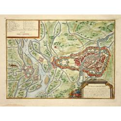
Strasbourg
Nice city plan of Strasburg with the fortification walls at the river Rhine.
Place & Date: Paris 1705
Selling price: $105
Sold
Donquerque
Nice city plan of Donquerque.
Place & Date: Paris 1705
Selling price: $40
Sold
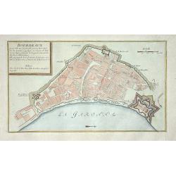
Bordeaux
Nice city plan of Bordeaux.
Place & Date: Paris 1705
Selling price: $50
Sold
