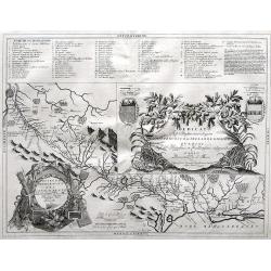
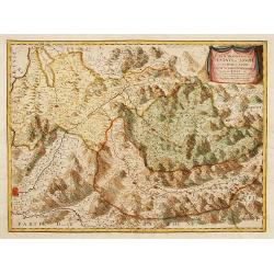
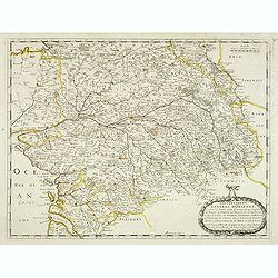
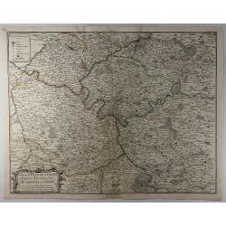
Gouvernement General d'Orleans . . .
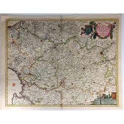
Fine map of south eastern part of France, centered on the river Loire, including Isle d'Ré, S.Malo and Paris in the upper right corner. This edition carries the date 165...
Place & Date: Paris, 1676
Selling price: $100
Sold in 2012
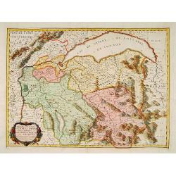
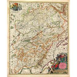
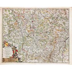
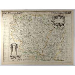
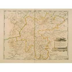
La Lorraine et l'Alsace.
A detailed 1676 copper engraved map of the French wine-making region of Lorraine and Alsace by Du Val. It covers the northeast portion of France along with parts of neigh...
Place & Date: Paris, 1676
Selling price: $190
Sold in 2020
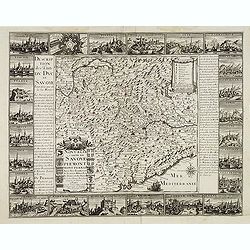
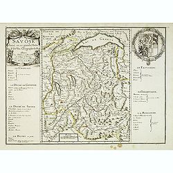
La Savoye divisée en ses Grandes Parties . . .
Detailed map of the province Savoie with fine title cartouche left and coat of arms to the right. Detailed key notions and fine arms right. More about [+]
Place & Date: Paris, 1677
Selling price: $480
Sold
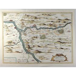
Duche D'Aiguillon.
A striking, unusual 1677 copper engraved regional map of France. Centred on the town of Aiguillon, the map covers the region of Lot-et-Garonne. The map provides excellent...
Place & Date: Paris, 1677
Selling price: $170
Sold in 2019
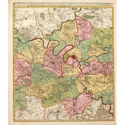
L'Isle de France, le Valois, le Vexin-Francois, le Hurepoix et le Brie.
A highly detailed copper engraved map of the Île-de-France region of France. Centred on Paris, the map is filled with topographic details including cities, towns, villag...
Place & Date: Paris, 1677
Selling price: $35
Sold in 2019
S. Laurens in Franckr. [France].
A very nice view of the town of Laurens in Alsace, with a church. On the foreground, an elephant and a rhinoceros are depicted. With a verse in two languages underneath t...
Place & Date: Frankfurt, 1623-1678
Selling price: $80
Sold in 2010
S. Laurens in Franckr. [France].
A very nice view of a church. On the foreground, an elephant and a rhinoceros are depicted. With a verse in two languages underneath the picture.The poet and topographer ...
Place & Date: Frankfurt, 1623-1678
Selling price: $40
Sold in 2015
S. Victor in Franckr. [The Abbey of St. Victor near Paris.].
A lovely view of the Abbey of St. Victor near Paris. In the foreground, a night watchman is depicted. With a verse in two languages underneath the picture.The poet Daniel...
Place & Date: Frankfurt 1623-1678
Selling price: $10
Sold in 2023
Gouvernement General de l'Ile de France ..
Fine map of Isle de France, centred on ParisThis edition carries the date 1679 and the publishers address A PARIS chez l'Autheur aux Galleries du Louvre. Nicolas Sanson w...
Place & Date: Paris 1679
Selling price: $180
Sold
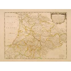
Gouvernement General de Guienne et Gascogne..
Fine map of south western part of France.This edition carries the date 1679 and the publishers address A PARIS chez l'Autheur aux Galleries du Louvre. Nicolas Sanson was ...
Place & Date: Paris 1679
Selling price: $120
Sold
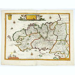
Carte du gouvernement du duché de Bretagne.
Map de Bretagne region. Published by H. Langlois, cartographers, publishers and booksellers at 12 rue de la Seine, Faubourg Saint Germain in Paris. Drawn up by Jean-Bap...
Place & Date: Paris, 1679
Selling price: $500
Sold in 2020
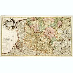
"Le Comté d'Artois et des Environs ou l'on voit le.."
Including the towns of d'Abbeville, Arras, Bapaume, Douai, Valenciennes, Mons, etc.
Place & Date: Amsterdam 1680
Selling price: $200
Sold
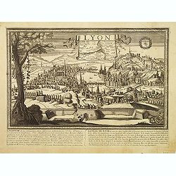
Lyon.
Very rare panoramic view of the town of Lyon. Underneath an historical description of the town in French and Latin. In top a inset map of the region.
Place & Date: Paris, 1680
Selling price: $400
Sold in 2009
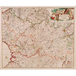
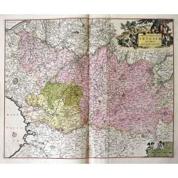
Tabula comitatus ARTESIAE emendata. A. Frederico de Wit.
A fine early engraved map of the region, embellished with two decorative cartouches.
Place & Date: Amsterdam , ca. 1680
Selling price: $100
Sold
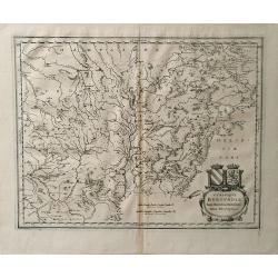
Vtrivsque Burgvndiae Tum Ducatus Tum Comitatus Descriptio.
Map of the Burgundy region of France by Casper Merian from his atlas Topographia Germaniae Inerioris. This wonderfully detailed map depicts major cities such as Toullon, ...
Place & Date: 1680
Selling price: $8
Sold in 2010
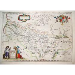
Picardi.
A very well defined map of the Picardi region of France. Two typical regional folk are depicted in the foreground and the royal arms of France are in the top right hand c...
Place & Date: Amsterdam, ca. 1680
Selling price: $125
Sold in 2011
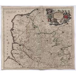
Geographica Artesiae..
Detailed map of a part of France with Calais in the left top corner. Large (colored) cartouche with a coat of arms and putti.
Place & Date: Amsterdam ca.1680
Selling price: $26
Sold in 2014
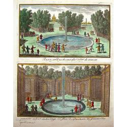
Le Chateau D'Ancy-Le Franc.
Fine hand-colored city view from the book "VIEWS OF THE MOST BEAUTIFUL PLACES OF VERSAILLES" published in Paris by Nicolas Langois in about 1680. The artist was...
Place & Date: Paris, 1680
Selling price: $90
Sold in 2015
L'Hopital de St. Louis.
Fine hand-colored city view from the book "VIEWS OF THE MOST BEAUTIFUL PLACES OF VERSAILLES" published in Paris by Nicolas Langois in about 1680. The artist was...
Place & Date: Paris, 1680
Selling price: $25
Sold in 2016
Les Eaux et les Environs de Chauille.
Fine hand-colored city view from the book "VIEWS OF THE MOST BEAUTIFUL PLACES OF VERSAILLES" published in Paris by Nicolas Langois in about 1680. The artist was...
Place & Date: Paris, 1680
Selling price: $80
Sold in 2018
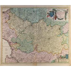
Tabula comitatus Artesiae emendata...
A large-scale map of Nord-Pas-de-Calais, packed with incredible detail. Even the smallest villages are shown, including a network of roads, rivers, forests, etc. With Cal...
Place & Date: Amsterdam, ca 1680
Selling price: $60
Sold in 2016
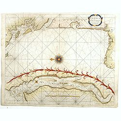
The Sea Coasts of France from Olone to Cape Machiacaca in Biscay.
Detailed chart of Biscay Bay, showing the Coast of Southwestern France and Northwestern Spain, originally engraved by John Seller, here with the address "Sold by Ri....
Place & Date: London, ca. 1680
Selling price: $450
Sold
The Sea Coasts of France from Ufhent to Olone . . .
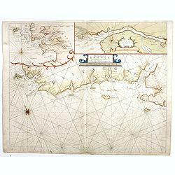
Detailed chart of Biscay Bay, showing the Coast of Brittany. The chart is oriented with north-east at the top and includes two large insets of the Loire River with Nantes...
Place & Date: London, ca. 1680
Selling price: $500
Sold
Bergue Ste. Vinox.
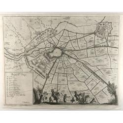
An interesting city map of Bergues, France by Bouttats in 1690. Featuring an aerial plan with its fortifications and surrounding landscape. A military-themed scene and a ...
Place & Date: Antwerp, 1680
Selling price: $32
Sold in 2019
Arrivée du roi devant Douai qu'il fait investir par sa cavalerie
Showing the arrival of Louis XIV arriving near Douai. This fine engraving shows a landscape with, in the foreground, men loading donkeys in the foreground, beyond at left...
Place & Date: Paris, ca. 1680
Selling price: $250
Sold in 2021
Arx et Oppidum Montismeliani.
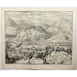
A prospect of Montmélian, a fortress guarding the stategic bridge over the Isère River, with an inset plan of the fortress walls. It is in the Auvergne-Rhône-Alpes reg...
Place & Date: Amsterdam, 1682
Selling price: $120
Sold in 2018
(Annecy) Annessium vulgo Annessy.
Showing in great detail a bird's-eye view of the city of Annecy, decorated with the coat of arms of the Duchy of Savoy carried by angels. In bottom numbered key.From &quo...
Place & Date: Amsterdam, 1682
Selling price: $50
Sold in 2020
Moustiers. [Moûtiers]
Showing in great detail a bird's-eye view of the city of Moûtiers, decorated with the coat of arms of the Duchy of Savoy hold by angels. In bottom lettered key.From &quo...
Place & Date: Amsterdam, 1682
Selling price: $60
Sold in 2020
Abbaye d'Hautecombe. [Hautecombe Abbey]
Showing in great detail a bird's-eye view of the Hautecombe Abbey, a former Cistercian monastery, later a Benedictine monastery, in Saint-Pierre-de-Curtille near Aix-les-...
Place & Date: Amsterdam, 1682
Selling price: $50
Sold in 2020
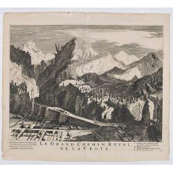
Le Grand Chemin Royal de la Crote.
Showing in great detail a bird's-eye view of Le Grand Chemin Royal de la Crote. In bottom a lettered key.From "Theatrum Sabaudiæ". Engraved by Johannes de Ram ...
Place & Date: Amsterdam, 1682
Selling price: $50
Sold in 2020
Le Grand Chemin Royal de la Crote.
Showing in great detail a bird's-eye view of Le Grand Chemin Royal de la Crote. In bottom a lettered key.From "Theatrum Sabaudiæ". Engraved by Johannes de Ram ...
Place & Date: Amsterdam, 1682
Selling price: $100
Sold in 2021
Moustiers. [Moûtiers]
Showing in great detail a bird's-eye view of the city of Moûtiers, decorated with the coat of arms of the Duchy of Savoy hold by angels. In bottom lettered key.From &quo...
Place & Date: Amsterdam, 1682
Selling price: $150
Sold in 2020
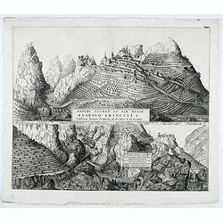
Oppidi Saurgii et viae Regiae a Carolo Emanuele I.
Showing in great detail a bird's-eye view of the city of Saorge, located in Alpes Maritimes in France.From "Theatrum Sabaudiæ". Engraved by Johannes de Ram.Joa...
Place & Date: Amsterdam, 1682
Selling price: $150
Sold in 2021
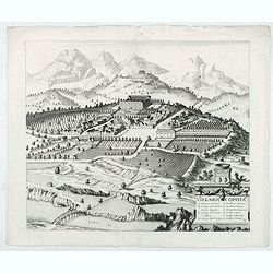
Villarium Oppidu.
Showing in great detail a bird's-eye view of the city of Villar sur Var, located in near from Nice.From "Theatrum Sabaudiæ". Engraved by Johannes de Ram.Joan B...
Place & Date: Amsterdam, 1682
Selling price: $100
Sold in 2022
Hospitelum.
Showing in great detail a bird's-eye view of the city of Sospel, located in near from Nice and Monaco.From "Theatrum Sabaudiæ". Engraved by Johannes de Ram.Joa...
Place & Date: Amsterdam, 1682
Selling price: $120
Sold in 2022
Rupes Allobrogum vulgo La Roche.. [La Roche]
Showing in great detail a bird's-eye view of the city. From "Theatrum Sabaudiæ". Engraved by Conraet Decker.Joan Blaeu published during his life three town-boo...
Place & Date: Amsterdam, 1682
Selling price: $50
Sold in 2020
Civitas Sancti Joannis Maurianensis. (Saint Jean de Maurienne)
Showing in great detail a bird's-eye view of the town of Saint Jean de Maurienne in the Savoy region of the French Alps. From "Theatrum Sabaudiæ". Joan Blaeu p...
Place & Date: Amsterdam, 1682
Selling price: $100
Sold in 2020
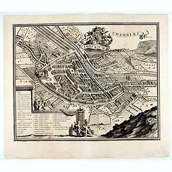
Chamberium Chambery
Showing in great detail a bird's-eye view of the city of Chambery, decorated with the coat of arms of the Duchy of Savoy hold by angels. In bottom lettered key.From "...
Place & Date: Amsterdam, 1682
Selling price: $90
Sold in 2020
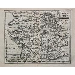
Galliae Veterus. Petrus Kaerius Caelavit.
Philippe Cluverius (1580-1622), geographer of Danzig, settled in Leiden (Holland) specialized in Near Easrt and Ancient Geography. His main works ' Geographicus Academicu...
Place & Date: Amsterdam, 1683
Selling price: $60
Sold in 2009
De haven van S.Malo.
The famous van Keulen publishers of nautical atlases existed over more than 200 years. Founded by Johannes van Keulen (1654 -1715) it reached its zenith under his son Ger...
Place & Date: Amsterdam, 1683
Selling price: $70
Sold in 2018
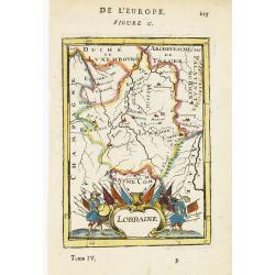
Lorraine.
Map of Lorraine, with decorative title cartouche. From the French text edition of Description d'Univers, 1683. by Allain Manneson Mallet (1630-1706), a well traveled mili...
Place & Date: Paris, 1683
Selling price: $20
Sold in 2012
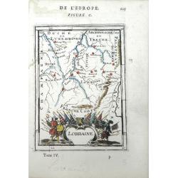
Lorraine
Small scale map Lorraine, a region of northeastern France, by Allain Manesson Mallet's Description de L'Univers. Also includes the surrounding regions of Champagne, Luxem...
Place & Date: Paris, 1683
Selling price: $65
Sold in 2010
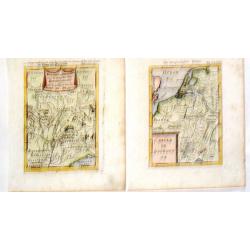
Royaume de Bourgogne Sous la Race des Roys & Cercle de Bourgogne.
Pair of Mallet maps featuring the Bourgogne region of France including Provence, Lombardie, Savoy, Champagne etc. Each has an appropriate cartouche.Alain Manesson Mallet ...
Place & Date: Paris, 1683
Selling price: $8
Sold in 2015
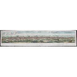
Paris.
Charming and early view of Paris from the book by Christoph Riegel, Ausführliche und grundrichtige Beschreibung deß Königreichs Franckreich, published in Frankfurt and...
Place & Date: Frankfurt and Leipzig, 1683
Selling price: $25
Sold in 2014
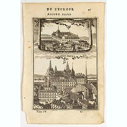
Chasteau Neuf. Chasteau Vieux.
Charming view of Château Neuf and Château Vieux in France.Title in curtain draped at top. French text on verso.From the original 1683 text edition of "Description ...
Place & Date: Paris, 1683
Selling price: $10
Sold in 2020
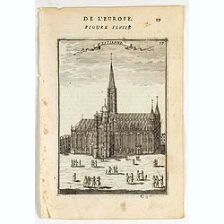
St. Estienne.
Charming view of St. Etienne church in France.Title in curtain draped at top. French text on verso.From the original 1683 text edition of "Description d'Univers. . ....
Place & Date: Paris, 1683
Selling price: $15
Sold in 2020
[ Carte de Franche Comté]
A small map of Franche Comté region, with several inserts for the main cities of this region. French text on verso.From the original 1683 text edition of "Descrip...
Place & Date: Paris, 1683
Selling price: $10
Sold in 2020
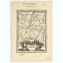
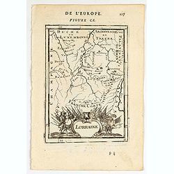
[ Carte de Lorraine]
A small map of Lorraine region, with several inserts for the main cities of this region.
Place & Date: Paris, 1683
Selling price: $10
Sold in 2020
Lorraine.
Map of Lorraine region in FranceFrench text on verso.From the original 1683 text edition of "Description d'Univers. . ." by Allain Manesson Mallet (1630-1706), ...
Place & Date: Paris, 1683
Selling price: $10
Sold in 2020
Lorraine.
Map of Lorraine region in FranceFrench text on verso.From the original 1683 text edition of "Description d'Univers. . ." by Allain Manesson Mallet (1630-1706), ...
Place & Date: Paris, 1683
Selling price: $10
Sold in 2020
Nancy.
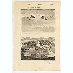
An eye's bird view of Nancy. Title in curtain draped at topFrom the original 1683 text edition of "Description d'Univers. . ." by Allain Manesson Mallet (1630-1...
Place & Date: Paris, 1683
Selling price: $10
Sold in 2020
Besançon.
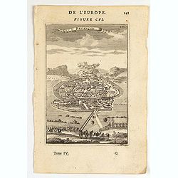
An eye's bird view of Besançon.Title in curtain draped at topFrom the original 1683 text edition of "Description d'Univers. . ." by Allain Manesson Mallet (163...
Place & Date: Paris, 1683
Selling price: $10
Sold in 2020
Gallia Vetus ad Julij Caesaris Commentaria.
A striking, detailed, copper engraved map of Gallia or Ancient France at the time of Julius Caesar. It is based on information from Caesar's "De Bello Gallico"....
Place & Date: Amsterdam, 1684
Selling price: $83
Sold in 2019
De Zee Custen van Vrancryck tusschen Swartenes en C.de la Hague, Als mede de Custen van Engelandt. . .
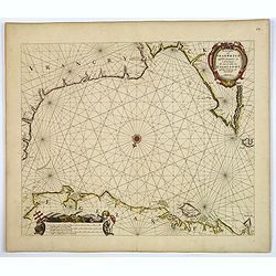
A decorative late seventeenth century sea chart by Doncker, showing the south coast of England from Sandwich (Kent) to Portland Bill (Dorset), and the French coastline fr...
Place & Date: Amsterdam, ca 1686
Selling price: $375
Sold in 2018
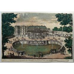
Veiie et perspective du Chateau de St, Cloud du Cote de L'Escalier.
An original antique perspective print by Pierre Aveline. In 1685 he obtained royal authority authorising him to reproduce 'Le Profil des Maisons Royales'. Pierre Aveline...
Place & Date: Paris, 1687
Selling price: $20
Sold in 2018
Veiie perspective du Parterre des Cascades et de L'Etang de Fontine - Bleau.
An original antique perspective print by Pierre Aveline. In 1685 he obtained a royal authority authorising him to reproduce 'Le Profil des Maisons Royales'. Pierre Aveli...
Place & Date: Paris, 1687
Selling price: $35
Sold in 2018
[ France ]
Charming wood block map of France by the Italian XVIth and XVIIth century writer, humanist and cartographer Giuseppe Rosaccio. Taken from the 1688 Bologna "Teatro de...
Place & Date: Bologna, Antonio Pisarri, 1594 - 1688
Selling price: $150
Sold in 2011
Dedicato Agli Illustrissimi Signori Gio. Francesco, Girolamo, e Giovanni Querini...
Map of the Royal Canal, or Canal du Midi, in Southern France by Vincenzo Coronelli. The beautiful, decorative title cartouche is flanked by the coat of arms for the Langu...
Place & Date: Venice, 1688
Selling price: $220
Sold in 2010
Nova Et Esatta Tavola Del Regno Di Francia..
Rossi's map of France, based upon Sanson's map, but with revised Italian nomenclature. The engraver was Giorgio Widman.In lower left corner a tittle cartouche. The cartog...
Place & Date: Rome, 1677-1688
Selling price: $100
Sold in 2015
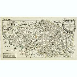
Le Haut et Bas Poictou. . .
Uncommon centered map of French province Poitou with fine title cartouche upper right.More about [+]
Place & Date: Paris, 1689
Selling price: $350
Sold in 2012
Il Ducato Dibar - Il Ducato Lorena.
A truly remarkable, large map with three decorative cartouches. It features a high degree of detail of the Duchies of Bar and Lorena in France.Giacomo Cantelli da Vignola...
Place & Date: Rome, 1689
Selling price: $110
Sold in 2013
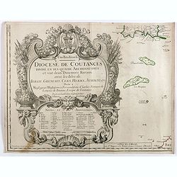
Diocese de Coutances, divisé en ses quatre archidiaconés . . .
Lower left sheet of this rare 4-sheet wall map, showing mainly a title cartouche with the islands of Minquiers and Banes Grélets to the right. In top right tip of Britan...
Place & Date: Paris, ca. 1689
Selling price: $60
Sold in 2017
Partie Meridionale des Estats de Savoye..
"Map of Savoie. With original or early outline hand-color. Numerous place-names of counties, cities, towns, physical features. Prepared by N.Sanson.This edition carr...
Place & Date: Paris 1690
Selling price: $240
Sold in 2009
Partie Septentrionale des Estats de Savoye..
Map of Savoy. With original or early outline hand-color. Numerous place-names of counties, cities, towns, physical features. Prepared by N.Sanson.This edition carries the...
Place & Date: Paris 1690
Selling price: $340
Sold
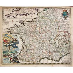
Galliae seu Francia Tabula.
Frederik de Wit (1610-98), Amsterdam-based cartographer and publisher of 'Atlas minor', 1670, 'Zee-Atlas', 1675, 'Atlas Major', 1690.A very attractive map of France. Embe...
Place & Date: Amsterdam, F. de Wit, c.1690
Selling price: $225
Sold
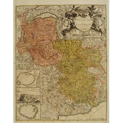
Les Etats de Savoye et de Piemont..
With a panoramic inset view of Chambery, and insets of plans of Yvrée, Montmelian, Nice, Turin, Verrue, Vercelli. Showing the Mediterranean coastline from Antibe, Nice t...
Place & Date: Paris, 1690
Selling price: $325
Sold
Carte Particulire du terroir et des Environs de Paris qui est la plus grande partie de L' Isle de France.
Frederik de Wit (1610-98), Amsterdam-based cartographer and publisher. 'Atlas minor', 1670, 'Zee-Atlas', 1675, ' Atlas Major', 1690.Nicolas Visscher's attractive map of I...
Place & Date: Amsterdam, Wit, F. de, 1690
Selling price: $80
Sold in 2020
Comitatus Burgondiae.
Frederik de Wit (1610-98), Amsterdam-based cartographer and publisher. ' Atlas minor', 1670, ' Zee-Atlas', 1675, 'Atlas Major', 1690.An attractive map of Burgondy. Embell...
Place & Date: Amsterdam, F. de Wit, c.1690
Selling price: $140
Sold in 2014
La Francia Antica, e Moderna Dedicata.
A beautiful and rare map in two sheets showing France. To the left coats of arms of the different provinces. With a dedication to Michael Sagramoso. The remarkable Vincen...
Place & Date: Venice, 1690
Selling price: $750
Sold in 2012
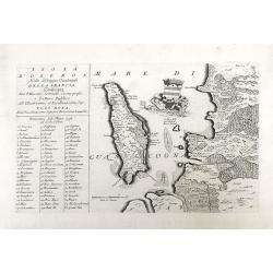
Isola D'oleron Nelle Piaggie Occidentali della Francia, Dedicata Dal P. Maestro Coronelli, coscmografo et Lettore Publico all Illustrisimo, et Eccellentissimo Sig. Polo Dona...
A beautiful map showing the isle of Oleron, located in the Bay of Biscay off the coast of France, from Vincenzo Coronelli's Corso Geografico Universale. A numbered key of...
Place & Date: Venice, 1690
Selling price: $200
Sold in 2010
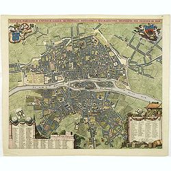
Lutetiae Parisiorum universae Galliae metropolis novissima & accuratissima delineatio per Joannem de Ram.
Rare town-plan showing Paris around 1685, decorated at the left coats of arms of Paris, carried by putti. In the bottom two cartouches with a numbered key pointing to str...
Place & Date: Amsterdam, 1690
Selling price: $1800
Sold
La Francia Antica, e Moderna Dedicata.
A beautiful and rare map in two sheets showing France. To the left coats of arms of the different provinces. With a dedication to Michael Sagramoso. The remarkable Vincen...
Place & Date: Venice, 1690
Selling price: $850
Sold in 2011
Vue de Chateau des Jardins et du Canal de Chantilly.
This print is from "Veues des Plus Beaux Lieux de France et d'Italie" published in Paris by Nicolas Lanlois in 1690. The prints in this book showcased the chate...
Place & Date: Paris, 1690
Selling price: $51
Sold in 2013
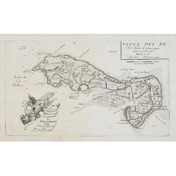
Isola de Re, nel Mare di Guascogna . . .
A beautiful and rare map showing Isle de Ré. The title cartouche is held by and trumpet-blowing angel.The remarkable Vincenzo Coronelli (1650-1718), encyclopaedist, geog...
Place & Date: Venice, 1690
Selling price: $360
Sold
Generalis Lotharingiae Ducatus Tabula
Frederik de Wit (1610-98), Amsterdam-based cartographer and publisher. ' Atlas minor', 1670, ' Zee-Atlas', 1675, ' Atlas Major', 1690.An attractive map of Lorraine. Embel...
Place & Date: Amsterdam, F. de Wit, c.1690
Selling price: $80
Sold in 2020
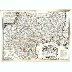
Le gouvernement général de Languedoc divisé en Haut et Bas Languedoc et Sévennes par N. de Fer, géographe de sa majesté catolique. . .
Scarce map by J.-B. Nolin, after Sr. Tillemon.
Place & Date: Paris, ca. 1690
Selling price: $100
Sold in 2015
Geographica Artesiae Comitatus Tabula.
A fine large map of the region of Artois by Nicolaes Visscher II, produced in Amsterdam in 1690. Beautiful embellishments such as decorative cartouches, five putti, and ...
Place & Date: Amsterdam, 1690
Selling price: $58
Sold in 2021
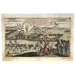
Fortezza d' San Giob Presa dell'Armi Imperiali li 12 Febraro 1686.
Striking, decorative, copper engraved plate showing the siege of St. Giob Fortress in Budepest, Hungary in 1686.
Place & Date: Paris, ca. 1690
Selling price: $20
Sold in 2019
Novissima Artesiae Comitatus Tabula.
A fine original color example of Justus Danckerts map of Artois in France, published in Amsterdam in 1690. It features a decorative cartouche with eight putti.Justus Danc...
Place & Date: Amsterdam, 1690
Selling price: $36
Sold in 2022
Nouvelle carte de Savoye et Piemont . . .
Detailed and decorative "carte à figures"- map of Lombardy / Savoye, including a part of Switzerland and Italy and published by François Jollain (ca. 1641 –...
Place & Date: Paris, 1691
Selling price: $2400
Sold
![S. Laurens in Franckr. [France].](/uploads/cache/13752-250x250.jpg)
![S. Laurens in Franckr. [France].](/uploads/cache/13740-250x250.jpg)
![S. Victor in Franckr. [The Abbey of St. Victor near Paris.].](/uploads/cache/13751-250x250.jpg)



![Moustiers. [Moûtiers]](/uploads/cache/45418-250x250.jpg)
![Abbaye d'Hautecombe. [Hautecombe Abbey]](/uploads/cache/45420-250x250.jpg)

![Moustiers. [Moûtiers]](/uploads/cache/45507-250x250.jpg)

![Rupes Allobrogum vulgo La Roche.. [La Roche]](/uploads/cache/45944-250x250.jpg)


![[ Carte de Franche Comté]](/uploads/cache/46493-250x250.jpg)
![[ Carte de Lorraine]](/uploads/cache/46494-250x250.jpg)


![[ France ]](/uploads/cache/30322-250x250.jpg)
