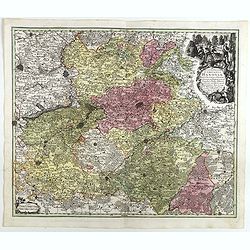
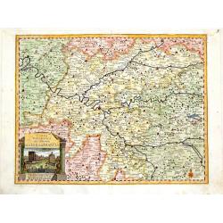
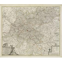
Comitatus Hanoviae . . .
A fine impression of this decorative map centered on Mons and Valenciennes with its uncolored title cartouche.Matthaus Seutter the elder first published his "Atlas G...
Place & Date: Augsbourg, 1730
Selling price: $47
Sold in 2018
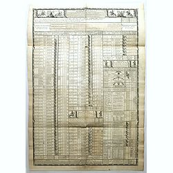
Cavalerie legere françoise et etrangere régimentée sous Louis XIII en 1635. Neuviémz feuille.
Table showing the structure of The regiment of the Kings Cavalry which was a regiment of the cavalry of the Kingdom of France created in 1635 (then regiment of dragons). ...
Place & Date: Paris, ca. 1731
Selling price: $50
Sold in 2019
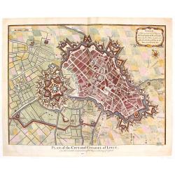
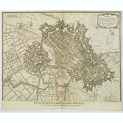
Plan of the City and Citadel of Lisle. (Lille)
Detailed city plan of the city and citadel of Lille in northern France. It is from Mr. Tindal's continuation of Mr. Tindal's "HISTORY OF ENGLAND" published in L...
Place & Date: London, 1732
Selling price: $45
Sold in 2020
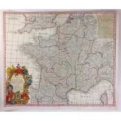
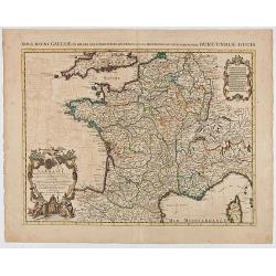
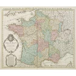
Le Royaume de France
A beautiful map of France, engraved with place names, mountains, rivers, lakes and more. It extends to include Corsica, portions of Spain, Italy, Helvetica and England. T...
Place & Date: Augsburg, 1734
Selling price: $60
Sold in 2016
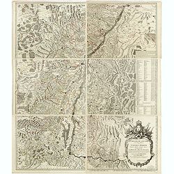
Le Theatre de la Guerre sur le Haut Rhein ou Cours du Rhein. . .
Very detailed six sheet map of Alsace centered on River Rhine.Gilles Robert de Vaugondy (1688–1766), also known as Le Sieur or Monsieur Robert, and his son, Didier Robe...
Place & Date: Paris, 1735
Selling price: $1750
Sold
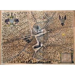
Steenvoorde.
An unusual birds-eye view of Steenvoorde, a commune in the Nord department in northern France. Engraved by Reynier Blokhuysen. Highly detailed with buildings, streets, pe...
Place & Date: The Hague, Jan van der Deyster, 1735
Selling price: $90
Sold in 2020
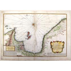
Nouvelle Carte du golfe de Marseille.
Highly detailed, very large, copper engraved map depicting the bay of Marseille. The map is oriented with North on bottom right and decorated with a large compass rose. ...
Place & Date: Paris, 1736
Selling price: $179
Sold in 2014
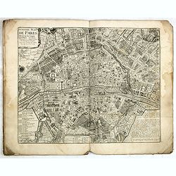
Traité de la Police. (8 plans of Paris).
Set of eight city plans of Paris, each map showing Paris from the time of Julius Caesar to Paris in 1705. The plate volume of Nicolas Delamare’s "La Traité de la ...
Place & Date: Paris, 1705-1738
Selling price: $1500
Sold
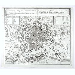
Accurata Repraesentatio ichnographica Urbis Episcopalis in Ducatu Lotharingiae, dictae Metae, antiquis Divodorum Mediomatricorum . . .
Map of Metz after a design of W. Zollmann.
Place & Date: Nuremberg, 1738
Selling price: $55
Sold in 2021
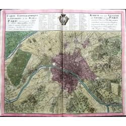
Carte Topographique des Environs & du Plan de Paris levée par Msr. l'Abbé Delagrive & copiée selon l'original Parisien. . .
An unusual plan of old Paris, based on Abbé Jean Delagrive's map of 1738. In the map many of today's city districts appear as villages. Highly detailed, showing the terr...
Place & Date: Nuremberg, 1739
Selling price: $338
Sold in 2019
Franciae status sub regibus primae stirpis,. . ./ Etat de la France sous les rois de la première race. . .
A historical map of France depicting the region at the beginning of the Middle Ages. It depicts the kingdom of Clovis, the Founder of France, as it was divided among his ...
Place & Date: Paris, 1740
Selling price: $40
Sold
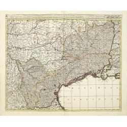
Praefectura generalis Languedociae olim Occitania.
Detailed map of Languedoc and contiguous regions. Published by Gerard and Leonard Valk.
Place & Date: Amsterdam, 1740
Selling price: $200
Sold in 2011
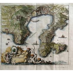
Villa Franca.
Unusual anonymous map of Villefranche-sur-Mer! Extends to Saint-Jean-Cap-Ferrat. Small but very detailed map, with fields, roads, towers, forts, etc.The title is in Frenc...
Place & Date: Germany, c1740
Selling price: $75
Sold in 2012
Carta Geografica del Governo del l\'Isola de Francia.
Fine copperplate hand-colored map of Paris and its surroundings. Features the region of Isle de France. Decorated by a splendid cartouche showing the Fontainbleau Palace....
Place & Date: Venice, 1740
Selling price: $95
Sold in 2013
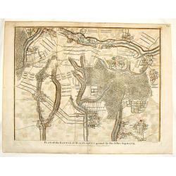
Plan of the Battle of Malplaquet Gained By the Allies Sep.11, 1709.
Detailed hand-colored plan of the bloodiest battle of the 18th century, fought during the War of the Spanish Succession (1701-14). Paul de Rapin (1661-1725) was a French...
Place & Date: London, 1740
Selling price: $31
Sold in 2016
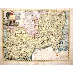
Carta Geographica del Governo della Linguadocca.
Nice hand colored map of the French Mediterranean, centered on Marseilles. Decorative cartouche of the countryside. Beautifully engraved by Giambattista Albrizzi.
Place & Date: Venice, 1740
Selling price: $81
Sold in 2016
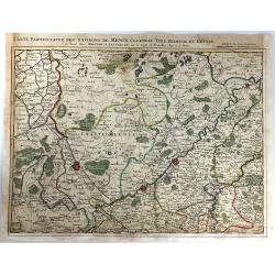
Carte Particuliere des Environs de Menin, Courtray, Ypre, Dixmude et Deynse
An engraved map of the region. Includes the cities of Menin, Courtray, Ypre, Dixmude and Deynse. The title appears above the map with the scale with the names of Covens a...
Place & Date: Amsterdam, 1740
Selling price: $55
Sold in 2016
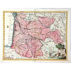
Carta Geografica del Governo di Guienna e Guascogna
A map of South Western France from "Atlante Novissimo che Contiene Tutte le Parti del Mondo". The map shows the region from La Rochelle, south to the Pyrenées ...
Place & Date: Venice, 1740
Selling price: $27
Sold in 2016
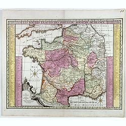
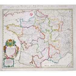
Les routes exactes des Postes du Royaume de France.
post road maps map of France. Seutter the elder (1678-1757) was apprenticed to Johann Baptist Homann in the last years of the seventeenth century in Nuremberg, however, a...
Place & Date: Augsburg, 1740
Selling price: $80
Sold in 2016
Environs de Paris Levés géométriquement par M. l'Abbé De La Grive. . .
Nine detailed maps of the environs of Paris, including Versailles and Saint-Cloud, each map is on a double sheet with its original centerfold. This remarkable collection ...
Place & Date: Paris, 1740
Selling price: $3700
Sold in 2017
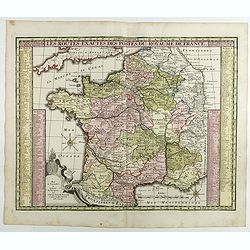
Les routes exactes des Postes du Royaume de France.
post road maps map of France. Seutter the elder (1678-1757) was apprenticed to Johann Baptist Homann in the last years of the seventeenth century in Nuremberg, however, a...
Place & Date: Augsburg, 1740
Selling price: $50
Sold in 2017
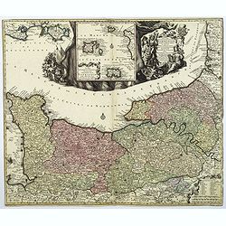
Duche et Gouvernment General de Normandie. . .
A splendid map of Normandy by the German cartographer Seutter, published in the first half of the eighteenth century. Map stretches from Cherbourg in the west, to Alecon ...
Place & Date: Augsburg, ca 1740
Selling price: $140
Sold in 2018
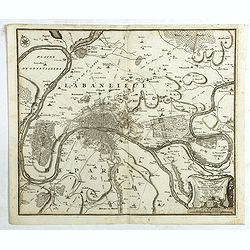
Typus choro-Topographicus regiae et totius Orbis celebrrimae urbis Lutetiae Parisiorum. . .
Map of Paris and its surrounding areas, covering more or less present-day Paris.Matthaus Seµtter the elder first published his "Atlas Geographicus" in 1720 and...
Place & Date: Augsburg, ca. 1740
Selling price: $100
Sold in 2021
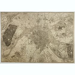
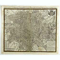
Le plan de Paris et ses Faubourgs et ses environs . . .
Plan of Paris.Matthaus Seutter the elder first published his "Atlas Geographicus" in 1720 and added to the contents in subsequent editions under the title "...
Place & Date: Augsburg, ca. 1740
Selling price: $220
Sold in 2018
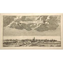
La Citta di Strasburgo o Sia Argentina.
Fine city view engraving of Strasburg, France by Thomas Salmon. Published in Rome by Giambattista Albrizzi in 1740.Giambattita Albrizzi was a famous Venetian publisher an...
Place & Date: Venice, 1740
Selling price: $7
Sold in 2023
Plan of the City and Citadel of Lisle.
An elaborate bird's-eye view of the fortifications and city of the northern French town of Lisle, and the surrounding countryside. With fortifications shown in great deta...
Place & Date: London, 1740
Selling price: $30
Sold in 2020
La France Dressée sur un grand nombre de Cartes particulières manuscrites ou imprimées levées sur les lieux et conférées avec les Itinéraires
Decorative map of France prepared by G. de l'Isle and re-issued by Covens and Mortier.
Place & Date: Amsterdam, ca. 1740
Selling price: $45
Sold in 2020
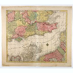
La plus grande partie de la Manche, qui contient les Côtes d'Angleterre...
Map of the English Channel. With a large decorative vignette cartouche which includes Neptune and his sea horses, Apollo, a sailing ship, and other allegorical figures.T....
Place & Date: Augsburg, 1740
Selling price: $80
Sold in 2021
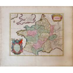
Gallia vetus ex C.Iulii Caesaris Comentariis Descripta.
Sanson map of France republished by the Covens and Mortier firm, with fine color. Depicts France described by Julius Caesar marking the locations of tribes and ancient to...
Place & Date: Amsterdam, 1741
Selling price: $65
Sold in 2010
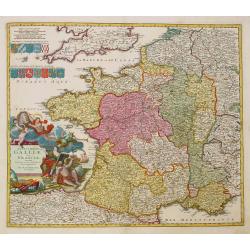
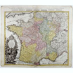
Regni Galliae seu Franciae et Navarrae.
A secondary title in French above the map : "Carte de France dressée par Guillaume de L'Isle et accomodée par les Heritiers d'Homann. With a large decorative title...
Place & Date: Nuremberg, 1741
Selling price: $100
Sold in 2021
Plan of the Army of the Allies to Cover the Siege of Douay.
Fine detailed plan of the Siege of Douay in 1710. Copper engraving featuring the city of Douay and the Fort of Scarpe. Nicholas Tindal (1687-1774) / Paul de Rapin (1661-...
Place & Date: London, 1742
Selling price: $15
Sold in 2016
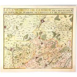
Les Environs de Cambray, de Crevecoeur, de Bapaume, De Perrone, Du Catelet de St. Quentin
A map showing the north part of France near Cambray on the Scheldt River, by Nicolas de Fer in Paris in 1724. It was published by Chez Le Benard.Nicolas de Fer (1646-172)...
Place & Date: Paris, 1743
Selling price: $17
Sold in 2019
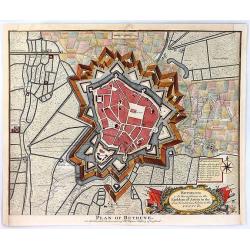
Plan of Bethune
An old detailed antique battle plan of Bethune in France showing the bastions, rivers, canals and fortifications outside the city and the shelling during the Spanish Succ...
Place & Date: London, 1743
Selling price: $39
Sold in 2016
Plan of the City of Aire and of Fort St. Francis with a View of St. Venant
A very strong City and Castle in the Low Countries, in the Earldom of Artois, taken by the Allies in 1710, but restored to the French by the Treaty of Utrecht. The map is...
Place & Date: London, 1743
Selling price: $30
Sold in 2016
Plan of the Battle of Wynendal, Between the Troops of the Allies Commanded by Major Gen. Webb
A copper engraved battle plan between Major General Webb and Count de la Motte, with actual miniature pictures of the troupes. With a very fancy rococo cartouche, with ca...
Place & Date: Paris, 1743
Selling price: $30
Sold in 2016
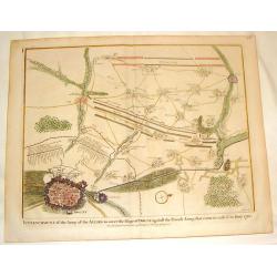
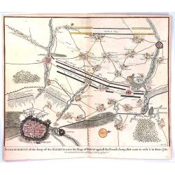
Entrenchment of the Army of the Allies to cover the Siege of Douay ...
An antique old battle plan of the fortified Town of Douai, France during the War of Spanish Succession (1701-1713) with surrounded area. The map shows the preparation of ...
Place & Date: London, 1743
Selling price: $41
Sold in 2016
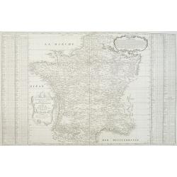
Nouvelle carte qui comprend les principaux Triangles qui servent de Fondement à la Description géométrique de la France. . .
Detailed map of France, showing city of Paris, Calais, Perigueux, Nantes, Marseille, Avignon, Reims…To the left and to the right 2 cartouches with the list of principal...
Place & Date: Paris, ca. 1744
Selling price: $450
Sold
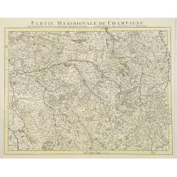
Partie Meridionale De Champagne. . .
Very detailed, topographical map of the southern Champagne. Showing fortified cities, roads, towns, rivers, lakes, forests, etc. The map is from a Dutch edition of De L'I...
Place & Date: Amsterdam c. 1745
Selling price: $180
Sold
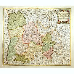
Le Gouvern.t Général du Dauphiné. . .
With decorative cartouche with dolphins.
Place & Date: Paris, 1745
Selling price: $350
Sold
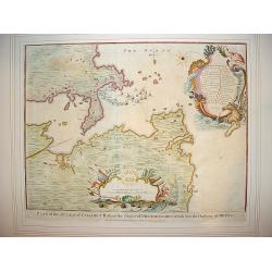
"Plan of Attack of Camaret Bay, on the Coast of Bretagne ..."
An interesting and attractive map of Camaret bay in Brittany. The piece depicts a battle scene between British and French naval forces in the vicinity of Brest.It feature...
Place & Date: London, ca 1745
Selling price: $200
Sold in 2008
Le cours du Rhin de Bale à Hert près Philisbourg contenant L\'Alsace et partie du Brisgau..
The first map of the Rhine valley on such a large scale. To the lower left a scale cartouche and a small inset of Basle.With fine title cartouche upper rightLe Rouge (171...
Place & Date: Paris, 1745
Selling price: $325
Sold in 2008
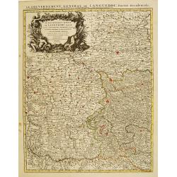
Le Gouvernement General de Languedoc Divisé..
Detailed map of the Southwest of France centred on Toulouse. The map is densely engraved with information with particular emphasis on the fortified cities, which are coll...
Place & Date: Amsterdam c. 1745
Selling price: $140
Sold
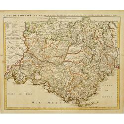
Carte de Provence et des Terres Adjacentes.
Topographically detailed map of the region of Provence in south-eastern France. Relief shown pictorially.The map is from a Dutch edition of De L'Isle's work entitled, Atl...
Place & Date: Amsterdam c. 1745
Selling price: $200
Sold
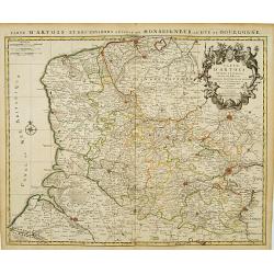
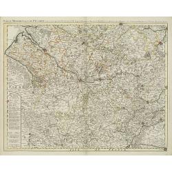
Carte D'Artois ET Des Environs..
Topographically detailed regional map of the Artois region in northern France. The map extends from Dunkirk and Abeville in the West to Doui, Cambrai and Lille in the Eas...
Place & Date: Amsterdam c. 1745
Selling price: $65
Sold
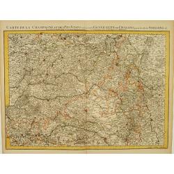
Carte De La Champagne et des Pays Voisins.. Chalons.. Soissons &c.
Very detailed, topographical map of Champagne and surrounding regions of Chalons and Soissons, Reims, Vedun, Mouzon, Sean, Charlemont, etc. Showing fortified cities, road...
Place & Date: Amsterdam c. 1745
Selling price: $135
Sold
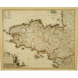
Duché et gouvernement General de Bretagne Divisé..
Highly detailed map of Brittany, in north-western France. Beautifully engraved with a decorative title cartouche depicting Poseidon and Hermes, a compass rose and table o...
Place & Date: Amsterdam c. 1745
Selling price: $265
Sold
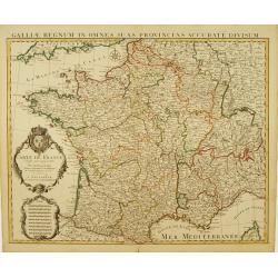
Carte De France Dressée pour l'usage du Roy..
Beautifully engraved, detailed general map of France, illustrating towns, roads, rivers, forests, etc. Embellished by 2 decorative cartouches: a title cartouche surmounte...
Place & Date: Amsterdam c. 1745
Selling price: $220
Sold
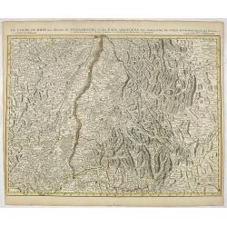
Le Cours du Rhin au dessus de Strasbourg et les Païs Adjacens.
Large, detailed map illustrating part of the flow of the river Rhine. It particularly depicts the stretch of river marking the natural border between Switzerland, France ...
Place & Date: Amsterdam c. 1745
Selling price: $50
Sold in 2016
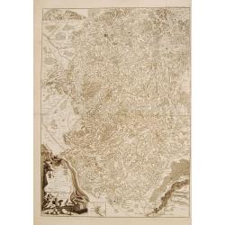
Carte du Bourdelois du Perigord.. [and] Carte Du Bearn de La Bigorre de L'Armagnac.. (2 sheets)
Large, detailed map of South-western France, encompassing the Aquitaine région (first sheet) and extending to the Spanish Border and Toulouse (second sheet).The map is f...
Place & Date: Amsterdam c. 1745
Selling price: $335
Sold
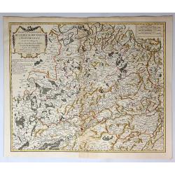
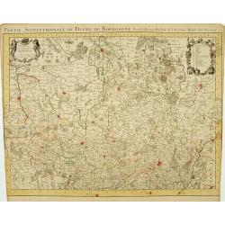
Partie Septentrionale du Duche de Bourgogne..
Large, detailed map of northern Burgundy, covering the region from Bar-sur-Seine in the North to Dijon and Auxonne in the South East. Shows illustrated topography with ma...
Place & Date: Amsterdam c. 1745
Selling price: $165
Sold
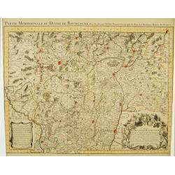
Partie Meridionale du Duche de Bourgogne..
Large, detailed map of northern Burgundy, covering the region from Autun and Dole in the North to Charolles and Mâcon in the South. Shows illustrated topography with man...
Place & Date: Amsterdam c. 1745
Selling price: $165
Sold
Vue du Château de Marli. Prise du bas du grand parterre. . .
A magnificent view of a stunning Château de Marli by the celebrated landscape engraver Jacques Rigaud (1681-1754). At the Château of Marly, Louis XIV of France escaped ...
Place & Date: Paris, c. 1745
Selling price: $300
Sold in 2009
Partie Septentrionale du Duche de Bourgogne . . .
Large, detailed map of northern Burgundy, covering the region from Bar-sur-Seine in the North to Dijon and Auxonne in the South East. Shows many villages, towns, roads an...
Place & Date: Amsterdam, ca. 1745
Selling price: $180
Sold
Partie meridionale de Picardie dressee sur les operations geometriques de Mrs. Lesperson & de Rousseville et sur plusieurs autres memoires Par Guillaume Del'isle . . .
Engraved map of the Picardie region in northern France. Urban areas in color. Relief is shown pictorially. Shows forests, Roman roads, churches, abbeys by religious order...
Place & Date: Amsterdam, 1745
Selling price: $135
Sold in 2009
Gouvernement Général de L'Isle de France . . .
A fine engraved map centered on Paris metropolitan area and its vicinities in the Isle de France region. Decorative title and scale cartouches.The map is from a Dutch edi...
Place & Date: Paris, ca. 1745
Selling price: $400
Sold in 2012
Carte De France Dressée pour l'usage du Roy. . .
Beautifully engraved, detailed general map of France, illustrating towns, roads, rivers, forests, etc. Embellished by two decorative cartouches: a title cartouche surmoun...
Place & Date: Amsterdam, c. 1745
Selling price: $550
Sold
Gallia Postarum geografice designata.
Homann Heirs (of Johann Baptist and Johann Christof) published: Grosser Atlas, 1731, 1737. Geogr. Maior, 1759, Atlas Homannianus, 1762.Alexis Jaillot's map showing the po...
Place & Date: Nurnberg, 1745
Selling price: $90
Sold in 2019
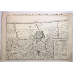
Plan de la Ville et de la Citadelle de Dunkerque.
A striking large example of Covens & Mortier's plan of Dunkerque. The map focuses on the town fortifications and also includes details of the town plan, upper and low...
Place & Date: Amsterdam, 1745
Selling price: $9
Sold in 2023
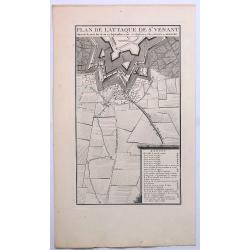
Plan de L'Attaque de St. Venant.
A striking example of Covens & Mortier's plan of St. Venant. The map focuses on the town fortifications and includes details of the town plan and environs. The primar...
Place & Date: Amsterdam, ca. 1745
Selling price: $16
Sold in 2019
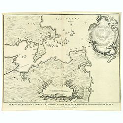
Plan of Attack of Camaret Bay, on the Coast of Bretagne. . .
An interesting and attractive map of Camaret bay in Brittany. The piece depicts a battle scene between British and French naval forces in the vicinity of Brest.It feature...
Place & Date: London, ca 1745
Selling price: $35
Sold in 2020
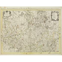
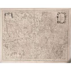
Partie Septentrionale du Duche de Bourgogne ...
Large, detailed map of northern Burgundy, covering the region from Bar-sur-Seine in the North to Dijon and Auxonne in the South East. Embellished with 2 cartouches both d...
Place & Date: Amsterdam, 1745
Selling price: $165
Sold in 2022
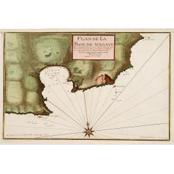
Plan de la Baye de Nagaye.
Prepared by Jacques Ayrouard and engraved by Louis Corne. Decorated with a large compass rose. From the rare chart book by Jacques Ayrouard: Recueil de plusieurs Ports .....
Place & Date: Marseille, 1732 - 1746
Selling price: $230
Sold
[Untitled Front views of the coastal relief of Provence]
Copper engraving presenting separate front views of the coastal relief of Provence divided in stripes.It covers the area which extends from Cap Sicié as far as Monaco, i...
Place & Date: Marseille, 1732 - 1746
Selling price: $140
Sold
[Untitled] Front views of the Riviera.
Copper engraving presenting separate front views of the Italian Riviera.It covers the whole Gulf of Genoa and Monaco.From the rare chart book by Jacques Ayrouard: Recueil...
Place & Date: Marseille, 1732 - 1746
Selling price: $85
Sold
[Untitled] Front views of the coastal relief of Corsica and Tuscany.
Copper engraving presenting separate front views of the coastal relief of northern Corsica and the facing Tuscan shores, divided in stripes.From the rare chart book by Ja...
Place & Date: Marseille, 1732 - 1746
Selling price: $55
Sold
[Untitled] Front views of the coastal relief of the French Riviera.
Separate front views depicting the coastal relief of French Riviera, divided in stripes.It covers the littoral zone between Monaco as far as the Iles Hyères.From the rar...
Place & Date: Marseille, 1732 - 1746
Selling price: $55
Sold
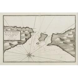
Plan du Passage Entre L isle Azinara et le Cap Azinara de Sardaigne.
Copper engraving depicting the northwestern tip of Sardinia and the southern tip of the Asinara Island.Oriented with West on top. Decorated with a large compass rose.From...
Place & Date: Marseille, 1732 - 1746
Selling price: $135
Sold
[Untitled] Front views of the Italian coastal relief.
Copper engraving presenting separate front views of the Tyrrhenian as well as Ionian coastal relief of Italy, divided in stripes.From the rare chart book by Jacques Ayrou...
Place & Date: Marseille 1732 - 1746
Selling price: $30
Sold
Totius Galliae sive Franciae tabula..
Johann Baptist Homann's well-engraved map of France has a large decorative cartouche and 12 coats of arms of different provinces. Detailed map centred on Venice. Johann B...
Place & Date: Nuremberg, 1747
Selling price: $540
Sold
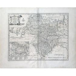
A New and Accurate Map of Savoy, Piemont, and Montferrat Exhibiting the Present Seat of War. . .
An attractive map of the Savoy and Montferrat regions of southeastern France and the northern Italian region of Piedmont on the Mediterranean Sea coast by Emmanuel Bowen...
Place & Date: London, 1747
Selling price: $50
Sold in 2010
Nouveau Plan de la Bataille Donnee Pres de Hochstet ....
The Battle of Blenheim (referred to in some countries as the Second Battle of Höchstädt), fought on 13 August 1704, was a major battle of the War of the Spanish Success...
Place & Date: Amsterdam, 1747
Selling price: $22
Sold in 2019
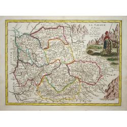
La savoye.
Nice map of the Savoie at the top the lake of Geneva and the Alps.
Place & Date: Paris 1748
Selling price: $80
Sold
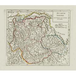
Duché de Savoye.
Detailed small map centered on Savoy, extending eastwards to include the Italian region Valle d'Aosta.From Atlas Portatif Universel, by Robert de Vaugondy. Page 53 outsid...
Place & Date: Paris, later than 1748
Selling price: $60
Sold in 2019
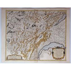
Partie Meridionale du Comte de Bourgogne ou Franche-Comte...
A striking map of the Burgundy (Bourgogne) and southern Franche-Comte region of eastern France by Robert de Vaugondy, published in 1749.It covers part of the southern Fra...
Place & Date: Paris, 1749
Selling price: $21
Sold in 2018
Partie Septentrionale du Comte de Bourgogne ou Franche Comte...
A striking, detailed map of the Burgundy and northern Franche-Comte region of eastern France by Robert de Vaugondy. It covers the modern day departments of Doubs, Haute-S...
Place & Date: Paris, 1749
Selling price: $15
Sold in 2018
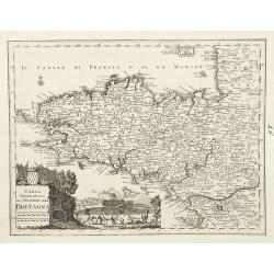
Carta geografica del governo della Bretagna. . .
From Volume II of Albrizzi's "Atlante Novissimo" after Guillaume de L'Isle. Showing Brittany divided into its Bishoprics and with all towns and cities marked, w...
Place & Date: Venise, 1750
Selling price: $180
Sold
Comitatus Burgundiae tam in primarias ejus ..
A good map of Burgundy orientated with north at the top. Decorative title cartouche with three figures, scale cartouche, coat of arms and putti holding grapes.Lower part ...
Place & Date: Augsburg 1750
Selling price: $160
Sold
Vue particulierie de Paris. Prise du Pont Royal regardant vers le Pont Neuf. Ou l''on voit les Galeries du Louvre et une partie des Thuilleries cs.
A beautiful optical view of Pont Neuf with the Louvre in Paris.
Place & Date: Paris, c. 1750
Selling price: $180
Sold in 2008
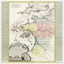
Brittische Übermacht Zur See wieder Franckreich..
Fascinating and finely engraved map engraved by M.A.Lotter and sold by his father, T.Lotter.It describes naval skirmishes between the British and French during the Seven ...
Place & Date: Paris 1750
Selling price: $450
Sold in 2010
Vue de l'Interieur de l Église Cathedrale de notre Dame de Paris.
An optical view of the interior of the Notre Dame in Paris.
Place & Date: Paris, c. 1750
Selling price: $100
Sold



![Carte du Bourdelois du Perigord.. [and] Carte Du Bearn de La Bigorre de L'Armagnac.. (2 sheets)](/uploads/cache/21538-250x250.jpg)

![[Untitled Front views of the coastal relief of Provence]](/uploads/cache/23302-250x250.jpg)
![[Untitled] Front views of the Riviera.](/uploads/cache/24832-250x250.jpg)
![[Untitled] Front views of the coastal relief of Corsica and Tuscany.](/uploads/cache/24834-250x250.jpg)
![[Untitled] Front views of the coastal relief of the French Riviera.](/uploads/cache/24840-250x250.jpg)
![[Untitled] Front views of the Italian coastal relief.](/uploads/cache/24848-250x250.jpg)
