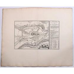
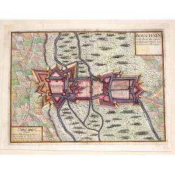
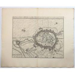
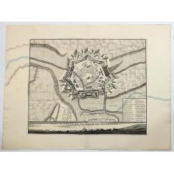
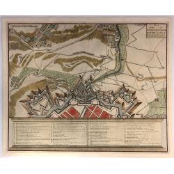
Bouchain: Ville Forte du Comte de Hainaut Situee Sur la Riviere d'Escaut.
Fine little plan of the fortification of Bouchain by Pieter Devel and published by Eugene Henry Fricx. The Siege of Bouchain (August – September 1711), was a siege of ...
Place & Date: Brussels, 1711
Selling price: $35
Sold in 2013
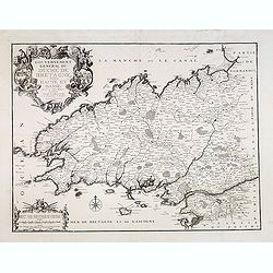
Gouvernement général du Duché de Bretagne, Divisée en Haute et Basse.
First state. Separation in Upper and Lower Brittany as shown on the 1705 plate is now corrected.
Place & Date: Paris, 1711
Selling price: $150
Sold in 2015
Carte généalogique de la maison de Plantagenette et des ducs Normandie avec les branches, et les alliances quelles, ont formées; pour conduire a l'intelligence de l'histoire d'Angleterre et d'Ecosse et d'Irlande.
A very attractive, hand colored genealogical chart of mediaeval English royal families, including thirteen coats of arms of Edward the Confessor, Edward III, the Plantage...
Place & Date: Paris, 1711
Selling price: $230
Sold in 2015
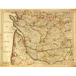
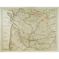
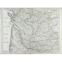
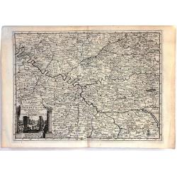
Carte du Bourdelois du Perigord et des Provinces voisines.
Guillaume de l' Isle (1675-1724), Royal Geographer, was the most influential cartographer of the first quarter of the 18th century. 'Atlas de Géographie' (1700-12), post...
Place & Date: Paris, 1712
Selling price: $175
Sold
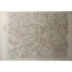
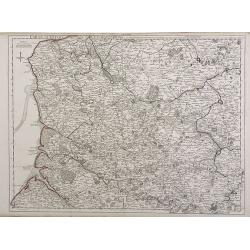
Partie Meridionale de Picardie
Finely detailed map of the Picardy region of northwestern France., including the regional capital of Amiens in the center of the map. A map key is in the bottom left corn...
Place & Date: Paris, 1712
Selling price: $9
Sold in 2010
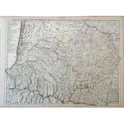
Carte du Bearn de la Bigorre de L'Armagna et des Pays Voisins.
Map of the Pyrenees Mountains regions of France and Spain. Depicts the regions of Aquitaine and Midi-Pyrenees in France and Navarra in Spain. Also, shows abbeys by religi...
Place & Date: Paris, 1712
Selling price: $89
Sold in 2010
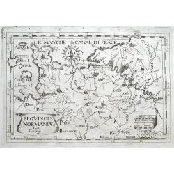
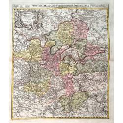
Provincia Normaniae.
Scarce map of Normandy, extending from the Channel Islands to Paris. Published in Montecalerio's "Chorographica descriptio Provinciarum et Conventuum Fratrum minorum...
Place & Date: Rome, 1643-1712
Selling price: $23
Sold in 2016
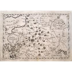
Prova Parisiensis...
Scarce map centred on Paris and extending from Calais to Auxerre, and east until Metz. Published in Montecalerio's "Chorographica descriptio Provinciarum et Conventu...
Place & Date: Rome, 1643-1712
Selling price: $20
Sold in 2016
Plan et Profil de la Ville de Maubeuge.
A detailed plan of the town and profile of Maubeuge. Maubeuge is a commune in the Nord department in northern France. It is situated on both banks of the Sambre River, e...
Place & Date: Amsterdam, 1712
Selling price: $25
Sold in 2019
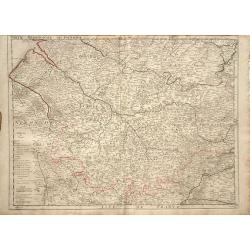
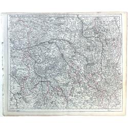
Partie Meridionale de Champagne.
A very detailed map of the Champagne region in France by Guillaume De L'Isle. Major cities such as Provins and Chatillon are included as well as major rivers, lakes and f...
Place & Date: Paris, 1713
Selling price: $7
Sold in 2010
Parte Meridionale de Champagne.
Map of northeastern France centered on the southern Champagne region. The map includes other surrounding regions including Brie, Burgundy, Lorraine and Berry, and numerou...
Place & Date: Paris, 1713
Selling price: $38
Sold in 2010
Carte du Bourdelois du Perigord et des provinces voisines..
Map covering the area from La Rochelle till the surrounding country of Bordeaux to the south and till Limoges and Cahors to the east.
Place & Date: Paris 1714
Selling price: $120
Sold
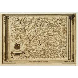
Carte du Bourdelois du Perigord et des Provinces voisines. . .
Finely detailed map of the Bordeaux region of France by Guillaume de L'Isle. Shows the French coast at the Bay of Biscay, the Garonne River and the port city of Bordeaux....
Place & Date: Paris, 1714
Selling price: $50
Sold in 2010
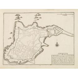
St. Malo
Fortification town-plan of St. Malo in Brittany. Wind rose and explanatory panel in lower right corner.Nicolas de Fer [1646-1720] was one of the most prolific and influen...
Place & Date: Paris, 1715
Selling price: $120
Sold
Carte d'Artois et des Environs ou lon voit le Ressort du Conseil Provincial d'Artois.
Finely detailed map of the Artois region of northern France bordering Belgium, showing the cities of Douai, Arras and Lille. Once a state of the Holy Roman Empire, Artois...
Place & Date: Paris, 1716
Selling price: $15
Sold in 2010
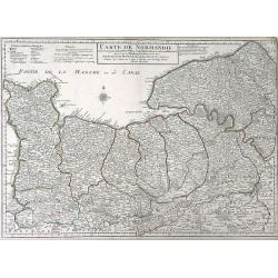
Carte de Normandie ousont marquez exacteme Les Pays ou Contrees enferm ees dascette Province aussi bien que les Villes Bourgs Paroissese.
Finely detailed map of the Normandy region of France by Guillaume de L'Isle. Shows the coastline along the English channel, along with the towns and villages, forests, ab...
Place & Date: Paris, 1716
Selling price: $50
Sold in 2010
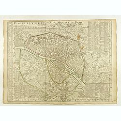
Plan de la Ville et Fauxbourgs de Paris.
A detailed plan of the city and surrounding suburbs of Paris, published "A Paris chez l’Auteur sur le Quai de l’Or.loge avec Pr.r Juin 1716" .The plan has i...
Place & Date: Paris, 1716
Selling price: $140
Sold in 2022
Agri Parisiensis. . .
A detailed map of Île-de-France centered on Paris. Paris is still quite small - Montmartre, Les Invalides, and others are shown as small separate villages. Extends until...
Place & Date: Nuremberg, ca 1716
Selling price: $66
Sold in 2019
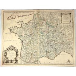
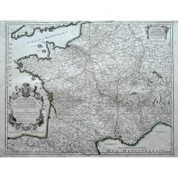
Le Royaume de France Dresse les Memoires et Nouvelles Observations de Messieurs de l'Academie Royalle de Sciences
Very large, copper engraved map of France. It was published by the Jaillot family in Paris in 1717. The map features a large title cartouche with a coat of arms surround...
Place & Date: Paris , 1717
Selling price: $41
Sold in 2018
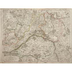
Carte de la Beauce du Gatinois de la Sologne et Pays voifins compris dans la Generalite d\'Orleans.
Detailed map of region of central France south of Paris. The Loire River is depicted with the city of Orleans in the center of the map. The Loire was once an important na...
Place & Date: Paris, 1718
Selling price: $9
Sold in 2010
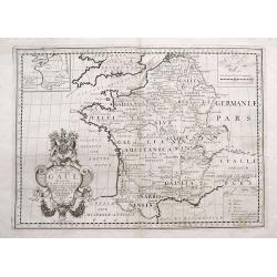
A New Map of Ancient Gaul or Gallia Transalpina...
Decorative map of France, as divided by Augustus Ceasar during Roman times. With the large title cartouche bearing the Royal Coat of Arms.
Place & Date: London, 1718
Selling price: $21
Sold in 2016
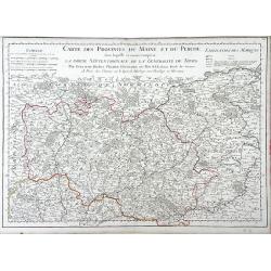
Carte des Provinces du Maine et du Perche dans Laquelle se trouve comprise La Partie Septentrionale De La Generalite De Tours
Finely detailed map of the province of Maine in northwestern France by Guillaume de L'Isle. Cities, villages, rivers, forests and mountains of the regions are depicted. T...
Place & Date: Paris, 1719
Selling price: $85
Sold in 2010
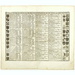
La France divisée en ses douze anciens gouvernements, et en ses vingt quarte nouveaux.
Fine example of Chatelain's attractive plate showing the division of the different governments, decorated with coats-of-arms. Zacharie Chatelain (d.1723) was the father o...
Place & Date: Amsterdam, 1719
Selling price: $50
Sold in 2018
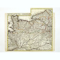
Le Gouvernement de Normandie...
Very detailed map of Normandy. In the south the river Loire, and in utmost left part of Jersey.
Place & Date: Amsterdam, ca. 1720
Selling price: $160
Sold
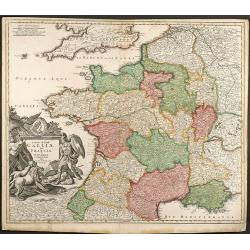
Totius Regni Galliae Sive Franciae et Navarrae novi¯ima Tabula edita Ó Io. Bapt. Homann Norimbergae
Copper engraved map of France by J. B. Homann. Covering complete France and southern part of the British Isles with many detail and one beautiful dramatic cartouche.
Place & Date: Nuremberg, 1720
Selling price: $250
Sold in 2009
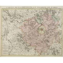
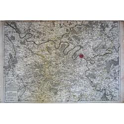
Carte de la prevosté et vicomté de Paris.
Paris and the surrounding territory including major roads.Guillaume de l'Isle (1675-1726) was the son of a cartographer and pupil of Jean Dominique Cassini, who, among ot...
Place & Date: Amsterdam, 1720
Selling price: $480
Sold
Carte Particuliere d'Anjou et de Touraine, ou de la Partie Meridionale de la Generalite de Tours.
Map of the Anjou region of western France along the Loire River. Include are the cities Tours, Blois and Ancenis (from right to left) along the Loire.left margin: 3/4&quo...
Place & Date: Paris, 1720
Selling price: $26
Sold in 2010
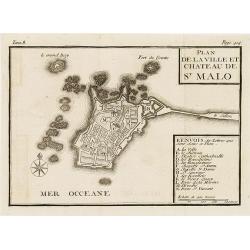
Plan de la ville et château de St Malo
Town-plan of St. Malo with the castle. With a lettered key A-N in lower right corner. In top, Tome 8, Page 414.
Place & Date: France, c. 1720
Selling price: $55
Sold in 2010
La Provence divisée en ses vigueries et terres adjacentes. . .
Detailed map of southern France. Showing the cities of Marseille, St.Tropez, Cannes, Nice, Antibes, Aix, Orange, Barcelonette, Senez., and Monaco, etc.Prepared by one of ...
Place & Date: Amsterdam, ca 1720
Selling price: $300
Sold in 2010
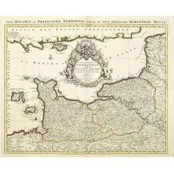
Le Duché et Gouvernement de Normandie divisée en Haute et Basse Normandie.
An attractive large-scale map depicting Normandy. Embellished with a large title-cartouche. Prepared by one of the greatest French mapmakers Hubert Jaillot, and republish...
Place & Date: Amsterdam, ca. 1720
Selling price: $200
Sold in 2010
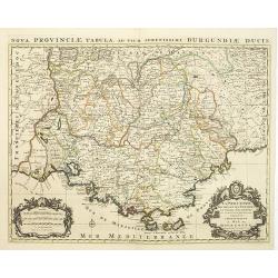
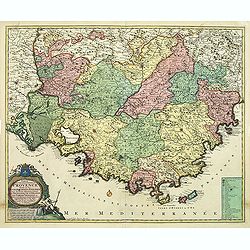
Comte de gouvernement général de Provence divisé en ses sénéchaussees et vigurie. . .
Map of Provence prepared by Frederik de Wit. The copper plate was acquired by Pierre Mortier. The Amsterdam publishing firm of Covens and Mortier (1721 - c. 1862) was the...
Place & Date: Amsterdam, 1720
Selling price: $650
Sold in 2014
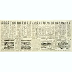
Carte généalogique des branches naturelles ou du coté gauche de la maison des Bourbons. . .
Interesting sheet with an impressive engraving ornamented with numerous vignettes representing French castles of Meudon, Versailles, St. Germain en Laye and Fontaine Blea...
Place & Date: Amsterdam, ca. 1720
Selling price: $145
Sold in 2012
Nouvelle carte généalogique des branches du coté gauche de la maison de valois . . .
This impressive engraving is a wonderful example of Chatelain’s elegant plates from his "Atlas Historique, Ou Nouvelle Introduction A L’Histoire …", Tom 7...
Place & Date: Amsterdam, ca. 1720
Selling price: $45
Sold in 2012
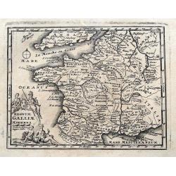
GALLIA VETUS EX IULII CAESARIS...
Interesting map of ancient France. Includes Switzerland and Benelux. With a decorative title cartouche and contemporary hand coloring.
Place & Date: Nuremberg, c1720
Selling price: $65
Sold in 2013
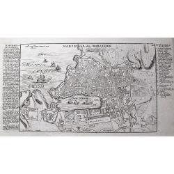
Marseille oder Marsilien.
Very detailed German plan of Marseille and environs, with the harbor and fortifications. With extensive information to the left, and a 26 letter key locating important bu...
Place & Date: Augsburg, c1720
Selling price: $85
Sold in 2013
Carte généalogique des branches naturelles du coté gauche de la maison de Bourbon accompagnée des armes et alliances
Interesting sheet with an impressive engraving ornamented with numerous vignettes representing French castles of Meudon, Versailles, St. Germain en Laye and Fontaine Blea...
Place & Date: Amsterdam, 1720
Selling price: $50
Sold in 2014
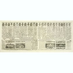
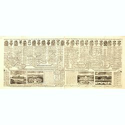
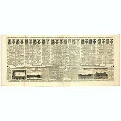
Nouvelle carte généalogique des branches du coté gauche de la maison Valois.
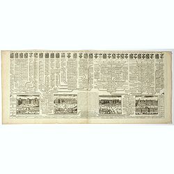
Interesting sheet with a map of the family tree of the house of Valois. In lower part views of les Invallides, Trianon, Versailles, St.Cloud and descriptive French text, ...
Place & Date: Amsterdam, 1720
Selling price: $28
Sold in 2022
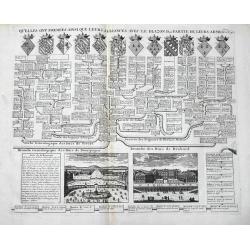
Versailles / St. Cloud
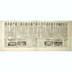
An interesting double page, showing the genealogy of Ducs de Nevers, Ducs de Bourgogne, Ducs de Brabant etc. It features 12 lovely coat of arms, and views of Versailles a...
Place & Date: Amsterdam, 1720
Selling price: $37
Sold in 2016
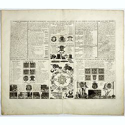
Carte generale du gouvernement militaire de France . . .
Engraved text sheet with numerous illustrations giving military statements of naval and terrestrial forces in France, particularly the state of the artillery and the nava...
Place & Date: Amsterdam, 1720
Selling price: $70
Sold in 2019
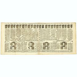
Nouvelle carte généalogique des branches du coté gauche de la maison des Valois ...
The family tree of the house of Valois issued from the 'third race' (Capetian dynasty), including the other houses issued from it or associated to it through marriage (su...
Place & Date: Amsterdam, ca. 1720
Selling price: $15
Sold in 2022
Nouvelle carte généalogique des familles Roiales de France . . .
Family tree of the French royal families issued from the 'first race' (Pharamond & the Merovingian Kings) and the 'second race' (the Carolingian Kings), until the adv...
Place & Date: Amsterdam, ca. 1720
Selling price: $15
Sold in 2022
Carte généalogique des branches naturelles ou du coté gauche de la Maison Bourbon . . .
Interesting sheet with an impressive engraving ornamented with numerous vignettes representing French castles of Meudon, Versailles, St. Germain en Laye and Fontaine Blea...
Place & Date: Amsterdam, ca. 1720
Selling price: $55
Sold in 2018
Plan de la Ville de Douay et du Fort D'Escarpe.
Striking engraved plan showing the city of Douay, drawn by Eugène Henry Fricx, a Brussels printer specialized in battles and sieges. Nice copy with large margins. The ma...
Place & Date: Amsterdam, ca. 1720
Selling price: $17
Sold in 2019
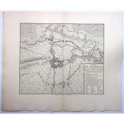
Plan de St. Venant.
A very fine city plan of St. Venant, published by Covens & Mortier. It has a detailed legend on the right bottom corner.Saint-Venant is a commune in the Pas-de-Calais...
Place & Date: Amsterdam, 1720
Selling price: $19
Sold in 2019
Totius Regni Galliae Sive Franciae Tabula...
An attractive map of France, showing fortified cities, towns, roads, rivers, mountains, etc. Stupendous decorative cartouche (one of the finest that I have seen) with old...
Place & Date: Neurenberg, 1720
Selling price: $220
Sold in 2018
Gallia Cum Provinciis Infertis et Adsitis. . .
A copper engraved detailed map of Ancient France, divided into its provinces by Christopher Weigel in Nurnberg in 1719. Features a decorative cartouche with lions, soldie...
Place & Date: Nurnberg, 1720
Selling price: $30
Sold in 2019
Carte genealogique de la Maison de Bourbon . . .
Genealogical chart of the Bourbons, from Chatelain's monumental 7 volume "Atlas Historique". Henri Abraham Chatelain (1684 – 1743) was a Huguenot pastor of Pa...
Place & Date: Amsterdam, 1720
Selling price: $25
Sold in 2018
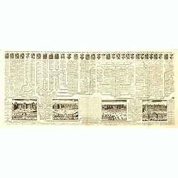
Carte genealogique de la maison des Valois. . .
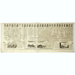
Ornamented with numerous vignettes representing Place Royal, Palais des Tuilleries and Palais du Luxembourg in Paris.Exhaustive information about the settlements is given...
Place & Date: Amsterdam, ca. 1720
Selling price: $12
Sold in 2022
Carte genealogique de la Maison de Savoye . . .
Fine example of Chatelain's attractive plate showing the genealogy of the Savoy House in France.Zacharie Chatelain (d.1723) was the father of Henri Abraham (1684-1743) an...
Place & Date: Amsterdam, ca. 1720
Selling price: $30
Sold in 2018
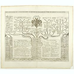
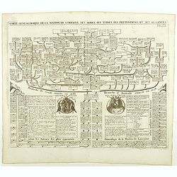
Carte genealogique de la Maison de Lorraine . . .
Fine example of Chatelain's attractive plate showing the genealogy of the Lorraine House in France.Zacharie Chatelain (d.1723) was the father of Henri Abraham (1684-1743)...
Place & Date: Amsterdam, ca. 1720
Selling price: $50
Sold in 2018
Carte genealogique des des rois de France depuis Hugue Capet jusqu'à la famillede Valois . . .
Genealogical chart of kings of France, from Chatelain's monumental 7 volume "Atlas Historique". Henri Abraham Chatelain (1684 – 1743) was a Huguenot pastor of...
Place & Date: Amsterdam, 1720
Selling price: $40
Sold in 2018
Carte genealogique de la maison de Courtenay avec les differentes branches quelle a formees accompagnee du Blazon des armes de la plus part des alliances des seigneurs de cette famille.
Genealogical chart, from Chatelain's monumental 7 volume "Atlas Historique". Henri Abraham Chatelain (1684 – 1743) was a Huguenot pastor of Parisian origins. ...
Place & Date: Amsterdam, 1720
Selling price: $25
Sold in 2020
La France divisée par provinces ou sont exactement remarquées toutes les routes des postes du royaume suivant qu'elles sont actuellement établies.
A large and unusual map of France showing the postal routes and post stations includes Switzerland, Luxembourg, parts of Spain, Italy, and Germany.Decorated with a large ...
Place & Date: Paris, 1721
Selling price: $41
Sold in 2016
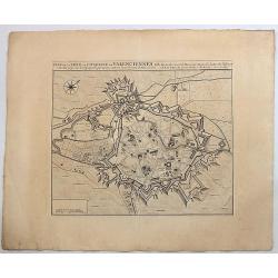
Plan de la Ville et Citadelle de Valenciennes.
Beautiful engraved plan showing the city and the citadel of Valenciennes, drawn in 1709 by Eugène Henry Fricx, a Brussels printer specialized in battles and sieges. Nice...
Place & Date: Amsterdam, 1723
Selling price: $24
Sold in 2019
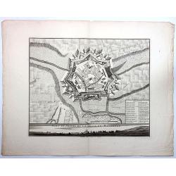
Plan et Profil de la Ville de Maubeuge.
Beautiful engraved plan showing the city of Maubeuge, drawn by Eugène Henry Fricx, a Brussels printer specialized in battles and sieges. Nice copy with large margins. Th...
Place & Date: Amsterdam, 1723
Selling price: $40
Sold in 2017
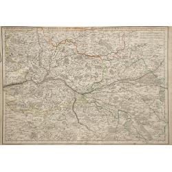
Carte de la Prevoste et Vicompe de Paris . . .
Carte de la Prevoste et Vicompe de Paris
Place & Date: Paris, c. 1724
Selling price: $11
Sold in 2010
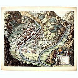
Moustiers.
A beautifully engraved and richly decorated plan of Moustiers. A key (A-Q) in the lower part refers to the principal places of interest in the town.Joan Blaeu published d...
Place & Date: Amsterdam, 1724
Selling price: $150
Sold in 2016
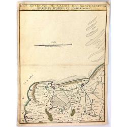
Les Environs de Calais, Gravelines, Bourbourg, d'Ardes, et d'Embleteuse & c.
A map showing the border between France and the Netherlands near Calais, Gravelines, Bourbourg, Ardes, and Embleteuse, by Nicolas de Fer, published in Paris in 1724. It w...
Place & Date: Paris, 1724
Selling price: $10
Sold in 2018
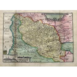
Le comte d'Artois. . .
A detailed map of Artois with an inset view of Arras. Decorated with old hand color, a title cartouche, small coat of arms, compass rose, and distance scale.
Place & Date: Paris, ca 1725
Selling price: $17
Sold in 2019
La France, suivant les nouvelles observations..
Uncommon edition of this map of France. With decorative title cartouche lower left corner.This example is unusual in having the additional separately engraved decorative ...
Place & Date: Amsterdam 1728
Selling price: $140
Sold
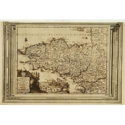
Carte du gouvernement de Bretagne, suivant les nouvelles observations..
Uncommon edition of this map of a province of France. With decorative title cartouche lower left corner.This example is unusual in having the additional separately engrav...
Place & Date: Amsterdam 1728
Selling price: $240
Sold
Carte de Loraine, suivant les nouvelles observations..
With decorative title cartouche lower left corner.This example is unusual in having the additional separately engraved decorative framework border around the map, the res...
Place & Date: Amsterdam 1728
Selling price: $85
Sold
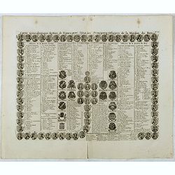
Carte genealogique des Rois de France avec l'Etat des Principaux Officiers de la Maison du roy.
A genealogical tree of the French kings with descriptive French text, from Chatelain's monumental 7 volume "Atlas Historique". Henri Abraham Chatelain (1684 –...
Place & Date: Amsterdam, 1728
Selling price: $20
Sold in 2016
Carte genealogique pour conduire à faire connoître sur quoi sont fondés les pre tendants à la succession de la principauté de Neufchatel.
Genealogical tree with two maps "Principauté de Neuchatel" and "Baronie de Arley de la Maison de Chalons", with descriptive French text, from Chatela...
Place & Date: Amsterdam, 1728
Selling price: $20
Sold in 2020
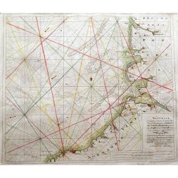
Nouvelle Cartemarine croissante...Normandie, Vimeux, et Ponthieu, entirant depuis Etaples...
A detailed copper-engraved sea chart of a part of Normandy, from Dieppe until Etaples.Locates a number of towns along the coast, including Montreuil, Berck, Rue, Saint-Va...
Place & Date: Amsterdam, 1728
Selling price: $45
Sold in 2016
Regnum Galliae Moderna
Charming copper engraved map of France from a rare atlas by Zurner and Weigel. With many place names. Decorated with a title cartouche surrounded by figures.
Place & Date: Nuremberg, 1729
Selling price: $16
Sold in 2015
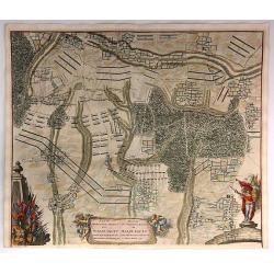
Plan der Glorieuse Veldislag van Malplaquet
A plan of the Battle of Malplaquet gained by the Allies Sep.11th 1709 , by the Duke of Marlborough. It was the last great battle in the War of the Spanish Succession (170...
Place & Date: Paris, 1729
Selling price: $52
Sold in 2020
Plan Van de Attaque Van Ryssel & Plan de l'Attaque de Lille
Plans of the attacks on Ryssel/Lille on October 22nd, 1708 by the Duke of Marlborough. It was one of the last great battles in the War of the Spanish Succession (1701–1...
Place & Date: Paris, 1729
Selling price: $17
Sold in 2023
Carte du Gouvernement de L'Isle de France...
A fine map of the Isle de France (Paris) region of France by Peter Van Der Aa in Paris. From the book: “La Geographie Moderne, Naturelle, Historique & Politique” ...
Place & Date: Leiden, 1729
Selling price: $6
Sold in 2016
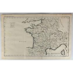
Carte du Royaume de France.
A striking map of France, from the “METHODE POUR ETUDIER L’HISTOIRE” by L’Abbe Lenglet du Fresnoy, published in Paris in 1729. The map is quite rare and is not no...
Place & Date: Paris, 1729
Selling price: $21
Sold in 2019
Troisieme plan de la ville de Paris, son étendiie et les bourgs dont elle êtoit environnée sous le regne de Loüis le Jeune, VIIe du nom [...] par M.L.C.D.L.M.
Engraved plan of Paris, oriented to the North with a compass rose (upper part) and equipped with a double scale (400 geometrical steps and 1000 not common) with a brief c...
Place & Date: Paris, 1729
Selling price: $110
Sold
" LE ROYAUME DE France Divisé en Toutes ses Provinces et ses acquisitions."
An Amsterdam version of the general map of France by Hubert Jaillot. The scale cartouche upper left has the name of the publisher : P.Mortier et Compagnie.
Place & Date: Amsterdam, ca. 1730
Selling price: $300
Sold in 2009
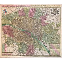
Le Plan de Paris, ses Faubourgs et ses Environs...
A spectacular city plan of Paris illustrating with deepest detail churches, palaces, streets, gardens, etc. The work embellished by a compass rose and the royal coat of a...
Place & Date: Augsburg, 1730
Selling price: $580
Sold in 2014
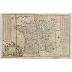
A NEW AND EXACT MAP OF FRANCE...
Decorative two-sheet map of France. Very detailed with towns, rivers, etc. Postal roads are marked with distances between points indicated in leagues. Battle sites in whi...
Place & Date: London, c1730
Selling price: $150
Sold in 2014
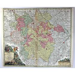
Mappa Geographica in qua Ducatus Lotharingiae et Barr
A very decorative map of the Lorraine region in France. Detail includes that of the towns, cities, and topography. It has a title cartouche showing people hunting and mak...
Place & Date: Nuremberg, 1730
Selling price: $24
Sold in 2016
Plan de la Situation du Siege du Quesnoy Investi.
A fine detailed map of the fortifications around the town Quesnoy at the time of the siege in 1712. Le Quesnoy is a commune in the Nord department in northern France.Cove...
Place & Date: Amsterdam, ca. 1730
Selling price: $20
Sold in 2019
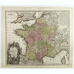
Le Royaume de France . . .
A finely engraved and decorative mid-18th century map published in Augsburg, Germany. This map shows France.Matthaus Seutter the elder first published his "Atlas Geo...
Place & Date: Augsburg, c. 1730
Selling price: $40
Sold in 2018
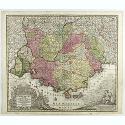
Provincia Gallis la Provence dicta..
Seutter's well-engraved map of southern France has two large decorative cartouche. Including the towns of Marseille, Toulouse, St.Tropez, Cannes, Antibes, etc.Matthaus Se...
Place & Date: Nuremberg 1730
Selling price: $65
Sold in 2017
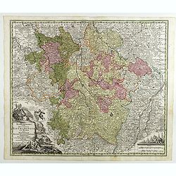
Mappa Geographica in qua Ducatus Lotharingiae...
Map of eastern France with the Alsace area, centered on Metz.Matthaus Seutter the elder first published his "Atlas Geographicus" in 1720 and added to the conten...
Place & Date: Augsburg, 1730
Selling price: $50
Sold in 2017
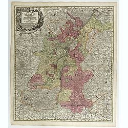
Alsatia Landgraviatus . . .
Map of eastern France centered on Strasburg and Basel in the South.Matthaus Seutter the elder first published his "Atlas Geographicus" in 1720 and added to the ...
Place & Date: Augsburg, 1730
Selling price: $50
Sold in 2017






![Troisieme plan de la ville de Paris, son étendiie et les bourgs dont elle êtoit environnée sous le regne de Loüis le Jeune, VIIe du nom [...] par M.L.C.D.L.M.](/uploads/cache/42142-250x250.jpg)

