Browse Listings in Europe > British Isles > Scotland / Wales
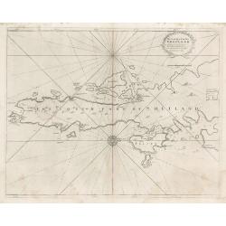
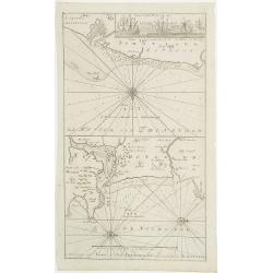
The South Part of Shetland
This decorative copperplate nautical chart was part of the work commissioned by Charles II of England when Samuel Pepys was Secretary to the Admiralty. The work was to ch...
Place & Date: London, 1723
Selling price: $75
Sold in 2023
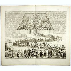
Carte pour donner une idée generale du gouvernement D'Ecosse . . .
Illustrating the activities and principal members of the Scottish Parliament. Remarkable detail, with over 30 individuals and groups named.Henri Abraham Chatelain (1684 �...
Place & Date: Amsterdam, 1728
Selling price: $50
Sold in 2019
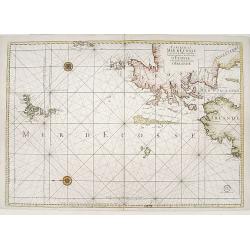
Carte de la mer d'Ecosse../d'Irlande
Sea chart depicting northern tip of Ireland and Scotland. East to top.
Place & Date: Paris 1730
Selling price: $245
Sold
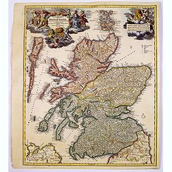
Magnae Britanniae Pars Septentrionalis qua REGNUM SCOTIAE. . .
A large, detailed and decorative map of Scotland with two superb cartouches. They are surrounded by mythical and allegorical figures, five putti, and the Royal & Scot...
Place & Date: Nuremberg, 1730
Selling price: $220
Sold in 2017
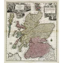
Nova et accurata Scotiae, secundum omnes Provincias.
A decorative and detailed map of Scotland. Embellished with two large cartouches. Matthaeus Seutter (1678-1757), was a cartographer of Vienna and Augsburg. 'Atlas Geogr'...
Place & Date: Augsburg, ca 1730
Selling price: $354
Sold in 2020
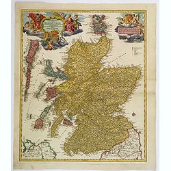
Magnae Britanniae Pars Septentrionalis qua REGNUM SCOTIAE. . .
A large, detailed and decorative map of Scotland with two superb cartouches. They are surrounded by mythical and allegorical figures, five putti, and the Royal & Scot...
Place & Date: Nuremberg, 1730
Selling price: $200
Sold in 2019
Nova et accurata totius Regni Scotiae, Secundum Omnes Provincias et adjacentes Insulas..
Fully and strongly engraved copper plate map that includes all of Scotland and the New Hebrides, here called the Western Iles of Scotland. The map is filled with minute d...
Place & Date: Augsburg 1740
Selling price: $550
Sold
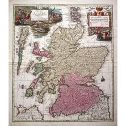
Nova et accurata totius Regni Scotiae...
From 'Atlas Novus'. A very decorative and detailed map of Scotland by Matthias Seutter who was an eminent German map-maker in Augsburg, appointed Geographer to the Imperi...
Place & Date: Augsburg, c. 1740
Selling price: $400
Sold in 2014
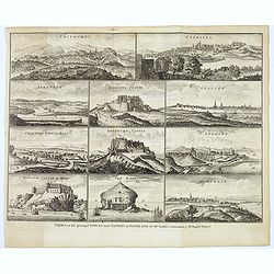
Views of the principal Towns and Castles in Scotland..
A delightful selection of 10 Scottish Towns, Castles, and of The Bass Rock. Towns include Edinburgh, Glasgow, Sterling, Aberdeen, St. Andrews, Montrose, Cannery Town in R...
Place & Date: London, ca. 1750
Selling price: $170
Sold in 2021
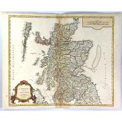
L'Ecosse Divisee en Shires ou Comtes
A decorative map of Scotland, published by Boudet in Paris in 1751. The map includes a decorative Rococo cartouche and scale of miles in the bottom left corner.The map is...
Place & Date: Paris, 1751
Selling price: $25
Sold in 2023
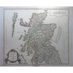
Le Royaume D'Ecosse divisee en Shires ou Comtes.
A striking and detailed map of Scotland, from Vaugondy's “Atlas Universel”. It includes towns, cities, mountains, rivers and lakes. Interestingly shaped rococo decor...
Place & Date: Paris, 1751
Selling price: $125
Sold in 2018
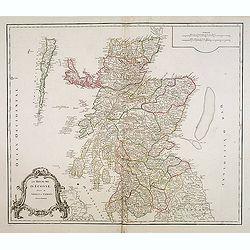
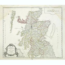
Le Royaume d'Ecosse.
Detailed map of Scotland, from a later edition of DeVaugondy's Atlas Universel. Includes towns, mountains, rivers, lakes and a host of other details. Decorative Cartouche...
Place & Date: Paris, after 1752
Selling price: $35
Sold in 2014
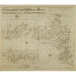
Nieuwe afteekening van de Eylanden van Fero..
Very rare: included in 6th volume, so-called secret atlas of the V.O.C. of Van Keulen. Latitude scale, compass rose and system of rhumb lines, soundings, anchorage's, etc...
Place & Date: Amsterdam 1753
Selling price: $260
Sold
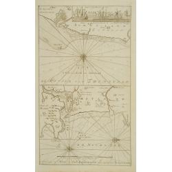
De Reede van \'t Leith van Edenburgh. / Afteekening van Nieuw en Oud Aberdeene ..
Latitude scale, compass rose and system of rhumb lines, soundings, anchorage\'s, etc. A wealth of cities and information appear in the chart. In upper right corner inset ...
Place & Date: Amsterdam 1753
Selling price: $180
Sold
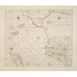
Nieuwe aftekening van Holy Eyland de Staples, coket Eyland en Barwyk .. Aan de ioostkust van Schotland..
Latitude scale, compass rose and system of rhumb lines, soundings, anchorage's, etc. A wealth of cities and information appear in the chart. Latitude scale, compass rose ...
Place & Date: Amsterdam 1753
Selling price: $375
Sold in 2008
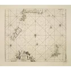
Paskaart Vande Noord Cust van Schotland als mede de Eylanden van Hitland en Fero..
South to the top. Latitude scale, compass rose and system of rhumb lines, soundings, anchorage's, etc. In lower right corner with added number 26.A wealth of cities and i...
Place & Date: Amsterdam 1753
Selling price: $250
Sold in 2008
De Reede van 't Leith van Edenburgh. / Afteekening van Nieuw en Oud Aberdeene . . .
Latitude scale, compass rose and system of rhumb lines, soundings, anchorage's, etc. A wealth of cities and information appear in the chart. In upper right corner inset v...
Place & Date: Amsterdam, 1753
Selling price: $360
Sold in 2011
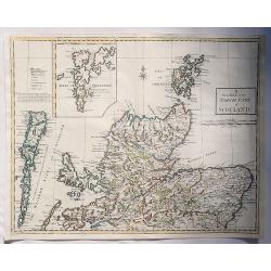
A New Map of the North Part of Scotland.
An antique map of the North Part of Scotland, drawn and engraved by Andrew Johnston, published in the third edition of William Camden's 'Britannia' in 1753. This map, and...
Place & Date: Glasgow, 1753
Selling price: $30
Sold in 2023
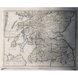
A New Map of the South Part of Scotland.
An antique map of the South Part of Scotland, drawn and engraved by Andrew Johnston, published in the third edition of William Camden's 'Britannia' in 1753. This map, and...
Place & Date: Glasgow, 1753
Selling price: $17
Sold in 2023
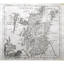
Scotland.
A small and detailed copper engraved map of Scotland. Names many towns, rivers, loughs, and even small islands like North Rona, St. Kilda, etc...Decorated with a title ca...
Place & Date: London, ca 1754
Selling price: $17
Sold in 2018
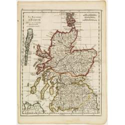
Le Royaume d'Ecosse..
Fine map of Scotland. George Louis Le Rouge was active from 1740- till 1780 as a publisher, and was appointed engineer for the King of France. From his Atlas Nouveau Port...
Place & Date: Paris 1756
Selling price: $30
Sold
Le Royaume d'Ecosse.
Detailed map of Scotland, from and early edition of DeVaugondy's Atlas Universel. Includes towns, mountains, rivers, lakes and a host of other details. Decorative Cartouc...
Place & Date: Paris, 1757
Selling price: $95
Sold in 2013
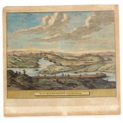
Vue de la Ville de Newaberdene du cote de Blockhause.
Striking hand colored, copper engraved view of Aberdene, Scotland. Pieter van der Aa (1659 - 1733) was a Dutch publisher, best known for preparing maps and atlases. He ...
Place & Date: Amsterdam, 1761
Selling price: $65
Sold in 2014
La Scozia Settentrionale Divisa Nelle Sue Contee Particolari
This is a top half of a two sheet map of Scotland showing northern Scotland by Antonio Zatta, engraved by Pitteri. Shows regions of Strathnavern, Ross-shire, Inverness, M...
Place & Date: Venice, 1779
Selling price: $65
Sold in 2010
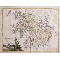
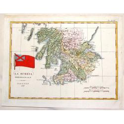
La Scozia Meridionale divisa Nelle sue Contee Particolari di Nuova Projezione.
A detailed map of regions in Scotland by Antonio Zatta. Depicts major cities such as Carrick, Galloway, and Perth, and major river systems in the area. This map also show...
Place & Date: Venice, 1779
Selling price: $155
Sold in 2010
La Scoza Meridionale Divisa Nelle Sue Contee Particolari Di Nuova Projezionev Venezia 1779 Autonio Zatta
Attractive map of Southern Scotland by Antonio Zatta engraved by Giovanni Marco Pitteri one of Italy’s greatest engravers.A copper engraving with beautiful hand colorin...
Place & Date: Venice, 1779
Selling price: $160
Sold in 2018
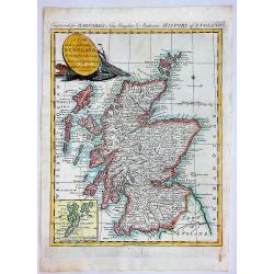
A New and Correct Map of SCOTLAND, Drawn from the Latest Surveys of that Party of Great Britain.
A fine copperplate map from “Barnard's New Complete and Authentic History of England”, published in London by Edward Barnard in 1781-1783.It features a marine cartouc...
Place & Date: London, 1781
Selling price: $58
Sold in 2019
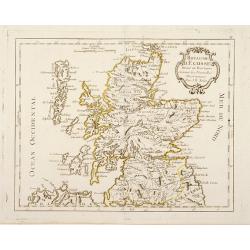
Royaume d'Ecosse Divisé en Provinces . . .
Rare map of Scotland prepared by J.B.Nolin and published by Monhare for his Atlas Général a l'usage des colleges et maisons d'education.. Louis Joseph Mondhare publishe...
Place & Date: Paris, 1783
Selling price: $90
Sold in 2016
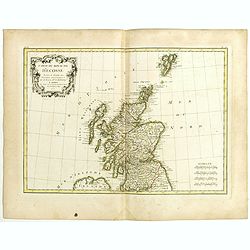
Carte Du Royame D'Ecosse..
Attractive map of Scotland, including the Shetland Islands. Decorated with a rococo title cartouche. Boundaries outlined in hand color.From theAtlas moderne ou collection...
Place & Date: Paris, ca 1783
Selling price: $60
Sold
Royaume d'Ecosse. . .
Scarce map of Scotland prepared by Nolin and published by L.J. Mondhare for his Atlas Général a l'usage des colleges et maisons d'education.. Louis Joseph Mondhare was ...
Place & Date: Paris, 1783
Selling price: $100
Sold in 2013
Carte du Royaume d'Ecosse . . .
Attractive map of Scotland, ornated with a decorative title cartouche. Boundaries outlined in hand color.Prepared by Le Sieur Janvier, Jean Denis [Robert], French geograp...
Place & Date: Paris, ca 1783
Selling price: $32
Sold in 2019
L'Ecosse avec ses Isles.
A decorative antique map of Scotland and islands, with two inlays of Craig Phadrich forested hill. It was published by Barbie and engraved by Doudan.Jean-Denis Barbié, k...
Place & Date: Paris, 1783
Selling price: $35
Sold in 2023
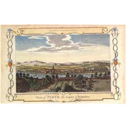
View of Perth, the Capital of Perthshire.
Pleasing hand colored view of Perth, Scotland, from an edition of "THE NEW BRITISH TRAVELLER" published in London by Alexander Hogg in 1784. The engraving was b...
Place & Date: London, 1784
Selling price: $21
Sold in 2018
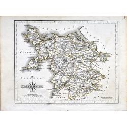
North Wales.
A small copper engraved map of north Wales issued by John Cary. Marks towns and cities and the main connecting roads.
Place & Date: London, 1787
Selling price: $15
Sold in 2019
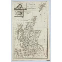
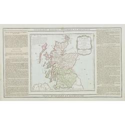
L'Ecosse..
Decorative map showing Scotland divided into northern and southern portions with all the county divisions noted. Embellished with fine title cartouche.The map is flanked ...
Place & Date: Paris, 1790
Selling price: $50
Sold
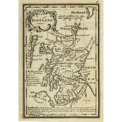
Scotland.
Uncommon miniature map from Gibson's "Atlas Minimus, or a New Set of Pocket Maps of the several Empires, Kingdoms and States of the known World".
Place & Date: London, 1792
Selling price: $50
Sold in 2011
Die Insel Jura.
A decorative map of Jura Island in western Scotland, from Von Reilly's remarkable atlas published in 1794.Austrian born Franz Johann Joseph von Reilly (1766-1820) produce...
Place & Date: Austria, 1794
Selling price: $115
Sold in 2020
L'Ecosse.
Map of Scotland, corrected by Lamarche with the mention of the year in a new cartouche : L'An III.me de la République Française
Place & Date: Paris, 1795
Selling price: $20
Sold in 2011
Present Scotland.
A fully colored map of Scotland, with the usual inset of the Shetland Islands from An Universal Atlas Consisting of a Complete Set of Maps, peculiarly adapted to illustra...
Place & Date: London, 1797
Selling price: $45
Sold in 2020
Royaume d\'Ecosse.
Nice small map of Scotland. From Atlas Portatif Universel, by Robert de Vaugondy.Page 6 outside border top right. Mary Sponberg Pedley does not mention a state without da...
Place & Date: Paris, 1748-1799
Selling price: $50
Sold in 2008
Scotland.
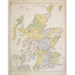
Very rare Ottoman printed map of Scotland with inset of Shetland Islands from Cedid Atlas Tercümesi or New Atlas , printed 1218 H. or 1803 in üsküdar, a part of Istanb...
Place & Date: Vienna/ Üsküdar, 1803
Selling price: $800
Sold in 2008
Edinburg.
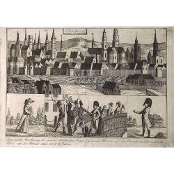
An interesting city view of Edinburg, Scotland with a group of three prints below in German that translate to "Unexpected arrest of the chemist's famous Franz Genera...
Place & Date: Unknown, 1804
Selling price: $17
Sold in 2019
Carte des iles Shetland, d'après le plan du Cap. Anglais Preston, rectifié par M. de Lowenorn en 1787, Dépôt de La Marine, l'an XIII
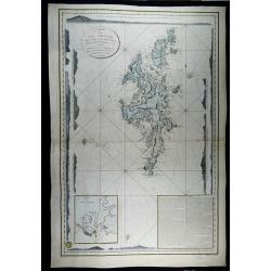
Rare and very large and detailed nautical chart of the Shetland Islands, published in 1804 (year 13 of the French Revolution) by the French Ministry of the Navy, after th...
Place & Date: Paris, 1787 / 1804
Selling price: $200
Sold in 2023
Carte du Royaume d' Ecosse . . .
Map of Scotland from Atlas moderne portatif composé de vingt-huit cartes sur toutes les parties du globe terrestre .. A l'usage des Colléges, des Pensions & des Mai...
Place & Date: Paris, Prudhomme, Levrault, Debray, 1806
Selling price: $120
Sold in 2013
Vue de la grande rue et du château à Edimbourg
Optical print of the Caste of Edinburgh. Basset was a well-known publisher of optical prints, established in rue St Jacques in Paris. In the 18th century the optical prin...
Place & Date: Paris, c.1820
Selling price: $60
Sold in 2008
Stirlingshire.
A fine map of Stirlingshire, Scotland by Thomson in 1820. From his Atlas of Scotland published in Edinburgh. It features an inset of the town of Stirling and an engravin...
Place & Date: Edinburgh, 1820
Selling price: $30
Sold in 2023
Index Map to the Atlas of Scotland.
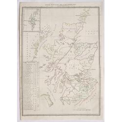
An informative index for Thomson’s “Atlas of Scotland”. Published in 1820 in Edinburgh. It outlines all of the shires in Scotland and states the square miles. It f...
Place & Date: Edinburgh, 1820
Selling price: $22
Sold in 2020
Dumbartonshire Sur'd by Wood for the Atlas of Scotland.
FA fne map of Dumbatonshire, Scotland by John Thomson in 1823. From his Atlas of Scotland published in Edinburgh. It features an inset of the Firth of Clyde and an engrav...
Place & Date: Edinburgh, 1823
Selling price: $141
Sold in 2020
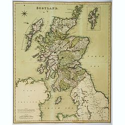
Scotland.
Large folding map of Scotland, published by Henry Teesdale in London. In full body color. Map is detailed with many cities, towns and villages, lochs, main roads, and mou...
Place & Date: London, ca 1829
Selling price: $50
Sold in 2018
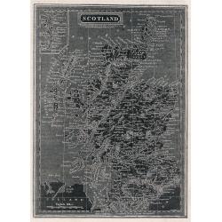
Scotland.
A distinctive woodblock engraved map of Scotland where the printing is reversed - white on black. The map was published in London in 1832 in William Pinnock's "The ...
Place & Date: London, 1832
Selling price: $40
Sold in 2012
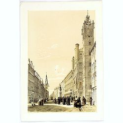
The Trongate, Glasgow. . .
An attractive tinted lithograph from a folio of some 26 tinted litho's, titled Sketches in Scotland, Drawn on Stone from Nature. by Samuel Swarbreck. Signed, dated and ti...
Place & Date: London, 1837
Selling price: $35
Sold in 2020
(Two prints) North Bridge Street Edinburgh / The Regents Bridge, Waterloo Place, Edinburgh.
An attractive pair of tinted lithograph of Edinburgh street scenes from a folio of some 26 tinted litho's, titled Sketches in Scotland, Drawn on Stone from Nature. by Lon...
Place & Date: London, 1837
Selling price: $70
Sold in 2019
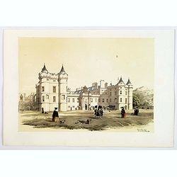
Holyrood Palace & Chapel with Arthur's Seat and Salisbury Crags.
A fine Edinburgh lithograph entitled “Holyrood Palace And Chapel With Arthur’s Seat And Salisbury Crags ” by the London-born artist Samuel Swarbreck. It dates from ...
Place & Date: London, 1837
Selling price: $41
Sold in 2018
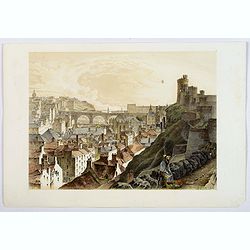
The North Bridge & part of the New & Old Towns of Edinburgh.
A fine Edinburgh lithograph showing the historic North Bridge, linking the New and Old Towns of Edinburgh, by the London-born artist Samuel Swarbreck. It dates from 1837 ...
Place & Date: London, 1837
Selling price: $46
Sold in 2018
La Scozia Meridionale.
Striking Marmocco map with his signature map (Southern Scotland) added. Francesco Costantino Marmocchi (1805 - 1858 ) was an Italian geographer . His other writings de...
Place & Date: Florence, 1838
Selling price: $79
Sold in 2014
Scotland.
A delightful small map of Scotland, by Alfred Adlard, published in his Vignette Modern School Atlas of the World. When looking at this map you are immediately struck by i...
Place & Date: London, 1850
Selling price: $85
Sold in 2018
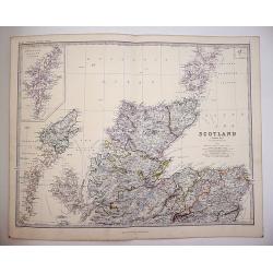
Scotland on Two sheets North and South
Scotland divided onto two large sheets. Scotland, northern sheet,page 7. by Keith Johnston, F.R.S.E. Engraved & printed by W. & A.K. Johnston, Edinburgh. William ...
Place & Date: Edinburgh, 1861
Selling price: $120
Sold in 2019
[4-sheets] Scotland.
Large four-sheet map of Scotland by Edward Weller, published in the 'Dispatch Atlas'.Map consists of a N.W. sheet, from, the Western Isles, Skye, to parts of Ross and Sut...
Place & Date: London, 1863
Selling price: $35
Sold in 2017
Firth of Forth, St. Abbs Head to the Forth Bridge (Maritimes Chart)
Fine large maritime chart featuring a segment of the Scottish east coast including Edinburgh, Haddington and Berwick.First published by the Admiralty in London in 1860. T...
Place & Date: London, 1919
Selling price: $2
Sold in 2015
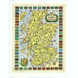
The Story Map of Scotland.
A colorful and detailemap of Scotland, showing the history of that fascinating country in pictorial form. Surrounding the map are the Tartans of 62 differnent Clans. In o...
Place & Date: Chicago, 1939
Selling price: $30
Sold in 2016
L'Ecosse, suivant les nouvelles observations..
With decorative title cartouche upper left corner.This example is unusual in having the additional separately engraved decorative framework border around the map, the res...
Place & Date: Amsterdam 1728.
Selling price: $270
Sold
Scotiae pars Septentrionalis. [2 Maps]
Detailed map in two sheets depicting the Northern part of Scotland.
Place & Date: Amsterdam 1639-44
Selling price: $300
Sold
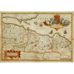
A New Description of the Shyres Lothian and Linlitquo. Be T.Pont.
A Scottish clergyman, Timothy Pont's survey of Scotland of 1595-1608 made that country the best mapped in the world. However it was not until Blaeu issued the maps as Vol...
Place & Date: Amsterdam 1639-44
Selling price: $280
Sold









![[4-sheets] Scotland.](/uploads/cache/39118-250x250.jpg)
![Scotiae pars Septentrionalis. [2 Maps]](/uploads/cache/16215-250x250.jpg)
