Browse Listings in Europe > British Isles > Ireland
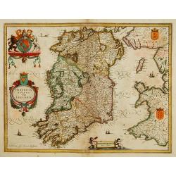
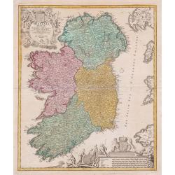
Hiberniae regnum. . .
A detailed and decorative map of Ireland, with an attractive uncolored title cartouche.
Place & Date: Nurnberg 1730
Selling price: $450
Sold in 2010
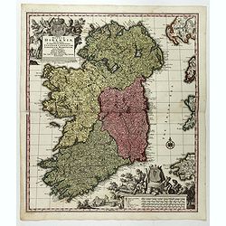
Hiberniae regnum. . .
A detailed and decorative map of Ireland, with an attractive uncolored title cartouche.
Place & Date: Nurnberg 1730
Selling price: $105
Sold in 2012
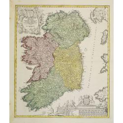
Hiberniae regnum ...
A detailed and decorative map of Ireland, with attractive cartouches.
Place & Date: Nurnberg, 1730
Selling price: $390
Sold in 2013
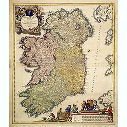
Regnum Hiberniae, tam Secundum IV Provincias Principales Ultoniam, Connaciam, Lageniam, et Momoniam quam peciales, accurate. . .
A very decorative and detailed map of Ireland based on Visscher's map. In upper left corner a large title cartouche with the royal British arms and lower right a large pi...
Place & Date: Augsburg, 1730
Selling price: $167
Sold in 2017
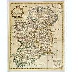
A Map of the Kingdom of Ireland.
A nice example of Seale's general map of Ireland produced for Tindal's "Continuation of Rapin's History." This map is quite detailed, accurate, and easy to read...
Place & Date: London, ca 1732
Selling price: $135
Sold in 2019
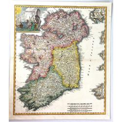
Irlanda.
A beautiful map of Ireland, finely engraved in Italy by Giambatista Albrizzi, with detailed topographical and political information.The map shows the four provinces of Ir...
Place & Date: Venice, 1743
Selling price: $375
Sold in 2019
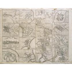
[The Plans of the Principal Towns, Forts & Harbours in Ireland]
A selection of 16 city views (Kilkenny), town plans (Dublin, Londonderry, Coleraine, Gallway, Carrickfergus, Cork, Athlone, Waterford, Belfast, Limerick), forts (Drogheda...
Place & Date: London , 1744
Selling price: $300
Sold in 2021
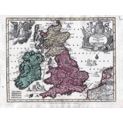
Accuratissima Angliae, Scotiae et Hiberniae tab., …
An elegant map of the British Isles. From: Atlas Minor Praecipua Orbis Terrarum Imperia, Regna et Provincias, Germania, … The maps were drawn by Georg Matheus Seutt...
Place & Date: Augsburg, circa 1744
Selling price: $120
Sold in 2023
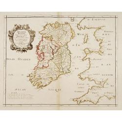
Irlande Royaume divisé en ses quatre Provinces..
SANSON'S MAP OF IRELAND IN ITS THIRD AND RAREST STATE BY GILLES ROBERT.Sanson's 1665 map of Ireland, in it THIRD AND RAREST STATE, with the 1741 imprint of Gilles Robert....
Place & Date: Paris 1741/c.1745
Selling price: $500
Sold
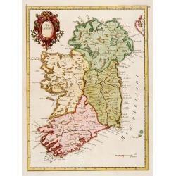
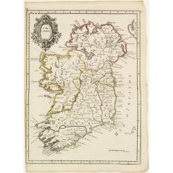
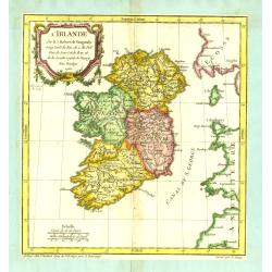
L'Irlande.
Fine map of Ireland.
Place & Date: Paris 1746
Selling price: $100
Sold
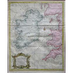
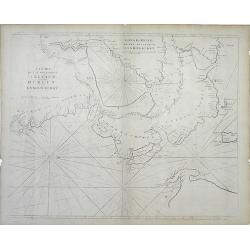
A Correct Chart of St. Georges Channel and the Irish Sea, Including all the Coast of Ireland, and ye West Coast of Great Britain from Cantire to Portland Isle: From the latest & best Observations.
A 1747 nautical chart or maritime map of Ireland and the St. Georges Channel. Engraved by R. W. Seale, the map covers the whole of Ireland as well as adjacent parts of Sc...
Place & Date: London, 1747
Selling price: $160
Sold in 2019
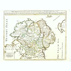
The Province of Ulster Surveyed by Sir William Petty. . .
This map of Ulster (present-day Northern Ireland), published in London by T.Jefferys is based on the Down Survey of Ireland undertaken in 1656–1658. As indicated in the...
Place & Date: London, ca. 1749
Selling price: $400
Sold in 2016
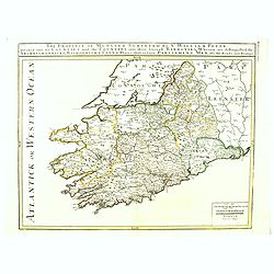
The Province of Munster Surveyed By Sr. William Petty : Divided into its Counties and the Counties into their serevall Barronies, Wherein are distinghished the . . .
This map of Ulster (present-day Northern Ireland), published in London by T.Jefferys is based on the Down Survey of Ireland undertaken in 1656–1658. As indicated in the...
Place & Date: London, ca. 1749
Selling price: $400
Sold in 2016
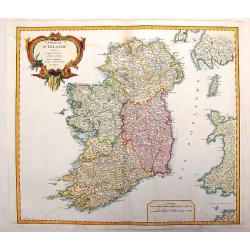
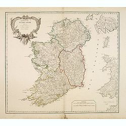
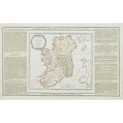
Royaume d'Irlande divisé en ses quatre Provinces
Fine map of Ireland, engraved by the master Delahaye. Fine title cartouche.
Place & Date: Paris 1750
Selling price: $220
Sold
Royaume d'Irlande.
Nice large map of the kingdom of Ireland,divided in the 4 provinces and subdivided in counties,also showing a part of England and of Scotland, fully colored by hand. From...
Place & Date: Paris, 1750
Selling price: $400
Sold
Cities of Ireland (no title).
Sixteen town- plans on one sheet (not numbered): 1:Drogheda, with the battle at the Boyne 2: Londonderry 3:Kinsaile Harbour 4: Chaliamount Fort 5: The city of Dubli...
Place & Date: ca. 1750
Selling price: $239
Sold in 2013
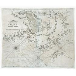
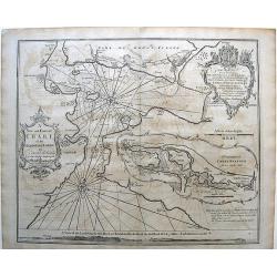
A Chart of the Seacoasts of Ireland from Dublin to London Derry.
Map showing the Irish coast from Dublin heading northeast to the city of Londonderry. The inset, partitioned with a leafy garland, details the passageway leading to Londo...
Place & Date: London, 1750
Selling price: $45
Sold in 2010
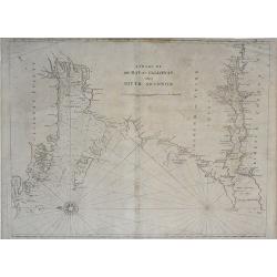
The Southwest Coast of Ireland from Dungarvan to the River Shannon.
Map showing the southwest coast of Ireland and cities within Waterford, Cork and Kerry counties. An inset at the top of the map, divided with a leafy garland, details the...
Place & Date: London, 1750
Selling price: $35
Sold in 2010
Royaume D'Irelande, Divisee en Ses Quatre Provinces.
A very precise and detailed map of Ireland by "Le Sieur". With large fancy title cartouche and scale table. One of the most beautiful maps of Ireland. Gilles R...
Place & Date: Paris, 1750
Selling price: $200
Sold in 2013
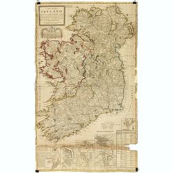
A new map of Ireland divided into its provinces, counties and baronies, wherein are distinguished the bishopricks, borroughs, barracks, bogs, passes, bridges &c. with the principal roads, and the common reputed miles
A magnificent and highly detailed late 18th century map of Ireland, with in lower right corner inset town plans of Dublin, Cork, Limerick, Waterford and Gallway, with pla...
Place & Date: London, 1726-1750
Selling price: $115
Sold in 2015
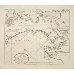
De rivier van Kingsale is geleegen aan de zuyd kust van Irland..
Latitude scale, compass rose and system of rhumb lines, soundings, anchorage's, etc. A wealth of cities and information appear in the chart. Latitude scale, compass rose ...
Place & Date: Amsterdam 1753
Selling price: $475
Sold
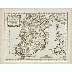
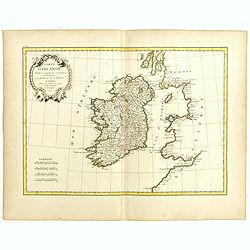
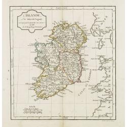
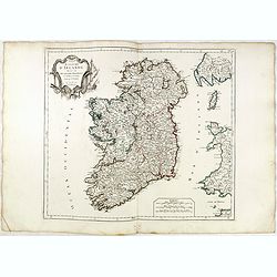
A New and Correct Chart of the Harbour of Corke...
Map of Cork, Ireland (southwest Ireland).
Place & Date: London, c. 1755
Selling price: $55
Sold in 2010
L'Irlande.
Fine map of Ireland with a decorative title cartouche. George Louis Le Rouge was active from 1740- till 1780 as a publisher, and was appointed engineer for the King of Fr...
Place & Date: Paris 1756
Selling price: $85
Sold
A Chart of the Bay of Galloway and River Shannon. . .
A fine nautical chart of the coastline along the Galway Bay of western Ireland by Mount and Page. The Mount and Page publishers firm of London was founded in 1701 by Rich...
Place & Date: London, c.1760
Selling price: $105
Sold in 2010
A Chart of the Seacoasts of Ireland from Dublin to London-Derry. . .
A fine nautical chart of the coastline along the northeast coast of Ireland, showing city of Dublin, by Mount and Page. The Mount and Page publishers firm of London was f...
Place & Date: London, c.1760
Selling price: $120
Sold in 2010
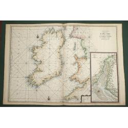
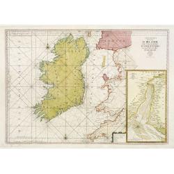
Carte Generale de Costes D'Irlande, et des Costes Occidentales D'Angleterre avec une Partie de celles D'Ecosse.
Very large engraved sea chart, with inset view of the River Dee at Chester. The chart showing the whole of Ireland and the Westcoast of England from Cornwall to Cuningham...
Place & Date: Paris, 1760
Selling price: $400
Sold in 2011
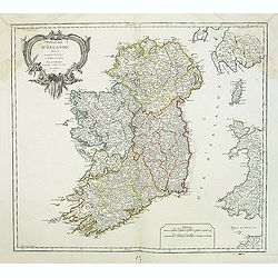
Royaume d'Irlande divisé en ses quatre Provinces.
Fine map of Ireland, engraved by the master Delahaye. Fine title cartouche. With ereased date.
Place & Date: Paris, ca.1760
Selling price: $48
Sold in 2012
L'Irlande.
A first state (of 2) dated 1762. Fine map of Ireland, engraved by E.Dussy. Fine title cartouche upper left engraved by Arrivet. From his Nouvel Atlas Portatif .
Place & Date: Paris, 1762
Selling price: $100
Sold in 2021
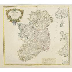
Royaume d'Irlande divisé en ses quatre Provinces.
A detailed map of Ireland from his "Atlas Universel." Gilles Robert de Vaugondy (1688–1766), also known as Le Sieur or Monsieur Robert, and his son, Didier Ro...
Place & Date: Paris, 1753-1768
Selling price: $20
Sold in 2013
L'Irlande. . .
Fine detailed and uncommon map of Ireland. Prepared by Etienne André Philippe de Pretot (1708-1787) a royal censor and professor of history at the Royal Academy of Scien...
Place & Date: Paris, 1770
Selling price: $160
Sold in 2013
Carte Generale des Costes D'Irelande et des Costes..d'Angleterre avec une Partie de celles D'Ecosse..
Attractive chart. Whole of Ireland and England from Ayr to Plymouth. Large scale inset of the Dee estuary up to Chester in decorative frame. Latitude and longitude scales...
Place & Date: Paris 1770
Selling price: $425
Sold
Nieuwe Kaart van Ierland.
28Izaak Tirion (d. 1769) Amsterdam publisher. His ' Nieuwe en beknopte handatlas' saw 6 editions between before 1740 and after 1784. Also ' Tegenwoordige staat van alle v...
Place & Date: Amsterdam, c. 1770
Selling price: $200
Sold in 2015
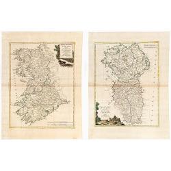
(IRELAND). Parte Del Regno D'Irlanda, cioe' Le Provincie D'Ulster, E Leinster. / Parte Del Regno D'Irlanda, cio+¿ Le Provincie Di Connaught, E Munster Di Nuova Projezione.
Together 2 sheets. Each image c. 31 x 41 cm. Original outline color, both with decorative colored title cartouches. Ireland shown on two double page maps. The first map s...
Place & Date: Venice: Antonio Zatta. 1778
Selling price: $270
Sold in 2020
A map of the Kingdom of Ireland showing the archbishopricks, bishopricks, cities, boroughs, market towns, villages, barracks, mountains [. . .] by J. Rocque, chorographer to His Majesty.
A dramatic large four sheet map, (here on two joined sheets) from Sayer's large Atlas of 1779.Rocque was Topographer to the Prince of Wales and attained his new title aft...
Place & Date: London, 1779
Selling price: $1200
Sold in 2015
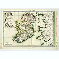
L'Irlande. . .
An attractive map of Ireland, prepared by M. Philippe, embellished with a decorative title cartouche. Drawn and engraved by Vallet and Moithey. With a scale of miles, and...
Place & Date: Paris, 1779
Selling price: $50
Sold in 2018
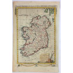
A New and Correct Map of Ireland from the Latest Surveys of That Kingdom.
A fine detailed map of Ireland by John Hamilton Moore in London in 1780. It is from "MOORE'S NEW AND COMPLETE COLLECTION OF VOYAGES AND TRAVELS". Engraved for B...
Place & Date: London, 1780
Selling price: $95
Sold in 2019
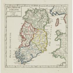
Isle et Royaume D'Irlande ..
Rare map of Ireland prepared by J.B.Nolin and published by Monhare for his Atlas Général a l'usage des colleges et maisons d'education.. Louis Joseph Mondhare published...
Place & Date: Paris 1783
Selling price: $200
Sold
Carte D'Irlande..
Attractive map of Ireland, ornated with a rococo title cartouche. Boundaries outlined in hand color.From theAtlas moderne ou collection de cartes sur toutes les parties d...
Place & Date: Paris, ca 1783
Selling price: $100
Sold
Isle et Royaume d'Irlande. . .
Scarce map of Ireland prepared by Nolin and published by L.J. Mondhare for his Atlas Général a l'usage des colleges et maisons d'education.. Louis Joseph Mondhare was a...
Place & Date: Paris, 1783
Selling price: $90
Sold in 2016
Carte d'Irlande Projettée et assujettie aux Observations Astronomiques. . .
Attractive map of Ireland, ornated with a decorative title cartouche. Boundaries outlined in hand color.Prepared by Le Sieur Janvier, Jean Denis [Robert], French geograph...
Place & Date: Paris, ca 1783
Selling price: $25
Sold in 2019
L'Irlande.
A third state with simplified title cartouche and changed text: Corrigée par Lamarche son succes. An IIIe de la République Françaïse. Sponberg does not mention this v...
Place & Date: Paris, 1784
Selling price: $32
Sold in 2022
Royaume d'Irelande.. et subdivisé en Comtés.
Finely and crisply engraved map of Ireland. With ornamental title cartouche and noteworthy topographical detail.The map was prepared by the Venetian cartographer and publ...
Place & Date: Venice, 1776 - 1784
Selling price: $50
Sold in 2022
L'Irlande divisée..
Map showing Ireland, decorated with a rococo-style cartouche. Left and right a box with geographical information in French about the country (rivers, counties etc.). Prin...
Place & Date: Paris, 1790
Selling price: $60
Sold
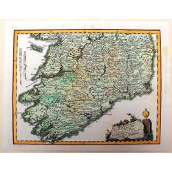
Des Konigreichs Ireland Provint Mounster
This detailed map of southern Ireland depicts the detail of the provinces of Leinster & Connaught. The copper engraved map illustrates the "Map of Munster" ...
Place & Date: Vienna, 1791
Selling price: $54
Sold in 2013
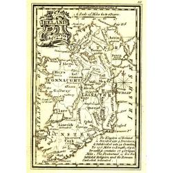
Ireland.
Uncommon miniature map from Gibson's "Atlas Minimus, or a New Set of Pocket Maps of the several Empires, Kingdoms and States of the known World".
Place & Date: London, 1792
Selling price: $55
Sold in 2011
Carte Generale des Costes D\' Irlande, et des Costes Occidentales D\' Angleterre avec une Partie de celles D\' Ecosse.
Large-scale sea chart covering all of Ireland and the western coasts of England, Wales and Scotland. With inset Carte de la Riviere de Dee, ou de Chester depuis son Entr�...
Place & Date: Paris c.1793
Selling price: $300
Sold in 2009
L'Irlande.
Map of Ireland, corrected by Lamarche with the mention of the year in a new cartouche : An. III.e De la République Française.
Place & Date: Paris, 1795
Selling price: $45
Sold in 2011
Plan of the City of Dublin Surveyed for Use of the Division of Justices, to Which have been Added Plans of the Canal Harbor and its Junction with the Grand Canal...
This is a rare separately issued map of Dublin, Ireland as it was at the end of what can be considered a rather prosperous century for the nation's capital and largest ci...
Place & Date: London, 1797
Selling price: $1600
Sold in 2023
Isle et Royaume d'Irlande.
Nice small map of Ireland. From Atlas Portatif Universel, by Robert de Vaugondy.Page 7 outside border top right. Mary Sponberg Pedley does not mention a state without dat...
Place & Date: Paris, 1748-1799
Selling price: $70
Sold
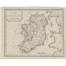
Carte du Royaume d' Irlande . . .
Map of Ireland, from Atlas moderne portatif composé de vingt-huit cartes sur toutes les parties du globe terrestre .. A l'usage des Colléges, des Pensions & des Mai...
Place & Date: Paris, Prudhomme, Levrault, Debray, 1806
Selling price: $60
Sold in 2018
Carte du Royaume Unis d'Irlande.
Map of Ireland, from Atlas de la Géographie de toutes les parties du monde.. Ouvrage destiné pour l'education, et nécessaire aux négocians, aux voyageurs, aux fonctio...
Place & Date: Paris, Prudhomme, Levrault, Debray, 1806
Selling price: $30
Sold in 2014
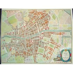
New Map of the City of Dublin For the Year 1816
A hard to find, beautifully rendered plan of Dublin. The work contains wonderful detail, with all streets, major sites and expanses identified. In the lower right corner ...
Place & Date: Dublin, ca. 1816
Selling price: $400
Sold in 2009
Northern Part of Ireland & Southern Part of Ireland (2 Parts)
This is a striking set of maps of Ireland. Published by John Thomson in Edinburgh in 1817. Essentially two separate maps, the first map (image top) depicts Northern Irela...
Place & Date: Edinburgh, 1817
Selling price: $80
Sold in 2016
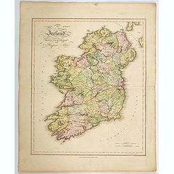
Ancient and Modern Ireland.
A lovely large scale map of the island of Ireland, produced in James Playfair's atlas. The various counties are highlighted in differing colors, with major roads marked, ...
Place & Date: Edinburgh, 1821
Selling price: $150
Sold in 2022
Ireland.
A distinctive woodblock engraved map of Ireland where the printing is reversed - white on black. The map was published in London in 1832 in William Pinnock's "The Gu...
Place & Date: London, 1832
Selling price: $40
Sold in 2012
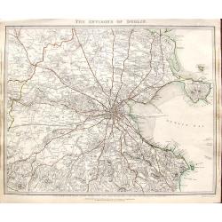
The environs of Dublin.
A very detailed map of the region surrounding Dublin, extending to Killiney Bay, Muldouny Bay and County Kildare. The map also locates churches, lodges, parks, roads, etc...
Place & Date: London, 1837
Selling price: $17
Sold in 2018
Ireland.
An attractive steel engraved map of Ireland, with each county divided by a different color. A pleasing amount of detail is provided. Also with a small inset map naming th...
Place & Date: London, 1839
Selling price: $60
Sold in 2023
Ireland.
A delightful small map of the island of Ireland, by Alfred Adlard, published in his Vignette Modern School Atlas of the World. When looking at this map you are immediatel...
Place & Date: London, 1850
Selling price: $85
Sold in 2018
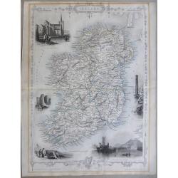
Ireland
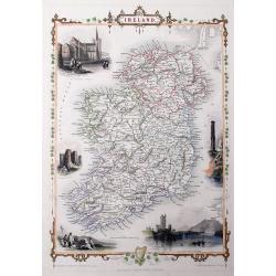
A highly detailed and decorative map of Ireland with Illustrations of St Patricks Dublin, Limerick castle, Round Tower Wicklow, The Holy well, and Ross Castle Lake Killar...
Place & Date: London, 1851
Selling price: $100
Sold in 2019
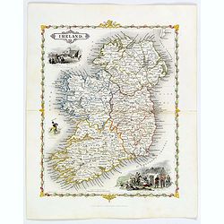
Ireland
A very decorative steel-engraved map of the island, highly detailed with place names, railroads, rivers, hills, bays, etc.Attractively illustrated with vignette style vie...
Place & Date: London, 1851
Selling price: $107
Sold in 2016
Ireland
This is the uncommon and slightly later edition by Rapkin based on Tallis' maps. The vignettes have been removed and the map is issued in black and white. With decorative...
Place & Date: London 1855
Selling price: $50
Sold
Carte des entrées de la Mer D'Irlande et du Canal de Bristol. . .
A large sea-chart of southern Ireland and parts of Cornwall and Wales. With numerous old pencil notes. colored yellow dots indicate the fire signals along the coasts. Wit...
Place & Date: Paris, 1856
Selling price: $30
Sold in 2020
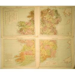
[4-sheets] Ireland.
Large four-sheet map of Ireland by Edward Weller, published in the 'Dispatch Atlas'. Map consists of a N.E. sheet, a S.E. sheet, a N.W. sheet, which bears the title, and ...
Place & Date: London, 1863
Selling price: $36
Sold in 2017
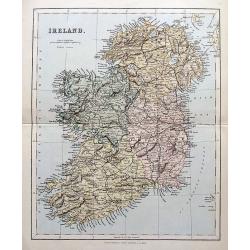
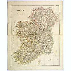
Ireland.
A highly detailed map of the island. Names many towns, areas, rivers, lochs, bays, railways etc.
Place & Date: London, Edingburgh & Glasgow, ca. 1870
Selling price: $25
Sold in 2018
Ireland (4 Sheets).
Original map for Letts’s Popular Atlas of the World published in 1889 by Mason & Payne of London. This map is printed in color on four sheets, and has the added sta...
Place & Date: London, c1880
Selling price: $30
Sold in 2019
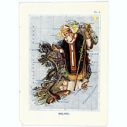
Ireland.
A fun and unusual map of Ireland, in the shape of St.Patrick banishing the serpents from the country. Map No. 4 in good printed color, shows coastal cities, towns, bays, ...
Place & Date: London, 1912
Selling price: $95
Sold in 2017
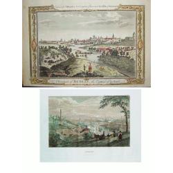
LOT of 2: 1) A Prospect of Dublin the Capital of Ireland 2) Dublin
Two wonderful views of Dublin offered as one lot. Item 1) shows the Liffey River winding through the city. The foreground is filled with citizens, some wealthy and othe...
Place & Date: Item 1) London, ca. 1780. Item 2) Philadelphia, dated 1838.
Selling price: $275
Sold in 2010
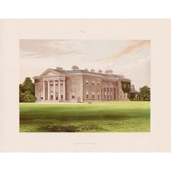
A set of 12 prints of the country seats of the Noblemen & Gentlemen of Ireland
A set of 12 original 1870 color prints from The Rev. F.O. Morris work “A Series of Picturesque Views of Seats of the Noblemen & Gentlemen of Great Britain and Irela...
Place & Date: London & Dublin, 1870
Selling price: $70
Sold in 2017
Hibernia regnum vulgo Ireland.
Fine map of Ireland with large coat of arms.
Place & Date: Amsterdam 1639-44
Selling price: $300
Sold
Le Royaume d'Irlande..
Uncommon map of Ireland. A visually stunning map with a large title cartouche. This large one-sheet map was produced by the Venetian cosmographer Vincenzo Coronelli when ...
Place & Date: Paris 1690 / CORONELLI,P.
Selling price: $650
Sold
![[The Plans of the Principal Towns, Forts & Harbours in Ireland]](/uploads/cache/47406-250x250.jpg)




![A map of the Kingdom of Ireland showing the archbishopricks, bishopricks, cities, boroughs, market towns, villages, barracks, mountains [. . .] by J. Rocque, chorographer to His Majesty.](/uploads/cache/92786-250x250.jpg)






![[4-sheets] Ireland.](/uploads/cache/39116-250x250.jpg)
