Browse Listings in Europe > British Isles > General
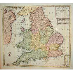
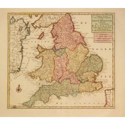
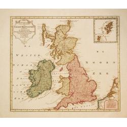
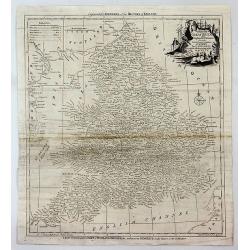
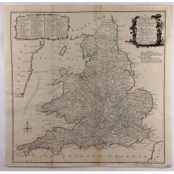
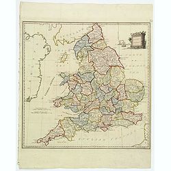
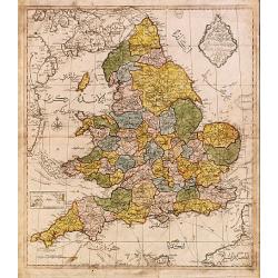
Nieuwe Kaart van't Zuider Gedeetle van Groot Britannie.
A very attractive and detailed map of England and Wales. This work includes topography along with principal roads and cities. Portions of Scotland, Ireland and France are...
Place & Date: Amsterdam, 1763
Selling price: $110
Sold in 2009
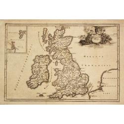
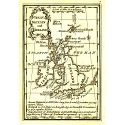
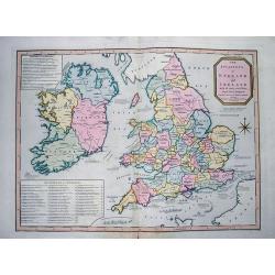
Great Britain and Ireland.
Uncommon miniature map of Great Britain and Ireland, engraved by Thomas Kitching for "A New General and Universal Atlas Containing Forty five Maps by Andrew Dury&quo...
Place & Date: London, 1761-1763
Selling price: $25
Sold in 2016
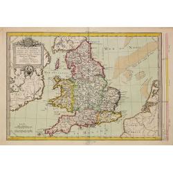
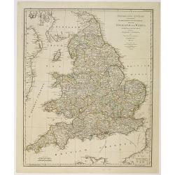
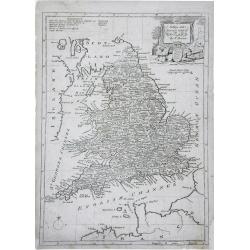
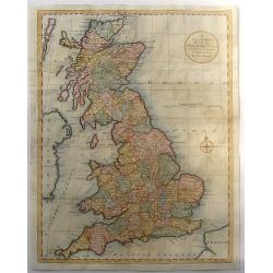
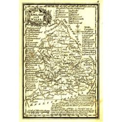
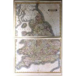
England and Wales.
Uncommon miniature map in two sheets of England and Wales engraved by Thomas Kitching for "A New General and Universal Atlas Containing Forty five Maps by Andrew Dur...
Place & Date: London, 1761-1763
Selling price: $60
Sold
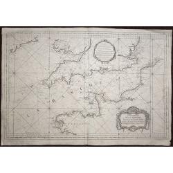
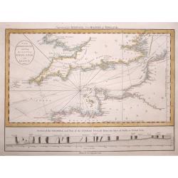
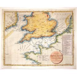
Carte de la Manche réduite Pour servir aux Vaisseaux du Roy.
A highly detailed sea chart of the English channel with accurate representation of the coasts of England and France. The map extends north to Ireland, in the east to Oste...
Place & Date: Paris, 1763
Selling price: $350
Sold in 2020
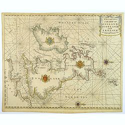
A New and Correct Chart of England Scotland and Ireland.
A striking sea chart of the British Isles, centered on the Isle of Man, published by Mount and Page in London, in the latter half of the eighteenth century. The chart is ...
Place & Date: London, 1764
Selling price: $100
Sold in 2022
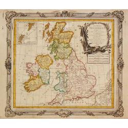
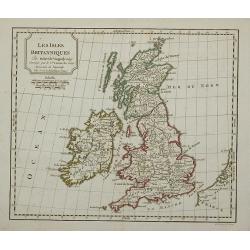
Les Isles Britanniques, 1766. Plus 2 other maps of the area
Les Isles Britanniques, 1766. Plus 2 other maps of the area Louis Brion de la Tour (1756-1823), ' Atlas Géneral, Civil et Ecclésiastique', 1766, ' Atlas Général', 17...
Place & Date: Paris, 1766
Selling price: $110
Sold in 2020
Carte Des Entrees De La Tamise
This is a beautiful antique nautical chart of the east coast of England, focusing on the counties of Suffolk Kent and Essex as well as the entrance to the Thames River. T...
Place & Date: Paris, 1769
Selling price: $200
Sold in 2023
Nieuwe Kaaart van 't Zuider Gedeelte van Groot Britannie behelsende Het Koningryk Engeland.
Izaak Tirion (d. 1769) Amsterdam publisher. His ' Nieuwe en beknopte handatlas' saw 6 editions between before 1740 and after 1784. Also ' Tegenwoordige staat van alle vol...
Place & Date: Amsterdam, c. 1770
Selling price: $35
Sold in 2020
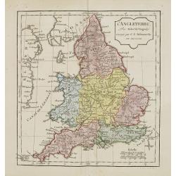
L'Angleterre..
Fine detailed and uncommon map of England. Prepared by Etienne André Philippe de Pretot (1708-1787) a royal censor and professor of history at the Royal Academy of Scien...
Place & Date: Paris, 1770
Selling price: $180
Sold in 2011
Nieuwe Kaart van de Eilanden van Groot Brittannien behelzende de Koningryken Engeland, Scotland en ierland.
Izaak Tirion (d. 1769) Amsterdam publisher. His ' Nieuwe en beknopte handatlas' saw 6 editions between before 1740 and after 1784. Also ' Tegenwoordige staat van alle vol...
Place & Date: Amsterdam, c. 1770
Selling price: $170
Sold in 2010
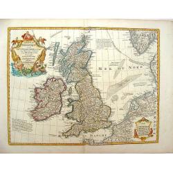
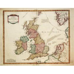
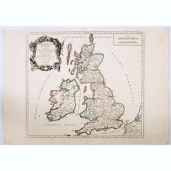
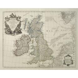
Les Isles Britanniques ou Sont le Royaumes d\'Angleterre .
Showing the British Isles and Ireland. It was published by Phillipe Buache in France in 1772. The map features two large Renaissance cartouches. Guillaume de l'Isle (167...
Place & Date: Paris, 1772
Selling price: $150
Sold in 2013
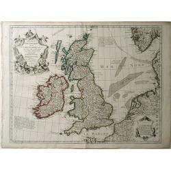
Les Isles Britanniques ou sont le Rme. d'Angleterre Tire de Sped Celuy d'Ecosse...
Originally issued in 1702 by Delisle, this influential map of the British Isles map has his characteristic crisp style and topographical detail. On the right hand side th...
Place & Date: Paris, 1772
Selling price: $150
Sold in 2016
Insularum Britannicarum Facies Antiqua.
Christoforus Cellearius (1638-1707), geographer. ' Geographia Antiqua', 1686-1812
Place & Date: Leipzig, 1773
Selling price: $120
Sold in 2008
Insularum Britannicarum Facies Antiqua
A fine copperplate map of ancient Britain by Christophorus Cellarius in 1773. The Orkney and Shetland islands are shown in an insert at the top left corner. The decorativ...
Place & Date: Leipzig, 1773
Selling price: $40
Sold in 2019
Itinéraire anglois containing the great, direct and cross roads, through England and Wales. . .
Uncommon and detailed map of England and Wales.
Place & Date: London, Sayer and Bennett, 1775
Selling price: $85
Sold in 2011
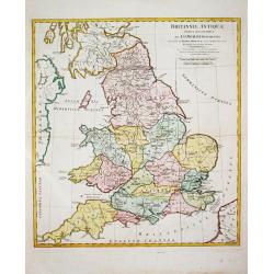
Brittanniae Antiquae Tabula Geographica.
John Horsley's map of antique England, published in ' A Complete Body of Ancient Geography'.
Place & Date: London, R. Sayer and J. Bennett, 1777
Selling price: $230
Sold in 2011
A New and Accurate Map of England. . .
A finely detailed, small scale map of England by Thomas Bowen. Emmanuel Bowen was one of the leading English mapmakers of the eighteenth-century, and was cartographer to ...
Place & Date: London, c.1777
Selling price: $30
Sold in 2010
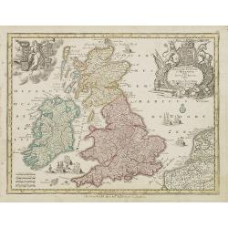
Accuratiffima Angliae Scotiae et Hiberniae. . .
Miniature map of the United Kingdom with Scotland and Ireland, a reduction of Seutter''s folio map.From Atlas Minor, here published by Johann Martin Will, with his addres...
Place & Date: Augsburg, J.M.Will, 1778
Selling price: $60
Sold in 2023
L'Angleterre... par Mr. Philippe. . .
An unusual copper engraved map of England, also showing parts of Ireland. Filled with places names in England. Decorative title cartouche. With a curious climatalogical s...
Place & Date: Paris, 1779
Selling price: $48
Sold in 2020
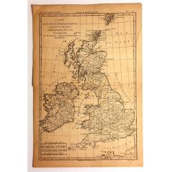
Carte des Isles Britanniques.
Rigobert Bonne (1727-1795), French cartographer. His maps are found in a.o. Atlas Moderne (1762), Raynal's Histoire Philos. du Commerce des Indes (1774) and Atlas Encyclo...
Place & Date: Paris, c. 1780
Selling price: $85
Sold in 2018
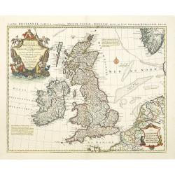
Magnae Britanniae Tabula, comprehendens Angliae, Scotiae ac Hiberniae.
The 1702 Delisle general map of the British Isles, copied by Pierre Mortier in 1702 and here in a second state with the address of Jean Covens and Cornelis Mortier.The Am...
Place & Date: Amsterdam, ca. 1780
Selling price: $220
Sold in 2010
Accurate Map of That District of Great Britain Called England & Wales...
A very detailed map of Great Britain by Thomas Kitchin, from Walpoole's New & Complete British Traveller, published in 1784.The map shows the counties and identifies ...
Place & Date: London, ca. 1780
Selling price: $12
Sold in 2017
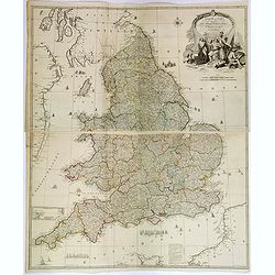
The Roads of Great Britain. Itineraire de la Grande Bretagne. Published as the Act directs Jan 1st 1781 By William Faden Succr to the late T Jefferys Geographer to the King, Charing Cross
A rare example of Faden's desirable folding map 'Roads of Great Britain' in its first edition of 1781.Covering from Scotland to Cornwall, this large pocket map was design...
Place & Date: London, 1781
Selling price: $120
Sold in 2017
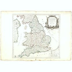
Carte du Royaume de l'Angleterre divisé par Provinces, Schires ou Comtés ..
Rare map of England prepared after J.B.Nolin and published by Monhare for his Atlas Général a l'usage des colleges et maisons d'education.. Louis Joseph Mondhare publis...
Place & Date: Paris 1783
Selling price: $135
Sold
Insularum Britannicarum Tabula Geographica.
Jean Lattré, Paris-based engraver and publisher. Worked with Robert de Vaugondy, J. Janvier and R. Bonne. " Atlas Monderne', 1771, 1783 , 1793. Rigobert Bonne (1727...
Place & Date: Paris, 1783
Selling price: $90
Sold in 2011
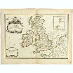
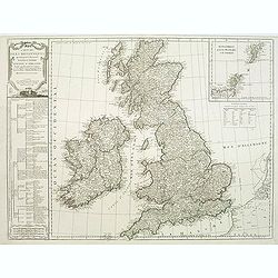
Les isles Britanniques comprenant les Royaumes d\'Angleterre d\'Ecosse et d\'Irlande..
Attractive map of the British Isles, ornated with a decorative title cartouche and a scale cartouche.With inset map including the Orcade and Shetland Islands. Boundaries ...
Place & Date: Paris, ca 1783
Selling price: $100
Sold in 2008
Les Isles Britanniques comprenant les Royaumes d'Angleterre, d'Ecosse et d'Irlande . . .
Attractive map of the British isles, ornated with a decorative title cartouche. Boundaries outlined in hand color.Prepared by Le Sieur Janvier, Jean Denis [Robert], Frenc...
Place & Date: Paris, ca 1783
Selling price: $18
Sold in 2019
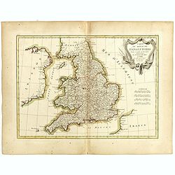
Carte du Royaume d'Angleterre . . .
Attractive map of the United Kingdom, ornated with a decorative title cartouche. Boundaries outlined in hand color.Prepared by Le Sieur Janvier, Jean Denis [Robert], Fren...
Place & Date: Paris, ca 1783
Selling price: $17
Sold in 2019
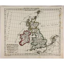
Carte des Isles Britanniques
Pierre Bourgoin, Paris-based engraver and publisher. Published in 1784 his uncommon ' Atlas Élémentaire de la Géographie'.Decorative map of the British Isles extending...
Place & Date: Paris, 1784
Selling price: $130
Sold in 2011
Britannicae Insulae in quibus Albion.. Et Ivernia..
Map of the British Isles. Ornated with a rococo title cartouche in the upper left corner.Venetian edition of Giles Didier Robert De Vaugondy's map based on Sanson. From &...
Place & Date: Venice, 1776 - 1784
Selling price: $200
Sold in 2008
Le royaume d'Angleterre..subdivisé en Shires ou Comtés.
Finely and crisply engraved map of British Isles including the coasts of France and Ireland.Venetian edition of Giles Didier Robert De Vaugondy's map from Atlas Universel...
Place & Date: Venice, 1778 - 1784
Selling price: $40
Sold in 2023
A New most Accurate & Complete Map of All the Direct and the Principal Cross Roads in England and Wales.
A fine double page map of England and Wales delineating all the major roads by Thomas Kitchin for Walpoole's "New and Complete British Traveller". Features incl...
Place & Date: Leipzeg, 1784
Selling price: $26
Sold in 2018
Britannicae Insulae in quibus Albion. . . Et Ivernia. . .
A large map of the British Isles. Ornated with a rococo title cartouche in the upper left corner.Venetian edition of Giles Didier Robert de Vaugondy's map based on Sanson...
Place & Date: Venice, 1776 - 1784
Selling price: $23
Sold in 2020
Carte des Isles Britanniques
Detailed map featuring all of Britain including the Shetland Islands. Rigobert Bonne (1727–1795) was one of the most important cartographers of the late 18th century. I...
Place & Date: Paris, 1785
Selling price: $22
Sold in 2015
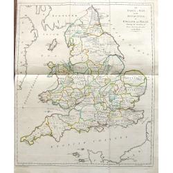
An Index Map to the Antiquities; of England and Wales. Shewing the Situation of every building described in this work.
A large and unusual map showing the counties, rivers, major cities, castles, etc. Extends from Holy Island of Lindisfarne until the Channel Islands. Engraved by Francis V...
Place & Date: London, 1787
Selling price: $17
Sold in 2019
Select Views in Great Britain. Engraved by S. Middiman, from Pictures and Drawings by the most eminent Artists. With descriptions
36 engraved plates by Samuel Middiman. Between the plates a text leave with french and english description. Plates are dated 1784 - 1788. Copper-engraved calligraphic tit...
Place & Date: London, 1788
Selling price: $300
Sold in 2009
A New and Correct Map of Great Britain from the Most Accurate Surveys.
Map of England, Scotland and Wales with the individual counties named and outlined. Hadrian's Wall & Severus Wall are shown but not labeled.Thomas Bowen (died 1790) w...
Place & Date: London, 1788
Selling price: $35
Sold in 2016
Carte des isles britanniques. . .
A charming map of England, based on a map of Thomas Kitchin. Published by Charles François Delamarche (1740-1817). As successor to the great DeVaugondy, the French publi...
Place & Date: Paris, 1789
Selling price: $96
Sold in 2011
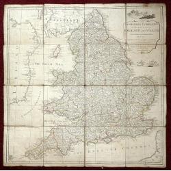
The Traveller's Companion or the Post roads of England and Wales: With the Distances in Measured Miles By the late John Rocque Chorographer to the King and it is laid on linen in sixteen sections.
Linen-backed folding map of England and Wales by John Rocque published by Robert Sayer of No 53 Fleet Street London. This map is the Robert Sayer published map of 1789 no...
Place & Date: London, 1789
Selling price: $230
Sold in 2013
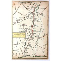
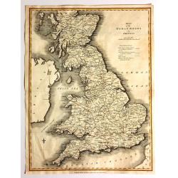
A General Map of the Roman or Picts Walls with the Adjacent Country including the Stations per Lineam Valli
A general Map of the Roman or Picts Walls, (Hadrian's Wall) in Cumberland and Northumberland, and Scotland. Engraved by John Cary for Richard Gough in London around 1789....
Place & Date: London, 1789
Selling price: $20
Sold in 2018
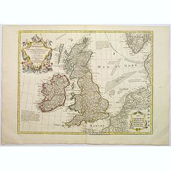
Les Isles Britanniques ou sont le Rme. D'Angleterre . . . Par G. De L'Isle. . . A Paris Chez Dezauche. . .
An uncommon, but attractive map of the British Isles. The bottom right shows the coasts of the Netherlands, Belgium, and northern France and at the upper right is the sou...
Place & Date: Paris, c.1790
Selling price: $150
Sold in 2017
Les isles britanniques qui contiennent les royaumes d'Angleterre, Ecosse . . .
Uncommon general map of the British Isles by Jan Barendt Elwe. With decorative title cartouche and the date of publication, 1792.
Place & Date: Amsterdam, 1792
Selling price: $200
Sold in 2010
Great Britain and Ireland.
Uncommon miniature map from Gibson's "Atlas Minimus, or a New Set of Pocket Maps of the several Empires, Kingdoms and States of the known World".
Place & Date: London, 1792
Selling price: $30
Sold in 2011
England and Wales.
Uncommon miniature map from Gibson's "Atlas Minimus, or a New Set of Pocket Maps of the several Empires, Kingdoms and States of the known World".
Place & Date: London, 1792
Selling price: $30
Sold in 2011
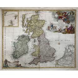
Les Isles Britanniques qui contiennent les Royaumes d' Angleterre, Escosse, et Irlande distingues en leurs principales Provinces...
Jan Elwe's edition of Alexis Hubert Jaillot's fine map of the British Isles was issued nearly 100 years after it first appeared. The title cartouche is embellished with p...
Place & Date: Amsterdam, 1792
Selling price: $300
Sold in 2013
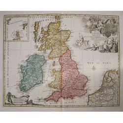
Les Isles Britannique qui contiennent les Royaumes d'Angleterre, Ecosse et Irlande.
A large folio format hand colored copper engraving of Great Britain, with The Netherlands and Belgium also depicted, published in Amsterdam in 1792 by Jan Barent Elwe. Sc...
Place & Date: Amsterdam, 1792
Selling price: $200
Sold in 2019
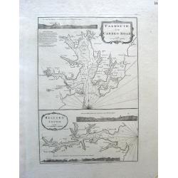
Falmouth and Carreg Road, Helford Sound.
Map of Falmouth (Cornwall), England.Robert Laurie (1755-1836) and James Whittle (1757-1818) began their map printing business in the 1790s in London. They published many ...
Place & Date: London, c. 1794
Selling price: $325
Sold in 2010
The British Channel including the Coasts of England and France.
The British Channel including the Coasts of England and France by The British Channel including the Coasts of England and France by Thomas Jefferys, published in 1794.T...
Place & Date: London, 1794
Selling price: $115
Sold in 2014
England and Wales drawn from the most accurate Surveys. . .
A delightful, large four sheet map of England and Wales, published in London towards the end of the eighteenth century. This impressive large-scale map was drawn by Rocqu...
Place & Date: London, ca 1794
Selling price: $100
Sold in 2018
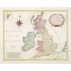
Karte von Grossbritannien und Ireland.
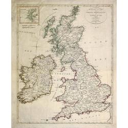
An attractive large sized map of Great Britain, including and inset map of the Shetland Islands in the upper left-hand corner. With a decorative title cartouche in the up...
Place & Date: Vienna, 1795
Selling price: $810
Sold in 2011
Les Isles Britanniques.
Map of the British Isles, corrected by Lamarche with the mention of the year in a new cartouche : l'an 3.me de la République Française
Place & Date: Paris, 1795
Selling price: $30
Sold in 2011
Present Britain.
A fully colored map of England and Wales from An Universal Atlas Consisting of a Complete Set of Maps, peculiarly adapted to illustrate and explain ancient and modern geo...
Place & Date: London, 1797
Selling price: $12
Sold in 2021
Isles Britanniques Premiere Carte Generale et Physique.
A detailed copper engraving map of the British Isles by Mentelle and Chanlaire from their "Atlas Universel". Published in Paris in 1798. The map shows mountains...
Place & Date: Paris, 1798
Selling price: $21
Sold in 2017
The invasions of England and Ireland with all their civil Wars since the Conquest.
Very interesting map showing the British Isles with their invasions and battles. Invasions (or attempts) are shown by small sailing ships, explained with text and the dat...
Place & Date: London, 1801
Selling price: $135
Sold in 2012
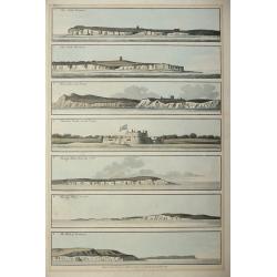
Five colored plates from the `Little Sea Torch'or, ‘True guide for coasting pilots:'
Published in Serres's scarce marine pilot, 'The Little Sea Torch', an acknowledged English edition of Bougard's 'Le Petit Flambeau de la Mer', although extensively revise...
Place & Date: London, 1801
Selling price: $300
Sold in 2013
A Map of England, Wales & Scotland
With an inlay of a portion of Scotland, this map depicts all the direct and principal crossroads. There is an interesting compass rose. William Faden (1750 - 1836) was ...
Place & Date: London, 1801
Selling price: $11
Sold in 2015
Map of England.
Very rare Ottoman printed map of the world in a Mercator projection, centered on Australia.From Jedid Atlas Tercümesi or New Atlas , printed 1218 H. or 1803 in Üsküdar...
Place & Date: Üsküdar, 1803
Selling price: $660
Sold
Chart of the British Channel with the Opposite Coast of the United Kingdom and the Republic of France.
Finely detailed chart of the English Channel from the east coast of Ireland to France. With a circular title cartouche and two tables, one that lists the dates of invasio...
Place & Date: London, 1803
Selling price: $41
Sold in 2016
L'Angleterre.
Map of England. By C. F. Delamarche, successor of Robert de Vaugondy, Geographer.
Place & Date: Paris, 1794 - 1806
Selling price: $40
Sold in 2011
(Two copies of ) Nieuwe kaart van Groot Brittanje en Ierland.
Uncommon map of England and Ireland, printed by François Bohn in Haarlem, who was active from 1786 till 1819. Engraved by C.van Baarsel.
Place & Date: Haarlem 1807
Selling price: $50
Sold in 2013
A New Map of the British Isles from the Latest Authorities.
An accurate map of early nineteenth century Great Britain. Two scales at bottom left and title at top right. With an insert of Shetland Islands. All British counties have...
Place & Date: London, 1807
Selling price: $30
Sold in 2017
Map of the Roman Roads in Britain
Interesting map featuring the comparison of current roads (in 1809) to the ancient Roman roads. It was published by J. White, and the engraver was Neele. I could not find...
Place & Date: London, 1809
Selling price: $111
Sold in 2017
Les Isles Britanniques.
Interesting map of the British Isles engraved on copper by Glot. From the scarce “Atlas Portatif, contenant la G‚ographie Universelle Ancienne et Moderne” by Eustac...
Place & Date: Paris, 1809
Selling price: $20
Sold in 2018
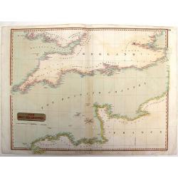
The British Channel.
Fine example of John Thomson’s 1814 map of the English Channel. John Thomson (1777-c1840), was a Scottish cartographer from Edinburgh, celebrated for his 1817 New Gen...
Place & Date: Edinburgh, 1814
Selling price: $26
Sold in 2015
England.
Fine hand-colored, engraved map of England and Wales with Thomson's high level of detail. From "New General Atlas".John Thomson (1777-1840), was a Scottish cart...
Place & Date: Edinburgh, 1814
Selling price: $89
Sold in 2016
Northern Part of England.
Handsome hand colored map of Northern England, extending as far south as Anglesey. Inset view of ‘The Rope Bridge between the Islands of Holyhead and Anglesey’ at top...
Place & Date: Edinbugh. 1817
Selling price: $15
Sold in 2017
Les Isles Britanniques ou sont le Rme. D'Angleterre . . . Par G. De L'Isle. . . A Paris Chez Dezauche. . .
Uncommon map of the British Isles. The bottom right shows the coasts of the Netherlands, Belgium, and northern France and at the upper right is the southern tip of Norway...
Place & Date: Paris, c.1823
Selling price: $425
Sold in 2009
Les Isles Britanniques ou Sont le Rme d\"Angleterre Tire de Speci Celuy d\'Ecosse tire de the Pont &C et Celuy d\'Irlande tire de Petti le tout Rectife par Diverfes Observations.
Map of the British Isles by Guillaume De L'Isle. This wonderfully detailed map includes Great Britain, Scotland, Wales and Ireland, as well as the coast of France. All ma...
Place & Date: Paris, 1823
Selling price: $45
Sold in 2010
Le isole Britanniche. . .
Charming map of England, Ireland, Scotland from the rare atlas Atlante Tascabile o sia Serie di Num. XXI Cartine Geografiche nelle quali si rappresenta in ristretto lo St...
Place & Date: Rome, 1823
Selling price: $80
Sold in 2011
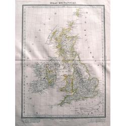
Islas Britanicas.
Very rare Spanish map of the British Isles by Domingo Estrue. With the longitudes east of Madrid. Very detailed map with towns, areas, roads, and many islands shown. Thi...
Place & Date: Madrid, 1830
Selling price: $40
Sold in 2014
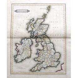
British Islands
Daniel Lizars fine map of the British Isles, pubslished by his son William Hole Lizars. With main roads, counties, cities, etc.
Place & Date: Edinburgh, ca. 1830
Selling price: $61
Sold in 2019
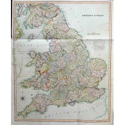
England & Wales
Large and highly detailed map of England & Wales, from Edinburgh to the French coast. Includes ferries to Ireland and Isle of Man, streets with distances between town...
Place & Date: London, 1831
Selling price: $35
Sold in 2016
Map of the Canals and Navigable Rivers in England, Wales and Scotland. . .
From The History of Lancashire by Edward Baines, engraved by Hall, and by William Swire, Surveyor, Leeds. Shows all of England and Wales and Scotland as far north as Pert...
Place & Date: Leeds, 1824-1836
Selling price: $11
Sold in 2021
La Gran Brettagna . . . .
A rare and detailed double-page map of Great Britain with three inset maps upper left of the Shetland Mainland Islands, the Helgoland Island (occupied by the English in 1...
Place & Date: Venice, 1840
Selling price: $72
Sold in 2011
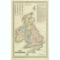
Iles Britanniques.
Finely engraved map of British Isles prepared by A.H.Dufour and engraved by Giraldon-Bovinet. Published by Jules Renouard in his uncommon atlas "Le globe Atlas class...
Place & Date: Paris, Jules Renouard, ca.1840
Selling price: $30
Sold in 2011
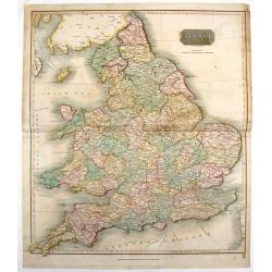
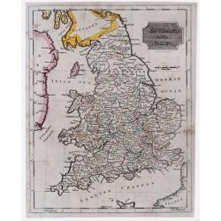
England & Wales.
Highly detailed map of England & Wales. The map provides good topographic details. The title is inside a frame-style cartouche. By F.W. Topham in London in 1840.
Place & Date: London, 1840
Selling price: $10
Sold in 2021
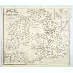
Map Exhibiting the Navigable Rivers, the completed & proposed Canals, & Rail-Roads of Great Britain & Ireland. . .
A large folded map of the navigable rivers, plus the existing or proposed canals and railways of G.B. & Ireland, originally published in London, but this example is p...
Place & Date: New York, 1843
Selling price: $13
Sold in 2019
England
A very large map of England and Wales, focusing on the railway network constructed by W. H. Lizars from the most recent surveys, published by Lizars in Edinburgh in 1848....
Place & Date: Edinburgh, 1845
Selling price: $20
Sold in 2016
Isles Britanniques..
Decorative map of England, prepared by J.G.Barbié du Bocage.Engraved by Ch.Smith, published by Basset who was established in Paris, rue de Seine 33. From atlas Illustré...
Place & Date: Paris 1846
Selling price: $20
Sold
Karta öfver Stora Britannien eller England, Scotland och Irland.
An very rare map of Great Britain with Swedish text. This is an updated version of his map of 1819 and is now dated 1832.From his atlas "Geographisk Hand-Atlas"...
Place & Date: A. Wiborgs förlag, Stockholm, ca. 1848
Selling price: $100
Sold in 2013
