Browse Listings in Europe > British Isles > General
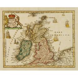
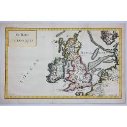
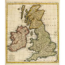
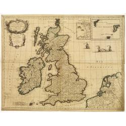
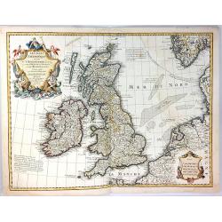
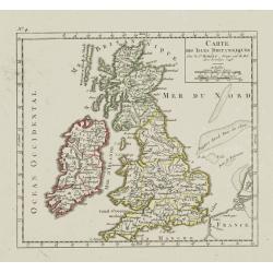
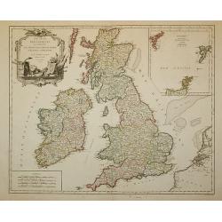
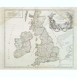
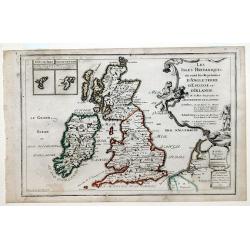
Les Isles Britanniques, ou sont les Royaumes d'Angleterre, d'Escosse et D'Ireland.
Map of the British Isles: England, Ireland and Scotland, each delineated through the use of different outline colors, from the atlas "Le Monde Dresse et Dedie Anosse...
Place & Date: Paris, 1701
Selling price: $70
Sold in 2010
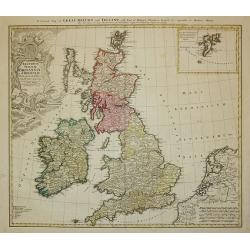
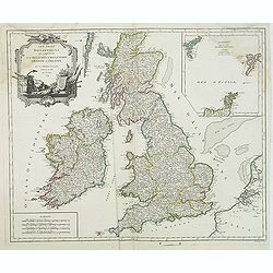
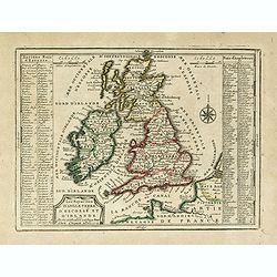
Les isles Britanique, ou sont les Royaumes d'Angleterre, d'Ecosse et d'Irlande. . .
The map includes British Isles, with insets of Ferro and Shetland Islands. Engraved by Vincent de Ginville. From his "Atlas Curieux", published 1700-1705, in th...
Place & Date: Paris, 1705
Selling price: $70
Sold in 2011
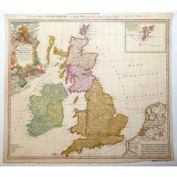
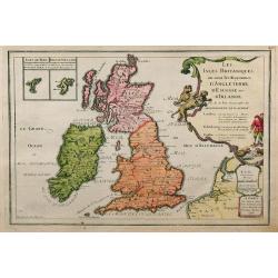
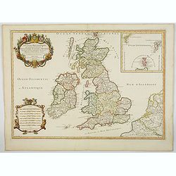
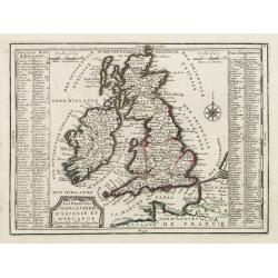
Les Isles Britanniques, ou sont les Royaumes d'Angleterre, d'Ecosse et d'Irlande.
This finely engraved map of the British Isles also has some detail of the adjacent French coast. The Fero and the Shetland Islands are included in small insets. Unusually...
Place & Date: Paris, 1705
Selling price: $145
Sold in 2009
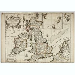
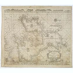
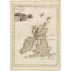
Les Isles Britanniques qui contiennents les- Royaumes, d' Angleterre, Escosse, et Irland.
Large scale map of England, Scotland and Ireland. To the left inset map of Shetland and Orkney Islands. A first state, without with lines of latitude and longitude. Extre...
Place & Date: Amsterdam, c.1705
Selling price: $350
Sold in 2020
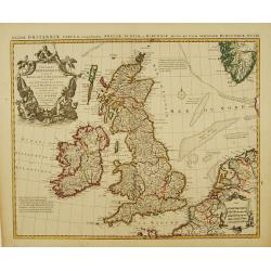
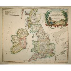
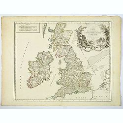
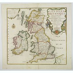
Les Isles Britanniques ou se trouvent Les Royaumes d'Angleterre, d'Ecosse et d'Irlande. . .
A nice, scarce large scale map of the British Isles by de Fer, published in Paris at the beginning of the 18th century. Outline color highlight the old Saxon, pre Norman ...
Place & Date: Paris, 1706
Selling price: $125
Sold in 2020
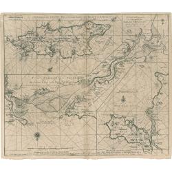
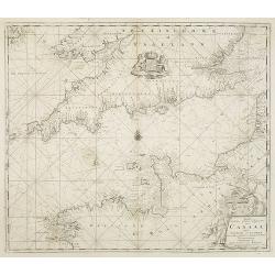
Nieuwe Wassende Graave Paskaart van't Canaal Tussen Engelandt en Vrankryk. . .
Chart showing the west cost of France and the south coast of England. Decorative cartouche lower right.
Place & Date: Amsterdam, c.1708
Selling price: $210
Sold in 2010
Les Isles Britanniques qui contienuent les Royaumes d'Angleterre, Escosse, et Irlande. . .
This is the 1709 Hubert Jaillot map of the British Isles. The map highlights the region from the Atlantic Ocean to the North Sea, and from the Orkney Islands to the Pas d...
Place & Date: Paris, 1709
Selling price: $200
Sold in 2023
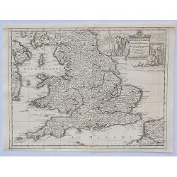
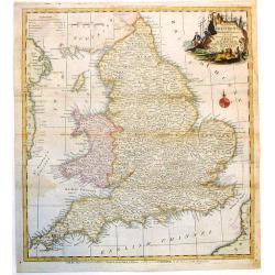
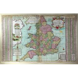
The South Part of Great Britain, Called, England and Wales. Containing All ye Cities, Market Towns, Boroughs: And whatever Places have ye Election of Members of Parliament
A large and finely detailed, copper engraved map featuring hundreds of villages, towns, mountains and much more. In the title, the "South Part" of Great Britain...
Place & Date: London, 1710
Selling price: $355
Sold in 2016
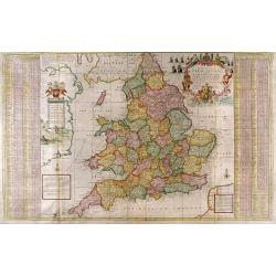
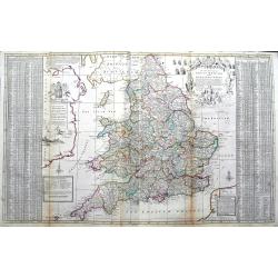
The South Part of Great Britain, called Engalnd and Wales.
Herman's Moll's magnificently detailed large scale map of England and Wales. Including a part of Ireland. Filled with cities, roads showing the distances between towns, r...
Place & Date: London, ca 1710
Selling price: $95
Sold in 2019
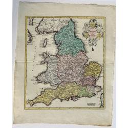
Anglia Cambdeni, excusa a Christopho Weigelio Norimbergae.
A copper engraved map, overall size 50 x 40 cm.This map shows England and Wales, with parts of Scotland. From Weigels' 'Schul und Reise atlas'. Elaborate cartouche with 5...
Place & Date: Nurnberg, ca. 1718
Selling price: $60
Sold in 2017
Les Royaumes D'Angleterre, D'Escosse Et D'Irlande..
Lovely small map of the British Isles with two side panels listing Scottish and English kings.From Le Nouveau et Curieux Atlas Geographique et Historique.. by Jacques Chi...
Place & Date: Paris 1719
Selling price: $100
Sold in 2008
Les Royaumes D'Angleterre, D'Escosse Et D'Irlande. . .
Lovely small map of the British Isles with two side panels listing Scottish and English kings.From Le Nouveau et Curieux Atlas Geographique et Historique.. by Jacques Chi...
Place & Date: Paris, 1719
Selling price: $70
Sold
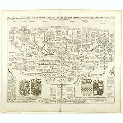
Carte Genealogique De La Maison De Stuart, Dans La Quelle L'On Fait Observer Son Origine, Ses Branches.
Fine example of Chatelain's attractive plate showing the genealogy of the House of Stuart, decorated with four coats-of-arms pertaining to military alliances. Zacharie Ch...
Place & Date: Amsterdam, 1719
Selling price: $45
Sold in 2021
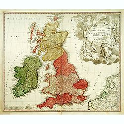
Magna Britannia?
A decorative of Britain and Ireland with great details. Includes part of France, Belgium and Holland. The large title cartouche is very decorative.
Place & Date: Nuremberg, 1720
Selling price: $200
Sold
Carte Pour l'Introduction a l'Histoire d'Angleterre, ou l'on Voit son Premier Gouvernement, et l'Etat Abrege de cette Monarchie sous les Empereurs Romains, et sous les Rois Saxons.
The sheet includes a large inset map of Roman Britain including the English Channel and the western coast of France (200 x 255mm.). It also provides a wealth of informati...
Place & Date: Amsterdam, 1720
Selling price: $150
Sold in 2009
Novissima prae caeteris aliis accuratissima Regnorum Angliae Angliae, Scotiae, Hiberniae . . .
The title of De Wit's map is within a banner supported by winged cherubs and cavorting mermaids. Armorial shields of England, Scotland and Ireland are placed in the left-...
Place & Date: Amsterdam, c.1720
Selling price: $350
Sold in 2009
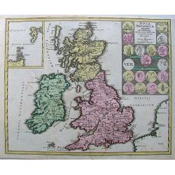
Insulae Britannicae Antiquae ex collatione.
Nice high decorative map with an inset of thule and seems to the Ornkney Isles. There are old coins displayed on the map. On the map are small spots and it has narrrow ma...
Place & Date: Nurnberg, 1720
Selling price: $70
Sold in 2013
Nouvelle carte pour introduire à la géographie et à la généalogie des rois d'Angleterre et d'Ecosse avec diverses remarques pour le secours de la chronologie et de l'Histoire.
Interesting sheet with a map of the family tree for the Royal Families of Great Britain, Scotland, and France, with descriptive French text, from Chatelain's monumental 7...
Place & Date: Amsterdam, 1720
Selling price: $75
Sold in 2015
Carte Pour l'Introduction a l'Histoire d'Angleterre, ou l'on Voit son Premier Gouvernement, et l'Etat Abrege de cette Monarchie sous les Empereurs Romains, et sous les Rois Saxons...
A large inset map of Roman Britain including the English Channel and the western coast of France. It also provides a wealth of information on the principal Roman towns ac...
Place & Date: Amsterdam, 1720
Selling price: $120
Sold in 2018
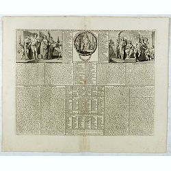
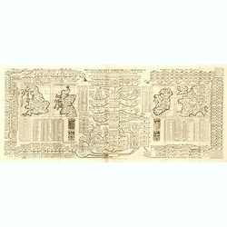
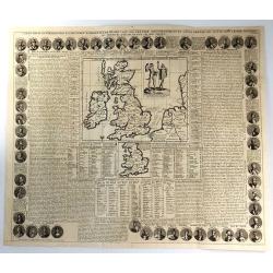
Nouvelle carte pour introduire à la géographie et à la généalogie des rois d'Angleterre et d'Ecosse. . .[and] Carte des Prerogatives des Rois et de la Noblesse d'Angleterre. . .[and] Representation du Parlement d'Angleterre. . .
Interesting sheet with a map of the family tree for the Royal Families of Great Britain, Scotland, and France, with descriptive French text, from Chatelain's monumental 7...
Place & Date: Amsterdam, 1720
Selling price: $70
Sold in 2017
Nouvelle carte pour introduire à la géographie et à la généalogie des rois d'Angleterre et d'Ecosse avec diverses remarques pour le secours de la chronologie et de l'Histoire.
Interesting sheet with a map of the family tree for the Royal Families of Great Britain, Scotland, and France, with descriptive French text, from Chatelain's monumental 7...
Place & Date: Amsterdam, 1720
Selling price: $65
Sold in 2017
Carte généalogique de la maison de Plantagenette et des ducs Normandie . . .
Genealogical chart of medieval English royal families, seven coats of arms of Edward the Confessor, Edward III, the Plantagenets, the Duke of Normandy and others.Henri Ab...
Place & Date: Amsterdam, 1720
Selling price: $30
Sold in 2022
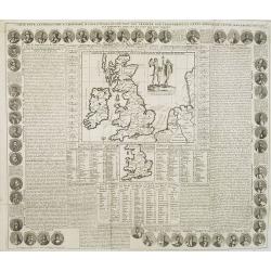
Cart Pour L'Introduction à L'Histoire D'Angleterre ..
Decorative and elaborate map of the British Isles, with portraits of the British Kings and Emperors from 801 (Egbert) to 1702 (Anne). The center map Includes two ancient ...
Place & Date: Amsterdam 1721
Selling price: $120
Sold
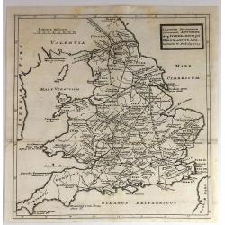
Ingratiam Itinerantium Curiosorum Antonini Aug. Itinerarium per Britanniam ...
A general map of Britain, featuring the Roman live and main cross-roads in England and Wales. Published in the “Itinerarium Curiosum” by William Stukeley, An original...
Place & Date: London, 1723
Selling price: $16
Sold in 2016
Angliae Scotiae et Hiberniae Regna..
Uncommon map of Great Britain and Ireland. The originally colored title cartouche is surrounded by mythological figures. From Atlas Portatif.
Place & Date: Nuremberg 1724
Selling price: $105
Sold
In Gratiam Itinerantium Curiosorum Antonini Aug. Itinerarium per Britanniam.
An informative map of Great Britain, showing roads, rivers, cities and towns. Place names given in both Latin and English.Published by Herman Moll in 1724 in “A New Des...
Place & Date: London, 1724
Selling price: $50
Sold in 2016
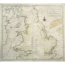
A Chart Describing part of the coast of Great-Britain, from the South Foreland to Berwick.
Very rare sea-chart of the coasts of England and Wales, including the Isle of Man, and the east coast of Ireland. With numerous place names and depth soundings. With two ...
Place & Date: London, 1728
Selling price: $300
Sold in 2016
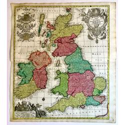
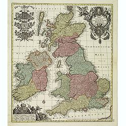
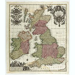
Regnorum Angliae, Scotiae Hiberniae.
A superb 18th century original hand colored map of Seutter's British Isles, with a portrait of George I and the Hanoverian coat-of-arms in the title cartouche. In the sca...
Place & Date: Augsburg, 1728
Selling price: $250
Sold in 2019
Les Iles Britanniques.
A striking map of the British Isles. It is from METHODE POUR ETUDIER L’HISTOIRE by L’Abbe Lenglet du Fresnoy, published in Paris in 1729. The map is quite rare. It wa...
Place & Date: Paris, 1729
Selling price: $25
Sold in 2021
L'Angleterre Suivant les Nouvelles Observations. . .
An attractive map of England and Wales, showing part of the French coast and a small part of Scotland and Ireland, it has a decorative cartouche with scenes of English tr...
Place & Date: Leiden, 1729
Selling price: $30
Sold in 2023
Regnum Angliae..
A detailed and decorative map of England, with an attractive uncolored title cartouche. Made after Visscher.
Place & Date: Nurnberg 1730
Selling price: $220
Sold
Accuratiffima Angliae Regni et Walliae Principatus Defcriptio Diftinete divifa in Omnes fuas Provincias et Edita.
A detailed map of Great Britain, Scotland and Wales by Frederick De Witt. Map includes islands off the coast of Britain and a small portion of the Northern Coast and the ...
Place & Date: Amsterdam, 1730
Selling price: $43
Sold in 2010
La plus grande partie de la Manche, qui contient les cotes d' Angleterre et celles de France...
Superb map of the English Channel, also showing England including Gloucester, Oxford, London and Colchester, with the Post Roads marked. With French coast including Calai...
Place & Date: Augsburg, 1730
Selling price: $113
Sold in 2012
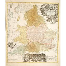
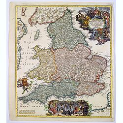
Magnae Britanniae..Regnum Angliae. . .
Johann Baptist Homann's well-engraved map of England and Wales has a large decorative cartouche at top right and a scrolled scene at bottom centre showing the King, (pres...
Place & Date: Nurnberg, 1730
Selling price: $220
Sold in 2017
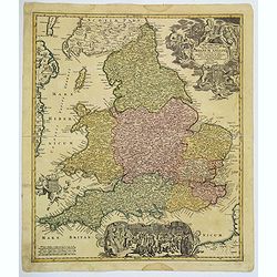
Magne Britanniae Pars Meridionalis in Qua Regnum Angliae...
A detailed map with a large decorative cartouche at the top right featuring a woman playing the harp, a shield with unicorns and a lion, and two putti. A large scene at t...
Place & Date: Nuremberg, 1730
Selling price: $125
Sold in 2017
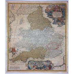
Magnae Britanniae. . . Regnum Angliae. . .
Johann Baptist Homann's well-engraved map of England and Wales has a large decorative cartouche at top right and a scrolled scene at bottom centre showing the King, (pres...
Place & Date: Nurnberg, 1730
Selling price: $75
Sold in 2020
Eyland Man in St. Georges Channell
This is a scarce cartographic work by the Van Keulen family that provides three charts detailing islands in the Irish Sea.The chart at top left depicts the Isle of Man wi...
Place & Date: Amsterdam, 1730
Selling price: $150
Sold in 2023
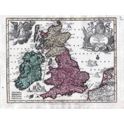
Tabula Novissima Accuratissima Regnorum Angliae, Scotiae, Hiberniae. . .
Decorative map of the British Isles, with 5 large coats of arms, portrait and two large decorative allegorical cartouches. The garlanded cartouche features a portrait of ...
Place & Date: Augsburg, ca.1733
Selling price: $300
Sold in 2013
Les Isles Britanniques Comprenant les Royaumes d'Angleterre, Ecosse, et D'Irlande... Dressé sur les Observations Nouvelles par Crepy Geographe.
Separate publication. "Crepy's map shows the British Isles, with a large insert panel of the Shetland and Faeroe Islands. The two elegant cartouches-one containing t...
Place & Date: Paris , ca. 1735
Selling price: $300
Sold in 2022
The South Part of Great Britain called England and Wales...
Full Title: The South Part of Great Britain called England and Wales. Containing all the Cities, Market Towns, Boroughs and whatever Places have the Election of Members o...
Place & Date: London, c. 1740
Selling price: $2050
Sold
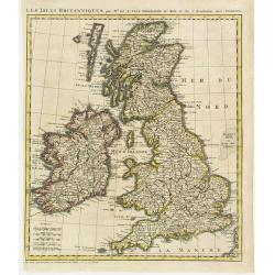
Les Isles Britanniques par Mr. De L'Isle. Geographe du Roy &c.
Uncommon map of the British Isles.
Place & Date: Paris, c.1740
Selling price: $75
Sold
Carte des prérogatives des rois et de la noblesse d' Angleterre...
Extracted from the historical atlas: introduction to the history, chronology, ancient and modern geography, genealogy of the royal houses of Europe with descriptive Frenc...
Place & Date: Amsterdam, 1740
Selling price: $15
Sold in 2020
Tabula Novissima Accuratissima Regnorum Angliae, Scotiae, Hiberniae. . .
Decorative map of the British Isles, with 5 large coats of arms, portrait and two large decorative allegorical cartouches. The garlanded cartouche features a portrait of ...
Place & Date: Augsburg, 1740
Selling price: $73
Sold in 2018
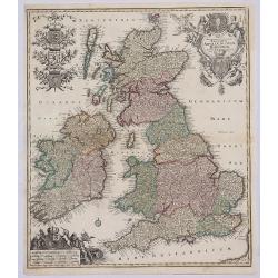
Tabula Accuratissima Regnorum Anglae Scotiae Hiberniae.
A beautiful colored example of Seutter's map of the British Isles, with 5 large coats of arms, portrait and two large decorative allegorical cartouches. One of the most d...
Place & Date: Augsberg, 1740
Selling price: $399
Sold in 2019
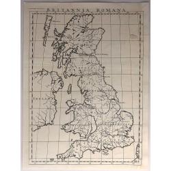
Britannia Romana.
Antique, minimalistic, copper engraved map, published in 1743 by John and Paul Knapton, London, for "The History of England" by Rapin de Thoyras.Translated by N...
Place & Date: London, 1743
Selling price: $25
Sold in 2017
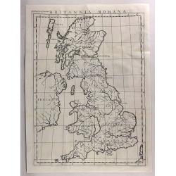
Britannia Romana.
An antique copper engraved map published in 1743 by John and Paul Knapton, London for "The History of England" by Rapin de Thoyras. Translated by Nicholas Tinda...
Place & Date: London, 1743
Selling price: $26
Sold in 2017
Nuova Carta dell' Isole Britanniche. . .
A rare map of the British Isles. It extends from southwestern Norway and the western coast of the Low Countries and northwestern France.
Place & Date: Naples, 1743
Selling price: $180
Sold in 2019
Les Isles Britanniques ou les Royaumes d'Angleterre, d'Écosse et d'Irlande. Divisées par Provinces..
Map of the British Isles with inset maps of the Channel Islands and the Faroe, Orkney and Shetland Islands.Embellished with fighting vessels and an ornamental title carto...
Place & Date: Paris 1744
Selling price: $140
Sold
Accuratissima Angliae, Scotiae et Hiberniae tab., …
An elegant map of the British Isles. From: Atlas Minor Praecipua Orbis Terrarum Imperia, Regna et Provincias, Germania, … The maps were drawn by Georg Matheus Seutt...
Place & Date: Augsburg, circa 1744
Selling price: $120
Sold in 2023
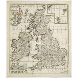
Les Isles Britanniques ou sont le Royaumes d'Angleterre.. d'Ecosse.. d'Irlande..
Beautifully engraved, decorative map of the British Isles. Detailed to show towns, roads, rivers, lakes, counties, etc. Embellished with a decorative distance scale and a...
Place & Date: Amsterdam c. 1745
Selling price: $335
Sold
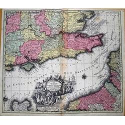
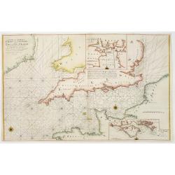
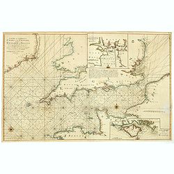
A new and correct chart of the channel between England & France..
The chart includes the South Coast of England from North of the Bristol Channel and of the Thames Estuary, there are insets for Plymouth Sound and the Isle of Wight.
Place & Date: London 1745
Selling price: $300
Sold
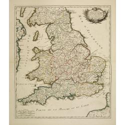
Le royaume d'Angleterre divisé en Comte et Baronies. . .
Fine map of England and Wales. As well as country details, including the main post roads. Le Rouge was active from 1740- till 1780 as a publisher, and was appointed engin...
Place & Date: Paris, 1745
Selling price: $65
Sold in 2011
Les Isles Britanniques
A fine example of De L'Isle's map of the British Isles. It was redone by Philippe Buache and published in 1745.Includes a splendid, large, ornate decorative title cartouc...
Place & Date: Paris, 1745
Selling price: $230
Sold in 2017
A Chart of the Sea Coast of Great Britain and Ireland.
A scarce and attractive sea chart of the British Islands. With many place names along the coats. With a compass rose and rhumb lines.
Place & Date: London, ca. 1745
Selling price: $86
Sold in 2017
A new and correct chart of the channel between England & France..
The chart includes the South Coast of England from North of the Bristol Channel and of the Thames Estuary, there are insets for Plymouth Sound and the Isle of Wight.
Place & Date: London, 1745
Selling price: $230
Sold in 2018
Nieuwe kaart van 'T zuider Gedeelte van Groot Brittannie. . .
Isaac Tirion was born in Utrecht ca. 1705. He came to Amsterdam ca. 1725. Tirion published a number of important books, many of which are still in demand for their intere...
Place & Date: Amsterdam, 1747
Selling price: $50
Sold in 2023
Carte des Isles Britanniques.
Nice small map of the British Isles, dated 1748. From Atlas Portatif Universel, by Robert de Vaugondy.Page 4 outside border top left.
Place & Date: Paris, ca. 1748
Selling price: $45
Sold
Regnorum Magnae Britanniae et Hiberniae ...
A General Map of Great Britain and Ireland with Part of Holland, Flanders and France.
Place & Date: Nuremberg, 1749
Selling price: $200
Sold in 2011
Regnorum Magnae Britanniae et Hiberniae.
Issued over a long period by the heirs of Johann Baptist Homann. This handsome map of the British Isles includes very good detail of Ireland, England, Scotland, Wales, an...
Place & Date: Nuremberg, 1749
Selling price: $300
Sold in 2013
A New and Correct Chart of the Sea Coast of ENGLAND SCOTLAND & IRELAND Sold by George Grierson at the Two Bibles & Kings Arms in Essex Street Dublin
Scarce chart of England, Scotland and Ireland, engraved by James Barlow and published by George Gierson in Dublin. It is copied from Samuel Thornton's chart, 1708, for an...
Place & Date: Dublin, 1749
Selling price: $925
Sold in 2012
Les Isles Britanniques par Mr. De L'Isle. Geographe du Roy &c.
Uncommon map of the British Isles, after de L'Isle. In lower left bottom : cette carte doit etre placée au commencement des Tomes 2.3.4. & suivans.
Place & Date: Paris ca 1750
Selling price: $75
Sold
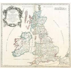
Britannicae, Insulae in quibus Albion sen Britannia Major, ...
British Isles by de Vaugondy.
Place & Date: Paris, 1750
Selling price: $60
Sold in 2009
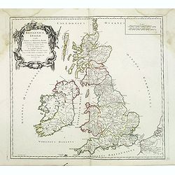
Britannicae, Insulae in quibus Albion sen Britannia Major, . . .
British Isles from his "Atlas Universel".Gilles Robert de Vaugondy (1688–1766), also known as Le Sieur or Monsieur Robert, and his son, Didier Robert de Vaugo...
Place & Date: Paris, 1750
Selling price: $30
Sold in 2016
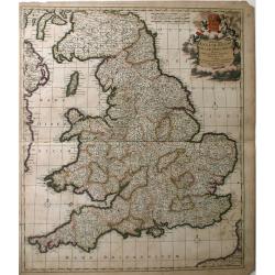
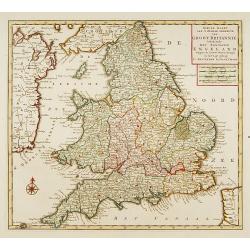
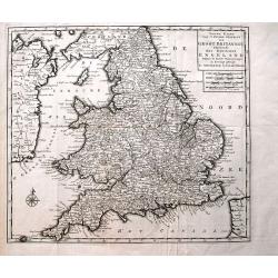
Nieuwe Kaart van 't Zuider Gedeelte van Groot Britannie behelzende Het Koningryk Engeland...
Detailed map of England and Wales, including parts of Ireland. Shows the Picts Wall (Hadrian's Wall)! With a wealth of place names, rivers, roads, areas, etc.
Place & Date: Amsterdam, c1750
Selling price: $40
Sold in 2013
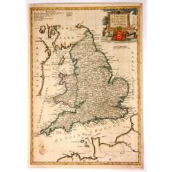
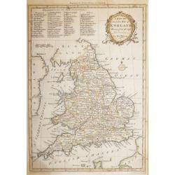
A New and Accurate Map of England.
Fine, very detailed map of England and Wales by Thomas Bowen in about 1750. It has a decorative cartouche with a cannon, a lion, a bust, a globe, and a three-lioned shiel...
Place & Date: London, ca. 1750
Selling price: $50
Sold in 2017
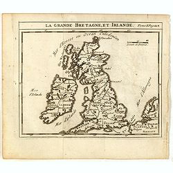
La Grande Bretagne, et Irlande.
Scarce small map of Great Britain of based on cartography of Guillaume Delisle (. Published in "Nouveau traité de geographie par M**** ", published by La veuve...
Place & Date: Paris, 1752
Selling price: $35
Sold in 2015
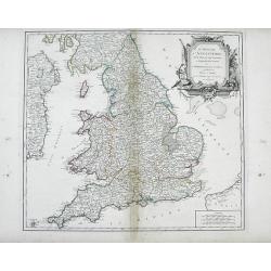
Le Royaume d'Angleterre, divise felon les sept Royaumes, ou Heptarchie des Saxons, avec La Principaute de Galles, et subdivise et Shires ou Comtes
Finely detailed, large scale map of England by Robert de Vaugondy. A large decorative title cartouche is at the top right corner.Gilles Robert de Vaugondy (1688-1766), al...
Place & Date: Paris, 1753
Selling price: $65
Sold in 2010
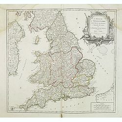
Le Royaume D'Angleterre, divise selon les sept Royaumes ou Heptrachie des Saxons, avec La Principaute De Galles, et subdivisie en Shires ou Comtes...
Decorative map of British Isles with Rococo title cartouche, engraved by E.Haussard.
Place & Date: Paris, 1753
Selling price: $25
Sold in 2014
Les Isles Britanniques ...
Decorative map of British Isles with Rococo title cartouche and inset map with Shetland Islands.
Place & Date: Paris, 1754
Selling price: $120
Sold in 2011
Les Isles Britanniques. . .
Decorative map of British Isles with Rococo title cartouche and inset map with Shetland Islands.
Place & Date: Paris, 1754
Selling price: $35
Sold in 2015
Les Isles du Britanniques.
Fine map of the British Isles with a fine cartouche depicting vessels approaching the harbour.George Louis Le Rouge was active from 1740- till 1780 as a publisher, and wa...
Place & Date: Paris 1756
Selling price: $30
Sold
Carte des grandes routes d'Angleterre, d'Ecosse.. Irlande.
Decorative map of British Isles with Rococo title cartouche. Engraved by Delahaye.
Place & Date: Paris, 1757
Selling price: $330
Sold in 2009
Carte des grandes routes d'Angleterre, d'Ecosse et d'Irlande.
Decorative map of British Isles with Rococo title cartouche. Engraved map by Delahaye. Relief shown pictorially.
Place & Date: Paris, 1757
Selling price: $18
Sold in 2015
A New and Accurate Map of that District of Great Britain called England & Wales.
A very detailed map of Great Britain by Thomas Kitchin, from Walpoole's New & Complete British Traveller, published in 1784.Thomas Kitchin was among the most producti...
Place & Date: London, 1757
Selling price: $45
Sold in 2015
Carte des Grandes Routes d'Angleterre, d'Ecosse, et d'Irlande.
This is a delightful 1757 map of the British Isles by Robert de Vaugondy. The map extent is all of England, Wales, Scotland and Ireland, and it notes several important ro...
Place & Date: London, 1757
Selling price: $55
Sold in 2021
A new and Accurate Map of ENGLAND Drawn from the best Authorities by Thomas Bowen.
A detailed map of England and Wales engraved for Cowley’s History of England 1760 edition. The title is in a very ornate cartouche a list of references to the Counties ...
Place & Date: London 1760
Selling price: $90
Sold in 2016
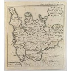
Carta Dell' Inghilterra nel Tempo della Decandenz a de Romani.
A detailed, fine and unusual ca 1760 Charles Rollin copper engraved historical map of England & Wales at the time of the Roman Domination. The map provides good topog...
Place & Date: Paris, 1760
Selling price: $105
Sold in 2019
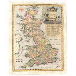
An Accurate Map of Great Britain from the latest & best Observations.
Striking and highly detailed s copper engraved map of the United Kingdom. The map shows cities, towns, rivers, roads, lakes, islands and regional divisions. A large deco...
Place & Date: London, 1761
Selling price: $110
Sold in 2018
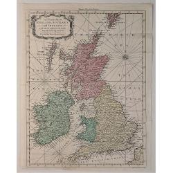
An Accurate Map of England, Scotland and Ireland. . .
A fine hand-colored map of England, Scotland & Ireland by Seale, it was published in the “UNIVERSAL MAGAZINE” BY Hinton. colored by region, it features a decorati...
Place & Date: London, 1761
Selling price: $119
Sold in 2020
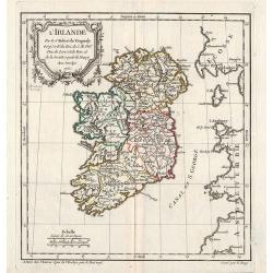
L\'Irlande.
General map of Ireland. From Gilles Robert de Vaugondy's Nouvel Atlas Portatif.
Place & Date: Paris, 1762
Selling price: $80
Sold in 2012


![Nouvelle carte pour introduire à la géographie et à la généalogie des rois d'Angleterre et d'Ecosse. . .[and] Carte des Prerogatives des Rois et de la Noblesse d'Angleterre. . .[and] Representation du Parlement d'Angleterre. . .](/uploads/cache/39121-250x250.jpg)
