Browse Listings in Europe > British Isles > General
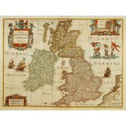
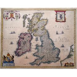
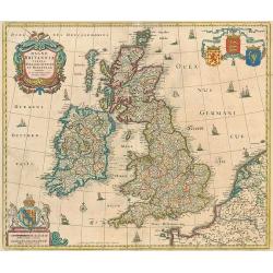
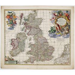
Magnae Britanniae et Hiberniae Tabula.
A finely engraved map from the most important Dutch map publishers of the 17th century. The plate was acquired by the Blaeu's from Jodocus Hondius Jr. in 1629, and was re...
Place & Date: Amsterdam, 1635
Selling price: $315
Sold in 2017
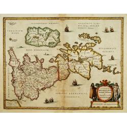
Insularum Britannicarum Acurata Delineatio ex Geographicis Conatibus Abraham Ortelii by Jan Jansson 1636 First state
Attractive original Scarce first state of Jansson's map of the Ancient British Isles. Includes decorative cartouche, sea monsters and 7 sailing vessels. Engraved by Peter...
Place & Date: Amsterdam, 1636
Selling price: $600
Sold in 2011
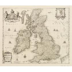
Magnae Britanniae et Hiberniae Tabulae
A handsome map of Britain and Ireland, published by M. Merian in Frankfurt in 1636.Merian based this map on Blaeu's influential earlier work and he added a Stuart coat of...
Place & Date: Frankfurt, 1636
Selling price: $150
Sold in 2023
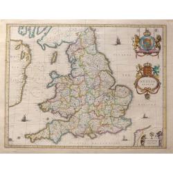
Anglia Regnum.
A striking map of Great Britain with two finely-engraved coats of arms (Great Britain and Ireland).
Place & Date: Amsterdam, ca. 1640
Selling price: $255
Sold in 2010
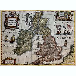
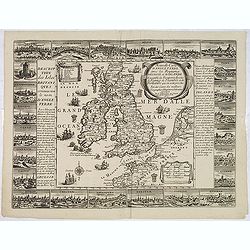
Magnae Britanniae et Hiberniae Tabula.
First issued in 1630 with vignette borders depicting costumes and towns; however, that state only appeared that year after which the borders were cropped from the plate, ...
Place & Date: Amsterdam, [1631] - 1640
Selling price: $400
Sold in 2012
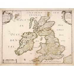
Carte Generale des Royaume d'Angleterre Ecosse et Irlande...
A striking first edition copperplate map of the British Isles by Sanson, on his own slightly eccentric projection. Engraved by Melchior Tavernier in Paris in 1640. Featur...
Place & Date: Paris, 1640
Selling price: $376
Sold in 2017
Insularum Britannicarum acurata delineatio. . .
A map of the Roman Britain as seen during the third and fourth centuries. Roman place names as well as Hadrian's Wall and the Wall of Pius appear on the map, identifying ...
Place & Date: Amsterdam, 1642
Selling price: $250
Sold in 2022
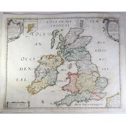
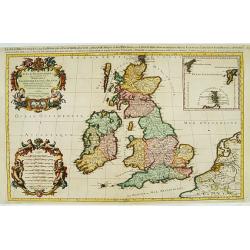
Carte Generale des Royaume d'Angleterre Escosse et Irlande Avecq les Isles circonvoisines Conues toutes soubs le nom de Britanniques / Nouvellement dressee et tiree de Cambdene Spede & autres Par N. Sanson geogr.e Ord.re du Roy.
Fine example of Nicolas Sanson's first map of the British Isles, engraved by Melchior Tavernier. A small inset map shows the Shetland Isles. The distortion of Ireland and...
Place & Date: Paris, 1642
Selling price: $150
Sold in 2018
Eboracum, Lincolnia, Derbia, Staffordia, Notinghamia...
An elegant map of northeast England by Henricus Hondius, published out of Amsterdam during the golden age of Dutch map making in 1642. The map presents the English count...
Place & Date: Amsterdam, 1642
Selling price: $75
Sold in 2023
Insularum Britannicarum acurata delineatio..
A map of the Roman Britain as seen during the third and fourth centuries. Roman place names as well as Hadrian's Wall and the Wall of Pius appear on the map, identifying ...
Place & Date: Amsterdam 1639-1644
Selling price: $240
Sold
Magnae Britanniae et Hiberniae Tabula.
A finely engraved map from the most important Dutch map publishers of the 17th century.
Place & Date: Amsterdam 1639-1644
Selling price: $510
Sold
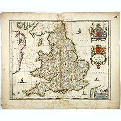
Anglia Regnum.
Janssonius' map of England and Wales was one of the new maps prepared by him in 1636. His map closely copies the similar map issued two years earlier by Willem Blaeu.. Th...
Place & Date: Amsterdam 1639-1644
Selling price: $320
Sold
Anglia Regnum.
Janssonius' map of England and Wales was one of the new maps prepared by him in 1636. His map closely copies the similar map issued two years earlier by Willem Blaeu.The ...
Place & Date: Amsterdam, 1639-1644
Selling price: $100
Sold in 2012
Magnae Britanniae et Hiberniae Tabula.
A splendid finely engraved map of England from the most important Dutch map publishers of the 17th century, the Hondius dynasty.
Place & Date: Amsterdam, 1639-1644
Selling price: $600
Sold in 2017
Anglia Regnum.
Willem Blaeu was the first to bring out a new map of England and Wales. The outline and place names are taken from Speed with county boundaries marked but no border figur...
Place & Date: Amsterdam, 1645
Selling price: $655
Sold in 2016
Anglia Regnum.
Willem Blaeu was the first publisher to bring out a new map of England and Wales. The outline and place names are taken from Speed with county boundaries marked but no bo...
Place & Date: Amsterdam, 1645
Selling price: $200
Sold in 2017
Magnae Britanniae et Hiberniae Tabula.
Map of Great Britain comprising England, Scotland, and Wales. Small inset map of the Orkneys, galleons, a compass rose, cartouches and sea-monster. French text on verso. ...
Place & Date: Amsterdam, 1645
Selling price: $300
Sold in 2017
BRITTANNIA prout divisa fuit temporibus Anglo-Saxonum, ...
Decorative "carte à figures" map by Blaeu of the United Kingdom.
Place & Date: Amsterdam, 1646
Selling price: $2200
Sold in 2009
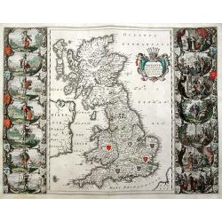
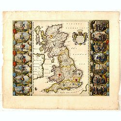
Britannia prout divisa fuit temporibus Anglo-Saxonum, presertim durante illorum Heptarchia.
An important and sought-after double-page map, decorated with the shields of the Saxon kingdoms, and 14 superb scenes of Anglo-Saxon history in full color. Finely engrave...
Place & Date: Amsterdam, ca. 1646
Selling price: $925
Sold in 2019
Anglia Scotia et Hibernia.
Detailed miniature map of the British Isles, from a German text edition of his Atlas Minor. Engraved by Petrus Kaerius.
Place & Date: Amsterdam (1628) 1648
Selling price: $140
Sold
Anglia.
Detailed miniature map of England, from a German text edition of his Atlas Minor. Engraved by Petrus Kaerius.
Place & Date: Amsterdam (1628) 1648
Selling price: $60
Sold
Britannia Prout Divisa Suit Temporibus Anglo-Saxonum.
An impressive and decorative historical map of the British Isles with the seven Anglo-Saxon kingdoms, Northumbria, Mercia, East Anglia, Essex, Kent, Sussex and Wessex. Ea...
Place & Date: Amsterdam, 1648
Selling price: $1400
Sold in 2014
Britannia prout divisa suit temporibus Anglo-Saxonum, præsertim durante illorum Heptarchia.
A fine copy of this famous and decorative map, depicting the ancient kingdoms of Britain, with two side panels. The left-hand border depicts the founders of each of the s...
Place & Date: Amsterdam, 1650
Selling price: $2750
Sold in 2009
Insularum Britannicarum Acurata Delineatio ex Geographicis Conatibus Abraham Ortelii.
This is Jansson's historical map of the British Isles giving credit to Abraham Ortelius in the title. Engraved by Peter van den Keere. North is oriented to the right. H...
Place & Date: Amsterdam, c1650
Selling price: $200
Sold in 2013
Novissima descriptio Angliae Scotiae et Hiberniae.
Uncommon map of Great Britain and Ireland.
Place & Date: Paris, c. 1650
Selling price: $250
Sold in 2015
Britannia prout divisa suit temporibus Anglo-Saxonum, praesertim durante illorum Heptarchia.
A very decorative map of England, Scotland and Wales. Wales and Scotland have their own kingdoms, however, England is divided up into seven separate Saxon kingdoms.Northu...
Place & Date: Amsterdam, ca 1650
Selling price: $700
Sold in 2018
Anciens Royaumes de Kent, d'Essex, et de Sussex: ou sont Aujourdhuy les Comtés de Kent, d'Essex, Middlessex, et Hartford de Sussex, et Surrey. Avecq le Pas de Calais, et Partie des Cotes du Pays Bas, de Picardie, et Normandie.
Interesting map of the Strait of Dover / Pas de Calais. Shows the French coast from Fecamp, Dieppe, Boulogne, Calais; the Belgian Coast with Oostende, and the Dutch Coast...
Place & Date: Paris, 1654
Selling price: $110
Sold in 2012
Insulae Albion et Hibernia cum minoribus adjacentibus.
This map of the British Isles during ancient times is based on the cartography of Mercator’s Ptolemaic presentation of the British Isles and Ireland, The map delineates...
Place & Date: Amsterdam, 1654
Selling price: $215
Sold in 2014
Insulae Albion et Hibernia Cum Minoribus Adjacentibus.
This map of the British Isles during ancient times is based on the cartography of Mercator. The map delineates and names ancient regions via hand coloring and engraved li...
Place & Date: Amsterdam, 1654
Selling price: $231
Sold in 2016
Novissima descriptio Angliae Scotiae et Hiberniae.
A striking and highly detailed copper engraved map of British Islands, including United Kingdom, Ireland and portions of Netherlands. The map gives several details concer...
Place & Date: Paris, 1655
Selling price: $350
Sold in 2018
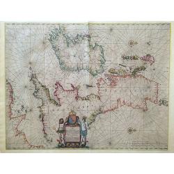
Pascaarte vant Canaal door Arnold Colom t Amsterdam op het Watter by de Nieuwe brugh inde Lichtende Colom.
This large folio, extremely decorative sea chart offered here is one of the earliest and rarest sea charts depicting the British Isles. It appeared in the famous Colom's...
Place & Date: Amsterdam, 1656
Selling price: $2990
Sold in 2022
Carte generale des Royaume d'Angleterre Escosse et Irlande..
Fine map of the British Isles, in a second state. The map was first published by Tavernier and later by Mariette. This edition carries the date 1640, and address of Pierr...
Place & Date: Paris, 1640-1657
Selling price: $355
Sold in 2011
Magnae Britanniae et Hiberniae nova descriptio.
Map shows England, Scotland and Ireland, Shetland islands on separate insert in upper right corner. Belgium coastal area in right bottom. Large uncolored cartouche on top...
Place & Date: Frankfurt, c.1658
Selling price: $450
Sold in 2017
Carte Generale Des Royaume d'Angleterre, Ecosse et Irelande.
A fine example of Sanson's first map of the British Isles. The distortion of lreland and the condensed size of Scotland was caused by the projection used by Sanson. This ...
Place & Date: Paris, 1658
Selling price: $110
Sold in 2018
Pascaart vant Canaal, Tusschen Engelant en Vrancryck, alsmede ge heel Ierlant en Schotlant.
HEIGHTENED WITH GOLD LEAF. A beautifully colored chart of the coastal waters around the British Isles, northern France, and Ireland. With north oriented to the right, dec...
Place & Date: Amsterdam, 1660
Selling price: $800
Sold in 2016
Nieuwe en Perfeckte Caerte van Engelandt Schotlandt en Yerlandt. . .
A fine and decorative map of the British Isles. Embellished with sailing ships, coats of arms, and an inset map of the Orkney Islands.Hugo Allard (1625-1691) was a capabl...
Place & Date: Amsterdam, ca 1660
Selling price: $200
Sold in 2019
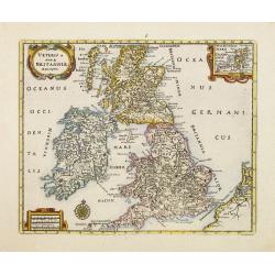
Veteris et Novae Britanniae Descriptio.
Rare map of the British Isles, with an inset map of the Orkney Islands in the upper right corner. Ornated with title cartouche, scale cartouche and compass rose.From a bo...
Place & Date: Wolfenbüttel 1661
Selling price: $105
Sold
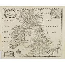
Veteris et nova Britannia descriptio.
Interesting map of the British islands from a German edition of Philipp Clüver's famous Introductionis in Universam geographicam, first published in Leiden in 1624. Phil...
Place & Date: Wolfenbüttel, 1661
Selling price: $50
Sold in 2008
Britannia prout divisa suit temporibus Anglo-Saxonum, præsertim durante illorum Heptarchia.
Blaeu's decorative map shows the British Isles at the time of the Anglo-Saxon Heptarchy; the seven ancient kingdoms of Kent, the South Saxons, West Saxons, East Saxons, N...
Place & Date: Amsterdam, 1645-1662
Selling price: $400
Sold in 2015
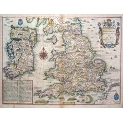
The Invasions of England and Ireland.
The Invasions of England and Ireland with all their Civill Wars since the Conquest.A finely engraved hand colored map with an attractive title cartouche that is surmounte...
Place & Date: London, c 1666
Selling price: $1900
Sold in 2014
Isles Britaniques. . .
Map of Great Britain prepared by N.Sanson and published by Pierre Mariette.Published in an early edition of the small Sanson atlas L'Europe Dediée a Monseigneur . . . Le...
Place & Date: Paris, P. Mariette, 1667
Selling price: $75
Sold in 2013
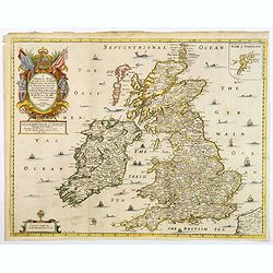
A Generall Mapp of the Isles of Great Britaine. . .
A copperplate border colored map of the British isles with an inset of 'Isles of Schetland', featuring a very decorative cartouche and scale. The earliest folio sized map...
Place & Date: Lonon, 1669
Selling price: $120
Sold in 2018
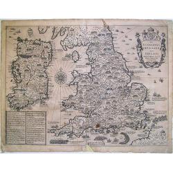
The Invasions of England and Ireland ...
A finely engraved map with an attractive title cartouche that is surmounted by royal arms, a compass rose and rhumb lines. The content of this map features the invasions ...
Place & Date: London, 1676
Selling price: $900
Sold in 2009
Magna Britanniae, tabula, angliam, scotiam, et hiberniam continens.
Decorative Visscher map of the British Isles
Place & Date: Amsterdam, c.1679
Selling price: $350
Sold in 2010
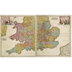
Lancaster Occidentalior Regni Angliae Districtus..., together with Orientalior Districtus Regni Angliae?
Decorative map of England and Wales on two sheets, ornamental title cartouche incorporating classical figures.
Place & Date: Amsterdam 1680
Selling price: $325
Sold
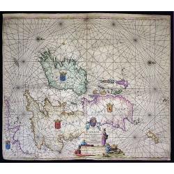
Pascaart vande Canaal, Engeland, Schotland, en Yrland.
A large nautical map of the complete British Isles, beautifully decorated with an elaborate title cartouche, coats of arms and compass roses. Lacking van Keulen’s privi...
Place & Date: Amsterdam, before 1680
Selling price: $475
Sold in 2019
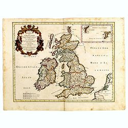
[Lot of 11 maps / prints of the United Kingdom.]
An attractive map of the United Kingdom, with an inset map depicting the Orcades and Shetland islands. Embellished with two cartouches.[lot of 11 maps / prints]
Place & Date: Amsterdam, c. 1680
Selling price: $325
Sold in 2022
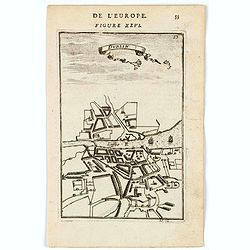
Dublin.
A charming plan of Dublin with its river and the environs.Title in curtain draped at top. French text on verso.From the original 1683 text edition of "Description d'...
Place & Date: Paris, 1683
Selling price: $50
Sold in 2020
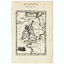
Isles Britanniques.
A charming map of British Isles. Ships in the seas. Title in curtain draped at top. French text on verso.From the original 1683 text edition of "Description d'Univer...
Place & Date: Paris, 1683
Selling price: $50
Sold in 2020
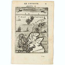
Is. De Fero de Scheland. Orknay et Hebrides.
A charming miniature map of the Faroe Islands, and the Shetland, Orkney, and Hebrides.Title in curtain draped at top. French text on verso.From the original 1683 text edi...
Place & Date: Paris, 1683
Selling price: $30
Sold in 2020
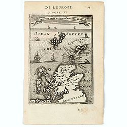
Is. De Fero de Scheland. Orknay et Hebrides.
A charming miniature map of the Faroe Islands, and the Shetland, Orkney, and Hebrides.Title in curtain draped at top. French text on verso.From the original 1683 text edi...
Place & Date: Paris, 1683
Selling price: $30
Sold in 2020
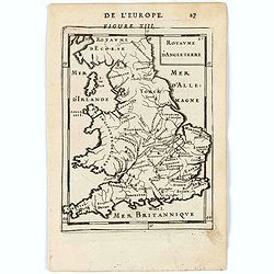
Royaume d'Angleterre.
A charming miniature map of England, Wales and Southern Scotland. Title in curtain draped at top. French text on verso.From the original 1683 text edition of "Descri...
Place & Date: Paris, 1683
Selling price: $30
Sold in 2020
Novissima et Accuratissima Totius Angliae Scotiae et Hiberniae. . .
This is a rare Danckerts edition, of a large decorative map of the British Isles that is filled with excellent detail on towns and counties. It is funrnished with a strik...
Place & Date: Amsterdam ca 1685
Selling price: $400
Sold in 2019
The Scenography of a Town & Castle
A very detailed copper engraved city plan published in "The Gentleman's Recreation" in 1686. It shows "the outworks and the manner of carrying on a siege&q...
Place & Date: London - 1686
Selling price: $50
Sold in 2013
The Travellers Guide being the best Mapp of the Kingdom of England and Principality of Wales. (England & Wales wall map sections).
Fith state of Philip Lea's version of Christopher Saxton's large scale map of England and Wales first published in 1583; this state published Philip Lea, Globe maker at y...
Place & Date: England, 1583 / ca. 1687
Selling price: $1300
Sold in 2020
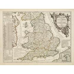
[British Isles ]
Charming wood block map of British Isles by the Italian XVIth and XVIIth century writer, humanist and cartographer Giuseppe Rosaccio. Taken from the 1688 Bologna "Te...
Place & Date: Bologna, Antonio Pisarri, 1594 - 1688
Selling price: $215
Sold in 2011
Carte des Isles Britanniques ou sont les Royaumes d'Angleterre, et d'Ecosse. . .
A map of England, with a revised date 1688 and published by the widow or daughters of Pierre Du Val (1619-83). The map shows the main towns and has a florid rococo cartou...
Place & Date: Paris, 1665-1688
Selling price: $675
Sold in 2011
L'Isole Britanniche ouero l'Inghilterra...
Fine map engraved by Giorgio Wittman. Giacomo Rossi's fine late 17th century map of British Islands. Issued in Il Mercurio geografico In upper left hand corner large titl...
Place & Date: Rome, 1677-1688
Selling price: $175
Sold in 2015
L'Angleterre et L'Ecosse suivant des dernieres relations..
Rare miniature map of England and Scotland by N. de Fer.
Place & Date: Paris 1689
Selling price: $130
Sold
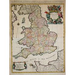
Le Royaume d'Angleterre Divise en plusieurs Parties..
Uncommon map of England. This large one-sheet map of England and Wales was produced by the Venetian cosmographer Vincenzo Coronelli when he was working in Paris in the 16...
Place & Date: Paris, 1689
Selling price: $500
Sold in 2016
Le Royaume d'Angleterre.
An attractive map centered on England, Wales and southern part of Scotland.
Place & Date: Paris, 1689
Selling price: $300
Sold in 2008
Parte Meridionale del Regno D'Inghilterra, Descritto, e Dedicato Dal P. Cosmografo Coronelli, All Illstrissimo, et Eccellentissimo Signor Caualiere Angelo Morosini, Procuratore de S. Marco, etc.
Attractive map of the Southern portion of England, extending North To 53 degrees. Shows counties, towns, roads, rivers and Islands, etc. Accompanying Italian text on vers...
Place & Date: Venice, 1689
Selling price: $550
Sold in 2010
Novissima et Accuratissima Totius Angliae Scotiae..
Rare issue of Justus Danckert's attractive map of Great-Britain. With the imprint of Justus in place of Theo in the title. The plate is also been retouched in several pla...
Place & Date: Amsterdam, 1690
Selling price: $600
Sold in 2013
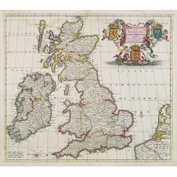
Novissima et Accuratissima Totius Angliae, Scotiae et Hiberniae Tabula.
An extremely decorative, uncommon map of the British Isles, with a superb title cartouche featuring putti holding up the arms of England, Scotland and Ireland, in full co...
Place & Date: Amsterdam, ca 1690
Selling price: $350
Sold in 2014
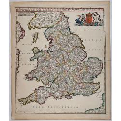
Anglia Regnum In Omnes Suos Ducatus, Comitatus, et Provincias Divisum.
Decorative map of England and Wales showing immense detail of the cities and towns, colored by counties. Very decorative cartouche with mermaids holding up the arms of En...
Place & Date: 1690
Selling price: $350
Sold in 2018
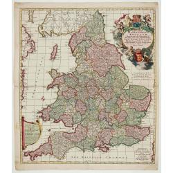
A New Mapp of the Kingdome of England.
Very decorative map of England and Wales by Nicolaes Visscher II, comes from the atlas “Atlas Minor, sive geographia compendiosa qua orbis terrarum. . . ”.
Place & Date: Amsterdam, c. 1690
Selling price: $400
Sold in 2022
Magnae Britanniae Tabula; Comprehendens Angliae, Scotiae ac Hiberniae Regna
Very decorative map of Great Britain by Nicolaes Visscher II, dedicated to William III, King of England, Scotland and Ireland.Map comes from the atlas “Atlas Minor, siv...
Place & Date: Amsterdam, c. 1690
Selling price: $475
Sold in 2023
Nouvelle carte d'Angleterre avec les royaumes d'Ecosse et d'Irlande . . .
Decorative and very rare "carte ?? figures"- map of the British Isles by Fran?ois Jollain (ca. 1641 – 18 April 1704). In the center of the map the British Isl...
Place & Date: Paris, 1691
Selling price: $7100
Sold in 2013
Les Isles Britanniques qui contiennents les- Royaumes, d' Angleterre, Escosse, et Irlande.
Large scale map of England, Scotland and Ireland. To the left inset map of Shetland Islands, Orcades and Orkney.Prepared by Sanson and published by Jaillot.Very large and...
Place & Date: Paris 1692
Selling price: $250
Sold
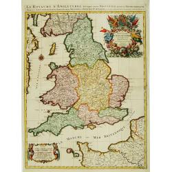
Le Royaume d'Angleterre distingué en ses provinces.
Fine map of England and Wales that is fully and richly engraved. Large and extremely decorative cartouche with angels, flags, seal of England, etc. Six distance scales wi...
Place & Date: Paris 1693
Selling price: $280
Sold
Le Royaume D' Angleterre distingué en ses Provinces.
Alexis-Hubert Jaillot (1632-1712), French cartographer. he joined the Sanson heirs. He redrew Nicolas Sanson's maps on a larger scale. 'Atlas Nouveau' (1674), sea-atlas '...
Place & Date: Amsterdam, 1693
Selling price: $575
Sold in 2010
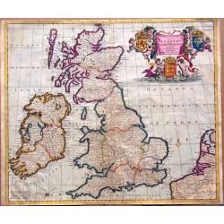
Magnae Britaniae Tabula; Comprehendens Angliae, Scotiae, Ac Hiberniae Regna . . .
Rare Dutch map of the British Isles in very attractive full original color. In this state the wording "Scilly Isles" is added. A decorative title cartouche in t...
Place & Date: Amsterdam, after 1694
Selling price: $400
Sold in 2023
Les Isles Britanniques ou sont le R.me d'Angleterre.. d'Ecosse.. d'Irlande.
RARE, according Shirley a fourth state with erased date but still with Jaillot's name in the dedication followed by his title as royal geographer. With address "Ché...
Place & Date: Paris, after 1695
Selling price: $375
Sold in 2011
England by Robert Morden
The ornate title cartouche is inscribed with ‘England by Rob Morden’. A decorative map of England and Wales with part of Ireland and Scotland in outline, published ...
Place & Date: London, 1695
Selling price: $150
Sold in 2014
A New Mapp of the Kingdome of England, Representing the Princedome of Wales, and other Provinces, Cities, Market Towns, with the Roads from Town to Town.
A very rare map of England, originally made by Nicolaes Visscher in 1695 and also sold by John Overton.The map focuses on the distances between cities and market towns (l...
Place & Date: Amsterdam, 1695
Selling price: $475
Sold in 2018
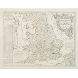
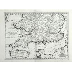
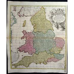
[2 sheets] Parte settentrionale del regno d'inghilterra.. [with] Parte Meridionale der regno . . .
Matching set of 2 attractive large folio maps depicting the northern and southern parts of England. Including four large cartouches and table of counties, towns, etc. Sho...
Place & Date: Venice, 1696
Selling price: $475
Sold in 2015
Pascaart vant Canaal Begrypende in sich Engelandt, Schotlandt, en jerlandt, als mede een gedeelt van Francryck.
Map of the English channel, oriented with east at the top and including part of France and the British isles.The beautiful title cartouche with Neptune, a river goddess a...
Place & Date: Amsterdam, 1697
Selling price: $600
Sold in 2021
Isles Britanniques.
A map of the British Isles from Description de tous l'Univers published by François Halma.
Place & Date: Amsterdam, 1700
Selling price: $70
Sold in 2011
La Britannique dans sa Heptarchie ...
A map of the England from Description de tous l'Univers published by François Halma.
Place & Date: Amsterdam, 1700
Selling price: $40
Sold in 2011
Les Isles Britanniques. . .
J.B. Nolin's map of the British Isles, based on the work of Coronelli. Map features an inset of the Orkney, Shetland and Faroe Islands. A splendid title cartouche adorns ...
Place & Date: Paris, ca 1700
Selling price: $280
Sold in 2020











![[Lot of 11 maps / prints of the United Kingdom.]](/uploads/cache/100251-(1)-250x250.jpg)
![[British Isles ]](/uploads/cache/30326-250x250.jpg)

![[2 sheets] Parte settentrionale del regno d'inghilterra.. [with] Parte Meridionale der regno . . .](/uploads/cache/23871-250x250.jpg)
