Browse Listings in Europe > British Isles > British Isles Cities
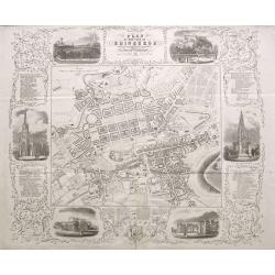
Plan of the City of Edinburgh with all the recent and intended improvements, lines of railways &c.
A rare plan of Edinburgh, surrounded by six views of important buildings and listings of hotels, inns, and many most worthy objects! The detailed plan shows the city with...
Place & Date: Edinburgh, 1846
Selling price: $250
Sold in 2015
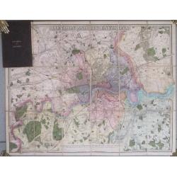
London And Its Environs. Containing the Boundaries of the Metropolitan Boroughs, the different Railroads & Stations, The New Cemetaries, Roads, Docks, Canals, and all modern improvements ...
The plan covers the extents from Tottenham down to Bromley and Barking across to Hanwell.The plan dissected into 18 sections and backed onto linen. Folds between dark bro...
Place & Date: London. 1847
Selling price: $250
Sold in 2014
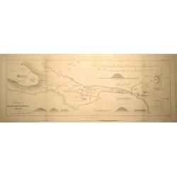
General Plan of the Antiquities of Stenness, Orkney.
General Plan of the Antiquities of Stenness and Orkney. Interesting map that covers the lochs and profiles the stones and Mees of Stenness. Drawn and engraved by James ...
Place & Date: London, 1851
Selling price: $11
Sold in 2019
Environs Of London [. . .] Windsor Castle to Gravesend.
Engraved by John Dower. An extremely detailed map of the vicinity of London, as it was in 1855 when this map was published. Many vignettes showing scenes in and around Lo...
Place & Date: London, 1857
Selling price: $180
Sold in 2014
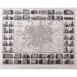
Illustrated Plan of Manchester and Salford.
Uncommon "carte à figures"- city plan of Manchester. Very detailed with street names, and a legend naming 51 buildings with their building date. The map is sur...
Place & Date: Manchester, 1857
Selling price: $130
Sold in 2016
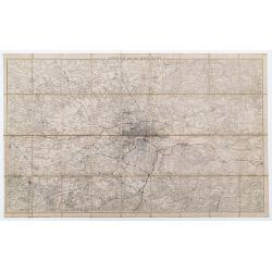
London And Its Environs.
Folding map of London and the surrounding regions. The extents cover the area from Potters Bar down to Epsom and Gravesend across to Windsor. Uncolored except for the pri...
Place & Date: Southampton, 1857
Selling price: $160
Sold in 2023
London Guide to the International Exhibition 1862
A very large and impressive plan of London, published specifically for the city's international exhibition of 1862. The exposition was a world's fair, seven years after t...
Place & Date: London, ca 1862
Selling price: $700
Sold
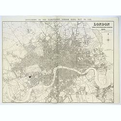
London. Guide to the International Exhibition.
Published as a supplement to the ILN of May 24th, 1862, this is a large, wonderfully detailed plan of London, extending from Hammersmith in the west, to Poplar in the eas...
Place & Date: London, 1862
Selling price: $210
Sold in 2017
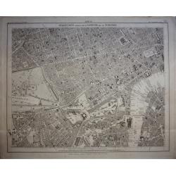
Stanford's Library Map of London and its Suburbs, sheet 10.
Published by Edward Stanford, 6 Charing Cross, London, February 15, 1862. Sheet no 10 covers the West End of London to the Houses Parliament and the Thames at Westminste...
Place & Date: London, 1862
Selling price: $240
Sold in 2020
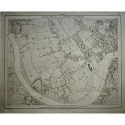
Stanford's Library Map of London and its Suburbs, sheet 13.
Published by Edward Stanford, 6 Charing Cross, London, February 15, 1862. Sheet no 13 covers West London... The Kings road in fields. The Thames from Hammersmith Bridge t...
Place & Date: London, 1862
Selling price: $260
Sold in 2019
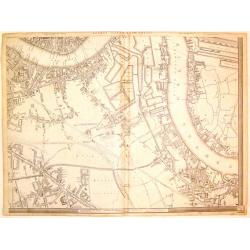
London, (South East Sheet).
Large handsome map of mid-Victorian South East London, including Southwark, Bermonsey, Surrey Docks, Depford and western Isle of Dogs. Published by Cassell, Petter & ...
Place & Date: London, 1866
Selling price: $55
Sold in 2019
Tombleson's Panoramic Map of the Thames and Medway London Published by G.W.Bacon & Co Ltd 127 Strand.
Tombleson’s Panoramic Map of the Thames and Medway London Published by G.W.Bacon & Co Ltd 127 Strand.Attractive steel engraving of the rivers Thames and Medway from...
Place & Date: London, 1880
Selling price: $180
Sold in 2017
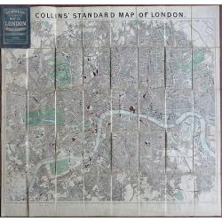
Collins Standard Map of London.
Linen backed. A famous map of London, drawn by Richard Jarman in 1858, at a scale of four inches to one statute mile, and originally published by Henry George Collins. W...
Place & Date: London, 1888
Selling price: $200
Sold in 2018
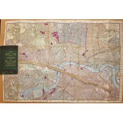
Tape Indicator Map of London and Visitors Guide.
A fold out linen backed hand colored plan of London by Charles Smith & Son, London, 1894. With green hardcover in good condition. Tape is present and complete.
Place & Date: London, 1894
Selling price: $120
Sold in 2017
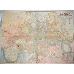
[Hackney from Booth's Poverty Map of London]
A map of the London Borough of Hackney, one section (of twenty) of an extended version of the incredibly influential Poverty Map, originally published in Charles Booth's ...
Place & Date: London, 1900
Selling price: $400
Sold in 2017
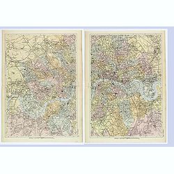
London West / East.
A detailed pair of plans of London, as it was at the turn of the last century. Different areas are multi colored. With rich detail that includes; many major roads and tho...
Place & Date: London, ca 1900
Selling price: $55
Sold in 2019
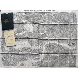
Philips New Map of Central London. 1900
Large plan of London printed on thin cloth! Shows central London in great detail, extending to Kentish Town, London Docks, South Lambeth, Notting Hill. With Philips Minia...
Place & Date: London, 1900
Selling price: $65
Sold in 2019
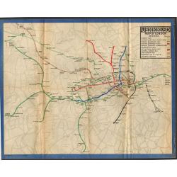
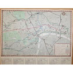
Underground Railway Map of London 1919.
One of the rarest London Underground maps. The first London Underground map produced after the end of World War One, the lines are shown with reasonable geographical accu...
Place & Date: London, 1919
Selling price: $260
Sold in 2018
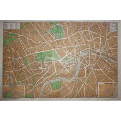
Clubland and Theatreland, London map 1924
This colorful and highly detailed large map of London was published c.1924 by Geographia Ltd. Covers the West End (Downtown) of London from the Hammersmith Bridge and Wor...
Place & Date: London, 1924
Selling price: $50
Sold in 2015
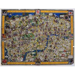
The Wonderground Map of London Town Drawn by MacDonald Gill.
In 1914, 'The Wonderground Map' was designed by MacDonald Gill and commissioned for the underground by Frank Pick, Commercial Manager of the then-Underground Electric Rai...
Place & Date: London, 1924
Selling price: $700
Sold in 2020
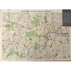
Map of Central London
A highly detailed folding map of Central London, published between the wars.
Place & Date: London, 1936
Selling price: $65
Sold in 2016
Underground Railway Map - London Transport - Issued free - No 1 - 1938.
An interesting early London underground map. The main map shows the Metropolitan and District Lines- Piccadilly Line – Bakerloo Line – and Central line with a key to ...
Place & Date: London, 1938
Selling price: $80
Sold in 2017
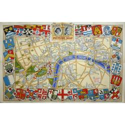
Royal Wedding. The Daily Telegraph Picture Map of the Route.
The Royal Wedding of Princess Elizabeth and Philip Mountbatten was on November 20, 1947. "Map Produced for the "Daily Telegraph" by H.A. & W.L. Pitkin ...
Place & Date: London, 1947
Selling price: $110
Sold in 2019
Oxford.
A comprehensive pictorial overview of Oxford’s rich history, especially in education.This image of Oxford is one of several pictorial maps Kerry Lee created to promote ...
Place & Date: London, 1948
Selling price: $425
Sold in 2022
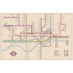
1953 Harry Beck London Underground map.
Published in the Queen's coronation year. A London Underground map (double sided).
Place & Date: London, 1953
Selling price: $60
Sold in 2019
1953 Harry Beck London Underground map.
1953 - The Queen's coronation year. London Underground map (double sided).
Place & Date: London, 1953
Selling price: $50
Sold in 2017
(1953 Harry Beck London Underground map.)
1953 - The Queen's coronation year. London Underground map (double sided) .
Place & Date: London, 1953
Selling price: $65
Sold in 2017
1953 Harry Beck London Underground map.
1953 - The Queen's coronation year. London Underground map (double sided).
Place & Date: London, 1953
Selling price: $50
Sold in 2017
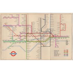
[London Underground map 1953]
1953 Queens Corination Year London Underground map
Place & Date: London, 1953
Selling price: $60
Sold in 2019
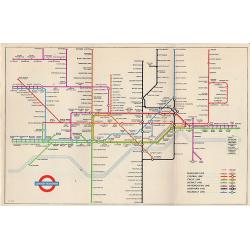
[London Underground map 1953]
1953 Queens Corination Year London Underground map by Harry Beck. Abandoning the restrictions of a geographically correct layout, the map actually constitutes a diagram o...
Place & Date: London, 1953
Selling price: $150
Sold in 2021
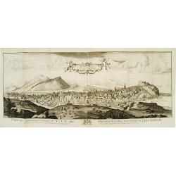
The North Prospect of the City of Edinburgh.
A very fine and quite large view of Edinburgh from Joannes Kip's Britannia Illustrata or Views of Several of the Queens Palaces also of the Principal Seats of the Nobilit...
Place & Date: London 1708-20
Selling price: $1300
Sold
Gall & Inglis Reduced Ordnance Map of London
A large scale folding map of London, published in London by Gall & Inglis in the form of a pocket book. The map is backed, both sides, and the main map is in full ori...
Place & Date: London, 1890
Selling price: $240
Sold in 2016
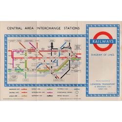
4 London Transport related maps.
‘Railways Diagram of Lines’ dated January 1951 (The London Underground) 225 x 150 mm.‘Bus Map Country Area’ June 1952, 570 x 430 mm.‘Bus Map Central Area Includ...
Place & Date: London, 1951 -1952
Selling price: $90
Sold in 2016
![Environs Of London [. . .] Windsor Castle to Gravesend.](/uploads/cache/92787-250x250.jpg)

![[Hackney from Booth's Poverty Map of London]](/uploads/cache/40266-250x250.jpg)


![[London Underground map 1953]](/uploads/cache/82683-250x250.jpg)
![[London Underground map 1953]](/uploads/cache/47164-250x250.jpg)
