Browse Listings in Europe > British Isles
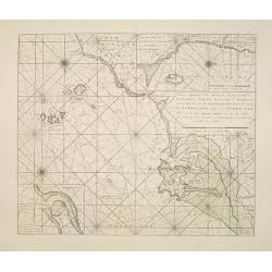
Nieuwe aftekening van Holy Eyland de Staples, coket Eyland en Barwyk .. Aan de ioostkust van Schotland..
Latitude scale, compass rose and system of rhumb lines, soundings, anchorage's, etc. A wealth of cities and information appear in the chart. Latitude scale, compass rose ...
Place & Date: Amsterdam 1753
Selling price: $375
Sold in 2008
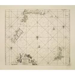
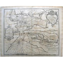
Paskaart Vande Noord Cust van Schotland als mede de Eylanden van Hitland en Fero..
South to the top. Latitude scale, compass rose and system of rhumb lines, soundings, anchorage's, etc. In lower right corner with added number 26.A wealth of cities and i...
Place & Date: Amsterdam 1753
Selling price: $250
Sold in 2008
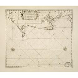
A new gradually encreasnig compass-map of the commingin of the Channel, or the Heads..
Title in Dutch, English and French. Showing the crossing of the Channel between Calais and Dover.Latitude scale, compass rose and system of rhumb lines, soundings, anchor...
Place & Date: Amsterdam 1753
Selling price: $210
Sold
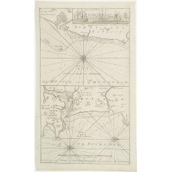
A new gradually encreasing compass-map, of a part the Sea Coasts of England .. Dorsetshire .. Hampshire ..
Title in Dutch and English. Showing the coasts of Dorset with Poole and Weymouth.Latitude scale, compass rose and system of rhumb lines, soundings, anchorage's, etc. In l...
Place & Date: Amsterdam 1753
Selling price: $220
Sold
A new gradually encreasing compass-map, of a part the Sea Coasts of England .. Sussex .. Hastings to Arundel ..
Title in Dutch and English. Showing the coast of Sussex.Latitude scale, compass rose and system of rhumb lines, soundings, anchorage's, etc. In lower right corner with ad...
Place & Date: Amsterdam 1753
Selling price: $220
Sold
A View of the Custom House with part of the Tower taken from ye River Thames London.. Publish'd according to Act of Parliament 1753.
Very decorative, so-called optical print illustrating the river Thames with the Custom House with part of the Tower of London.In the eighteenth and nineteenth centuries t...
Place & Date: London, 1753
Selling price: $300
Sold
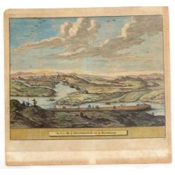
A View of Weftminfter Bridge / Vue du Pont de Weftminfter
A scarce, beautifully engraved view of Westminster Bridge and London. The work was originally executed by Boyer. Many key London sites are depicted in the background, inc...
Place & Date: London, dated 1753
Selling price: $160
Sold in 2010
De Reede van 't Leith van Edenburgh. / Afteekening van Nieuw en Oud Aberdeene . . .
Latitude scale, compass rose and system of rhumb lines, soundings, anchorage's, etc. A wealth of cities and information appear in the chart. In upper right corner inset v...
Place & Date: Amsterdam, 1753
Selling price: $360
Sold in 2011
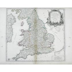
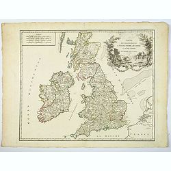
Le Royaume d'Angleterre, divise felon les sept Royaumes, ou Heptarchie des Saxons, avec La Principaute de Galles, et subdivise et Shires ou Comtes
Finely detailed, large scale map of England by Robert de Vaugondy. A large decorative title cartouche is at the top right corner.Gilles Robert de Vaugondy (1688-1766), al...
Place & Date: Paris, 1753
Selling price: $65
Sold in 2010
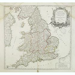
Le Royaume D'Angleterre, divise selon les sept Royaumes ou Heptrachie des Saxons, avec La Principaute De Galles, et subdivisie en Shires ou Comtes...
Decorative map of British Isles with Rococo title cartouche, engraved by E.Haussard.
Place & Date: Paris, 1753
Selling price: $25
Sold in 2014
A Map of the New roads & c. from Westminster Bridge.
A detailed map of London, showing the road system south of the Thames River. The map is oriented with south at the top and extends from London Bridge, The Tower of London...
Place & Date: London, 1753
Selling price: $36
Sold in 2019
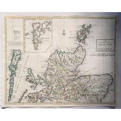
A New Map of the North Part of Scotland.
An antique map of the North Part of Scotland, drawn and engraved by Andrew Johnston, published in the third edition of William Camden's 'Britannia' in 1753. This map, and...
Place & Date: Glasgow, 1753
Selling price: $30
Sold in 2023
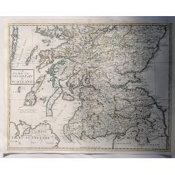
A New Map of the South Part of Scotland.
An antique map of the South Part of Scotland, drawn and engraved by Andrew Johnston, published in the third edition of William Camden's 'Britannia' in 1753. This map, and...
Place & Date: Glasgow, 1753
Selling price: $17
Sold in 2023
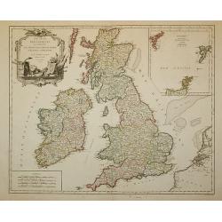
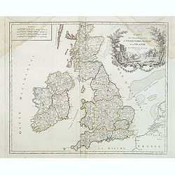
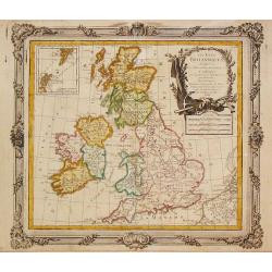
Les Isles Britanniques ...
Decorative map of British Isles with Rococo title cartouche and inset map with Shetland Islands.
Place & Date: Paris, 1754
Selling price: $120
Sold in 2011
Hoxton Hospitall.
A fine 18th century copper engraving by Johannes Kip, featuring a view of Hoxton Hospital or Aske's Hospital on Pitfield Street in London. It was published according to A...
Place & Date: London, 1754
Selling price: $21
Sold in 2015
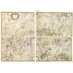
An exact Survey of the Cities of London and Westminster, the Borough of Southwark, The Country near ten Miles round begun in 1741, finished in 1745, and publish'd in 1746. . .
Key wall-map of the greater London area surveyed by John Rocque and published in 16 sheets. One of the finest maps of – what is now – Greater London ever produced. Ac...
Place & Date: London, 1751/1754
Selling price: $5600
Sold in 2014
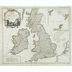
Les Isles Britanniques. . .
Decorative map of British Isles with Rococo title cartouche and inset map with Shetland Islands.
Place & Date: Paris, 1754
Selling price: $35
Sold in 2015
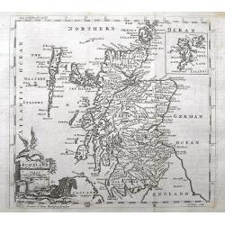
Scotland.
A small and detailed copper engraved map of Scotland. Names many towns, rivers, loughs, and even small islands like North Rona, St. Kilda, etc...Decorated with a title ca...
Place & Date: London, ca 1754
Selling price: $17
Sold in 2018
A plan of the ground and buildings in the Strand called the Savoy, taken in the year 1736.
A rare detailed plan of the Savoy between the Strand and the Thames in London. With details of each building and the business operating there. A scale bar shows distance ...
Place & Date: London, ca 1754
Selling price: $81
Sold in 2020
A set of 10 views of London Church's engraved by Benjamin Cole.
10 Original antique copper engravings For William Maitlands "History of London" Published in London, 1755. Titles: A PERSPECTIVE VIEW OF ST. MARTINS CHURCH....
Place & Date: London, 1755
Selling price: $75
Sold in 2016
A New and Correct Chart of the Harbour of Corke...
Map of Cork, Ireland (southwest Ireland).
Place & Date: London, c. 1755
Selling price: $55
Sold in 2010
Farringdon ward without with it's division into parishes according to a new survey.
This plan was published in William Maitland's "History of London from its Foundation to the Present Time." The plan's title features in cartouche at top left, w...
Place & Date: London, 1755
Selling price: $160
Sold in 2015
Cripplegate Ward with its Division into Parishes According to a New Survey.
A fine decorative, detailed plan of a section of London, England from John Stow's "A SURVEY OF THE CITIES OF LONDON & WESTMINSTER" published in London in 17...
Place & Date: London, 1755
Selling price: $35
Sold in 2018
Aldgate Ward with its Division into Parishes Taken from the Latest Survey.
A fine decorative, detailed plan of a section of London, England from John Stow's "A SURVEY OF THE CITIES OF LONDON & WESTMINSTER" published in London in 17...
Place & Date: London, 1755
Selling price: $40
Sold in 2019
A Mapp of Lime Street Ward, Taken from ye Last Surveys & Corrected.
An eighteenth-century plan of Lime Street Ward in the heart of the City of London. The area covered extends north from Fenchurch Street across Leadenhall Street and via S...
Place & Date: London, 1755
Selling price: $65
Sold in 2019
The Prospect of Lincoln's Inn.
A pleasing picture of 'The Prospect of Lincoln's Inn' included in 'Stow's Survey of London', a fine copper engraving published in 1755. It is an fine example of the Engli...
Place & Date: London, 1755
Selling price: $26
Sold in 2018
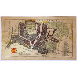
Cow Cross, Being St. Sepulcher's Parish with the Charter House.
A lovely detailed copper engraved city plan of Saint Sepulcher's parish featuring the Charter House. The key at the right lists 29 featured locations within the parish. ...
Place & Date: London, 1755
Selling price: $25
Sold in 2018
Gezigt van den Tuin van Somerset's Paleis, Langs den Theems tot op de Brug van Londen
Very nice 18th century copper engraved view of London from the bank of the Thames, with St. Paul´s Cathedral central on the image and showing many interesting details. T...
Place & Date: 1755
Selling price: $130
Sold in 2023
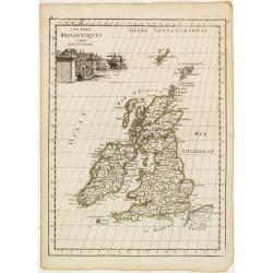
Les Isles du Britanniques.
Fine map of the British Isles with a fine cartouche depicting vessels approaching the harbour.George Louis Le Rouge was active from 1740- till 1780 as a publisher, and wa...
Place & Date: Paris 1756
Selling price: $30
Sold
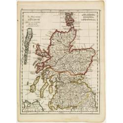
Le Royaume d'Ecosse..
Fine map of Scotland. George Louis Le Rouge was active from 1740- till 1780 as a publisher, and was appointed engineer for the King of France. From his Atlas Nouveau Port...
Place & Date: Paris 1756
Selling price: $30
Sold
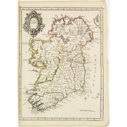
L'Irlande.
Fine map of Ireland with a decorative title cartouche. George Louis Le Rouge was active from 1740- till 1780 as a publisher, and was appointed engineer for the King of Fr...
Place & Date: Paris 1756
Selling price: $85
Sold
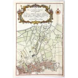
A New and Accurate Survey of the Parishes of St. Andrew's Holburn....
A fine, detailed hand-colored map of the Charterhouse Liberty area. From Maitland's "THE HISTORY AND SURVEY OF LONDON" published by Osborne & Shipton in Lon...
Place & Date: London, 1756
Selling price: $96
Sold in 2016
An Accurate Map of Berkshire divided into its Hundreds . . .
A good clean copy of by far the most important eighteenth-century English atlas to be published before the appearance of John Cary's new English atlas in 1787 (Hodson). T...
Place & Date: London ca 1756
Selling price: $170
Sold in 2023
Londen.
Very rare bird's-eye plan of London. To the sides a historical description and a numbered key.George Christophe Kilian (1709-1780) active as engraver of Augsburg publishe...
Place & Date: Augsburg 1757
Selling price: $185
Sold
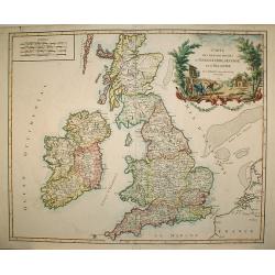
Carte des grandes routes d'Angleterre, d'Ecosse.. Irlande.
Decorative map of British Isles with Rococo title cartouche. Engraved by Delahaye.
Place & Date: Paris, 1757
Selling price: $330
Sold in 2009
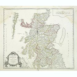
Le Royaume d'Ecosse.
Detailed map of Scotland, from and early edition of DeVaugondy's Atlas Universel. Includes towns, mountains, rivers, lakes and a host of other details. Decorative Cartouc...
Place & Date: Paris, 1757
Selling price: $95
Sold in 2013
Carte des grandes routes d'Angleterre, d'Ecosse et d'Irlande.
Decorative map of British Isles with Rococo title cartouche. Engraved map by Delahaye. Relief shown pictorially.
Place & Date: Paris, 1757
Selling price: $18
Sold in 2015
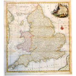
A New and Accurate Map of that District of Great Britain called England & Wales.
A very detailed map of Great Britain by Thomas Kitchin, from Walpoole's New & Complete British Traveller, published in 1784.Thomas Kitchin was among the most producti...
Place & Date: London, 1757
Selling price: $45
Sold in 2015
Carte reduite de l'isle d'Aurigni et des isles et roches voisines dressée au Depost des Cartes et Plans . . .
Sea of Guernsey.Relief shown by hachures. Depths shown by soundings. It shows soundings, anchorage's, channels, shoals, navigational sightings.
Place & Date: Paris, 1757
Selling price: $310
Sold in 2015
Carte des Grandes Routes d'Angleterre, d'Ecosse, et d'Irlande.
This is a delightful 1757 map of the British Isles by Robert de Vaugondy. The map extent is all of England, Wales, Scotland and Ireland, and it notes several important ro...
Place & Date: London, 1757
Selling price: $55
Sold in 2021
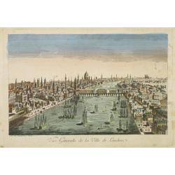
Vue générale de la ville de Londrea.
So-called optical print of London. The view is taken from a bridge on the Thames River and depicts several ships in the river and a great skyline.Daumont was a well-known...
Place & Date: Paris 1760
Selling price: $200
Sold
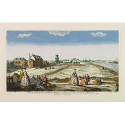
A view of the Road and Water-Works of Chelsea, with a Prospect of London.
So-called optical print illustrating the Somerset House with St. Mary's Church in the Strand London as indicated in the title. Shows figures walking and seated on the gro...
Place & Date: Paris 1760
Selling price: $300
Sold
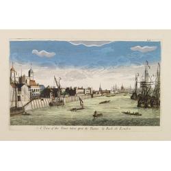
A View of the Tower taken upon the Thames. / La Rade de Londres.
So-called optical print illustrating a perspective view of the Tower as well as part of the Docks of London.In the eighteenth and nineteenth centuries there were many pop...
Place & Date: London, c.1760
Selling price: $200
Sold
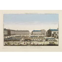
Vüe Perspective du Marché aux Fleures a Londres. (Covent Garden)
So-called optical print illustrating a perspective view of the flower market in London, now-a-days Covent Garden.In the eighteenth and nineteenth centuries there were man...
Place & Date: Paris 1760
Selling price: $200
Sold
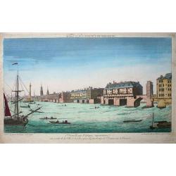
Premiere nouvelle vue d\'optique représentant une partie de la ville de Londres prise du faubourg de Saint Octave sur la Tamise
So-called optical print showing a fine view of a bridge over the river Thames in London, with houses built on it. Several ships on the river, large and small, complete th...
Place & Date: Paris, ca. 1760
Selling price: $195
Sold in 2009
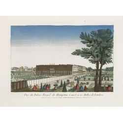
Vue du Palais Royal de Hampton Court a 15 Mille de Londres.
So called optical print of the Hampton Court Royal Palace Royal Gardens near London. Published by the brothers Chéreau, active in Paris at rue St. Jacques au dessus de l...
Place & Date: Paris, 1760
Selling price: $100
Sold in 2019
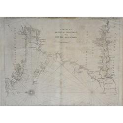
A Chart of the Bay of Galloway and River Shannon. . .
A fine nautical chart of the coastline along the Galway Bay of western Ireland by Mount and Page. The Mount and Page publishers firm of London was founded in 1701 by Rich...
Place & Date: London, c.1760
Selling price: $105
Sold in 2010
A Chart of the Seacoasts of Ireland from Dublin to London-Derry. . .
A fine nautical chart of the coastline along the northeast coast of Ireland, showing city of Dublin, by Mount and Page. The Mount and Page publishers firm of London was f...
Place & Date: London, c.1760
Selling price: $120
Sold in 2010
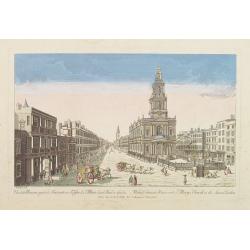
Vue de la Maison royale de Somerset avec l'Eglise de Ste. Marie dans le Strand a Londres. . .
So-called optical print illustrating the Somerset House with St. Mary's Church in the Strand London as indicated in the title. In the eighteenth and nineteenth centuries ...
Place & Date: Paris, 1760
Selling price: $150
Sold in 2019
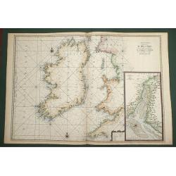
Carte Generale de Costes D'Irlande, et des Costes Occidentales D'Angleterre avec une Partie de celles D'Ecosse.
Very large engraved sea chart, with inset view of the River Dee at Chester. The chart showing the whole of Ireland and the Westcoast of England from Cornwall to Cuningham...
Place & Date: Paris, 1760
Selling price: $400
Sold in 2011
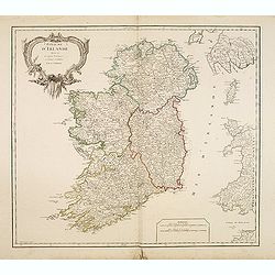
Royaume d'Irlande divisé en ses quatre Provinces.
Fine map of Ireland, engraved by the master Delahaye. Fine title cartouche. With ereased date.
Place & Date: Paris, ca.1760
Selling price: $48
Sold in 2012
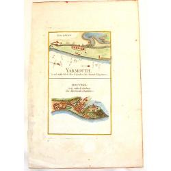
Yarmouth & Douvres.
An interesting copper engraved map showing the ports of Yarmouth and Dover in England. Louis Charles Desnos (1725-1805) was a geographer, bookseller and engineer, and ma...
Place & Date: Paris, 1760
Selling price: $1
Sold in 2013
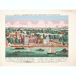
Der Pallast oder Residenz des Erzbischoffs von Canterbury ganandt Lambeth, an der Themse zu London. . .
Rare so-called optical print illustrating Lambeth Palace, the official London residence of the Archbishop of Canterbury, with a detailed view of London in the Background ...
Place & Date: Augsburg, 1760
Selling price: $210
Sold in 2017
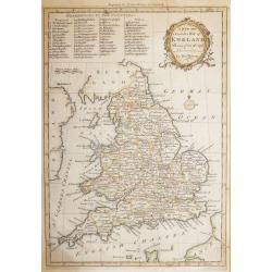
A new and Accurate Map of ENGLAND Drawn from the best Authorities by Thomas Bowen.
A detailed map of England and Wales engraved for Cowley’s History of England 1760 edition. The title is in a very ornate cartouche a list of references to the Counties ...
Place & Date: London 1760
Selling price: $90
Sold in 2016
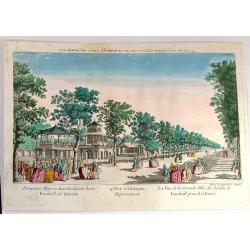
Vue d'Optique Representant: La Vue de la Grande Allee du Jardin de Vauxhall Prise de l'entrée
Optical print illustrating a perspective view of Vauxhall Garden in London. (No. 24e) It was produced at Chez Daumont in Paris in 1760.Vue d'Optique, is a special type of...
Place & Date: Paris, 1760
Selling price: $18
Sold in 2015
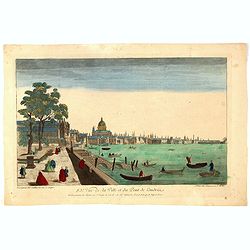
83e Vue de la Ville et du Pont de Londres.
So-called optical print of London with River Theems. Basset was a well-known publisher of optical prints, established in rue S.Jacques in Paris. In the eighteenth and nin...
Place & Date: Paris, 1760
Selling price: $30
Sold in 2016
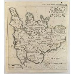
Carta Dell' Inghilterra nel Tempo della Decandenz a de Romani.
A detailed, fine and unusual ca 1760 Charles Rollin copper engraved historical map of England & Wales at the time of the Roman Domination. The map provides good topog...
Place & Date: Paris, 1760
Selling price: $105
Sold in 2019
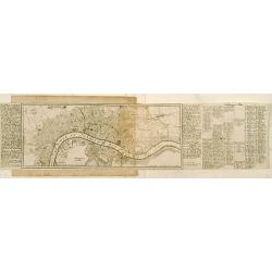
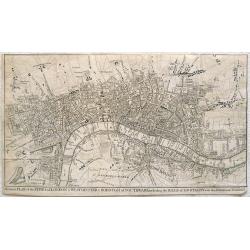
A correct plan of the cities of London & Westminster & Borough of Southwark including the bills o mortality with the additional buildings
This map of London was published as supplement to Volume 30 of the 'London Magazine' in 1761. Attributed to John Rocque, the map's title features in a panel below the pla...
Place & Date: London, 1761
Selling price: $142
Sold in 2013
Vue de la Ville de Newaberdene du cote de Blockhause.
Striking hand colored, copper engraved view of Aberdene, Scotland. Pieter van der Aa (1659 - 1733) was a Dutch publisher, best known for preparing maps and atlases. He ...
Place & Date: Amsterdam, 1761
Selling price: $65
Sold in 2014
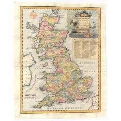
An Accurate Map of Great Britain from the latest & best Observations.
Striking and highly detailed s copper engraved map of the United Kingdom. The map shows cities, towns, rivers, roads, lakes, islands and regional divisions. A large deco...
Place & Date: London, 1761
Selling price: $110
Sold in 2018
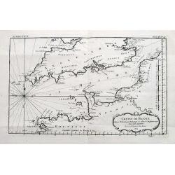
Costes de France depuis Brest jusqu'a Dunkerque...
An interesting chart of the Channel with the English and French coasts. Extends from Bristol to Cornwall, all the way to London and Kent in England; and from Brest to Par...
Place & Date: Paris, 1761
Selling price: $18
Sold in 2017
An Accurate Map of England, Scotland and Ireland. . .
A fine hand-colored map of England, Scotland & Ireland by Seale, it was published in the “UNIVERSAL MAGAZINE” BY Hinton. colored by region, it features a decorati...
Place & Date: London, 1761
Selling price: $119
Sold in 2020
L'Irlande.
A first state (of 2) dated 1762. Fine map of Ireland, engraved by E.Dussy. Fine title cartouche upper left engraved by Arrivet. From his Nouvel Atlas Portatif .
Place & Date: Paris, 1762
Selling price: $100
Sold in 2021
L\'Irlande.
General map of Ireland. From Gilles Robert de Vaugondy's Nouvel Atlas Portatif.
Place & Date: Paris, 1762
Selling price: $80
Sold in 2012
Cumberland, Drawn from the Best Surveys, Maps & Charts
An attractive and finely engraved 18th century map of Cumberland, by Thomas Kitchin, which was published in Henry Boswell's 'Antiquities of England & Wales'. It featu...
Place & Date: London, 1762
Selling price: $34
Sold in 2016
Nieuwe Kaart van't Zuider Gedeetle van Groot Britannie.
A very attractive and detailed map of England and Wales. This work includes topography along with principal roads and cities. Portions of Scotland, Ireland and France are...
Place & Date: Amsterdam, 1763
Selling price: $110
Sold in 2009
The Environs of London Reduced from an Actual Survey in 16 Sheets, by the Late John Rocque, topographer to His Majesty with New Improvements to the Year 1763. . .
A fine map of greater London being a reduced version of John Rocque's survey of London in 16 sheets. The map bears the name of Rocque's widow, Mary Ann, who continued his...
Place & Date: London, 1763
Selling price: $6100
Sold in 2013
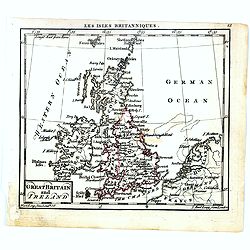
Great Britain and Ireland.
Uncommon miniature map of Great Britain and Ireland, engraved by Thomas Kitching for "A New General and Universal Atlas Containing Forty five Maps by Andrew Dury&quo...
Place & Date: London, 1761-1763
Selling price: $25
Sold in 2016
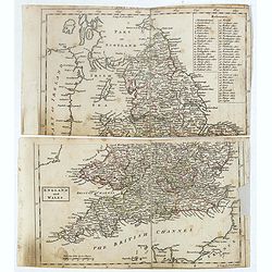
England and Wales.
Uncommon miniature map in two sheets of England and Wales engraved by Thomas Kitching for "A New General and Universal Atlas Containing Forty five Maps by Andrew Dur...
Place & Date: London, 1761-1763
Selling price: $60
Sold
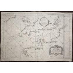
Carte de la Manche réduite Pour servir aux Vaisseaux du Roy.
A highly detailed sea chart of the English channel with accurate representation of the coasts of England and France. The map extends north to Ireland, in the east to Oste...
Place & Date: Paris, 1763
Selling price: $350
Sold in 2020
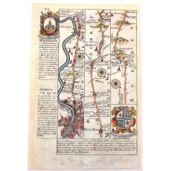
The Road from London to the Lands-End in Cornwall.
Attractive and decorative 18th century strip map showing the route from London to Cornwall. It was published in "Britannia Depicta". The strip road maps of Engl...
Place & Date: London, 1720 - 1764
Selling price: $55
Sold in 2015
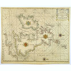
A New and Correct Chart of England Scotland and Ireland.
A striking sea chart of the British Isles, centered on the Isle of Man, published by Mount and Page in London, in the latter half of the eighteenth century. The chart is ...
Place & Date: London, 1764
Selling price: $100
Sold in 2022
Derbyshire Divided into Hundreds
A map of ‘Derbyshire’ by Emanuel Bowen and Thomas Bowen, ca. 1765.An extremely rare map from Thomas Kitchin's 1765 edition of the "English Atlas". Thomas Ki...
Place & Date: London, 1765
Selling price: $130
Sold in 2017
Les Isles Britanniques, 1766. Plus 2 other maps of the area
Les Isles Britanniques, 1766. Plus 2 other maps of the area Louis Brion de la Tour (1756-1823), ' Atlas Géneral, Civil et Ecclésiastique', 1766, ' Atlas Général', 17...
Place & Date: Paris, 1766
Selling price: $110
Sold in 2020
L' Angleterre divises en 5 grandes Parties subsidivisees en 52 Comtes et partagee en 2 Provinces Ecclesiastiques.
Louis Brion de la Tour (1756-1823), ' Atlas Géneral, Civil et Ecclésiastique', 1766, ' Atlas Général', 1790-98. Louis Charles Desnos (fl.1750-70), Le Rouge's 'Atlas N...
Place & Date: Paris, 1766
Selling price: $65
Sold in 2018
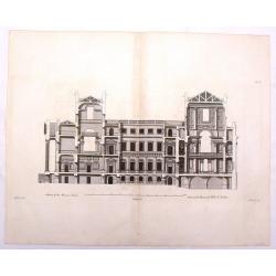
Section of the Mansion House - Vitruvius Britannicus.
Fine architectural copper engraving of a section of the Manor House in London, the front with columns and portico on the left and the inside of the rooms shown on the two...
Place & Date: London, 1767
Selling price: $18
Sold in 2019
‘Somersetshire Divided into Hundreds'
An extremely rare map from Emanuel Bowen’s 'Atlas Anglicanus.'The maps for the Atlas Anglicanus were first issued in monthly parts, between 1767 and 1768, before the co...
Place & Date: London, 1767
Selling price: $100
Sold in 2020
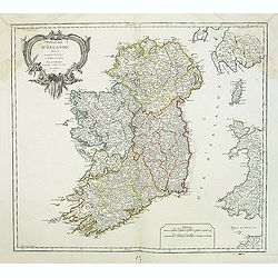
Royaume d'Irlande divisé en ses quatre Provinces.
A detailed map of Ireland from his "Atlas Universel." Gilles Robert de Vaugondy (1688–1766), also known as Le Sieur or Monsieur Robert, and his son, Didier Ro...
Place & Date: Paris, 1753-1768
Selling price: $20
Sold in 2013
Bolton Castle & Richmond Castle in Yorkshire (2 Prints).
Two hand-covered, copper engravings taken from Francis Grose's "Antiquities of England and Wales" published in London by Alex Hogg. The engeravers were Thorton ...
Place & Date: London, c1768
Selling price: $85
Sold in 2013
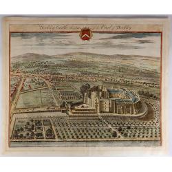
Berkley Castle, the Seat of the Earl of Berkley.
Kip engraved this fine topographical engraving for Sir Robert Atkyns’s “The Ancient and Present State of Gloucestershire”. Kip’s views are widely considered to ...
Place & Date: Amsterdam, 1768
Selling price: $130
Sold in 2023
