Browse Listings in Europe > Belgium > Belgium Provinces
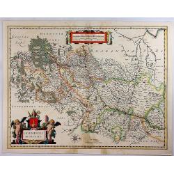
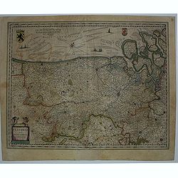
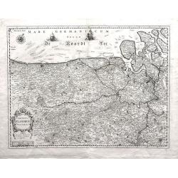
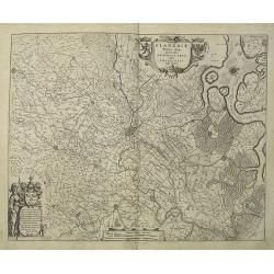
Comitatus Flandriae Nova Tabula.
Fine map of Flanders prepared by Henricus Hondius, the famous mapmaker.A beautiful ornamental title cartouche located on the lower left corner. Dedicated to Dr. Ionni d'H...
Place & Date: Amsterdam, 1645
Selling price: $163
Sold in 2018
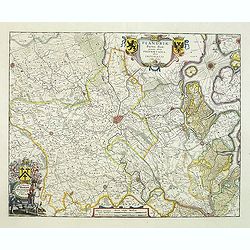
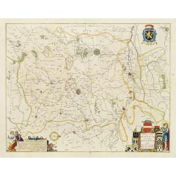
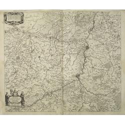
Mechlinia Dominium, et Aerschot Ducatus.
Blaeu's lovely map of the surrounds of Mechelin in central Belgium. In the upper right corner a beautiful title cartouche is seen, embellished with two female figures, on...
Place & Date: Amsterdam, 1645
Selling price: $75
Sold in 2020
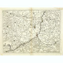
Leodiensis dioecesis.
West to the top. Fine map including the Dutch and Belgium provinces Limburg and the Belgium province of Namen and Ardennes. German text on verso.
Place & Date: Amsterdam, 1647
Selling price: $100
Sold in 2018
Flandria et Zeelandia Comitatus.
Includes Flanders and Zeeland. The map originally engraved in 1641 for Sanderus 'Flandria Illustrata', was used several times in Blaeu's atlases.
Place & Date: Amsterdam, ca. 1647
Selling price: $220
Sold in 2012
Flandria Gallica Continens Castellanias Insulensem Duacensem Orchianensem Civitatem Dominiumq: Tornacense.
This map of a part of Walloon province of Belgium in the centre is Lille, In 1667, Louis XIV of France successfully laid siege to Lille, resulting in it becoming French i...
Place & Date: Amsterdam, 1647
Selling price: $80
Sold in 2020
Iprensis Episcopatus.
Map of the Dioceses of Ypres (1559-1801). Centered on the towns of Ypres and Rouselare.Rare map only included in Joan Blaeu's Atlas Major. Originally engraved for Sanderu...
Place & Date: Amsterdam, 1650
Selling price: $300
Sold in 2020
Prima pars Brabantiae cuius caput Lovanium.
Decorative map centred on Tienen and Leuven. West to the top.
Place & Date: Amsterdam 1650
Selling price: $100
Sold in 2018
Prima pars Brabantiae cuius caput Lovanium.
Decorative map centered on Tienen and Leuven. West to the top.
Place & Date: Amsterdam, 1650
Selling price: $100
Sold in 2018
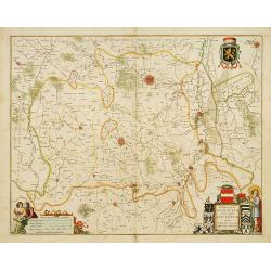
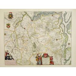
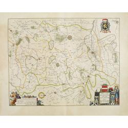
Prima pars Brabantiae cuius caput Lovanium.
Decorative map centered on Tienen and Leuven. West to the top. Prepared by Michael Floris van Langeren (1612-1675). He was an mathematician and astronomer who served for ...
Place & Date: Amsterdam 1650
Selling price: $525
Sold
Tertia Pars Brabantiae.
West is at the top. At the lower left the cartouche embellished with male figures with compasses, globe, book and winckel-kruis . At bottom, right of the centre, a beauti...
Place & Date: Amsterdam, 1650
Selling price: $300
Sold in 2008
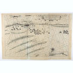
Afbeeldinge vande vermaerde seehaven .. Duynkerken..
Blaeu's chart of the coast of the French coast from Duinkerk till Waldamme. In an inset, lower right the continuation till Calais. Many ships offshore Duinkerk, with soun...
Place & Date: Amsterdam, 1650
Selling price: $250
Sold in 2008
Prima pars Brabantiae cuius caput Lovanium.
Decorative map centered on Tienen and Leuven. West to the top.
Place & Date: Amsterdam, 1650
Selling price: $200
Sold in 2008
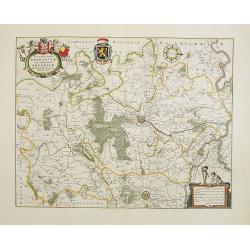
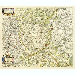
Secunda pars Brabantiae cuis urbus primaria Bruxellae.
At the upper left the title cartouche, decorated with two angels holding the heraldic arms of Brussels, Nijvel and Vilvoorde, next to it that of Brabant. The cartographer...
Place & Date: Amsterdam, 1650
Selling price: $250
Sold in 2008
Secunda pars Brabantiae cuis urbus primaria Bruxellae . . .
No text on verso !. At the upper left the title cartouche, decorated with two angels holding the heraldic arms of Brussels, Nijvel and Vilvoorde, next to it that of Braba...
Place & Date: Amsterdam, 1650
Selling price: $75
Sold in 2018
Dioecesis Leodiensis
Detailed map of Belgium. Embellished an allegorical title cartouche surrounded by a coat of arms. Shows the Maas, part of Belgium next to Brabant. Cities include Liege, M...
Place & Date: Amsterdam, c. 1650
Selling price: $80
Sold in 2023
Afbeeldinge vande vermaerde seehaven ... Duynkerken..
Blaeu's chart of the coast of the French coast from Dunkirk till Waldamme. In an inset, lower right the continuation till Calais. Many ships offshore Dunkirk, with soundi...
Place & Date: Amsterdam, 1650
Selling price: $57
Sold in 2020
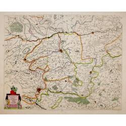
Comitatus Flandria Noua Tabula.
Finely detailed map of Flanders by Sanson published by Pierre Mariette. Shows the Flemish coastal region from Calais and Dunkirk, France to Antwerp, Belgium and includes...
Place & Date: Paris, 1654-1659
Selling price: $135
Sold in 2010
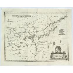
Namurcum Comitatus.
A fine map of the surrounding area around Namur, Belgium, part of the Spanish Netherlands. The map with the Sambre and Meuse rivers and other places like Dunant. It feat...
Place & Date: Frankfurt, 1659
Selling price: $126
Sold in 2018
Flandriae Partes duae quarum altera proprietaria . . .
No text on verso.! A very detailed map with Gent in the center. Lower right corner Antwerp and Vlissingen in top right. At bottom left a very decorative cartouche with a ...
Place & Date: Amsterdam, ca. 1660
Selling price: $170
Sold in 2009
Dioecesis Leodiensis Accurata Tabula.
Detailed map of Belgium taken from H. Hondius map and updated. Shows the river Maas, part of Belgium next to Brabant. Including the towns of Liege, Maastricht, Namur and ...
Place & Date: Amsterdam, ca.1660
Selling price: $92
Sold in 2009
Pars Flandriae Teutonicae.
A fine map of Flemish Flanders with the city of Dunkerque shown and a huge fleet of 39 ships. The interior is well engraved with forests and towns, and extends to the Lys...
Place & Date: Amsterdam, 1660
Selling price: $52
Sold in 2018
Castellaniae Corturiacensis Tabula.
With a dedication by A.Sanderus to the nobles and the magistrates of the Castellany. Very detailed map including the towns of Menen, Tielt, Harelbeke, Cortryck and Deinze...
Place & Date: Amsterdam, 1661
Selling price: $100
Sold in 2022
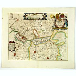
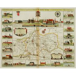
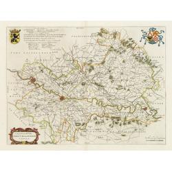
Nobilibus Amplissimis Q. Dominis D. Georgio De La Faille Toparchae Deneuele &c. Praetori Totiq. Colllegio Supremae Curiae Feudalis Regiae Veteris Burgi Gandensis [Gent]
Fine map centered on Gent in Flandres with inset "Graven Kasteel". From Blaeu's Atlas Major.
Place & Date: Amsterdam, 1662
Selling price: $340
Sold in 2019
Leodiensis Dioecesis.
A map of Liege, a province in Belgium. A splendidly decorative map of the Muese River and valley, including Namur and Liege, with west oriented at top of map. Franchimo...
Place & Date: Amsterdam, 1662
Selling price: $100
Sold in 2018
Flandriae. . .
Charming little map of Belgium made by Gabriel Bucelin (1599-1681). Bucelin was a Swiss genealogist and an author of several books and a number of manuscript maps of Germ...
Place & Date: Ulm, Johannes Görlin, 1658-1664
Selling price: $110
Sold in 2008
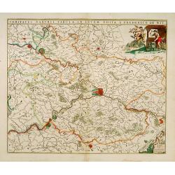
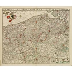
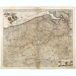
Comitatus Flandria Tabula, in Lucem Edita a Frederico de Wit ...
Attractive map of Flanders.
Place & Date: Amsterdam, 1670
Selling price: $100
Sold in 2012
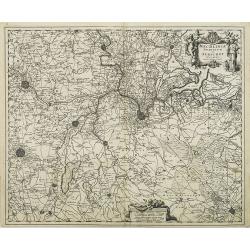
Marchionatus sacri imperii et dominii mechelini tabula...
Map of the belgion region of Mechelen.
Place & Date: Amsterdam, 1670
Selling price: $100
Sold in 2012
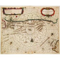
De Cust van Vlaenderen, vande Wielingen to aenden Hoofde.
Theunis Jacobsz, Amsterdam-based maritime publisher added Lootsman (pilot) to his name. After his death in 1650, his sons Jacob Theunisz and Casparus continued the firm. ...
Place & Date: Amsterdam, 1676
Selling price: $850
Sold in 2008
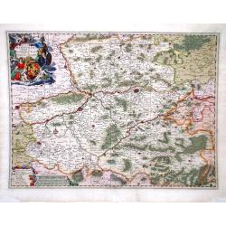
Lovaniensis Tetrarchia una cum Arscotano Ducatu. . .
Decorative map centred on Tienen and Leuven. Also including the towns of Mechelen, Namen, Landen, Leeuw, Aarschot, etc.
Place & Date: Amsterdam, 1680
Selling price: $100
Sold in 2018
Leodiensis episcopatus..
Map centred on Liege. Covering the area between Antwerp, Turnhout, Roermond, Cologne, Trier and Dinant.
Place & Date: Amsterdam 1680
Selling price: $80
Sold
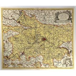
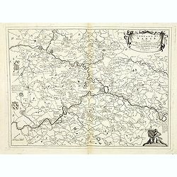
Comitatus Namurci Tabula in Lucem..
Centred on Namen, with decorative title cartouche upper right.
Place & Date: Amsterdam 1680
Selling price: $200
Sold
Marchionatus sacri imperii.. Mechelini Tabula. . .
Decorative map covering the area of Antwerp, Leuven, Brussels Aalst and Hulst.
Place & Date: Amsterdam, 1680
Selling price: $150
Sold in 2018
Leodiensis Episcopatus.
Visscher map of Belgium and Trier region of Germany with beautiful original color. Shows Antwerp in the upper left corner, Trier, Germany in lower right corner.
Place & Date: Amsterdam, 1680
Selling price: $45
Sold in 2010
Comitatus Hannonia Tabula.
Nicolas Vissher map showing region of northern France and Belgium.
Place & Date: Amsterdam, 1680
Selling price: $70
Sold in 2010
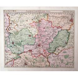
Flandria Comitatus Pars Media.
Nicolas Visscher map, with beautiful original color, showing region of Belgium with city of Gent in the top right corner.
Place & Date: Amsterdam, 1680
Selling price: $95
Sold in 2010
Leodiensis Episcopatus Pars Septentrionalis, Comprehendens Comitatum Lossensem et Hornanum
Beautiful map of the Limburg region of Southeastern Netherlands and northern Belgium by Nicolas Visscher. Shows the cities of Maastricht, Hasselt (northern Belgium), Brey...
Place & Date: Amsterdam, c. 1680
Selling price: $145
Sold in 2010
Comitatus Flandriae Accuratissima, descriptio,. . .
Uncommon and detailed map of the provinces of Flanders and Brabant in present-day Belgium.Magnificent title- and scale cartouches etched by Romeijn de Hooghe.
Place & Date: Amsterdam, 1680
Selling price: $100
Sold in 2014
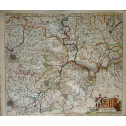
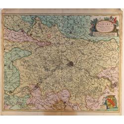
Comitatus Namurci..
Detailed map of a part of Belgium with Namur in the middle. Large (colored) cartouche with putti and one with a coat of arms.
Place & Date: Amsterdam ca.1680
Selling price: $25
Sold in 2014
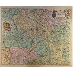
Comitatus Hannoniae..
Detailed map of a part of Belgium with Bergen/Mons in the middle. Large (colored) cartouche with putti and one with a coat of arms.
Place & Date: Amsterdam ca.1680
Selling price: $24
Sold in 2014
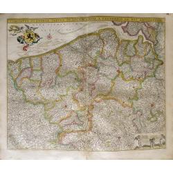
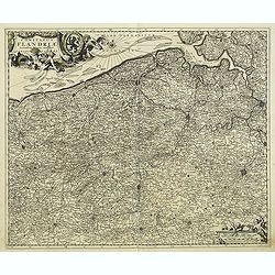
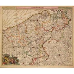
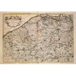
Comitatus Flandriae Tabula in lucem edita.
Map of Flanders, the whole Belgian region northwest of Brussels, confined by Antwerp, Brussels, Valenciennes, Arras, St. Omer and the Channel.Title heading above the map,...
Place & Date: Amsterdam, 1680
Selling price: $100
Sold in 2018
Comitatus Flandriae Tabula, In Lucem Edita A Frederico De Wit.
Double page map of Flanders, the whole Belgian region northwest of Brussels, confined by Antwerp, Brussels, Valenciennes, Arras, St. Omer and the Channel. Title heading a...
Place & Date: Amsterdam, 1680
Selling price: $27
Sold in 2016
Comitatus Hannonia et Episcopatus Cambresis Descriptio Auctore
A pleasing map of the Belgian region of Hannonia. Adorned with a cartouche including a coat of arms with soldiers on horses surrounding. Also has an interesting vertical ...
Place & Date: Amsterdam, 1680
Selling price: $170
Sold in 2016
Flandriae Partes duae, quarum altera proprietaria, altera imperialis. . .
No text on verso.! A very detailed map with Gent in the center. Lower right corner Antwerp and Vlissingen in top right. At bottom left a very decorative cartouche with a ...
Place & Date: Oxford, 1682
Selling price: $120
Sold in 2011
Flandriae Comitatus Pars Australis.
A finely engraved decorative map of southern Flanders, centered on Ryssel / Lille. The cities and topography are shown in detail with a miniature plan representing the f...
Place & Date: Amsterdam, 1683
Selling price: $55
Sold in 2016
Mechlinia Dominium et Aerschot Ducatus Auctore Nicolao Visscher.
Fine decorative map of part of Belgium including the cities of Antwerp, Mechelen, Brussels, Leuven and Tienen. Taken from the atlas Germania Inferior, sive XVII Provincia...
Place & Date: Amsterdam, 1684
Selling price: $120
Sold in 2015
Comitatus Namurci Emendata Delineatio, Nuperrimè in lucem edita, per Nicolaum Visscher.
A detailed engraved map of the Belgian province of Namur (Namen), showing some cities including; Namur, Dinant & Charleroi. From the atlas “Germania Inferior, sive ...
Place & Date: Amsterdam, 1684
Selling price: $40
Sold in 2016
Comitatus Namurci Emendata Delineatio.
A fine copperplate map of the Namur region of Belgium, with the city of Namur at the center. Two large cartouches feature three putti making weapons, wearing armour and s...
Place & Date: Amsterdam, 1684
Selling price: $16
Sold in 2016
Flandriae Comitatus.
Frederik de Wit (1610-98), Amsterdam-based cartographer and publisher. ' Atlas minor', 1670, ' Zee-Atlas', 1675, ' Atlas Major', 1690.Nicolaas Visscher's attractive map o...
Place & Date: Amsterdam, c.1690
Selling price: $130
Sold in 2013
Leodiensis Episcopatus Pars Media, Comprehendens Hasbania Comitatum, Franchimontis Marchionatum, Stabulensem Principatum et Condrustum.
Fine map of the Liege region of Belgium including rivers, towns, and cities. The cities of Leige, Huy and Limburg are depicted.
Place & Date: Amsterdam, 1690
Selling price: $70
Sold in 2010
Comitatus Hnnoniae et Episcopatus Cambresis Descriptio.
Map of the Belgium province of Hainault or Henegouwen by Frederick De Witt depicting major cities such as Arte, Chimay and Philippeville and major rivers and forests in t...
Place & Date: Amsterdam, 1690
Selling price: $45
Sold in 2010
Le Comte de Flandre divisé en ses Chastellenies et Balliages &c le Franc de Bruges et le Pays de Waes. . .
Fine map of the province of Flanders in present-day Belgium, ornated with a rococo title cartouche.Boundaries are outlined in hand color. The map is fully and richly engr...
Place & Date: Amsterdam, 1692
Selling price: $60
Sold in 2023
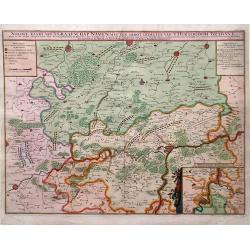
Nieuwe Kaart van't Graafschap Namen, met een Groot Gedeelte van't Hertogdom Brabant. . .
Map of Belgium with beautiful, vibrant original color. Shows military positions in the Siege of Namur by Louis XIV's French army during the Nine Years' War. An inset show...
Place & Date: Amsterdam, 1692
Selling price: $73
Sold in 2010
Estat et seigneurie de l'evesche de Lyege. . .
Fine map in the vicinity of Liège with a decorative title and scale cartouche.Alexis-Hubert Jaillot (1632-1712), was a French cartographer. He joined the Sanson heirs an...
Place & Date: Amsterdam, 1692
Selling price: $150
Sold in 2011
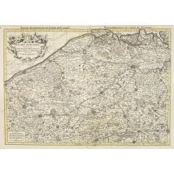
Le Comte de Flandre / divise en ses / Chastellenies et Balliages &c / le Franc de Bruges et le Pays de Waes. A Paris, 1696.
Alexis-Hubert Jaillot (1632-1712), French cartographer. He joined the Sanson heirs and redrew Nicolas Sanson's maps on a larger scale. 'Atlas Nouveau' (1674), sea-atlas '...
Place & Date: Amsterdam, 1696
Selling price: $250
Sold in 2010
Comte de Namur Dresse sur les Memoires les Plus Nouveaux Presente a sa Majeste.
A fine, large, and detailed map of the area around the city of Namur in the province of Wallonia, in southern Belgium.From Jaillot’s “Nouvelle Introduction a le Geogr...
Place & Date: Paris, 1696
Selling price: $26
Sold in 2017
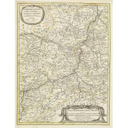
Le Comte de Haynaut Divise en Chattellenies Ballages Prevoste's & c.
A fine detailed map of the Haymaut region of Belgium. It spans the area between Chatellenie to Brabant. Printed from two joined plates, by Jaillot after Sanson. Alexis-Hu...
Place & Date: Paris, 1696
Selling price: $172
Sold in 2018
Marchesato del sacro impero e signoria di Malines . . .
Large-folio map of the region around the Brabant cities of Leuven, Brussels, Mechelen, Antwerp and Dendermonde. Richly decorated with cartouches and coats of arms.Vincenz...
Place & Date: Venice, 1696
Selling price: $85
Sold in 2020
Vesvocato di Liege. . .
A beautiful and flamboyantly engraved large-scale map of the region Liege, Maastricht, Hasselt in Belgium and the Nethermlands.In the lower left the title cartouche with ...
Place & Date: Venice, 1698
Selling price: $85
Sold in 2019
Contado di Namur . . .
A beautiful and flamboyantly engraved large-scale map of Namur region in central Belgium. Includes several coats of arms.On verso a map of the Malay Peninsula as far sout...
Place & Date: Venice, 1698
Selling price: $100
Sold in 2019
Quartier de Louain???
Unique map of Brabant, Belgium. Louain or Louen or Leuven is the capital of the province of Flemish Brabant in Belgium. It is located about 25 kilometres east of Brussel...
Place & Date: Brabant, ca. 1700
Selling price: $90
Sold in 2018
Flandriae Comitatus Pars Batava.
Fine detailed map of Flanders featuring the cities of Middleburg, Hulst, Dendermonde and Gent. It has very precise original coloring. By Visscher in Amsterdam.Nicolaes ...
Place & Date: Amsterdam, c1700
Selling price: $125
Sold in 2020
La Flandre espagnole, et la Flandre hollandoise..
Detailed map of Flanders distinguishing the part in the past under Spanish domination from that under Dutch domination. Showing Bruges, Gand, Antwerp.Engraved by F.Starck...
Place & Date: Paris 1703
Selling price: $102
Sold
Carte du Comte de Flandre Dressee Sur Differens Morceaux LevezSur Les Lieux Fixez Par Les Obfervations A Aftonomiques.
A map of Flanders by Guillaume De L'Isle depicting major cities such as Conde and Altervelt, and major river systems. In the bottom right hand corner lies a very detailed...
Place & Date: Paris, 1704
Selling price: $65
Sold in 2010
Carte du Comté de Flandre. . .
Map of Flanders. The publishers address in the title cartouche partly erased. Some manuscript annotations in brown pen and ink in the margin and in the map. Engraved by L...
Place & Date: Paris, c.1704
Selling price: $30
Sold in 2010
Carte du Comté de Flandre. . .
Map of Flanders, with the address : Chez l’Auteur sur le Quai de l’Horloge (address erased after Horloge). Avec privilege pour vingt ans, 1704." Guillaume de l'I...
Place & Date: Paris, 1704
Selling price: $75
Sold in 2022
Les environs de NAMUR, de Huy et de Charle-roy..
Detailed map of the region of Namen, by Nicolas De Fer, who was a royal French geographer.
Place & Date: Paris 1705
Selling price: $20
Sold
Les environs de DINANT, de Philippeville et de Charlemont..
Detailed map of the region of Dinant, by Nicolas De Fer, who was a royal French geographer.
Place & Date: Paris 1705
Selling price: $20
Sold
La Flandre espagnole, et la Flandre hollandoise ...
Detailed map of Flanders distinguishing the part in the past under Spanish domination from that under Dutch domination, from De Fer's Atlas Curieux.Showing Bruges, Gand, ...
Place & Date: Paris, 1705
Selling price: $150
Sold in 2009
Les Environs de Namur, de Huy et de Charle-Roy and Les Environs de Dinant, de Philippeville et de Charlemont (2 Maps).
Two matching maps of southern Belgium by N. de Fer in 1705. Each features a decorative title cartouche. They centre on the Namur and Dinant regions of Belgium.Nicolas de ...
Place & Date: Paris , 1705
Selling price: $45
Sold in 2018
Nouvelle Carte Du Comte de Flandre.
An interesting map of Flanders first drawn by Daniel de la Feuille in 1706. A detailed map of the county of Flanders stretching from Dunkirk to the Schelde estuary. This ...
Place & Date: Paris, 1706
Selling price: $60
Sold in 2018
La Flandre Gallicane, Comprennant Le Chastellenie...
Small but very detailed map of the French and Belgian border region, with the fortified cites of Douai, Lille, Courtray, and Tournai. The map is embellished with an attra...
Place & Date: Amsterdam, c1706
Selling price: $11
Sold in 2013
Partie de la Flandre Occidentale. . .
Very detailed map of western Flanders between Calais, Dunkerque, Omer, Ypres and Oostende. Shows many even smallest villages, roads, canals, settlements and fortification...
Place & Date: Amsterdam, c1706
Selling price: $81
Sold in 2013
Nouvelle carte du Comte de Flandre.
A detailed map of the county of Flanders stretching from Dunkirk to the Schelde estuary. Surrounding the map are twelve towns plans: Berg St. Vinoc, Dendermonde, Ostende,...
Place & Date: Amsterdam, 1706
Selling price: $93
Sold in 2013
Carte Particuliere des Environs de Lier et d'Une Partie de la Campine.
Interesting map of the region of northern Belgium surrounding the town of Lier, including the Walloon region of La Bruyere (Bruyere) and part of the Campine region of nor...
Place & Date: Brussels, 1706
Selling price: $65
Sold in 2010
Carte des Comtez de Hainaut de Namur et de Cambresis. . .
Finely detailed map of the Walloon region, the regions of Hainaut, Namur and Cambresis, of southern Belgium by Guillaume de L'Isle. Cities, villages, rivers, forests and ...
Place & Date: Paris, 1706
Selling price: $65
Sold in 2010
Carte des Comtez de Hainaut de Namur et de Cambresis.
Pleasing copper engraved, hand-colored map of Belgium and France featuring the cities of Douai, Landrecy, Namur, Brussels and Mons. Three decorative figural cartouches wi...
Place & Date: Paris, 1706
Selling price: $25
Sold in 2016
Diocesis Leodiensis Accurata Tabula.
A stunning map of Leodiensis, or the vicinity of Liege, Belgium, first drawn by Daniel de la Feuille in 1706. It depicts from Hoey in the west, eastwards as far as Peer, ...
Place & Date: Paris, 1706
Selling price: $12
Sold in 2018
Theatre de la guerre en Flandres.
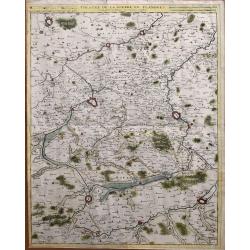
Unusual large-scale map of the French-Belgium border. Shows the area from Douai and Valenciennes to Ypres/Ieper and Courtrai/Kortrijk. Includes Roubaix, Lille, and Tourna...
Place & Date: Brussels, 1712
Selling price: $81
Sold in 2014
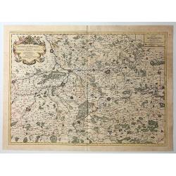
Le Comté de Haynaut, Divisé en Chatellenies, Balliages, Prevostés. Le Cambresis. Dédié au Roy . . .
Map of the county of Hainaut with its most important cities, Mons (Bergen), Cambrai (Kamerijk) and Charleroi. Also including Hainaut, who territorially is divided between...
Place & Date: Paris, 1720
Selling price: $75
Sold in 2010
Partie septentrionale du duche de Brabant. . .
Detailed map prepared by Alex-Hubert Jaillot of the Dutch province of Brabant with the towns of 's-Hertogenbosch, Eindhoven, Helmond, Tilburg, Breda, etc. Also including ...
Place & Date: Paris, 1720
Selling price: $50
Sold in 2015






![Nobilibus Amplissimis Q. Dominis D. Georgio De La Faille Toparchae Deneuele &c. Praetori Totiq. Colllegio Supremae Curiae Feudalis Regiae Veteris Burgi Gandensis [Gent]](/uploads/cache/38732-250x250.jpg)
