Browse Listings in Europe
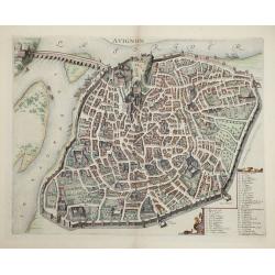
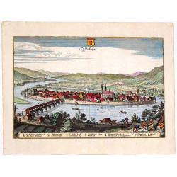
Avignon.
This rare bird's-eye plan depicts Avignon situated on both banks of the Sorgue River. A key locating 45 important sites is enclosed in the decorative cartouche at bottom ...
Place & Date: Amsterdam, 1660
Selling price: $600
Sold in 2014
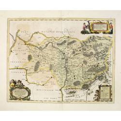
Ducatus Silesiae Grotganus cum Districtu Episcopali Nissensi Delineatore Iona Sculteto, Silesio.
Attractive old colored engraved map of Upper Silesia prepared by Joanus Scultetus, a Silesian cartographer (1603-1664) and published by J. Janssonius. Showing the area ar...
Place & Date: Amsterdam, 1660
Selling price: $450
Sold in 2015
Austria Archducatus.
Quaint map of the Duchy of Austria along the Danube River. Features block cartouche.Matthäus Merian (1593 – 1650) was a Swiss -born engraver who worked in Frankfurt fo...
Place & Date: Frankfurt, 1660
Selling price: $40
Sold in 2016
Palatinatus Rheni.
Striking map of the Palentine region of Germamy featuring the cities of Worms, Heydleberg and Kobelberg. A wonderful coat of arms cartouche with three lions decorates the...
Place & Date: Frankfurt, 1660
Selling price: $69
Sold in 2015
Secfingen.
Hand-colored copper engraved aerial view of Sefingen, Austria. Featured places on the view include Schonawer hoffe, sreinerne Rhein bruck and Gallen Kirchl on the Rhenus ...
Place & Date: Frankfurt, 1660
Selling price: $42
Sold in 2013
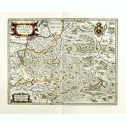
Russiae, vulgo moscoviae dictae, pars occidentalis.
A finely engraved depiction of the area from Estonia to Moscow. The map is based on the travels of Isaac Massa, who visited Moscow in the early 1600s and thus was in the ...
Place & Date: Amsterdam, ca. 1660
Selling price: $600
Sold in 2014
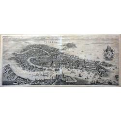
Venetia.
This famous bird's-eye town view of Venice and the lagoon area (Murano, Burano, Torcello etc.) is considered one of the influential of the time. It depicts in details the...
Place & Date: Frankfurt, 1660
Selling price: $2000
Sold in 2014
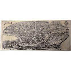
Roma.
This large, famous bird's-eye town view of Rome is considered one of the most influential of the time.It depicts in details the city's architectural landmarks. Extremely ...
Place & Date: Frankfurt, 1660
Selling price: $950
Sold in 2014
Vienne.
Striking view of the town and harbor of Vienne, France. Matthaus Merian (1593-1650) was a Swiss engraver and one of the most prolific engraver's of town views in the 17t...
Place & Date: Frankfurt, 1660
Selling price: $125
Sold in 2015
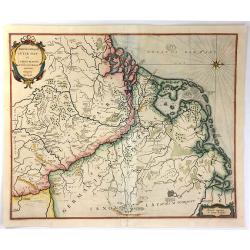
Patriae Antiuae Inter Iuly et Caroli Magni Caesarium Romanorum Tempora Descriptio
An iInteresting map by Jan Janssonius of the “Low Countries and Northern Germany”. The compass rose orients this map with north to the right. The map describes the p...
Place & Date: Amsterdam, 1660
Selling price: $67
Sold in 2016
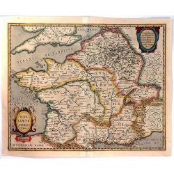
Galliae Veteris Typus.
A pleasing Latin map of France during Roman times, based on Ortelius' map, which in turn was based on ancient geographical sources. The map is filled with detail and anci...
Place & Date: Amsterdam, 1660
Selling price: $41
Sold in 2016
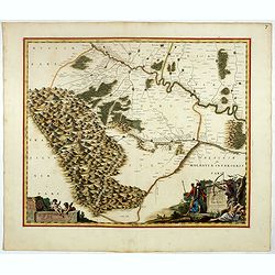
Ukrainae pars quae Pokutia Vulgo dicitur.
This is a scarce Joan Blaeu first edition of the map of the western parts of Ukraine and vicinity covering from the Carpathian Mountains east along the Dniester River eas...
Place & Date: Amsterdam, ca. 1660
Selling price: $3500
Sold in 2017
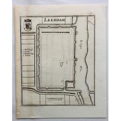
Leerdam.
Small map of fortified Leerdam, located in Gelderland, Holland.
Place & Date: Frankfurt, ca. 1660
Selling price: $8
Sold in 2017
Bommel.
Den Bommel is a village in the Dutch province of South Holland. It is a part of the municipality of Goeree-Overflakkee. This town view is detailed especially in regard to...
Place & Date: Frankfurt, 1660
Selling price: $145
Sold in 2018
Sueonia Proprie Sie Dicta.
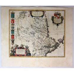
A very decorative map of eastern Sweden. Several beautiful cartouches are displayed. The left side is adorned with six municipal code of arms. There are a total of six pu...
Place & Date: Amsterdam, 1660
Selling price: $375
Sold in 2019
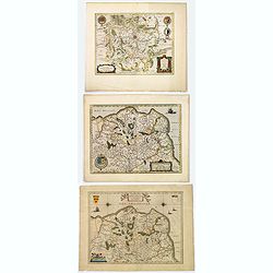
Comitatuum Boloniae et Guines Descriptio. / Bolonia & Guines Comitatus. / Territorium Metense . .
[Three maps] The first of this handsome set of maps has west is orientated to the top. Very fine copper engraved map by one of the acknowledged masters of seventeenth cen...
Place & Date: Amsterdam, ca. 1620 - 1660
Selling price: $70
Sold in 2018
Delflandia, Schielandia. . .
This detailed road map shows the estuary of the River Maas and extends.
Place & Date: Amsterdam, ca. 1660
Selling price: $50
Sold in 2017
Pars Flandriae Teutonicae.
A fine map of Flemish Flanders with the city of Dunkerque shown and a huge fleet of 39 ships. The interior is well engraved with forests and towns, and extends to the Lys...
Place & Date: Amsterdam, 1660
Selling price: $52
Sold in 2018
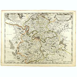
Diocese, Prevoste, et Eslection de Paris . . .
A good engraved map of Ile de France region, centered on Paris.
Place & Date: Paris, 1660
Selling price: $75
Sold in 2020
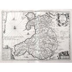
Cambriae Typus Auctore Humfredo Lhuydo.
Fantastic early map of Wales with sailing ships, a sea monster, compass rose, several putti, and an ornamental title cartouche. The map shows numerous towns, rivers, hill...
Place & Date: Amsterdam, ca. 1660
Selling price: $92
Sold in 2018
Ukrainae pars quae Kiovia Palatinatus.
This is a scarce Joan Blaeu first edition of the map of the Kiev region of Ukraine and vicinity. Signature of Joan Blaeu in lower part of the map. This map was originally...
Place & Date: Amsterdam, ca. 1660
Selling price: $4000
Sold
Delflandia, Schielandia. . .
This detailed road map shows the estuary of the River Maas and extends from 's-Gravenhage to Gouda in the north and from Ouddorp to Steenbergen in the south. Cities, such...
Place & Date: Amsterdam, ca. 1660
Selling price: $95
Sold in 2018
Stockholm.
An excellent and rare copperplate view of the Swedish capitol from the Afbeeldinghe der voornaemste steden van Europa.It shows a group of wealthy noblemen in the foregrou...
Place & Date: Amsterdam, ca 1660
Selling price: $150
Sold in 2018
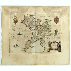
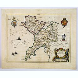
Comitatus Caernarvoniensis, Vernacule Carnarvonshire. Et Mona insula Vulgo Anglessey.
The detailed and decorative Blaeu double-page map of Caernarvon & Anglesey, with a decorative title cartouche depicting a farmer with his harvest, royal armorials and...
Place & Date: Amsterdam, ca 1660
Selling price: $55
Sold in 2019
Dioecensis Stavangriensis. . .
A fine and decorative map of southern Norway from 61 deg. N. with Oslo, Stavanger and Bergen prominently shown. The map presents a vivid view of the fjords and mountains ...
Place & Date: Amsterdam, ca 1660
Selling price: $110
Sold in 2019
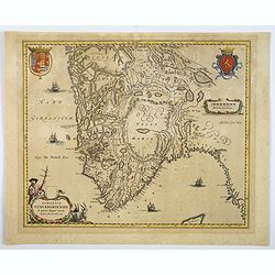
Caliaris Sardiniae. Primaria Civitas.
A delightful small town plan of the Sardinian capital city of Cagliari by Blaeu, published in the mid-seventeenth century. The plan shows inner and outer fortified city w...
Place & Date: Amsterdam, ca 1660
Selling price: $125
Sold in 2019
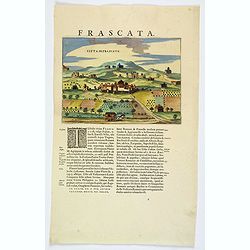
Citta di Frascate.
A delightful small town view of the central Italian city of Frascati by Blaeu, published in the mid-seventeenth century. The view shows a small walled town, with building...
Place & Date: Amsterdam, ca 1660
Selling price: $60
Sold in 2021
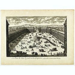
La Place de Loüis le grand ou des conquestes.
View of "La Place de Loüis le grand ou des conquestes" in Paris, published by I. Mariette. Showing the statue of Louis XIV in the center.
Place & Date: Paris, 1660
Selling price: $150
Sold
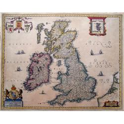
Nieuwe en Perfeckte Caerte van Engelandt Schotlandt en Yerlandt. . .
A fine and decorative map of the British Isles. Embellished with sailing ships, coats of arms, and an inset map of the Orkney Islands.Hugo Allard (1625-1691) was a capabl...
Place & Date: Amsterdam, ca 1660
Selling price: $200
Sold in 2019
St. Tropez.
An early copper engraved plan of Saint-Tropez. Shows a few buildings, the layout of the streets, the city walls, and the harbour with sailing ships.
Place & Date: Frankfurt, ca 1660
Selling price: $27
Sold in 2019
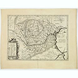
Vetus Descriptio Daciarum Nec non Moesiarum. . .
A decorative map of ancient Dacia and Moesia, namely today's Romania, with Serbia and part of Bulgaria, With a beautiful cartouche. Signed lower part: Petrus Kaerius Cael...
Place & Date: Amsterdam, ca 1660
Selling price: $125
Sold in 2020
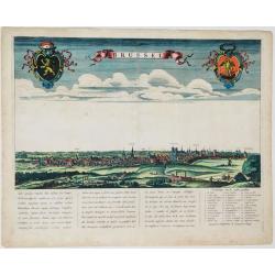
Brussel.
Panoramic view of the city of Brussels seen from the South. Title in a banner at top centre, left and right the coats-of-arms of Brabant and Brussels. Underneath a poetic...
Place & Date: Amsterdam, ca. 1660
Selling price: $1175
Sold in 2021
[Lot of 5 maps of Greece]. Candia olim Creta.
Johannes Blaeu's attractive map of Crete. Johan Blaeu succeeded his father Willem when the latter died in 1638. Johan led the Blaeu firm to its greatest achievement the...
Place & Date: Amsterdam, 1660
Selling price: $400
Sold in 2023
[Lot of 3 maps] Candia olim Creta.
Johannes Blaeu's attractive map of Greta. Johan Blaeu succeeded his father Willem when the latter died in 1638. Johan led the Blaeu firm to its greatest achievement the '...
Place & Date: Amsterdam, c. 1660
Selling price: $155
Sold in 2022
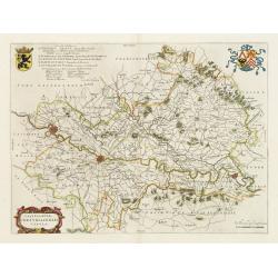
Castellaniae Corturiacensis Tabula.
With a dedication by A.Sanderus to the nobles and the magistrates of the Castellany. Very detailed map including the towns of Menen, Tielt, Harelbeke, Cortryck and Deinze...
Place & Date: Amsterdam, 1661
Selling price: $100
Sold in 2022
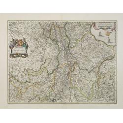
Geldria Ducatus et Zutphania Comitatus.
Map of Gelderland orientated west at the top, including Northern Limburg, eastern part of Brabant, Veluwe and Zutphen. Including the towns of Utrecht, Enschede, Rhunbeck,...
Place & Date: Amsterdam, 1661
Selling price: $400
Sold in 2009
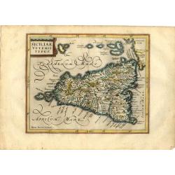
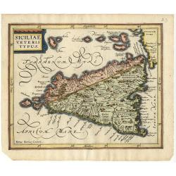
Siciliae Veteris Typus
Charming small map of ancient Sicily based largely on Ortelius and Gastaldi. Engraved by Petrus Kaerius and embellished with a strapwork title cartouche and decorative ca...
Place & Date: Amsterdam, 1661
Selling price: $170
Sold in 2008
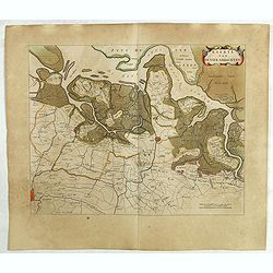
Delflandia, Schielandia.
Based ultimately on the large wall map by Balthazar Florisz van Berckenrode(1620-21), this finely engraved map shows the estuary of the River Maas and includes the area f...
Place & Date: Amsterdam 1661
Selling price: $601
Sold
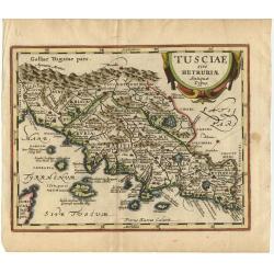
Tusciae sive Hetruriae Antiquae Typus.
A very attractive map of ancient Tuscany after Ortelius, whose map was based on Bellarmati's map supplemented by classical sources. Includes numerous small islands off th...
Place & Date: Amsterdam 1661
Selling price: $180
Sold
Graecia, Sophiani.
Charming small map of ancient Greece based on the map by Nikolaus Sophianos. Embellished with two strapwork cartouches. Engraved by Petrus Kaerius.
Place & Date: Amsterdam 1661
Selling price: $150
Sold
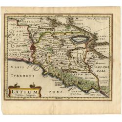
Latium Vestini, Campani
A fine small map of Italy's central-west coast, including Rome. Extends to include the Lago di Bracciano and down the coast to Gaeta. Good topographical detail, including...
Place & Date: Amsterdam 1661
Selling price: $80
Sold
Daciarum Moesiarum que, Vetus Descriptio
Handsome small map of the ancient region of Romania and Bulgaria based on Ortelius' map of the same title. Filled with old place names and embellished with a fine title c...
Place & Date: Amsterdam 1661
Selling price: $80
Sold
Germania.
Small map covering all of central Europe. The map is engraved with detail of rivers, mountains, and forests. Decorative title cartouche. At left of Holland a sailing ship...
Place & Date: Amsterdam 1661
Selling price: $70
Sold
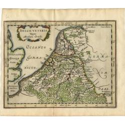
Belgii Veteris Typus Abrahami Ortelii.
Small map of this historic region with many ancient place names based on the map of Abraham Ortelius. The map is decorated with a delicate title cartouche.
Place & Date: Amsterdam 1661
Selling price: $100
Sold
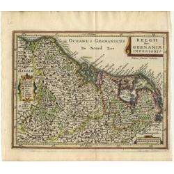
Belgii sive Germaniae Inferioris
Small map engraved by Petrus Kaerius, this map is filled with mountains, cities and villages. The map is oriented with north at right and is decorated with strapwork titl...
Place & Date: Amsterdam 1661
Selling price: $110
Sold
Benevole Lector, in hac tabula Urbis Moskuae.. [Moscow]
Rare from his atlas Major.An extremely fine plan of Moscow, which is likely to have been based upon the survey ordered by Boris Fyodorovich Godunov. With a 60-point key, ...
Place & Date: Amsterdam 1661
Selling price: $1850
Sold
Insular Aliquot Aegaei Maris Antiqua Descrip.
A small map of Mediterranean islands based in part on Ortelius. The central map is of the Greek island Euboea and is surrounded by small maps of other islands. This compo...
Place & Date: Amsterdam 1661
Selling price: $80
Sold
Siciliae veteris typus.
A small map of ancient Sicily based largely on Ortelius and Gastaldi. Engraved by Petrus Kaerius and embellished with a strapwork title cartouche.
Place & Date: Amsterdam 1661
Selling price: $100
Sold
Una Carta del mare Oceano, che comincia con il capo S. Vinzensio in Portugallo, è Finisce con ll stretto de Gibilterra.
Robert Dudley (1574-1649). English geographer. Lived for the greater part in Florence in exile. His atlas 'Arcano del Mare' was the first English sea-atlas, the first sea...
Place & Date: Florence, 1661
Selling price: $1250
Sold
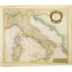
Italia Nova.
Rare map of Italy including only the north-eastern part of Sicily. Ornated with a large title cartouche.From a book by Cluver Introductionis in Universam Geograpicam publ...
Place & Date: Wolfenbüttel 1661
Selling price: $150
Sold
Hellas seu Graecia Universa.
Rare map of Greece, from a book by Cluver Introductionis in Universam Geograpicam published by Johannis Bunonis.A first state.
Place & Date: Wolfenbüttel 1661
Selling price: $50
Sold
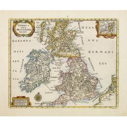
Veteris et Novae Britanniae Descriptio.
Rare map of the British Isles, with an inset map of the Orkney Islands in the upper right corner. Ornated with title cartouche, scale cartouche and compass rose.From a bo...
Place & Date: Wolfenbüttel 1661
Selling price: $105
Sold
Carta particolare del mare Mediterraneo che comincia con il capo Teti è Finisce con Folselli in Barberia.
Robert Dudley (1574-1649). English geographer. His rare atlas 'Arcano del Mare' was the first English sea-atlas, the first with charts -all in Mercator-projection- of the...
Place & Date: Florence, 1661
Selling price: $350
Sold
Daciarum Moesiarum que, Vetus Descriptio.
Handsome small map of the ancient region of Romania and Bulgaria based on Ortelius' map of the same title. Filled with old place names and embellished with a fine title c...
Place & Date: Amsterdam, 1661
Selling price: $100
Sold in 2008
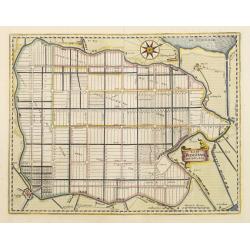
Agri Biemstrani Descriptio a L.I.S.
Detailed map of the polder Beemster in Noord Holland. Including the towns of Purmerend, De Ryp, Oudendijk, etc.
Place & Date: Amsterdam, 1661
Selling price: $275
Sold in 2019
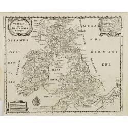
Veteris et nova Britannia descriptio.
Interesting map of the British islands from a German edition of Philipp Clüver's famous Introductionis in Universam geographicam, first published in Leiden in 1624. Phil...
Place & Date: Wolfenbüttel, 1661
Selling price: $50
Sold in 2008
Hodiernae Belgicae sive Germaniae Infezrioris Tabula.
Interesting map of the Low Countries from a German edition of Philipp Clüver's famous Introductionis in Universam geographicam, first published in Leiden in 1624. Philip...
Place & Date: Wolfenbüttel, 1661
Selling price: $50
Sold in 2008
Sarmatia et Scythia Russia et Tartaria Europaa.
Interesting map of Scythia and Sarmatia from a German edition of Philipp Clüver's famous Introductionis in Universam geographicam, first published in Leiden in 1624. Phi...
Place & Date: Wolfenbüttel, 1661
Selling price: $30
Sold in 2008
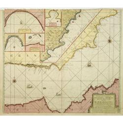
Pascaart van de Zee Kusten van Granada en Murcia..
Decorative and uncommon chart including the African and the Spanish coast. In top four insets of Almay, Buzema, Zasarinos Islands and Cartagena. A fifth large inset cover...
Place & Date: Amsterdam, 1661
Selling price: $900
Sold in 2010
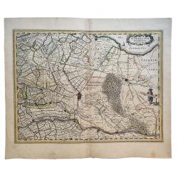
Ultraiectum Dominium.
Based on the map by B.F.van Berckenrode (1620-21).
Place & Date: Amsterdam, 1661
Selling price: $200
Sold in 2021
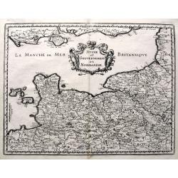
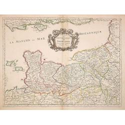
Duche et Gouvernement de Normandie. . .
Fine map of Normandy.This edition carries the date 1661, engraved by R.Cordier.Nicolas Sanson was to bring about the rise of French cartography, although the fierce compe...
Place & Date: Paris, 1661
Selling price: $300
Sold
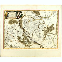
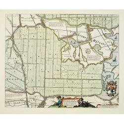
Caerte van de Scher-meer Alsoo deselve is Bedyckt, ende by Cavels van 15 Morgen suyver landt door lotinge uytgedelt, op den 25 October Anno 1635, ende aldus met groote verbeteringe int licht gegeven.
Attractive map of the polder Schermer near Alkmaar by Cornelis Ian allers Bogaert and published by Blaeu. At the lower right side a coat of arms of Schermer. In the lower...
Place & Date: Amsterdam, 1661
Selling price: $400
Sold in 2019
Creta
A small historical map of Crete with a simple strapwork title cartouche. The map is based on the cartography of Ubbo Emmius, who worked for Hondius and Jansson, and engra...
Place & Date: Amsterdam 1661
Selling price: $80
Sold in 2014
Burtoniensis ecclesiae, (in agro Staffordiensi)
A very decorative copper engraving of Burton-upon-Trent, England, engraved by Hollar, from Dugdale's book, published in London in 1661. Decorated with three beautiful car...
Place & Date: London, 1661
Selling price: $20
Sold in 2016
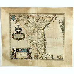
Nordlandiae et quibies Gestricia et Helsingicae regiones.
It shows the east central part of Sweden Gästrikland and Hälsingland). The body of water to the east is the Gulf of Bothnia.The map is enhanced by a number of decorativ...
Place & Date: Amsterdam, 1661
Selling price: $52
Sold in 2019
Das Wiflispurgergow.
A lovely detailed map of South-western Switzerland after Gerhard Mercator's map of the same. With an ornamental title cartouche and Dutch text on the verso. It shows Gene...
Place & Date: Amsterdam, ca 1661
Selling price: $21
Sold in 2019
Kaerte van de vier ambachten.
Uncommon map of the ‘Vier Ambachten’ in Zeeuws-Vlaanderen. The map covers the area of IJzendijke, Biervliet, Sas van Gent, Axel, Hulst, Lillo and parts of Zuid-Bevela...
Place & Date: Amsterdam, 1661
Selling price: $26
Sold in 2019
Tractus Borysthenis vulgo Dniepr et Niepr Dicti, à Kiovia ufque ad Bouzin.
This superb map shows the upper part of the Dnieper River in two horizontal strips, the upper map with a compass rose orienting the map, west to the top. It is richly emb...
Place & Date: Amsterdam, 1661
Selling price: $279
Sold in 2020
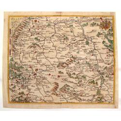
[Poland, region between Glogaw and Wartenberg] Baronatus Carolato Bethaniensis. . .
This superb map including the river Oder with Glogów, Nowa Sól and Wartenberg in southwestern Poland. Glogów County, in Lower Silesian Voivodeship, was previously in L...
Place & Date: Amsterdam, 1661
Selling price: $150
Sold in 2021
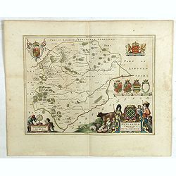
Rutlandia Comitatus. Rutland Shire.
One of the most decorative maps of the county Rutlandshire, with armorials, a scale cartouche and a rustic title cartouche It is richly embellished with an elaborate titl...
Place & Date: Amsterdam, 1661
Selling price: $45
Sold in 2020
Comitatus Caernarvoniensis, Vernacule Carnarvon-Shire et Mona Insula Vulgo Anglesey.
One of the most decorative maps of Caernarvonshire and Anglesey with present-day Gwynedd and Mon. The map is embellished with the Royal Arms, the crest and feathered crow...
Place & Date: Amsterdam, 1661
Selling price: $45
Sold in 2020
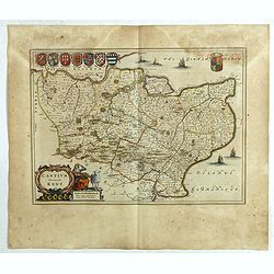
Cantium Vernacule Kent.
of the county of Kent. The map is embellished with the Royal Arms, the crest and feathered crown of the Prince of Wales. The decorative title and scale cartouche features...
Place & Date: Amsterdam, 1661
Selling price: $120
Sold in 2020
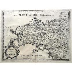
Duche et Gouvernement de Bretagne.
An unusual map published shortly after the very similar map by Sanson. Very detailed, filled with place names, rivers, woods, islands, etc. From Martin Zeiller's Topograp...
Place & Date: Frankfurt, ca 1661
Selling price: $81
Sold in 2019
Duche et Gouvernement de Normandie.
A fine map published in Martin Zeiller's Topographia Galliae. Very detailed, filled with place names, rivers, woods, islands, etc. Extends just until Paris, includes the ...
Place & Date: Frankfurt, ca 1661
Selling price: $82
Sold in 2019
Londinum London.
A delightful and attractive small 17th century 'bird's-eye plan of London, by Rutger Hermannides; from his Britannia Magna sive Angliae, Scotiae, Hiberniae & Adjacent...
Place & Date: Amsterdam, 1661
Selling price: $160
Sold in 2022
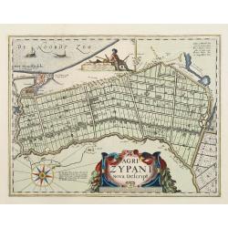
Agri Zypani Nova Descript.
Fine map of the region of the Zype. From a Latin text edition of the Atlas Maior.The copperplate was originally by Petrus Kearius, but was considerably revised by Joan Bl...
Place & Date: Amsterdam, 1662
Selling price: $500
Sold in 2011
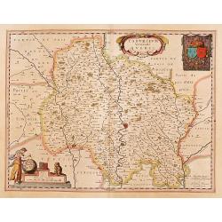
Cadurcium vernaculé Querci.
Detailed map of a province of France by one of the most famous map publisher. Centered on Cahors. In the lower left corner, a colored scale cartouche surmounted by a monk...
Place & Date: Amsterdam 1662
Selling price: $200
Sold
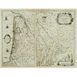
Carte du Bourdelois../ Principatus Benearnia..
Two maps on one sheet. The left map is centered on Bordeaux. Depicting The Garonne, The Arcachon basin and the country of the Landes. Also showing Bayonne. Embellished wi...
Place & Date: Amsterdam 1662
Selling price: $120
Sold
Paris.
Extremely rare plan of Paris prepared by Jean Sauvé. Jean Sauvé used the earlier plans of Merian, Tavernier, Jollain, Bertrant, Huart and Lagniet. However this edition ...
Place & Date: Paris, 1662
Selling price: $2400
Sold
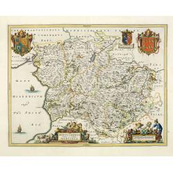
Montgomeria Comitatus et Comitatus Mervinia.
Double-page map of Montgomery shire and Merionethshire counties, Eastern and Western Wales. With elaborate title cartouche, distance scale and coats of Arms, including th...
Place & Date: Amsterdam, 1662
Selling price: $200
Sold in 2013









![[Lot of 5 maps of Greece]. Candia olim Creta.](/uploads/cache/IMG_0748-250x250.jpg)
![[Lot of 3 maps] Candia olim Creta.](/uploads/cache/IMG_9432-250x250.jpeg)




![Benevole Lector, in hac tabula Urbis Moskuae.. [Moscow]](/uploads/cache/02033-250x250.jpg)











![[Poland, region between Glogaw and Wartenberg] Baronatus Carolato Bethaniensis. . .](/uploads/cache/42503-250x250.jpg)
