Browse Listings in Europe
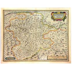
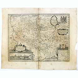
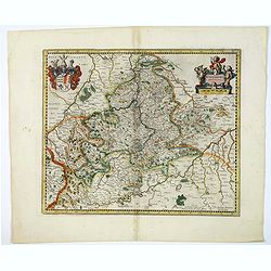
Westphalia Ducatus.
A fine and detailed engraved map of Westphalia, produced by the famous Dutch Blaeu Family. The mountainous topography is graphically depicted, and several small coats of ...
Place & Date: Amsterdam, ca. 1640
Selling price: $41
Sold in 2016
Episcopatus Hildesiensis Descriptio Novissima..
This is Jansson's attractive map centered on the city of Hildesheim. The map was prepared by Joannes Michael Gigas (1580-1650+), a doctor, mathematician and geographer. T...
Place & Date: Amsterdam, ca. 1640
Selling price: $1
Sold in 2016
Osnabrugensis episcopatus
A beautiful map of Münster centered on the city of Osnabruck. Prepared by Joannes Michael Gigas (1580-1650+), a doctor, mathematician and geographer. Showing an inset wi...
Place & Date: Amsterdam, 1640
Selling price: $16
Sold in 2016
Tabula Russiae.
An early, very attractive map of the region. It includes Scandinavia, as well as the Black and Caspian Seas. Based on Hessel Gerritsz' rare and significant map of Russia,...
Place & Date: Frankfurt, 1640
Selling price: $450
Sold in 2016
Hollandia.
The Allardt edition of Blaeu's map of Holland, first published in 1604, being the oldest Dutch map to include town views as decorative borders. The top and bottom borders...
Place & Date: Amsterdam, 1640
Selling price: $3750
Sold in 2024
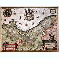
Nova illustri simi ducatus Pomeraniae..
Very beautiful and detailed map of northern Poland. The map is surmounted by an enormous coat of arms surrounded by two figures. In the left upper part, a circular cartou...
Place & Date: Amsterdam, 1640
Selling price: $290
Sold in 2019
Secunda Pars Brabantiae cuiuc urbs primaria Bruxellae.
A clean example of Blaeu's map of the region of Brabant with Bruxelles, Mechelen and Louven. The map has a decorative cartouche, four coats of arms, compass rose and a mi...
Place & Date: Amsterdam, 1640
Selling price: $165
Sold in 2017
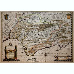
Andaluzia continens Sevillam . . .
ENGLISH TEXT EDITION Showing Gibraltar and the province of Andalusia and the city of Seville. Depicted also are the Straights of Gibraltar, know in classical times as the...
Place & Date: Amsterdam, 1640
Selling price: $400
Sold in 2018
Mons.
One of the finest and most sought-after view of Mons. The format emphasizes the layout of the city with buildings, churches, gardens, streets, walls, bridges and fortific...
Place & Date: Amsterdam, 1640
Selling price: $40
Sold in 2018
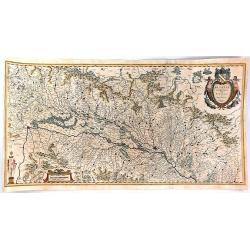
Alsatia Landgraviatus, cum Suntgoia et Brisgoia,. .
A large, detailed, and handsome map of Alsace, a famous wine region of France, based on the work of Gerard Mercator. It covers the region including the Rhine from Granvil...
Place & Date: Amsterdam, 1640
Selling price: $50
Sold in 2016
Diocese de Rheims, et le pais de Rethel...
Attractive map of the department in the Champagne-Ardenne region of France. Centred on Reims city. Many towns, forests, and waterways are identified. Decorated with the b...
Place & Date: Amsterdam, ca. 1640
Selling price: $12
Sold in 2016
Fionia vulgo Funen.
A very decorative, large map of Funen in Denmark from J. Blaeu. Depicted are Funen, Als and Langeland. With one decorative cartouche and scale.
Place & Date: Amsterdam, 1640
Selling price: $100
Sold in 2023
Flandria et Zeelandia Comitatus.
A decorative, large map including Flanders and Zeeland. The map, originally engraved in 1641 for Sanderus 'Flandria Illustrata', was used at different times in Blaeu's va...
Place & Date: Amsterdam, 1640
Selling price: $60
Sold in 2018
Carte Generale des Royaume d'Angleterre Ecosse et Irlande...
A striking first edition copperplate map of the British Isles by Sanson, on his own slightly eccentric projection. Engraved by Melchior Tavernier in Paris in 1640. Featur...
Place & Date: Paris, 1640
Selling price: $376
Sold in 2017
Sclavonia, Croatia, Bosnia cum Dalmatiae parte.
An attractive map of the recently troubled Balkan countries of Bosnia, Croatia & Slovenia, by Blaeu after Gerard Mercator. It was quite unusual for Blaeu to credit Me...
Place & Date: Amsterdam, 1640
Selling price: $105
Sold in 2018
Gothia.
An attractive map of southern part of Sweden including Stockholm, Uppsala, Gothenburg, Malmö. But also Copenhagen and Oslo. A decorative title cartouche and a number of ...
Place & Date: Amsterdam, ca 1640
Selling price: $200
Sold in 2020
Europa Nova Delineatio.
This lovely map is based on one of the most famous 17th Century maps of the continent of Europe - Blaeu's Europa recens descripta. The map extends to include Iceland and ...
Place & Date: Frankfurt, 1640
Selling price: $175
Sold in 2019
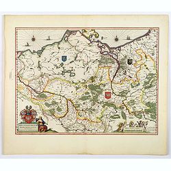
Brandeburgum Marchionatus cum Ducatibus Pomeraniæ et Mekelenburgi.
A highly decorative map of parts of Pomerania, Mecklenburg, Rugia and parts of present day Poland - all with excellent detail of forests, rivers, cities, towns (highlight...
Place & Date: Amsterdam, ca 1640
Selling price: $60
Sold in 2019
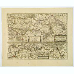
Descriptio fluminum Rheni, Vahalis et Mosae. . .
A fine map of central Netherlands where three great rivers flow to within but a few kilometres of each below Wesel. (The Rhine, the Waal and the Meuse Rivers). The scale ...
Place & Date: Amsterdam, ca 1640
Selling price: $75
Sold in 2019
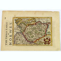
Holsatia.
From the English edition of the miniature Mercator/Hondius atlas, published in Amsterdam in the first half of the seventeenth century. It shows the region of Holstein, si...
Place & Date: Amsterdam, ca 1640
Selling price: $35
Sold in 2021
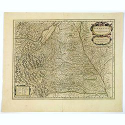
Nova Alemanniae sive Sueviae Superioris Tabula.
A German regional map with west orientated at the top of the map, showing the area between Lech & Danube, with Lake Constance (Boden See) and the Allgau. A detailed m...
Place & Date: Amsterdam, ca 1640
Selling price: $18
Sold in 2021
Wirtenberg Ducatus.
A regional German map of Baden-Wurttemberg, engraved by Mercator and Hondius for the Janssonius atlas of 1638. Covers Offenburg, Sigmarigen, Ulm, Heidelberg, and is cente...
Place & Date: Amsterdam, ca 1640
Selling price: $45
Sold in 2020
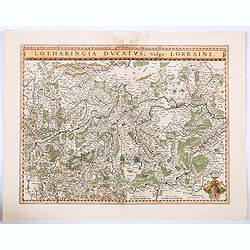
Lotharingia Ducatus vulgo Lorraine.
A very detailed map for his time centered on Nancy, Bayon and Metz, and including the river valleys of the Sar and Moselle. In the lower right-hand corner of the map is a...
Place & Date: Amsterdam, ca 1640
Selling price: $16
Sold in 2021
Holsatia.
From the English edition of the miniature Mercator/Hondius atlas, published in Amsterdam in the first half of the seventeenth century. It shows the region of Holstein, si...
Place & Date: Amsterdam, ca 1640
Selling price: $45
Sold in 2020
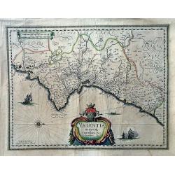
Valentia Regnum; Contestani, Ptol. Edentani, Plin.
A large, very decorative map of Valencia depicting the area from the Cenia River to St. Gines and inland to Murcia and Teruel. The map has many place names with pictorial...
Place & Date: Amsterdam, 1640
Selling price: $152
Sold in 2022
Antiquorum Galliae Episcopatuum...
Rare map of ancient France, including Switzerland and the Low Countries. With a large decorative title cartouche. Includes a large inset map of the British Isles.
Place & Date: Paris, 1640
Selling price: $120
Sold in 2023
Territorio Perugino
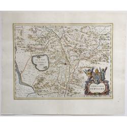
Map of the Perugino region of Umbria, Italy; in the canter its capital Perugia with Lake Trasimeno. Nice cartouche at bottom right with a papal coat-of-arms, a tiara and ...
Place & Date: Amsterdam, 1640
Selling price: $250
Sold in 2022
Tabulae Italiae, Corsicae, Sardiniae, et adjacentium..
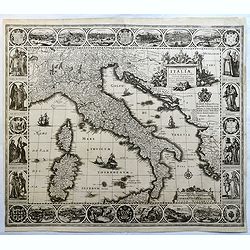
A decorative map by this famous Dutch mapmaker. The border contains views of the main cities, largely inspired by the Civitates Orbis Terrarum by Braun & Hogenberg: R...
Place & Date: Amsterdam, 1628,1640
Selling price: $2500
Sold in 2023
Legionis Regnum et Asturiarum Principatus.
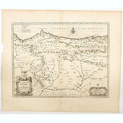
Blaeu's highly decorative map of the Spanish northwestern Provinces of Asturias, Castile and Léon, including the towns of Oviedo, Braganza in Portugal, Laredo, Burgos, ...
Place & Date: Amsterdam, ca 1640
Selling price: $170
Sold in 2023
Tabula Islandiae.
A fine map of Iceland. Very attractive title cartouche in the lower left corner: around the island, a ship and two sea monsters are depicted.In spite of it's restorations...
Place & Date: Amsterdam 1641
Selling price: $1080
Sold in 2016
Gallia Antiqua.
A fine map of ancient France.This edition carries the date 1641.Nicolas Sanson was to bring about the rise of French cartography, although the fierce competition of the D...
Place & Date: Paris 1641
Selling price: $60
Sold
Tabula Portuum Occidentalium Norwegiae et Spizbergi.
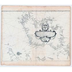
Copper engraving sea chart, printed from 2 plates, by M. Merian from J. A. à Werdenhagen, "De rebus publicis Hanseaticis tractatus". Very decorative cartouche.
Place & Date: Frankfurt, 1641
Selling price: $225
Sold in 2018
Irlandiae Mari Portus.
Sea chart of Ireland, from Werdenhagen J., De Rebus Publicis Hanseaticis Tractatus.
Place & Date: Frankfurt, 1641
Selling price: $180
Sold in 2009
Tabula Portuum Lappiae et Russiae, usq Novam Zembalam.
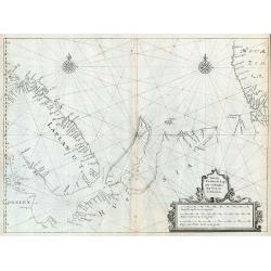
Scarce sea chart of the Lapland, Russia, Nova Zemlaya and the contiguous arctic seas, from Werdenhagen's De Rebus Publicis Hanseaticis Tractatus.
Place & Date: Frankfurt, 1641
Selling price: $610
Sold in 2009
Gallia Antiquae Descriptio, Geographica. . .
An attractive map of ancient Gaul (present day France and Belgium) by the French cartographer Nicolas Sanson, and published by Pierre Mariette. A decorative title cartouc...
Place & Date: Paris, 1641
Selling price: $110
Sold in 2010
Antverpia
Two joined sheets. Rare bird's eye town-plan of Antwerp.From "Pompa introitus Ferdinandi Austriaci Hispaniarum infantis". The work celebrates the entry of Cardi...
Place & Date: Antwerp, Johannes Meursius, 1641
Selling price: $1350
Sold in 2012
l'isle de France, Parisiensis Agri de Script.
An attractive map that depicts the region surrounding Paris. There are strap-work title and scale cartouches and a beautiful interlocking border. The high detail depicts ...
Place & Date: Antwerp, 1641
Selling price: $100
Sold in 2016
Antiquorum Italiae & Illyrici occidentalis episcopatum geographica descriptio . . .
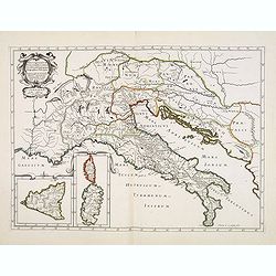
Scarce map of Ancient Italy and the Adriatic with inset maps of Corsica, Sardinia and Sicily. Engraved by Abraham de la Plaetsen. Included in "Geographia sacra, siue...
Place & Date: Paris, ca. 1641
Selling price: $150
Sold in 2014
Graeciae Antiquae tabulam hanc geographicam offert, dedicat, consecrat Nic Sanson Abbavillaeus CID DCI XXXVI.
Scarce map of Ancient Greece. Prepared by Nicolas Sanson. In lower right corner "A Paris chez Melchior Tauernier, Graveur et Imprimeur du Roy pour les Cartes Geograp...
Place & Date: Paris, ca. 1641
Selling price: $61
Sold in 2013
Germania Antiqua.
A fine map of ancient Germany, Poland and the Netherlands.This edition carries the date 1641.The map was prepared by Melchior Tavernier and later published Pierre Mariett...
Place & Date: Paris, 1641
Selling price: $60
Sold in 2017
Tabula Navigatoria maris Orientalis...
Rare sea chart of the coasts of Scandinaviachart includes a large coat of arms and two compass roses.
Place & Date: Frankfurt, 1641
Selling price: $280
Sold in 2017
Graeciae Antiquae tabulam hanc geographicam offert, dedicat, consecrat Nic Sanson Abbavillaeus CID DCI XXXVI.
Scarce map of Ancient Greece. Prepared by Nicolas Sanson. In lower right corner "A Paris chez Melchior Tauernier, Graveur et Imprimeur du Roy pour les Cartes Geograp...
Place & Date: Paris, ca. 1641
Selling price: $45
Sold in 2018
Hassiae Descriptio / Holsatiae Descriptio.
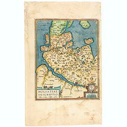
The rare Spanish text edition of 1641 of this important map showing the province of Holstein. Very nice cartouche on the lower left corner with the name of the cartograph...
Place & Date: Antwerp, 1641
Selling price: $50
Sold in 2020
Serenissimae Reipublicae Genuensis Ducatus et Dominii.
Includes the coast of the Riviera from Nice to La Spezia. A most decorative and rare map because it was only included in the Vrients' editions of the Ortelius Theatrum . ...
Place & Date: Antwerp, 1609-1641
Selling price: $2100
Sold in 2023
Regni Bohemiae nova descriptio.
Rare map engraved by Petrus Kaerius and published by Evert Cloppenburg.
Place & Date: Amsterdam 1642
Selling price: $640
Sold
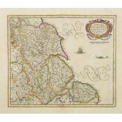
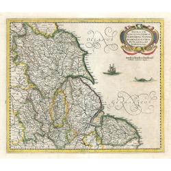
Eboracum, Lincolnia, Derbia, Staffordia, Notinghamia..
Showing the north-eastern part of England. Ornamental title cartouche in the upper right corner. Embellished with a vessel and a sea monster.
Place & Date: Amsterdam 1642
Selling price: $150
Sold
Westmorlandia Lancastria, Cestria, Caernarvan, Denbigh..
Showing the north-western part of England, including the Island of Man, Liverpool, Blackpool, etc.Embellished with ornamental title cartouche and a vessel.
Place & Date: Amsterdam 1642
Selling price: $120
Sold in 2009
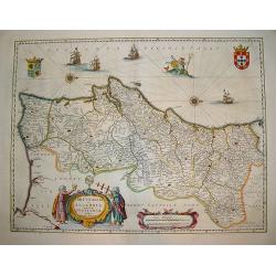
Portugallia et Algarbia uae olim Lusitania.
A popular Blaue map of Portugal, based on the work of Fernao Alvares Seco. Verso text: German. This very detailed map depicts Portugal with numerous ships and Neptune ad...
Place & Date: Amsterdam, ca. 1642
Selling price: $355
Sold in 2008
A general Plott and description of the Fennes..
Fine map depicting the area north of Cambridge, up to King's Lynn. West to the top.
Place & Date: Amsterdam, 1642
Selling price: $250
Sold in 2020
Eboracum, Lincolnia, Derbia, Staffordia, Notinghamia..
Showing the north-eastern part of England.
Place & Date: Amsterdam, 1642
Selling price: $360
Sold in 2009
Yperen
Wonderful, miniature copper engraving of Yperen. There is a Latin title at top and the text below the print is in Latin and German. The city of Yperen is shown in the bac...
Place & Date: Frankfurt, ca.1642
Selling price: $51
Sold in 2014
Troye
Wonderful, miniature copper engraving of Troye. There is a Latin title at top and the text below the print is in Latin and German. The city of Troye is shown in the backg...
Place & Date: Frankfurt, ca.1642
Selling price: $23
Sold in 2014
Metz
Wonderful, miniature copper engraving of Metz. There is a Latin title at top and the text below the print is in Latin and German. The city of Metz is shown in the backgro...
Place & Date: Frankfurt, ca.1642
Selling price: $23
Sold in 2014
Orleans
Wonderful, miniature copper engraving of Orleans. There is a Latin title at top and the text below the print is in Latin and German. The city of Orleans is shown in the b...
Place & Date: Frankfurt, ca.1642
Selling price: $22
Sold in 2014
Reims
Wonderful, miniature copper engraving of Reims. There is a Latin title at top and the text below the print is in Latin and German. The city of Reims is shown in the backg...
Place & Date: Frankfurt, ca.1642
Selling price: $22
Sold in 2014
Namur
Wonderful, miniature copper engraving of Namen. There is a Latin title at top and the text below the print is in Latin and German. The city of Namen is shown in the backg...
Place & Date: Frankfurt, ca.1642
Selling price: $16
Sold in 2014
Anglesey. / Iarsay./Garnesay. / Wight Vectis Olim.
Four maps on one sheet depicting the English islands Jersey, Guernsey, Wright and Alderney.
Place & Date: Amsterdam, 1642
Selling price: $200
Sold in 2021
Europam sive Celticam veterem. Sic Describere conabur Abrahamus Ortelius
Historical map of Europe, originally attributed to Ortelius also published in Hondius / Mercator Atlas Novus with different catouches. French text on back.
Place & Date: Amsterdam, 1642
Selling price: $400
Sold in 2009
[Two maps] Hiberniae pars Australis. . .
Fine two sheet map of Ireland, with impressive topographical information, with several keys. Prepared by Mercator, published by Janssonius / Hondius.Mercator's two-sheet ...
Place & Date: Amsterdam, 1642
Selling price: $600
Sold in 2019
Insularum Britannicarum acurata delineatio. . .
A map of the Roman Britain as seen during the third and fourth centuries. Roman place names as well as Hadrian's Wall and the Wall of Pius appear on the map, identifying ...
Place & Date: Amsterdam, 1642
Selling price: $250
Sold in 2022
No title: Scotland.
Detailed map of Scotland with Glasgow (Glasquo) in center.
Place & Date: Amsterdam, 1642
Selling price: $250
Sold in 2018
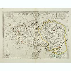
Païs armorique, ou Description de la haute et basse Bretagne, 1642.
Beautiful and rare map of Bretagne published by Boisseau, this edition is without text on the back. Boisseau used the copperplate by Bouguereau. The plate was included in...
Place & Date: Paris, after 1642
Selling price: $900
Sold
Carte des environs de la Ferre.
Detailed map of the north of France, of the region of Picardie. Prepared by Claude de Chastillon (1559-1616) and published by Jean Boisseau. Map shows Folembrai, La ferre...
Place & Date: Paris, 1642
Selling price: $240
Sold
Britannia Ducatus. Duche de Bretaigne.
Early map of Bretagne. Highly detailed, filled with place names. Includes Mont-Saint-Michel, Ile Ouessant, Belle-Ile, and Noirmoutier. Richly decorated with a title carto...
Place & Date: Amsterdam, 1642
Selling price: $150
Sold in 2016
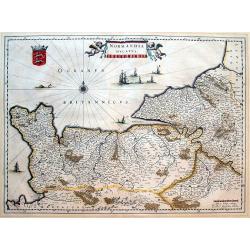
Normandia ducatus.
Very detailed map of Normandy centered on Caen and Rouen. Also showing Cherbourg, Avranches, Bayeux, Cabourg, Honfleur, Le Havre, Etretat, Fecamp. St Malo and Mont Saint ...
Place & Date: Amsterdam, 1642
Selling price: $110
Sold in 2016
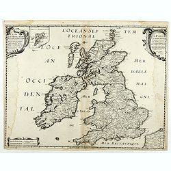
Carte Generale des Royaume d'Angleterre Escosse et Irlande Avecq les Isles circonvoisines Conues toutes soubs le nom de Britanniques / Nouvellement dressee et tiree de Cambdene Spede & autres Par N. Sanson geogr.e Ord.re du Roy.
Fine example of Nicolas Sanson's first map of the British Isles, engraved by Melchior Tavernier. A small inset map shows the Shetland Isles. The distortion of Ireland and...
Place & Date: Paris, 1642
Selling price: $150
Sold in 2018
Sardinia Insula.
A small map of the Italian island of Sardinia, printed on a sheet of Dutch text and published in Blaeu's "Theatrum" in 1642. Attractive initial letter 'H' begin...
Place & Date: Amsterdam, ca 1642
Selling price: $200
Sold in 2019
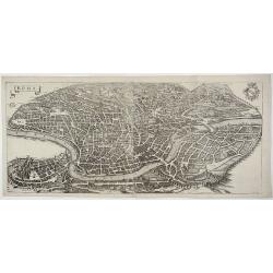
ROMA.
Large and detailed birds eye view of Rome and the Vatican by Matthaus Merian using the late XVI century eastward oriented model which shows the city right after the city�...
Place & Date: Frankfurt, ca. 1642
Selling price: $1200
Sold in 2019
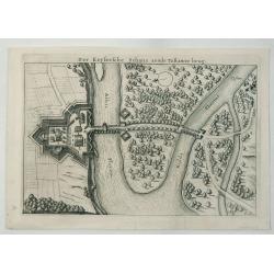
Der Keysersche Schans Aende Tebawer Brug.
A detailed bird’s-eye view of the confluence of the Mulde and Elbe Rivers on the bank of the Elbe. The city of Dessau, Germany is pictured, by Danckerts in 1642.Corneli...
Place & Date: Amsterdam, 1642
Selling price: $11
Sold in 2020
ROMA
A large and detailed birds eye view of Rome and the Vatican by Matthaus Merian using the late XVI century eastward oriented model which shows the city right after the cit...
Place & Date: Frankfurt, ca.1642
Selling price: $1200
Sold in 2023
Eboracum, Lincolnia, Derbia, Staffordia, Notinghamia...
An elegant map of northeast England by Henricus Hondius, published out of Amsterdam during the golden age of Dutch map making in 1642. The map presents the English count...
Place & Date: Amsterdam, 1642
Selling price: $75
Sold in 2023
Carte générale du Royaume de France..
This beautifully engraved map depicts France as known in the mid 17th century. Topographical features are shown and major cities, towns, waterways, mountains and islands ...
Place & Date: Paris, 1643
Selling price: $250
Sold in 2014
No title. (East Flanders)
Engraved by Kaerius in 1605. The cartouche at top right-hand corner testifies to acts of war from 1600 to 1605.
Place & Date: Amsterdam, 1643
Selling price: $100
Sold
[No title] - In inset: Habes hic Novam & Accuratissimam Descriptionem Tractus Illius Flandriae?
map of Noord-West Vlaanderen, engraved by Petrus Kaerius in 1605. The cartouche at top right-hand corner testifies to acts of war from 1600 to 1605.From: Petri Kaerii Ger...
Place & Date: Amsterdam, 1643
Selling price: $300
Sold in 2009
Luxenburgicus ducatus, septem Comitatibus. . .
Map of Luxembourg. Seldom available for purchase. Very rare!Lower right hand corner of copper plate was cut out. Jean Boisseau (fl.1637-1658) French geographer, topograph...
Place & Date: Paris, 1643
Selling price: $900
Sold in 2015
Profil de la Ville Archiepiscopal de Tours Appellee Vulgairement le Jardin de la France, 1643.
Hand-colored copperplate engraving featuring a panoramic view of Tours engraved by the famous master engraver, Hugues Picart (1587-1662). This view is extremely detailed ...
Place & Date: Paris, 1643
Selling price: $245
Sold in 2018
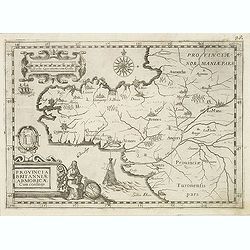
Provincia Britanniae Armoricae Cum confiniis.
Map of the Brittany region in France, published in the rare atlas "Capucins de Rome".
Place & Date: Rome, 1643
Selling price: $150
Sold in 2014
Nova totius germaniae descriptio.
A highly detailed map of the German Empire which covers present-day Germany, Poland, Netherlands, Belgium, Switzerland, Austria, Czech Republic and parts of Poland and Hu...
Place & Date: Amsterdam, 1643
Selling price: $100
Sold in 2020
Tertia Pars Brabantiae qua continetur Marchionat S.R.I. horum urbs primaria Antverpia ex Archetypo Michaelis Florenty a Langren Reg. Maj. Mathematico
This map shows a part of the duchy of Brabant in the Netherlands with Antwerp, Loewen towards Breda. The map has eight coat of arms. An attractive figurative title cartou...
Place & Date: Amsterdam, 1643
Selling price: $100
Sold in 2020
Nova Totius Germaniae Descriptio.
A detailed and finely engraved map of Germany, Poland, Netherlands, Belgium, Austria, and a small part of Italy and Croatia. From the Theatrum Orbis Terrarum.With a titl...
Place & Date: Amsterdam, 1643
Selling price: $105
Sold in 2018






-250x250.jpg)













![[Two maps] Hiberniae pars Australis. . .](/uploads/cache/08341-250x250.jpg)







![[No title] - In inset: Habes hic Novam & Accuratissimam Descriptionem Tractus Illius Flandriae?](/uploads/cache/23909-250x250.jpg)
