Browse Listings in Europe
Fossa Eugeniana que a Rheno ad Mosam..
Detailed map of part of the country between rivers Rhine and Meuse showing a canal to be dug between 1626 and 1628 between Rheinberg in Germany and Venlo. A deficiency of...
Place & Date: Amsterdam 1639
Selling price: $280
Sold
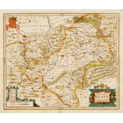
Comitatus Glatz.
Centered on Görlitz. The cartographer of this map was Bartholomeus Scultetus (1540-1614), active in Görlitz.. The title cartouche at bottom right shows ...
Place & Date: Amsterdam 1639
Selling price: $200
Sold
Zurichgow et Basiliensis provincia.
Including the towns of Basle, Lucerne, Zürich, etc.
Place & Date: Amsterdam, 1639
Selling price: $100
Sold in 2022
Belgii Veteris Typus ex conatibus..
Ancient map of present Netherlands, Belgium and Luxemburg. Engraved by Petrus Kaerius, after design of Abraham Ortelius. Fine title cartouche.
Place & Date: Amsterdam 1639
Selling price: $480
Sold
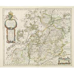
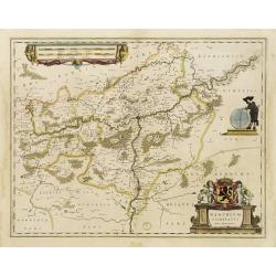
Namurcum Comitatus.
Decorative map centred on Namen. With three very fine cartouches.
Place & Date: Amsterdam, 1639
Selling price: $50
Sold in 2023
Belgii Veteris Typus ex conatibus..
Ancient map of present Netherlands, Belgium and Luxemburg. Engraved by Petrus Kaerius, after design of Abraham Ortelius. Fine title cartouche.
Place & Date: Amsterdam 1639
Selling price: $340
Sold
Queen Maria of France arriving at Amsterdam.
Panoramic view of the city from 't IJ. On the foreground extensive shipping being the arrival on August 31, 1638.The print was published in commemoration of Maria de 'Med...
Place & Date: Amsterdam 1639
Selling price: $845
Sold
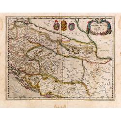
Sclavonia, Croatia, Bosnia cum Dalmatiae Parte.
Detailed and early map with coat-of-arms focusing specifically on the embattled nations of the former Yugoslavia. Signed lower left.
Place & Date: Amsterdam, 1639
Selling price: $300
Sold in 2014
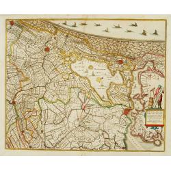
Rhinolandiae, Amstelandiae et ..
Centered on The Hague, Leiden, Haarlem, Amsterdam, Gouda, etc. West to the top. Prepared by Balthasar Floris van Berkenrode.
Place & Date: Amsterdam, 1639
Selling price: $550
Sold
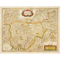
Territorium Tridentinum.
Detailed map centered on Trento. Showing the Dolomites mountains, northern tip of Lake Garda, Bolzano, etc.
Place & Date: Amsterdam, 1639
Selling price: $350
Sold in 2013
Novissima Tabula Insular Dordracensis. . .
The countship of Holland was subdivided into a number of bailiwicks. The most southerly bailiwick, bordering on Brabant was named Zuid-Holland. Many floods changed the ap...
Place & Date: Amsterdam, 1639
Selling price: $150
Sold in 2021
Nova Totius Livoniae accurata Descriptio.
Decorative map of Estonia and Latvia. Including the southern tip of Finland and the south eastern tip of Sweden, including Stockholm.
Place & Date: Amsterdam 1639
Selling price: $400
Sold in 2009
La Hollande Septentrionale.
Large map of the northern part of the province "Holland" in the Netherlands. The map comes from the "Atlas Novus" originally published by Janssonius i...
Place & Date: Amsterdam, 1639
Selling price: $170
Sold in 2011
No title: Map of northern tip of Holland
The northern tip of Holland or West Friesland. West to the top. Including Amsterdam, Alkmaar, Hoorn, Enkhuizen, etc. Many ships in the Noord- and Zuiderzee.
Place & Date: Amsterdam 1639
Selling price: $325
Sold
Uplandia.
Covers the area of the modern Uppsala, the vicinity of Stockholm, and includes most of Aland.
Place & Date: Amsterdam, 1639
Selling price: $400
Sold in 2012
Das Wiflispurgergou
Nice early 17th century copper engraved map of south-western Switzerland of G. Mercator by Hondius in beautiful colors. Second state, with cartouche changed to the shape ...
Place & Date: Amsterdam, 1639
Selling price: $280
Sold in 2009
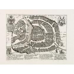
Moscovia urbs Metropolis totius Russiae Albae.
Extremely rare and detailed bird's-eye view of the town of Moscow by Giacomo Lauro (active about 1584-1637), taken from "Heroico Splendore delle Città del Mondo&quo...
Place & Date: Rome, dated 1628, or 1639
Selling price: $2000
Sold in 2009
Marchionatus Moraviae Auct I. Comenio.
Centered on Brno and Olomouc in south eastern part of Czech Republic.The cartographer of this map was Johan Amos Comenius (1592-1670), Czech cartographer and priest.
Place & Date: Amsterdam, 1639
Selling price: $70
Sold in 2015
Ducatus Geldria.
West to the top. Including Gelderland, but also the provinces of Utrecht, Gelderland and part of Brabant. Engraved by the master-engraver Abraham Goos.
Place & Date: Amsterdam, 1639
Selling price: $120
Sold in 2019
Comitatus Zutphania.
A very detailed map of this area, including Arnhem, Nijmegen, Zutphen, Groenlo, etc.
Place & Date: Amsterdam, 1639
Selling price: $60
Sold in 2022
Comitatus Burgundiae.
Detailed map showing Burgundy, with decorative cartouches. No text on verso. From a French composite atlas.
Place & Date: Amsterdam, c.1639
Selling price: $120
Sold
Comitatus Tirolis cum Consinys.
Very fine and detailed map of Tyrol, covering the towns of Kuffstein, Innsbruck, western part of Boden See, and as far south as tip of Lake Garda with the Italian area Tr...
Place & Date: Amsterdam, 1639
Selling price: $250
Sold in 2016
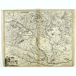
Hungaria Regnum.
Detailed map of Hungary centered on Budapest. Including the towns of Vienna, Zagreb as well.No text on verso. From a French composite atlas.Read more about Dutch - French...
Place & Date: Amsterdam, 1639
Selling price: $36
Sold in 2018
Moscovia urbs Metropolis totius Russiae Albae.
Extremely rare and detailed bird's-eye view of the town of Moscow by Giacomo Lauro (active about 1584-1637), taken from "Heroico Splendore delle Città del Mondo&quo...
Place & Date: Rome, dated 1628, or 1639
Selling price: $600
Sold in 2021
[Vilnius] Vilna Lithuaniae Metropolis.
Extremely rare and detailed bird's-eye view of the town of Vilnius by Giacomo Lauro (active about 1584-1637), taken from "Heroico Splendore delle Città del Mondo&qu...
Place & Date: Rome, 1628 or 1639
Selling price: $1550
Sold in 2019
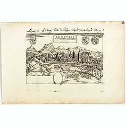
Leopolis Russiae Australis . . .
Extremely rare and detailed bird's-eye view of the town of Lviv by Giacomo Lauro (active about 1584-1637), taken from "Heroico Splendore delle Città del Mondo"...
Place & Date: Rome, 1628 or 1639
Selling price: $1000
Sold in 2019
Lublinum [Lublin].
Extremely rare and detailed bird's-eye view of the town of Lublin by Giacomo Lauro (active about 1584-1637), taken from "Heroico Splendore delle Città del Mondo&quo...
Place & Date: Rome, 1628 or 1639
Selling price: $600
Sold in 2019
Novum Zamoscium. [Zamosc]
Extremely rare and detailed bird's-eye view of the town of Zamosc by Giacomo Lauro (active about 1584-1637), taken from "Heroico Splendore delle Città del Mondo&quo...
Place & Date: Rome, 1628 or 1639
Selling price: $900
Sold
Mansfeldia Comitatus.
Centered on Mansfeld and prepared by Tilemano Stella (1527-1589) a German cartographer who made maps of Germany and the Holy Land.The scale of longitude and latitude are ...
Place & Date: Amsterdam, 1640
Selling price: $450
Sold in 2014
Alpinae seu Foederatae Rhaetiae subditarumque..
Detailed map Graubunden Canton in Switzerland. Including Chur, Davos, St.Moritz, etc. Engraved by Simon Hamersveldt.The scale of longitude and latitude are colored altern...
Place & Date: Amsterdam 1640
Selling price: $400
Sold
Tabula Russiae.
An attractive map of the region including all of Scandinavia through to the Black and Caspian Seas. The map is based on Hessel Gerritsz' rare and significant map of Russi...
Place & Date: Frankfurt, 1640
Selling price: $600
Sold in 2013
Le gouvernement de Calais & Païs reconquis.
An attractive map of the north-western part of France including the towns of Calais, Gravelines. South to the top.
Place & Date: Amsterdam 1640
Selling price: $140
Sold
Belsia, Vulgo La Beausse.
In the left-hand lower part of the image a beautiful contemporary colored cartouche with goddess Ceres [agricultural] holding a reaping-hook in her right hand and receivi...
Place & Date: Amsterdam, 1640
Selling price: $160
Sold in 2011
Edynburgum.
From Merian's "Topographia," a beautifully presented panoramic view of Edinburgh in the mid 17th century. Edinburgh Castle is shown in the left portion of the p...
Place & Date: Frankfurt, ca. 1640
Selling price: $400
Sold
La Ville de Fovgers.
Charming view of Fougères, in Brittany.
Place & Date: Paris, ca. 1640
Selling price: $25
Sold
Novissima Arragoniae..
Shows cities of Saragossa and Pamplona. Dedication to a list of worthies, deputies of the king in Aragon by Henricus Hondius.
Place & Date: Amsterdam 1640
Selling price: $100
Sold
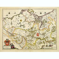
Brandenburgum Marchionatus cum Ducatibus Pomerani..
Covering the area of Mecklenburg-West Pomerania, including the towns of Rustock, Szczechi, etc.Embellished with coats of arms, sailing ships and windroses.
Place & Date: Amsterdam, 1640
Selling price: $260
Sold
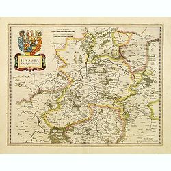
Hassia Landgraviatus.
Detailed map centered on the town of Kassel. With decorative title cartouche.More about Willem Blaeu. [+]
Place & Date: Amsterdam, 1640
Selling price: $50
Sold in 2022
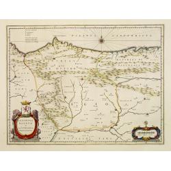
Legionis regnum et Asturiarum principatus.
Decorative map of the Spanish Province Asturias, Castile and Léon, including the towns of Oviedo, Leon, Santander, Valladolid, etc. With two fine title cartouches.
Place & Date: Amsterdam 1640
Selling price: $250
Sold
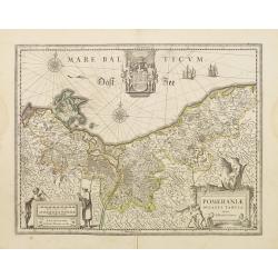
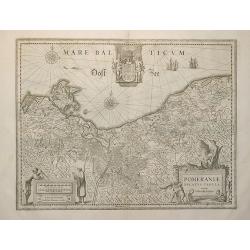
Pomeraniae ducatus Tabula.
Finely engraved map of Pomerania, geographical region today divided between northern Poland and Germany on the south coasts of the Baltic Sea. With decorative title carto...
Place & Date: Amsterdam 1640
Selling price: $145
Sold
Rhenus Fluviorum Europae..
Shows the course of the River Rhine, showing parts of Switzerland, Austria, The Netherlands and part of Germany.The finest Dutch map publishers were the Blaeu family, and...
Place & Date: Amsterdam 1640
Selling price: $650
Sold
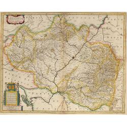
Arragonia Regnum.
Johan Blaeu succeeded his father Willem when the latter died in 1638. Johan led the Blaeu firm to its greatest achievement the ' Atlas Maior' in 12 parts, the greatest an...
Place & Date: Amsterdam, 1640
Selling price: $400
Sold
Rhenus Fluviorum Europae..
Shows the course of the River Rhine, showing parts of Switzerland, Austria, The Netherlands and part of Germany.The finest Dutch map publishers were the Blaeu family, and...
Place & Date: Amsterdam, 1640
Selling price: $800
Sold
Legionis regnum..
Decorative map of the Spanish Province Asturias, Castile and Léon, including the towns of Oviedo, Leó,n, Santander, Valladolid, etc. With two fine title cartou...
Place & Date: Amsterdam, 1640
Selling price: $250
Sold in 2008
Tavrica Chersonesva Mostra aetate Prezecopsca et Gazara dicitur
Nice map of the Ukraine with in the north Moscow. On verso Latin text ?Tavrica Chersonesus? F2 Urbes. Very slight discoloring on fold.
Place & Date: c. 1640
Selling price: $150
Sold in 2008
Ducatus Silesiae Glogani Vera Delineatione
Beautiful full old colored example of Blaeu's map of Glogau in Lower Silesia Province in Poland. From a Spanish edition of "Atlas Maior".
Place & Date: Amsterdam, 1640
Selling price: $250
Sold in 2009
Tabula Russiae
Tabula Russiae... dicta Moscovia. An attractive map of the region including all of Scandinavia through to the Black and Caspian Seas. The map is based on Hessel Gerritsz\...
Place & Date: Amsterdam, c. 1640
Selling price: $1900
Sold in 2008
Fionia vulgo Funen
Beautiful old colored map of Funen in Denmark from J. Blaeu. Showing Funen, Als and Langeland. With one colored cartouche and scale.
Place & Date: Amsterdam, 1640
Selling price: $160
Sold in 2009
Amsterdam.
Bird's eye view of the busy harbour of Amsterdam with the city shown in plan. Individual buildings can be seen with gardens behind them. Clearly shows the canal system, c...
Place & Date: Frankfurt, 1640
Selling price: $300
Sold in 2009
Provincia. La Provence.
Detailed map of the Province including the towns of Marseille, Avignon, Nice, Aix-en-Provence, Sisteron, Cannes, St. Tropez, Toulon, etc. Three decorative cartouches, coa...
Place & Date: Amsterdam, 1640
Selling price: $750
Sold in 2014
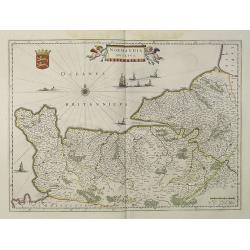
Normandia Ducatus.
Very detailed map of Normandy centered on Caen and Rouen. Also showing Cherbourg, Avranches, Bayeux, Cabourg, Honfleur, Le Havre, Etretat, Fecamp. St Malo and Mont Saint ...
Place & Date: Amsterdam, 1640
Selling price: $400
Sold
Nova Helvetiae Tabula
Beautiful colored mid 17th century copper engraved map of Switzerland by J. Janssonius. With two cartouche and a mileage scale. Covering complete Switzerland with the Lak...
Place & Date: Amsterdam, 1640
Selling price: $650
Sold in 2009
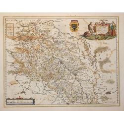
Silesiae Ducatus . . .
Centered on Breslau. Including the towns of Dresden, Cracow, Prague, Olmitz, etc.Decorative map prepared by Jonas Scultetus, a Silesian cartographer (1603-1664).French te...
Place & Date: Amsterdam, 1640
Selling price: $240
Sold in 2010
Pomeraniae ducatus Tabula.
Finely engraved map of Pomerania, geographical region today divided between northern Poland and Germany on the south coasts of the Baltic Sea. With decorative title carto...
Place & Date: Amsterdam, 1640
Selling price: $180
Sold in 2009
Novissima Arragoniae ?
Shows cities of Saragossa and Pamplona. Dedication to a list of worthies, deputies of the king in Aragon by Henricus Hondius.
Place & Date: Amsterdam, 1640
Selling price: $240
Sold in 2009
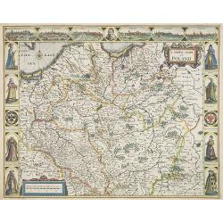
A Newe mape of Poland Done into English by I.Speede.
A wonderful map of Poland. Incorporated into Speed's 'Prospect Of The Most Famous Parts Of The World.' Includes birds-eye views of Cracow, Dantzick, Posna, Crossen, Sando...
Place & Date: London, 1640
Selling price: $3500
Sold in 2017
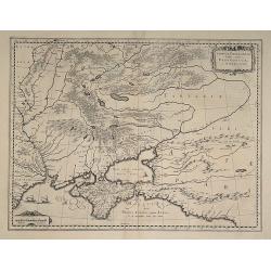
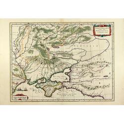
Taurica Chersonesus, Nostra aetate Przecopsca et Gazara dicitur.
Old colored engraved map of the Ukraine with the Crimea peninsula by W. Blaeu. With two colored cartouches and three sailing ships. From "Atlas Major" around 16...
Place & Date: Amsterdam, 1640
Selling price: $500
Sold in 2011
Anglia Regnum.
A striking map of Great Britain with two finely-engraved coats of arms (Great Britain and Ireland).
Place & Date: Amsterdam, ca. 1640
Selling price: $255
Sold in 2010
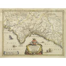
Valentia regnum Contestani, Ptol. Edentani, Plin.
Fine map of the Spanish province of Valencia, with large title cartouche and Dutch vessels offshore.
Place & Date: Amsterdam, 1640
Selling price: $100
Sold in 2023
Nova famigerabilis insulae ac ducatus Rugiae descriptio.
Both side borders are filled with coat of arms of the island's leading families. Including two compass roses, sailing ships, sea monsters and a large coat of arms in the ...
Place & Date: Amsterdam, c.1640
Selling price: $100
Sold in 2011
De Custen van Engeland en Schotlandt tusschen Tinbij en de Eijlanden van Orcanesse.
Very rare of the coasts of Scotland, with Aberdeen, from The New Fierie Sea-Colomne, published in 1640 by Jacob Aertz. Colom. .
Place & Date: Amsterdam, 1640
Selling price: $150
Sold in 2010
Europa recens descripta a Guilielmo Blaeuw.
Blaeu’s striking map of Europe, framed on both sides by five costumed figures. Left border: Angli, Galli, Belgi, Castiliani, Venetiani. Right border: Germani, Hungari, ...
Place & Date: Amsterdam, 1640
Selling price: $2200
Sold in 2018
Les environs de L'Estang de Longpendv, Comprenant une grande partie du Comte de Charolois.
Beautiful map showing the lands of the Duke of Charolais in the region of France west of Chalon-sur-Saône, between Dijon and Lyon in France, published by the Blaeu firm....
Place & Date: Amsterdam, c.1640
Selling price: $95
Sold in 2010
Ducatus Silesiae Glogani Vera Delineatio . . .
Decorative regional map of Silesia, centered on Breslau. Extends from Cracow to Glogau and Gorlitz. Two cartouches, each with a large coat of arms. French text on verso.
Place & Date: Amsterdam, 1640
Selling price: $350
Sold in 2015
Paderbornensis Episscopatus Descriptio Nova.
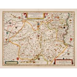
Detailed map centered on Paderborn. Prepared by Joannes Michael Gigas (1580-1650+), a doctor, mathematician, and geographer who also made maps of Osnabrug, Westphalia, M�...
Place & Date: Amsterdam, 1640
Selling price: $50
Sold in 2019
Moscva.
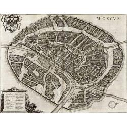
Superb bird's-eye plan of Moscow from Merians "Neuwe Archontologia cosmica". The very detailed map shows many buildings, streets, bridges, and more. With the ...
Place & Date: Frankfurt, c1640
Selling price: $660
Sold in 2011
Magnae Britanniae et Hiberniae Tabula.
First issued in 1630 with vignette borders depicting costumes and towns; however, that state only appeared that year after which the borders were cropped from the plate, ...
Place & Date: Amsterdam, [1631] - 1640
Selling price: $400
Sold in 2012
Tabula Germaniae emendata recens. . .
Uncommon map published by Claes Jansz. Visscher covering the Low Countries, Germany, Poland, Switzerland and Austria. Engraved by A. van den Broeck with his signature low...
Place & Date: Amsterdam, 1640
Selling price: $150
Sold in 2017
Marchionatus sacri Romani imperii.
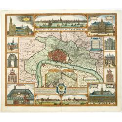
Decorative town-plan of Antwerp. The east is at the top: at upper right two farmers carrying the heraldic shield of Antwerp. Plan and surroundings of Antwerp and at botto...
Place & Date: Amsterdam, 1640
Selling price: $800
Sold in 2016
Le Pais de Caux.
Detailed map of Normandy. Map centered on Rouen, and shows Honfleur, Le Havre, St Vallery, Dieppe. . .Embellished with a beautiful cartouche, and a sailing ship.No text o...
Place & Date: Amsterdam/ Paris, 1640
Selling price: $240
Sold
Sueciae, Norvegiae et Daniae Nova Tabula.
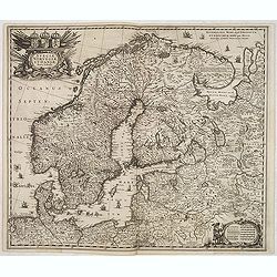
Signed lower right. A decorative map of the whole of Scandinavia with a large title cartouche and a decorative scale cartouche, and many ships in the seas and little figu...
Place & Date: Amsterdam, 1640
Selling price: $300
Sold in 2020
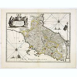
Carte de l'Estat du Pape et du Duché de toscane.
Early imprint of this fine map of Tuscany and the Papal States, marking Rome, Pisa, Bologna, Ravenna, Perugia, including the island of Elbe. With decorative cartouches fo...
Place & Date: Paris, 1640
Selling price: $1000
Sold in 2012
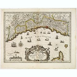
.Serenissimae Reipublicae Genuensis Ducatus et Dominii. . .
Includes the coast of the Riviera from Nice to La Spezia. A most decorative map with impressive cartouche and extensive shipping. Engraved by D.Gryp.No text on verso. Fro...
Place & Date: Paris / Amsterdam, ca.1640
Selling price: $400
Sold in 2016
Episcop Ultraiectinus, Auct. Balthazaro Florentio a Berkenrode.
Highly detailed copper engraved map featuring the area around the city of Utrecht. This map gives several details concerning rivers, canals, cities and villages. This map...
Place & Date: Amsterdam, 1628 /1640
Selling price: $170
Sold in 2014
Europa nova delineatio.
Based on Blaeu's Europa recens descripta, this map extends to Iceland, the mythical Frisland, and the coast of Greenland. A decorative cartouche, sailing ships and a sea ...
Place & Date: Frankfurt, 1640
Selling price: $190
Sold in 2015
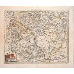
Hungaria Regnum.
Nice map of the region of Hungary by the Blaeu family. Budapest is in the center of this map. It covers most of present day Hungary, but also includes part of Austria. Ni...
Place & Date: Amsterdam, 1640
Selling price: $240
Sold in 2014
Namurcum comitatus.
Very rare map of the province Namen by Cornelis Danckerts. Depicting the region around the city of Namen/Namur based on the once-secret map of Jacques Surhon (ca. 1555). ...
Place & Date: Amsterdam / Paris, ca. 1640
Selling price: $250
Sold in 2022
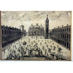
La maravigliosa piazza di S. Marco.
Very rare view of Piazza San Marco from Stefano Scolari, circa 1640. Together with the second view offered also here appears rarely on the international market.
Place & Date: Venice, circa 1640
Selling price: $600
Sold in 2018
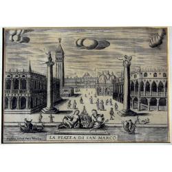
La piazza di San Marco.
Very rare view of Piazza San Marco from Stefano Scolari, circa 1640. Together with the second view offered also here appears rarely on the international market.
Place & Date: Venice, circa 1640
Selling price: $600
Sold in 2018
Comitatus Hollandiae novissima description Designatore Balthazaro Florentio a Berckenrode Anno Domini 1629.
Highly detailed regional map of Holland, showing the area around Amsterdam, Utrecht, Rotterdam, with an inset upper right corner of the Dutch Islands of Texel, Vlielandt....
Place & Date: Amsterdam, 1640
Selling price: $350
Sold in 2020










![[Vilnius] Vilna Lithuaniae Metropolis.](/uploads/cache/44715-250x250.jpg)
![Lublinum [Lublin].](/uploads/cache/44717-250x250.jpg)
![Novum Zamoscium. [Zamosc]](/uploads/cache/44718-250x250.jpg)
