Browse Listings in Europe
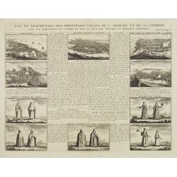
Vue et dscription des principales villes de l'Armenie et de la Georgie avec les habillements des femmes du pays, et ceux des prêtres et religieux armeniens. . .Tom: V N° 11 Pag: 28
View and description of the principal Armenian and Georgian cities with illustrations of Armenian women's garments as well as priests' and monks' clothing. The views are ...
Place & Date: Amsterdam, ca 1720
Selling price: $170
Sold in 2013
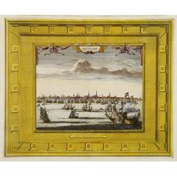
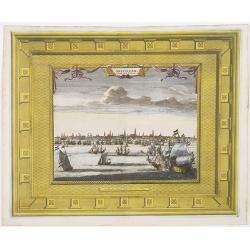
Amsterdam Capitale de la Hollande.
A panoramic view of the town of Amsterdam seen from 't IJ. Set within a decorative border, printed from a separate plate.Uncommon.
Place & Date: Leiden, 1720
Selling price: $150
Sold in 2008
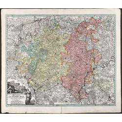
Ducatus Luxemburgi tam in Maiores quam Minores ejusdem Ditiones accurate distinctus et exhibitus a Ioh. Bapt. Homanno Norimbergae
Old colored map of Luxembourg by J. B. Homann. With one decorative cartouche.
Place & Date: Nuremberg, 1720
Selling price: $200
Sold in 2009
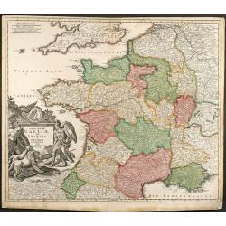
Totius Regni Galliae Sive Franciae et Navarrae novi¯ima Tabula edita Ó Io. Bapt. Homann Norimbergae
Copper engraved map of France by J. B. Homann. Covering complete France and southern part of the British Isles with many detail and one beautiful dramatic cartouche.
Place & Date: Nuremberg, 1720
Selling price: $250
Sold in 2009
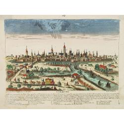
Utrecht.
A very RARE panoramic view of the city of Utrecht, including a numbered legend in the lower part.Engraved by Jean Crepy (the father) who was active as an engraver and pub...
Place & Date: Paris, 1690-1720
Selling price: $235
Sold in 2008
Bohemia Regnum juxta XII. Circulos divisum, cum Comitatu Glacensi et ditione Egrana, nec non confinibus Provinciis in mappa Geographica accurati¯ime delineatum per Matthaeum Seutter
Large original old colored map of Bohemia by M. Seutter. With two decorative cartouches and a city view of Carlsbad. Centered around Prague (Praha).
Place & Date: Augsburg, 1720
Selling price: $160
Sold in 2009
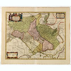
Typus Generalis Ukrainae sive Palatinatuum Podoliae, Kioviensis et Braczlaviensis terras nova delineatione exhibens. . .
Keymap based on Guillaume La Vasseur de Beauplan's map of the region published in "Description d'Ukraine". The work described Ukraine as several provinces of th...
Place & Date: Amsterdam, ca. 1720
Selling price: $2100
Sold in 2022
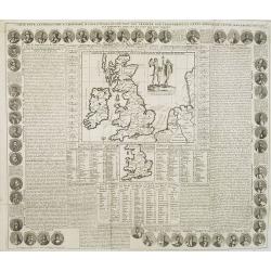
Carte Pour l'Introduction a l'Histoire d'Angleterre, ou l'on Voit son Premier Gouvernement, et l'Etat Abrege de cette Monarchie sous les Empereurs Romains, et sous les Rois Saxons.
The sheet includes a large inset map of Roman Britain including the English Channel and the western coast of France (200 x 255mm.). It also provides a wealth of informati...
Place & Date: Amsterdam, 1720
Selling price: $150
Sold in 2009
Le Comté de Haynaut, Divisé en Chatellenies, Balliages, Prevostés. Le Cambresis. Dédié au Roy . . .
Map of the county of Hainaut with its most important cities, Mons (Bergen), Cambrai (Kamerijk) and Charleroi. Also including Hainaut, who territorially is divided between...
Place & Date: Paris, 1720
Selling price: $75
Sold in 2010
Bohemia Regnum juxta XII. Circulos divisum, cum Comitatu Glacensi et ditione Egrana, nec non confinibus Provinciis in mappa Geographica accuratissime delineatum per Matthaeum Seutter.
Decorative and uncommon map of Bohemia by M. Seutter. With two decorative cartouches and a city view of Carlsbad, with a numbered key. Centered around Prague.
Place & Date: Augsburg, 1720
Selling price: $250
Sold in 2010
Amsterdam Capitale de la Hollande.
A panoramic view of the town of Amsterdam seen from 't IJ. Set within a decorative border, printed from a separate plate. Rare.
Place & Date: Leiden, 1720
Selling price: $275
Sold in 2009
Nouvelle Carte Geographique du Royaume de Dannemarck avec une table des villes les plus remarquables.
Map of Denmark with a key table to the towns on both sides.Zacharie Chatelain (d.1723) was the father of Henri Abraham (1684-1743) and Zacharie Junior (1690-1754).They wo...
Place & Date: Amsterdam, ca. 1720
Selling price: $120
Sold in 2011
Generalis totius Imperii Moscovitici ?
Decorated title cartouche includes several classical, allegorical and historical figures. Illustrations on map include two masted ships, four boats, and two sea creatures...
Place & Date: Nuremberg, 1720
Selling price: $550
Sold in 2009
Bude Ville capitale de la Hongrie.
A rare panoramic of Budapest.The plate is numbered in red pencil in upper right corner.Engraved by Pierre Aveline (Paris, c.1656 - 23 May 1722). He was also a print-publi...
Place & Date: Paris, 1690-1720
Selling price: $325
Sold in 2009
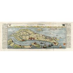
Venetia - Venedig
Beautiful colored birdeye view of Venice by Gabriel Bodenehr. Showing the important buildings, several sailing ships and German description on both sides. Printed from tw...
Place & Date: Augsburg, 1720
Selling price: $450
Sold in 2010
Nouvelle carte de la Suisse. Divisée en ses treize cantons. . . [4 sheets]
Prepared by Johann Jakob Scheuchzer (1672-1733), physician and geographer of Zürich. In 1712 he published a map of Switzerland in four sheets (scale 1/290,000), of which...
Place & Date: Amsterdam, 1720
Selling price: $4500
Sold in 2011
Exactissima Regni Scotiae Tabula tam in septentrionalem et meriodionalem quam in minores earundem provincias insulesq, et undique praetensas accurate . , ,
A magnificent and detailed map of Scotland, with all the counties, cities and towns, castles and churches, lochs, rivers and streams shown. This example with the imprint ...
Place & Date: Amsterdam, 1690 -1720
Selling price: $200
Sold in 2018
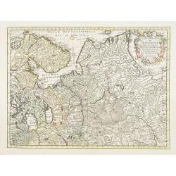
Carte nouvelle de Moscovie represente la partie Septentrionale dressée par G.De L'Isle. . .
Rare map covering the area north of Moscow, including Lapland. Prepared by G. de L'Isle.
Place & Date: Amsterdam, 1720
Selling price: $400
Sold in 2009
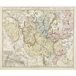
Tabula Nova Provinciae Ultrajectinae. . .
Prepared by Nicolas Visscher, now published by Petrus Schenk. Shows the land development in Gelderland, Holland, near the Zuyder Zee and it shows Arnhem, Doesburg, Zutphe...
Place & Date: Amsterdam, 1720
Selling price: $200
Sold in 2014
Carte nouvelle de l'electorat et marquisat de Brandebourg. . . / Nova electoratus et marchionatus Brandenburgici. . . / Charte des Chur-Furstenthums Brandenburg
Uncommon map centered on Berlin. In lower left inset of the area between Berlin and Spandow.Joachim Ottens (1663 - 1719) and his sons Renier and Joshua were prominent Dut...
Place & Date: Amsterdam, 1720
Selling price: $60
Sold in 2017
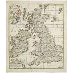
Novissima prae caeteris aliis accuratissima Regnorum Angliae Angliae, Scotiae, Hiberniae . . .
The title of De Wit's map is within a banner supported by winged cherubs and cavorting mermaids. Armorial shields of England, Scotland and Ireland are placed in the left-...
Place & Date: Amsterdam, c.1720
Selling price: $350
Sold in 2009
Anvers.
A very RARE panoramic of Antwerp, including a numbered legend in both lower corners and several very fine ships.Published by the brothers Chéreau, active in Paris at ru...
Place & Date: Paris, c. 1720
Selling price: $200
Sold in 2018
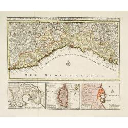
Nouvelle Carte de l'Etat de la Republique de Genes. Dressé sur les mémoires les plus nouveaux. . .
Uncommon map of the Ligurian coast around Genoa in northern Italy with three insets below of the harbors of Genoa and Bastia and the island of Corsica. Joachim Ottens (16...
Place & Date: Amsterdam, ca. 1720
Selling price: $270
Sold in 2022
Routes des postes et des voitures pour les marchandises et pour les voyages . . .
Uncommon post route map and commercial roads of Germany, the Low Countries, Pologne, Switzerland, Austria, and Northern Italy, published by the well-known map makers and ...
Place & Date: Amsterdam, 1720
Selling price: $800
Sold in 2014
Lubeck Ville Imperiale du Banc du Rhein.
A RARE panoramic of the city of Lubeck.The plate is numbered in red pencil in upper right corner.Engraved by Pierre Aveline (Paris, c.1656 - 23 May 1722). He was also a ...
Place & Date: Paris, 1690-1720
Selling price: $120
Sold in 2023
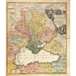
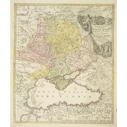
Tabula Geographica qua pars Russiae Magnae Pontus Euxinus seu Mare Nigrum et Tartaria Minor.
Unusual map of South Russia with the Black Sea region and the Ukraine. Extends from Moscow to Constantinople. The waters of the Dnieper and Danube are shown as currents i...
Place & Date: Nuremberg, 1720
Selling price: $600
Sold in 2010
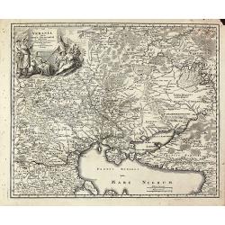
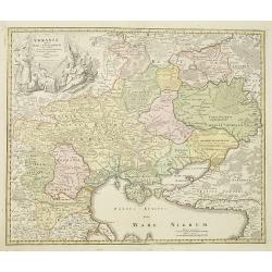
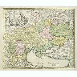
Ukrania quae et Terra Cosaccorum cum vicinis Walachiae, Moldaviae, Minorisq., Tartariae Provinciis exhibita.
Beautiful map of the Ukraine with the Black Sea and Crimea. Extends from Moscow to Constantinople. With a marvelous figural cartouche composed of native figures. Publishe...
Place & Date: Nuremberg, 1720
Selling price: $1600
Sold in 2010
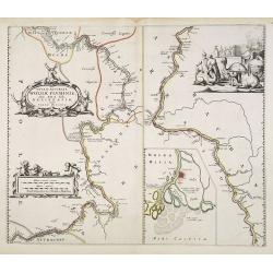
Nova & Accurata Wolgae Fluminis, olim Rha dicti, delineatio Auctore Adamo Oleario..
This is the rare Covens and Mortier's issue of Blaeu's copper plate showing a map of the Volga River in three parts based on the travels of Adam Olearius. The left side o...
Place & Date: Amsterdam, 1720
Selling price: $600
Sold in 2010
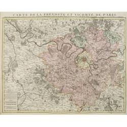
Carte de la prevosté et vicomté de Paris.
Paris and the surrounding territory including major roads.Guillaume de l'Isle (1675-1726) was the son of a cartographer and pupil of Jean Dominique Cassini, who, among ot...
Place & Date: Amsterdam, 1720
Selling price: $480
Sold
Drentia comitatus transisulaniae tabula II. . .
A map of Drente and part of Overijssel. The surveyor of this map is Cornelus Pynacker who made his survey in 1634, and the map was engraved by A. van den Broeck. This is ...
Place & Date: amsterdam, 1720
Selling price: $240
Sold in 2013
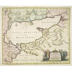
Nouvelle Carte Georaphique De La Mer D'Asof ou de Zabache & Des Palus Meotides . . .
Detailed and decorative map of Sea of Azov, northern Black Sea and Ukraine, including Rostov.The map is very rare and when found it is the first edition, published by Vis...
Place & Date: Amsterdam, ca. 1720
Selling price: $1000
Sold in 2010
Area between the Black Sea and the Caspian Sea.
Nice and scarce map encompassing part of the Near East and the area comprehended between the Black Sea and the Caspian Sea.Centered on Turkey, with an oversized Cyprus. I...
Place & Date: Nuremberg, ca 1720
Selling price: $350
Sold in 2016
Ukrania quae et Terra Cosaccorum..
Homann's map is based upon Beauplan's general map of Ukraine but depicts the political changes of the preceding years. The cartouche portrays Hetman Mazepa with his follo...
Place & Date: Nuremberg, 1720
Selling price: $800
Sold in 2010
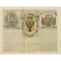
Carte du Gouvernement Civil et Ecclesiastique de Moscovie, l'Etat des Revenus et l'Ordre de la Justice et des Officiers
Very fine engraved text sheet with a small (5.5 x 5.5"), detailed plan of Moscow, plus two large coats-of-arms. Descriptive French text below, size is for the overal...
Place & Date: Amsterdam, ca. 1720
Selling price: $650
Sold in 2010
Tabula Geographica qua pars Russiae Magnae. . .
Homann's map is based upon Beauplan's general map of Ukraine but depicts the political changes of the preceding years. With decorative cartouches. Giving good detail alon...
Place & Date: Nuremburg, 1720
Selling price: $600
Sold in 2010
Arena Martis in Belgio qua Provincia x Catholica Inferioris Germania.
Homann map of northern France, Belgium and Holland - shows from Paris, France in the south up to Rotterdam, Holland in the north. Small inset view of Luttich (Liege, Beli...
Place & Date: Nuremberg, 1720
Selling price: $67
Sold in 2010
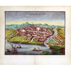
Ariminum Vulgo Rimini.
A splendid view of Rimini, Italy done by Pierre Mortier in the early 18th century.
Place & Date: Amsterdam, ca. 1720
Selling price: $310
Sold in 2010
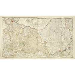
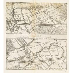
Nieuwe en nette aftekening van de door gravinge die er staat te geschieden beginnende van de stadt Utrecht tot aan Spakenborg in de Zuyder Zee. . .
New and accurate map of the canal from the city of Utrecht to Spakenburg on the Zuider Zee.A map taken from the first truly international speculative crisis in the histor...
Place & Date: Amsterdam, 1720
Selling price: $180
Sold
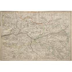
Carte Particuliere d'Anjou et de Touraine, ou de la Partie Meridionale de la Generalite de Tours.
Map of the Anjou region of western France along the Loire River. Include are the cities Tours, Blois and Ancenis (from right to left) along the Loire.left margin: 3/4&quo...
Place & Date: Paris, 1720
Selling price: $26
Sold in 2010
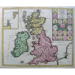
Insulae Britannicae Antiquae ex collatione.
Nice high decorative map with an inset of thule and seems to the Ornkney Isles. There are old coins displayed on the map. On the map are small spots and it has narrrow ma...
Place & Date: Nurnberg, 1720
Selling price: $70
Sold in 2013
Vindelicia Rheti.
Nice original colored map with cartouche and coins on it. There are a few pencil lines on it.
Place & Date: Nurnberg, 1720
Selling price: $160
Sold in 2010
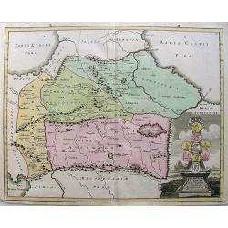
Armenia Utraque.
Nice hand-colored map of Caucuses including Armenia, Georgia, Azerbaijan, Armenia minor, and Australe.A nice cartouche with coins from the countries makes the map attract...
Place & Date: Nurnberg, 1720
Selling price: $150
Sold in 2010
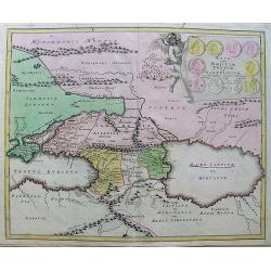
Asia intra Maeotim Pontum et mare Caspium.
Map with handcoloring, a nice cartouche.
Place & Date: Nurnberg, 1720
Selling price: $15
Sold in 2010
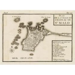
Plan de la ville et château de St Malo
Town-plan of St. Malo with the castle. With a lettered key A-N in lower right corner. In top, Tome 8, Page 414.
Place & Date: France, c. 1720
Selling price: $55
Sold in 2010
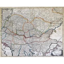
Nova et Accurata Tabula Regnorium Sup. Et Inf. Hungariae It: Sclavoniae, Bosniae, Serviae, Albaniae, Bessarable, ut et Princip. Transylvaniae, Moldavie, Walachiae, Bulgar et Romanie ...
Finely detailed map of Southeastern Europe showing the countries of Hungary, part of Ukraine, Romania, Bulgaria, northern Greece, Albania, Bosnia, Serbia, Croatia and the...
Place & Date: Augsburg, c. 1720
Selling price: $803
Sold in 2010
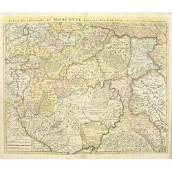
Partie méridionale de Moscovie.
Centered on Moscow including Azow in the bottom part of the map.The Amsterdam publishing firm of Covens and Mortier (1721 - c. 1862) was the successor to the extensive pu...
Place & Date: Amsterdam, ca. 1720
Selling price: $52
Sold in 2012
Ducatus Luxemburgi . . .
Fine map of Luxembourg by J. B. Homann. With one decorative cartouche in lower left corner.
Place & Date: Nuremberg, ca. 1720
Selling price: $200
Sold in 2011
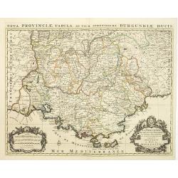
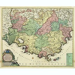
La Provence divisée en ses vigueries et terres adjacentes. . .
Detailed map of southern France. Showing the cities of Marseille, St.Tropez, Cannes, Nice, Antibes, Aix, Orange, Barcelonette, Senez., and Monaco, etc.Prepared by one of ...
Place & Date: Amsterdam, ca 1720
Selling price: $300
Sold in 2010
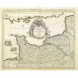
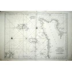
Le Duché et Gouvernement de Normandie divisée en Haute et Basse Normandie.
An attractive large-scale map depicting Normandy. Embellished with a large title-cartouche. Prepared by one of the greatest French mapmakers Hubert Jaillot, and republish...
Place & Date: Amsterdam, ca. 1720
Selling price: $200
Sold in 2010
Magni Ducatus Lithuaniae.
An attractive large-scale map depicting Lithuania, embellished with a large title-cartouche with coat of arms. Published in Amsterdam by Renier and Joshua Ottens. Joachim...
Place & Date: Amsterdam, ca. 1720
Selling price: $900
Sold in 2010
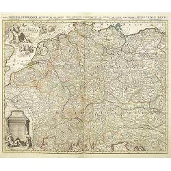
L\'empire d\'Allemagne divisé en tous ses états.
An attractive large-scale map depicting Germany, Poland, the Netherlands, Belgium, Luxemburg, Switzerland and Austria, embellished with a large title-cartouche with coat ...
Place & Date: Amsterdam, ca. 1720
Selling price: $275
Sold in 2011
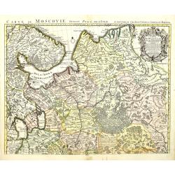
Carte de Moscovie dressée par G.De L\'Isle.
Centered on Moscow, including Lapland. With fine uncolored title cartouche.The Amsterdam publishing firm of Covens and Mortier (1721 – c. 1862) was the successor to the...
Place & Date: Amsterdam, 1720
Selling price: $84
Sold in 2012
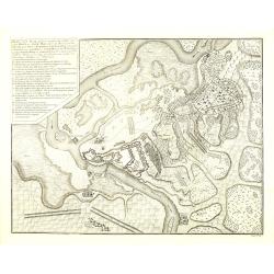
Plan van de Slag gelevert tuschen het Leger van zyne Keyz. . . pris Eugenius van Savoyen. . tusschen Petervaradin en Carlowitz. . .
Uncommon engraving showing the Battle of Petrovaradin or Battle of Peterwardein, which was a decisive victory for Austrian forces in the war between Austria and the Ottom...
Place & Date: Amsterdam, ca. 1720
Selling price: $90
Sold in 2011
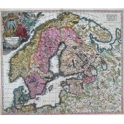
SCANDINAVIA complectens SUECIAE, DANIAE, & NORVEGIAE, REGNA. ex Tabula Joh. Baptista Homann.
A large, detailed map showing all of Scandinavia, including the Baltic region and parts of Russia. An attractive title cartouche decorates the upper left corner of the ma...
Place & Date: Nurnberg, c.1720
Selling price: $275
Sold in 2013
Ukrania quae et Terra Cosaccorum..
Homann's map is based upon Beauplan's general map of Ukraine but depicts the political changes of the preceding years. The cartouche portrays Hetman Mazepa with his follo...
Place & Date: Nuremberg, 1720
Selling price: $1050
Sold in 2011
Comte de gouvernement général de Provence divisé en ses sénéchaussees et vigurie. . .
Map of Provence prepared by Frederik de Wit. The copper plate was acquired by Pierre Mortier. The Amsterdam publishing firm of Covens and Mortier (1721 - c. 1862) was the...
Place & Date: Amsterdam, 1720
Selling price: $650
Sold in 2014
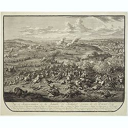
Vue et représentation de la bataille de Hochstedt donnée le 13 d\'aoust 1704. . .
Extremely fine and detailed engraving by Huchtenburg depicting the siege of Hochstedt (Germany) by Price Eugene on August 13th 1704.From Jean Dumont's, "Batailles ga...
Place & Date: The Hague, Pierre Husson, 1720
Selling price: $46
Sold in 2011
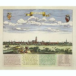
Ultrajectum (Utrecht)
A rare panoramic of Utrecht first published by Dancker Danckerts, here with a changed address. With a numbered key (1-23) to principal places in town and a poem in Latin...
Place & Date: Amsterdam, (1660) c.1720
Selling price: $250
Sold in 2013
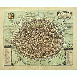
Bruge een der voornaamste steden van Vlaandren.
Detailed plan of Bruges from Flandria Illustrata . In lower right corner "Tom. II. No.37." and title now in Dutch and French, but not with the imprint of Covens...
Place & Date: Amsterdam, 1720
Selling price: $400
Sold in 2011
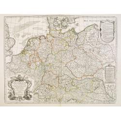
L'Allemagne dressee sur les observations de Tycho-Brahe de Kepler de Selnius. . .
Engraved map in outline color by one of France most important mapmakers. Covers the Low Countries, Germany, Switzerland, Austria, Slovenia, Bohemia and western Poland and...
Place & Date: Paris, c. 1720
Selling price: $50
Sold in 2016
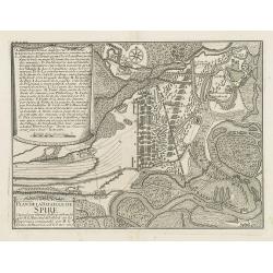
Plan de la bataille de Spire Gagnée par l'armée du Roy comandée par M. le Marechal de Tallard. . .
Showing the siege of Spire on 15 November 1703. With a lettered key A - T in upper left corner.
Place & Date: Paris, c.1720
Selling price: $20
Sold in 2016
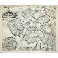
Comitatus Zelandiae tabula..
Fine map covering Zeeland, here in a re-issue by Covens and Mortier. Fine title cartouche and extensive shipping on Westerschelde and other waterways. Shows five islands:...
Place & Date: Amsterdam, c.1720
Selling price: $102
Sold in 2014
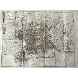
Plan de la Ville de Rome.
Unusual bird's-eye plan of Rome, by Peter van der Aa, probably after De Fer. A detailed view of the city, its expansive walls and the surrounding fields. Shows streets a...
Place & Date: Leiden, 1720
Selling price: $115
Sold in 2011
Hartfordshire.
This is an attractive and rare map of Hertfordshire.Copper engraving. Very attractive, uncommon map in good condition . Robert Morden's miniature maps are among the earli...
Place & Date: London, 1720
Selling price: $120
Sold
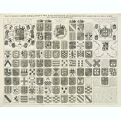
Nouvelle carte héraldique des rois d'Espagne accompagnée des armes . . .
Decorative sheet with coats of arms of Spanish and Portuguese Kings and noble families. This impressive engraving is a wonderful example of Chatelain’s elegant plates f...
Place & Date: Amsterdam, ca. 1720
Selling price: $30
Sold in 2012
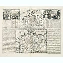
Germania antiqua. / Carte de l'ancienne Germanie . . .
This impressive engraving is a wonderful example of Chatelain’s elegant plates from his "Atlas Historique, Ou Nouvelle Introduction A L’Histoire …", Tom 2...
Place & Date: Amsterdam, ca. 1720
Selling price: $40
Sold in 2012
Carte de etats de la dependance de sa maieste imperiale et des anciens comtes d'Habsbourg.
This impressive engraving is a wonderful example of Chatelain’s elegant plates from his "Atlas Historique, Ou Nouvelle Introduction A L’Histoire …" Showin...
Place & Date: Amsterdam, ca. 1720
Selling price: $61
Sold in 2012
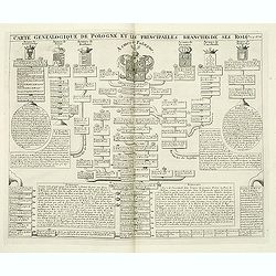
Carte genealogique de Pologne et les princiales. . .
A genealogical tree of the Polish rules from 9th - 17th century. This impressive engraving is a wonderful example of Chatelain’s elegant plates from his "Atlas His...
Place & Date: Amsterdam, ca. 1720
Selling price: $260
Sold in 2012
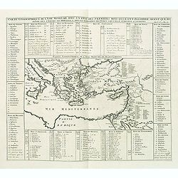
Carte geographique de l'Asie mineure avec un etat des premiers rois. . .
Map of the Mediterranean. This impressive engraving is a wonderful example of Chatelain’s elegant plates from his "Atlas Historique, Ou Nouvelle Introduction A L�...
Place & Date: Amsterdam, ca. 1720
Selling price: $60
Sold in 2012
Gouvernement des etats des sept provinces Unies. . .
Print showing the infrastructure of the Dutch government, including the government of the separate provinces and the government of the state. The plate is adorned with a ...
Place & Date: Amsterdam, ca. 1720
Selling price: $31
Sold in 2012
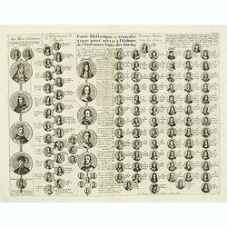
Carte historique & chronologique pour servir à l'histoire des Provinces-Unies des Pais-Bas. . .
Showing the genealogy of the ruling families of Europe who were allied with Holland at the beginning of the eighteenth century. Highly decorative, this impressive genealo...
Place & Date: Amsterdam, ca. 1720
Selling price: $20
Sold in 2012
Parte Alpestre dello Stato di Milano, con il Lago Maggiore di Lugano, e di Como.
Highly detailed copper engraved map of the Lago Maggiore, Lago di Lugano, and Lago di Como area. Includes the cities of Bergamo, Milano, Como, Arona, Bellinzona, Locarno,...
Place & Date: Amsterdam, c1720
Selling price: $480
Sold
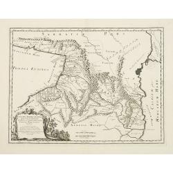
Colchis, Iberia, Albania..
Uncommon map covering the area in-between the Caspian Sea and the Black Sea. With decorative cartouche lower left.
Place & Date: Amsterdam, 1720
Selling price: $290
Sold in 2012
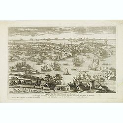
Veue de la Ville de Cadix en Espagne. . .
A very RARE panoramic of the city of Cadiz.Engraved by Pierre Aveline (Paris, c.1656 - 23 May 1722). He was also a print-publisher and print-seller. He probably trained ...
Place & Date: Paris, 1690-1720
Selling price: $150
Sold in 2012
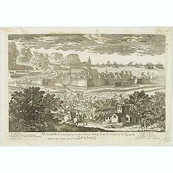
Rozes, Ville de Catalogne par l'Armée du Roy Louis le Grand sur les Espagnols.
A very RARE panoramic of the city of Rozes.Engraved by Pierre Aveline (Paris, c.1656 - 23 May 1722). He was also a print-publisher and print-seller. He probably trained ...
Place & Date: Paris, 1690-1720
Selling price: $175
Sold
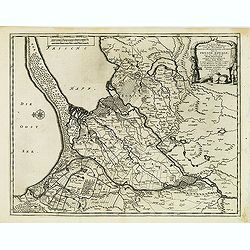
Les trois isles appellées. . . Dantzic Marienbourg et Elbing dans la Prusse Royale. . .
Fine and uncommon map including the town of Danzig and the region south of it. East to the top.From van der Aa's very rare work La galerie agréable du Monde. Very attrac...
Place & Date: Leiden, 1720
Selling price: $300
Sold in 2015
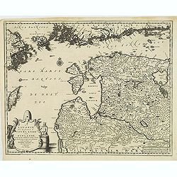
La Lavonie Avec les frontieres de Courlande et de Finlande . . .
Fine and uncommon map showing already quite accurate Livonia, Eastland and Curland. Many villages and towns are named.In the upper part the coast line of Finland.From van...
Place & Date: Leiden, 1720
Selling price: $375
Sold in 2012
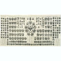
Carte Heraldique representant les armes de l'emperereur. . .du Saint Empire Romain.
This impressive engraving of heraldic arms of the Holy Roman Empire is a wonderful example of Chatelain’s elegant plates from his "Atlas Historique, Ou Nouvelle In...
Place & Date: Amsterdam, ca. 1720
Selling price: $80
Sold in 2012
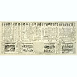
Carte généalogique des branches naturelles ou du coté gauche de la maison des Bourbons. . .
Interesting sheet with an impressive engraving ornamented with numerous vignettes representing French castles of Meudon, Versailles, St. Germain en Laye and Fontaine Blea...
Place & Date: Amsterdam, ca. 1720
Selling price: $145
Sold in 2012
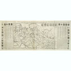
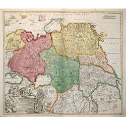
Carte générale des états du Czar Empereur de Moscovie ou l'on voit . . .
General map of Russia of the states of the Czar Emperor of Muscovy showing his possessions in Europe and Asia. To the left and right explanatory panels with coats of arms...
Place & Date: Amsterdam, ca. 1720
Selling price: $180
Sold in 2012





![Nouvelle carte de la Suisse. Divisée en ses treize cantons. . . [4 sheets]](/uploads/cache/01476-250x250.jpg)

