Browse Listings in Europe
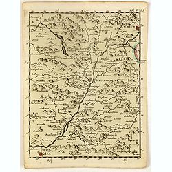
(Embrun, Gap, Sisteron, etc.)
Rare miniature map including the towns of Embrun, Gap, Sisteron, etc. From "Le theatre De Bellone, Contenant 48. nouvelles Cartes Geographiques, Des Païs-Bas Espagn...
Place & Date: Amsterdam, 1710
Selling price: $25
Sold in 2020
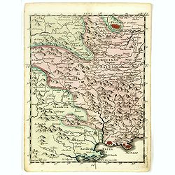
(Pinerolo, Brueil, Antibe, Monaco, etc.)
Rare miniature map including the towns of Pinerolo, Brueil, Antibe, Monaco, etc. From "Le theatre De Bellone, Contenant 48. nouvelles Cartes Geographiques, Des Païs...
Place & Date: Amsterdam, 1710
Selling price: $25
Sold in 2020
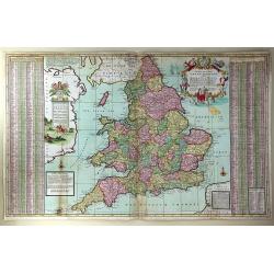
The South Part of Great Britain, Called, England and Wales. Containing All ye Cities, Market Towns, Boroughs: And whatever Places have ye Election of Members of Parliament
A large and finely detailed, copper engraved map featuring hundreds of villages, towns, mountains and much more. In the title, the "South Part" of Great Britain...
Place & Date: London, 1710
Selling price: $355
Sold in 2016
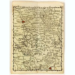
(La Duché de Bourgogne, Troyes, Dion, etc.)
Rare miniature map of La Duché de Bourgogne, including the towns of Troyes, Dion, etc. From "Le theatre De Bellone, Contenant 48. nouvelles Cartes Geographiques, De...
Place & Date: Amsterdam, 1710
Selling price: $25
Sold in 2017
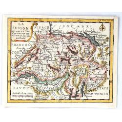
La Suisse Divisee en XIII Cantons en Ses Alliez et Sujets par Inselin
A fine little map of Switzerland and its thirteen Cantons. Features a simple cartouche and a compass rose. Engraved by Inselin.Charles Inselin (Inslain), was a French eng...
Place & Date: Paris, ca 1710
Selling price: $96
Sold in 2017
Plan de la Bataille D'Oudenaerde.
A plan of the Battle of Oudenaerde fought on July 11th 1708. A finely engraved plan with excellent detail of the fortifications of Oudenaerde in Belgium. With a decorativ...
Place & Date: Amsterdam, 1710
Selling price: $140
Sold in 2018
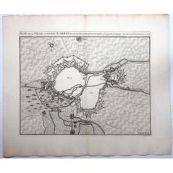
Plan de la Ville et Citadelle D'Arras.
A detailed plan of the town and citadelle of Arras. Arras is the capital of the Pas-de-Calais department of France, which forms part of the region of Hauts-de-France. Ar...
Place & Date: Amsterdam, 1710
Selling price: $26
Sold in 2020
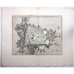
Plan de la Ville et Citadelle de Cambray.
A detailed plan of the town and Citadelle of Cambray. Cambrai, (old spelling Cambray) is a commune in the Nord department and in the Hauts-de-France region of France on ...
Place & Date: Amsterdam, 1710
Selling price: $25
Sold in 2019
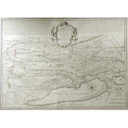
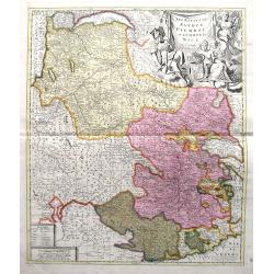
Les Estats De Savoye, Piemont, et le Comte de Nice.
An attractive folio map of northern Italy (Piemonte and Torino) and Savoie. Extends from Lake Geneva until Nice and Monaco. Large decorative cartouche with the coat of ar...
Place & Date: Amsterdam, ca. 1710
Selling price: $40
Sold in 2018
Tabula Nova Provinciae UltraJectinae. . .
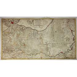
This striking map was prepared by Nicolas Visscher, now published by Petrus Schenk. It shows the land development in Gelderland, Holland, near the Zuyder Zee and it shows...
Place & Date: Amsterdam, 1710
Selling price: $155
Sold in 2020
Tabula Altera Quae Continet Potissima Asiae et Reliqua Europae ac Africae.
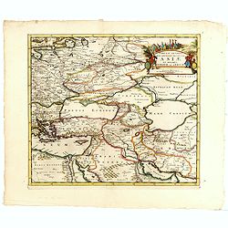
Uncommon map covering a broad region centered on the Black and Caspian Seas. This was a region long disputed between the Christian and Islamic empires and the title carto...
Place & Date: Amsterdam, 1710
Selling price: $150
Sold in 2019
Carte du Royaume de Danemarc.
Guillaume de l'Isle's (1675-1726) well deserved reputation as one of the foremost geographers of the 18th century meant that his maps were influential for many years afte...
Place & Date: Paris, 1710
Selling price: $27
Sold in 2022
Totius Danubii Nova & Accuratiss. Tabula, Universam Simul Turciam Europaeam Hungarium Magnam Germaniae Partem...
A very rare, large map depicting Italy, Sicily, Sardinia, Corsica, Greece, part of Turkey, Hungary and part of the Balkans region. Originally from France, the family de l...
Place & Date: Amsterdam, 1710
Selling price: $850
Sold in 2018
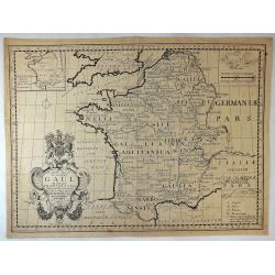
New Map of Ancient Gaul or Gallia Transalpina.
A fine map of Ancient France engraved by Robert Spofforth, and published by Wells for "A New Sett of Maps Both of Ancient and Present Geography". This map was d...
Place & Date: London, 1710
Selling price: $25
Sold in 2023
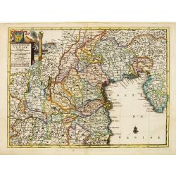
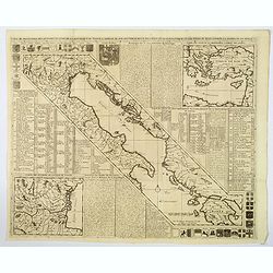
Carte de Geographie des Differents Etats de la Republique de Venise. . .
An attractive and detailed engraving of the Gulf of Venice and adjacent Italian and Dalmatian coastlines. The main map runs diagonally across the sheet with inset detail ...
Place & Date: Amsterdam, 1710
Selling price: $220
Sold in 2019
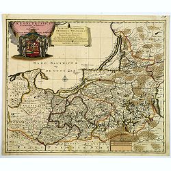
Regni Prussici Accuratissima Delineatio Studio Opera.
A striking map of Prussia covering Danzig, (Poland) Marienburg, Elbing, Braunsberg, Konigsberg (Russia) and up into modern-day Lithuania and Memel. The map has a remarkab...
Place & Date: Amsterdam, ca 1710
Selling price: $130
Sold in 2019
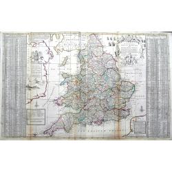
The South Part of Great Britain, called Engalnd and Wales.
Herman's Moll's magnificently detailed large scale map of England and Wales. Including a part of Ireland. Filled with cities, roads showing the distances between towns, r...
Place & Date: London, ca 1710
Selling price: $95
Sold in 2019
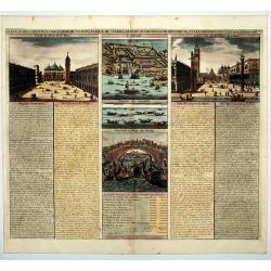
Carte du Gouvernement Civil et Politique de l a Republique de Venise ses Differens Conseils de Palais de St Marc et Celui des procurateurs.
This impressive engraving is a wonderful example of Chatelain's elegant plates. It provides a detailed description of the infrastructure of the Venetian government. Ornam...
Place & Date: Amsterdam, 1710
Selling price: $95
Sold in 2020
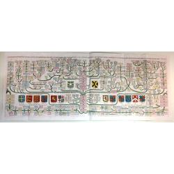
[German liberty heroes tree] Trophee Eleve a la Gloire des Premiers Heros de la Liberte Germanique et a celle de leurs decendants.
An elaborate tree featuring 41 coats of arms and family crests and pictures of the hero's of german history. The base of the tree comes from a large tankard adorned by se...
Place & Date: Paris, 1710
Selling price: $140
Sold in 2020
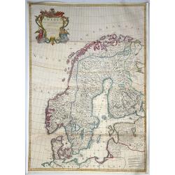
Sweden Corrected from the Observations Communicated to the Royal Society in London and the Royal Academy in Paris. . .
A large-scale general map of Scandinavia. In addition to Sweden, it shows Norway, Denmark and Finland. The new city of St. Petersburg (founded 1703) is shown at the head ...
Place & Date: London, 1710
Selling price: $123
Sold in 2020
Exactissima Palatinatus ad Rhenum. . .
A nice detailed map covering the southern part of the river Rhine. Including the towns of Frankfurt, Heidelberg, Neustadt, Saarbrucken, Mainz, etc. Embellished with a lov...
Place & Date: Nuremberg, 1710
Selling price: $50
Sold in 2020
Londinum - London
A rare and beautifully engraved and richly detailed panoramic view of London. With in lower part description of London in German and Latin. Published by Joseph Friederich...
Place & Date: Augsburg 1711
Selling price: $450
Sold
Partie Septentrionale du Royaume de Portugal.
Detailed map of the northern part of Portugal and the northern tip of Morocco. Complementing with lot 08314.
Place & Date: Paris, 1711
Selling price: $135
Sold in 2011
Partie Meridionale du Royaume de Portugal. . .
Detailed map of the southern part of Portugal and the northern tip of Morocco. Fine-scale cartouche. Complementing with lot 08315.
Place & Date: Paris, 1711
Selling price: $125
Sold in 2011
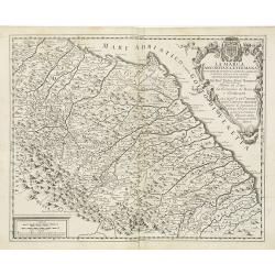
La Marca Anconitana, e Fermana . . .
A uncommon map of part of the March regions in the province of Ancon in central Italy. Based on the reports of Giacomo Cantelli da Vignola and published in Roma in Giacom...
Place & Date: Rome, ca. 1711
Selling price: $200
Sold in 2009
Accurate geographische delineation des stiffts ambst Wurtzen nebst. . .
Detailed map of the Saxony area along the Mulde River, with Eilenburg, Bad Düben and Wurzen to the northeast of Leipzig with two very decorative vignettes/cartouches wit...
Place & Date: Amsterdam, 1711
Selling price: $50
Sold in 2021
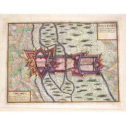
Bouchain: Ville Forte du Comte de Hainaut Situee Sur la Riviere d'Escaut.
Fine little plan of the fortification of Bouchain by Pieter Devel and published by Eugene Henry Fricx. The Siege of Bouchain (August – September 1711), was a siege of ...
Place & Date: Brussels, 1711
Selling price: $35
Sold in 2013
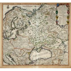
Carte Pour l\'Intelligence des Affaires Presente Des Turcs, des Tartares, des Hongrois, des Polonois, des Suedois, et des Moscovites Aux Environs . . .
Scarce Nicolas de Fer map of the region centred on Russia and extending east to the mouth of the Volga in the Caspian Sea, west to the Baltic, South to the Black Sea, Ita...
Place & Date: Paris, 1711
Selling price: $850
Sold in 2014
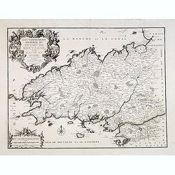
Gouvernement général du Duché de Bretagne, Divisée en Haute et Basse.
First state. Separation in Upper and Lower Brittany as shown on the 1705 plate is now corrected.
Place & Date: Paris, 1711
Selling price: $150
Sold in 2015
Carte généalogique de la maison de Plantagenette et des ducs Normandie avec les branches, et les alliances quelles, ont formées; pour conduire a l'intelligence de l'histoire d'Angleterre et d'Ecosse et d'Irlande.
A very attractive, hand colored genealogical chart of mediaeval English royal families, including thirteen coats of arms of Edward the Confessor, Edward III, the Plantage...
Place & Date: Paris, 1711
Selling price: $230
Sold in 2015
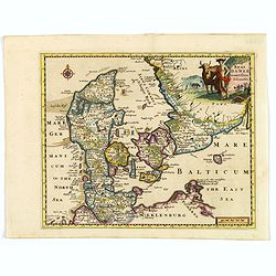
Regni Daniae accuratissima delineatio.
A delightful, attractive small map of Denmark by Philipp Cluver, published in the early years of the eighteenth century. The map has nice, eye catching coloring, enhanced...
Place & Date: London, 1711
Selling price: $65
Sold in 2018
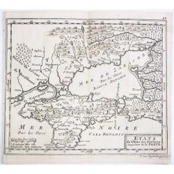
ETATS du Cham des Tartares dependent de la Porte.
A rare copper engraved map of the southern Ukraine and the Crimea peninsula. From 'Theatre complete et particularise de la Guerre du Nort', La Haye ,1711.
Place & Date: La Haye, 1711
Selling price: $250
Sold in 2021
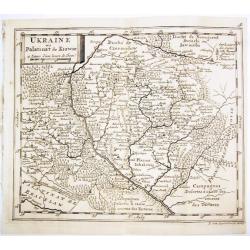
UKRAINE ou Palatinat de Kiowie.
A rare copper engraved map of the central Ukraine and the Kiev surrounding. From 'Theatre complet et particularise de la Guerre du Nort', La Haye ,1711.
Place & Date: La Haye, 1711
Selling price: $500
Sold in 2021
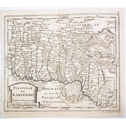
PALATINAT DE KAMIENIEC.
A rare copper engraved map of the former Polish Palatinate of Kamieniec in the south-western Ukraine. From 'Theatre complet et particularise de la Guerre du Nort', La Hay...
Place & Date: La Haye, 1711
Selling price: $400
Sold in 2021
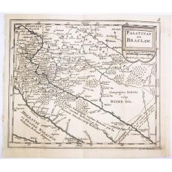
PALATINAT DE BRACLAW.
A rare copper engraved map of the old Polish Palatinate of Braclaw in the south-western Ukraine. From 'Theatre complet et particularise de la Guerre du Nort', La Haye , 1...
Place & Date: La Haye, 1711
Selling price: $350
Sold in 2021
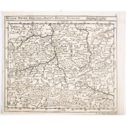
RUSSIE NOIRE, POKUTIE,et HAUTE ou PETITE POLOGNE.
A rare copper engraved map of the western Ukraine and southern Poland. From 'Theatre complet et particularise de la Guerre du Nort', La Haye , 1711.
Place & Date: La Haye, 1711
Selling price: $400
Sold in 2021
Summa Europae Antique Descriptio.
Striking and decorative map of Europe, with an ornate cartouche. Nice dark impression. From Cluverius' "Introductio in Universam Geographiam" (first issued in 1...
Place & Date: London, 1711
Selling price: $10
Sold in 2023
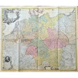
Tabula Novissima Totius Germaniae praecipue ex designatione viri celeberrimi Dni Johannis Caspari Eisenschmidii...
A very rare large map of Germany plus bordering countries, printed from 4 plates. One of Homann's few wall maps, and one of the most accurate maps of Germany at that time...
Place & Date: Nuremberg, ca. 1711
Selling price: $600
Sold in 2023
't Hooge Heemraedschap van Delflant.
Beautifully engraved map, a reduced from of the wall map, of 't Hooge Heemraedschap van Delfland prepared by Nicolaas and Jacob Kruikius. Decorated with the Delfland coat...
Place & Date: Delft, 1712
Selling price: $1557
Sold
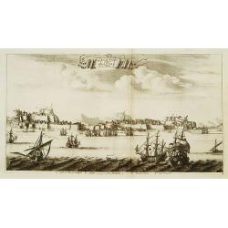
De stadt Korfu, eertytss Korcyra in 't verschiet.
A beautifully engraved and richly detailed panoramic view of the town of Corfu. In lower part a key to five principal spots in the town. From Galerie Agréable du Monde, ...
Place & Date: Leiden 1712
Selling price: $300
Sold
Graecia Sophiani per Abrahamum Ortelium..
A beautifully engraved and richly detailed map of Ancient Greece, after Abraham Ortelius who is given credit in the title. Engraved by J.stemmers.From Galerie Agréable d...
Place & Date: Leiden 1712
Selling price: $300
Sold
Carte du Bourdelois du Perigord et des Provinces voisines.
Guillaume de l' Isle (1675-1724), Royal Geographer, was the most influential cartographer of the first quarter of the 18th century. 'Atlas de Géographie' (1700-12), post...
Place & Date: Paris, 1712
Selling price: $175
Sold
Tavola Generale della Provincia dell' Umbria . . .
An uncommon, map of part of the Umbria region, based on the reports of Giacomo Cantelli da Vignola and published in Roma in Giacomo de Rossi's world atlas "Mercurio ...
Place & Date: Rome, ca. 1712
Selling price: $250
Sold in 2009
Partie Meridionale de Picardie
Finely detailed map of the Picardy region of northwestern France., including the regional capital of Amiens in the center of the map. A map key is in the bottom left corn...
Place & Date: Paris, 1712
Selling price: $9
Sold in 2010
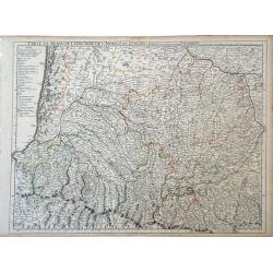
Carte du Bearn de la Bigorre de L'Armagna et des Pays Voisins.
Map of the Pyrenees Mountains regions of France and Spain. Depicts the regions of Aquitaine and Midi-Pyrenees in France and Navarra in Spain. Also, shows abbeys by religi...
Place & Date: Paris, 1712
Selling price: $89
Sold in 2010
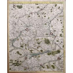
Theatre de la guerre en Flandres.
Unusual large-scale map of the French-Belgium border. Shows the area from Douai and Valenciennes to Ypres/Ieper and Courtrai/Kortrijk. Includes Roubaix, Lille, and Tourna...
Place & Date: Brussels, 1712
Selling price: $81
Sold in 2014
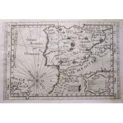
Tabula totius Hispaniae.
Scarce map extending from Madeira and Lanzarote, to the border of France. Published in Montecalerio's "Chorographica descriptio Provinciarum et Conventuum Fratrum mi...
Place & Date: Rome, 1643-1712
Selling price: $160
Sold in 2016
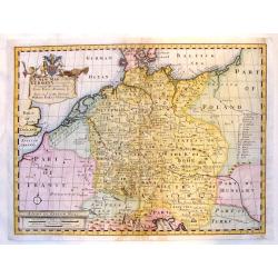
A New Map of Present Germany, Shewing Its Principal divisions, Cities, Towns, Rivrs, Mountains &c.
A fine copper engraved map of "Present Germany". Fancy, large title cartouche with the coat of arms of William, Duke of Gloucester, son of Queen Anne, to whom t...
Place & Date: London, 1712
Selling price: $45
Sold in 2015
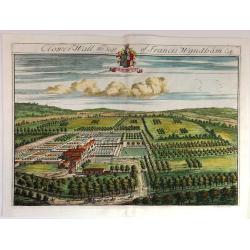
Clower-Wall the Seat of Francis Wyndham, Esq.
A large, fine, copper engraved print illustrating a birds-eye view of Clower-Wall, the Seat of Francis Wyndham, Esq.Published in 1712 for Robert Atkyns. Drawn and engrave...
Place & Date: London, 1712
Selling price: $42
Sold in 2019
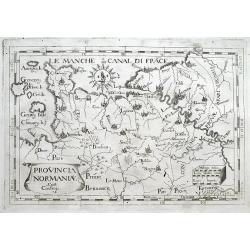
Provincia Normaniae.
Scarce map of Normandy, extending from the Channel Islands to Paris. Published in Montecalerio's "Chorographica descriptio Provinciarum et Conventuum Fratrum minorum...
Place & Date: Rome, 1643-1712
Selling price: $23
Sold in 2016
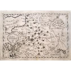
Prova Parisiensis...
Scarce map centred on Paris and extending from Calais to Auxerre, and east until Metz. Published in Montecalerio's "Chorographica descriptio Provinciarum et Conventu...
Place & Date: Rome, 1643-1712
Selling price: $20
Sold in 2016
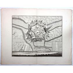
Plan et Profil de la Ville de Maubeuge.
A detailed plan of the town and profile of Maubeuge. Maubeuge is a commune in the Nord department in northern France. It is situated on both banks of the Sambre River, e...
Place & Date: Amsterdam, 1712
Selling price: $25
Sold in 2019
Coberly the Seat of Jonathan Castelman Esq.
A fine, large, detailed birds-eye view of Coberly by Kip, who produced the engravings for the remarkable "The Ancient & Present State of Gloucestershire", p...
Place & Date: London, 1712
Selling price: $15
Sold in 2023
Stanway, the Seat of John Tracey Esq / Didmartin, the Seat of Robert Codrington Esq.
An attractive, and striking pair of early eighteenth century copperplate engravings of staely English homes, from Sir Robert Atkyn's The Ancient and Present State of Glou...
Place & Date: London, ca 1712
Selling price: $100
Sold in 2018
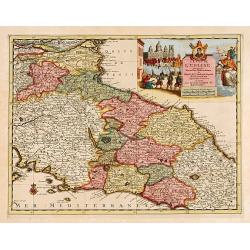
L'Etat de L'Eglise..
Although not renowned for the originality of his work, Pieter van der Aa is highly thought of for the design and quality of his output. Showing central part of Italy. Its...
Place & Date: Amsterdam 1713
Selling price: $320
Sold
Denbighshire.
Highly decorative map of the county of Denbighshire, located in the northwest corner of Wales. The upper right corner inset contains a plan of the town of Denbigh, along ...
Place & Date: London 1713
Selling price: $300
Sold
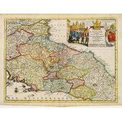
L'Etat de L'Eglise..
Although not renowned for the originality of his work, Pieter van der Aa is highly thought of for the design and quality of his output. Showing central part of Italy. Its...
Place & Date: Amsterdam 1713
Selling price: $105
Sold
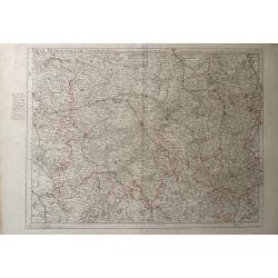
Partie Meridionale de Champagne.
A very detailed map of the Champagne region in France by Guillaume De L'Isle. Major cities such as Provins and Chatillon are included as well as major rivers, lakes and f...
Place & Date: Paris, 1713
Selling price: $7
Sold in 2010
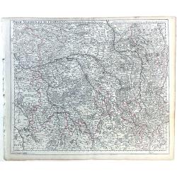
Parte Meridionale de Champagne.
Map of northeastern France centered on the southern Champagne region. The map includes other surrounding regions including Brie, Burgundy, Lorraine and Berry, and numerou...
Place & Date: Paris, 1713
Selling price: $38
Sold in 2010
Carte de la Souverainete de Neuchatel et Vallangin.
Map of the Neuchatel region of Switzerland, showing the town of Neuchatel as well as Lake Neuchatel. This finely detailed map shows the shows abbeys and priories, castles...
Place & Date: Paris, 1713
Selling price: $20
Sold in 2010
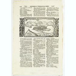
Chersonesus.
Town view of Sevastopol, set in a text page with Latin text. Taken from "Universus Terrarum Orbis", printed in Padua in 1713.
Place & Date: Padua, Lasor a Varea, 1713
Selling price: $85
Sold in 2011
Lunden.
A quaint little city view of the town Lunden in Germany. Engraved for Francesco Valegio's townbook: "Raccolta di le piv illustri et farmose citta di tutto il mondo.&...
Place & Date: Venice, 1600 or 1713
Selling price: $90
Sold in 2014
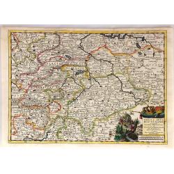
Cercle de la Haute Saxe...
This quaint map shows the Upper Saxon Circle according to the latest map of Pierre Van der Aa. The area encompasses parts of Saxony, Thuringia and Saxony-Anhalt. Central ...
Place & Date: Leiden, 1713
Selling price: $29
Sold in 2018
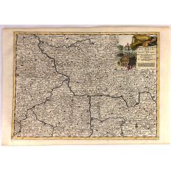
Cercle Electoral du Rhin...
"Cercle Electoral du Rhin. Suivant les Nouvelles Observations de Mess.rs de l'Academie Royale des Sciences, etc. Augmentees de Nouveau. / Cercle du Haut Rhin. Suivan...
Place & Date: Leiden, 1713
Selling price: $110
Sold in 2020
Le Royaume de Danemark Avec Une Partie de la Suede.
A detailed map of Denmark and southwestern Sweden, published by Van der Aa in his “Le Nouveau Theatre du Monde . . . .” This bold map of Denmark and southern Sweden s...
Place & Date: Leiden, 1713
Selling price: $65
Sold in 2018
Cercle de Westphalie.
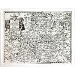
A detailed map by Pierre van der Aa of the German province of Westphalie, following the new observations of the “Academie Royale des Sciences”. It has a beautiful car...
Place & Date: Leiden, 1713
Selling price: $11
Sold in 2016
Moscovia.
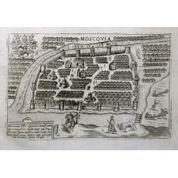
An early plan of Moscow set on a page with latin text. Small but detailed view with many buildings, the city fortifications, and figures including a mounted archer. On th...
Place & Date: Padua, 1713
Selling price: $185
Sold in 2016
Piccola Tartaria.
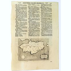
A basic map of the Crimea, with little detail shown. Small strap-work cartouche, set in a text page with Latin text. Taken from "Universus Terrarum Orbis", prin...
Place & Date: Padua, Lasor a Varea, 1713
Selling price: $95
Sold in 2016
Moraviae Nova et post omnes priores accuratissima delineatio.
The cartographer of this map was Johan Amos Comenius (1592-1670), Czech cartographer and priest. In the upper part four views of Polna, Olmuts, Brin and Znaim.The sixth s...
Place & Date: Amsterdam, between 1680 and 1713
Selling price: $1250
Sold in 2021
Moscovia / Moscovia Imperium.
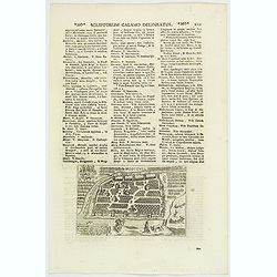
An early plan of Moscow, set in text, first published ca.1600, with the buildings wonderfully shown in perspective. Based on the Braun & Hogenberg map, it is decorate...
Place & Date: Padua, 1713
Selling price: $80
Sold in 2020
Le Duche de Lunebourg. . .
A lovely, detailed map by Pierre Van der AA of the northern German region of Luneburg in Lower Saxony, roughly situated between the Elber and the Aller Rivers. Luneburg i...
Place & Date: Leiden, 1713
Selling price: $6
Sold in 2021
Carte du Bourdelois du Perigord et des provinces voisines..
Map covering the area from La Rochelle till the surrounding country of Bordeaux to the south and till Limoges and Cahors to the east.
Place & Date: Paris 1714
Selling price: $120
Sold
Le Royaume de Naples..
Uncommon and detailed map of southern Italy, from Nouvelle atlas, trés-exact et fort commode pour toutes sortes de personnes, contenant les principales cartes géographi...
Place & Date: Leiden 1714
Selling price: $131
Sold
L'Italie.
Uncommon and detailed map of Italy, from Nouvelle atlas, trés-exact et fort commode pour toutes sortes de personnes, contenant les principales cartes géographiques.. .A...
Place & Date: Leiden 1714
Selling price: $135
Sold
Seigneurie de Venise..
Uncommon and detailed map of the Gulf of Venice and its mainland, from Nouvelle atlas, trés-exact et fort commode pour toutes sortes de personnes, contenant les principa...
Place & Date: Leiden 1714
Selling price: $131
Sold
Tabula Generalis Jutiae.
Johan Baptist Homann (1663-1724). Outstanding German cartographer. Founder of the Homann publishing house. After the death of the son Johann Christoph, the firm continued...
Place & Date: Nurnberg, 1714
Selling price: $320
Sold
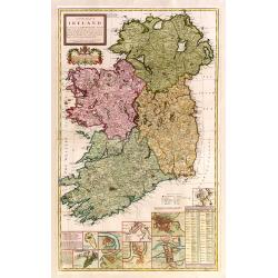
A new map of Ireland devided into its provinces..
A good copy of this very decorative and detailed large scale map. 12 inset plans of the towns of Dublin, Cork, Kinsale, Limerick, Waterford and Galway, and of the Giants'...
Place & Date: London 1714
Selling price: $1100
Sold
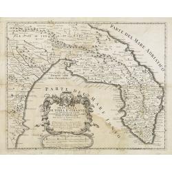
Provincia Di Terra d'Otranto . . .
In lower left hand corner a large ornamental title cartouche. A decorative map of the Otranto region in Italy, based on the reports of Giacomo Cantelli da Vignola and pub...
Place & Date: Rome, ca. 1714
Selling price: $500
Sold
Belgium Catholic, feu Decem Province, Germany Interiors.
Map of Belgium. When charting the history of map-making, one discovers that each country saw the emergence of a new nation as the dominant force in the field. In the 15t...
Place & Date: Nuremberg, c. 1714
Selling price: $55
Sold in 2010
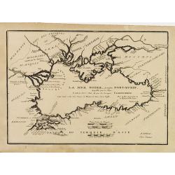
(LA MER NOIRE, Autrefois PONT-EUXIN, . . .)
Maps of the region Black sea, showing the cities of Constantinople, Heraclee, Kafa. From his 'Atlas Curieux'.Accomplanied by an engraved text sheet "Description de l...
Place & Date: Paris, 1714
Selling price: $150
Sold in 2010



![[German liberty heroes tree] Trophee Eleve a la Gloire des Premiers Heros de la Liberte Germanique et a celle de leurs decendants.](/uploads/cache/83599-250x250.jpg)
