Browse Listings in Europe
Accuratissima Ducatus Silesiae eique Regnum Bohemiae..
Rare issue of Theodorus Danckert's attractive map of part of Poland, centered on Breslau.Decorative title cartouche upper right hand corner.
Place & Date: Amsterdam, 1700
Selling price: $650
Sold in 2013
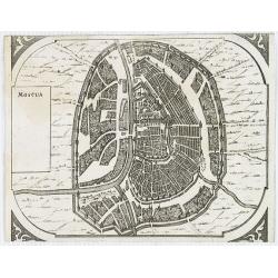
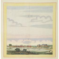
Moscua.
Very rare bird's-eye view of Moscow, intended to be used for a "carte à figures" wall-map, published by Frederick de Wit, to accompany the his wall map of Euro...
Place & Date: Amsterdam, 1672-1700
Selling price: $750
Sold in 2009
ucatuum Livonia et Curlandiae Novissima Tabula in Quibus sunt Estonia Litlandia et. . .
Nice engraved map of Estonia and Lithuania and parts of Russia. Decorative title cartouche supported by cherubs in the upper left corner.Uncommon issue published by Joach...
Place & Date: Amsterdam, 1700
Selling price: $700
Sold in 2010
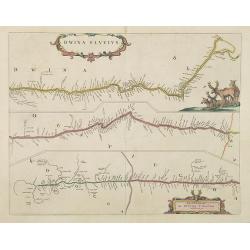
Dwina Fluvius.
Covens and Mortier's re-print of Joan Blaeu's map of 1662, first issued in the Atlas Maior. The course of the river from its source, a confluence in the Vologod Province ...
Place & Date: Amsterdam, 1700
Selling price: $500
Sold in 2010
Epirus Pyrrhi Patria / Novantiqua Epirus quae hodie Albania.
A Sanson map of Greece and Albania published by the Covens and Mortier firm.
Place & Date: Amsterdam, 1700
Selling price: $210
Sold in 2010
[No title] La mer noire, autrefois Pont-Euxin. . .
Maps of the region Black sea, showing the cities of Constantinople, Heraclee, Kafa. . . From his 'Atlas Curieux'.
Place & Date: Paris, 1700
Selling price: $250
Sold in 2010
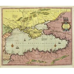
Ponti euxini cum periplus auctore N.Sanson.
A very rare map of the Black Sea area prepared by Nicolas Sanson. The map is in stunning full colors.
Place & Date: Amsterdam, 1700
Selling price: $1700
Sold in 2010
Theatre de la Guerre en Espagne et en Portugal.
A exceptional detailed wall map of Spain and Portugal with a huge beautiful designed title cartouche. Printed from 4 plates, two each already joined. Size of both sheets ...
Place & Date: Amsterdam, 1700
Selling price: $4100
Sold in 2010
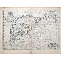
A New Map of Denmark, Norway, Sweden, & Moscovy shewing their present general divisions, chief cities or towns, rivers and mountains & c.
Fine map of Scandinavia and Russia from 1700, dedicated to the Duke of Glocester. Cartouche with English coat of arms is in the upper left corner.
Place & Date: London, 1700
Selling price: $20
Sold in 2010
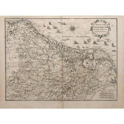
Novus XVII Inferioris Germania, Proviniarum Typus.
Finely detailed map of Belgium and Holland from Merian's Topographia Germania Inferioris. Ships, sea monsters, and a pretty compass rose are depicted in the North Sea.
Place & Date: Frankfurt, 1700
Selling price: $95
Sold in 2010
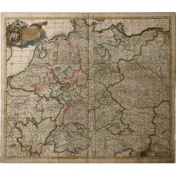
Nova et Prae Caeteris Alis Correcta Germaniae Tubula Comprehendens Accuratam X. Circulorum, Bohemiae, Regni, AC Univerfae Helvetia Defcriptionem, Cum Divifione in Caeterais Partes.
An overall map of Western Europe by Frederick De Witt which includes Saxony, France, Poland, Bohemia, and parts of Northern Italy down to the Venetian Gulf. Major cities ...
Place & Date: Amsterdam, cira 1700
Selling price: $85
Sold in 2010
Regnun Scotiae, feu pars Septent: Magnae Brittanniae, divifa in Scotiam Septent: et Auftralem, porro autem in Comit: Rossiam Maraviam, Praefect: Lavdoniam, Renefroviam et Arandum, una cum Infulis Ebuda Occident: et Orient: Mula, Jura et Ila.
A wonderfully detailed map of Scotland and the islands off its coast by Gerard and Leonard Valk. This map includes major cities, rivers and towns, and at the top right in...
Place & Date: Amsterdam, 1700
Selling price: $95
Sold in 2010
Theatre de la Guerre en Austriche, Baviere, Souabe, Le Tirol. Et le Pays aux Environs.
Colorful map of the Kingdom of Bohemia located in central Europe, present day-Czech Republic and Austria, until its dissolution in 1806. Different regions of Bohemia are ...
Place & Date: Amsterdam, c. 1700
Selling price: $236
Sold in 2010
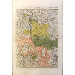
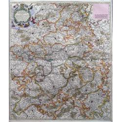
Partie Septentrionalo Des Pats qui sont situez entre le Rhein, la Saare, la Moselle, et la Basse Alsace.
This vibrantly colorful map focuses on the Rhine River region in southern Germany and its tributaries, extending into France. The Rhine is illustrated in the center of th...
Place & Date: Amsterdam, c. 1700
Selling price: $250
Sold in 2010
[No tittle] The Sea Coasts south of England and Brittany in France.
Detailed of the Channel with Cornwall and Brittany.
Place & Date: London, c.1700
Selling price: $160
Sold in 2011
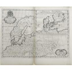
A New Map of Ancient Scandinavia together with as much more of y Northern Part of Ancient Europe as Anvers to Present Denmark & Moscovia
Map of Scandinavia, with an inset map of Denmark, from Edward Wells' "A New Sett Of Mapps Of Ancient And Present Geography ..." Wells was a teacher of mathemati...
Place & Date: Oxford, 1700
Selling price: $141
Sold in 2010
Regni Poloniae et Ducatus Lithuaniae, Volinae, Podoliae, Ucraniae, Prussiae et Curlandiae . . .
Finely detailed map of the Baltic Sea region, including the regions of Poland, Hungary, Prussia, Ukraine, eastern Germany, and southwest Sweden by Frederick de Wit. Villa...
Place & Date: Amsterdam, c.1700
Selling price: $950
Sold in 2010
A New Map of Antient Thrace: as also Of the Northern Parts of Old Greece, Macedonia and Thessalia Dedicated to His Highness William Ducke of Glocester.
Map of Thrace, a historical and geographical region in Southeast Europe, currently the area of Northern Greece and Bulgaria, including parts of Macedonia and Thesalia (no...
Place & Date: Oxford, c. 1700
Selling price: $55
Sold in 2010
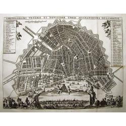
AMSTELODAMI VETERIS ET NOVISSIMAE URBIS ACCURATISSIMA DELINEATIO
SCARCE and unknown city plan of Amsterdam by or after (?) Visscher. Smaller edition of Visschers famous map of Amsterdam from ca. 1678. Embellished with numerous figures...
Place & Date: ca. 1700
Selling price: $600
Sold in 2011
Accuratissima Europae tabula multis locis correcta. . .
Uncommon map of Europe with fine title cartouche, likely after a design by Philip Tideman.
Place & Date: Amsterdam, c.1700
Selling price: $850
Sold in 2011
Leyden.
Manuscript fortification town-plan of Leiden, as it was at about 1670. With a numbered key (1-46) pointing to the important buildings, streets and canals in town.
Place & Date: France, ca. 1670-1700
Selling price: $1645
Sold in 2013
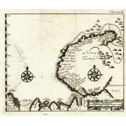
Nova Zemla.
Unknown copper-engraved map of Nowaja Semlja (Новая Земля). Shows t...
Place & Date: ca.1700
Selling price: $160
Sold in 2011
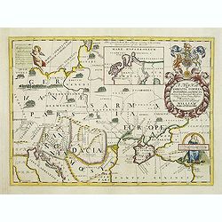
A new map of Sarmatia Europaea Pannonia and Dacia. . .
Decorative map of the region between the Baltic, Adriatic and Black Seas. This decorative map was part of a set of 22 maps dedicated to William, Duke of Gloucester, who w...
Place & Date: Oxford, 1700
Selling price: $110
Sold in 2011
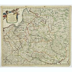
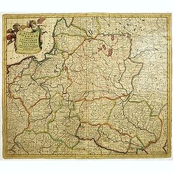
Regni Poloniae et Ducatus Lithuaniae Voliniae..
Rare map issued by Justus Danckerts attractive map of Poland and Lithuania.Decorative title cartouche upper left hand corner.The map has strong original coloring, the tit...
Place & Date: Amsterdam, 1700
Selling price: $900
Sold in 2011
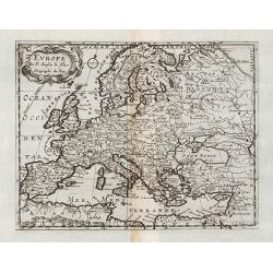
Europe.
General map of Europe. From Description de tout l'Univers, published by François Halma.
Place & Date: Amsterdam, 1700
Selling price: $120
Sold in 2011
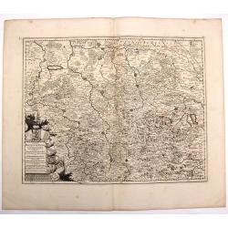
Northamptoniae Comitatus Descriptio.
This rare and important map is one of a series of county maps attributed to William Smith the antiquarian, each lacking the cartographer's name and consequently often ref...
Place & Date: London, 1700
Selling price: $700
Sold in 2013
Regni Poloniae et Ducatus Lithuaniae Voliniae. . .
Rare issue of Justus Danckerts attractive map of Poland and Lithuania.Decorative title cartouche upper left hand corner.The map has strong original coloring, the titles f...
Place & Date: Amsterdam, 1700
Selling price: $800
Sold in 2013
La Espana Dedicata all Ill Ed Ecc Sig. D. Carmine Niccolo Caracciolo. . .
Rare map of Spain and Portugal. Engraved by Andrea Magliar and published by Paolo Petrini. Based on a map of Nicholas De Fer.This is the first edition of the map, which i...
Place & Date: Naples, 1700
Selling price: $450
Sold in 2013
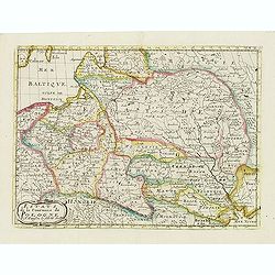
Les Etats de la couronne de Pologne.
Fine map of Poland, engraved by A. de Winter for "Description de tout L'Univers en plusieurs cartes, & en divers traitez de Geographie et d'Histoire. . .".
Place & Date: Amsterdam, F.Halma, 1700
Selling price: $175
Sold in 2012
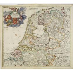
Belgium foederatum emendatius auctum. . .
Rare issue of Justus Danckert's attractive map of present-day The Netherlands.Decorative title cartouche upper left hand corner.
Place & Date: Amsterdam, 1700
Selling price: $350
Sold in 2022
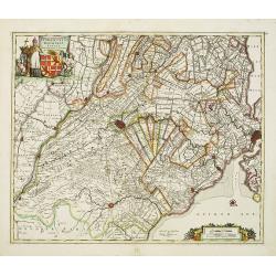
Ultraiectini dominii tabula.
Rare issue of Justus Danckert's attractive map of the province of Utrecht. Shows the land development in Utrecht, Holland, near the Zuyder Zee and it shows Utrecht, Amers...
Place & Date: Amsterdam, 1700
Selling price: $500
Sold in 2012
Ducatus Brabantiae tabula continens sacri imperii. . .
Rare issue of Cornelis Danckert's attractive map of Brabant.Decorative title cartouche lower left hand corner.
Place & Date: Amsterdam, 1700
Selling price: $160
Sold in 2023
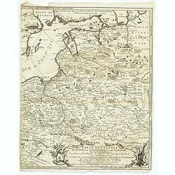
Carte des Etats de Suede, de Dannemarq, et de Pologne sur le Mer Batlique. . .
Map covers Poland and Lithuania. Decorative title cartouche supported by a bear and a wild horse in lower right corner.In itself complete, but the right sheet, only, of a...
Place & Date: Paris, 1700
Selling price: $300
Sold in 2012
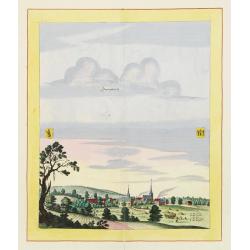
Sonnenburch
Very decorative and rare panoramic of Sonnenburg near Küstrin .The engraver and publisher of prints, Mrs. Anna Beek of the Hague, enlarged the print and mounted it on l...
Place & Date: The Hague 1700
Selling price: $600
Sold in 2012
Liebenwalde.
Very decorative and rare panoramic of Liebenwalde a.d. Olse, Schlesien .The engraver and publisher of prints, Mrs. Anna Beek of the Hague, enlarged the print and mounted...
Place & Date: The Hague, ca. 1700
Selling price: $1500
Sold in 2012
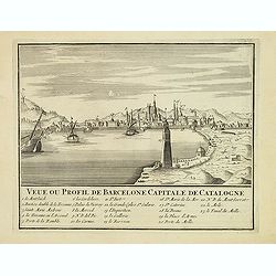
Veue ou Profil de Barcelone Capitale de Catalogne.
Panoramic view of Barcelona, with 23-point key.
Place & Date: Paris, ca. 1700
Selling price: $240
Sold
Exactissima totius danubii fluvii tabula et minores. . .
Showing the western part of the course of the River Danube. Including the towns of Heidelberg, Venice, Vienna, Budapest, etc. Published by Theodor Danckerts.The part has ...
Place & Date: Amsterdam, 1700
Selling price: $120
Sold in 2013
Tyrus.
This hand-colored, copper plate engraving shows a view of the port and city of Tyrus or Tyre, Lebanon. This scarce topographical print by de Bruyn is from: 'Voyage au Lev...
Place & Date: Amsterdam, 1700
Selling price: $25
Sold in 2015
Ducatus Brunsuicensis in Eiusdem Tres Principatus Calenbergicum.
Fine map of the Duchy of Braunsweig. Featuring a large, splendid cartouche with nine coats of arms. The cities are shown as a detailed, miniature fortification. There are...
Place & Date: Amsterdam, ca. 1700
Selling price: $20
Sold in 2017
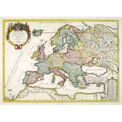
L\'Europe divisée suivant l\'estendue de ses principaux Estats...
Fine map of Europe, engraved by Cordier. With date "1695" in manuscript.
Place & Date: Paris, c. 1700
Selling price: $226
Sold in 2013
Paskaart van de Zee-kusten van Italie, Dalmatie, Sicilia, Grecia, Morea Malte en Candie. . .
A scarce, extensive nautical chart of the Mediterranean Sea, printed from two plates. We were not able to locate other specimens of this map. It depicts the coastlines of...
Place & Date: Amsterdam, circa 1700
Selling price: $7000
Sold in 2013
A New Map of Ancient Gaul or Gallia Transalpina.
A striking map of Ancient France during the time of Augustus Caesar. Includes a wonderful large title cartouche that includes fruit, ribbons and the Gloucester coat of ar...
Place & Date: Oxford, 1700
Selling price: $89
Sold in 2017
The East & West Prospect of Bushey Hall.
A very detailed plan of Bushey Hall with even the people quite detailed. It was published by Sir Henry Chauncy in "HISTORICAL ANTIQUITIES OF HERTFORDSHIRE" in 1...
Place & Date: London, 1700
Selling price: $17
Sold in 2019
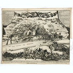
Plan exact des fortifications du Château de Choczim sur le Niester : avec le forts et retranchements de l'Armée des Turcs, défaite en 1673 par Jean Sobieski. . .
Depicting the victory of Jan Sobieski over the Turks at Khotyn in Ukraine in 1673. The victory allowed the Poles to revoke the unfavorable Peace of Buczacz and set the st...
Place & Date: Leiden, P. van der AA, ca. 1700
Selling price: $950
Sold in 2015
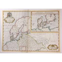
A New Map of Ancient Scandinavia together with as much more of y Northern Part of Ancient Europe as Anvers to Present Denmark & Moscovia
A map of Scandinavia, with an inset map of “Present Denmark”, from Edward Wells' "A New Sett Of Mapps Of Ancient And Present Geography ...". The engraver of...
Place & Date: Oxford, 1700
Selling price: $135
Sold in 2018
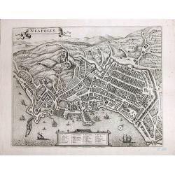
Neapolis
A magnificent, large view of Naples. Rare. Son of the cartographer and publisher Frederick de Wit (1610-1698), he bought plates of Jansson’s "Town Plans", iss...
Place & Date: Amsterdam, ca 1700
Selling price: $590
Sold in 2017
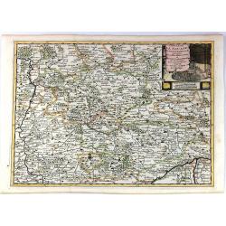
Cercle de la Souabe Septentrionale.
A detailed map by Pierre van der Aa of the German province of Soube, following the new observations of the “Academie Royale des Sciences”. It has a beautiful cartouch...
Place & Date: Amsterdam, 1700
Selling price: $15
Sold in 2019
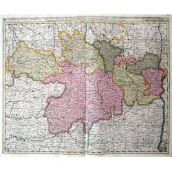
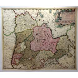
Praefectura Lugunensis Generalis...
A very detailed map of a part of South-Central France, centred on the former Auvergne region. Includes the cities of Périgueux, Limoges, Clermont-Ferrand, Montelimar, M�...
Place & Date: Amsterdam, ca 1700
Selling price: $30
Sold in 2016
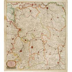
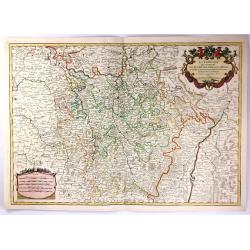
La Lorraine, qui Comprend les Duches de Lorraine et de Bar.
A handsome map of the Lorraine region of France. It includes the cities of Metz, Verdun and Nancy. The topography is detailed with trees, mountains and cities dotting th...
Place & Date: Paris, 1700
Selling price: $41
Sold in 2016
[Forteza di Catara]
Uncommon print of the town of Kotor (citta di Cataro) in Montenegro.
Place & Date: Italy, ca. 1700
Selling price: $100
Sold in 2016
Tartaria in Europe.
This map appeared in Modern's rare 'Atlas Terestris', first published in 1687, depicting the regions surrounding the Black Sea.It features a pleasant scrolled title carto...
Place & Date: London, 1700
Selling price: $110
Sold in 2016
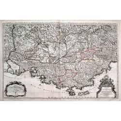
Le Comté et Gouvernement de Provence, divisée en ses vigueries...
Large scale map of Provence with immense detail after Sanson. Extends from Montélimar, Arles, and the Carmargue in the East, until Nice and Stroppo near Cuneo in the Wes...
Place & Date: Amsterdam, ca. 1700
Selling price: $71
Sold in 2016
Veteris et Nova Pannoniae et Illyrici Descriptio.
A map of the north Balkans and northern Adriatic in ancient times. The map is based on the earlier Ortelius map of the same name. From Italy to Greece and inland to Morav...
Place & Date: Amsterdam, ca. 1700
Selling price: $35
Sold in 2019
Magni ducatus Lithuaniae Caeterarumq Regionum illi adiacentium exacta descrip. . .
Highly detailed map of Lithuania and Belarus between Riga, Smolensk, Kiev, Cracow and Konigsberg, including two inset maps of the Dnieper River from Cherkasy to the Black...
Place & Date: Amsterdam, 1700
Selling price: $700
Sold in 2016
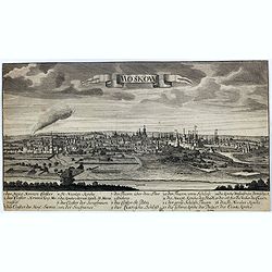
Moskow.
A rare view of Moscow.
Place & Date: Germany, ca. 1700
Selling price: $400
Sold in 2017
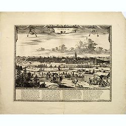
Sivillia.
A lovely large, decorative town view on the Andalusian capital city of Seville, by F. de Witt. With imposing and important buildings identified, the river Guadalquivir is...
Place & Date: Amsterdam, ca 1700
Selling price: $325
Sold in 2017
Archipelagi Graeciae Sive Maris Aegei Cum Praecipuis Suis Insulis...
A very detailed map of Greece and its islands. Includes also a portion of Turkey and South East Europe. With a table giving the ancient and modern names of all the island...
Place & Date: Munich, ca.1700
Selling price: $150
Sold in 2017
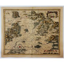
Wetteravia die Wetterau.
A detailed map of the Wetterau region of Germany to the northeast of Frankfurt/Main, centred on Friedberg, reaching to Hofheim, Weilburg, Giessen, the Vogelsberg mountain...
Place & Date: Amsterdam, ca. 1700
Selling price: $50
Sold in 2019
Plan du Fort de Rebus en Flandre.
A very fine map of the fortification of Rebus, in Flanders in northern Belgium. It features a drapery title cartouche and separate Information key.Nicolas de Fer (1646–...
Place & Date: Paris, ca. 1700
Selling price: $17
Sold in 2017
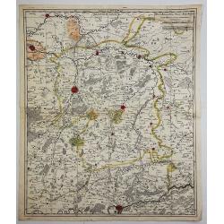
Quartier de Louain???
Unique map of Brabant, Belgium. Louain or Louen or Leuven is the capital of the province of Flemish Brabant in Belgium. It is located about 25 kilometres east of Brussel...
Place & Date: Brabant, ca. 1700
Selling price: $90
Sold in 2018
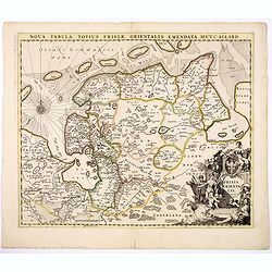
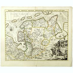
Nova Tabula Totius Frisiae Orientalis.
The map is a cooper engraved map of East Friesland by Carel Allard.
Place & Date: Amsterdam, ca. 1700
Selling price: $50
Sold in 2017
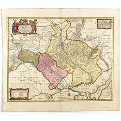
Typus Generalis Ukrainae sive Palatinatuum Podoliae, Kioviensis et Braczlaviensis terras nova delineatione exhibens
Key map originally engraved by Johannes Janssonius in about 1656 and based on Guillaume La Vasseur de Beauplan's map of the region published in "Description d'Ukrain...
Place & Date: Amsterdam, 1690 - 1700
Selling price: $1500
Sold in 2020
L'Europa dedicata All'Illustris ed Eccel. Mo Sig.re D.Giovanni Milano... [Part of a wall map]
Upper left sheet of a 4 sheet wall map of Europe. Published by Paolo Petrini. Petrini's maps are considered great rarities and are highly collectable.The map is centered ...
Place & Date: Naples, 1700
Selling price: $1250
Sold in 2018
Delphinatus Praefectura Quae Gallis audit Gouvernement de Daufine.
A very detailed, antique map of the Dauphiné in the southeast of France by G. Valk. On the left the Rhône from Lyon, Vienne, Tournon-sur-Rhône, Valence to Montélimar....
Place & Date: Amsterdam, ca. 1700
Selling price: $21
Sold in 2018
A Map of Groenland.
A scarce map of the southern coast of Greenland and the north Atlantic Ocean. The map is derived from Isaac la Peyrere's map of 1647. It locates Spitzberg, Iceland, the f...
Place & Date: London, ca 1700
Selling price: $90
Sold in 2018
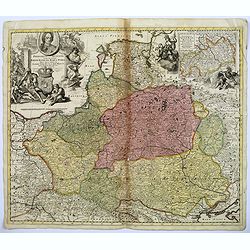
Frederico Augusto .. Polon. Lithuan. Borus. Pomer. Regi..
A decorative map and rare map of the Kingdom of Poland, which in the early eighteenth century included much of Ukraine, White Russia, and the Baltic States. There is an i...
Place & Date: Amsterdam, 1700
Selling price: $1350
Sold in 2018
Comté et Gouvernement general de Champagne ou sont la Vraye Champagne, la Brie, le Remois, Retelois, Senonois, la Pertois, Bassigny. . .
A large and detailed map of the Champagne region, a part of Luxembourg in the north, and Auxerre in the south. Filled with place names and topographical information. With...
Place & Date: Amsterdam, ca 1700
Selling price: $50
Sold in 2018
Nova Tabula Totius Frisiae Orientalis.
The map is a copper engraved map of East Friesland in Germany by Carel Allard. It shows the North Sea coastal line of Friesland with Emden and the islands Borkum, Nordern...
Place & Date: Amsterdam, ca. 1700
Selling price: $160
Sold in 2018
[Map of Scandinavia] La Scandinavie, et les Environs.
An attractive large-format map of Scandinavia. Embellished with two cartouches by Jaillot, H-J.
Place & Date: Paris, ca 1700
Selling price: $350
Sold in 2019
La Moscovie Meridionale...
Detailed map centered on area north of Moscow, including part of Finland and Lapland. Charming title cartouche in lower right corner. This well executed engraving was pu...
Place & Date: Leiden, 1700
Selling price: $42
Sold in 2018
Brussel.
A miniature city view of Brussels, Belgium. It has a key to the main buildings along the bottom of the engraving. This print is not available now nor has been in the past...
Place & Date: UNKNOWN, ca 1700
Selling price: $17
Sold in 2019
Les Isles Britanniques. . .
J.B. Nolin's map of the British Isles, based on the work of Coronelli. Map features an inset of the Orkney, Shetland and Faroe Islands. A splendid title cartouche adorns ...
Place & Date: Paris, ca 1700
Selling price: $280
Sold in 2020
Flandriae Comitatus Pars Batava.
Fine detailed map of Flanders featuring the cities of Middleburg, Hulst, Dendermonde and Gent. It has very precise original coloring. By Visscher in Amsterdam.Nicolaes ...
Place & Date: Amsterdam, c1700
Selling price: $125
Sold in 2020
Nova Totius Germaniae Descriptio.
A highly detailed map of the Holy Roman Empire. It includes the modern day countries of Germany, Poland, Switzerland, Austria, The Netherlands, Belgium, the Czech Republi...
Place & Date: Germany, ca 1700
Selling price: $32
Sold in 2020
Lion, Ville Tres Considerable du Royaume.
A bird's-eye plan of Lion (Lyon) and vicinity that illustrates the strategic position of its fortifications on the Saône and the Rhône rivers. It provides an excellent ...
Place & Date: Paris, 1700
Selling price: $195
Sold in 2023
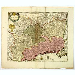
Gouvernement General de Languedoc. Divise en ses Vint Deux Diocesez.
A lovely late seventeenth century map of the central south French region of Languedoc, part of which borders the Mediterranean Sea by Dutch publisher and cartographer, Fr...
Place & Date: Amsterdam, ca 1700
Selling price: $60
Sold in 2019
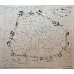
Hanc VIENNAE Quam vides Geometricam faciem Archimedem Siracusanum, Augustinus Hirsfogel a suo depictam radio imitatus est Anno. 1552.
Rare copper engraving of the circular plan of Vienna with its bastions, walls and wall towers, and gates. It shows the fortress Vienna after thoroughly modernizing its de...
Place & Date: Vienna, around 1700
Selling price: $140
Sold in 2019
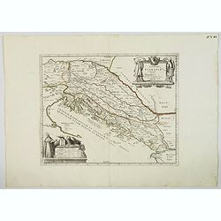
Veteris Pannonia utriusque nec non Illyrici descriptio Geographica . . .
A delightful map of the ancient Dalmatian coastline, that includes parts of modern day Austria, Hungary and Croatia, engraved by Joseph Thoal, and printed at the Seminary...
Place & Date: Padua, ca 1700
Selling price: $100
Sold in 2023
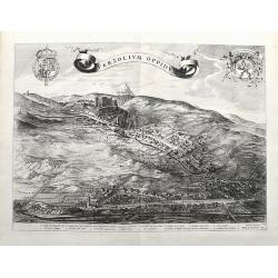
Verzolium Oppidum.
A large birds-eye view of the town of Verzuolo. The town lies between Cuneo and Torino. Superbly engraved with numerous houses, a monastery, and the general landscape. A ...
Place & Date: Amsterdam, ca 1700
Selling price: $290
Sold in 2021
Plan du Chasteau de Dinant.
A plan of the castle of Dinant in Belgium, showing the fortifications. It features a ribbon decorative cartouche, and a detailed table of key places.
Place & Date: Paris, ca 1700
Selling price: $11
Sold in 2020



![[No title] La mer noire, autrefois Pont-Euxin. . .](/uploads/cache/28941-250x250.jpg)



![[No tittle] The Sea Coasts south of England and Brittany in France.](/uploads/cache/29447-250x250.jpg)










![[Forteza di Catara]](/uploads/cache/36186-250x250.jpg)





![L'Europa dedicata All'Illustris ed Eccel. Mo Sig.re D.Giovanni Milano... [Part of a wall map]](/uploads/cache/41454-250x250.jpg)

![[Map of Scandinavia] La Scandinavie, et les Environs.](/uploads/cache/82018-250x250.jpg)
