Browse Listings in Europe
Ristretto Della Dalmazia Divisa Ne Suoi Contadi Gia Presentata Alla Serenissima Republica Di Venezia . . .
Elaborate two sheet map of the coast of Dalmatia, extending from Istria and Croatia in the north to Bosnia, Herzegovina, Serbia and Albania in the South. Two ornate carto...
Place & Date: Venice, 1690
Selling price: $1250
Sold in 2012
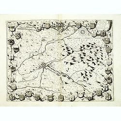
Territorio della citta di Forli . . .
Elaborate map centered on the town of Forli, south of Ravenna. Surrounded with 32 coats of arms. From Coronelli's rare Atlante Veneto, one of the most decorative and orna...
Place & Date: Venice, 1690
Selling price: $950
Sold in 2012
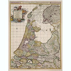
Hollandiae comitatus in esjudem subjacentes dittones..
Prepared after Dou and Broeckhuysen. The map bears a long Dutch and Latin title and is orientated to the north. It was engraved by G.Gouwen.
Place & Date: Amsterdam, 1690
Selling price: $279
Sold in 2015
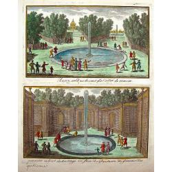
Vue de Chateau des Jardins et du Canal de Chantilly.
This print is from "Veues des Plus Beaux Lieux de France et d'Italie" published in Paris by Nicolas Lanlois in 1690. The prints in this book showcased the chate...
Place & Date: Paris, 1690
Selling price: $51
Sold in 2013
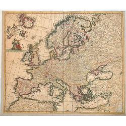
Accuratissima Europae tabula.
Scarce map of Europe by Danckerts. Full original colors.
Place & Date: Amsterdam, 1690
Selling price: $290
Sold in 2013
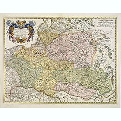
Tabula nova totius Regni Poloniae in quo sunt Ducatus et Provinciae Prussia, Cujavia, Mazovia, Russia, Nigra &c. Ducatus Lithuania, Ukrania...Volhynia et Podolia.
Map of Poland, Lithuania, Latvia, Belarus and Ukraine with decorative cartouche in the upper left corner showing two wind heads, a cheetah's head and two sets of bows and...
Place & Date: Amsterdam, 1690
Selling price: $850
Sold in 2013
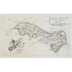
Isola de Re, nel Mare di Guascogna . . .
A beautiful and rare map showing Isle de Ré. The title cartouche is held by and trumpet-blowing angel.The remarkable Vincenzo Coronelli (1650-1718), encyclopaedist, geog...
Place & Date: Venice, 1690
Selling price: $360
Sold
Tabula Russia Vulgo Moscovia.
A detailed map including all western Russia and most of Finland. With very decorative title cartouche.
Place & Date: Amsterdam, 1690
Selling price: $170
Sold in 2014
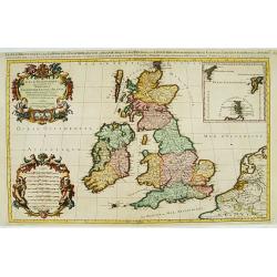
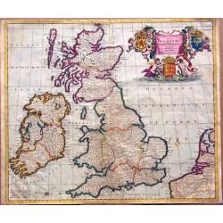
Novissima et Accuratissima Totius Angliae, Scotiae et Hiberniae Tabula.
An extremely decorative, uncommon map of the British Isles, with a superb title cartouche featuring putti holding up the arms of England, Scotland and Ireland, in full co...
Place & Date: Amsterdam, ca 1690
Selling price: $350
Sold in 2014
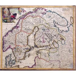
Accuratissima regnorum sueciae, daniae et norvegiae tabula.
Uncommon map of the Scandinavian peninsula with a large, very decorative title cartouche in upper left corner.Includes Sweden, Denmark, Norway and a part of Russia.
Place & Date: Amsterdam, 1690
Selling price: $260
Sold in 2014
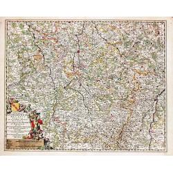
Generalis Lotharingiae Ducatus Tabula
Frederik de Wit (1610-98), Amsterdam-based cartographer and publisher. ' Atlas minor', 1670, ' Zee-Atlas', 1675, ' Atlas Major', 1690.An attractive map of Lorraine. Embel...
Place & Date: Amsterdam, F. de Wit, c.1690
Selling price: $80
Sold in 2020
Nieuwe Paskaert Vande Gehele Westersche Scheep-vaert.
Johannes van Keulen was the founder of the successful van Keulen firm that published charts, pilot guides, and sea atlases for over 2 centuries. In 1680 he published his ...
Place & Date: Amsterdam, c. 1690
Selling price: $800
Sold in 2018
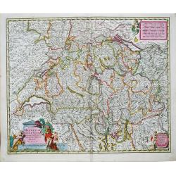
Exactissima Helvetiae Rhetiae, Valesia Tabula.
Nicolaas Visscher (1618-1679), son of Claes Jansz. Visscher Atlas Contractus (1657), Atlas Minor.Nicolaas Visscher's attractive map of Switzerland. Embellished with a fin...
Place & Date: Amsterdam, F. de Wit, c.1690
Selling price: $250
Sold in 2017
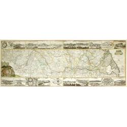
Neueste Beschreibung des ganzen Rheinstroms...
Rare large map illustrating the course of the Rhine river. The map is surrounded by 20 city plans, including Cologne, Bonn, Speyer, Mainz, Heidelberg, Worms, Basel, Stras...
Place & Date: Nuremberg, 1690
Selling price: $560
Sold in 2015
Anno HAFNIA Daniae met: COPPENHAGEN 1659.
During the Northern Wars, the Swedish army under Charles X Gustav of Sweden, after invading the Danish mainland of Jutland, swiftly crossed the frozen straits and occupie...
Place & Date: Amsterdam, ca. 1690
Selling price: $200
Sold in 2017
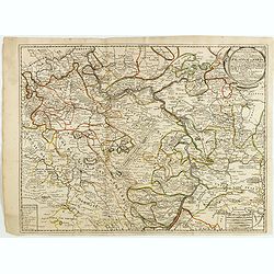
Partie des cercles du Haut et Bas Rhein ou sont partie des archevechez de Mayence et de Treves, et les evechez de Wormes et Spire, le Palatinat du Rhein, et les Palatinats de Birkenfelt et de Lautereck. . .
An attractive map of central part of Germany with river Rhine and centered on Manheim. This large one-sheet map was produced by the Venetian cosmographer Vincenzo Coronel...
Place & Date: Paris, 1690
Selling price: $50
Sold in 2015
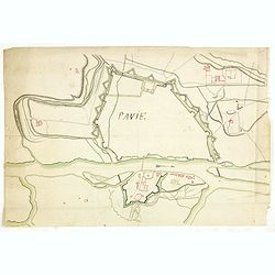
Pavie.
Manuscript drawing of the street layout and fortifications of the town of Pavia, in south-western Lombardy, northern Italy.Ticinum (the modern Pavia) was an ancient city ...
Place & Date: ca. 1690
Selling price: $600
Sold
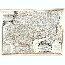
Le gouvernement général de Languedoc divisé en Haut et Bas Languedoc et Sévennes par N. de Fer, géographe de sa majesté catolique. . .
Scarce map by J.-B. Nolin, after Sr. Tillemon.
Place & Date: Paris, ca. 1690
Selling price: $100
Sold in 2015
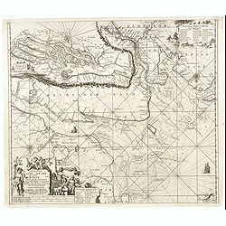
Paskaart vande Jade, Weser en Elve..
The map extends from Helgoland to the estuaries of Jade, Weser and The Elbe. On the bottom left is the title cartouche stating the manufacturer Johannes van Keulen The te...
Place & Date: Amsterdam, 1690
Selling price: $350
Sold in 2016
Nitria (Slovakia)
Fine bird's eye view of the city of Nitra, Slovakia. Etched in about 1690 by Gaspar Bouttats (1640-1695). The Antwerp based publisher, Jacques Peeters, published ca. 1690...
Place & Date: Antwerp, 1690
Selling price: $110
Sold in 2018
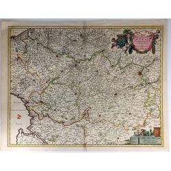
Geographica Artesiae Comitatus Tabula.
A fine large map of the region of Artois by Nicolaes Visscher II, produced in Amsterdam in 1690. Beautiful embellishments such as decorative cartouches, five putti, and ...
Place & Date: Amsterdam, 1690
Selling price: $58
Sold in 2021
Funfkirchen...
A striking bird's eye view of Pecs. Etched by Gaspar Bouttats. The Antwerp based publisher, Jacques Peeters published a series of prints related to the Habsburg-Ottoman w...
Place & Date: Antwerp. c1690
Selling price: $17
Sold in 2019
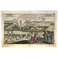
Fortezza d' San Giob Presa dell'Armi Imperiali li 12 Febraro 1686.
Striking, decorative, copper engraved plate showing the siege of St. Giob Fortress in Budepest, Hungary in 1686.
Place & Date: Paris, ca. 1690
Selling price: $20
Sold in 2019
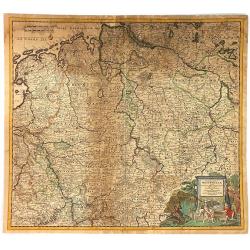
Circulus Westphaliae cum Omnibus Suis Subjacentibus....
The circle of Westphalia and surrounding area of Germany. Very detailed map by Justus Dankerts in the Netherlands. The Danckerts family was very large and had a lot of m...
Place & Date: Amsterdam, 1690
Selling price: $22
Sold in 2016
Archipelagi et Graecia Universae.
Centered on Greece. Very decorative title cartouche in the lower left-hand corner.
Place & Date: Amsterdam, 1690
Selling price: $55
Sold in 2016
Regni Navarrae. . .
Centred on Pamplona. Orientated west to the top.
Place & Date: Amsterdam, 1690
Selling price: $160
Sold in 2018
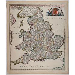
Anglia Regnum In Omnes Suos Ducatus, Comitatus, et Provincias Divisum.
Decorative map of England and Wales showing immense detail of the cities and towns, colored by counties. Very decorative cartouche with mermaids holding up the arms of En...
Place & Date: 1690
Selling price: $350
Sold in 2018
Leopoldus de Eerste door G. G. Roomsch Keijser Gekooren.
Equestrian portrait of the Holy Roman Emperor Leopold I, full-length in profile to left but looking at the viewer, horse seen in frontal view, after Pieter Stevens ( c.16...
Place & Date: Antwerp, c.1690
Selling price: $50
Sold in 2019
Graaf Emmerics Tekkelÿ Opperhoofd . . .
Equestrian portrait of Emmerics Tekkelÿ, full-length in profile to left but looking at the viewer, horse seen in frontal view, after Pieter Stevens ( c.1683-1692)This is...
Place & Date: Antwerp, c.1690
Selling price: $50
Sold in 2019
Julius Franciscus D.G. Saxon . . .
Equestrian portrait of Julius Franciscus, full-length in profile to left but looking at the viewer, horse seen in frontal view, after Pieter Stevens ( c.1683-1692).This i...
Place & Date: Antwerp, c.1690
Selling price: $50
Sold in 2019
Johannes III D.G. Polonorum . . .
Equestrian portrait of Johannes III, full-length in profile to left but looking at the viewer, horse seen in frontal view, after Pieter Stevens ( c.1683-1692).This is one...
Place & Date: Antwerp, c.1690
Selling price: $200
Sold in 2018
Carel de 2 door G. G Koning van Spangien.
Equestrian portrait of Carel de 2nd, full-length in profile to left but looking at the viewer, horse seen in frontal view, after Pieter Stevens ( c.1683-1692).This is one...
Place & Date: Antwerp, c.1690
Selling price: $50
Sold in 2019
Maximilianus Emanuel D. G. S R Imperii Elector Bavaria.
Equestrian portrait of Maximilianus Emanuel, full-length in profile to left but looking at the viewer, horse seen in frontal view, after Pieter Stevens ( c.1683-1692).Thi...
Place & Date: Antwerp, c.1690
Selling price: $50
Sold in 2019
Del Palatinato, et Elettorato Del Reno Parte Orientale... [and] Descritta Dal P. Coronelli Cosmografo della Serema. Repuca.
A large 2-sheet, detailed and decorative map of the Rhine Valley from Coronelli’s Corso Geografico Universale, published in Venice in 1690.The map shows the eastern par...
Place & Date: Venice, 1690
Selling price: $300
Sold in 2018
Ernest Rudiger, Grave van Starrenberg . . .
Equestrian portrait of Ernest Rudiger, full-length in profile to left but looking at the viewer, horse seen in frontal view, after Pieter Stevens ( c.1683-1692) was milit...
Place & Date: Antwerp, c.1690
Selling price: $50
Sold in 2018
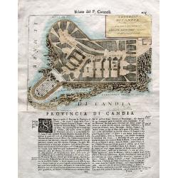
Castello di Candia descritto, e dedicato. . .
An uncommon engraved plan of the castle of Candia (Heraklion, Crete) on a large sheet with Italian text below and on verso. From Coronelli's famous Isolario atlas. Corone...
Place & Date: Venice, ca. 1690
Selling price: $41
Sold in 2018
Marcomania Hoggidi Marchesato de Moravia Detto Volgarmente Marnhem. . .
A lovely map of Moravia centered on Brno and filled with well-engraved mountains, forests, coats of arms and cities. The map is dedicated to Andrea Bragadin within the el...
Place & Date: VENICE, 1690
Selling price: $395
Sold in 2021
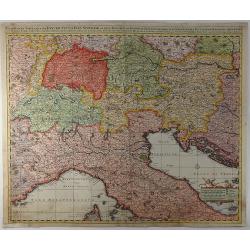
Exactissima Tabula Qua Tam Danubii Fluvii Pars Superior. . .
A highly detailed map of the Upper Danube and the Sea of Liguria (or Genoa), published by Nicolaus Visscher in 1690. The map extends from the headwaters of the Danube in ...
Place & Date: Amsterdam, 1690
Selling price: $210
Sold in 2019
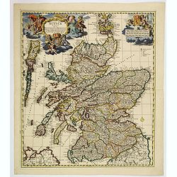
Exactissima regni Scotiae tabula. . .
A superb map of Scotland by Visscher, published in Amsterdam at the end of the seventeenth century. All the Scottish counties are colored in outline. There is a tremendou...
Place & Date: Amsterdam, 1690
Selling price: $350
Sold in 2019
Nieuwe Pas-kaert vande Oost Kust van Engeland en Schotland. . .
A delightful Dutch maritime chart that includes the east coast of England, running from Berwick in Northumberland, southwards to Burlington in Yorkshire. A nice inset map...
Place & Date: Amsterdam, 1690
Selling price: $300
Sold in 2019
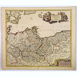
Marchionatus Brandenburgi et Ducatus Pomeraniae Tabula. . .
An attractive map of Brandenburg and Pommeren. Embellished with a title-cartouche with winged putti, fronds and a pair of coats-of-arms, plus a cartouche with three sets ...
Place & Date: Amsterdam, 1690
Selling price: $50
Sold in 2019
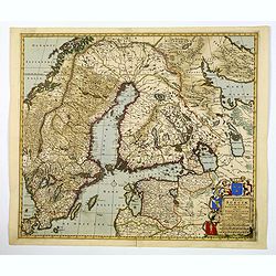
Regni Sueciae Tabula Generalis, divisia in Suediae, Gothiae. . .
An attractive and detailed map of Scandinavia, centered on Finland, including parts of Sweden, Norway and Russia. Nicely colored to accentuate the seas, mountains, lakes ...
Place & Date: Amsterdam, 1690
Selling price: $210
Sold in 2019
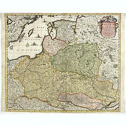
Regni Poloniae et Ducatus Lithuaniae Voliniae, Podoliae..
Standard map of Poland.
Place & Date: Amsterdam, 1690
Selling price: $600
Sold in 2019
Dania Regnum In quo sunt Ducatus Holsatia et Slesvicum Iutia, et Insule, dictae Danicae. . .
An attractive map centered on Denmark and including southern tip of Sweden. Enhanced by a very ornamented title cartouche in the upper right-hand corner. colored mileage ...
Place & Date: Amsterdam ca 1690
Selling price: $80
Sold in 2020
Hampshire.
Christopher Saxton’s sumptuous county map of Hampshire together with the northern part of the Isle of Wight, first issued in 1575, 'Corected & many Additions by P. ...
Place & Date: London, ca 1690
Selling price: $555
Sold in 2021
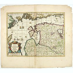
Nova Totius Livoniae accurata Descriptio.
The excellent, and decorative map of Livonia from the Moses Pitt "The English Atlas". Map extent is southern most tip of Sweden, part of the southern coast of F...
Place & Date: Oxford, 1690
Selling price: $200
Sold in 2023
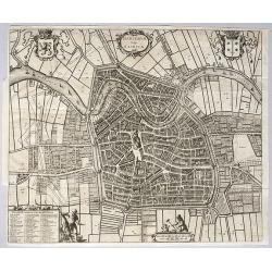
Harlemum, vulgo Haerlem, by Gregorio Leti, 1690.
A detailed and very decorative bird's-eye view of the Dutch city of Haarlem, with the city's and the province's coats of arms, together with two decorative cartouches at ...
Place & Date: Amsterdam, 1690
Selling price: $660
Sold in 2020
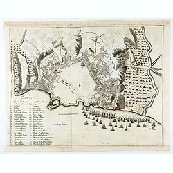
Candia.
A bird's eye view of the town of Heraklion, in Crete, engraved by Bouttats, G. Showing the siege of the Turks in 1667.
Place & Date: Antwerp, ca. 1690
Selling price: $60
Sold in 2020
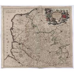
Novissima Artesiae Comitatus Tabula.
A fine original color example of Justus Danckerts map of Artois in France, published in Amsterdam in 1690. It features a decorative cartouche with eight putti.Justus Danc...
Place & Date: Amsterdam, 1690
Selling price: $36
Sold in 2022
LA TRANSILVANIA. . .
A beautiful map of the Transilvanian regions in Romania, depicting several kingdom's crests around the map.
Place & Date: Venetia, 1690
Selling price: $275
Sold in 2020
Ducatus Lutzenburgici Tabula Nuperrime in Lucem Edita per F. de Wit.
Frederick de Wit's handsome map of Luxembourg in fine original coloring. Frederik de Wit (1610-98), Amsterdam-based cartographer and publisher. 'Atlas minor', 1670,' Zee-...
Place & Date: Amsterdam, ca 1690
Selling price: $150
Sold in 2020
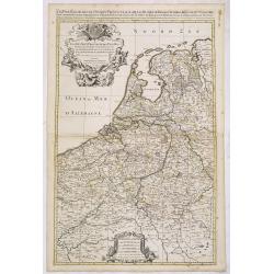
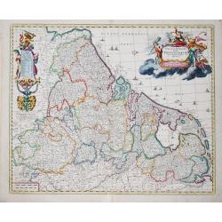
Germaniae Inferioris XVII PROVINCIARUM Accuratissima Tabula.
The third state of Nicolaas Visscher I's attractive map of the XVII Provinces of the Netherlands, published by his son Nicolaas II. Embellished with a large and decorativ...
Place & Date: Amsterdam, ca 1690
Selling price: $200
Sold in 2023
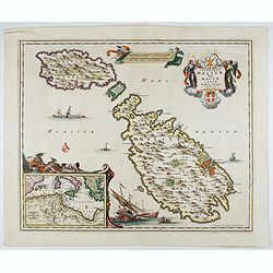
Insularum Melitae vulgo Maltae et Gozae. . .
A very attractive example of this detailed map of Malta and Gozo with inset map of the Western Mediterranean. Sailing ships and a large title cartouche with the Coat of A...
Place & Date: Amsterdam, 1690
Selling price: $500
Sold in 2022
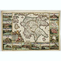
Peloponnesus Hodie Moreae Regnum Distincte Divisum in Omnes suas Provincias . . . Insulae Cefalonia, Zante, Cerigo et St. Maura Acore F. De Wit.
A rare, spectacular map in fine period color of the Peloponnese surrounded by 14 large city, port and fortress views and plans of important Greek cities including Athens,...
Place & Date: Amsterdam, 1690
Selling price: $1350
Sold in 2022
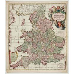
A New Mapp of the Kingdome of England.
Very decorative map of England and Wales by Nicolaes Visscher II, comes from the atlas “Atlas Minor, sive geographia compendiosa qua orbis terrarum. . . ”.
Place & Date: Amsterdam, c. 1690
Selling price: $400
Sold in 2022
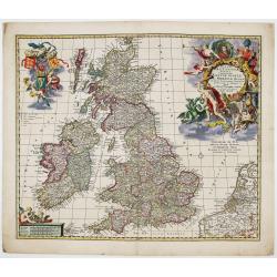
Magnae Britanniae Tabula; Comprehendens Angliae, Scotiae ac Hiberniae Regna
Very decorative map of Great Britain by Nicolaes Visscher II, dedicated to William III, King of England, Scotland and Ireland.Map comes from the atlas “Atlas Minor, siv...
Place & Date: Amsterdam, c. 1690
Selling price: $475
Sold in 2023
[ Lot of 9 maps and plans] Novissima nec non Perfectissima Scandinaviae Tabula
Frederick de Wit's large and detailled map of Scandinavia. Embellished with a large, decorative title-cartouche.From Frederick de Wit's' Atlas Maior'. Frederik de Wit (16...
Place & Date: Amsterdam, 1690
Selling price: $130
Sold in 2022
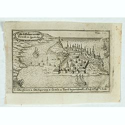
Citta di Malvasia in Mora Reas di 12 Agosto 1690.
Bird's-eye view of the island of Malvasia, nowadays called Monemvasia, with part of the eastern shore of the Peloponnese, showing the island fortress of Monemvasia in Gre...
Place & Date: Italy, after 1690
Selling price: $110
Sold in 2023
Peloponnesus Hodie Moreae regnum..
A rare, spectacular map of the Peloponnese surrounded by 14 large city, port and fortress views and plans of important Greek cities including Athens, Sparta, Lepanto, Mod...
Place & Date: Amsterdam, 1690
Selling price: $1400
Sold in 2023
Coppenhague Ville Capitale du Royaume de Danemarck est située en Zeelande qui est une des Isles de la Mer BALTIQUE
Very rare, large decorative view of Copenhagen. The view shows an elaborate waterfront image, with wharves, windmills, shipbuilding, etc. 7 major sites are identified in ...
Place & Date: Paris?, ca 1690
Selling price: $500
Sold in 2023
Ristretto del Mediterraneo...
Very large, extremely decorative map of the Western part of the Mediterranean Sea. It is embellished with coats of arms and decorative cartouches, Vincenzo Maria Coronell...
Place & Date: Venice, 1690
Selling price: $1600
Sold in 2023
Porto de Mesina I. Malta.
An attractive map of the port of Porto de Mesina and the island of Malta. Most decorative.The remarkable Vincenzo Coronelli (1650-1718), encyclopaedist, geographer, inven...
Place & Date: Venice 1691
Selling price: $410
Sold
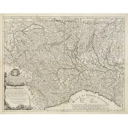
Alta Lombardia e stati ad essa circonuicini . . .
Uncommon late 17th century map of part of the Lombardy region, based on the reports of Giacomo Cantelli da Vignola and published in Roma in Giacomo de Rossi's world atlas...
Place & Date: Rome, ca.1691
Selling price: $425
Sold in 2009
[ Adriatic Sea and the Gulf of Venice. ]
A late 17th century coastline map of the Adriatic Sea and the Gulf of Venice, based on the reports of Giacomo Cantelli da Vignola and published in Rome in Giacomo de Ross...
Place & Date: Rome, ca. 1691
Selling price: $375
Sold in 2009
[Two maps] Il Piemonte . . . Ducato di Monferrato . . .
A set of two late 17th century maps of the Piedmont region and the hills of Montferrat and Langhe in the north-western corner of Italy, between the Alps and the Riviera, ...
Place & Date: Rome, 1691
Selling price: $500
Sold in 2009
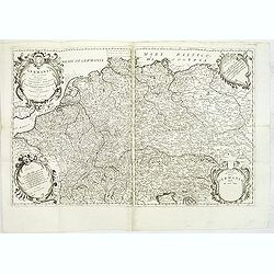
Germania Parte Occidentale, Dedicata Al Reuerendissimo Padre D. Serafino Pasolino Nella Congreg Lateranense ...
Detailed map of Western Europe by Vincenzo Coronelli, showing the Holy Roman Empire. This beautiful map covers from the Baltic in the north to Venice in the south. In the...
Place & Date: Venice, 1691
Selling price: $250
Sold in 2014
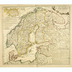
Les Royaumes De Suede, de Danemarck et De Norwege Divisez en plusieurs Provincez, et Gouvernemens, etc. selon les Memoires de Bxxx de Scheffer, et de plusieurs autres Corrigee et augmentez apr le Sr. de Tillemon . . .
Rare map of Scandinavia and the Baltic with inset map of Iceland. Published by Jean Baptiste Nolin, the Geographer to the King of France. With large text panels giving ge...
Place & Date: Paris, 1691
Selling price: $200
Sold in 2014
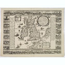
Nouvelle carte d'Angleterre avec les royaumes d'Ecosse et d'Irlande . . .
Decorative and very rare "carte ?? figures"- map of the British Isles by Fran?ois Jollain (ca. 1641 – 18 April 1704). In the center of the map the British Isl...
Place & Date: Paris, 1691
Selling price: $7100
Sold in 2013
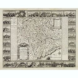
Nouvelle carte de Savoye et Piemont . . .
Detailed and decorative "carte à figures"- map of Lombardy / Savoye, including a part of Switzerland and Italy and published by François Jollain (ca. 1641 –...
Place & Date: Paris, 1691
Selling price: $2400
Sold
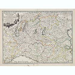
Theatre de la guerre en Italie ou se trouvent les Duchez de Milan. . .
Rare map of the northern part of Italy, including the towns of Rurin, Milan, Verona, Trente, Modena, Ravenna, Geneva, etc. Published by François Jollain (ca. 1641 – 18...
Place & Date: Paris, 1691
Selling price: $300
Sold in 2023
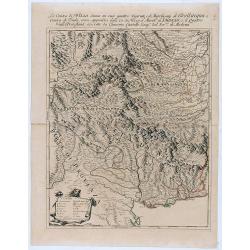
La Contea di Nizza divisa ne suoi quattro vicariati . . .
Giacomo Rossi's fine late 17th century map of Nizza province. . The principal settlements, mountain ranges and rivers are shown in detail.Read more about Giovanni Giacomo...
Place & Date: Rome, 1691
Selling price: $200
Sold in 2021
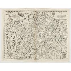
Li Grisoni già detti Rheti . . .
Fine example of this scarce map of northern Italy and Southern Switzerland, published by Coronelli in his Corso Geogrpaphico.The map extends from Lago di Como and the nor...
Place & Date: Venice, 1691
Selling price: $200
Sold in 2020
Isola di Malta, olim Melita..
The island of Malta surrounded by 62 engraved armorials, including the arms of the Grand Masters of the Order of St John. Most decorative.The remarkable Vincenzo Coronell...
Place & Date: Venice, 1691
Selling price: $3500
Sold in 2022
Le royaume de Danemark.
Fine map of Denmark with a decorative title and scale cartouche.Alexis-Hubert Jaillot (1632-1712), was a French cartographer. He joined the Sanson heirs and redrew Nicola...
Place & Date: Amsterdam, 1692
Selling price: $300
Sold in 2013
Les Provinces des Pays-Bas Catholiques . . . Le Roy de France, le Roy d'Espagne, et les Etats Généraux des Provinces-Unies . . .
Fine map of the Catholic Netherland Provinces with a decorative armorial cartouche and small scale of miles.Alexis-Hubert Jaillot (1632-1712), was a French cartographer. ...
Place & Date: Amsterdam, 1692
Selling price: $300
Sold in 2013
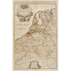
Les Dix-Sept Provinces des Pays-Bas..
Map of the present-day Benelux by Hubert Jaillot.
Place & Date: Paris 1692
Selling price: $490
Sold
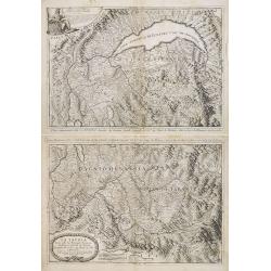
La Savoia divisa nelle sue Principali Provincie da Giacomo Cantelli da Vignola . . .
A set of two late 17th century maps of the Savoye region, based on the reports of Giacomo Cantelli da Vignola and published in Roma in Giacomo de Rossi's world atlas Merc...
Place & Date: Rome, 1692
Selling price: $400
Sold in 2013
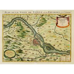
Plan de la ville de Vienne et ses environs par le Sr. Sanson.
Large scale map of Vienna and its environs. Prepared by Sanson and published by Jaillot.
Place & Date: Paris 1692
Selling price: $200
Sold
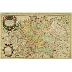
L'Empire d'Allemagne ..
Large scale map of Germany, The Netherlands, Belgium, Luxemburg, Poland and Austria. Prepared by Sanson and published by Jaillot.Very large and decorative piece.
Place & Date: Paris 1692
Selling price: $190
Sold
Les Isles Britanniques qui contiennents les- Royaumes, d' Angleterre, Escosse, et Irlande.
Large scale map of England, Scotland and Ireland. To the left inset map of Shetland Islands, Orcades and Orkney.Prepared by Sanson and published by Jaillot.Very large and...
Place & Date: Paris 1692
Selling price: $250
Sold









![Del Palatinato, et Elettorato Del Reno Parte Orientale... [and] Descritta Dal P. Coronelli Cosmografo della Serema. Repuca.](/uploads/cache/81112-250x250.jpg)








![[ Lot of 9 maps and plans] Novissima nec non Perfectissima Scandinaviae Tabula](/uploads/cache/18177-(3)-250x250.jpg)


![[ Adriatic Sea and the Gulf of Venice. ]](/uploads/cache/27404-250x250.jpg)
![[Two maps] Il Piemonte . . . Ducato di Monferrato . . .](/uploads/cache/27406-250x250.jpg)
