Browse Listings in Europe
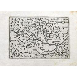
Limania.
A detailed miniature map of an area in the Département Puy-de-Dôme; Region Auvergne-Rhône-Alpes. Centered on the Allier river near Clermont-Ferrand and Pont-du-Châtea...
Place & Date: Amsterdam, 1649
Selling price: $40
Sold in 2020
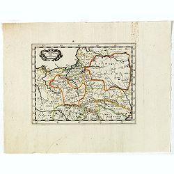
Le Royaume de Pologne..
Detailed map of Poland, including Lithuania, Moravia, Moldavia, etc. included in : Parallela Geographiae Veteris et Novae. / Parallela Geographiae Veteris et Novae by Phi...
Place & Date: Paris, Sebastiani and Gabrielis Cramoisy, 1649
Selling price: $350
Sold in 2021
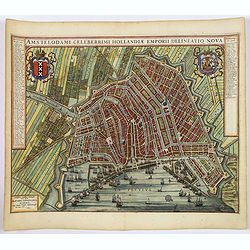
(Amsterdam)Amstelodami Celeberrimi Hollandiae Emporii delineatio nova.
A very attractive bird's-eye view of this most important European city, engraved at the height of the 'Golden Age' of Dutch cartography, when it sat at the hub of one of ...
Place & Date: Amsterdam, 1649
Selling price: $1750
Sold in 2019
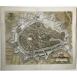
Middelburgum.
A fine city map in the style of a bird's eye of the city of Middelburg in Zeeland, Netherlands. Published in 1649 by Joan Blaeu in his 'Toonneel der Steden der Veenigde N...
Place & Date: Amsterdam, 1649
Selling price: $165
Sold in 2021
La siege de Hulst Per Son Altesse la Prince dOrangie 1645. / De belegeringe van de stadt Hulst.
This map of Hulst shows the siege and capture of the city in 1645 by a Dutch army led by Frederik Hendrik. The emphasis is on the siege machines surrounding the city. The...
Place & Date: Amsterdam, 1649
Selling price: $100
Sold in 2021
Eiecitg Adam et collocauitante paradisium uouptatis cherubim . . . (Plate 7)
Very nice etching by Nicolas Chapron, after Raphaël's (Raffaello Sanzio) frescoes in the Vatican Loggia. Scene illustrating an angel casting Adam and Eve out of the para...
Place & Date: Paris, Petrus Mariette, 1649
Selling price: $40
Sold in 2021
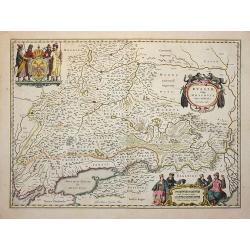
Russiae, vulgo Moscovia, pars Australis.
Centered on Moscow. Prepared by Isaac Massa, a Dutch mapmaker who travelled to Russia, returning to Holland in 1609, bringing with him a large amount of original cartogra...
Place & Date: Amsterdam 1650
Selling price: $400
Sold
Iprensis Episcopatus.
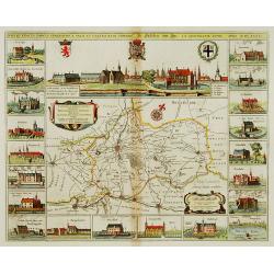
Map of the Dioceses of Ypres (1559-1801). Centered on the towns of Ypres and Rouselare.Rare map only included in Joan Blaeu's Atlas Major. Originally engraved for Sanderu...
Place & Date: Amsterdam, 1650
Selling price: $300
Sold in 2020
Edynburgum
A beautifully rendered 17th century view of Edinburgh. Provides excellent detail, with many of the town's key sites visible. The Scottish coat of arms is shown in the upp...
Place & Date: Frankfurt, 1650
Selling price: $475
Sold
Reims en Champagne.
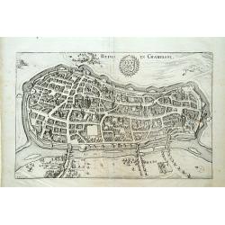
Detailed bird's-eye view of the town of Rheims. From Merian's Theatrum Europaeum. To the bottom a lettered key to the principal places in town.
Place & Date: Frankfurt 1650
Selling price: $20
Sold
Belägerung des Vesten.. Gennep.
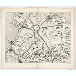
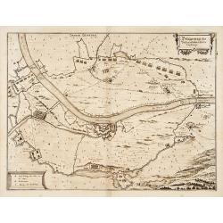
Detailed map of the siege of Gennep.
Place & Date: Frankfurt 1650
Selling price: $90
Sold
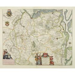
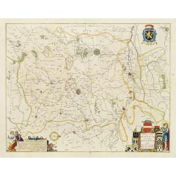
Prima pars Brabantiae cuius caput Lovanium.
Decorative map centred on Tienen and Leuven. West to the top.
Place & Date: Amsterdam 1650
Selling price: $100
Sold in 2018
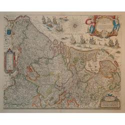
Novus XVII Inferioris Germanie Provinciarum Typus
This is undoubtedly one of the most magnificent maps of the seventeen provinces of the Netherlands. It was first produced as a separately issued wall map in 1608 with fig...
Place & Date: Amsterdam, 1650
Selling price: $1500
Sold in 2010
Pascaart vande Custen van Andaluzia, Portugal..
Decorative chart of the coasts of Andalusia, Portugal, Galicia, Biscayne from the first sea-atlas (in the real sense of the word) printed in the Netherlands.
Place & Date: Amsterdam 1650
Selling price: $1040
Sold
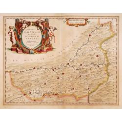
Dioecesis Sarlatensis, vernacule
Detailed map of Perigord, depicting Bergerac, Saint Cyprien, Montignac, Sarlat, Villefranche, etc. Embellished with an enormous and beautiful title cartouche in the left ...
Place & Date: Amsterdam 1650
Selling price: $150
Sold
Dioecesis Sarlatensis, vernacule... Sarlat.
Impressive title cartouche with four putti. Detailed map of the region south of the Dordogne River from Bergerac till Saint-Cirq. Including Le Buisson.
Place & Date: Amsterdam 1650
Selling price: $180
Sold in 2009
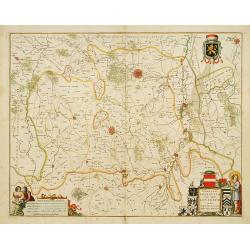
Prima pars Brabantiae cuius caput Lovanium.
Decorative map centered on Tienen and Leuven. West to the top.
Place & Date: Amsterdam, 1650
Selling price: $100
Sold in 2018
Imperium Romanum. Auth. Phil. Briet e Societ Iesu.
Philip Briet S.J. (1601-1668). French cartographer. Parallela Geogr. Veterus et Novae 1648, Atlas 1653.A map depicting the Roman Empire with an inset showing Rome and its...
Place & Date: Paris, c. 1650
Selling price: $200
Sold
Prima pars Brabantiae cuius caput Lovanium.
Decorative map centered on Tienen and Leuven. West to the top. Prepared by Michael Floris van Langeren (1612-1675). He was an mathematician and astronomer who served for ...
Place & Date: Amsterdam 1650
Selling price: $525
Sold
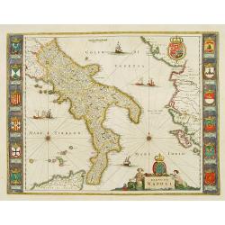
Regno di Napoli.
To the left and right 12 coats of arms of different regions. From a German text edition.
Place & Date: Amsterdam 1650
Selling price: $732
Sold
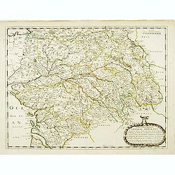
Gouvernement General d'Orleans ..
Fine map of south eastern part of France, including Isle de Ré, Paris, S.Malo, etc. This edition carries the date 1650 and the cartouche presents the address of Pierre M...
Place & Date: Paris, 1650
Selling price: $100
Sold
Imperium Caroli Magni
Finely engraved map of the Empire of Karol the Great.
Place & Date: Amsterdam 1650
Selling price: $320
Sold
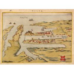
Malta.
Attractivetown-plan of Valetta on Malta, based on the engraving in Braun and Hogenberg' townbook from 1572-1624.A schematic drawing shows Valetta with a strongly fortifie...
Place & Date: The Netherlands ? 1650
Selling price: $320
Sold
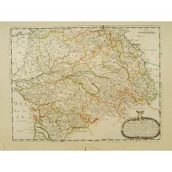
Gouvernement General d'Orleans ..
Fine map of south eastern part of France, including Isle d'Ré, Paris, S.Malo, etc.This edition carries the date 1650 and the cartouche presents the address of Pierre Mar...
Place & Date: Paris 1650
Selling price: $80
Sold
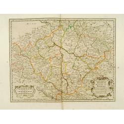
Royaume de Boheme.
Covering Czech Republic and cantered on Prague.This edition carries the date 1650. Nicolas Sanson was to bring about the rise of French cartography, although the fierce c...
Place & Date: Paris 1650
Selling price: $160
Sold
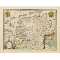
Typus Frisiae Orientalis.
Decorative map of east Frisia in Germany with the Watten islands. With inset map of the area south of Emden. Prepared by Ubbo Emmius (1547-1625).
Place & Date: Amsterdam, 1650
Selling price: $150
Sold in 2018
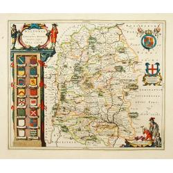
Wiltopnia sive comitatus Wiltoniensis, Anglis Wilshire.
A fine copy of this famous and decorative map of Wiltshire. 16 shields, two left blank underneath the decorated cartouche at top left. Two more shields at right, secondar...
Place & Date: Amsterdam 1650
Selling price: $250
Sold
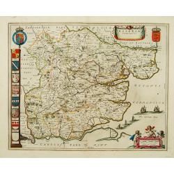
Essexia comitatus.
A fine copy of this famous and decorative map of Essex. Title banner, scale cartouche with three putti. Royal Arms, Arms of England and A panel displaying seven coats of ...
Place & Date: Amsterdam 1650
Selling price: $330
Sold
Imperium Romanum. Auth. Phil. Briet e Societ Iesu.
Philip Briet S.J. (1601-1668). French cartographer. Parallela Geogr. Veterus et Novae 1648, Atlas 1653.A map depicting the Roman Empire with an inset showing Rome and its...
Place & Date: Paris, c. 1650
Selling price: $275
Sold
Novissima Russiae Tabula.
Johannes Janssonius, the great rival of Willem Blaeu, was the son-in-law of Jodocus Hondius. Together with Jodocus' son Hendrick, he continued to publish the successive e...
Place & Date: Amsterdam, c. 1650
Selling price: $130
Sold
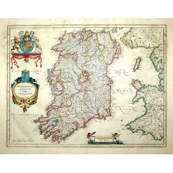
Hibernia regnum vulgo Ireland
A good and dark impression of a cornerstone map of Ireland, with three decorative cartouches in full original color.
Place & Date: Amsterdam, 1650
Selling price: $600
Sold
Brightstowe.
An very attractive town plan of Bristol with in the upper right corner coat of arms. Lower left a key to the principal buildings of the city.Brightstowe (meaning pleasant...
Place & Date: Amsterdam 1650
Selling price: $400
Sold
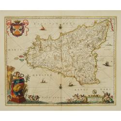
Sicilia Regnum.
Sought-after map of Sicily by one of Holland's most famous publishers. Very nice title cartouche, scale and coat-of-arms.
Place & Date: Amsterdam 1650
Selling price: $1000
Sold
Dania Regnum.
Standard map of Denmark with fine title cartouche and coat of arms.
Place & Date: Amsterdam 1650
Selling price: $255
Sold
Germaniae Veteris typus.
Map made on the basis of the writings by the ancient authors Tacitus, Caesar, Dionysus, Ptolemy, Suetonius, Eutropius, Seneca, Plinius and Strabo.Showing an substantial p...
Place & Date: Amsterdam 1650
Selling price: $57
Sold
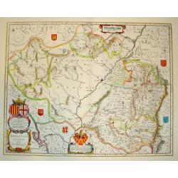
ARRAGONIA REGNUM
A highly decorative map of the historically significant Spanish province of Arragon. Features two elaborate cartouches and several coats of arms, identifying surrounding ...
Place & Date: Amsterdan, c. 1650
Selling price: $150
Sold
Imperii Caroli Magni.
Prepared by Petrus Bertius in 1616. Very large historical map (four sheets joined) depicting the empire of Charles the Great. Fully engraved with mountains, forests, and ...
Place & Date: Amsterdam 1650
Selling price: $500
Sold
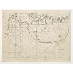
Pascaerte Vertoonende de Mont Vande Teemse en Voort de Custe van Engelandt tot Crammer.
Fine map depicting the English shores between Cromer in the Norfolk and North Foreland in Kent. West to the top.Additional title: Les Costes d?Engleterre depuis le Voorla...
Place & Date: Amsterdam 1650
Selling price: $300
Sold
De Cust van Finmarcken tusschen Dronten en Sanien.
Uncommon chart of the coasts of Finnmark, centered on the Moskstraumen (popularly known as the Maelstrom) one of the strongest whirlpools in the world, that forms in a st...
Place & Date: Amsterdam 1650
Selling price: $200
Sold
Edynburgum.
Detailed bird's-eye view of the town of Edenburg. From Merian's Theatrum Europaeum.
Place & Date: Frankfurt 1650
Selling price: $300
Sold
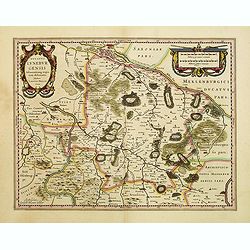
Ducatus Luneburgensis..
Very detailed map centered on Albis river and the cities of Hamburg and Lunburg to the north. Also showing Bremen. Very decorative title cartouche. Scale cartouche embell...
Place & Date: Amsterdam, 1650
Selling price: $220
Sold
Lvnden [London]
Decorative panoramic view London. With extensive shipping in river Themes. Very decorative and of the highest standing of engraving.
Place & Date: Frankfurt 1650
Selling price: $160
Sold
Lacus Lemanni Locorumque circumiacentium Accuratissima. . .
Row boats and sailing vessels dot the surface of Lake Geneva, which is further enhanced by a compass rose radiating rhumb lines. The lake is surrounded by mountains and f...
Place & Date: Amsterdam, 1650
Selling price: $400
Sold in 2017
Tabula Russiae.
A re-issue, by Willem Blaeu, of Hessel Gerritsz' rare and influential map of Russia. This fine map was compiled from manuscripts brought back from Russia, by Isaac Massa ...
Place & Date: Amsterdam 1650
Selling price: $1500
Sold
Livonia vulgo Lyefland.
Blaeu's map of Livonia, embellished with a decorative title-cartouche, vessels and 7 coats of arms.
Place & Date: Amsterdam 1650
Selling price: $170
Sold
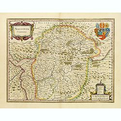
Nassovia Comitatus.
Beautiful map of Nassau, including Coblenz, Siegen, etc.
Place & Date: Amsterdam, 1650
Selling price: $240
Sold
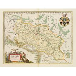
Silesia Ducatus..
Centered on Breslaw.
Place & Date: Amsterdam, 1650
Selling price: $725
Sold in 2008
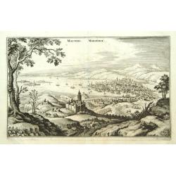
Massilia - Marseille.
Detailed bird's-eye view of the town of Marseille. From Merian's Theatrum Europaeum. To the bottom a lettered key to the principal places in town.
Place & Date: Frankfurt 1650
Selling price: $145
Sold
Tabula Russiae.
A re-issue, by Willem Blaeu, of Hessel Gerritsz' rare and influential map of Russia. This fine map was compiled from manuscripts brought back from Russia, by Isaac Massa ...
Place & Date: Amsterdam, 1650
Selling price: $1550
Sold
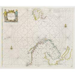
Pascaart Vande zeecusten van Ruslant, Laplant, Finmarcken en Spitzbergen.
It shows the most western part of Russia's north coast, the northernmost part of Scandinavia and Spitsbergen.
Place & Date: Amsterdam 1650
Selling price: $775
Sold
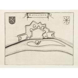
Ravenstein.
A bird's eye view engraving of the Dutch city of Ravenstein.Latin text on verso.
Place & Date: Amsterdam 1650
Selling price: $35
Sold
La Citta di Candia.
From 'Diverse viste delle cita in Candia, Malta, come nel Archipelago'. Etchings by Joh. Peeters, Gaspar Bouttats, Lucas Vorstermans and Coenraad Lauwers.A fine view of t...
Place & Date: Antwerp, I. Peeters, c. 1650
Selling price: $95
Sold in 2020
Nova Totius Livoniae accurata Descriptio.
Decorative map of Estonia and Latvia. Including the southern tip of Finland and the south eastern tip of Sweden, including Stockholm.
Place & Date: Amsterdam 1650
Selling price: $230
Sold
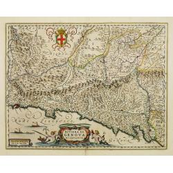
Riviera di Genova di Levante.
Detailed map of the Gulf of Genoa, including the towns of Genoa and La Spezia. Genoa was the birth place of Christopher Columbus.
Place & Date: Amsterdam, 1650
Selling price: $800
Sold
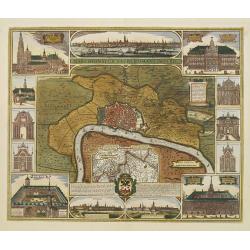
Marchionatus Sacri Romani Imperii.
In the centre a plan of the city of Antwerp with its surroundings. In numerous insets panoramic views of the harbour and parts of the city and pictures of the most import...
Place & Date: Amsterdam, 1650
Selling price: $1450
Sold
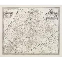
Wirtenberg Ducatus
Map depicting the area south of Heidelberg, including Stuttgart, Ulm, etc.. and river Danube.A beautiful coat of arms and a splendid title cartouche decorated by three ch...
Place & Date: Amsterdam, 1650
Selling price: $90
Sold
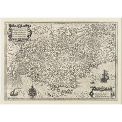
Provinciae, Regionis Galliae, vera exactissimaq. descriptio..
Detailed map of the Province prepared by Pierre-Jean de Bompar who published a single sheet map of the Province in 1591.Title cartouche on the upper left-hand corner. Eng...
Place & Date: Amsterdam, 1650
Selling price: $190
Sold
Transylvania Sibenburgen.
Crisply engraved chart of Transylvania, today parts of Hungary and Romania. Nice detail of forested areas, mountain ranges, rivers and towns.Beautifully colored cartouche...
Place & Date: Amsterdam 1650
Selling price: $160
Sold
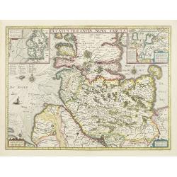
Ducatus Holsatiae nova tabula.
Beautiful map of Schleswich Holstein with two insets.
Place & Date: Amsterdam, 1650
Selling price: $230
Sold in 2011
Cracovia. [Cracow]
Panoramic view of Cracow with a numbered key (1-46) to the most interesting buildings in town.
Place & Date: Frankfurt, c. 1650
Selling price: $450
Sold
Novissima Russiae Tabula.
An attractive small map of European Russia.Johannes Janssonius, the great rival of Willem Blaeu, was the son-in-law of Jodocus Hondius. Together with Jodocus\' son Hendri...
Place & Date: Amsterdam c.1650
Selling price: $150
Sold in 2009
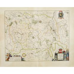
Tertia Pars Brabantiae.
West is at the top. At the lower left the cartouche embellished with male figures with compasses, globe, book and winckel-kruis . At bottom, right of the centre, a beauti...
Place & Date: Amsterdam, 1650
Selling price: $300
Sold in 2008
Afbeeldinge vande vermaerde seehaven .. Duynkerken..
Blaeu's chart of the coast of the French coast from Duinkerk till Waldamme. In an inset, lower right the continuation till Calais. Many ships offshore Duinkerk, with soun...
Place & Date: Amsterdam, 1650
Selling price: $250
Sold in 2008
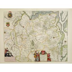
Prima pars Brabantiae cuius caput Lovanium.
Decorative map centered on Tienen and Leuven. West to the top.
Place & Date: Amsterdam, 1650
Selling price: $200
Sold in 2008
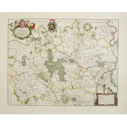
Secunda pars Brabantiae cuis urbus primaria Bruxellae.
At the upper left the title cartouche, decorated with two angels holding the heraldic arms of Brussels, Nijvel and Vilvoorde, next to it that of Brabant. The cartographer...
Place & Date: Amsterdam, 1650
Selling price: $250
Sold in 2008
Tabula Russiae ex autographo, quod delineandum curavit Foedor filius Tzaris Borois desumta .... MDCXIIII
Hessel Gerritsz's map of Russia, first issued 1613. A re-issue, by Willem Blaeu, of Hessel Gerritsz' rare and influential map of Russia. This fine map was compiled from m...
Place & Date: Amsterdam, 1650
Selling price: $1900
Sold in 2020
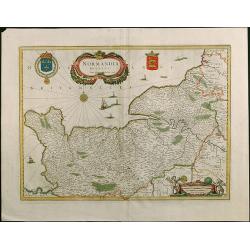
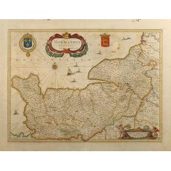
Normandia Ducatus.
Very attractive map of the Normandy in France with the Channel to UK. Various ships and coats of arms are shown.
Place & Date: Amsterdam, 1650
Selling price: $250
Sold in 2008
Ducatus Silesiae Glogani Vera Delineatio
Map of Silesia showing the area of Glogow. German text on back.
Place & Date: Amsterdam, 1650
Selling price: $130
Sold in 2009
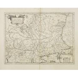
Walachia Servia, Bulgaria, Romania.
The cartographer of this map was Gerard Mercator, but published by the Blaeu family. Map of the region centered on the Lower Danube, Bulgaria, Romania, Serbia and Macedon...
Place & Date: Amsterdam, 1650
Selling price: $550
Sold in 2014
GALLIA. Le royaume de France.
Engraved by the master engraver Josua van den Ende. Attractive map of France, title cartouche at lower left, two royal shields above further shields in the upper corners.
Place & Date: Amsterdam, 1650
Selling price: $900
Sold in 2008
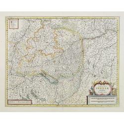
Totius Sueviae novissima tabula.
Beautiful map of Swaben, including Heidelberg, Ulm, Augsburg, Stuttgart, Basel, Zürich, Lucerne, Boden See and Lake Constance.
Place & Date: Amsterdam, 1650
Selling price: $55
Sold in 2018
Walachia Servia, Bulgaria, Romania.
The cartographer of this map was Gerard Mercator, but published by the Blaeu family. Map of the region centered on the Lower Danube, Bulgaria, Romania, Serbia and Macedon...
Place & Date: Amsterdam, 1650
Selling price: $200
Sold in 2014
Normandia Ducatus
Attractive map of the Normandy in France with the Channel to UK by Jan Jansson. Various ships and coats of arms.
Place & Date: Amsterdam, 1650
Selling price: $200
Sold in 2009
Rotterdam.
Decorative plan of Rotterdam. With extensive shipping on foreground. Very decorative and of the highest standing of engraving.
Place & Date: Frankfurt, 1650
Selling price: $375
Sold in 2009
Tertia Pars Brabantiae.
West is at the top. At the lower left the cartouche embellished with male figures with compasses, globe, book and winckel-kruis . At bottom, right of the centre, a beauti...
Place & Date: Amsterdam, 1650
Selling price: $450
Sold in 2009
Secunda pars Brabantiae cuis urbus primaria Bruxellae . . .
No text on verso !. At the upper left the title cartouche, decorated with two angels holding the heraldic arms of Brussels, Nijvel and Vilvoorde, next to it that of Braba...
Place & Date: Amsterdam, 1650
Selling price: $75
Sold in 2018
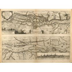
Nobilis Fluvius Albis ... A Ioanne Ianssonio Amstelodami / Emporium Hamburgum
Nice mid 17th century copper engraved map of the course of the Elbe river between Hamburg and the Nordsee by J. Janssonius. With one cartouche and a cityview of Hamburg. ...
Place & Date: Amsterdam, 1650
Selling price: $220
Sold in 2009
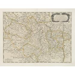
Gouvernement General du Lyonnois . . .
Fine map of central part of France.This edition carries the address of Pierre Mariette: rue St.Jacques a L'Esperance .Nicolas Sanson was to bring about the rise of French...
Place & Date: Paris, 1650
Selling price: $120
Sold
Britannia prout divisa suit temporibus Anglo-Saxonum, præsertim durante illorum Heptarchia.
A fine copy of this famous and decorative map, depicting the ancient kingdoms of Britain, with two side panels. The left-hand border depicts the founders of each of the s...
Place & Date: Amsterdam, 1650
Selling price: $2750
Sold in 2009
Russiae, vulgo Moscovia, pars Australis.
Centered on Moscow. Prepared by Isaac Massa, a Dutch mapmaker who travelled to Russia, returning to Holland in 1609, bringing with him a large amount of original cartogra...
Place & Date: Amsterdam, 1650
Selling price: $520
Sold in 2009















![Lvnden [London]](/uploads/cache/11229-250x250.jpg)






![Cracovia. [Cracow]](/uploads/cache/24989-250x250.jpg)

