Browse Listings in Catch All
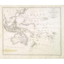
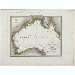
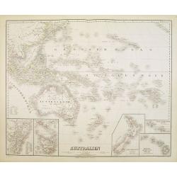
Karta öfver Australien eller Polynesien.
An very rare map of the continent of Australia, Southeast Asia and the Pacific Islands, with Swedish text. This is an heavenly updated version of his map of 1818 and is n...
Place & Date: A. Wiborgs förlag, Stockholm, ca. 1848
Selling price: $250
Sold in 2013
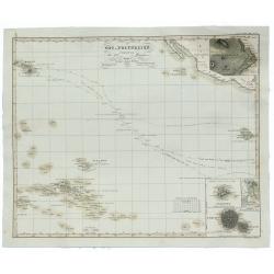
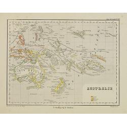
Ost-Polynesien Entwurf von Berghaus, Mai 1848.
An unusual 1854 Adolf Stieler map of eastern Polynesia, showing part of the Hawaiian Islands in the upper left corner. In the lower left corner is Tahiti and Nuka Hiwa. I...
Place & Date: Gotha, 1848
Selling price: $14
Sold in 2019
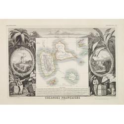
Colonies Françaises. (en Amérique)
A decorative 19th century map of the colony islands Guadeloupe, Grande Terre and Marie Galante, which is surrounded by beautifully engraved vignettes and tropical plants ...
Place & Date: Paris 1850
Selling price: $70
Sold
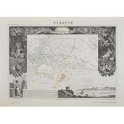
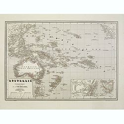
Océanie.
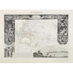
A very decorative 19th century map of the Pacific Ocean, with hand colored lines indicating the extent of Polynesia, Mirconesia, Melanesia, and Malaysia (or Southeast Asi...
Place & Date: Paris, 1850
Selling price: $80
Sold in 2009
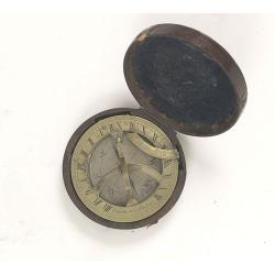
Pocket brass sundial with magnetic compass and hardwood case.
The top of the sundial is hinged and a curved scale is used to set your local latitude angle. The magnetic compass permits the sundial to be oriented North. The local tim...
Place & Date: London, ca. 1850
Selling price: $1450
Sold in 2010
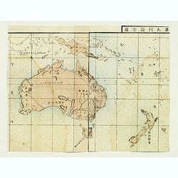
Australia and New Zealand.
Japanese map of Australia and New Zealand from a geography book.
Place & Date: Japan, ca. 1850
Selling price: $40
Sold in 2012
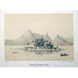
Dronning Pomares Oe.
Rare lithographed plate of an island in French Polynesia with huts, people, and boats. After a drawing by Christian Thornam.
Place & Date: Copenhagen, ca. 1850
Selling price: $50
Sold in 2015
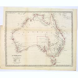
Australia in 1846.
In original outline color, a map of the continent of Australia in 1846, from the S.D.U.K. publication. The map identifies the years and names of the explorers who discove...
Place & Date: London, ca. 1850
Selling price: $45
Sold in 2017
Australia.
A large, colored map of the continent of Australia, featuring 'Counties in Western Australia' 1-26 & 'Counties in South Australia 1-36'. As you would expect, nearly a...
Place & Date: Edinburgh, ca 1850
Selling price: $40
Sold in 2019
Perth, in West-Australien, vom Berge Eliza aus.
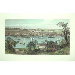
A very decorative steel engraving of the city with buildings, and sailing ships. Drawn by A. H. Payne, engraved by W. French. Published only 20 years after foundation. Ta...
Place & Date: Leipzig, ca. 1850
Selling price: $13
Sold in 2020
[LOT OF 4 MAPS] Parts of Australia.
Set of four highly decorative maps of Australia: 1) Western Australia - Swan River 2) New South Wales 3) Part of South Australia 4) Victoria or Port Phillip The Tallis ...
Place & Date: London/New York, c1851
Selling price: $217
Sold in 2013
AUSTRALIA.
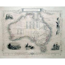
Great steel engraved map of Australia, with decorative vignettes of Australian Parrots, Aborigines, Kangaroos, and a view Sydney. A very accurate and detailed map, inclu...
Place & Date: London / New York, c1851
Selling price: $380
Sold in 2013
A Distant View of the Falls of Niagara.
A fine colored print of Niagara Falls accented by a Rococco trellis and five miniature engravings.
Place & Date: Edinburgh, 1851
Selling price: $99
Sold in 2015
Western Australia, Swan River.
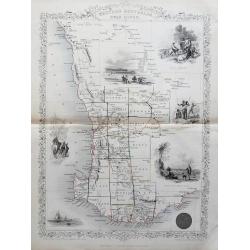
Decorative steel engraved map of part of Western Australia and Swan River extending from Champion Bay to Doubtful Island Bay. With decorative illustrations of Perth, Abor...
Place & Date: London, ca. 1851
Selling price: $75
Sold in 2014
Probable Effects of Over Female Emigration.
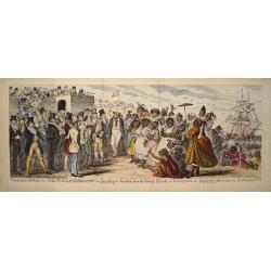
Hand-colored satirical etching by illustrator & cartoonist, George Cruikshank and issued in his "THE COMIC ALMANAC" for 1851. On the left of this panoramic ...
Place & Date: London, 1851
Selling price: $135
Sold in 2016
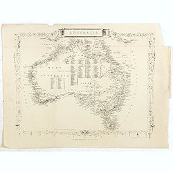
Australia.
Steel engraved map of Australia, taken from a geographical series, not the same as a Tallis atlas map. The map is more frequently seen with surrounded illustrations of Sy...
Place & Date: London, the london printing and publishing company, ca. 1851
Selling price: $100
Sold in 2020
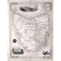
Van Diemen's Island or Tasmania.
A very decorative steel-engraved map of the island, highly detailed with place names, rivers, hills, bays, etc.Attractively illustrated with vignette style views of Hobar...
Place & Date: London, 1851
Selling price: $95
Sold in 2016
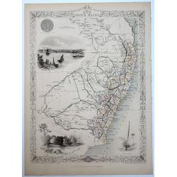
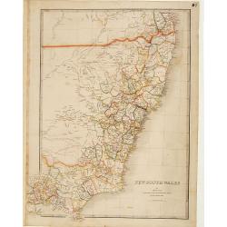
New South Wales.
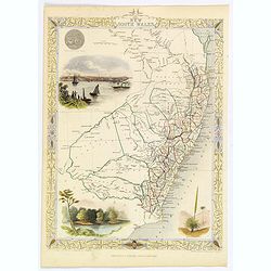
A decorative steel engraved map of the Australian state of N.S.W., surrounded by steel engraved vignette illustrations. Further enhanced with a decorative border design.J...
Place & Date: London, ca. 1851
Selling price: $100
Sold in 2018
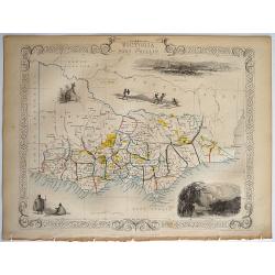
Victoria or Port Phillip.
A decorative steel engraved map of the Australian state of Victoria, surrounded by steel engraved vignette illustrations. Further enhanced with a decorative border design...
Place & Date: London, ca. 1851
Selling price: $80
Sold in 2018
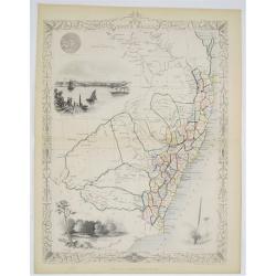
New South Wales.
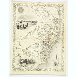
A decorative steel engraved map of New South Wales, surrounded by illustrations of Sydney Cove, native trees and the seal of New South Wales. Interlocking border design. ...
Place & Date: London, ca 1851
Selling price: $55
Sold in 2020
Part of South Australia.
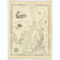
A decorative steel engraved map of the southern part of South Australia, surrounded by illustrations of Adelaide, natives on a catamaran, the seal of the state, an Austra...
Place & Date: London, ca. 1851
Selling price: $35
Sold in 2020
New South Wales.
A decorative steel engraved map of New South Wales, surrounded by illustrations of Sydney Cove, native trees along the Murray River, 'black boy' trees, and the seal of Ne...
Place & Date: London, ca 1851
Selling price: $45
Sold in 2019
Océanie.
Map of Oceania (Australia, New Zealand, and New Guinea, and all of the Malay Archipelago), divided into four parts. "Malaisie" includes the islands of Southeast...
Place & Date: Paris, A. Combette, 1852
Selling price: $80
Sold in 2009
Tab IV. Insulae Nippon partem septentrionalem repraesentans.
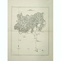
Fine map of the most northern part of Honshu, including Fukushima, the island of Sado island.One of the few large scale maps, of Japan included in the rare work by Von Si...
Place & Date: Leiden, 1832-1852
Selling price: $450
Sold in 2016
Tab III. Insulae Nippon partem orientalem repraesentans.
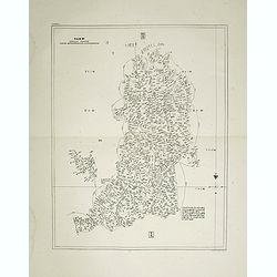
Fine map of the eastern part of Honshu, including Tokyo, Yokohama, Chiba, Shizuoka, Saitama and as far east as Izu Islands.One of the few large scale maps of Japan includ...
Place & Date: Leiden, 1832-1852
Selling price: $450
Sold in 2016
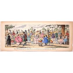
The Bloomers in Hyde Park.
Hand-colored satirical etching by illustrator & cartoonist, George Cruikshank and issued in his "THE COMIC ALMANAC" for 1852.This etching features men and w...
Place & Date: London, 1852
Selling price: $159
Sold in 2016
Australia
A highly detailed and attractive map of Australia drawn and engraved by William Hughes – Sidney Hall, steel engraved.Published by Adam & Charles Black in the ‘Gen...
Place & Date: Edinburgh, 1854
Selling price: $65
Sold in 2016
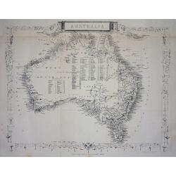
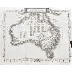
Australia.
This is the uncommon and slightly later edition by Rapkin based on Tallis' maps. The vignettes have been removed and the map is issued in black and white. With decorative...
Place & Date: London 1855
Selling price: $80
Sold
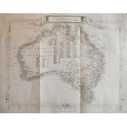
Australia.
Very detailed and up-to-date map, including tables of counties in Victoria, West Australia, and NSW. This is the uncommon and slightly later edition by Rapkin based on T...
Place & Date: London, c1855
Selling price: $65
Sold in 2013
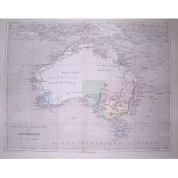
Nouvelle Hollande ou Australie.
Very interesting and detailed map of Australia, with the border of "Australie heureuse" along the Lachlan River. With numerous bays, rivers, hills, islands, etc...
Place & Date: Paris, c1855
Selling price: $21
Sold in 2014
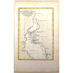
Chart Exhibiting the Discoveries of the Second American Grinnell Exhibition in Search of Sir John Franklin.
The expedition searching for Sir Franklin resulted in important advances in the exploration of Greenland and other previously unexplored Arctic regions.
Place & Date: New York, 1855
Selling price: $99
Sold in 2016
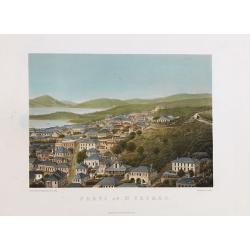
Parti af St. Thomas.
A beautiful view of the capital town of St. Thomas on the island St. Thomas. This view shows much of the town and surrounding area. One of a series of six lithographs of ...
Place & Date: Copenhagen, Baerentzen & Co, 1856
Selling price: $900
Sold in 2020
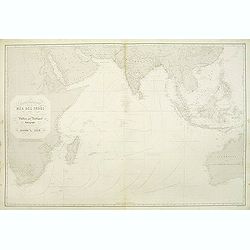
Carte générale de la Mer des Indes dressée apres les derniers documents Anglais Publiée par Robiquet . . .
A of the Indian Ocean, with its islands and adjacent coasts in detail. The chart stretches from the Congo coast, around Africa, Arabia, India and South East Asia, includ...
Place & Date: Paris, 1856
Selling price: $425
Sold in 2011
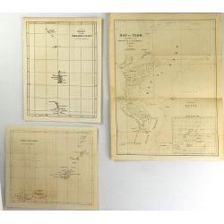
(Three Perry Maps) Bay of Yedo, Chart of the Bonin Group of Islands & Great Lew Chew.
These are quaint original antique maps from "Narrative of an Expedition of an American Squadron to the China Seas and Japan" by Commodore M.C. Perry.
Place & Date: Washington, 1854-1856
Selling price: $15
Sold in 2016
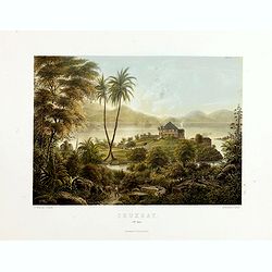
Cruxbay (St. Jan).
A beautiful view of Crux bay on the island St. John. This view shows much of the town and surrounding area. One of a series of six lithographs of St. Thomas produced by t...
Place & Date: Copenhagen, Baerentzen & Co, 1856
Selling price: $700
Sold in 2019
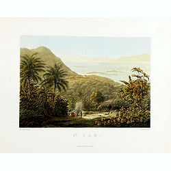
St. Jan.
A beautiful view on the island St. John. This view shows a planter and 2 locals cooking on a fire. One of a series of six lithographs of St. Thomas produced by the publis...
Place & Date: Copenhagen, Baerentzen & Co, 1856
Selling price: $400
Sold in 2019
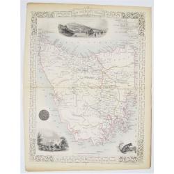
Van Diemen's Island or Tasmania.
Double page steel engraved map of Tasmania. Three vignette including one of Hobart Town. Decorative scrolling and title cartouche to the edges of the image. For the Great...
Place & Date: London & New York: John Tallis & Company, 1856
Selling price: $100
Sold in 2020
New South Wales.
Double page steel engraved map. With vignette illustrations of Sydney Cove and The Murray. Two other illustrations of the Seal of New South Wales and the plant XanthorrÃ...
Place & Date: London & New York: John Tallis & Company, 1856
Selling price: $100
Sold in 2020
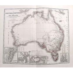
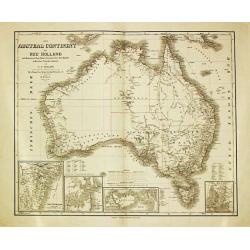
Das Austral-Continent oder Neu Holland nach Krusenstern, King, Flinders, Freycinet, Oxey, Sturt, Mitchell in Mercator's Projection entworfen von C.F. Weiland...
Fine early map of Australia with the recent explorations of Eyre, Frome, Grey, Stokes, Leichardt, und Strzeliecki. Most of Australia is left blank! Includes four inset ma...
Place & Date: Weimar, 1858
Selling price: $74
Sold in 2017
L'Australia con la divisione delle sue coste proposta dal Capit° Vetch.
Uncommon map of Australia after James Vetch, a military engineer by training, Vetch was commissioned into the Royal Engineers and served with distinction in the Peninsula...
Place & Date: Genova, Paolo Rivara fu Giacomo, 1858
Selling price: $210
Sold in 2020
The old couple.
Etching by Jozef Israels (1824-1911) of a farm interior with an old woman on a chair, light falling on her from the right handed-side window. An Ill(?) man in his bed.No ...
Place & Date: The Netherlands, ca.1860
Selling price: $35
Sold in 2011
Australie.
Uncommon map of Australia, New Zealand and Pacific. Lithography by J.H. van Weijer, published in Atlas der geheele Aarde in 24 kaarten. With colored key to French, Englis...
Place & Date: Groningen, ca. 1860
Selling price: $30
Sold in 2011
Australie naar de beste Bronnen. . .
Detailed map of Australia with insets of West Australia, New South Wales, van Diemensland. Showing the Pacific with part of China, Borneo, and New Guinee.The firm Oomkens...
Place & Date: Groningen, 1860
Selling price: $50
Sold in 2011
Tasmania or Van Diemen's Island
A large and detailed lithographed map. It shows many towns, counties, rivers, and notes on the topography. Relief shown by hachures and spot heights. In the lower right-h...
Place & Date: London, ca. 1860
Selling price: $50
Sold in 2016
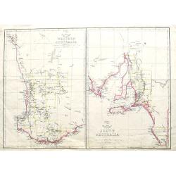
Western Australia; South Australia;
Two maps on one sheet. Both maps are highly detailed, with many place names. The maps show Perth, Adelaide, and Kangaroo Island. The Weekly Dispatch newspaper was publi...
Place & Date: London, ca. 1860
Selling price: $7
Sold in 2018
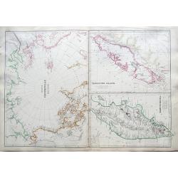
North Circumpolar regions / Vancouver Island / Kamtschatka.
Three maps on a douple page sheet. The maps are very detailed, with place names, rivers, islands, towns, forts, etc. The map of Vancouver shows the island in considerable...
Place & Date: Glasgow/Edinburgh/London, ca. 1860
Selling price: $30
Sold in 2019
(untitled).
A Japanese woodblock map from the Edo period (1800-1868). It shows a part of the Kagoshima Prefecture on the island of Kyushu. An attractive and unusual map!
Place & Date: Japan, ca 1860
Selling price: $46
Sold in 2019
Australia.
A very detailed and up-to-date map, including tables of counties in Victoria, Western Australia, and New South Wales.This is the uncommon and slightly later edition by Ra...
Place & Date: London, ca 1860
Selling price: $39
Sold in 2020
DISASTROS.
Fr.Goya y Lucientes (1746-1828), from the series "Disastros": "y no had remedios", from the 1st edition of Desastros, Madrid 1863.Original etching and...
Place & Date: Madrid 1863
Selling price: $180
Sold
New South Wales. . .
Very detailed map of New South Wales. The gold deposits are marked in yellow.James Wyld (the younger) was geographer to the Queen and H.R.H. Prince Albert. Joined his fat...
Place & Date: London 1855/1863
Selling price: $500
Sold in 2010
[Game of the goose dedicated to horse racing]
Game of 100 boxes, spiral, counter clockwise, centripetal, dedicated to horse racing. The example was made by "Imagerie d'Epinal" and next to the title is "...
Place & Date: Epinal, 1863
Selling price: $100
Sold in 2020
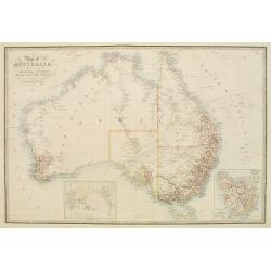
A map of Australia..
Very detailed map of Australia with inset maps of Van Diemen Land and a world map in Mercator projection, centered on Australia.James Wyld (the younger) was geographer to...
Place & Date: London, 1855/1864
Selling price: $650
Sold in 2008
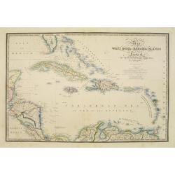
Map of the West India & Bahama Islands..
Very detailed map of the Caribbean, including Southern tip of Florida, Bahamas' Islands, north coast of Venezuela and Honduras.James Wyld (the younger) was geographer to ...
Place & Date: London, 1855/1864
Selling price: $750
Sold in 2017
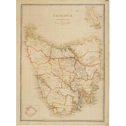
Tasmania or Van Diemens Land. . .
Very detailed map of Tasmania with inset map of Kings Island.James Wyld (the younger) was geographer to the Queen and H.R.H. Prince Albert. Joined his father's business i...
Place & Date: London 1855/1864
Selling price: $350
Sold in 2012
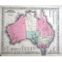
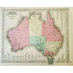
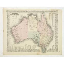
Johnson's Australia by Johnson and Ward.
A decorative map of Australia surrounded with Johnson's strapwork border. Very detailed map with many place names, even in the interior. With tables containing reference...
Place & Date: New York, c1864
Selling price: $45
Sold in 2012
Johnson's Australia by Johnson and Ward.
A decorative map of Australia surrounded with Johnson's strapwork border. Very detailed map with many place names, also in the interior. With tables containing reference...
Place & Date: New York, c1864
Selling price: $65
Sold in 2012
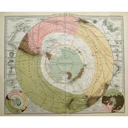
Süd-Polar-Karte von A. Petermann.
Amazing map of the South Pole, filled with lines of shipping routes, explorers routes and dates. Includes New Zealand, parts of Australia, South Africa, and South America...
Place & Date: Gotha, 1864
Selling price: $100
Sold in 2014
Australie.
In lower left hand corner a view of Sidney, drawn by Fillatreau and engraved by Soudain.
Place & Date: Paris, 1865
Selling price: $200
Sold in 2008
Das Austral Continent oder Neu Holland.
A map of the Australian continent with insets showing N.S.Wales, Sydney, Melville Island and Adelaide.
Place & Date: Wimar, 1866
Selling price: $160
Sold in 2009
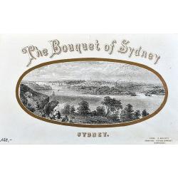
The Bouquet of Sydney.
An unusual view of Sydney on an envelope! This small but detailed image of the city shows the harbour with many ships and people in the foreground. With gold printed fram...
Place & Date: Hamburg, ca. 1868
Selling price: $80
Sold in 2020
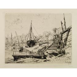
Harbour at Concarneau.
Etching of a landscape with the harbour of Concarneau, signed Lalanne.Early state, with the the erasion of the original "Trouville" at bottom right. Still wrong...
Place & Date: France ca. 1870
Selling price: $100
Sold
Johnson's Australia by Johnson and Ward.
A beautiful example of A. J. Johnson’s later map of Australia much detail marked in the interior. North Australia instead of Northern Territory. Tables in the corners s...
Place & Date: M. McDouall Stuart, Burke and Wills, New York, c. 1870
Selling price: $50
Sold in 2012
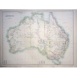
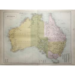
Australia.
Large scale map of Australia by John Bartholomew and published in Edinburgh by Adam & Charles Black in 1870. The map shows provincial boundaries and has high detail o...
Place & Date: Edinburgh, 1870
Selling price: $80
Sold in 2015
*untitled*
Uncommon map of Australia by Henri Plon, published in Beauvoir's "Australie. Voyage autour du monde". A red line indicates the route of the voyage from arriving...
Place & Date: Paris, 1872
Selling price: $55
Sold in 2012
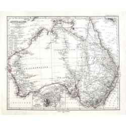
Australien.
A highly detailed map of Australia. With an inset map of Sydney and Port Jackson. Includes notes, explorer routes and dates.By A. Petermann, published in "Stieler's ...
Place & Date: Gotha, 1872
Selling price: $28
Sold in 2018
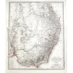
Süd-Ost Australien.
A highly detailed map of parts of Queensland, New South Wales, and Victoria, it also includes Adelaide, Melbourne, Sydney, and Brisbane. Includes notes, explorer routes a...
Place & Date: Gotha, 1872
Selling price: $10
Sold in 2018
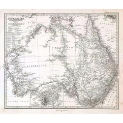
Australien.
Australia by Adolph Stieler.
Place & Date: 1873
Selling price: $90
Sold in 2009
QUEBEC
A wonderful view of Quebec taken from a sketch produced in the 1850's. Possibly one of the finest published 19th century views of the city. Quebec's fortifications and ke...
Place & Date: New York, 1874
Selling price: $50
Sold
Australien.
Detailed map of Australia, with inset maps of New South Wales and Adelaide.The map is engraved by W.Kratz and C.Poppey jr. and published in Weimar at the Geographisches I...
Place & Date: Weimar, 1874
Selling price: $400
Sold in 2014
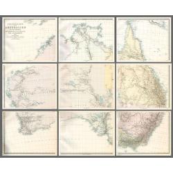
Specialkarte von Australien in 9 Blättern nach originalen & officiellen Quellen .
Large map of Australia showing towns, drainage, railways and telegraph lines and county boundaries. The map features the routes taken by explorers inland including some l...
Place & Date: Gotha, 1875
Selling price: $450
Sold in 2010
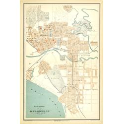
Atlas universel, Plan de Melbourne (Australie).
Early street map of Melbourne showing the inner suburbs of Melbourne from North coast in the north to Brighton in the south including parks, railways and gardens. Printed...
Place & Date: Paris, 1877
Selling price: $230
Sold in 2010
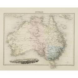
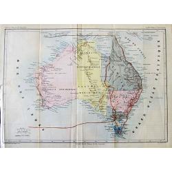
AUSTRALIE
A superb map of Australia published by J. Migeon. The states are divided by color. In the lower left hand corner is a vignette view of Sydney, drawn by Fillatreau, and en...
Place & Date: Paris, 1878
Selling price: $100
Sold in 2020
Carte de l'Australie ou Nouvelle Hollande dressée d'aprés les derniers documents Anglais par Robiquet, Hydrographe, . . .
A of the Australia, with its islands and adjacent coasts in detail.
Place & Date: Paris, 1879
Selling price: $600
Sold in 2019
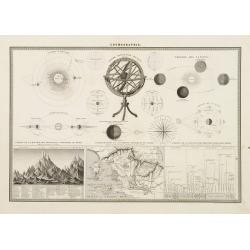
Armillary Sphere.
Very fine print of a typical 19th century armillary sphere. Ecliptic with named zodiac and calendar scales. Lower part 3 inset maps one with mountains heights.
Place & Date: Paris, 1880
Selling price: $40
Sold in 2013
Map of Australia Drawn and Engraved On Copper-Plate Expressly for Johnson's Universal Cyclopaedia.
Fine map of Australia with attractive coloring. With interesting detail, indicating the routes of the expeditions of Gregory in 1856, Stuart in 1860, and Burke & Will...
Place & Date: New York, c1880
Selling price: $2
Sold in 2013
[LOT OF 4 MAPS] Australia.
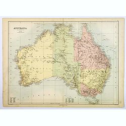
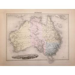
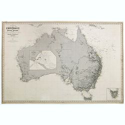
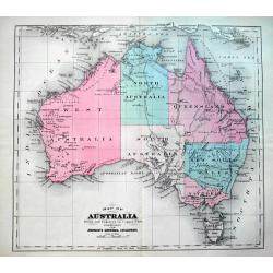
Set of five 19th century maps on four sheets: 1) Australia. On backside: Physical map of Australasia. J. Bartholomew ca. 1880. 2) Australia & New Zealand. J. Barthol...
Place & Date: 1840-1880
Selling price: $11
Sold in 2016
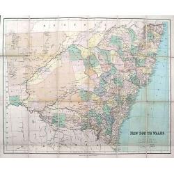
New South Wales.
Large and detailed folding map of New South Wales. 24 segments on linen. Original cover with gilt title. Advert label inside. Published by George Philip & Son 32 Flee...
Place & Date: London & Liverpool, ca. 1880
Selling price: $20
Sold in 2019
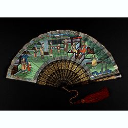
A Chinese Mandarin fan of a Palace garden scene.
Folding fan made of sheet paper, gouache painting depicting a lively garden of a dignitary and servants whose costumes are silk applied (in relief), the heads of the char...
Place & Date: China, 1880
Selling price: $900
Sold in 2021
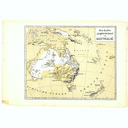
Oro-Hydrographische Kaart van Australië.
One of the earliest thematic maps of Australia and New Zealand published in the Netherlands from "Atlas der natuurkundige aardrijkskunde. . .". prepared by Nico...
Place & Date: Amsterdam, C.L. Brinkman, 1883
Selling price: $20
Sold in 2021
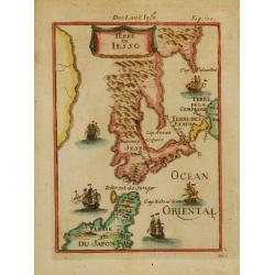
Terre de Iesso.
A charming small map of Hokkaido and the northern part of Honshu. With four western ships in the sea, by Allain Manneson Mallet (1630-1706), a well traveled military engi...
Place & Date: Franckfurth 1884
Selling price: $300
Sold

![[LOT OF 4 MAPS] Parts of Australia.](/uploads/cache/92569-250x250.jpg)




![[Game of the goose dedicated to horse racing]](/uploads/cache/43905-250x250.jpg)
![[LOT OF 4 MAPS] Australia.](/uploads/cache/97310-250x250.jpg)
